Diverse terrain with a famous challenging climb – Passwang Pass
Cycling routes from Staufen
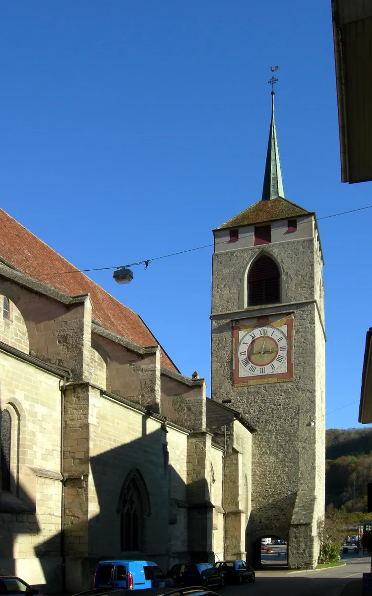
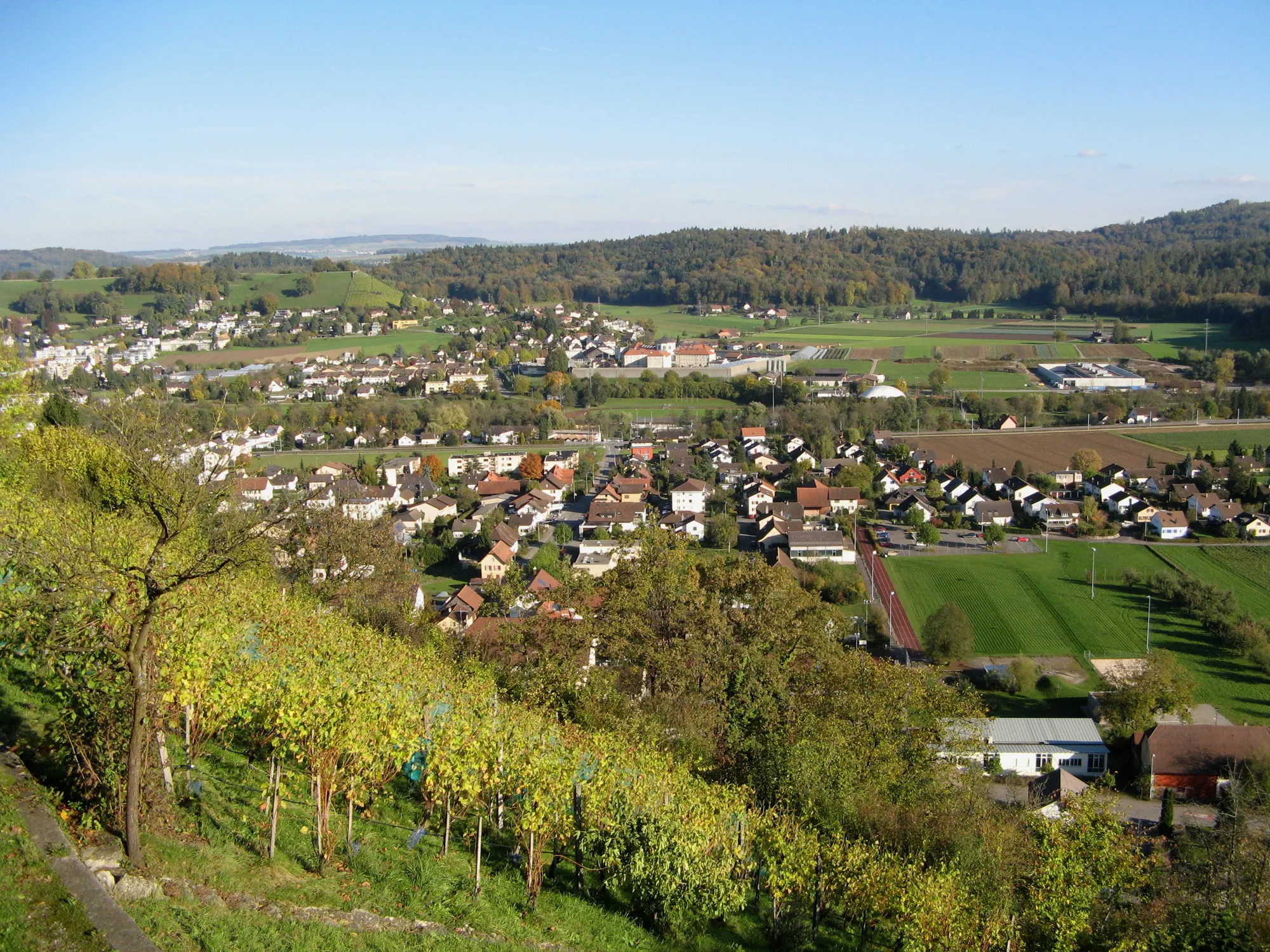
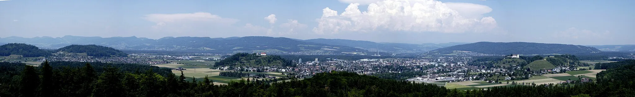
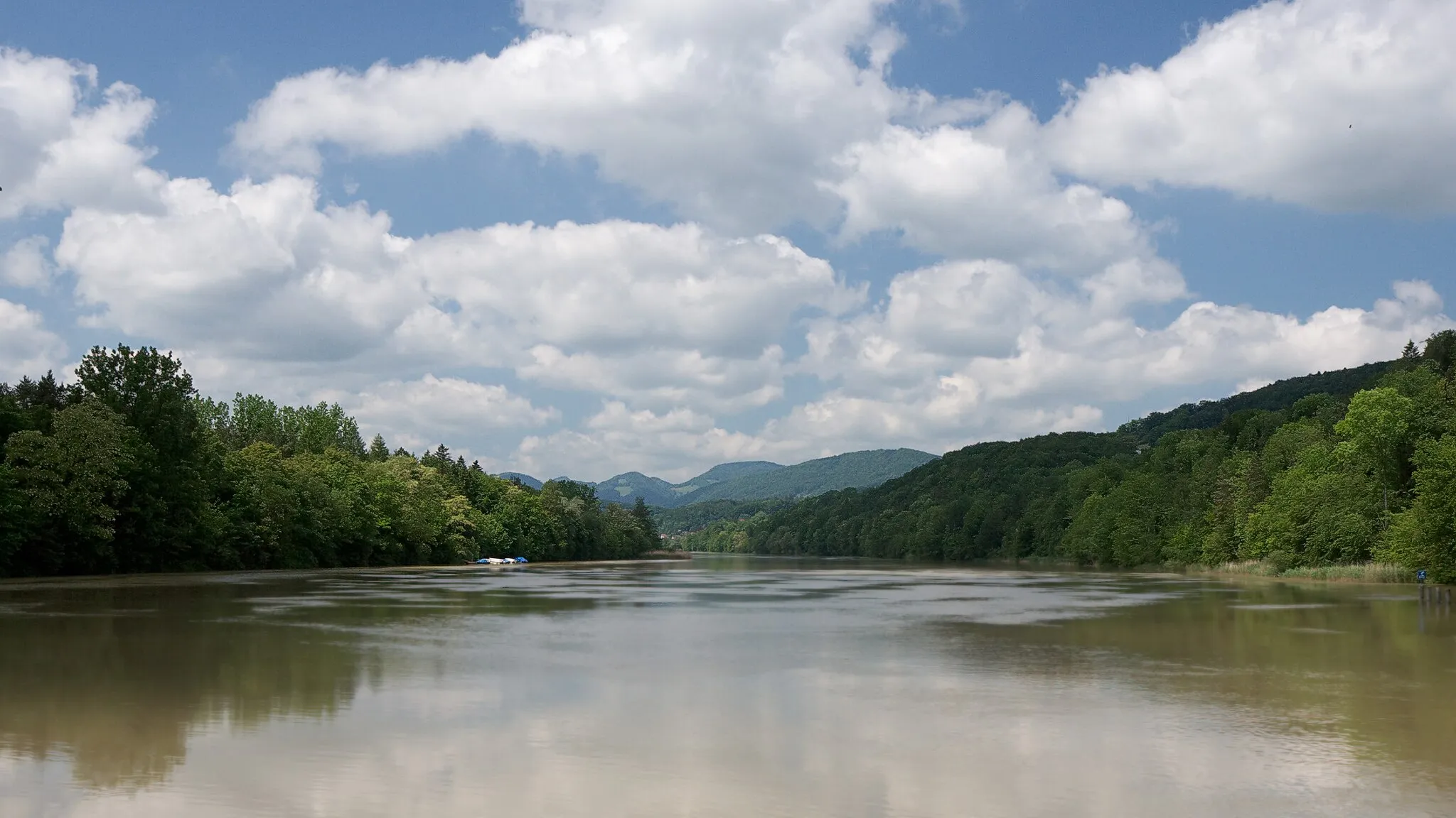
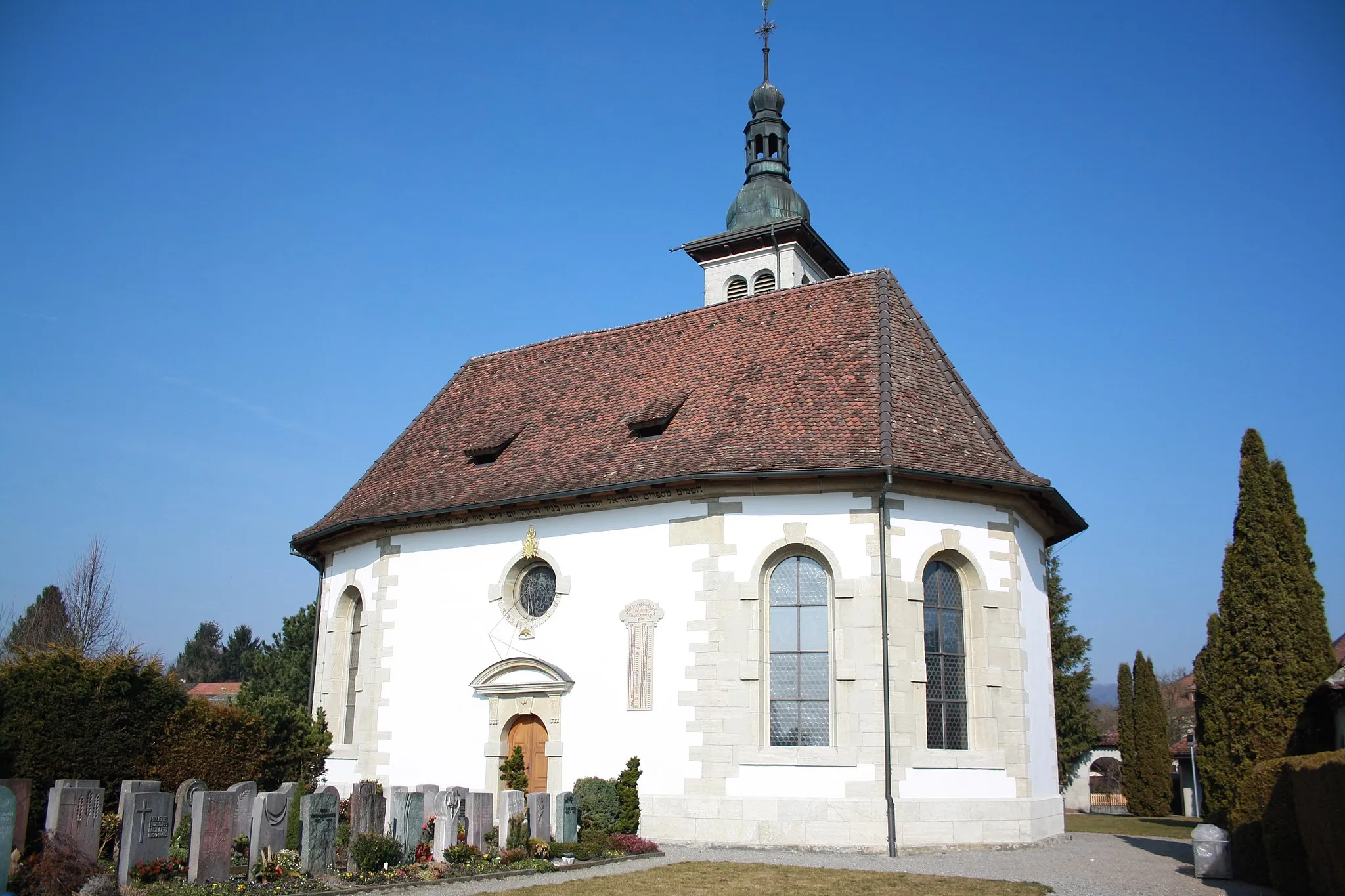
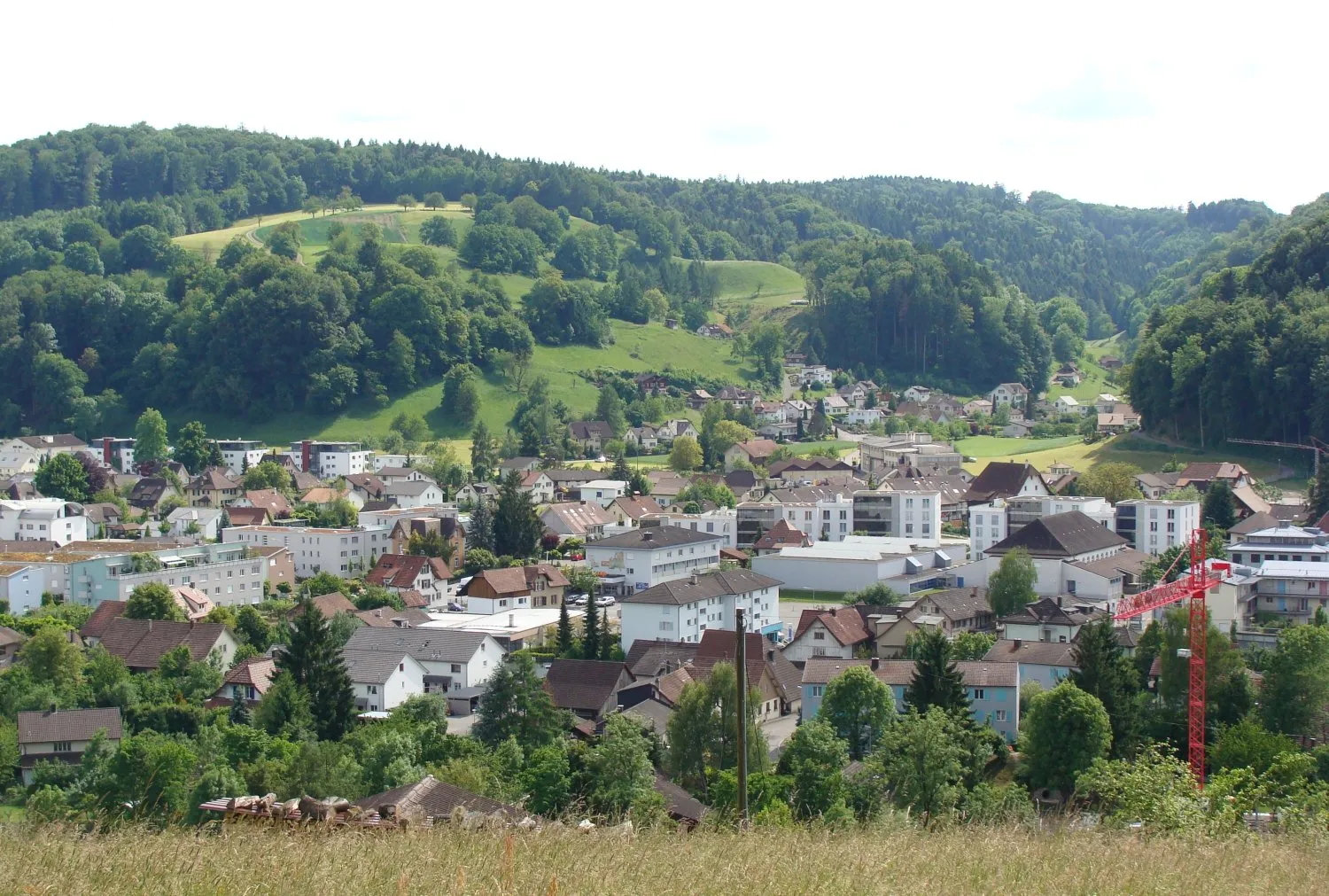
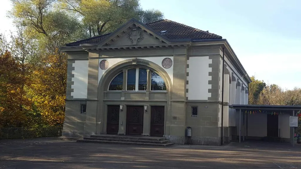
Staufen, located in Nordwestschweiz, Switzerland, is a suitable locality for road and gravel cyclists. Its rolling terrain offers a mix of flat stretches and moderate climbs, providing a diverse cycling experience. Staufen is home to the famous Passwang Pass, a challenging climb that attracts cyclists looking for a test of endurance. Overall, Staufen is a good cycling area with opportunities for both leisurely rides and challenging climbs.
Gravel Adventure near Staufen
Embark on an adventurous gravel ride through scenic landscapes
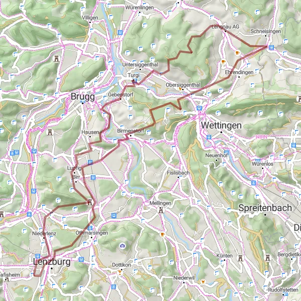
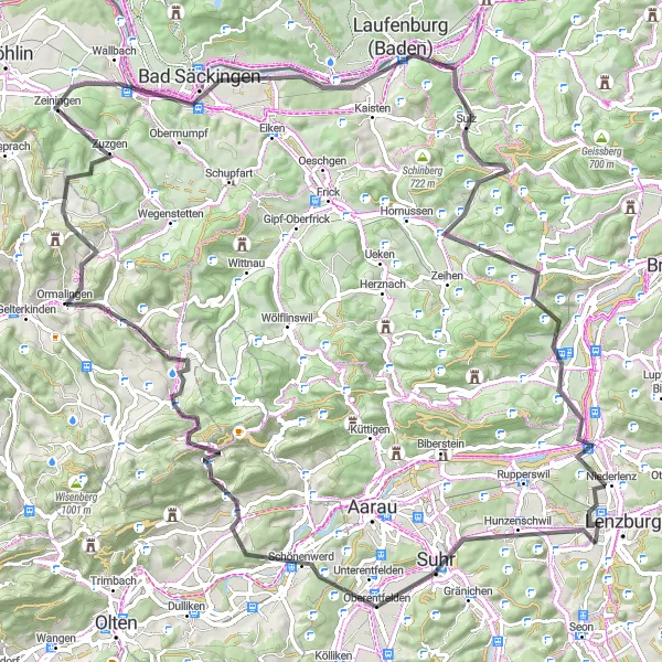
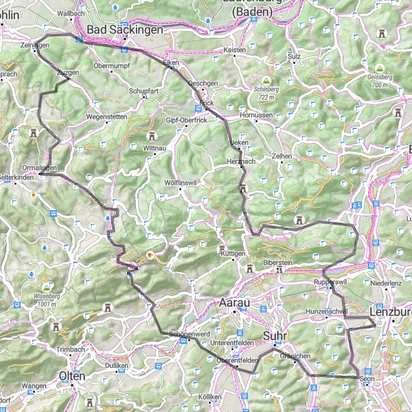
The Gravel Adventure near Staufen is a thrilling cycling route that takes you off the beaten path. Covering a distance of 63 kilometers with an ascent of 1285 meters, this route is suitable for gravel bikes and will challenge intermediate cyclists. Explore the peaceful countryside and encounter natural wonders along the way. Highlights include Staufen, a quaint village at the start of the route, and Windisch, a town famous for its rich history and picturesque architecture. With its mix of off-road sections and stunning landscapes, this gravel adventure will leave you with lasting memories.
Exploring a gravel cycling route near Staufen
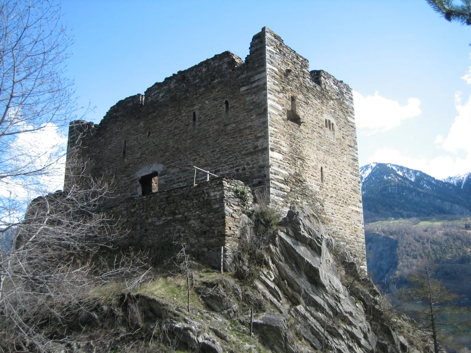
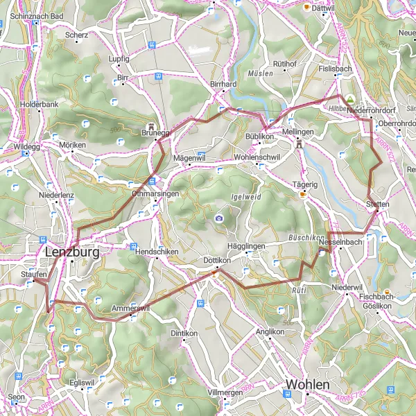
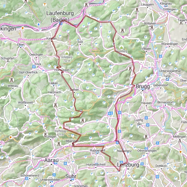
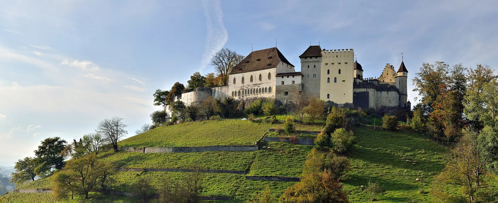
This gravel route near Staufen takes you through scenic landscapes and historic sites. Starting at Staufberg, you'll venture to the picturesque town of Lenzburg, famous for its well-preserved Medieval castle. Along the way, you'll also pass through Mellingen, known for its charming village center, and Hürst, where you can catch glimpses of the majestic Rhine River. The route is moderately difficult with an ascent of 528 meters over a distance of 35 kilometers. It offers a unique mix of nature and culture, perfect for gravel enthusiasts.
Hidden Gems Gravel Loop
Discover hidden gems on this scenic gravel route
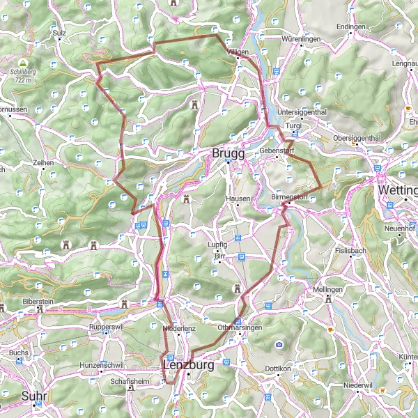
The Hidden Gems Gravel Loop is a scenic 57-kilometer cycling route that takes you through some of Switzerland's hidden gems. With an ascent of 1009 meters, this route is suitable for intermediate cyclists looking to explore off-the-beaten-path destinations. Starting at Staufen, you'll pass through picturesque villages and admire the beautiful landscapes along the way. Highlights of this route include the tranquil village of Staufberg, known for its panoramic views, and the Bözbergpass, a challenging climb offering stunning vistas. Explore lesser-known spots such as Mönthal, with its charming old buildings, and Egg, a peaceful village surrounded by nature. Overall, the Hidden Gems Gravel Loop promises a memorable adventure through lesser-explored regions of Switzerland.
Discover scenic landscapes and historic towns on a road cycling adventure
This road cycling route near Staufen takes you through picturesque landscapes and historic towns. Starting at Staufberg, you'll pass through the charming village of Eggenwil and enjoy breathtaking views of the surrounding countryside. Along the way, you'll cycle through the beautiful town of Villmergen, known for its historic buildings and quaint atmosphere. With an ascent of 511 meters over a distance of 42 kilometers, this route offers a moderate challenge and showcases the beauty of this region.
Bözberg Loop
Visit the iconic Bözbergpass on this challenging road cycling route
The Bözberg Loop is a challenging road cycling route that takes you through picturesque Swiss villages and stunning mountain scenery. With a total ascent of 1575 meters over a distance of 98 kilometers, this route will test even the most well-trained amateurs. The highlight of the route is the Bözbergpass, a famous climb known for its breathtaking views and challenging switchbacks. Overall, the Bözberg Loop offers a mix of natural beauty and adrenaline-pumping climbs.
A scenic gravel route featuring picturesque landscapes and historic sites
This gravel cycling route takes you on an adventure through the scenic landscapes and historic towns near Staufen. Starting at Rupperswil, you'll ride through the breathtaking Staffelegg pass, famous for its stunning views. Along the way, you'll encounter the Hans-Thoma lookout point, offering panoramic vistas, and the charming town of Laufenburg, known for its well-preserved old town and historic architecture. With an ascent of 1266 meters over a distance of 72 kilometers, this route is moderately challenging and offers a perfect balance of natural beauty and cultural heritage.
Experience scenic landscapes and charming towns on this road cycling route
This road cycling route near Staufen takes you through beautiful landscapes and charming towns. Starting at Staufberg, you'll ride through lush countryside to Niederlenz, known for its idyllic setting and picturesque views. Pedaling further, you'll reach Windisch, where historic landmarks such as the Legionary Trail await you. You'll also pass by Bruggerberg with its famous Wasserturm Baldegg and enjoy the beauty of nature in Mellingen and Dottikon. With an ascent of 457 meters over a distance of 47 kilometers, this route is moderately challenging and offers a wonderful cycling experience.
Embark on an epic road cycling adventure near Staufen
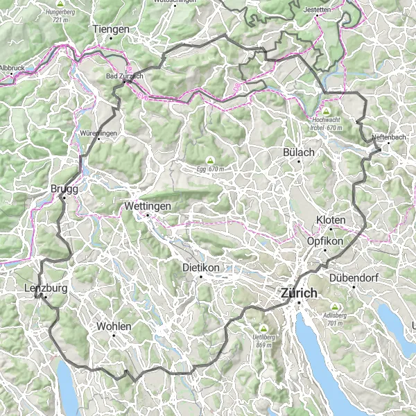
This road cycling route near Staufen takes you on a challenging journey through the diverse landscapes of Nordwestschweiz. Starting at Staufberg, you'll pass through incredible highlights such as the picturesque town of Brugg and the famous thermal spa town of Bad Zurzach. As you pedal further, you'll tackle difficult climbs like the Hornbuck and get a taste of Switzerland's countryside in Rafz. Steeper climbs await you at Multberg and Oberembrach before descending towards Dietlikon. The route offers stunning views, is highly demanding with an ascent of 2083 meters over a distance of 144 kilometers, and is perfect for experienced road cyclists craving exhilarating challenges.
Conquer the Jura hills on this challenging road cycling route
The Jura Hills Challenges is a demanding road cycling route suited for experienced cyclists seeking an adrenaline-pumping adventure. With an ascent of 1698 meters over a distance of 98 kilometers, this route will test your endurance and climbing skills. Start at Staufberg and tackle the challenging Suhr climb before heading towards Oltingen, known for its scenic beauty. The highlight of the route is the Schlegel, a steep climb infamous among local cyclists. As you continue, you'll pass through picturesque Swiss villages and enjoy breathtaking views of the countryside. The Jura Hills Challenges is a route that rewards those who conquer its demanding terrain with stunning vistas and a true sense of accomplishment.
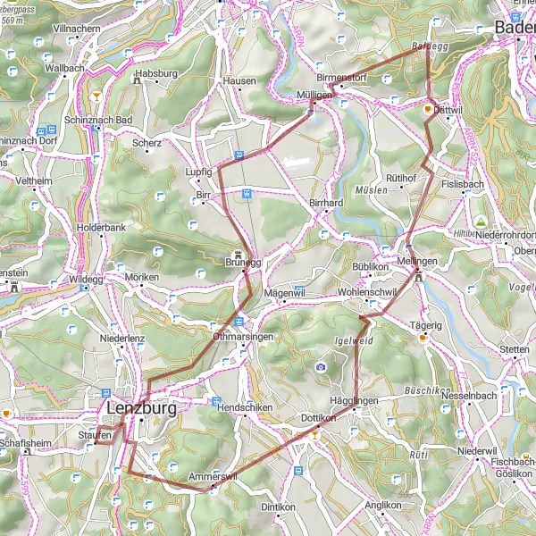
Experience the beauty of the Swiss countryside on this scenic gravel ride
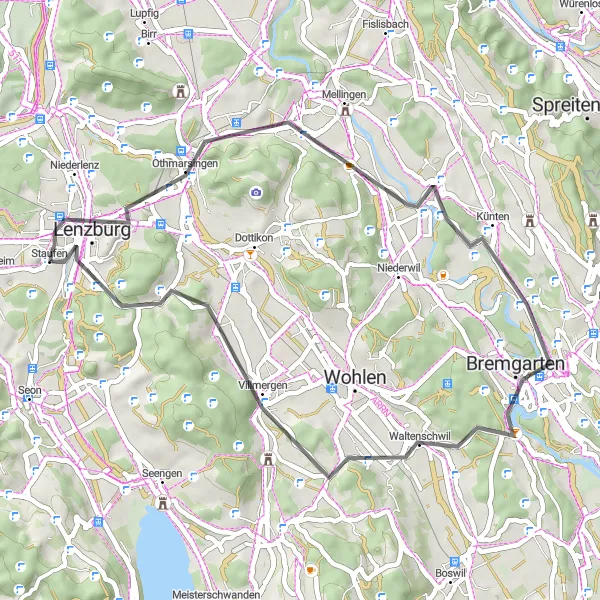
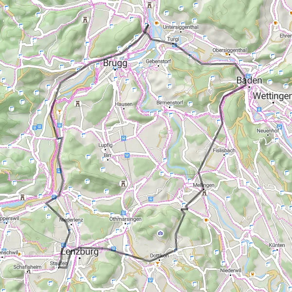
The Scenic Gravel Ride near Staufen presents a shorter but no less stunning cycling route. Covering a distance of 39 kilometers with an ascent of 637 meters, this gravel ride is suitable for cyclists looking for a moderate challenge while taking in the breathtaking landscapes. Start at Schlossberg, where you can enjoy panoramic views of the surrounding countryside. Explore the historical town of Lenzburg, with its impressive castle and winding streets. Pass through Stutz, known for its serene natural beauty, and marvel at the scenic views of Mellingen. This scenic gravel ride is a perfect way to experience the beauty of the Swiss countryside and explore some hidden gems along the way.
Cycling routes nearby:


Nearby regions: