Gravel Adventure Through Rupperswil and Laufenburg
A gravel cycling route starting from Staufen
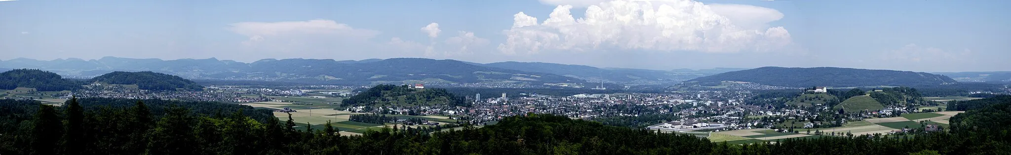
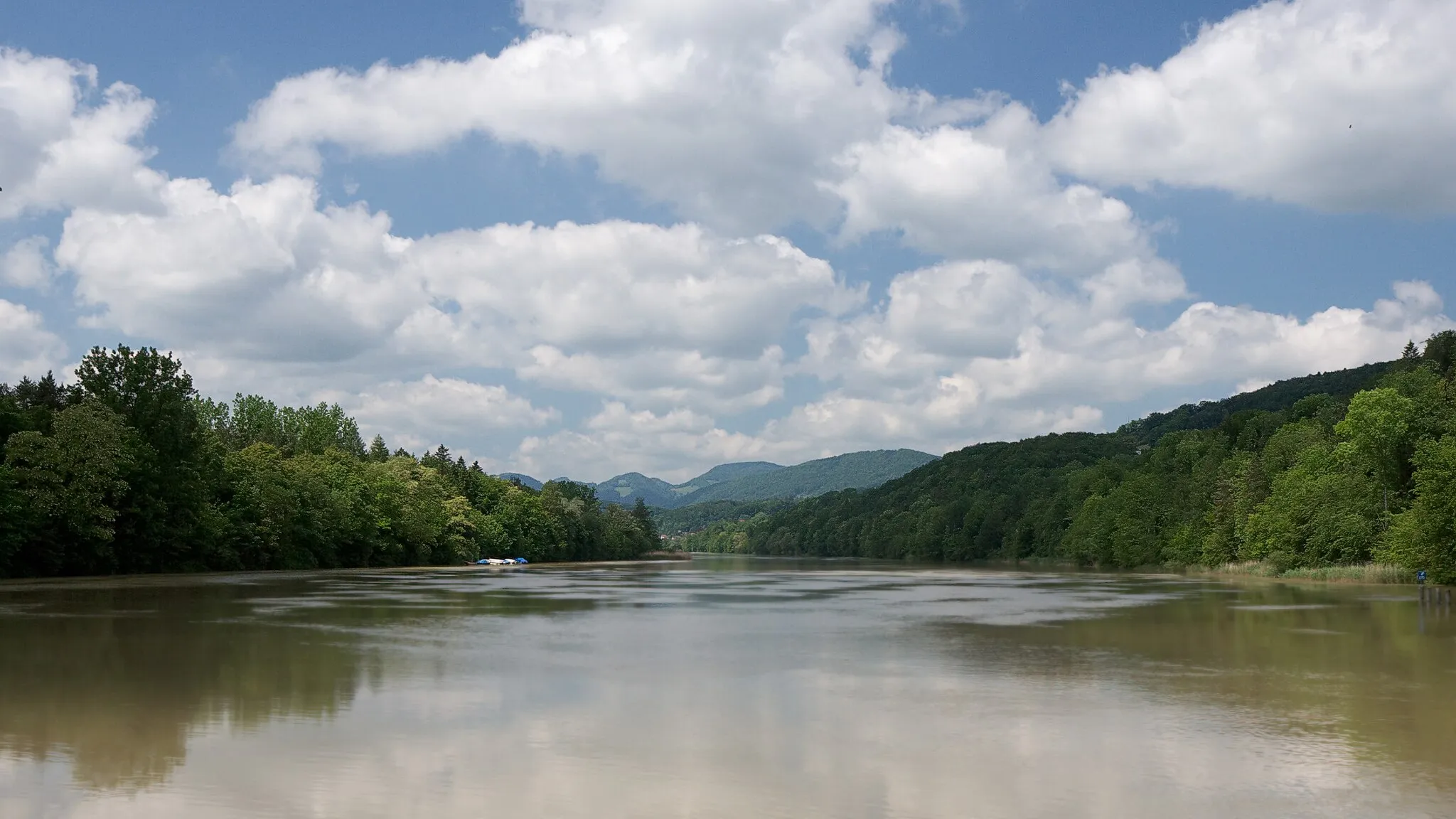
A scenic gravel route featuring picturesque landscapes and historic sites
Map
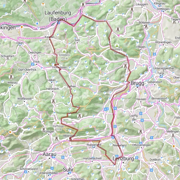
This gravel cycling route takes you on an adventure through the scenic landscapes and historic towns near Staufen. Starting at Rupperswil, you'll ride through the breathtaking Staffelegg pass, famous for its stunning views. Along the way, you'll encounter the Hans-Thoma lookout point, offering panoramic vistas, and the charming town of Laufenburg, known for its well-preserved old town and historic architecture. With an ascent of 1266 meters over a distance of 72 kilometers, this route is moderately challenging and offers a perfect balance of natural beauty and cultural heritage.
gravel
72 km
1266 m
Tough
Route profile
Highlights on the route
0 km
0 km
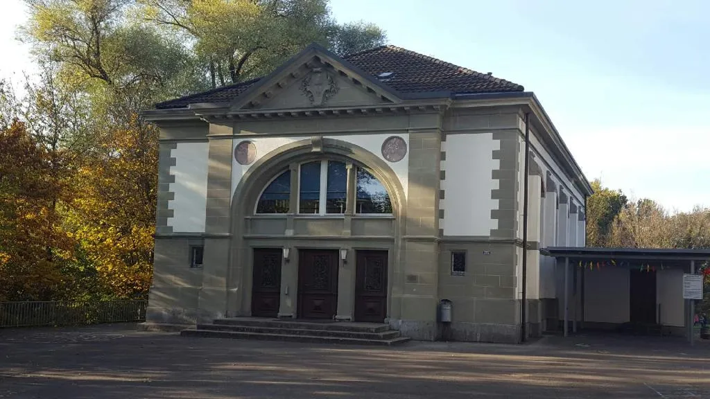
Start: Staufen Village centerStaufen: Diverse terrain with a famous challenging climb – Passwang Pass
Staufen, located in Nordwestschweiz, Switzerland, is a suitable locality for road and gravel cyclists. Its rolling terrain offers a mix of flat stretches and moderate climbs, providing a diverse cycling experience. Staufen is home to the famous Passwang Pass, a challenging climb that attracts cyclists looking for a test of endurance. Overall, Staufen is a good cycling area with opportunities for both leisurely rides and challenging climbs.4 km
4 km
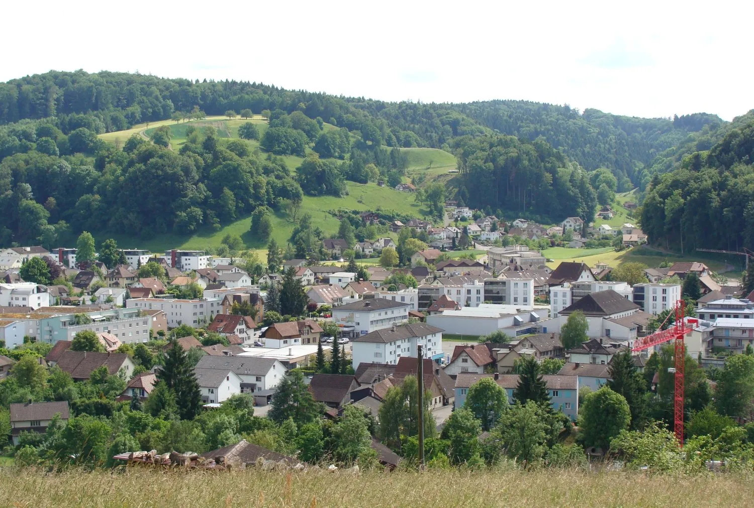
RupperswilVillageRupperswil is a charming village with picturesque streets and beautiful traditional Swiss architecture.
15 km
15 km
Staffelegg621 mMountain PassStaffelegg Pass is famous for its scenic views and challenging yet satisfying gravel cycling experience.
36 km
36 km
Hans-Thoma-BlickViewpointHans-Thoma-Blick lookout point offers stunning panoramic vistas of the surrounding landscapes.
36 km
36 km
Laufenburg (Baden)TownLaufenburg (Baden) is a historic town with a well-preserved old town and impressive architecture.
53 km
53 km
RemigenVillageRemigen is a quaint village surrounded by picturesque landscapes, perfect for a serene cycling break.
54 km
54 km
Iberg484 mCastleIberg is a quiet spot amidst nature, offering peaceful surroundings and stunning natural beauty.
70 km
70 km
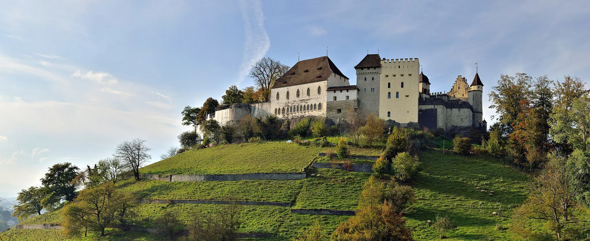
LenzburgTownLenzburg Castle is a well-preserved medieval fortress with a fascinating history.
70 km
70 km
Schlossberg508 mPeakSchlossberg offers beautiful views and is surrounded by captivating natural landscapes throughout the journey.
72 km
72 km
Finish: Staufen Village centerStaufen: Diverse terrain with a famous challenging climb – Passwang Pass
Cycling routes from Staufen:
Gravel Adventure Through Rupperswil and Laufenburg Discovering Staufberg and Heideburg Exploring the Most Challenging Roads of Nordwestschweiz Jura Hills Challenges Gravel Adventure near Staufen Scenic Gravel Ride Cycling through Eggenwil with Beautiful Villmergen Experience Bözberg Loop Niederlenz and Bruggerberg Exploration on Two Wheels Hidden Gems Gravel Loop
Cycling routes nearby: