Valley Explorer
A gravel cycling route starting from Therwil
Discover the picturesque valleys of Nordwestschweiz
Map
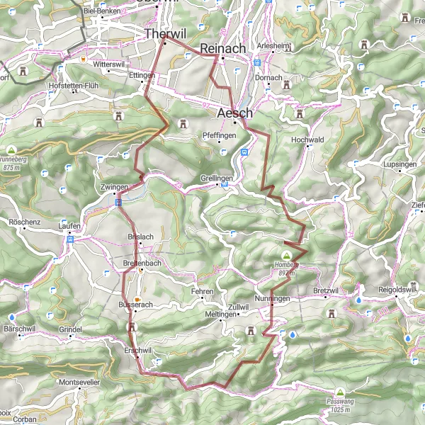
The Valley Explorer route takes you through stunning valleys in Nordwestschweiz. With a distance of 52 kilometers and an ascent of 1451 meters, this challenging gravel cycling route offers breathtaking views and unique highlights. Cyclists will pass by Aesch, Baslerholz, Nunningen, Geissflue, Hochstelleli, Zwingen, and Ettingen. The route receives a difficulty rating of 5, making it suitable for experienced riders seeking an epic challenge. Its epicness score is rated at 4, providing unforgettable scenery and iconic spots.
gravel
52 km
1451 m
Savage
Route profile
Highlights on the route
0 km
0 km
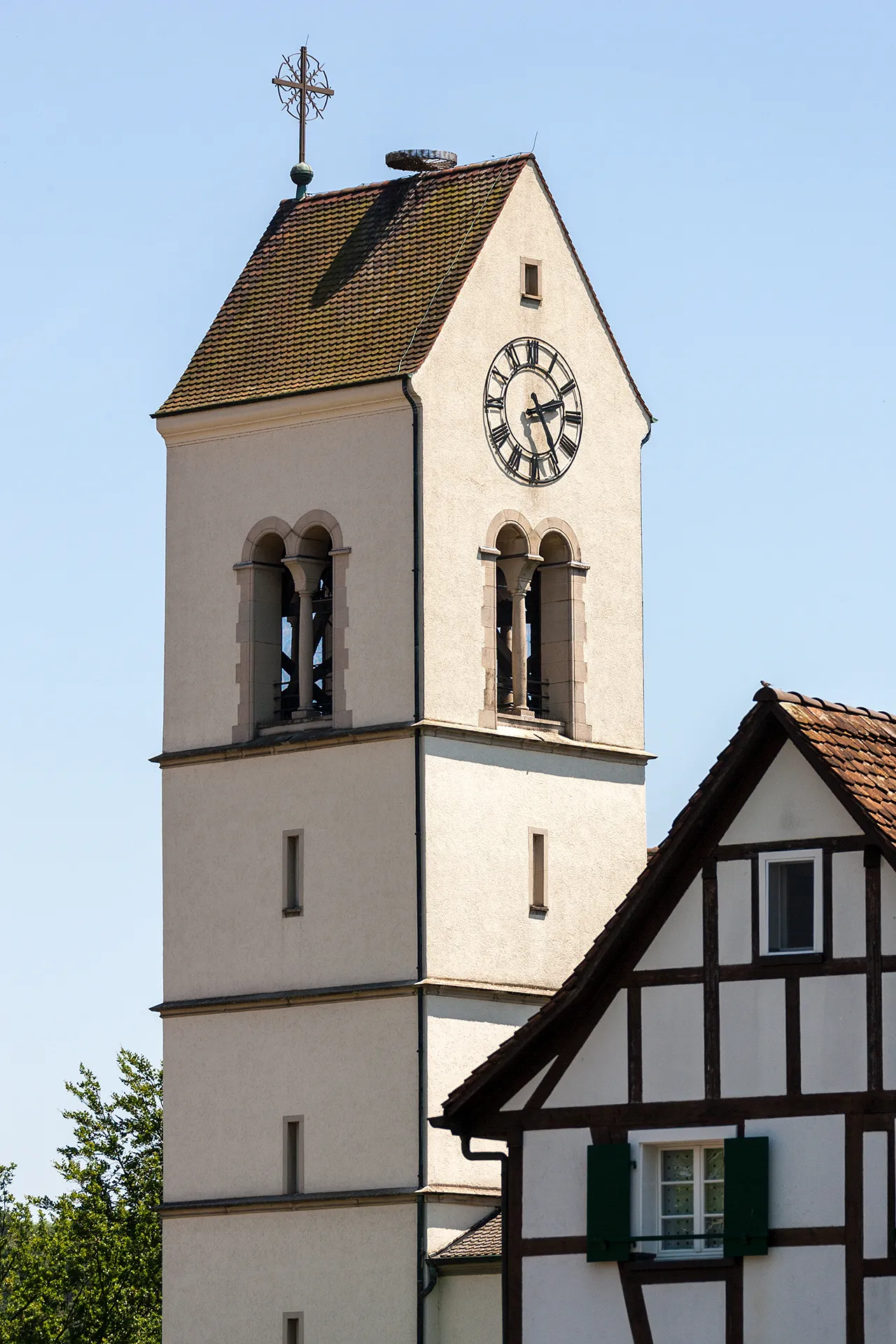
Start: Therwil City centerTherwil: Cycling Paradise with Famous Climbs in Nordwestschweiz
Therwil, located in Nordwestschweiz, Switzerland, is a cyclist's dream destination. This town offers an extensive network of well-maintained and well-marked cycling routes, catering to all levels of cyclists. From flat scenic paths along the countryside to challenging mountain ascents, Therwil has it all. Aside from its excellent cycling infrastructure, Therwil boasts nearby famous climbs such as `Passwang` and `Bire Rain`. With its cycling-friendly atmosphere and remarkable routes, Therwil is a top choice for every cyclist yearning for an unforgettable ride.6 km
6 km
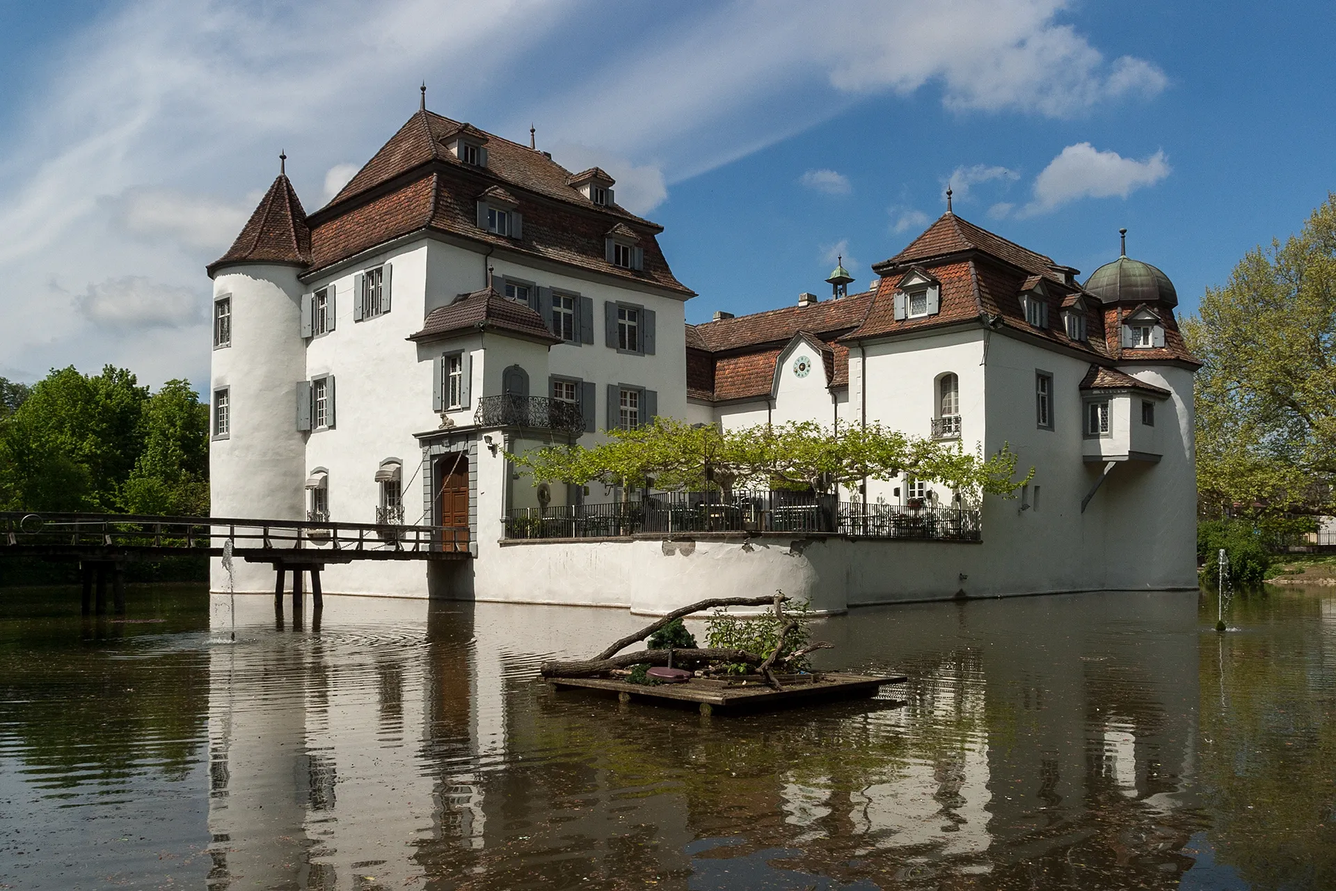
AeschTownAesch is a charming village nested between the hills and surrounded by vineyards
9 km
9 km
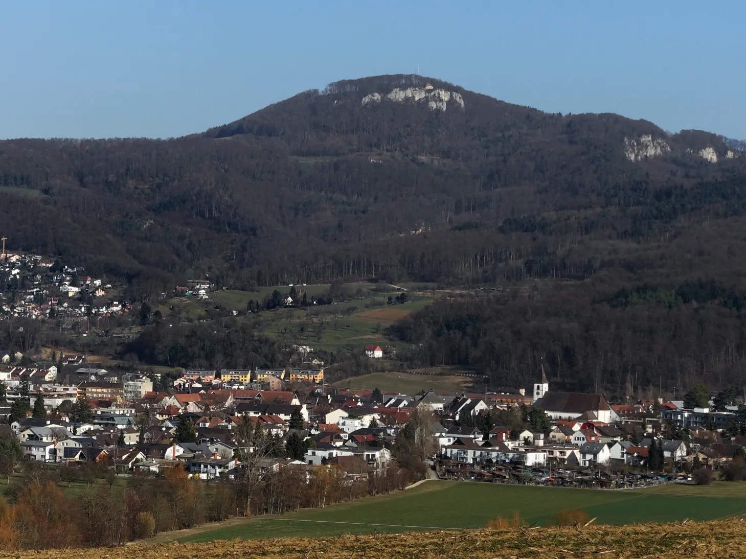
Baslerholz653 mPeakBaslerholz offers panoramic views of the surrounding valleys and forests
21 km
21 km
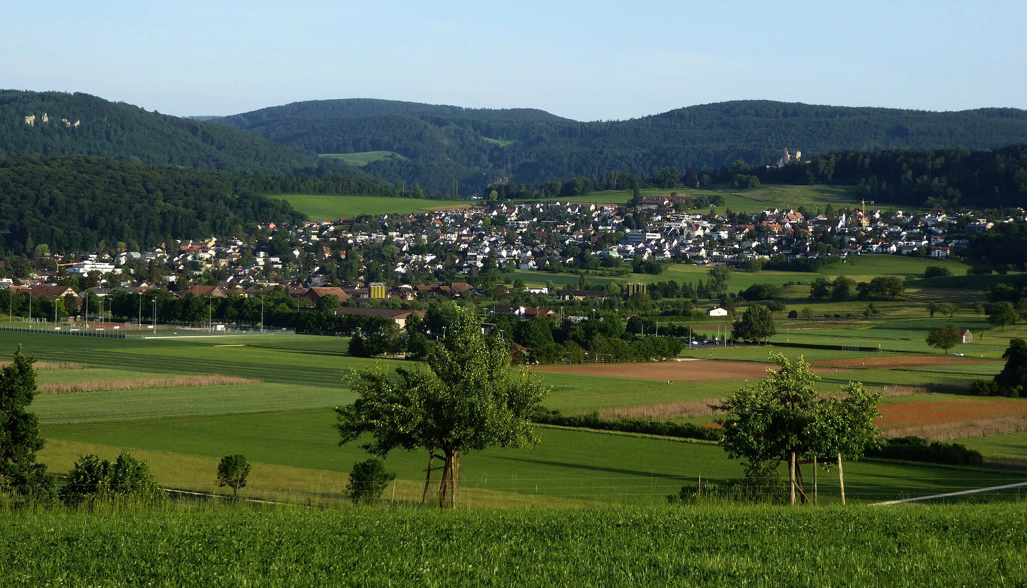
NunningenVillageNunningen is a picturesque village known for its well-preserved historic buildings
22 km
22 km
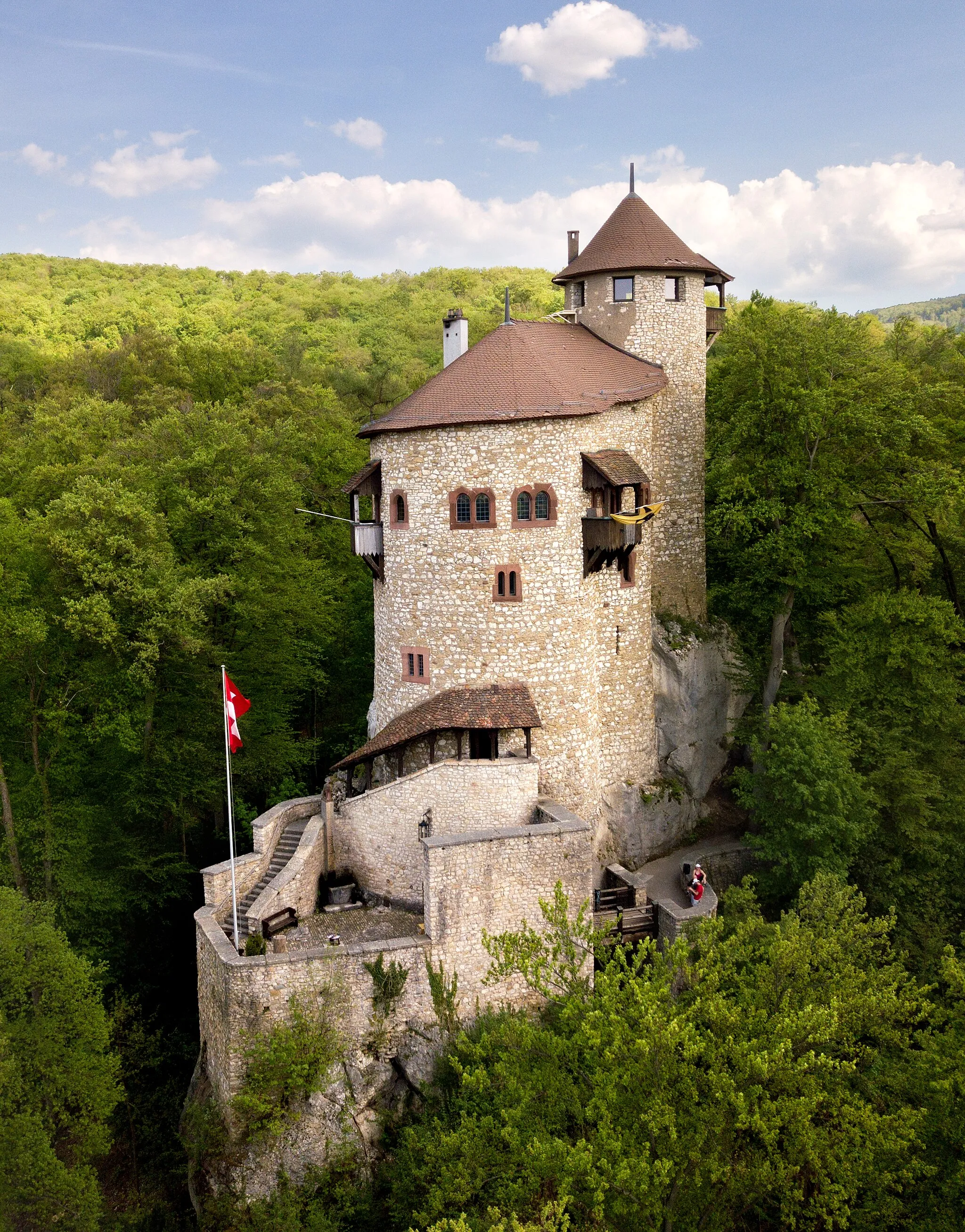
Geissflue850 mPeakGeissflue is a popular hiking spot with dramatic cliffs and views over the surrounding landscapes
31 km
31 km
Hochstelleli907 mPeakHochstelleli features lush meadows and panoramic views of the Jura Mountains
42 km
42 km
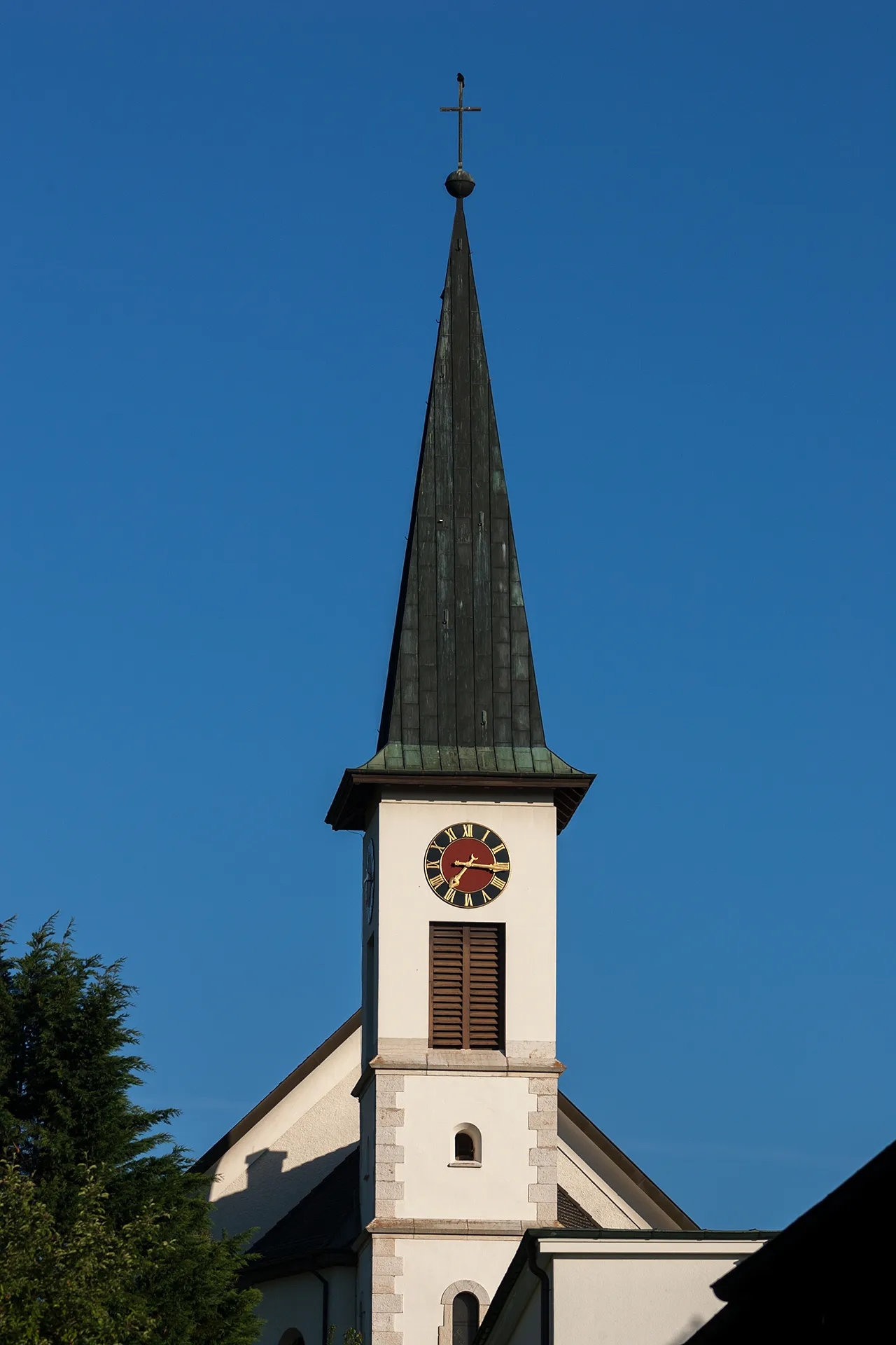
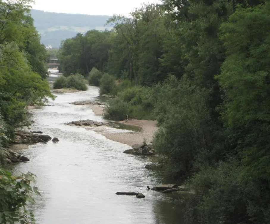
ZwingenVillageZwingen is a charming town located along the river and surrounded by rolling hills
50 km
50 km
EttingenVillageEttingen features beautiful forests and tranquil nature reserves
52 km
52 km
Finish: Therwil City centerTherwil: Cycling Paradise with Famous Climbs in Nordwestschweiz
Cycling routes from Therwil:
Cycling routes nearby: