Unterkulm Countryside Exploration
A road cycling route starting from Unterkulm
A leisurely road cycling route through scenic countryside
Map
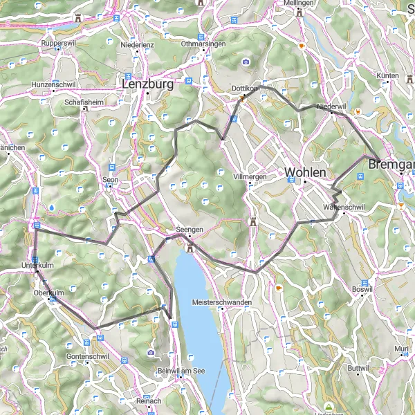
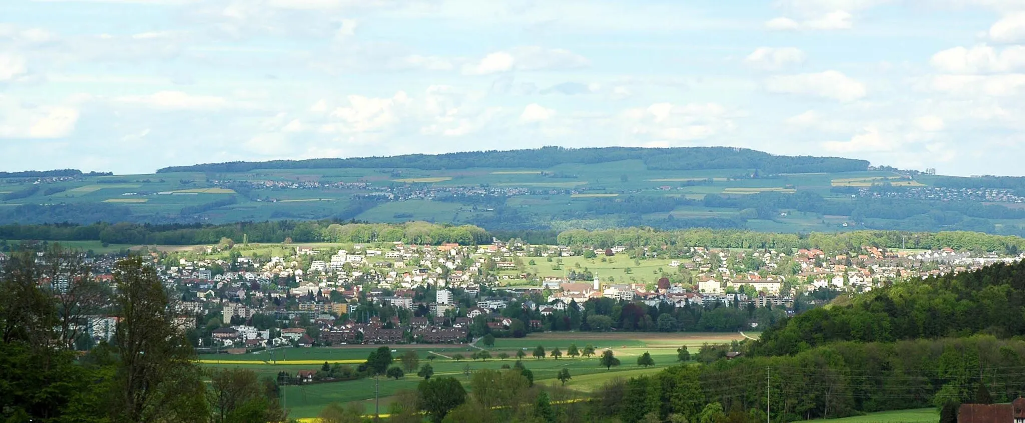
Enjoy a leisurely ride through the scenic countryside of Northwest Switzerland on this 55 km road cycling route starting near Unterkulm. With 914 meters of ascent, this route is suitable for riders of all levels, offering a mix of idyllic landscapes and cultural highlights. Highlights along the way include Ammerswil at 13 km, Dreihägen at 21 km, Fischbach-Göslikon at 24 km, the Foto-Spot Schloss Hallwyl at 42 km, Boniswil at 43 km, and Zetzwil at 51 km. The breathtaking views, charming villages, and scenic routes make this ride a delightful experience for cycling enthusiasts.
road
55 km
914 m
Chill
Route profile
Highlights on the route
0 km
0 km
Start: Unterkulm Village centerUnterkulm: Discover the Cycling Delights of Unterkulm
Unterkulm, a locality in Switzerland's Nordwestschweiz region, provides excellent opportunities for road and gravel cycling. The region is known for its well-maintained cycling routes and beautiful scenery. Cyclists can explore the rolling hills and lush green landscapes while enjoying the peaceful surroundings. Additionally, the nearby Läufelfinger Viaduct is a popular cycling landmark offering stunning views and a thrilling cycling experience. Undoubtedly, Unterkulm is a cyclist's paradise.13 km
13 km
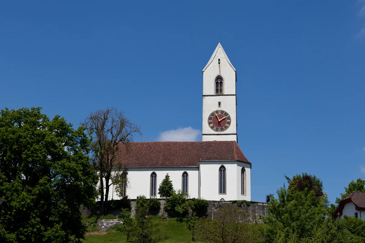
AmmerswilVillageAmmerswil: Experience the tranquility of Ammerswil and enjoy the picturesque landscape at the 13 km mark.
21 km
21 km
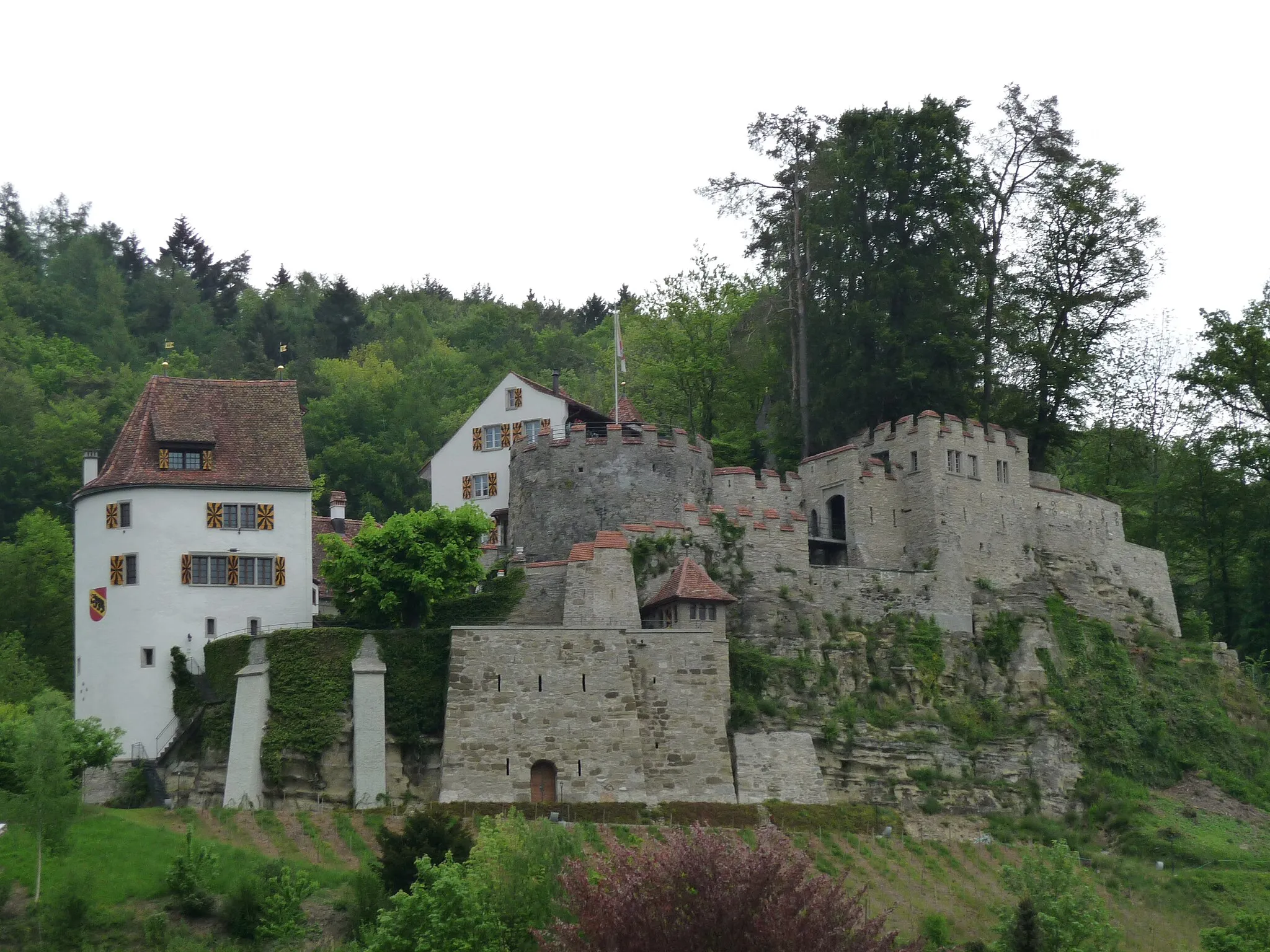
Dreihägen549 mPeakDreihägen: At 21 km, riders can enjoy the serene atmosphere of this rural village and take in the beauty of the surrounding meadows and forests.
24 km
24 km
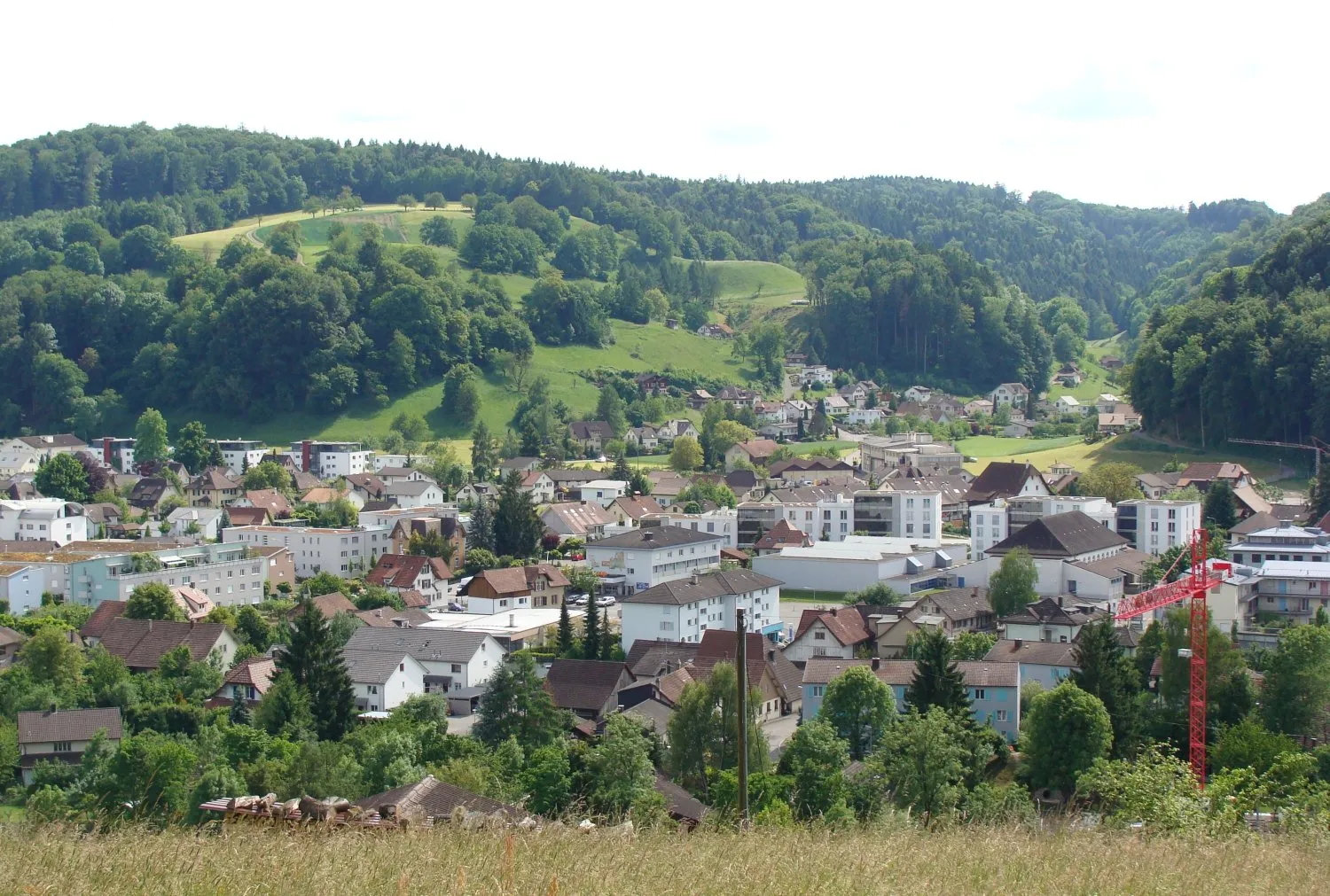
Fischbach-GöslikonVillageFischbach-Göslikon: This small town at 24 km boasts charming Swiss architecture and offers riders a chance to explore its cultural heritage.
42 km
42 km
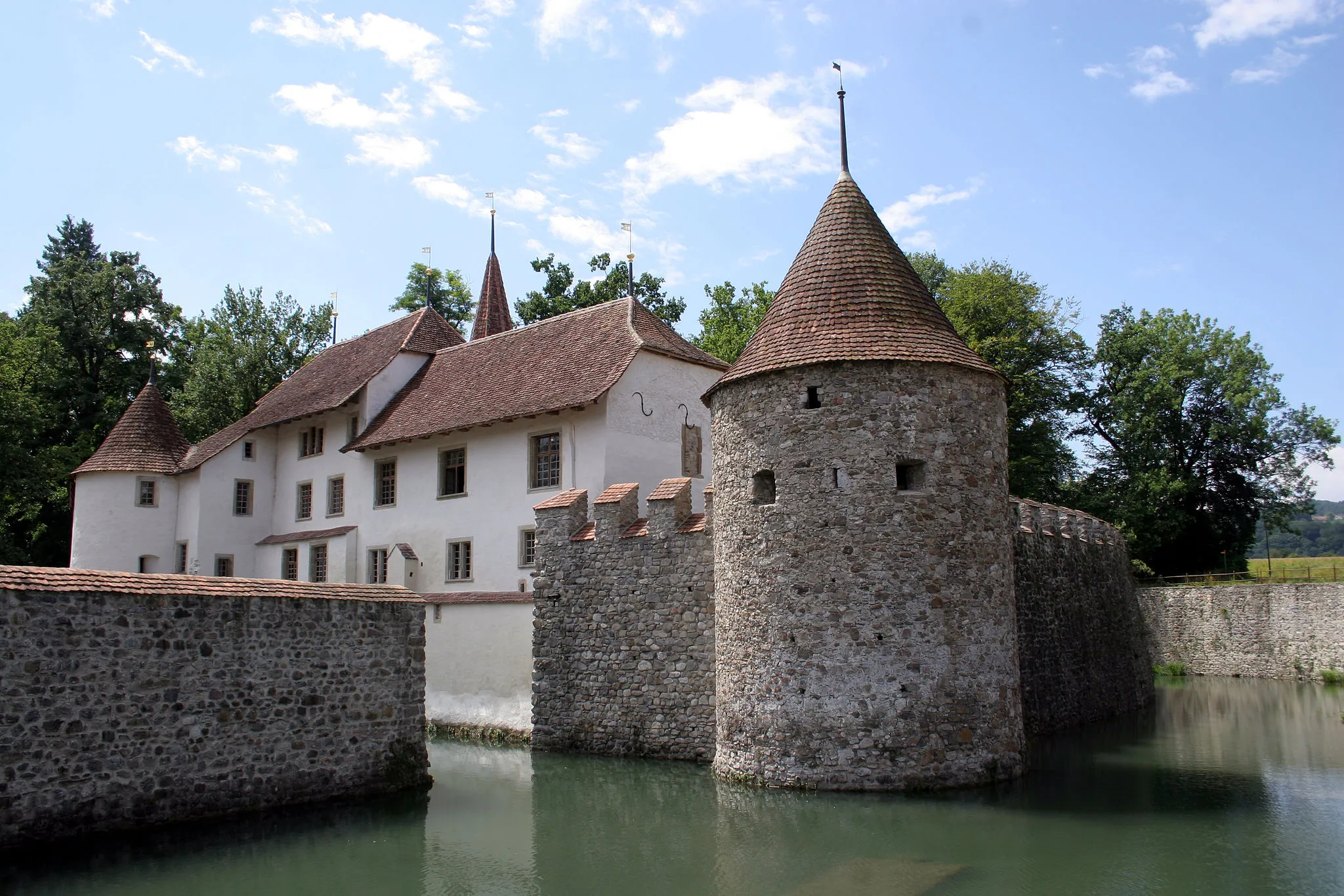
Foto-Spot Schloss HallwylViewpointSchloss Hallwyl Foto-Spot: Located at 42 km, cyclists can snap memorable photos of the well-preserved castle and its scenic surroundings.
43 km
43 km
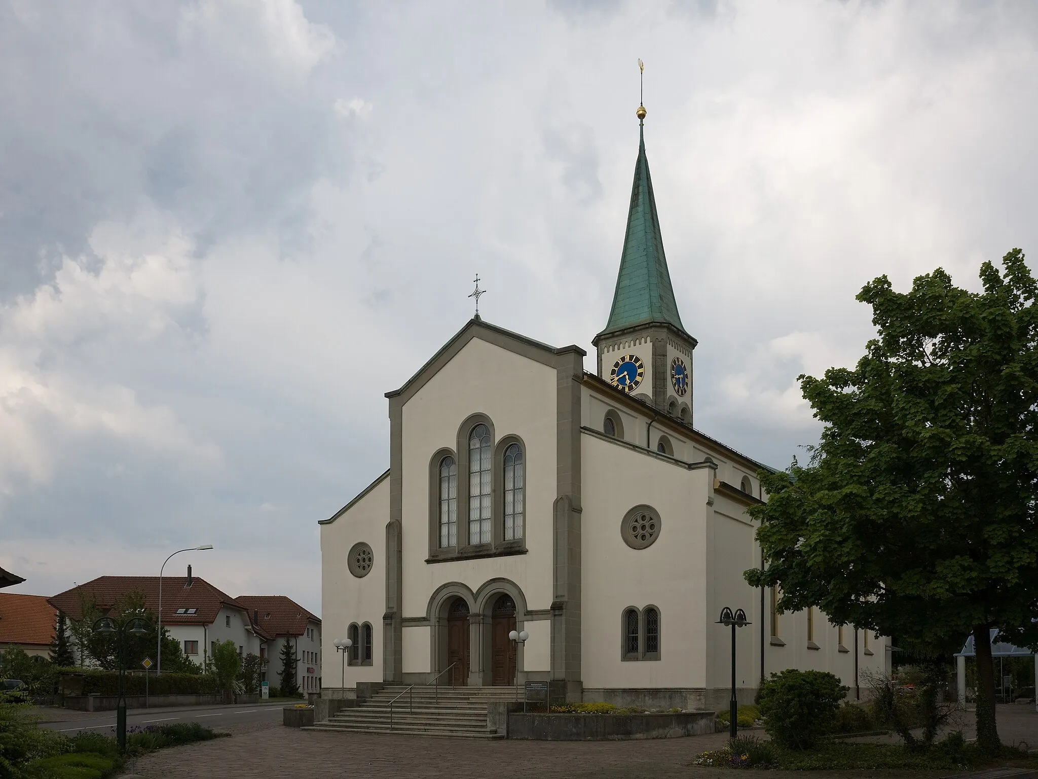
BoniswilVillageBoniswil: At 43 km, riders will pass through Boniswil and appreciate its quaint streets, traditional houses, and lovely gardens.
51 km
51 km
ZetzwilVillageZetzwil: This picturesque village at 51 km is known for its enchanting landscapes and well-preserved timber-framed houses.
55 km
55 km
Finish: Unterkulm Village centerUnterkulm: Discover the Cycling Delights of Unterkulm
Cycling routes from Unterkulm:
Cycling routes nearby: