Cycling Paradise in Nordwestschweiz
Cycling routes from Wurenlingen
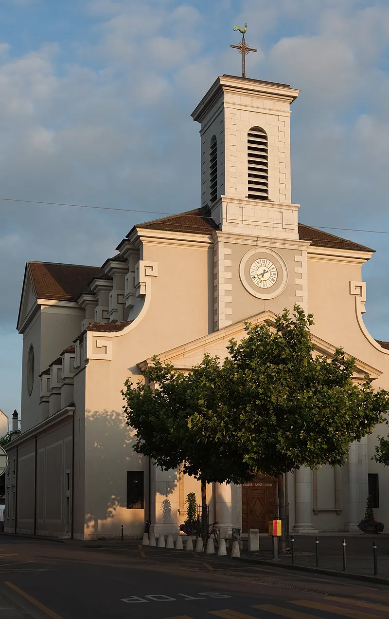
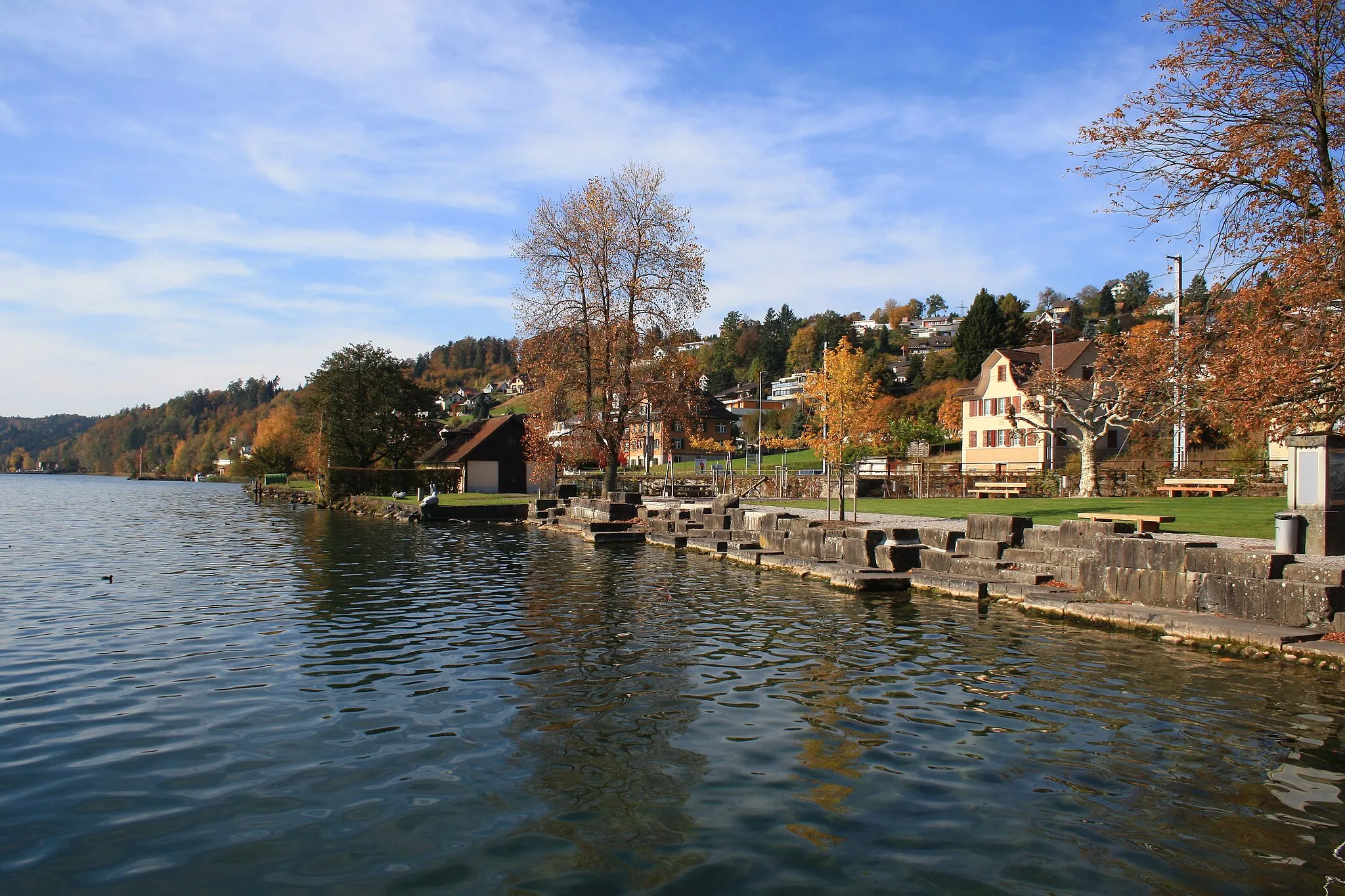
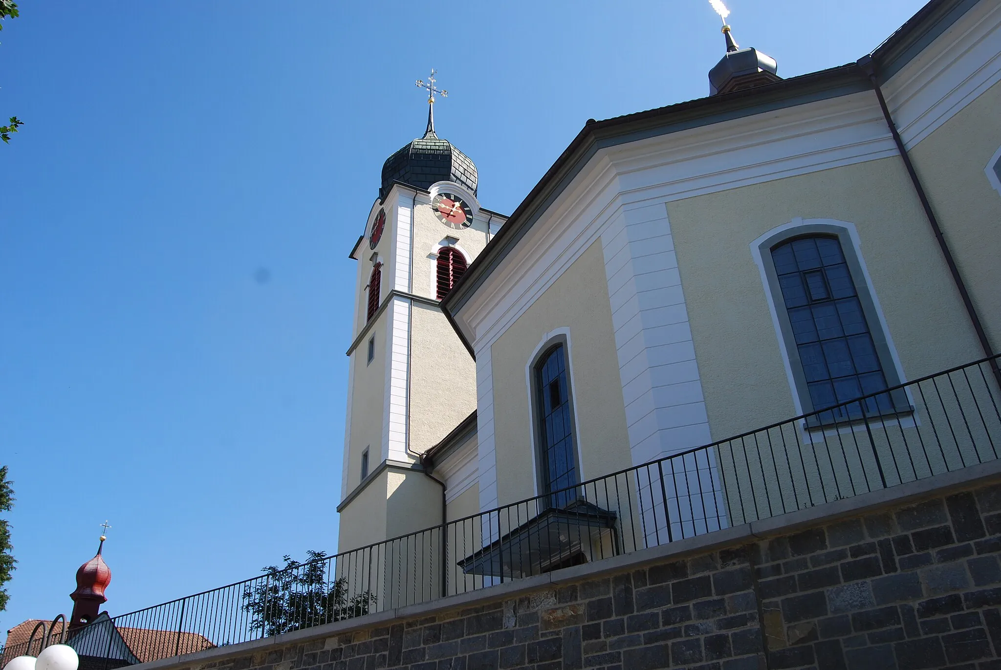
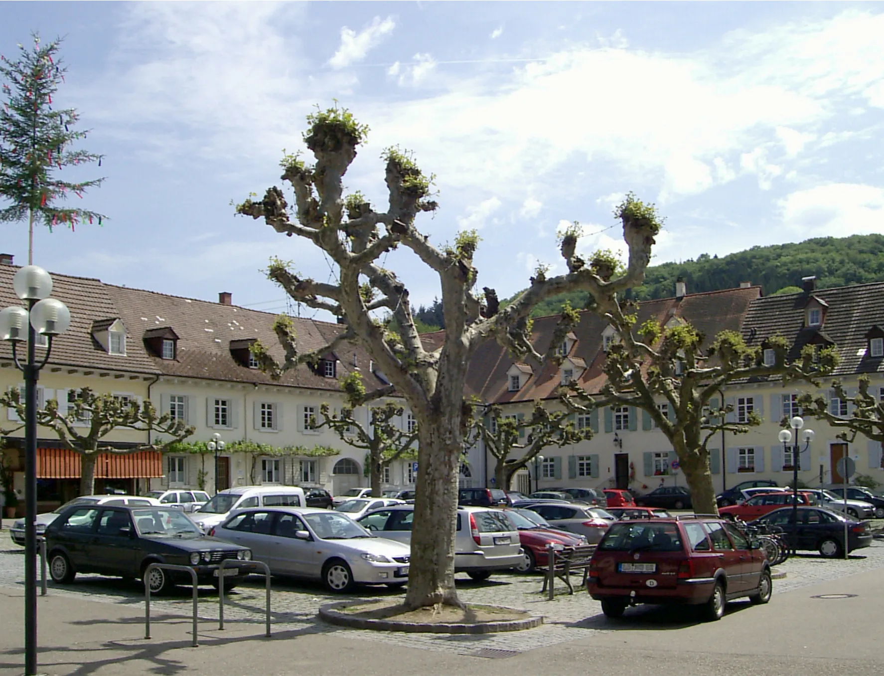
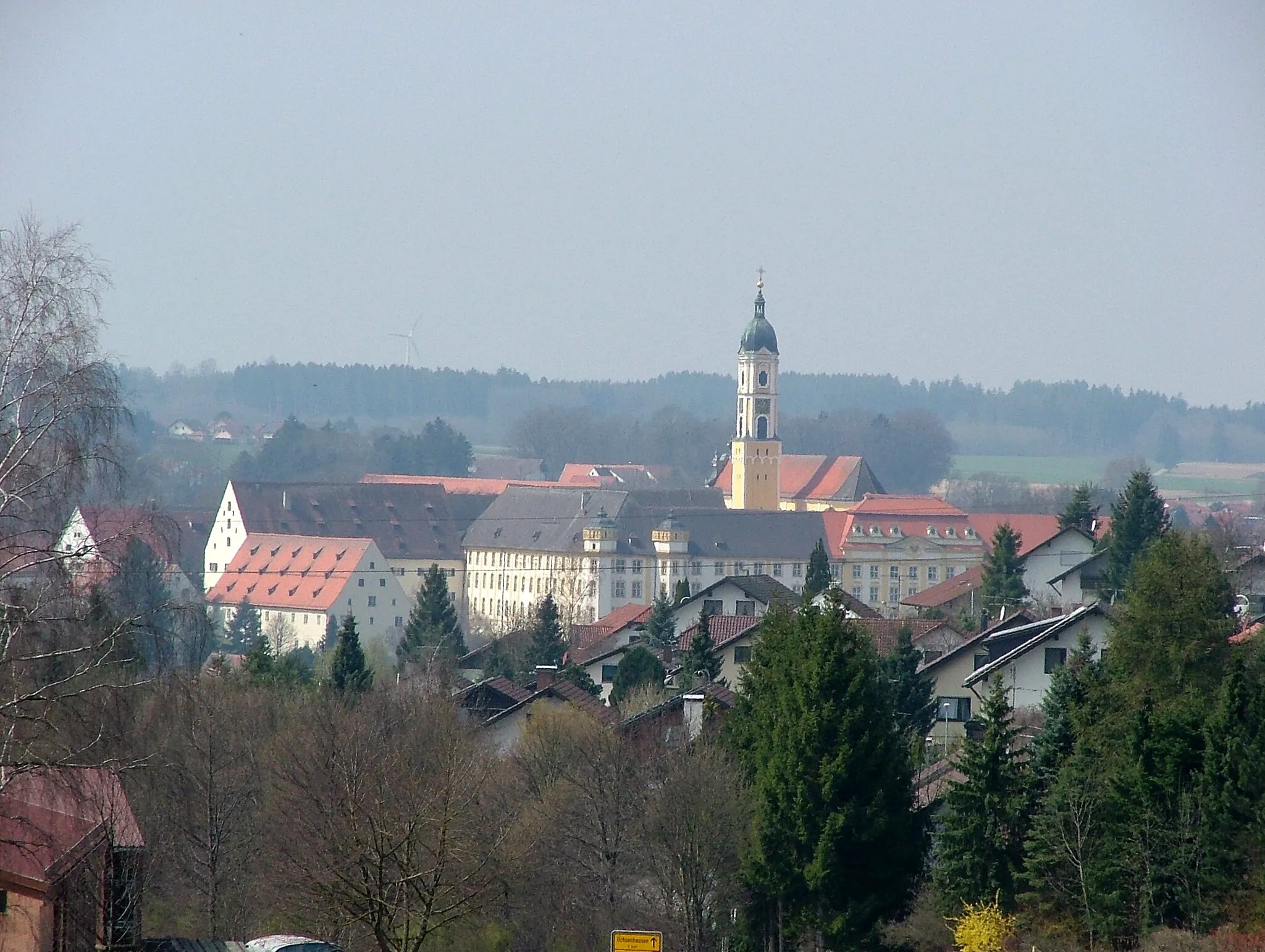
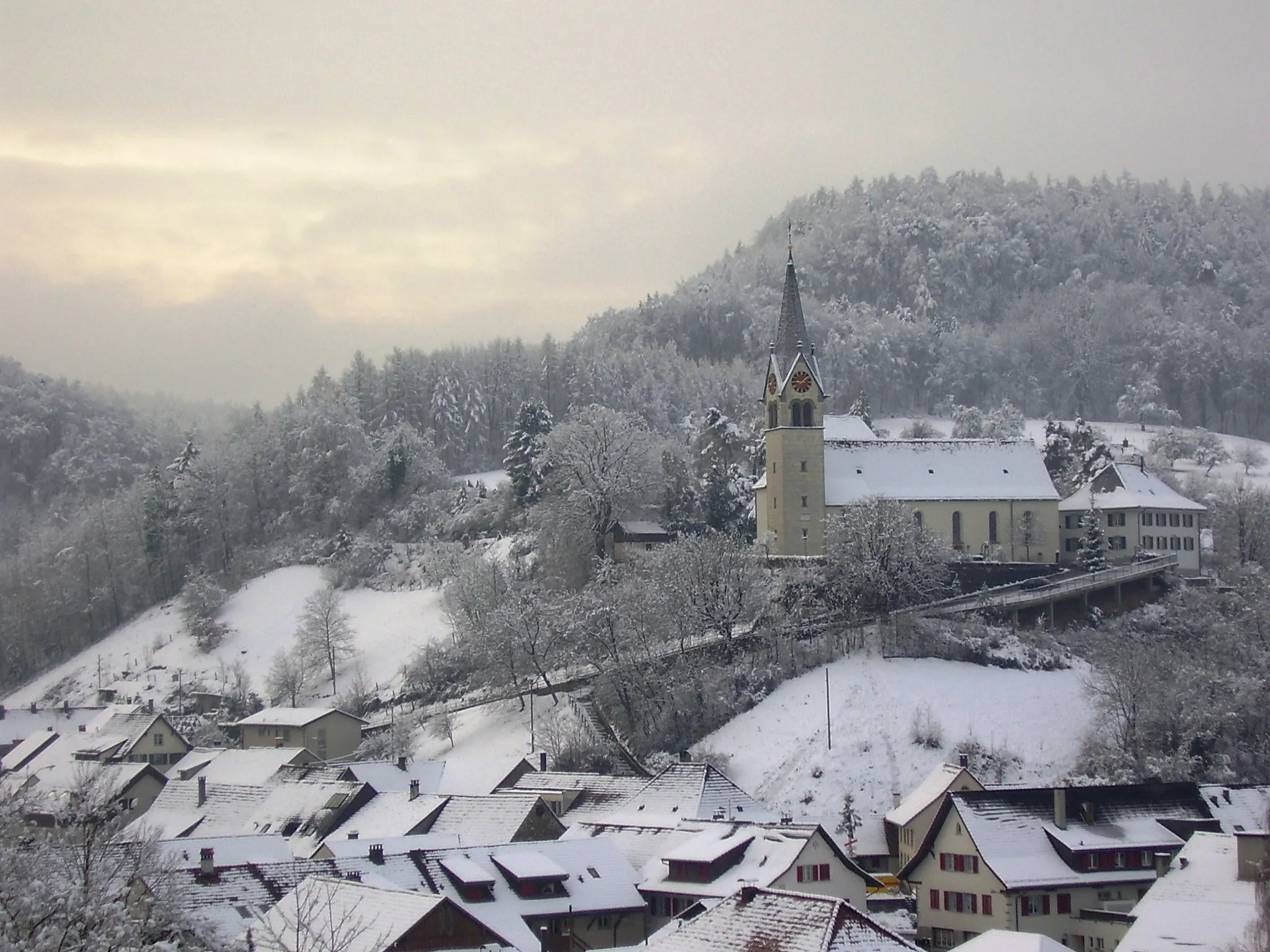
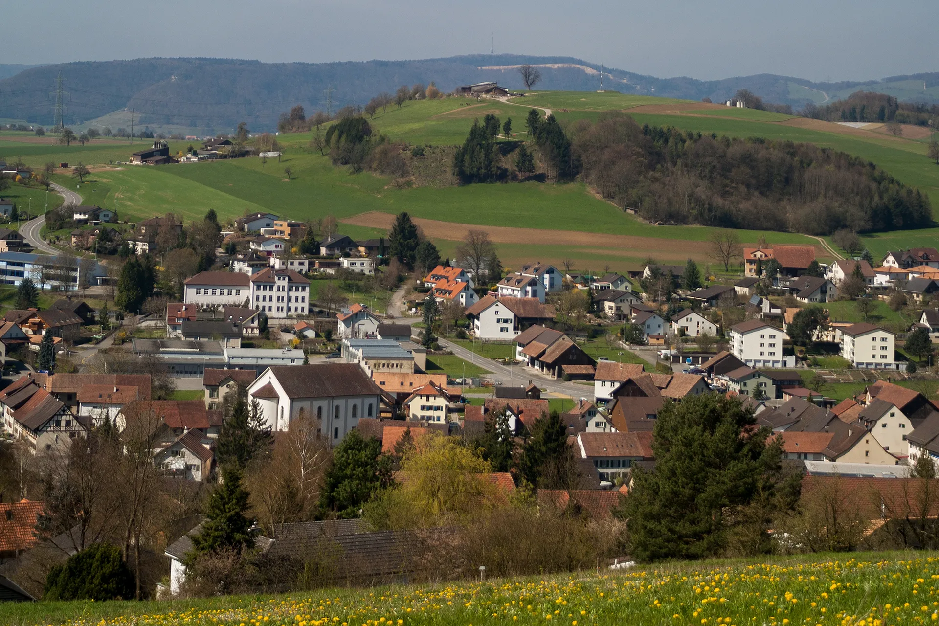
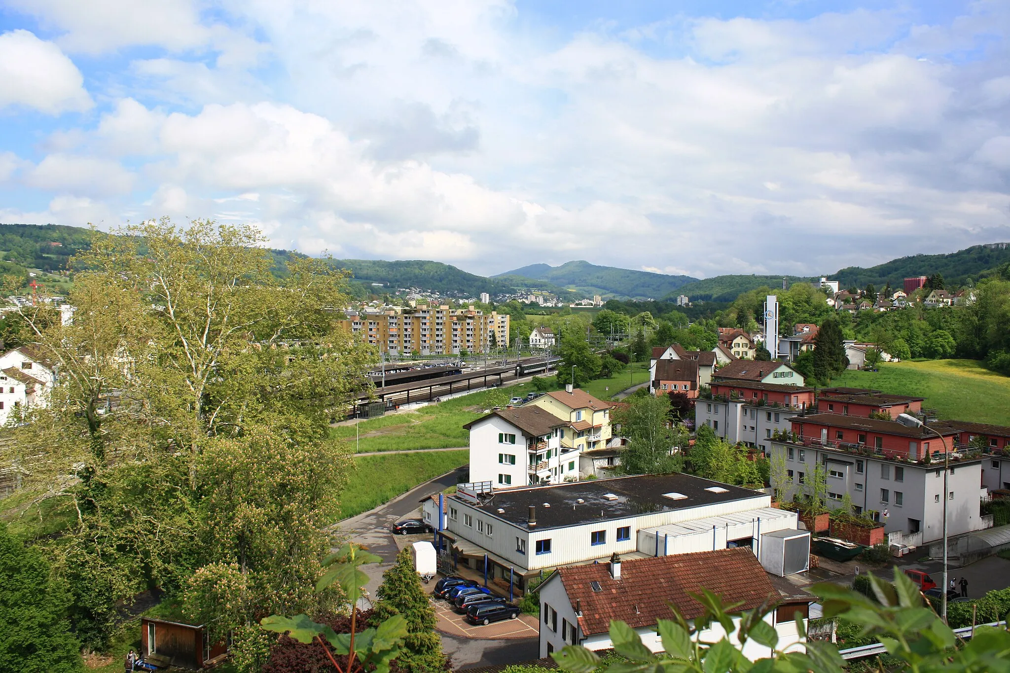
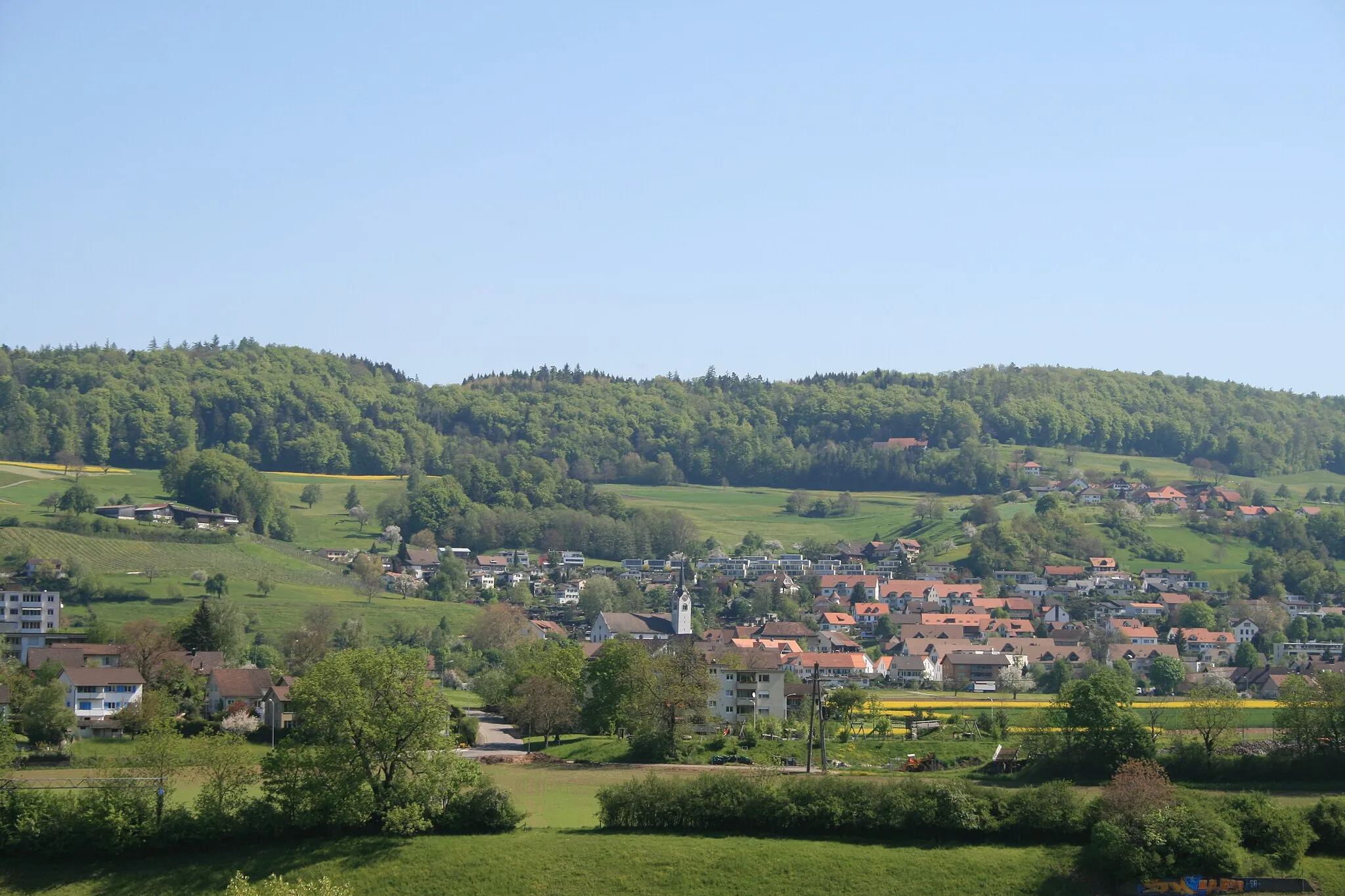
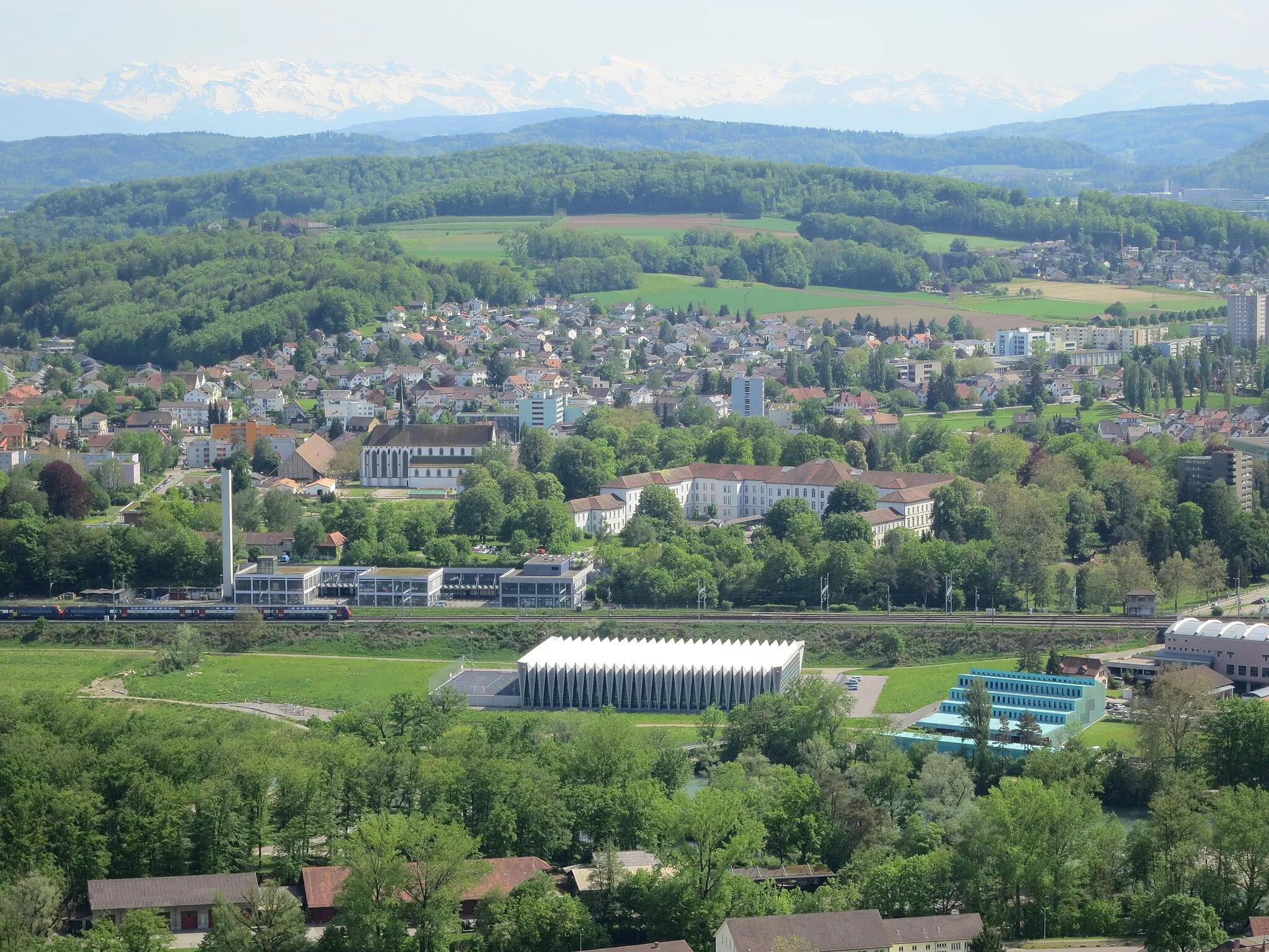
Würenlingen is a locality in Nordwestschweiz, Switzerland. It offers a variety of cycling routes suitable for both road and gravel cyclists. The roads are well-maintained and provide a smooth ride. The surrounding countryside is scenic with rolling hills and picturesque landscapes. One famous cycling spot nearby is the Weissenstein Pass, known for its challenging climb and stunning views at the top. Overall, Würenlingen is a great destination for cyclists of all levels.
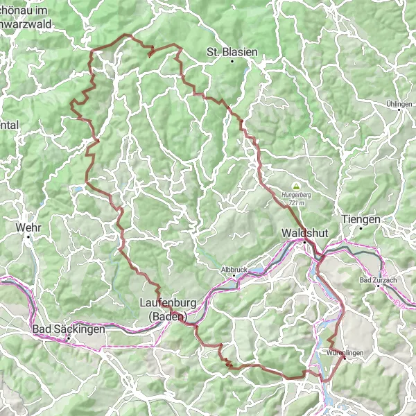
Embark on an adventurous road cycling journey through Wasserscheide
Unleash your road cycling potential with the Wasserscheide Loop, a challenging route that takes you through the breathtaking landscapes surrounding Wasserscheide. With an ascent of 1149m and a distance of 72km, this route is designed for experienced road cyclists seeking thrill and adventure. Hammer your way up challenging climbs and revel in the exhilarating descents as you navigate through this picturesque region. The Wasserscheide Loop promises panoramic vistas and a true test of skill and stamina.
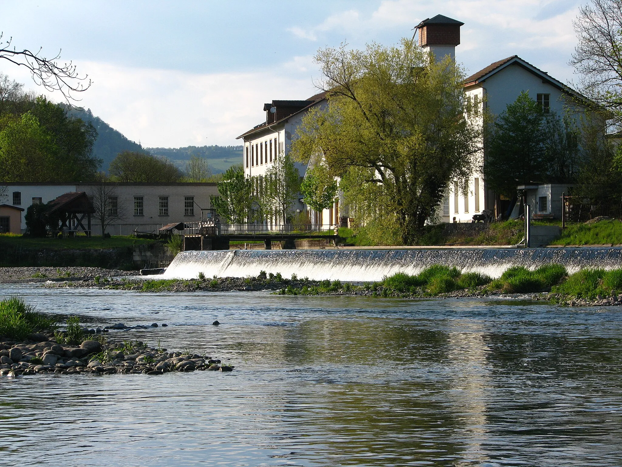
Fischerhaus Experience
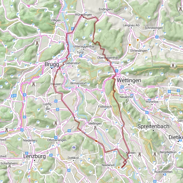
Gravel route featuring historical highlights
Discover the history and natural beauty of Nordwestschweiz with this gravel cycling route near Würenlingen. With a total ascent of 1134m and a distance of 66km, it offers a moderate challenge suitable for intermediate cyclists. Along the way, you'll encounter fascinating historical highlights, complemented by breathtaking scenery.
Gravel route with stunning mountain views
Prepare for an epic gravel challenge through the majestic mountains and valleys near Würenlingen. This route covers a distance of 107km and presents a significant ascent of 2616m, making it suitable for experienced and well-prepared cyclists seeking an intense adventure. Admire the rugged beauty of the Swiss Alps, discover hidden gems along the way, and test your limits.
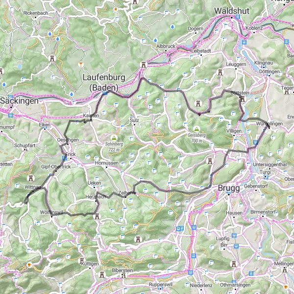
Explore the scenic countryside on this road cycling route near Würenlingen
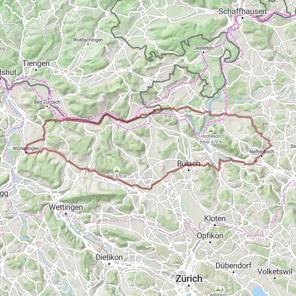
Embark on a challenging road cycling adventure near Würenlingen, Switzerland. This 68-kilometer route takes you through picturesque landscapes and quaint villages, offering stunning views and a taste of Swiss charm. With a total ascent of 917 meters, this route is suitable for very well-trained amateur cyclists.
Road cycling with historical highlights
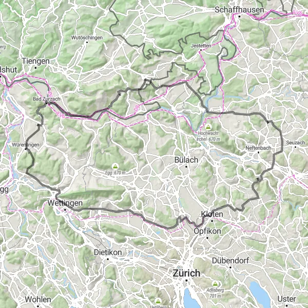
Prepare yourself for a scenic road cycling adventure near Würenlingen. This route includes a total ascent of 1459m and covers a distance of 109km. The challenging terrain and historical highlights make it an exceptional choice for experienced cyclists.
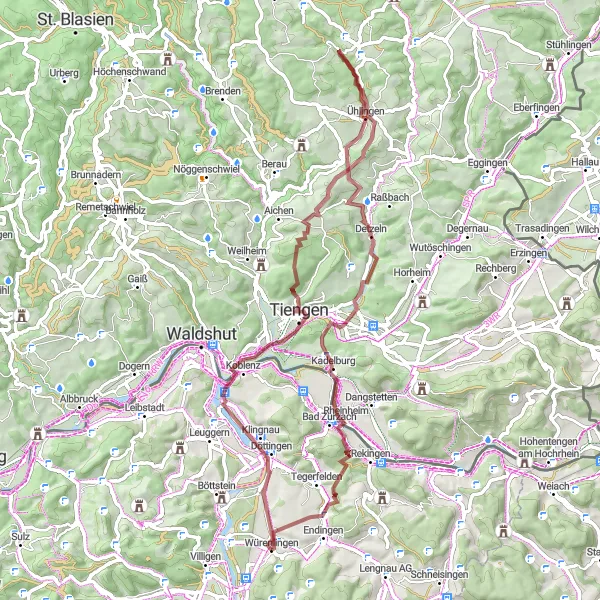
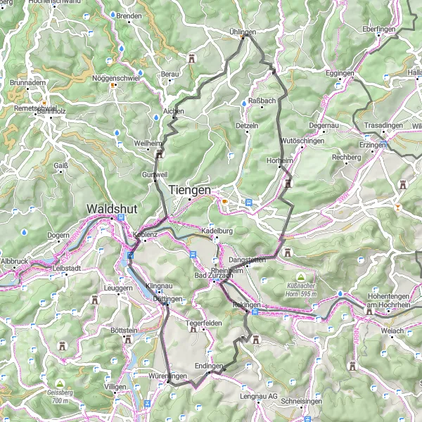
Embark on a gravel adventure through Leibstadt
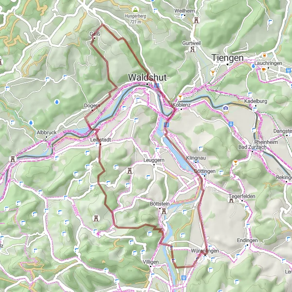
The Leibstadt Gravel Adventure takes you on an exciting gravel journey through the scenic landscapes surrounding Leibstadt. With an ascent of 840m and a distance of 42km, this route is suitable for gravel enthusiasts seeking a moderate challenge. Explore the beauty of Nordwestschweiz as you cycle through picturesque paths and enjoy the tranquility of the countryside. The Leibstadt Gravel Adventure reveals hidden treasures and provides an enriching experience for cyclists seeking a unique adventure.
Embark on a road cycling adventure through Staffelegg
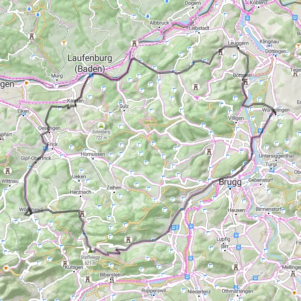
The Staffelegg Explorer offers road cyclists the opportunity to embark on a challenging and spectacular adventure around Staffelegg. With an ascent of 1111m and a distance of 71km, this route pushes the limits and rewards cyclists with breathtaking views. Immerse yourself in the incredible landscapes as you tackle winding mountain roads and test your stamina. The Staffelegg Explorer promises an unforgettable experience for those seeking a thrilling road cycling adventure.
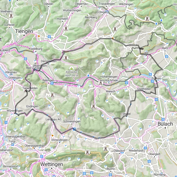
Unterendingen Loop
Discover the scenic route around Unterendingen
This gravel cycling route takes you on a scenic journey around Unterendingen. With an ascent of 970m and a distance of 85km, this route provides a challenging and rewarding ride for well-trained gravel cyclists. Experience the picturesque landscapes and charming villages as you make your way through the route. The Unterendingen Loop offers a unique and distinctive cycling experience in the heart of Nordwestschweiz.
Gravel cycling through the beauty of Würenlingen
Embark on a scenic gravel cycling adventure that showcases the captivating beauty of Würenlingen. This route covers a total distance of 50km and boasts a moderate ascent of 798m, making it suitable for recreational cyclists. Get ready to explore charming villages, scenic landscapes, and appreciate the architectural gems that characterize the region.
Embark on a scenic road adventure near Würenlingen
Experience the thrill of a road cycling adventure with this picturesque route near Würenlingen. With an ascent of 1073m and a distance of 62km, this route offers a challenging ride for experienced road cyclists. Be captivated by the stunning landscapes and enjoy the peaceful serenity as you pedal through this enchanting region. The Scenic Road Adventure showcases the natural beauty and cultural gems of Nordwestschweiz.
Cycling routes nearby:


Nearby regions: