Würenlingen Adventure
A gravel cycling route starting from Wurenlingen
Gravel cycling through the beauty of Würenlingen
Map
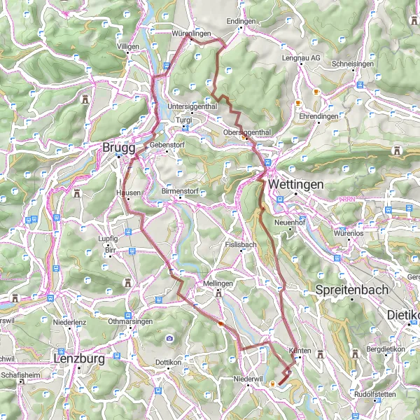
Embark on a scenic gravel cycling adventure that showcases the captivating beauty of Würenlingen. This route covers a total distance of 50km and boasts a moderate ascent of 798m, making it suitable for recreational cyclists. Get ready to explore charming villages, scenic landscapes, and appreciate the architectural gems that characterize the region.
gravel
50 km
798 m
Chill
Route profile
Highlights on the route
0 km
0 km
Start: Würenlingen Village centerWürenlingen: Cycling Paradise in Nordwestschweiz
Würenlingen is a locality in Nordwestschweiz, Switzerland. It offers a variety of cycling routes suitable for both road and gravel cyclists. The roads are well-maintained and provide a smooth ride. The surrounding countryside is scenic with rolling hills and picturesque landscapes. One famous cycling spot nearby is the Weissenstein Pass, known for its challenging climb and stunning views at the top. Overall, Würenlingen is a great destination for cyclists of all levels.0 km
0 km
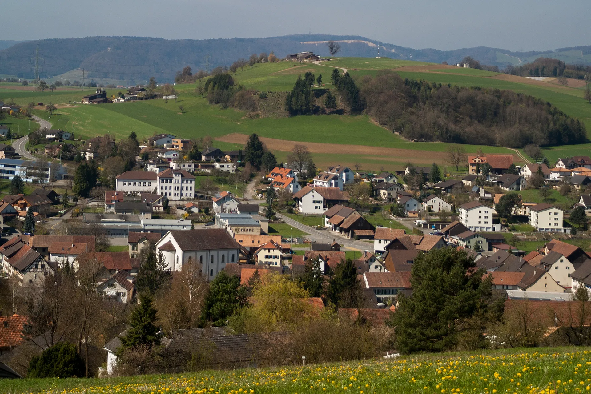
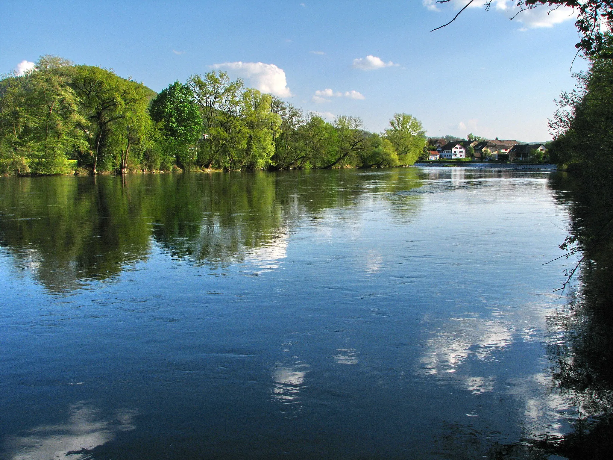
WürenlingenVillageWürenlingen, the starting point of the route, captivates with its charming blend of traditional and modern architecture, showcasing the spirit of the local community.
12 km
12 km
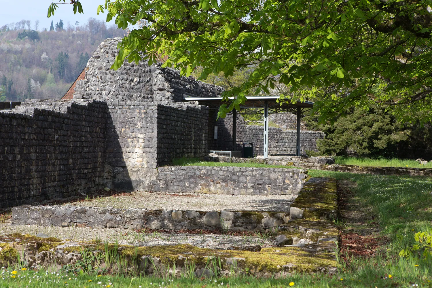
ChrüzlibergViewpointChrüzliberg is a picturesque hilltop where you can enjoy panoramic views of the surrounding countryside and revel in the magnificent natural beauty.
32 km
32 km
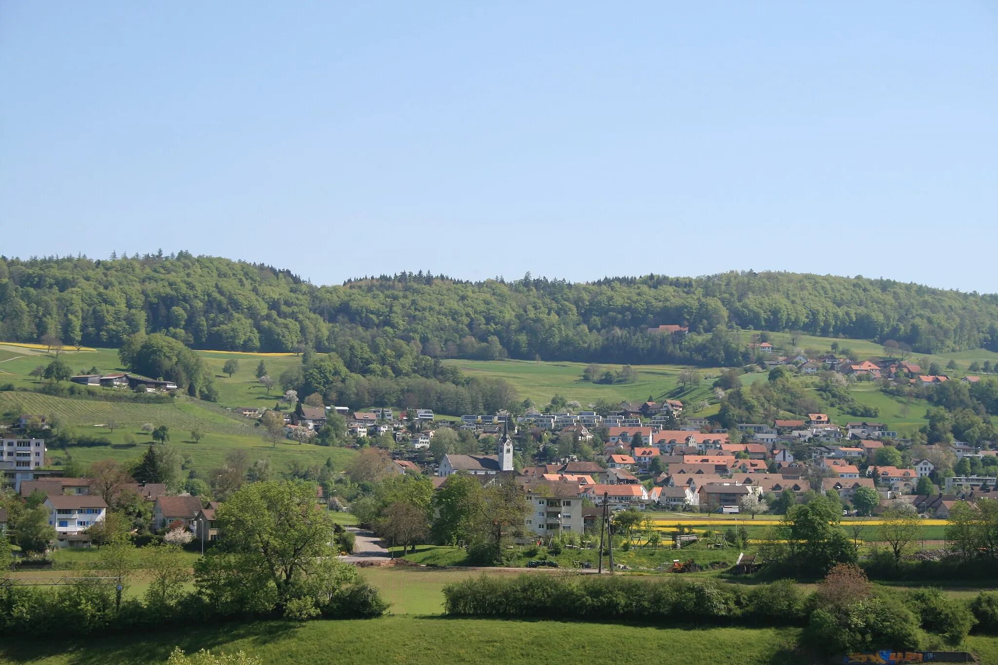
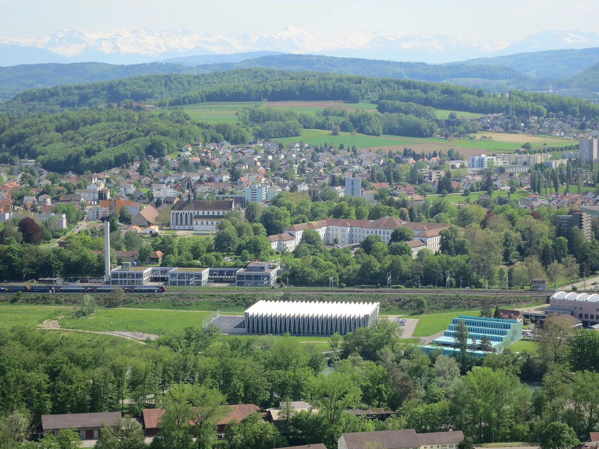
WohlenschwilVillageWohlenschwil is a small town with an impressive church that serves as a picturesque spot to take a break and appreciate the regional heritage.
38 km
38 km
Eiteberg500 mPeak ViewpointEiteberg, a quaint village with well-maintained trails, offers cyclists the opportunity to immerse themselves in the peaceful ambiance of the Swiss countryside.
46 km
46 km
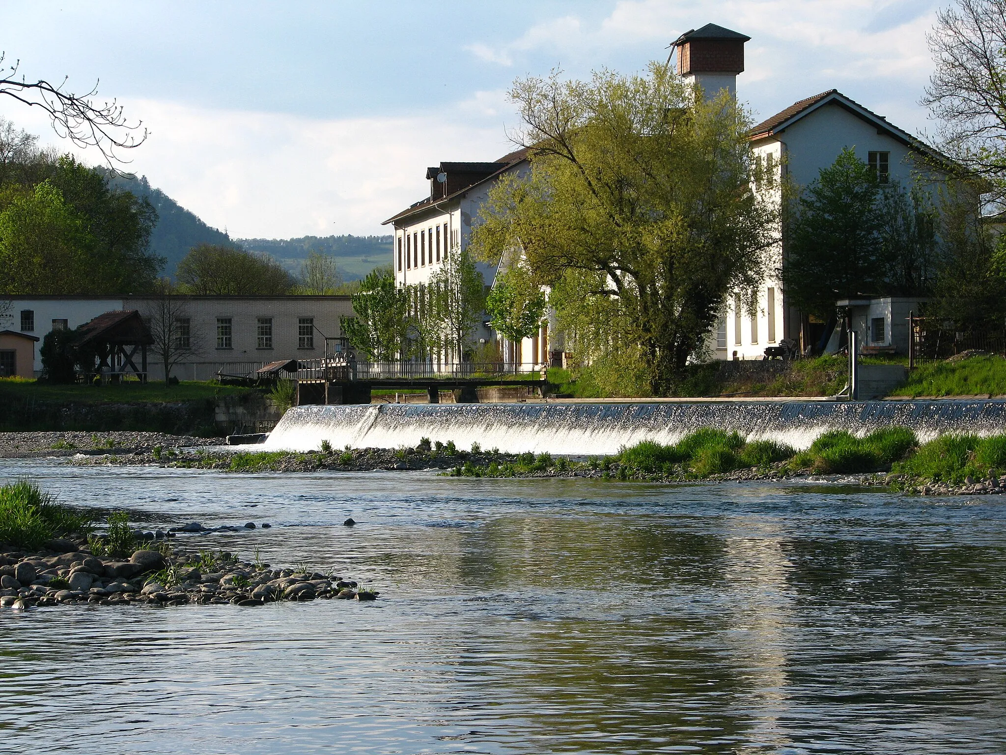
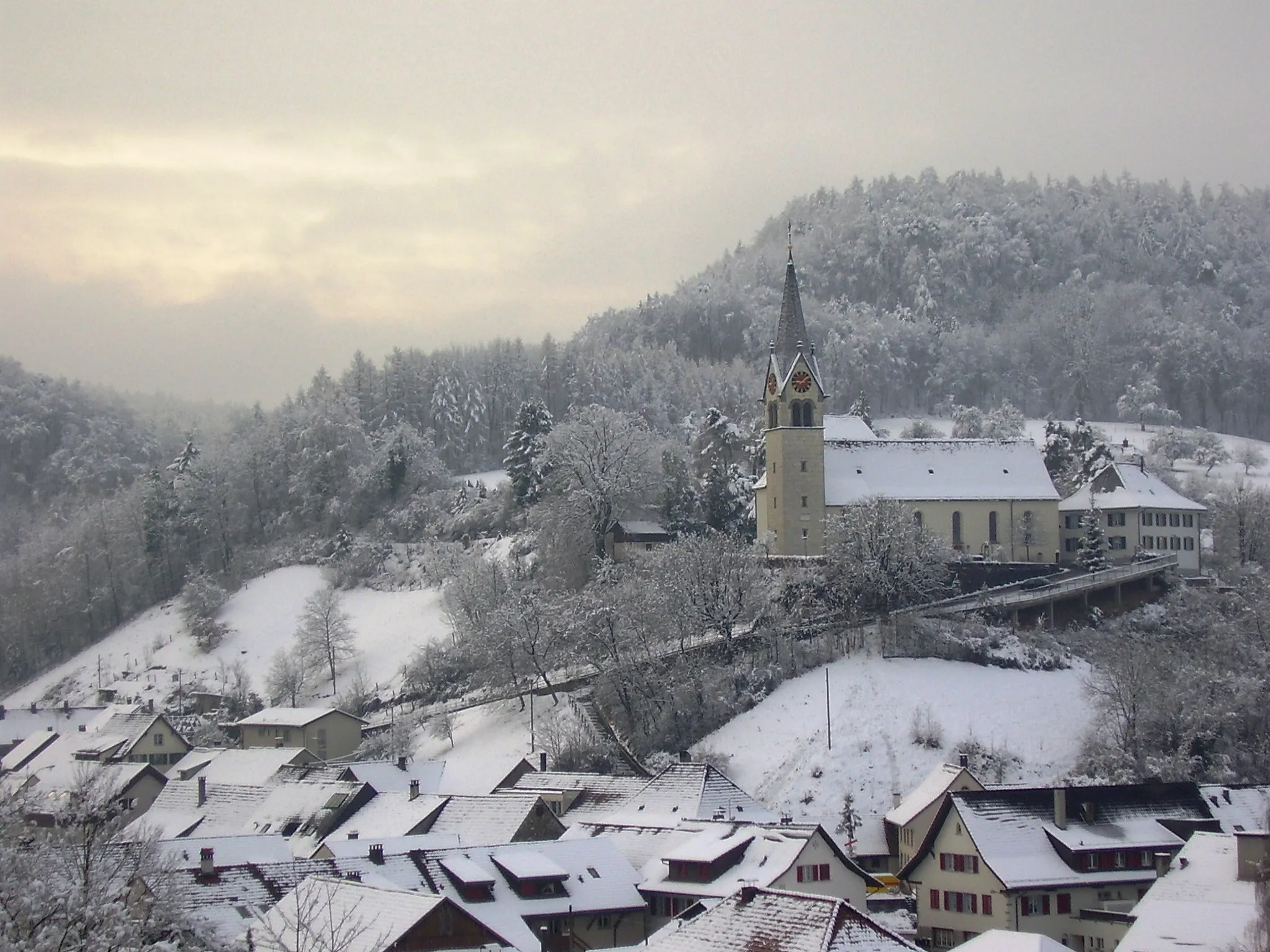
StilliVillageStilli is a charming village with lush greenery and rolling hills, providing a perfect setting for an enjoyable cycling experience.
50 km
50 km
Finish: Würenlingen Village centerWürenlingen: Cycling Paradise in Nordwestschweiz
Cycling routes nearby: