Scenic Road Cycling Adventure near Amriswil
A road cycling route starting from Amriswil
Embark on a scenic road cycling adventure through Amriswil's enchanting surroundings
Map
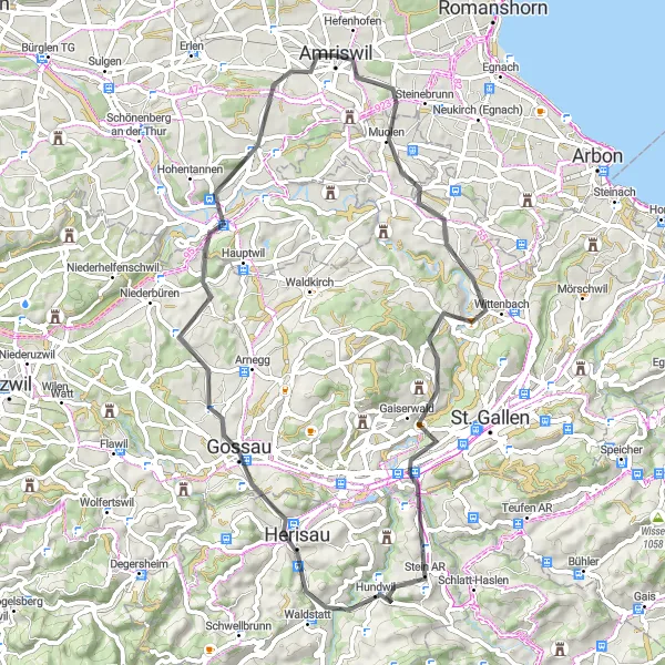
This road cycling route showcases the incredible beauty of the landscapes near Amriswil. Covering a distance of 60 kilometers with an elevation gain of 928 meters, this ride is suitable for well-trained cyclists seeking breathtaking scenery and enjoyable challenges. The highlights along the route include Häggenschwil, Aussichtspunkt Kastenberg, Gaiserwald, Aussichtspunkt Reservoir, Nieschberg, Herisau, Bischofszell, and Amriswil. Prepare to be captivated by the diverse scenery, including rolling hills, enchanting villages, and panoramic viewpoints.
road
60 km
928 m
Tough
Route profile
Highlights on the route
0 km
0 km
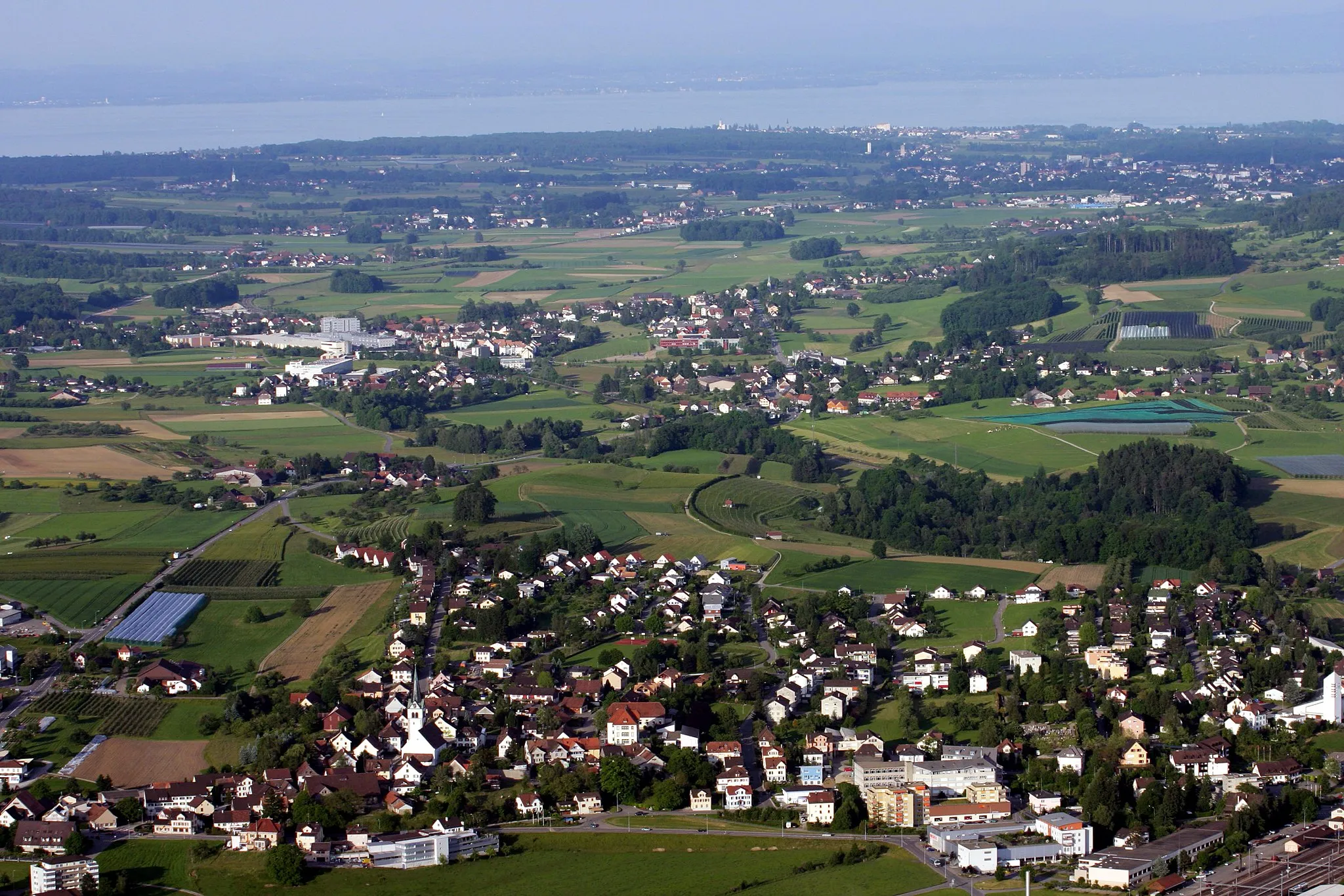
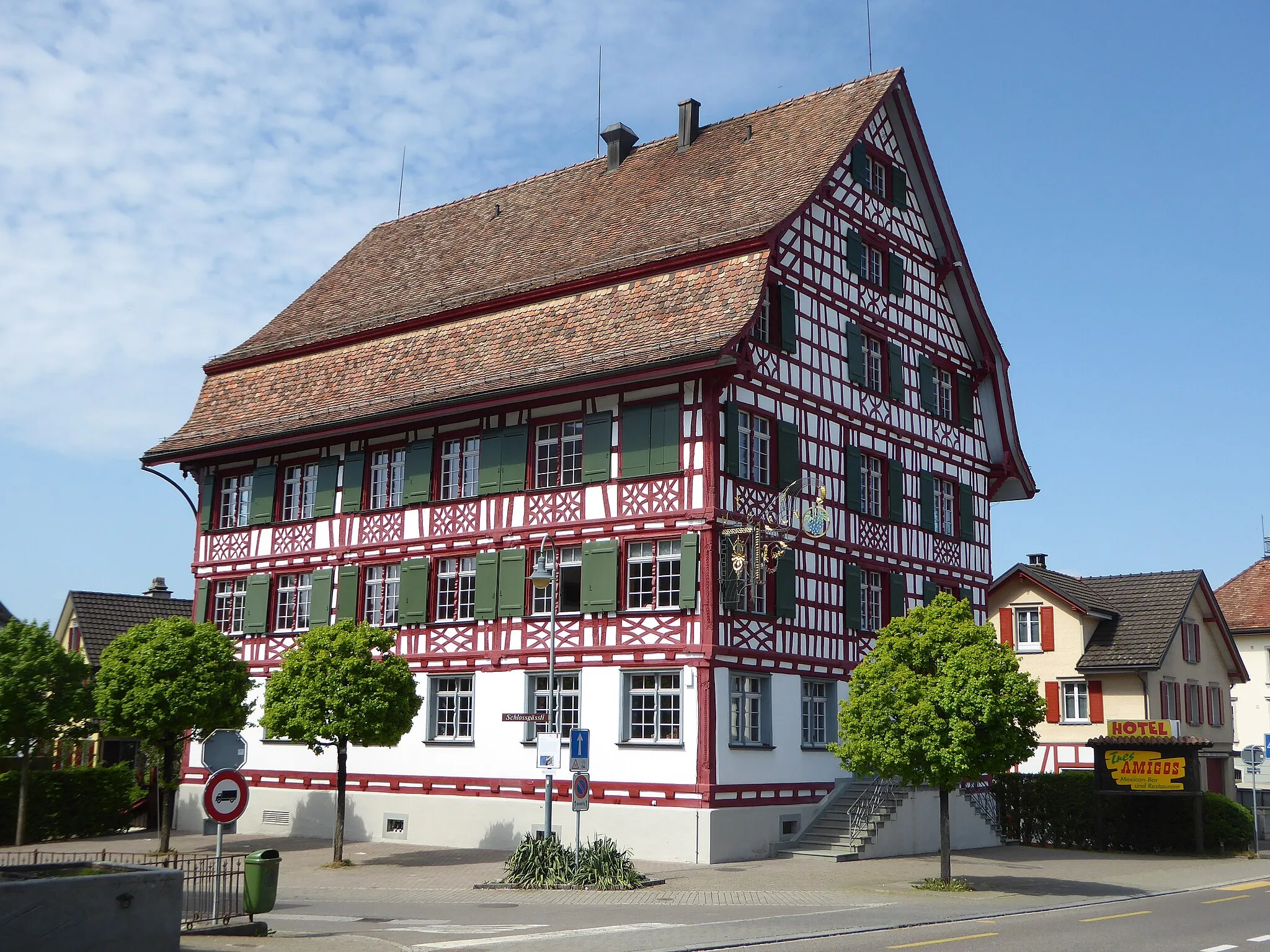
Start: Amriswil City centerAmriswil: Explore the scenic routes around Lake Constance and conquer the challenging Hörnli ascent in Amriswil.
Amriswil is a charming locality located in the Ostschweiz region of Switzerland. As a road and gravel cyclist, you'll find an array of cycling opportunities in Amriswil and its surroundings. The region offers flat routes around Lake Constance and challenging climbs in the rolling hills. Notable nearby cycling spots include the Rhine Cycle Path and the Hörnli ascent. With its diverse terrain and cyclist-friendly infrastructure, Amriswil is a fantastic destination for cycling enthusiasts of all skill levels.8 km
8 km
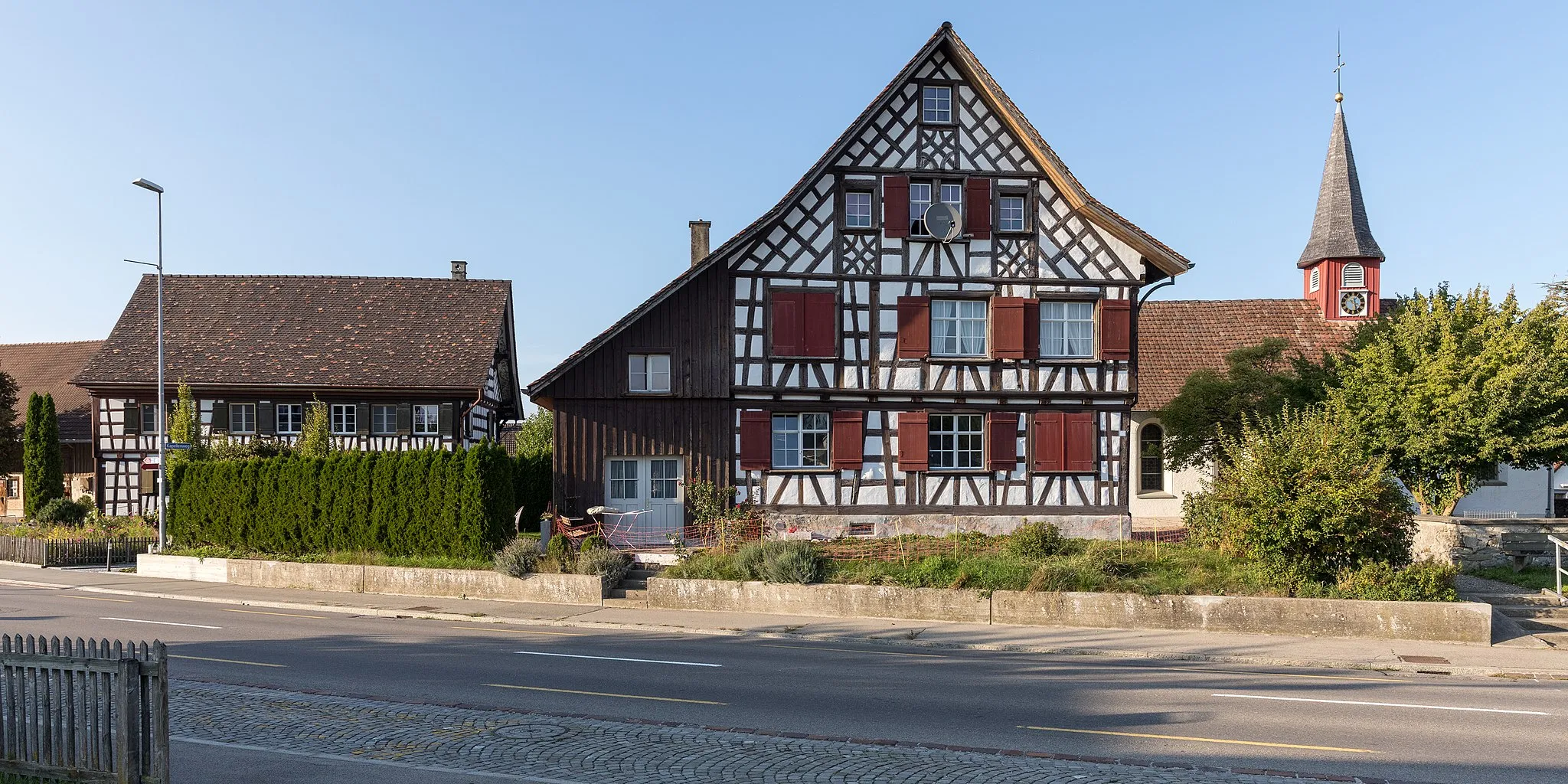
HäggenschwilVillageMake sure to stop at Häggenschwil for its stunning views of Lake Constance and the surrounding countryside.
9 km
9 km
Aussichtspunkt KastenbergViewpointAussichtspunkt Kastenberg, a viewpoint offering panoramic vistas, provides the perfect spot for a photo opportunity during your ride.
20 km
20 km
GaiserwaldVillageGaiserwald presents scenic landscapes with rolling hills and picturesque meadows, creating a truly immersive cycling experience.
27 km
27 km
Aussichtspunkt ReservoirViewpointAussichtspunkt Reservoir provides breathtaking views of the reservoir, reflecting the beauty of its surroundings.
33 km
33 km
NieschbergViewpointNieschberg offers stunning panoramic views of the Swiss Alps, guaranteeing an awe-inspiring moment during your ride.
35 km
35 km
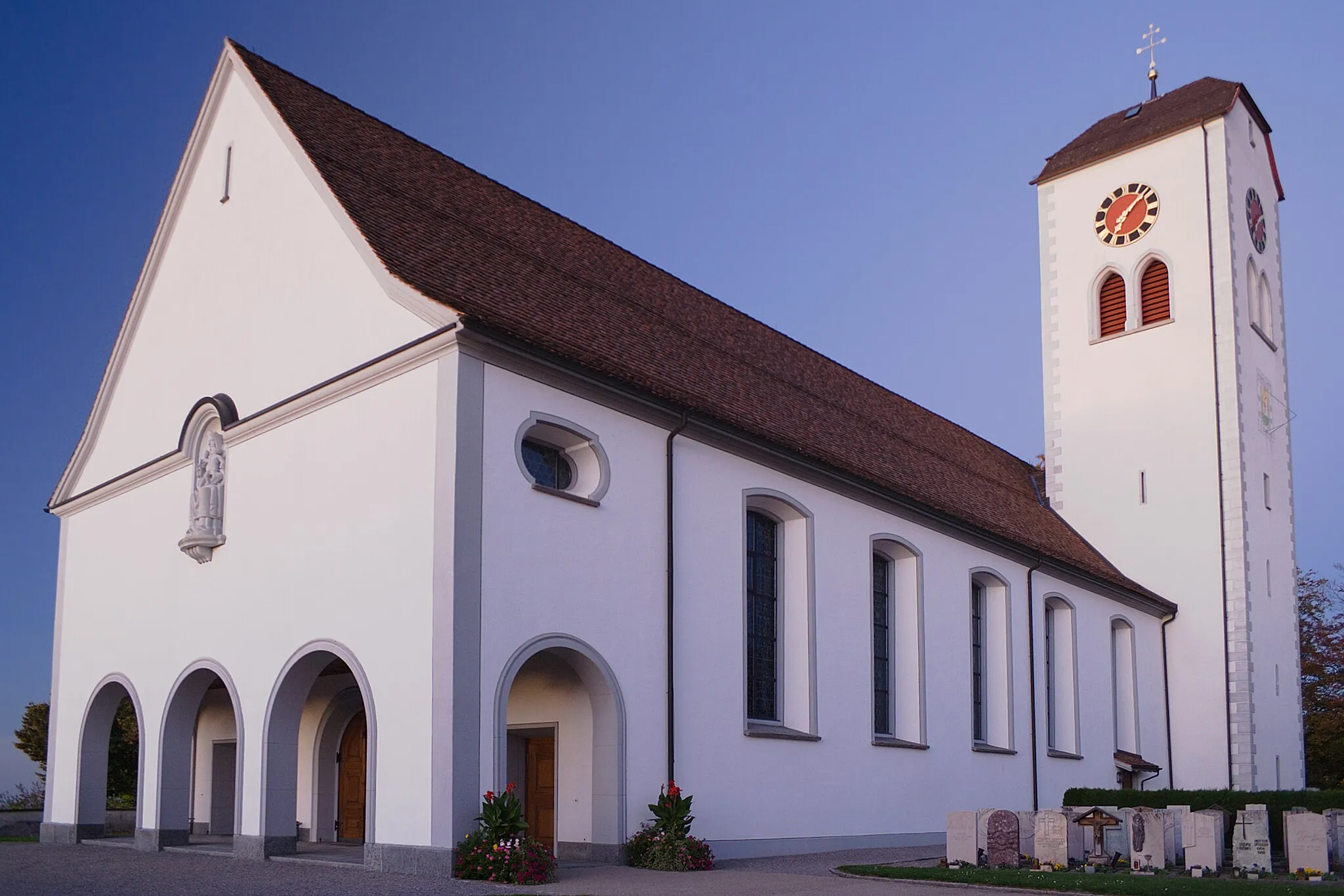
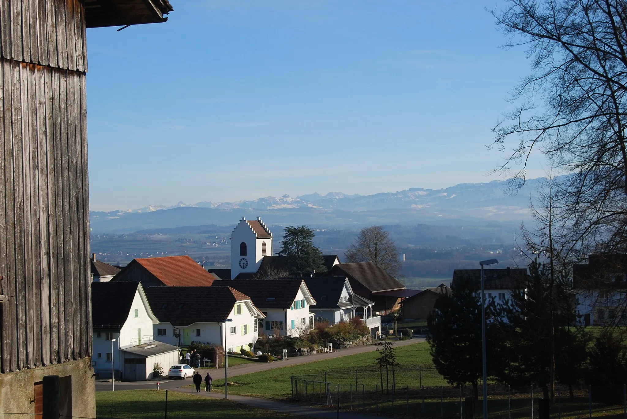
HerisauTownHerisau, the capital of the canton of Appenzell Ausserrhoden, is known for its charming old town and beautiful landscape.
50 km
50 km
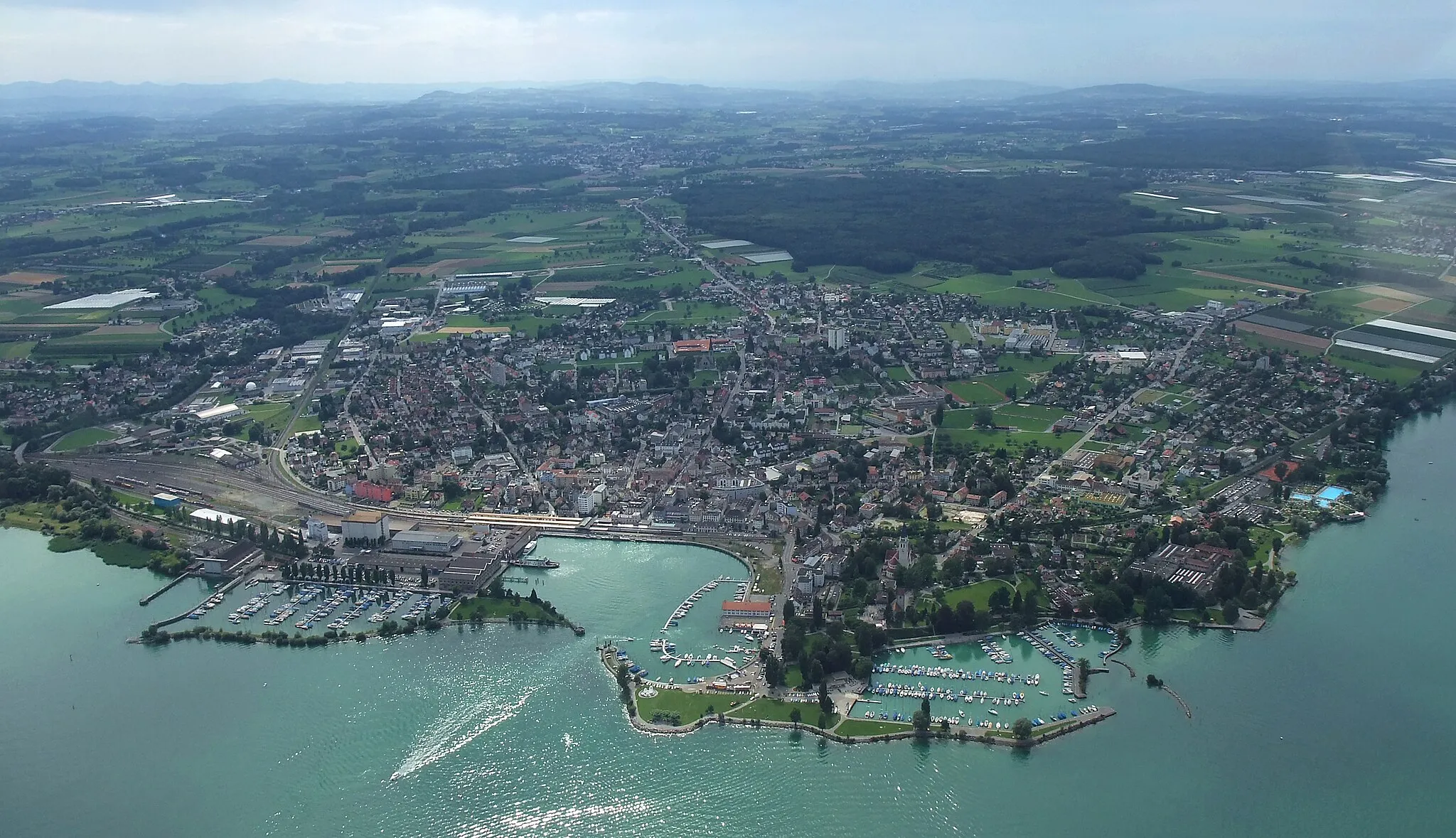
BischofszellVillageBischofszell boasts a rich heritage, featuring well-preserved historic buildings, cobbled streets, and a vibrant market square.
60 km
60 km
AmriswilTownAmriswil is your starting and ending point, a vibrant town with a rich history and various cultural attractions, including museums and galleries.
60 km
60 km
Finish: Amriswil City centerAmriswil: Explore the scenic routes around Lake Constance and conquer the challenging Hörnli ascent in Amriswil.
Cycling routes from Amriswil:
Scenic Road Cycling Adventure near Amriswil Short Gravel Escape near Amriswil Thur Cycling Route Road Cycling Exploration of Amriswil and Surroundings Gravel Adventure through Amriswil and Surroundings Bischofszell Gravel Exploration Lake Constance Loop Hilltops and Castles Gravel Tour Epic Road Climbing Challenge from Amriswil Alt-Ramschwag Gravel Adventure Amriswil to Hefenhofen Road Tour Amriswil Loop via Andwil SG Amriswil to Erlen Gravel Route Häggenschwil to Gewerbeturm Amriswil Gravel Route
Cycling routes nearby: