Tägerschen Loop
A gravel cycling route starting from Munchwilen
Immerse yourself in the tranquil countryside on this gravel cycling route through Tägerschen.
Map
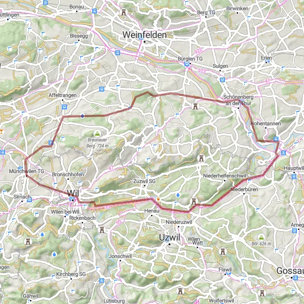
The Tägerschen Loop is a 48-km gravel cycling route that takes you through the tranquil countryside near Münchwilen. With an ascent of 488 meters, this route offers a peaceful ride through scenic landscapes and charming villages. Starting in Münchwilen, the route passes through highlights such as Trunger Holz, Tägerschen, Buhwil, the confluence of the Sitter and Thur rivers, Geissberg, and Wil.
gravel
48 km
488 m
Chill
Route profile
Highlights on the route
0 km
0 km
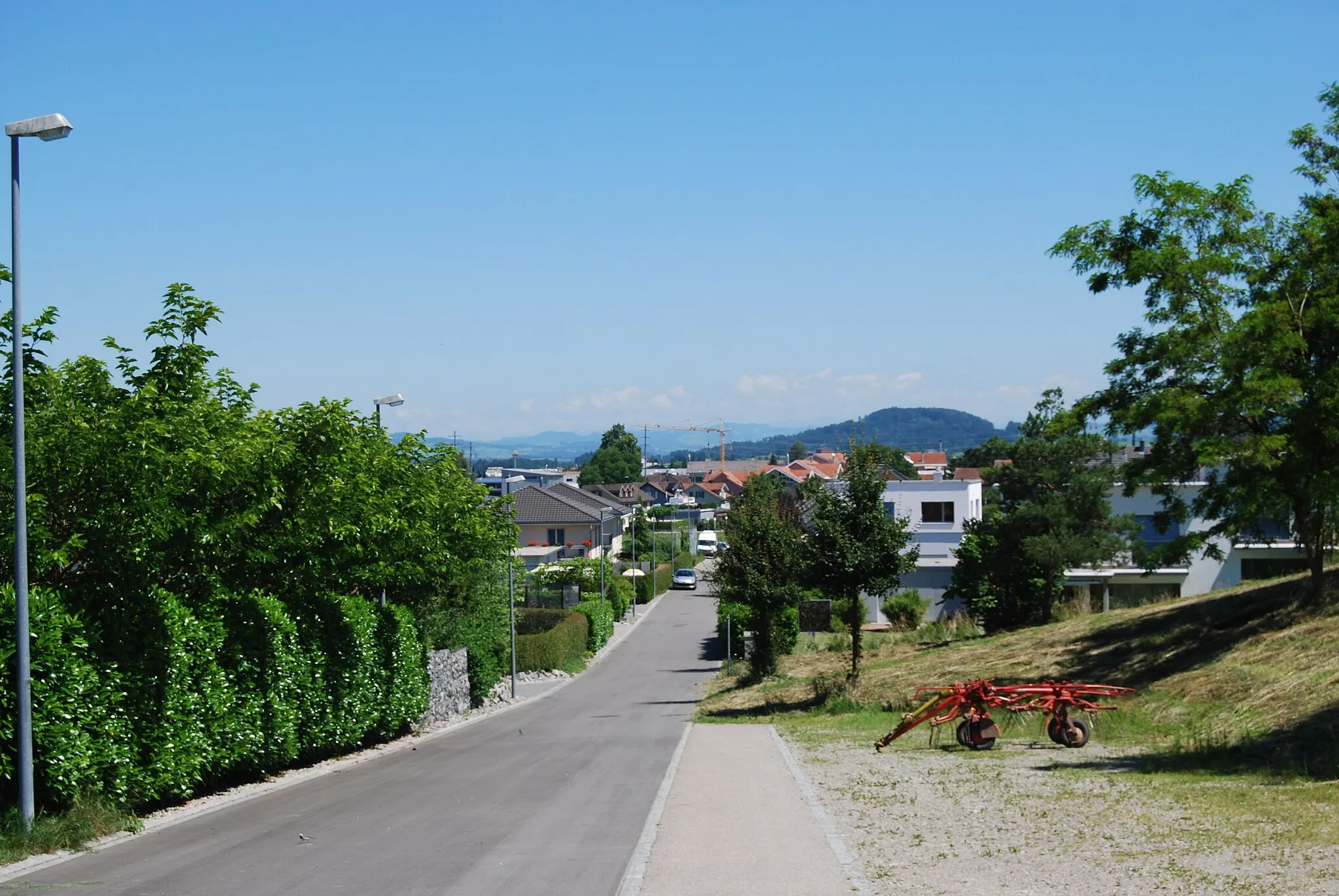
Start: Münchwilen TG Village centerMünchwilen: Leisure cycling in Münchwilen's flat and hilly terrain.
Münchwilen, situated in the Ostschweiz region of Switzerland, provides decent cycling possibilities. The locality features a mix of flat stretches and gentle hills for road and gravel cyclists to explore. While not considered a hot spot for cycling, Münchwilen offers a pleasant environment for leisure rides. The rank assigned to Münchwilen is 3.2 km
2 km
Trunger Holz551 mPeakTrunger Holz is a small forested area. You will pass through it on your way to Tägerschen.
5 km
5 km
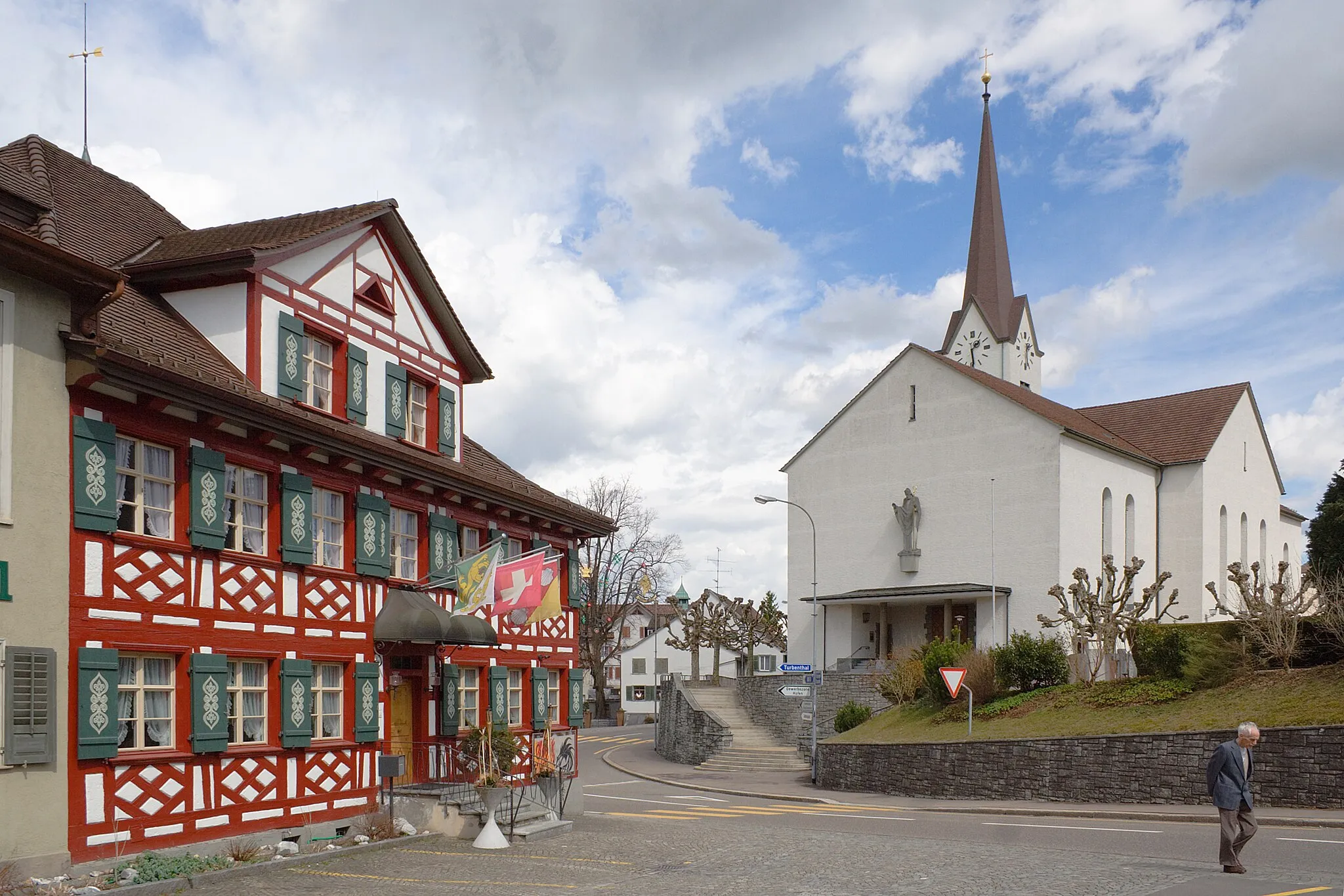
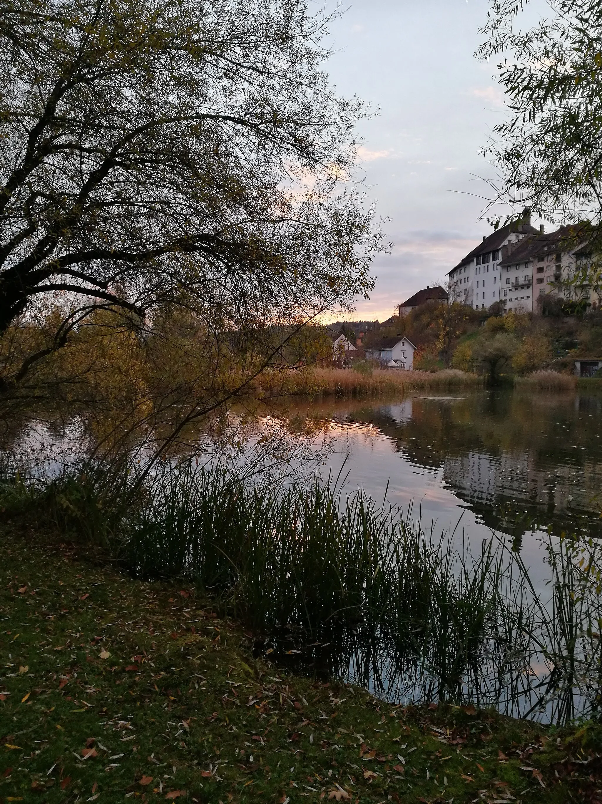
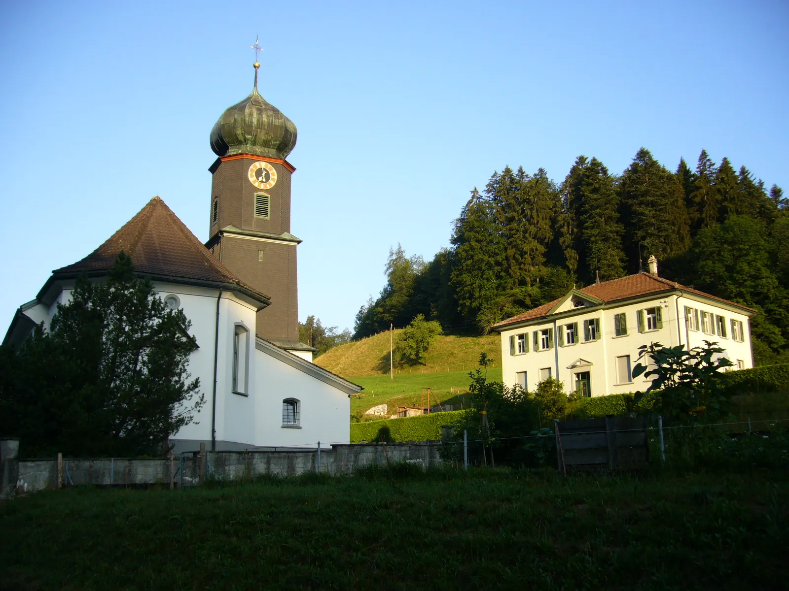
TägerschenVillageTägerschen is a quaint village surrounded by stunning countryside. Take a moment to enjoy the peaceful atmosphere and beautiful landscapes.
17 km
17 km
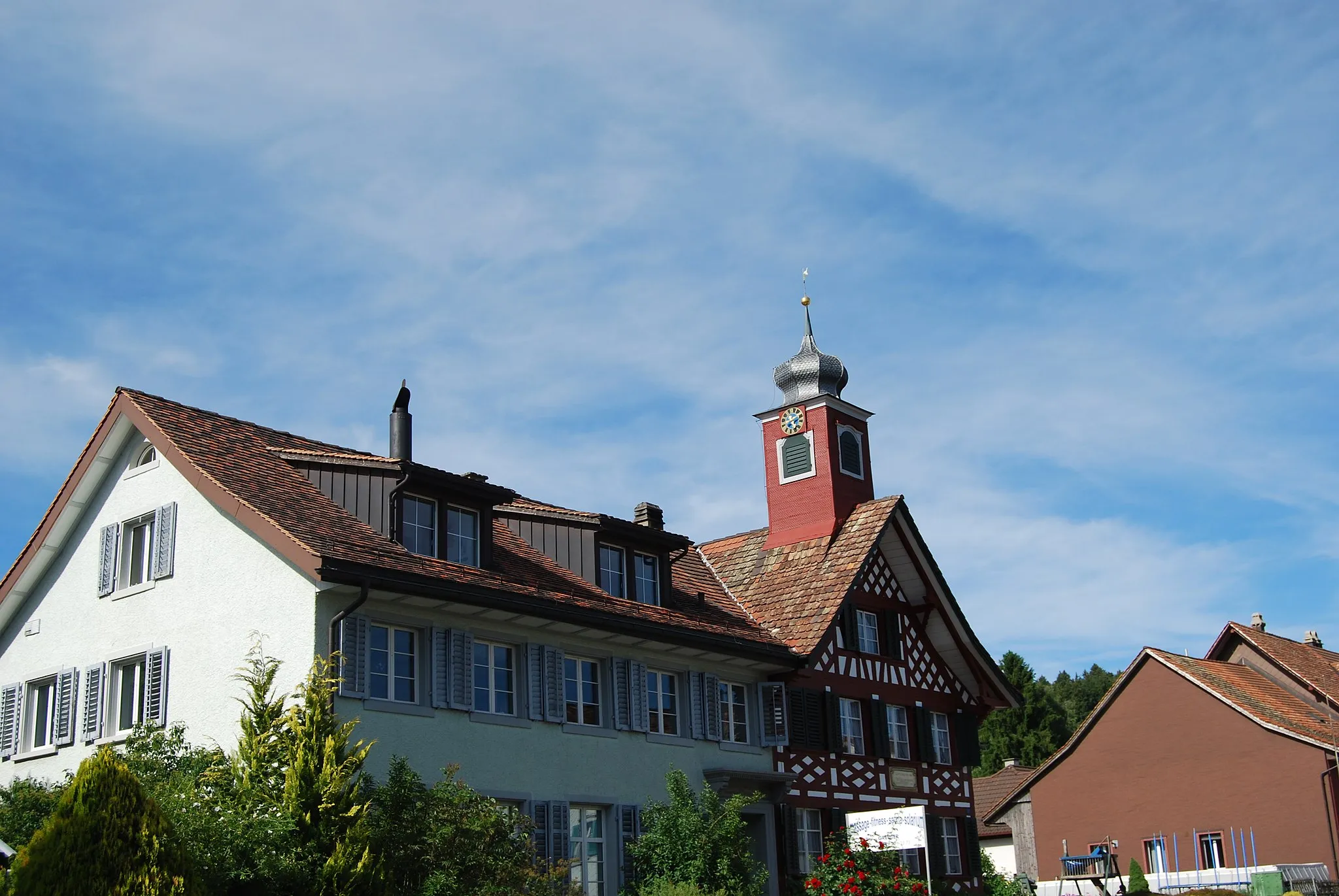
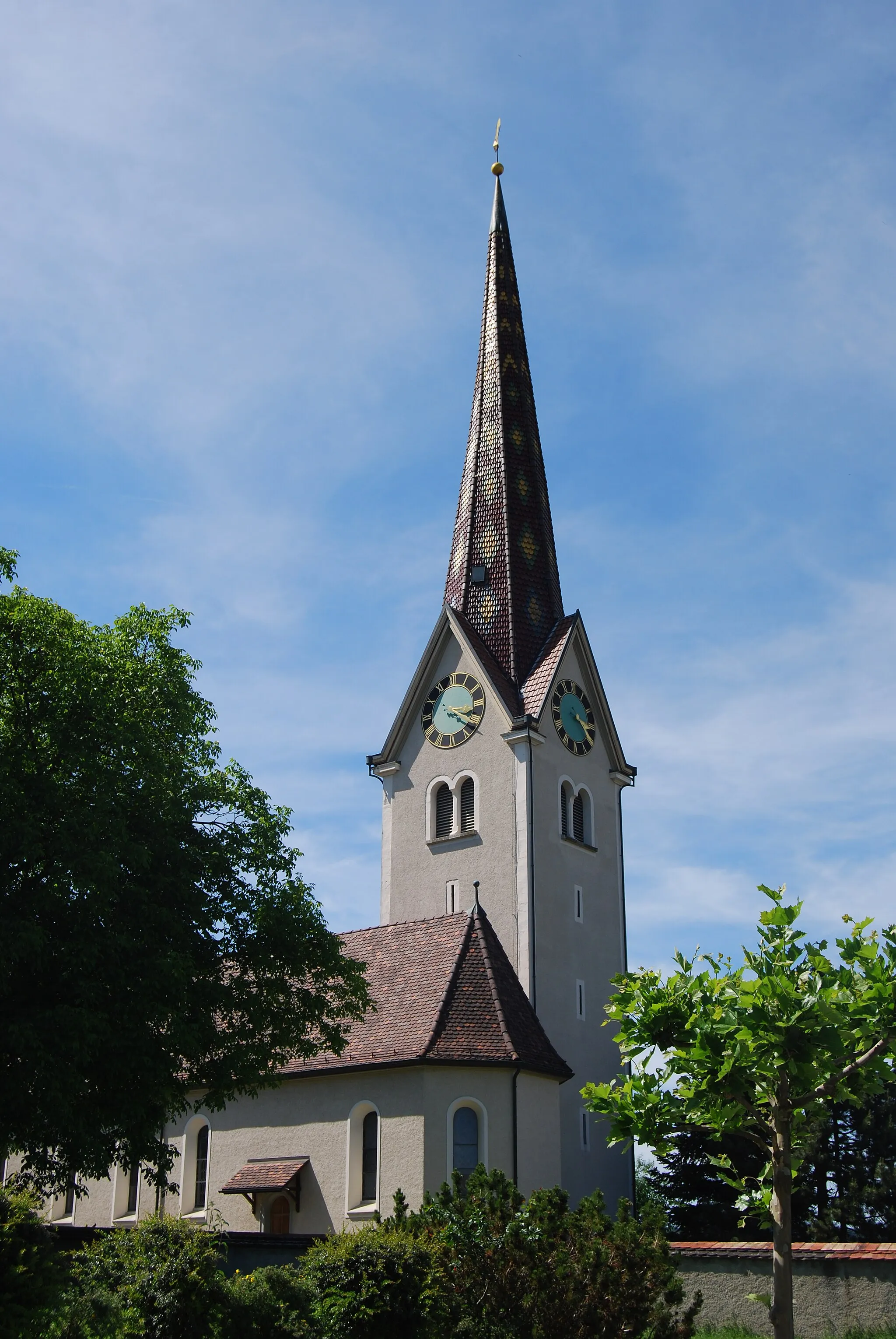
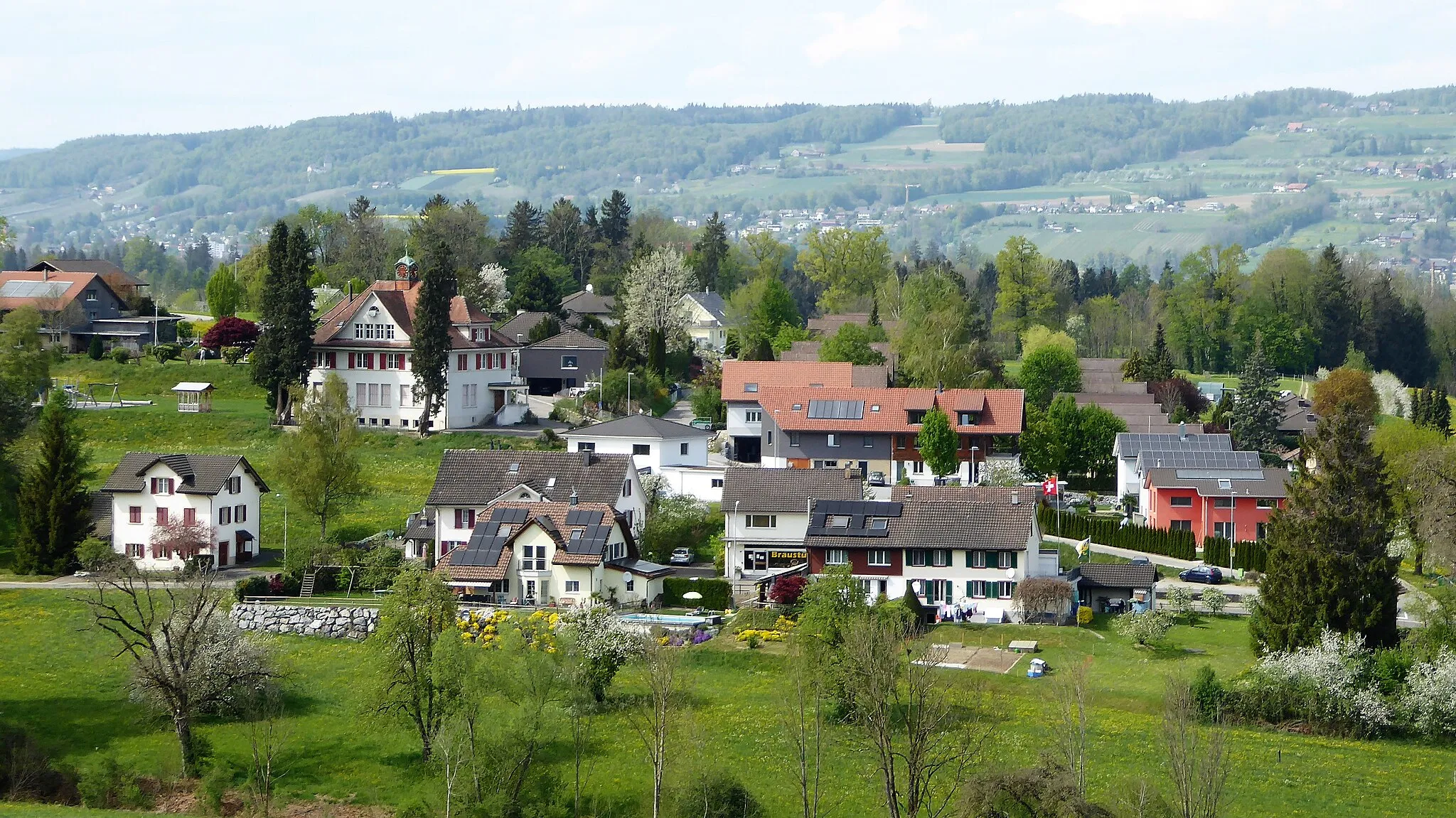
BuhwilHamletBuhwil is a picturesque village known for its traditional Swiss architecture. Explore its charming streets and discover its cultural heritage.
25 km
25 km
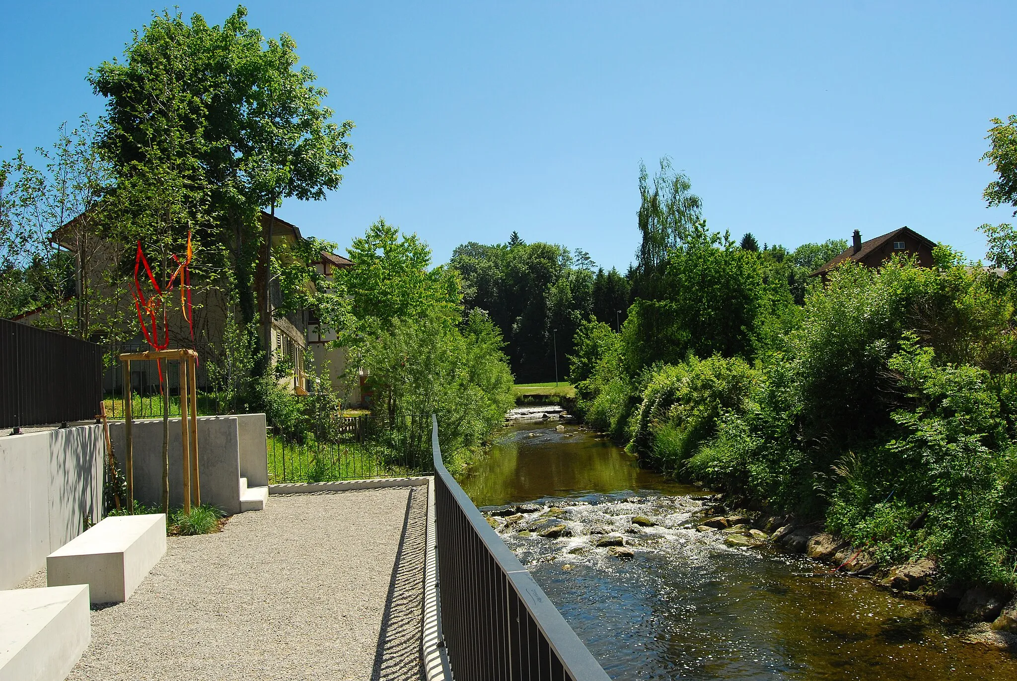
Mündung Sitter in ThurViewpointThe confluence of the Sitter and Thur rivers is a beautiful natural site. Pause here and admire the meeting of two scenic waterways.
35 km
35 km
Geissberg595 mPeakGeissberg offers panoramic views of the surrounding countryside. Take a moment to soak in the beauty of the landscapes.
45 km
45 km
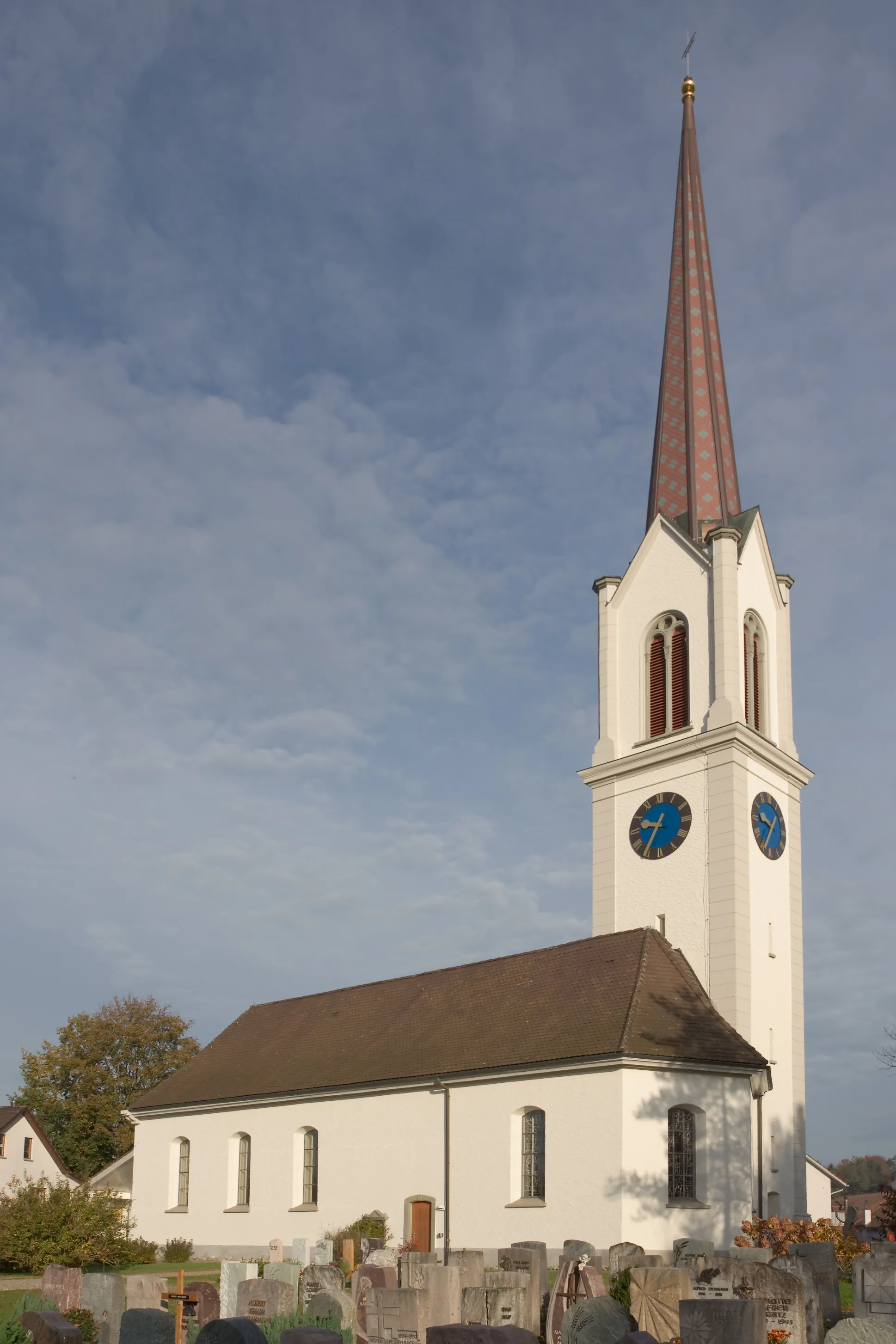
WilTownWil is a historic town with a charming old town area. Explore its medieval architecture and visit its renowned museum.
48 km
48 km
Finish: Münchwilen TG Village centerMünchwilen: Leisure cycling in Münchwilen's flat and hilly terrain.
Cycling routes from Munchwilen:
Münchwilen - Road to Lommis Affeltrangen Loop Münchwilen - Road to St. Margarethen TG Affeltrangen and Wuppenau Loop Münchwilen - Gravel to Wil Weinfelden and Constance Loop Tägerschen Loop Schönholzerswilen and Schönengrund Loop Münchwilen - Gravel to Stettfurt Münchwilen - Road to Wilen bei Wil Sirnach to Bichelsee Gravel Cycle Route Münchwilen TG to Dammbüel Road Cycle Route Wil to Fischingen Road Cycle Route Münchwilen TG to Dammbüel (Extended) Road Cycle Route
Cycling routes nearby: