Netstal Loop
A road cycling route starting from Netstal
Ride through picturesque Swiss landscapes on this challenging road loop near Netstal.
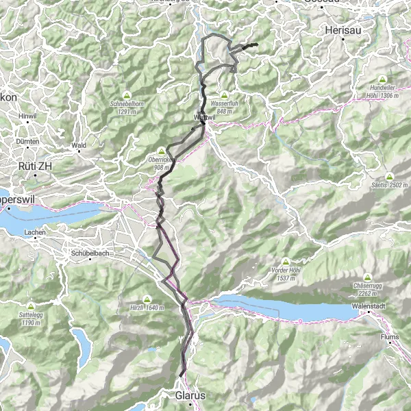
Map
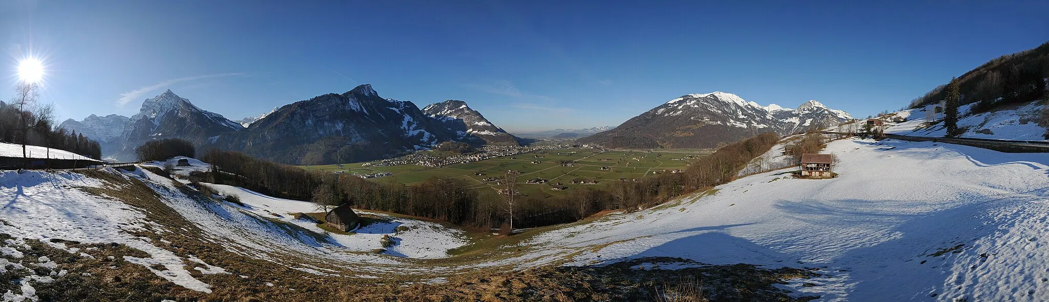
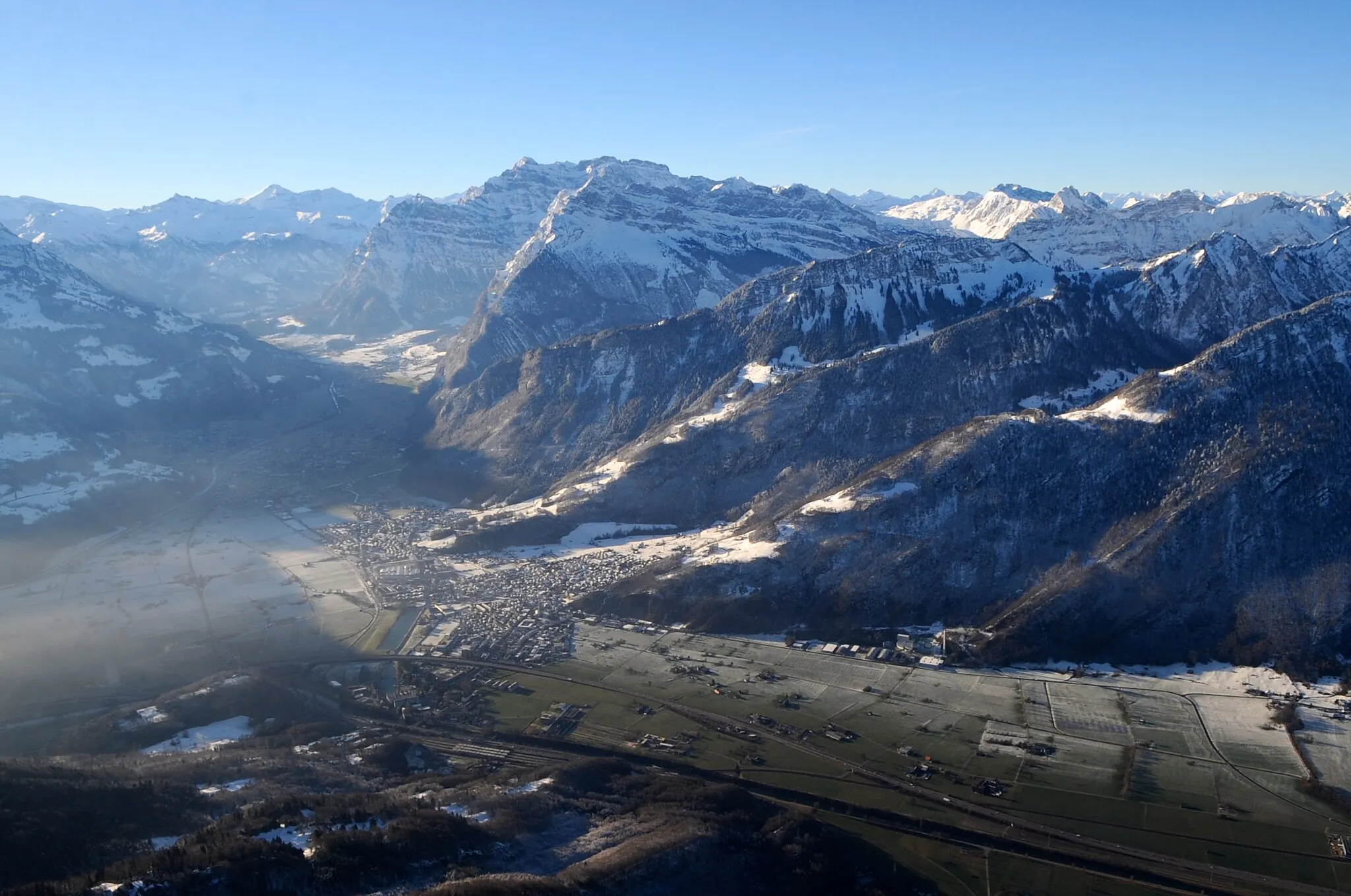
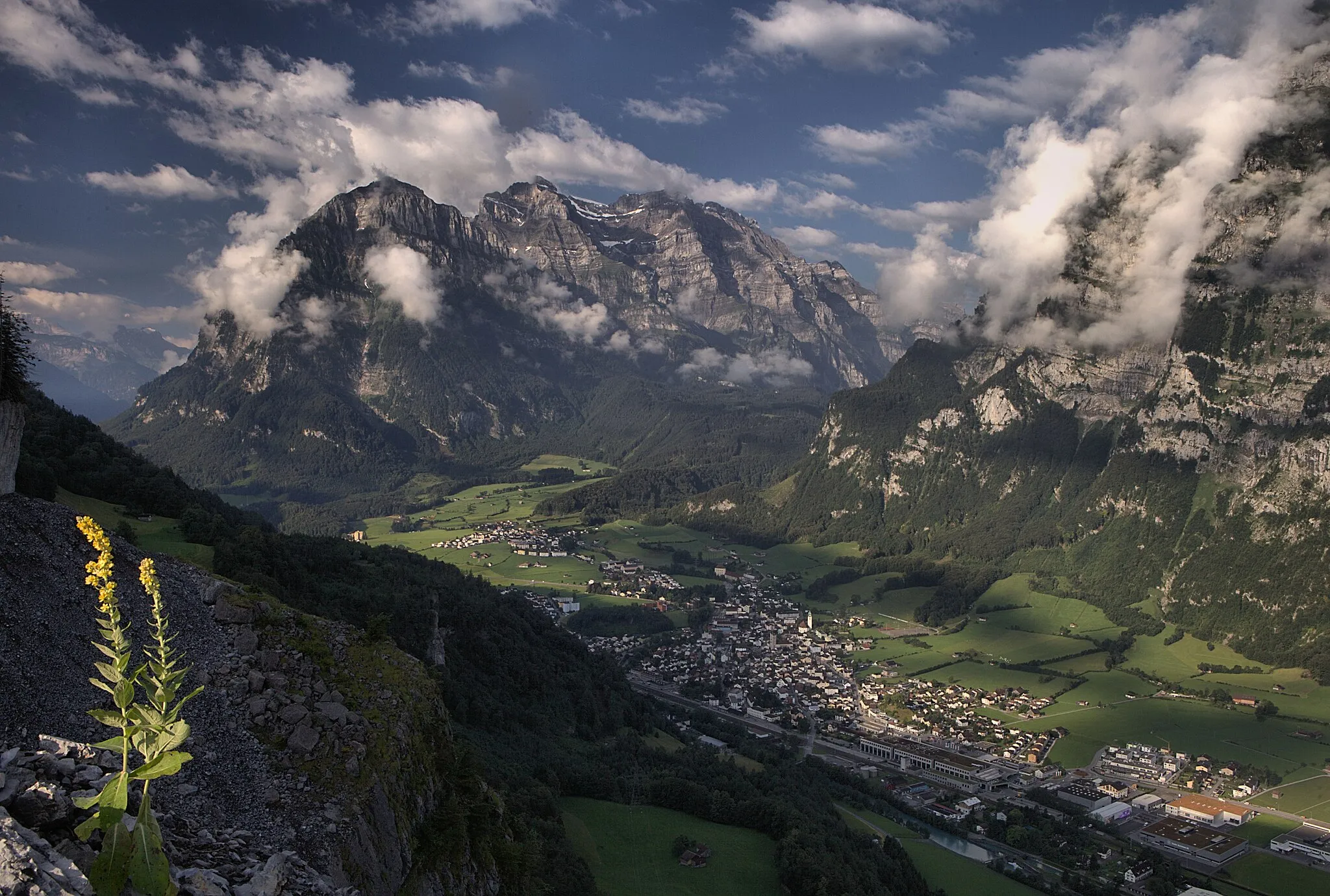
The Netstal Loop is a scenic and challenging cycling route that takes you through the beautiful landscapes of eastern Switzerland. Starting in the small town of Netstal, the route encompasses a variety of terrain, including rolling hills, mountain passes, and picturesque valleys. With a total distance of 105 kilometers and an elevation gain of 1,592 meters, this loop is suitable for well-trained amateur cyclists. The Netstal Loop offers a great combination of breathtaking natural beauty and challenging riding conditions, making it a popular choice among cyclists in the region.
road
105 km
1592 m
Tough
Route profile
Highlights on the route
0 km
0 km
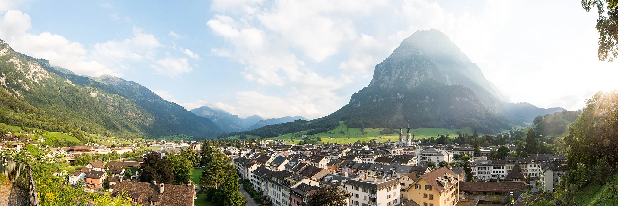
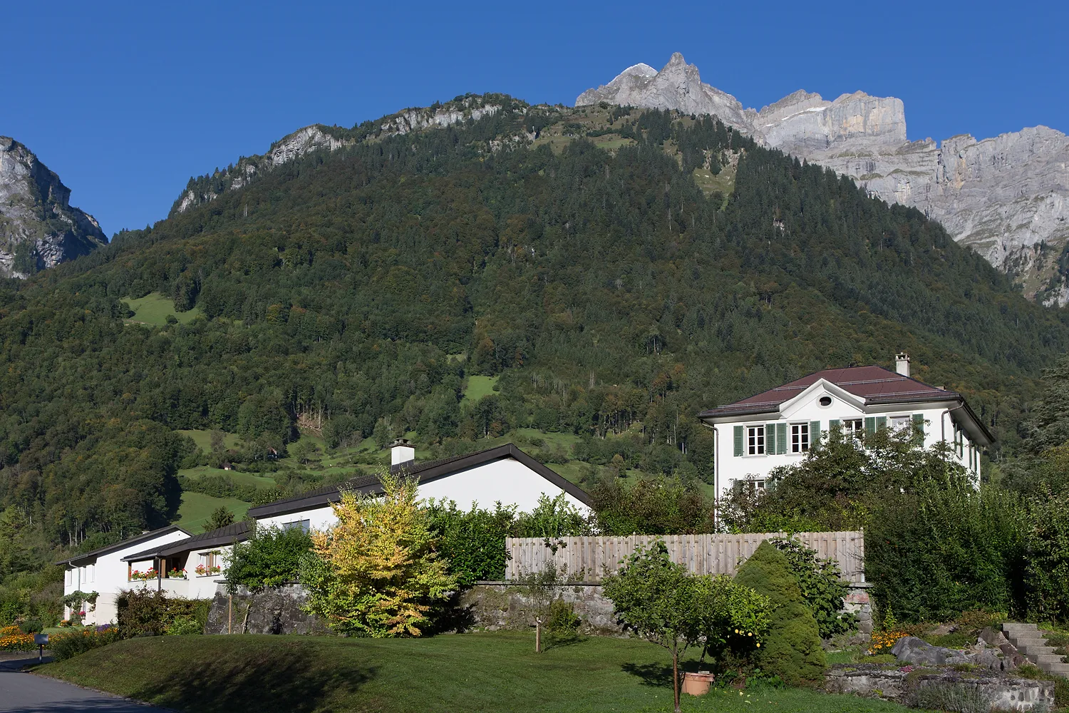
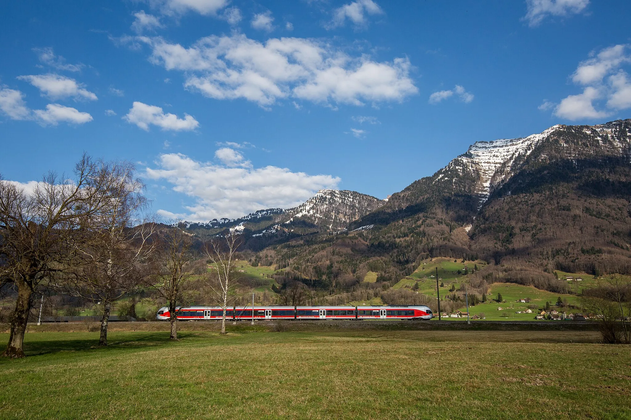
Start: Netstal Village centerNetstal: Picturesque Landscapes and Alpine Adventure
Netstal is a locality located in the Ostschweiz region of Switzerland. Netstal offers a range of cycling routes through picturesque landscapes, charming villages, and serene lakes. As a cyclist, you can enjoy rolling hills and pleasant descents in this scenic region. Additionally, Netstal is an excellent starting point for exploring the Glarus region and Bergün, which is renowned for its cycling-friendly routes and stunning alpine scenery. With its idyllic surroundings and cycling opportunities, Netstal is a fantastic choice for road and gravel cyclists.0 km
0 km
NetstalVillageNetstal, the starting point of the route, is a charming Swiss town known for its scenic beauty and relaxed atmosphere.
8 km
8 km
Biberlichopf566 mPeakBiberlichopf is a stunning viewpoint along the route that offers panoramic views of the surrounding mountains and valleys.
30 km
30 km
Unterer Lindberg924 mPeakUnterer Lindberg is a peaceful village nestled in a picturesque valley, providing a tranquil rest stop during the ride.
33 km
33 km
WattwilVillageWattwil is a charming town with a rich history and interesting architecture, making it worth a visit during the ride.
57 km
57 km
GanterschwilVillageGanterschwil is a small village that showcases traditional Swiss village life and provides a glimpse into the region's cultural heritage.
65 km
65 km
LichtensteigVillageLichtensteig is a historic town with charming medieval streets and buildings, offering a unique backdrop for your cycling adventure.
74 km
74 km
Oberricken908 mMountain PassOberricken is a scenic hilltop village with beautiful views of the surrounding countryside.
86 km
86 km
Maria BildsteinHamletMaria Bildstein is a picturesque church on top of a hill, providing a peaceful and scenic spot for a rest during your ride.
101 km
101 km
MollisVillageMollis is a quaint village with traditional Swiss architecture and a peaceful atmosphere that makes it a great place to stop and relax.
105 km
105 km
Finish: Netstal Village centerNetstal: Picturesque Landscapes and Alpine Adventure
Cycling routes from Netstal:
The Gravel Adventure The Glorious Gravel in Glarus Road Cycling Delight: Netstal to Mollis The Glarus Adventure The Alpine Challenge Netstal - Vorauen - Brüschbüchel - Roggenstöckli - Muotathal - Illgau - Ibergeregg - Unteriberg - Sattelegg - Schübelbach - Netstal The Ultimate Gravel Challenge: Glarus to Einsiedeln Gravel Cycling Paradise: Mollis and Walensee Netstal Loop The Amden Adventure Netstal - Näfels - Reichenburg - Wald - Ernetschwil - Biberlichopf - Ziegelbrücke - Mollis Netstal - Reichenburg - Lachner Aahorn Turm - Freienbach - Wollerau - Lindenhof - Schmerikon - Benkner Büchel - Biberlichopf - Mollis Netstal - Näfels - Biberlichopf
Cycling routes nearby: