Wuppenau Challenge
A road cycling route starting from Sulgen
Conquer the challenging climbs of Wuppenau and enjoy exhilarating descents
Map
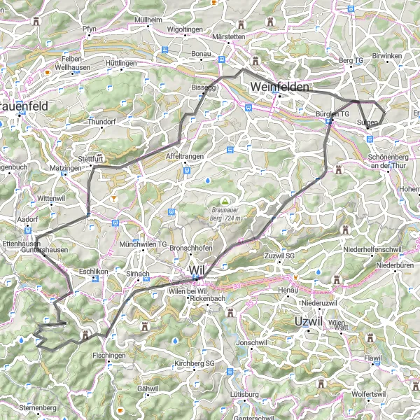
The Wuppenau Challenge is a road cycling route that provides both scenic beauty and cycling challenges. With a distance of 74 km and an ascent of 853 meters, this route is suitable for experienced cyclists. Prepare yourself for steep climbs in Wuppenau and a thrilling descent that will get your adrenaline pumping. Highlights include Waltensberg, where you can admire panoramic views of the region, Guntershausen, a charming village with scenic landscapes, and Immenberg, known for its picturesque beauty. Don't miss Weinfelden, a town where you can experience the crossroads between city life and rural charm.
road
74 km
853 m
Tough
Route profile
Highlights on the route
0 km
0 km
Start: Donzhausen Village centerSulgen: Conquer the legendary Säntis ascent while enjoying the picturesque landscapes of Sulgen.
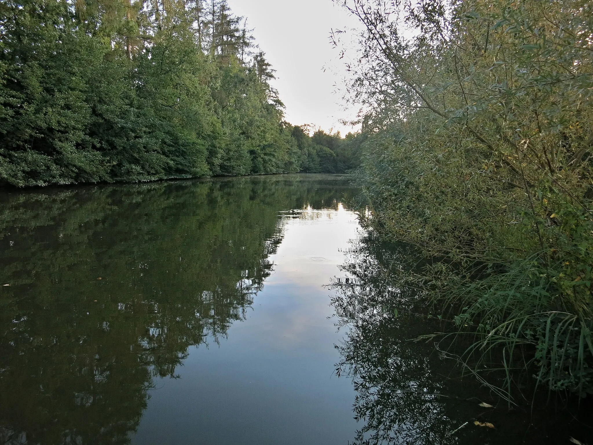
Sulgen is a picturesque locality situated in the Ostschweiz region of Switzerland. As a road and gravel cyclist, you'll be thrilled with the cycling opportunities Sulgen has to offer. The region is known for its well-maintained and extensive network of cycling paths, allowing you to explore the beautiful Swiss countryside at your own pace. A notable nearby climb is the Säntis, a legendary mountain ascent popular among cyclists. With its peaceful surroundings and cyclist-friendly infrastructure, Sulgen is a top destination for cycling enthusiasts.12 km
12 km
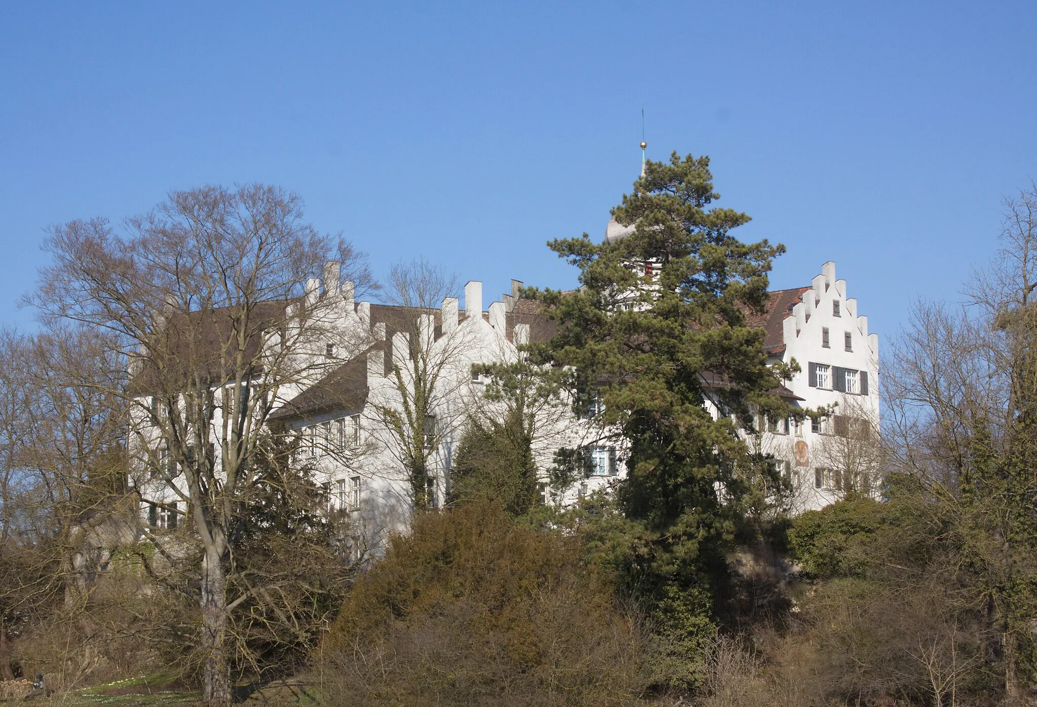
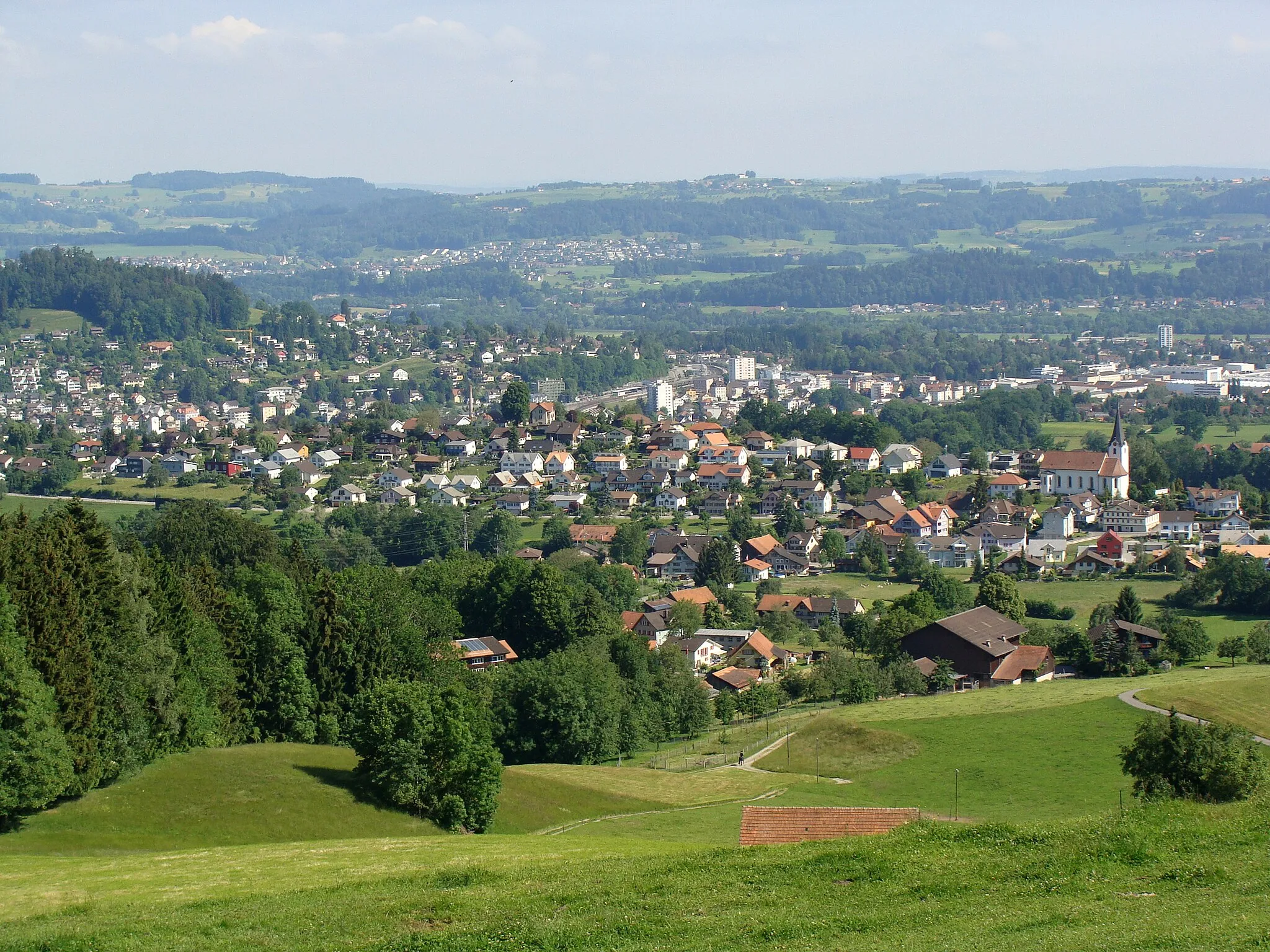
WuppenauVillageWuppenau, a challenging climb that tests your cycling skills and offers breathtaking views.
17 km
17 km
KaiserlindeViewpointKaiserlinde, a traditional linden tree under which riders can take a break and enjoy the picturesque surroundings.
27 km
27 km
Waltensberg715 mPeakWaltensberg, a highlight offering panoramic views and a picturesque countryside.
42 km
42 km
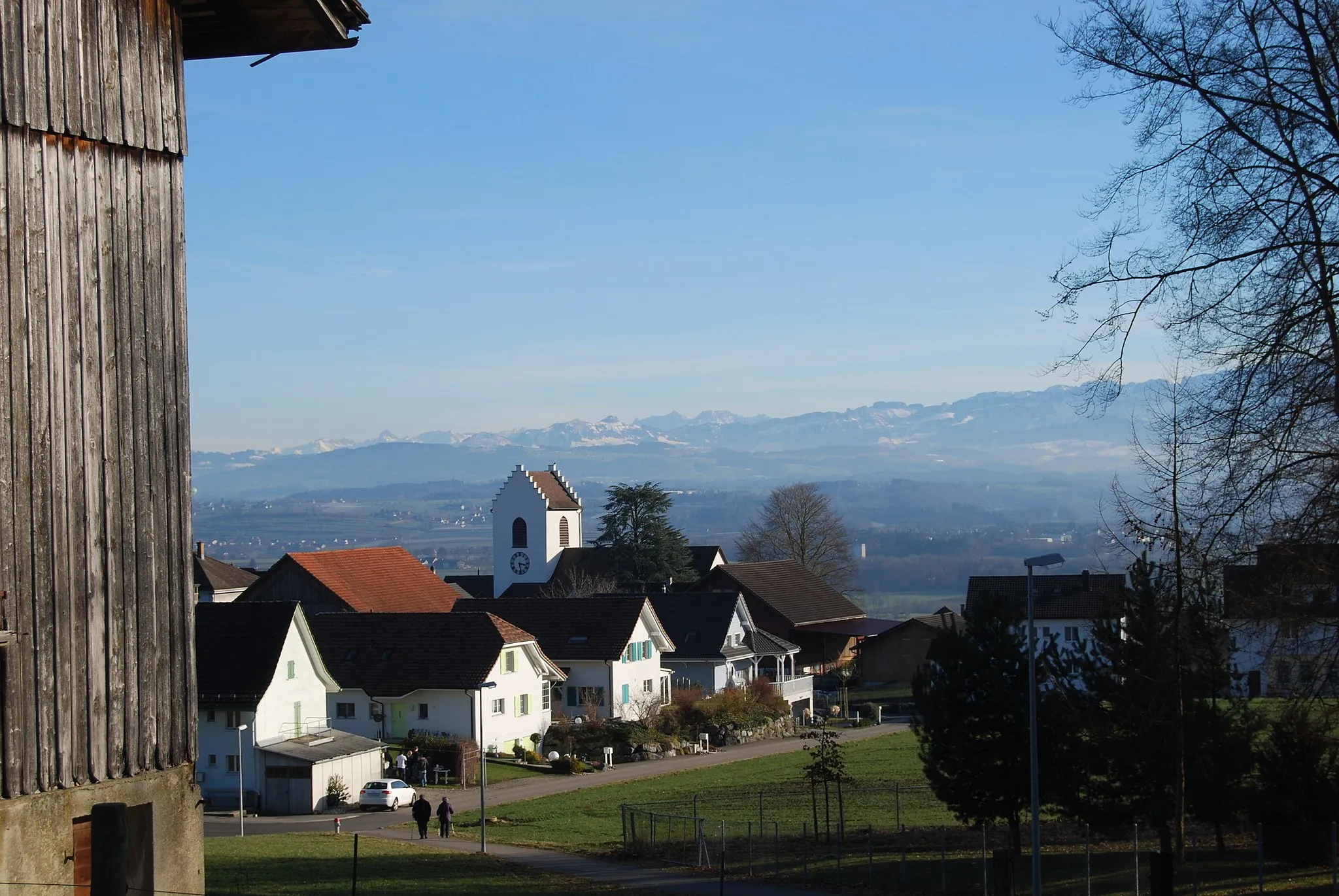
GuntershausenVillageGuntershausen, a scenic village with idyllic landscapes and a peaceful atmosphere.
51 km
51 km
Immenberg706 mPeakImmenberg, known for its stunning views and charming Swiss countryside.
65 km
65 km
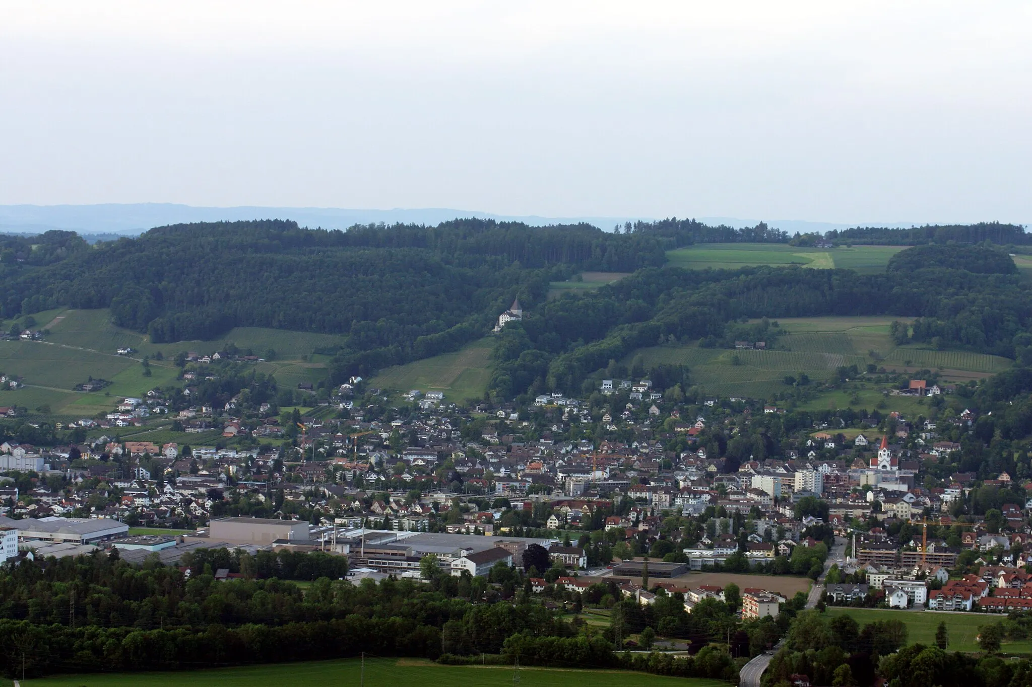
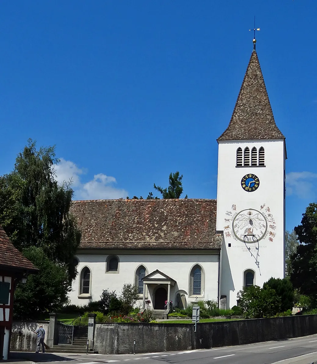
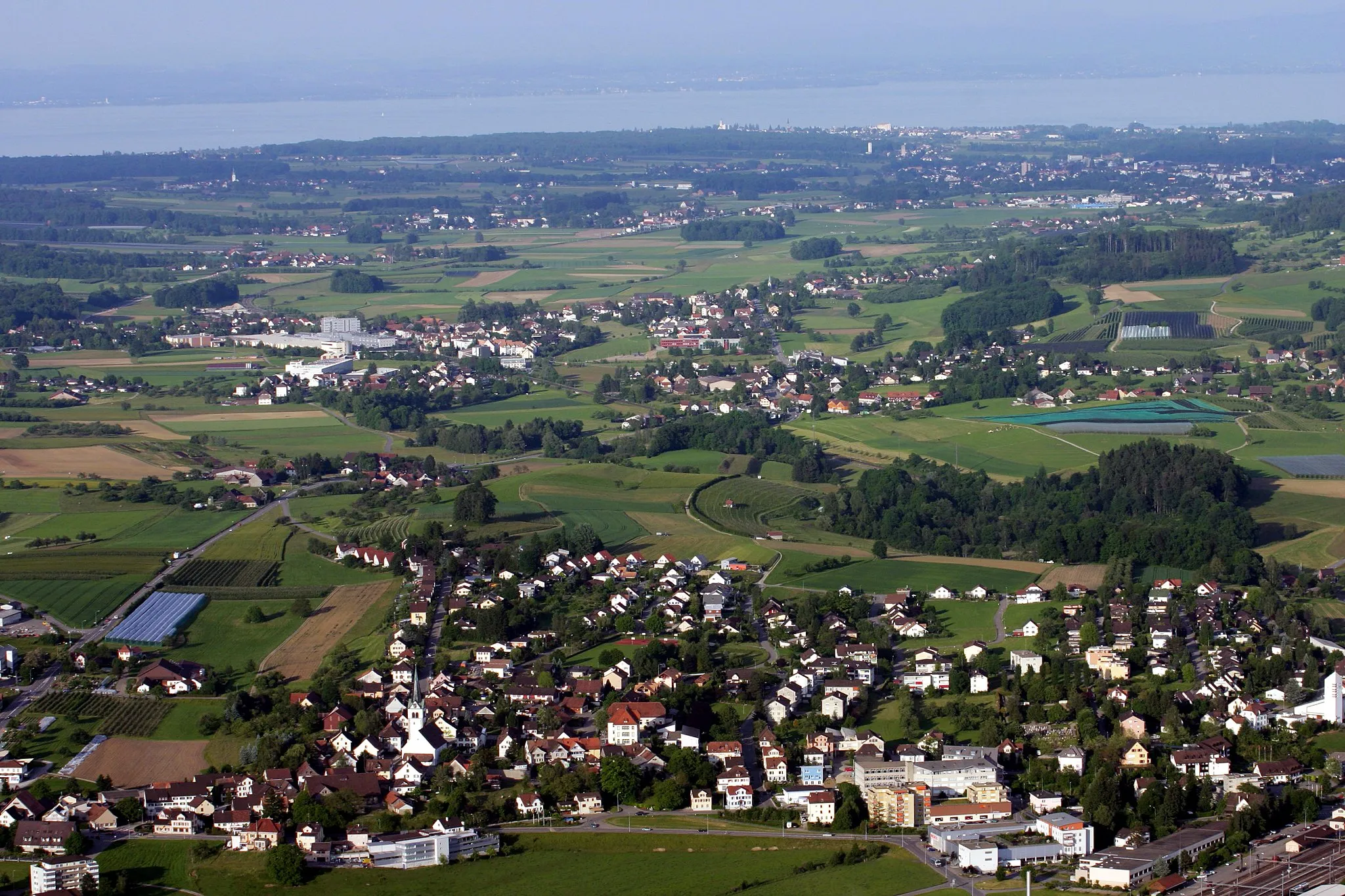
WeinfeldenTownWeinfelden, a bustling town combining modern life with picturesque architecture and striking landscapes.
73 km
73 km
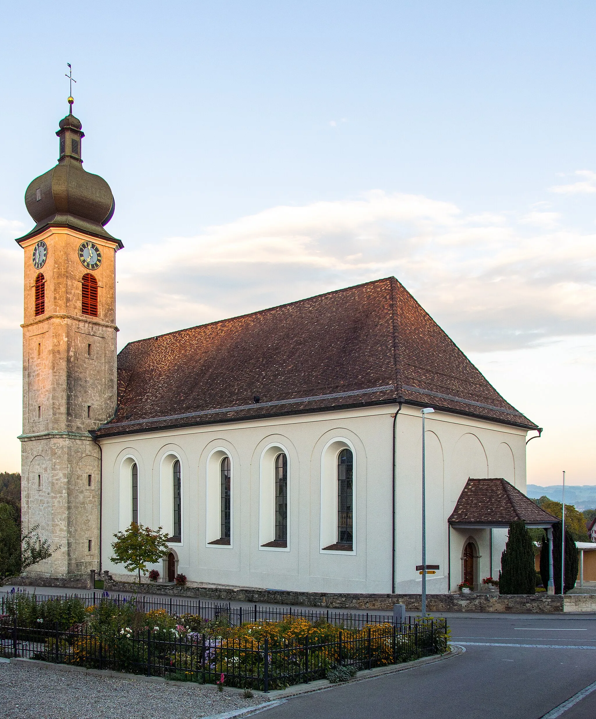
HessenreutiHamletHessenreuti, a hidden gem with calm surroundings and a beautiful village square.
74 km
74 km
Finish: Donzhausen Village centerSulgen: Conquer the legendary Säntis ascent while enjoying the picturesque landscapes of Sulgen.
Cycling routes nearby: