Tobel-Wilen Adventure
A road cycling route starting from Wangi
A challenging road cycling route with breathtaking views of Tobel and Wilen bei Wil
Map
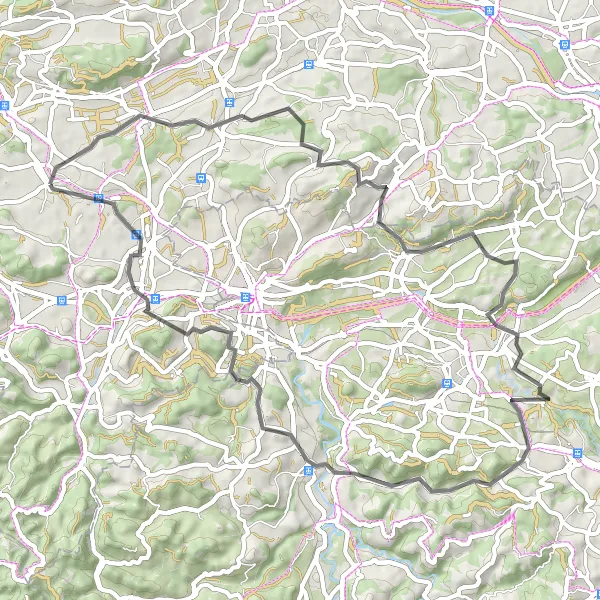
Embark on a 57-km road cycling adventure through the stunning landscapes of Tobel and Wilen bei Wil. With a demanding ascent of 881 meters, this route is recommended for seasoned cyclists looking for a challenge. The highlights along the route include Tobel (7 km), Braunauer Berg (10 km), Lenggenwil (21 km), Geissberg (24 km), Winzenberg (36 km), Oberrindal (36 km), Wilen bei Wil (47 km), Jubla Turm Sirnach (50 km), Rosental (55 km), and Dammbüel (57 km). Enjoy panoramic views, picturesque valleys, and charming villages as you explore the beauty of this region.
road
57 km
881 m
Savage
Route profile
Highlights on the route
0 km
0 km
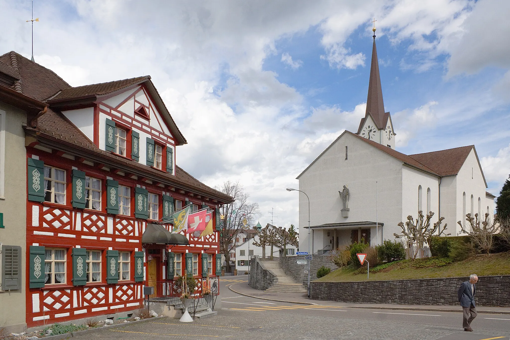
Start: Wängi Village centerWängi: Discovering Swiss landscapes and tackling the epic Säntis climb.
Wängi, situated in the Ostschweiz region of Switzerland, is a haven for road and gravel cyclists. Nestled amidst stunning Swiss landscapes, Wängi offers a variety of cycling routes suited for all skill levels. From rolling hills to challenging mountain passes, cyclists can revel in the region's natural beauty while traversing well-maintained roads. A notable cycling spot near Wängi is Säntis, a legendary climb popular among professional riders. Cyclists visiting Wängi can enjoy scenic rides, Swiss hospitality, and a true sense of cycling camaraderie.7 km
7 km
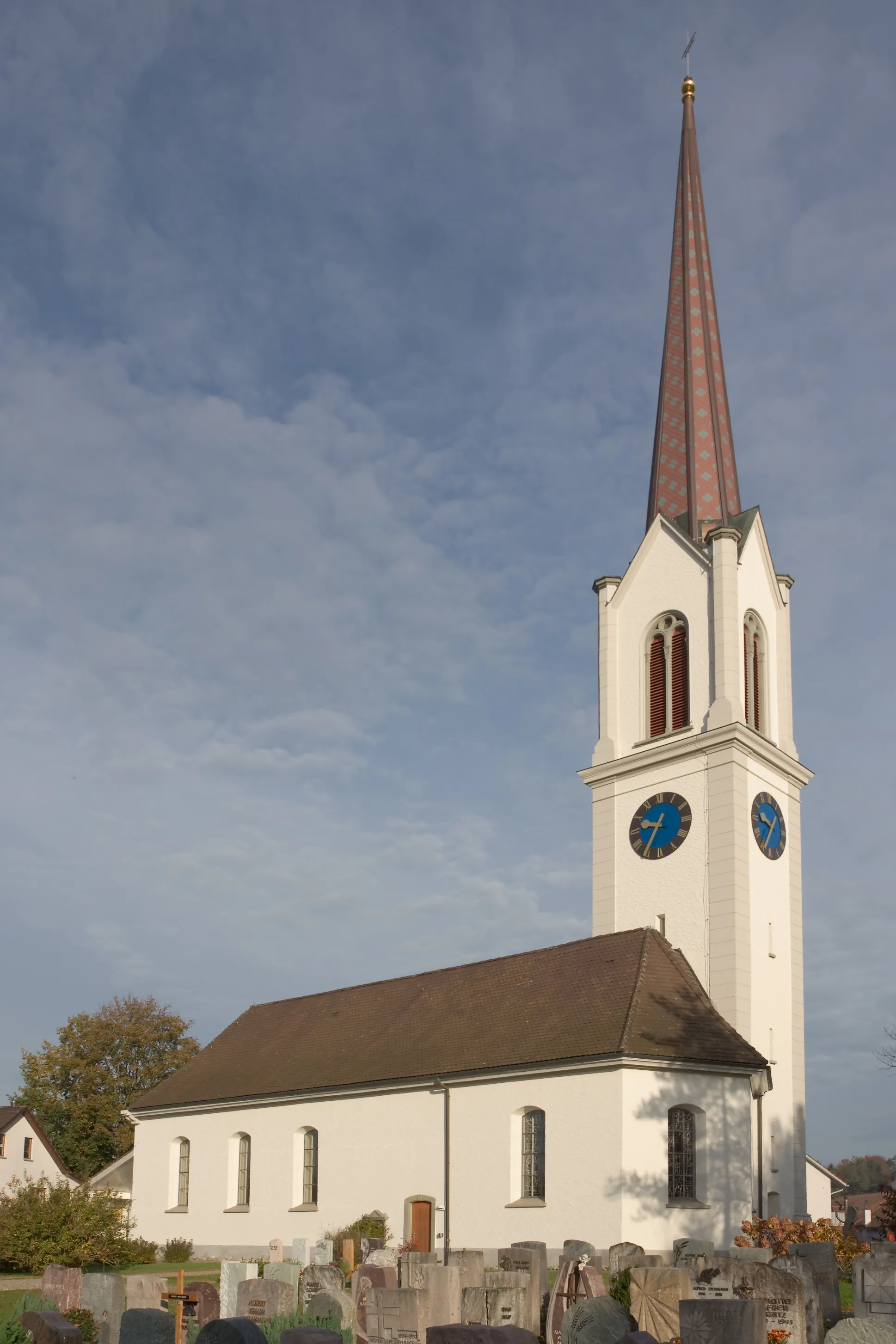
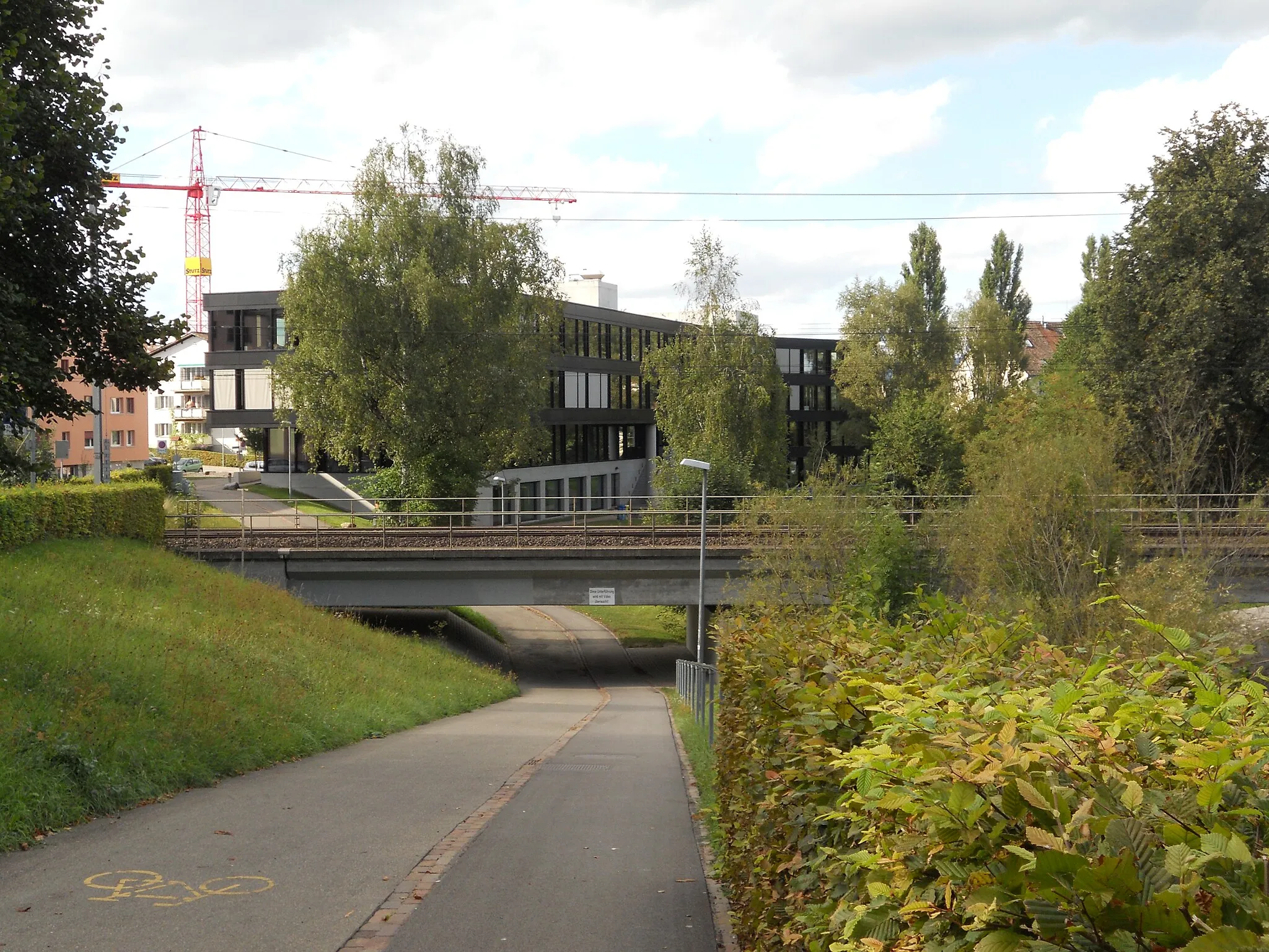
TobelVillageTobel is a scenic village nestled amidst rolling hills and lush green meadows.
10 km
10 km
Braunauer Berg724 mPeakBraunauer Berg is a challenging climb offering breathtaking views of the surrounding mountains.
21 km
21 km
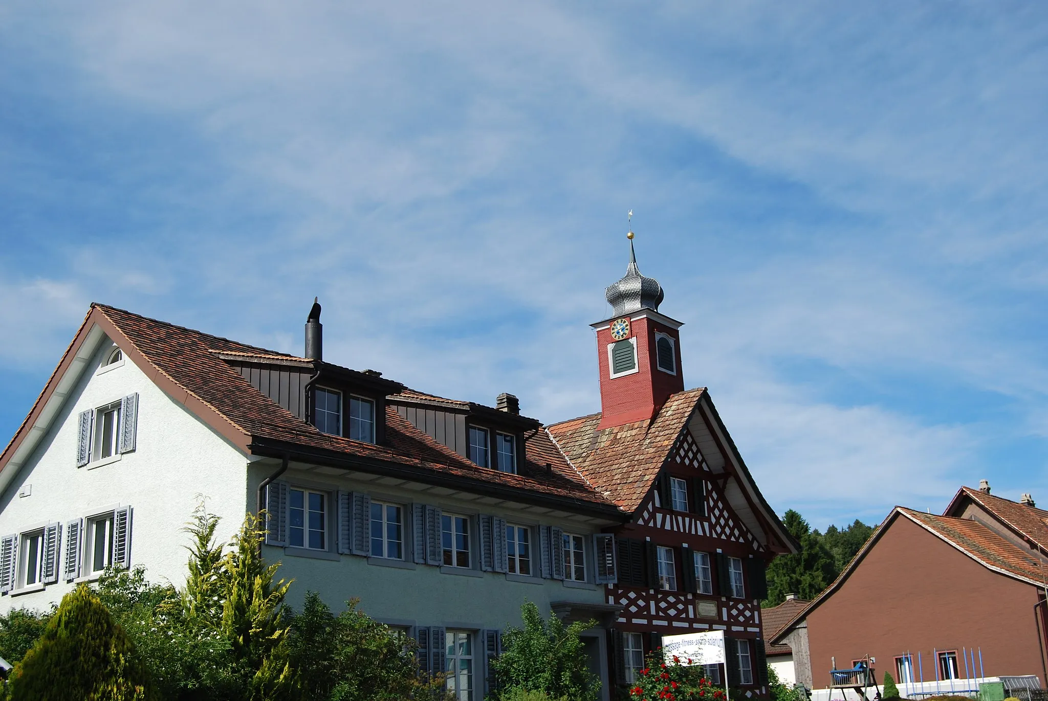
LenggenwilVillageLenggenwil is a picturesque village known for its traditional architecture and idyllic countryside.
24 km
24 km
Geissberg595 mPeakGeissberg is a scenic mountain with panoramic views of the surrounding landscapes and charming hiking trails.
36 km
36 km
WinzenbergViewpointWinzenberg is a historic castle ruin located on a hill, offering spectacular views of the region.
36 km
36 km
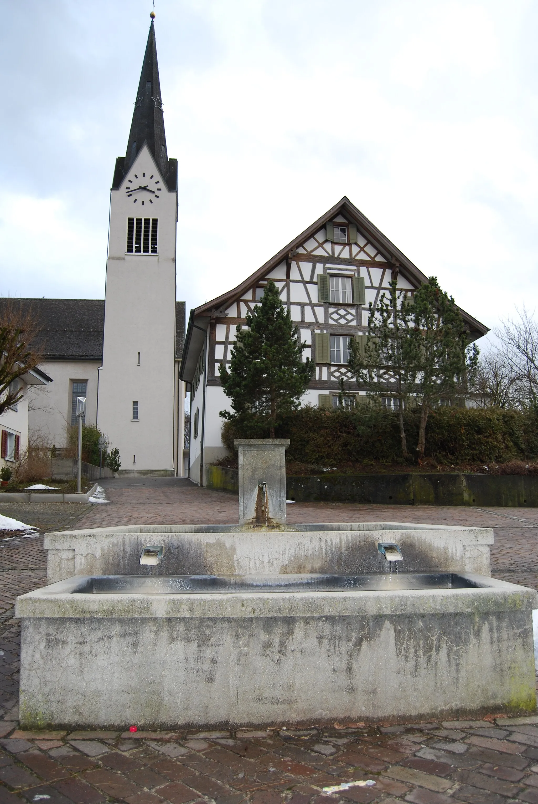
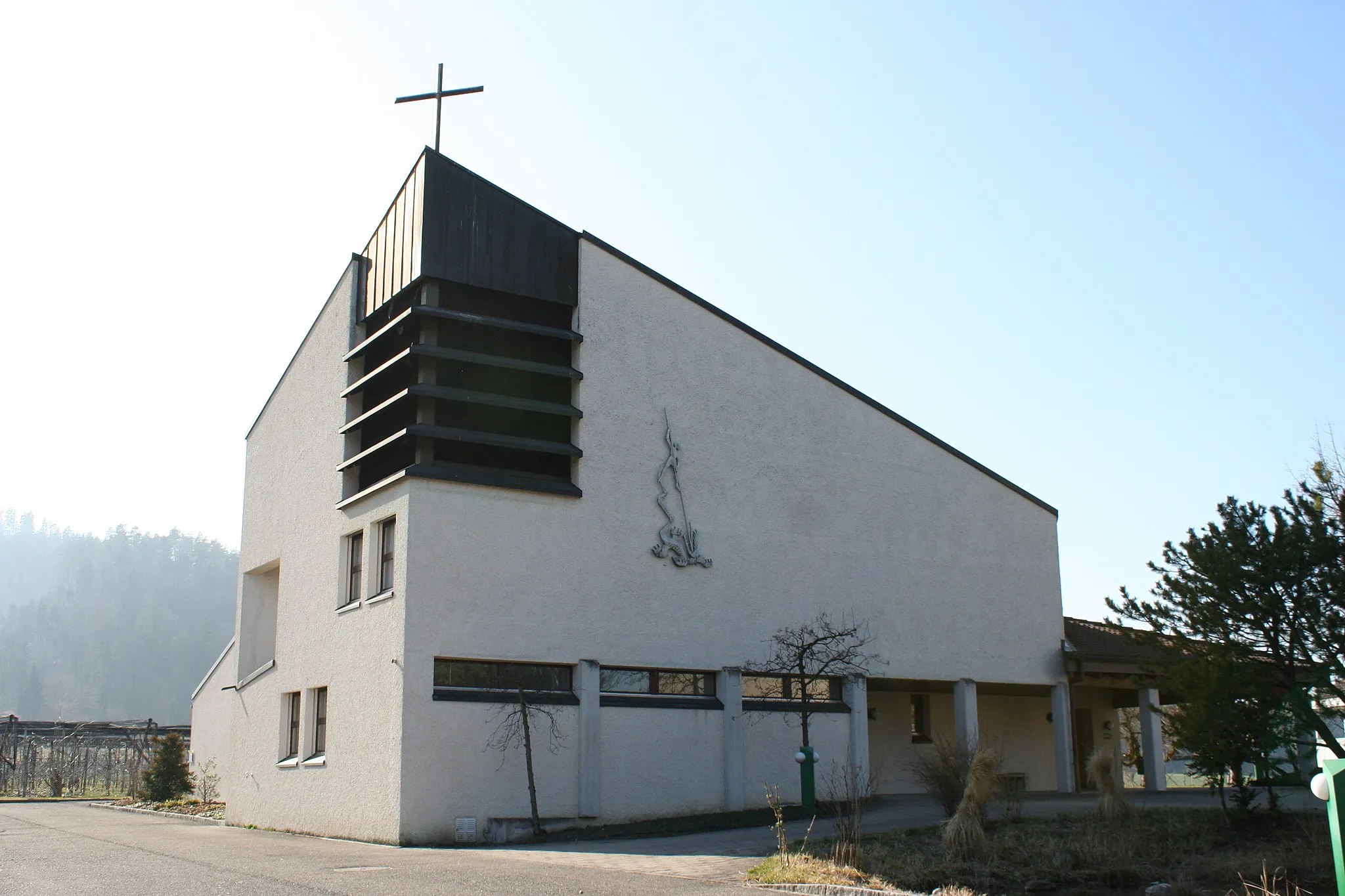
OberrindalVillageOberrindal is a quaint village with traditional Swiss architecture and a peaceful atmosphere.
47 km
47 km
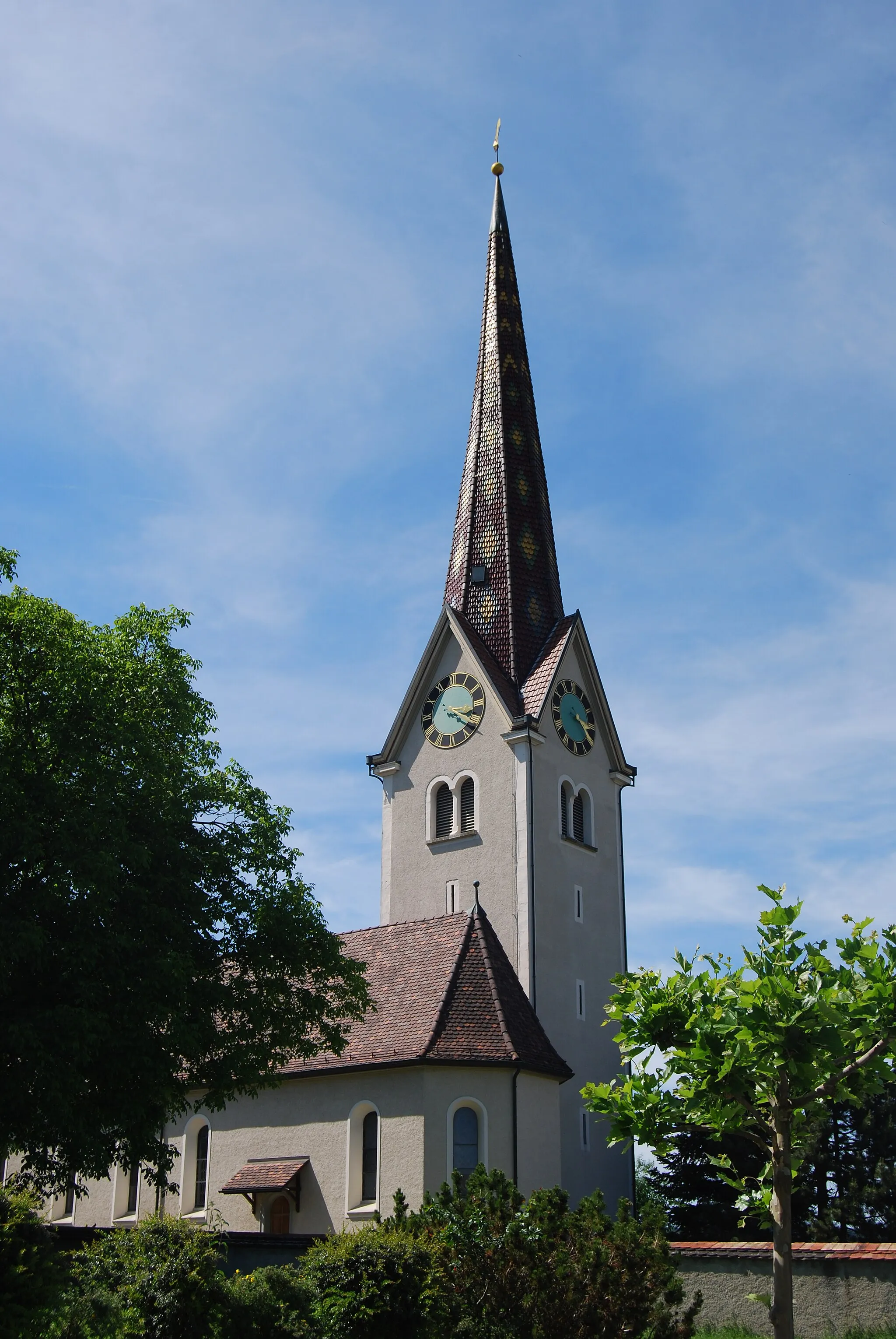
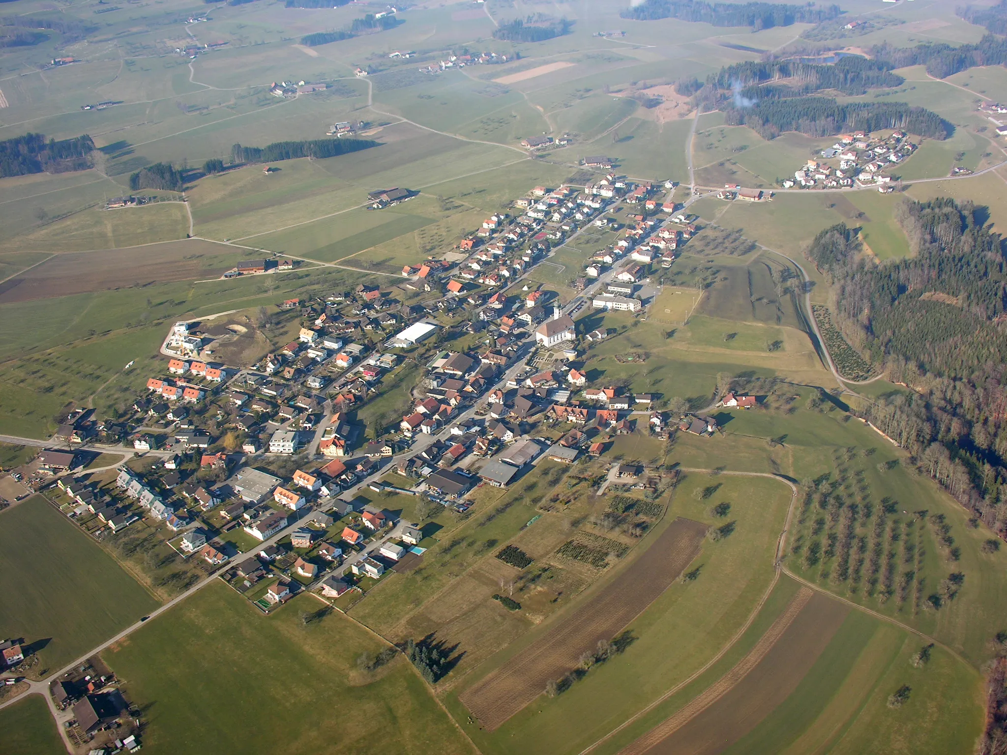
Wilen bei WilVillageWilen bei Wil is a charming town with well-preserved historic buildings and a picturesque setting.
50 km
50 km
Jubla Turm SirnachViewpointJubla Turm Sirnach is a popular cultural landmark offering panoramic views of the surrounding countryside.
55 km
55 km
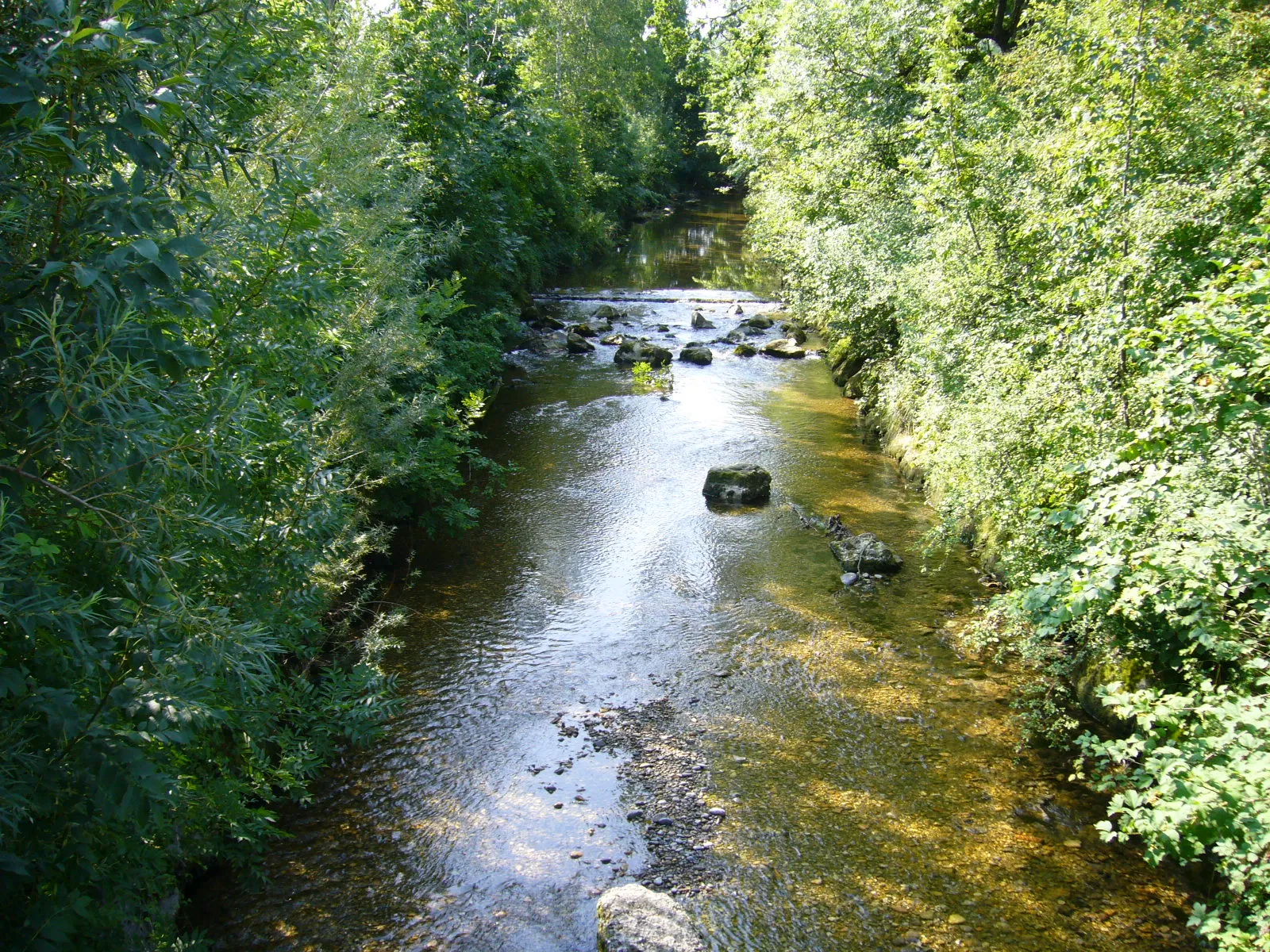
RosentalHamletRosental is a scenic valley known for its picturesque landscapes and peaceful hiking trails.
57 km
57 km
DammbüelViewpointDammbüel is a legendary cycling spot famous for its challenging climb and breathtaking views at the summit.
57 km
57 km
Finish: Wängi Village centerWängi: Discovering Swiss landscapes and tackling the epic Säntis climb.
Cycling routes nearby: