Thur Valley Gravel Adventure
A gravel cycling route starting from Zuzwil
Embark on an exciting gravel adventure along the Thur river in the Ostschweiz region.
Map
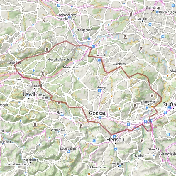
The Thur Valley Gravel Adventure is a 58 km cycling route that combines beautiful natural landscapes with challenging terrain. With an ascent of 1125 meters, this route is suitable for experienced gravel riders. Highlights along the route include the confluence of Sitter and Thur rivers, Bischofszell, Waldkirch, Schlössli Haggen, Herisau, Oberbüren, and Geissberg.
gravel
58 km
1125 m
Tough
Route profile
Highlights on the route
0 km
0 km
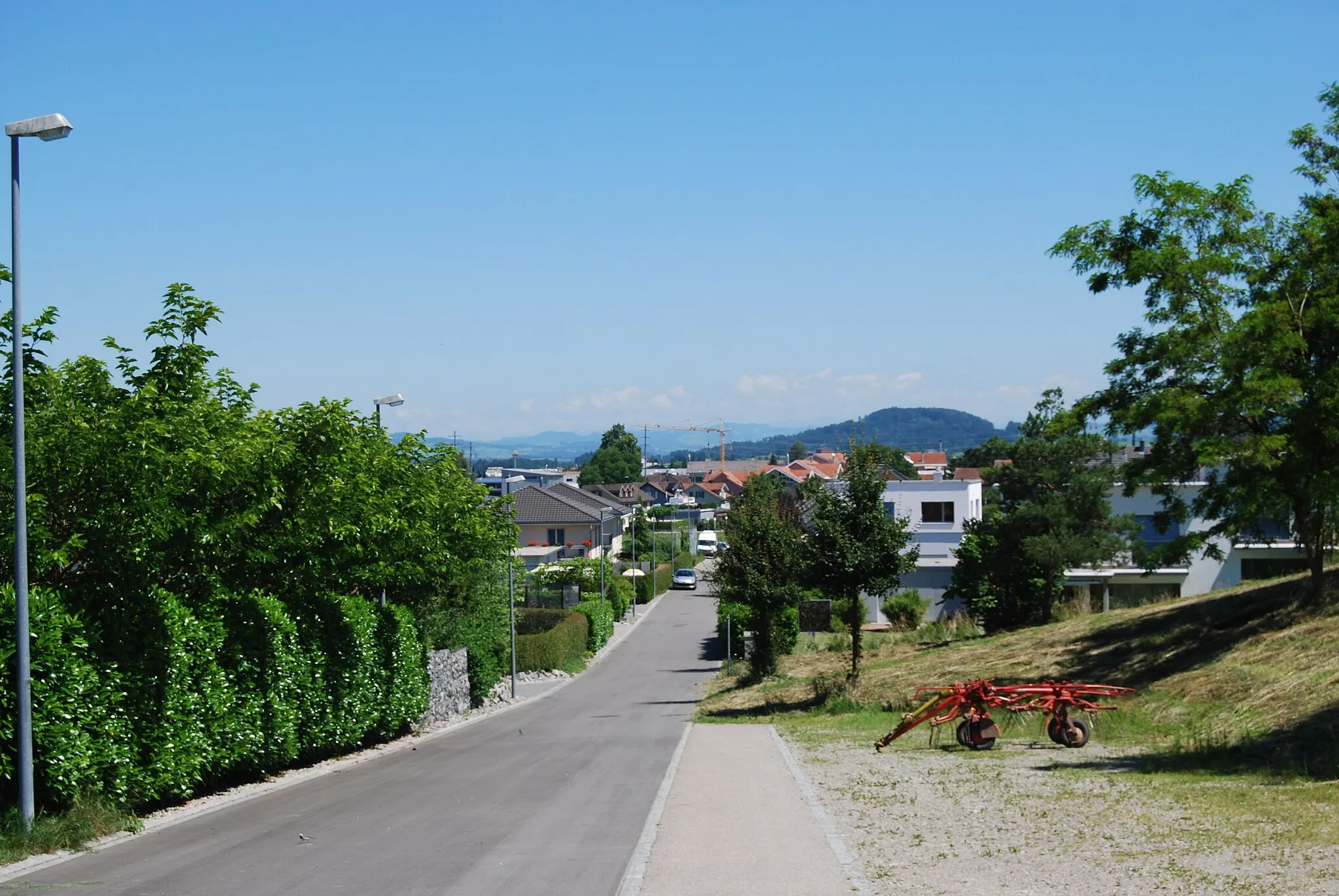
Start: Zuzwil SG Village centerZuzwil: Peaceful rides through scenic Ostschweiz countryside
Zuzwil is a municipality located in the Ostschweiz region of Switzerland. As a road and gravel cyclist, you can expect to find some enjoyable routes in the surrounding area. The roads in Zuzwil and the surrounding region are well-maintained and provide a mix of flat and hilly sections. While there are no famous cycling spots or well-known climbs in immediate proximity, the countryside offers beautiful scenery and peaceful rides. Zuzwil is a great destination for cyclists looking to explore the charm of Swiss countryside on two wheels.10 km
10 km
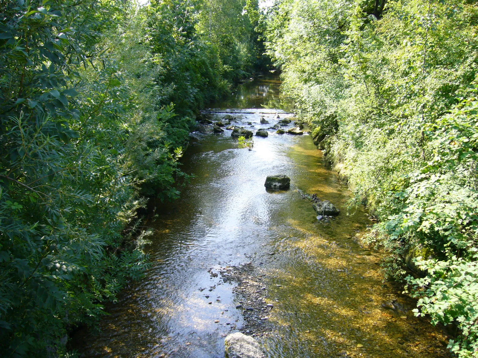
Mündung Sitter in ThurViewpointThe confluence of Sitter and Thur rivers is an impressive natural site.
11 km
11 km
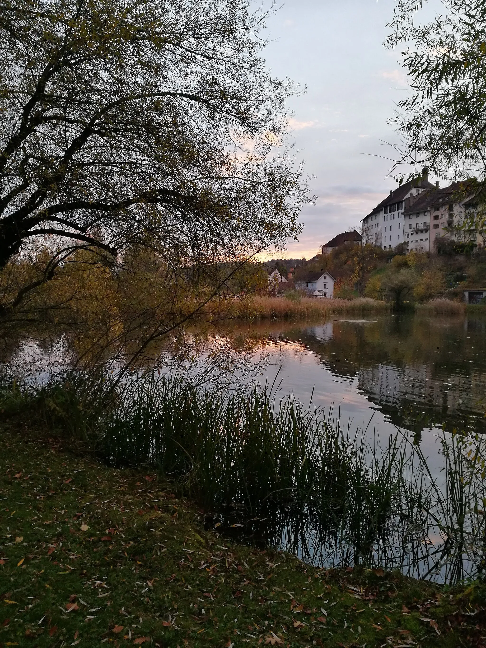
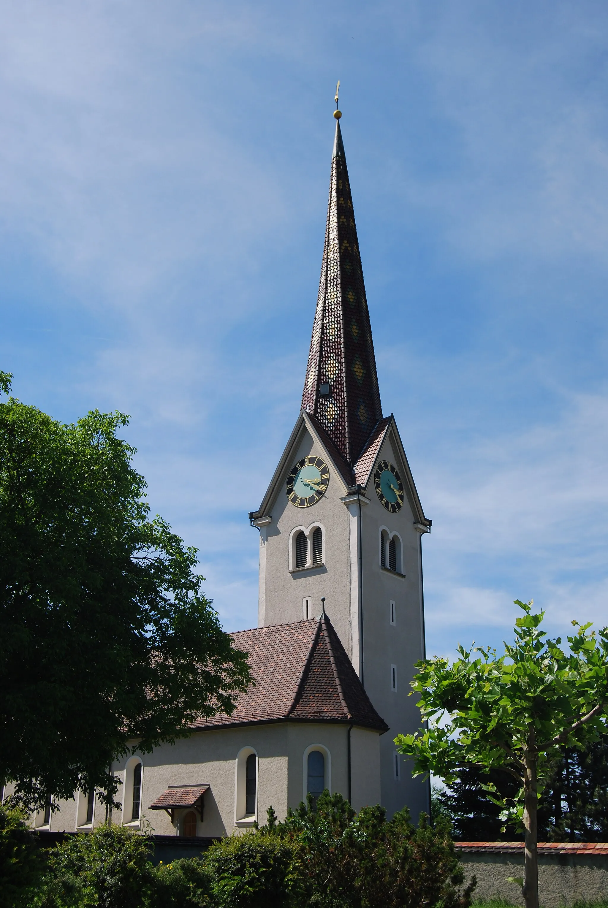
BischofszellVillageBischofszell is a charming town with a historic center.
18 km
18 km
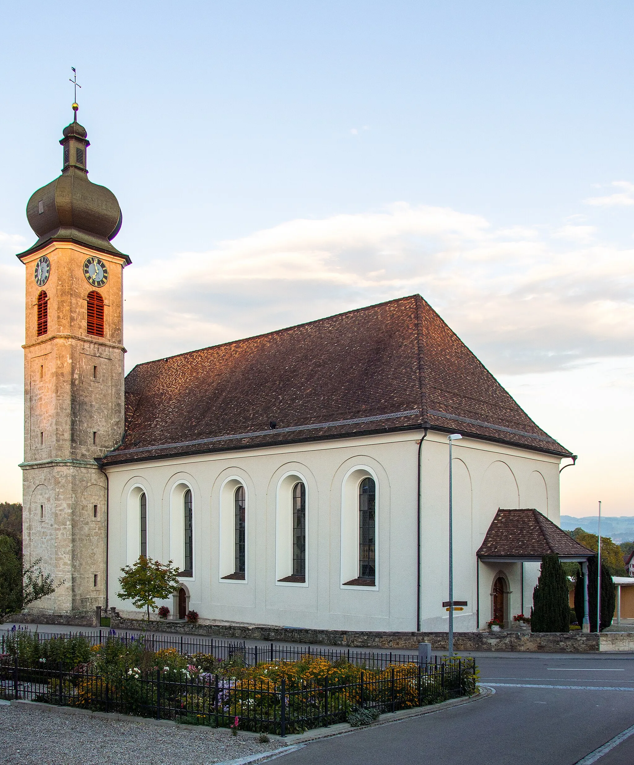
WaldkirchVillageWaldkirch is known for its beautiful surrounding forests and hiking trails.
32 km
32 km
Schlössli HaggenCastleSchlössli Haggen is a medieval castle with stunning views.
39 km
39 km
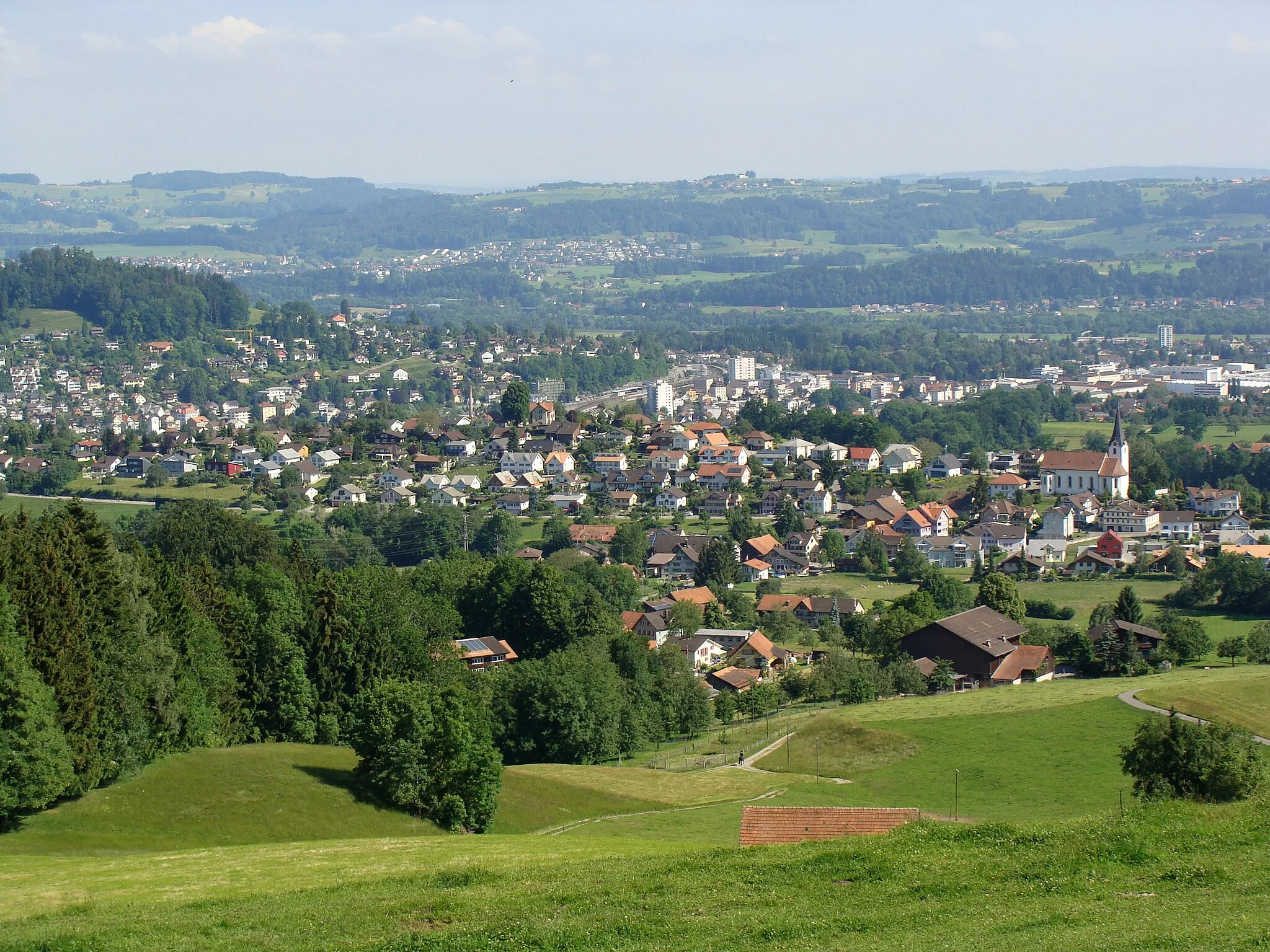
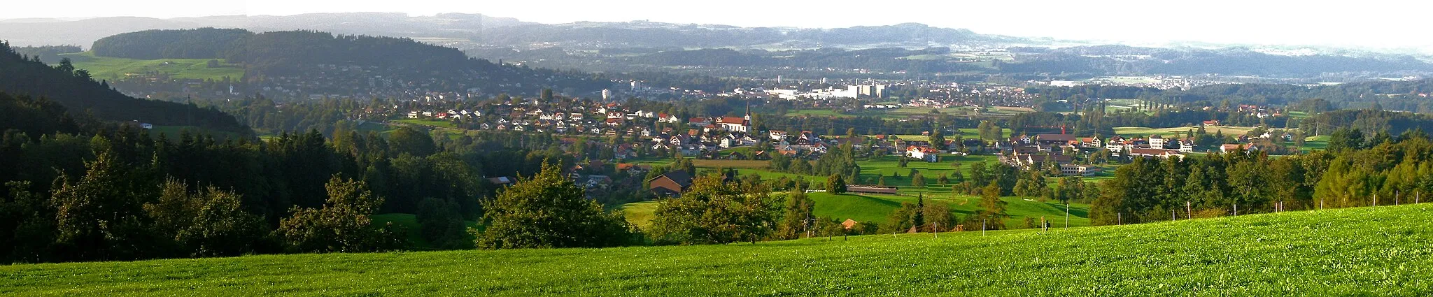
HerisauTownHerisau is the capital of the Appenzell Ausserrhoden canton, known for its Appenzeller cheese.
52 km
52 km
OberbürenSub-urbOberbüren offers a unique blend of rural charm and modern amenities.
54 km
54 km
Geissberg595 mPeakGeissberg is a legendary climb for cyclists, offering stunning views at the top.
58 km
58 km
Finish: Zuzwil SG Village centerZuzwil: Peaceful rides through scenic Ostschweiz countryside
Cycling routes nearby: