Cycling through Swiss vineyards and scenic landscapes.
Cycling routes from Echallens
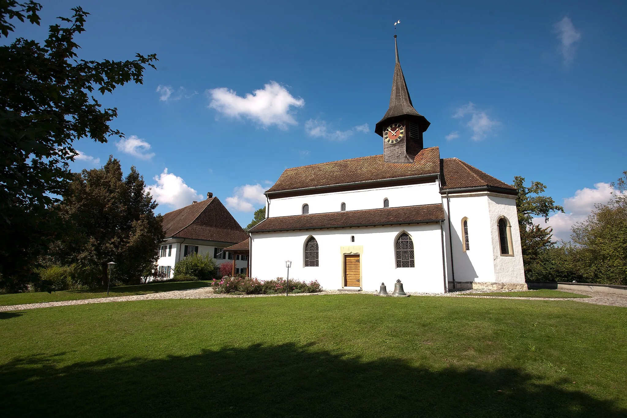
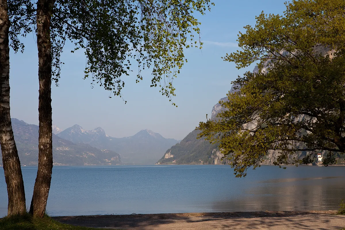
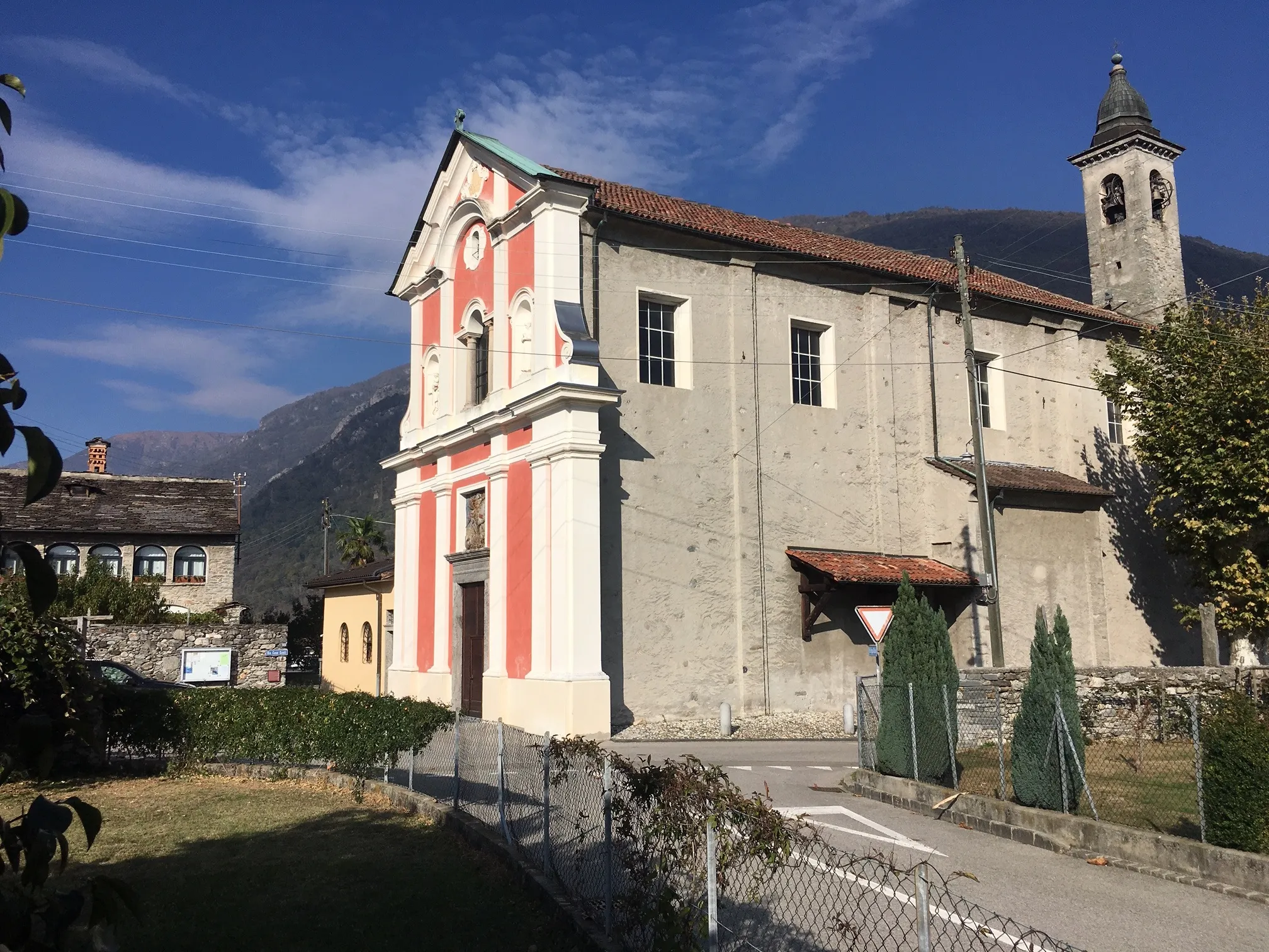
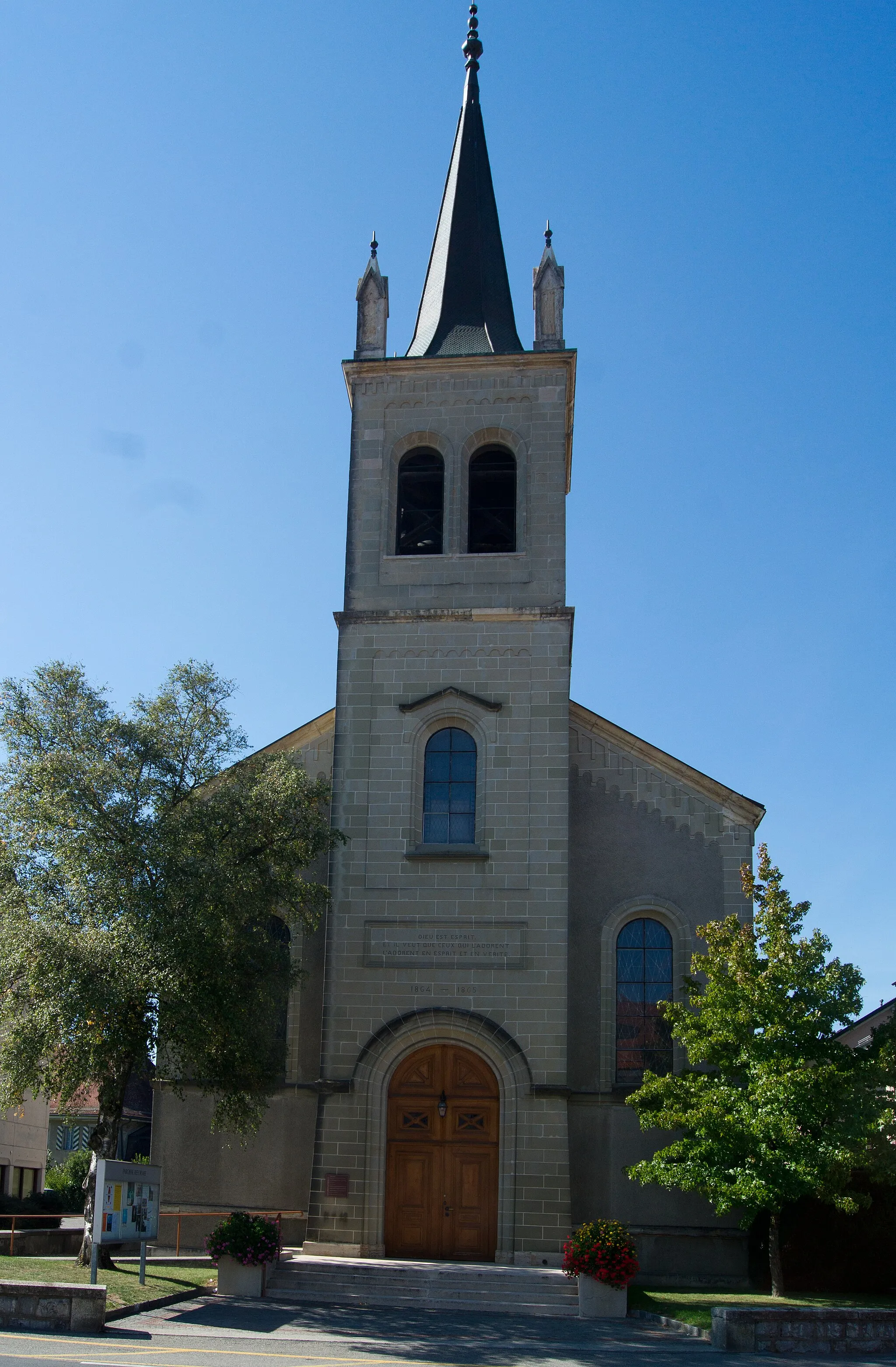
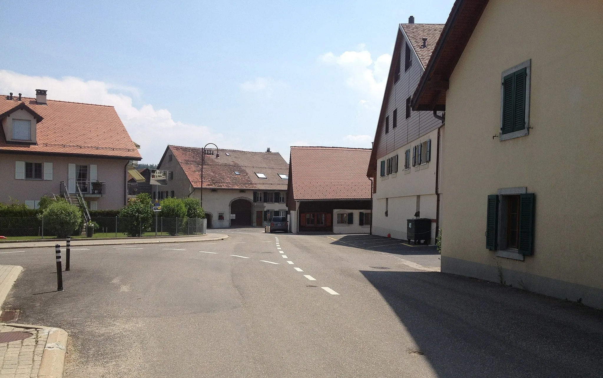
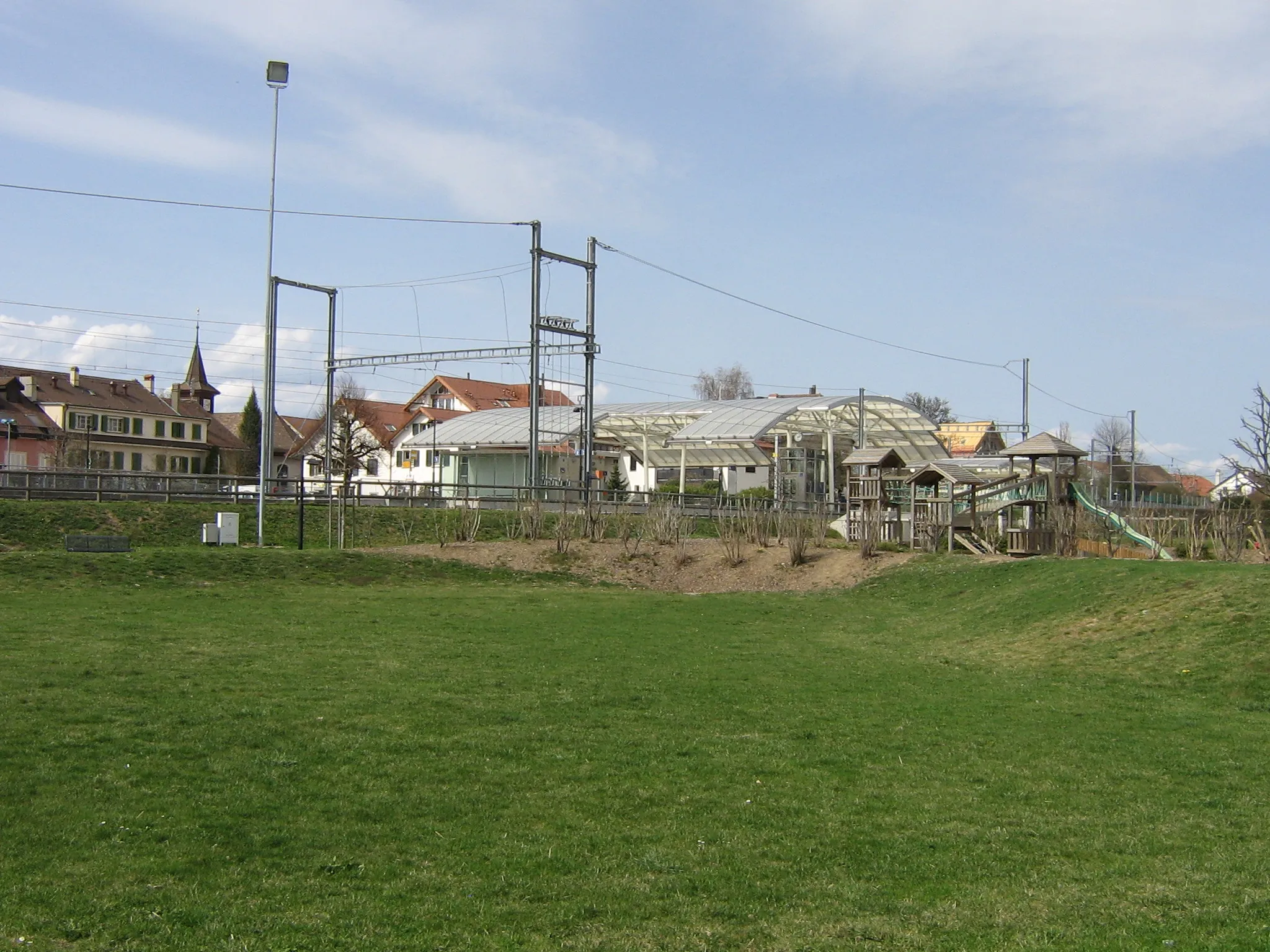
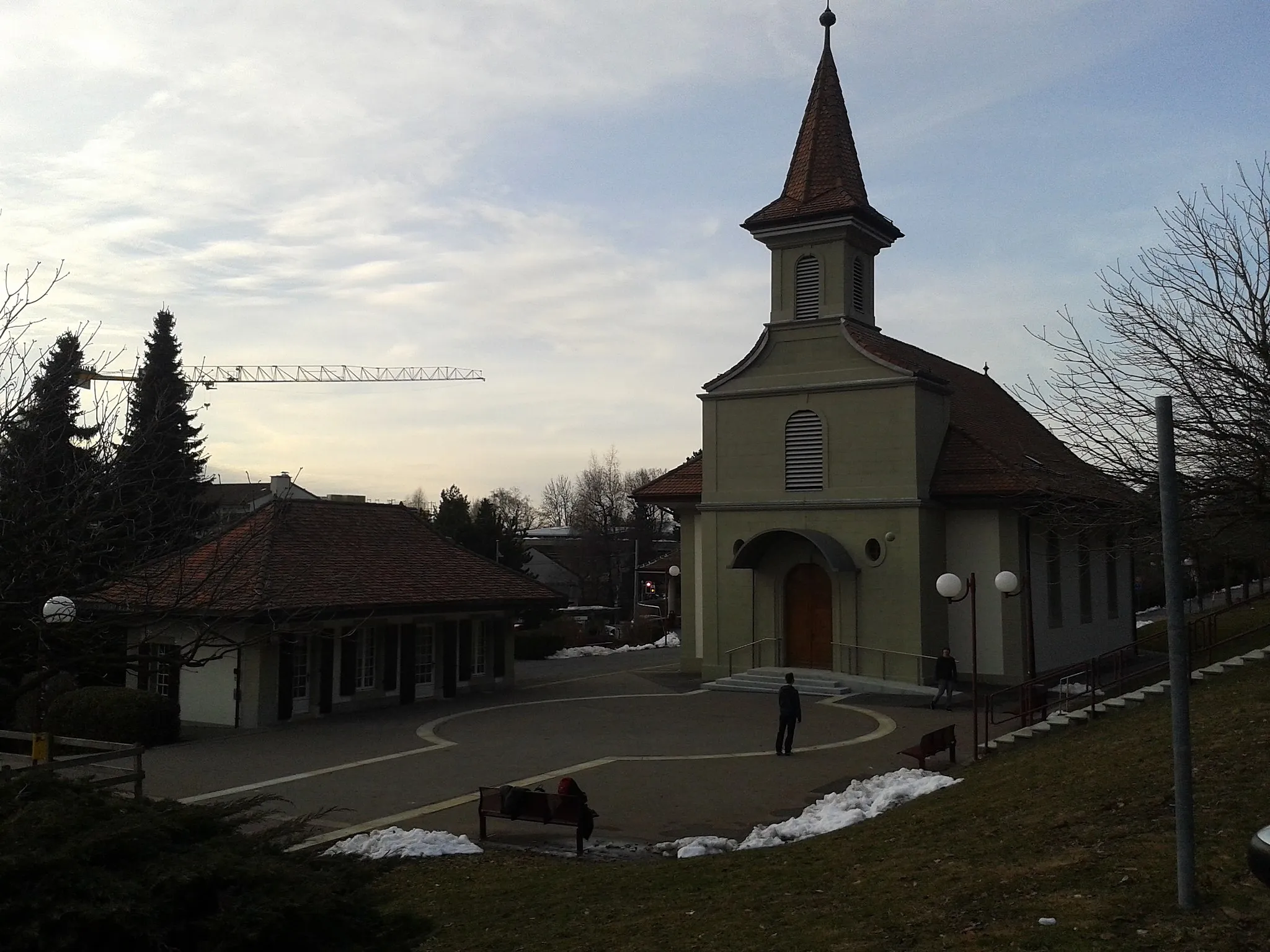
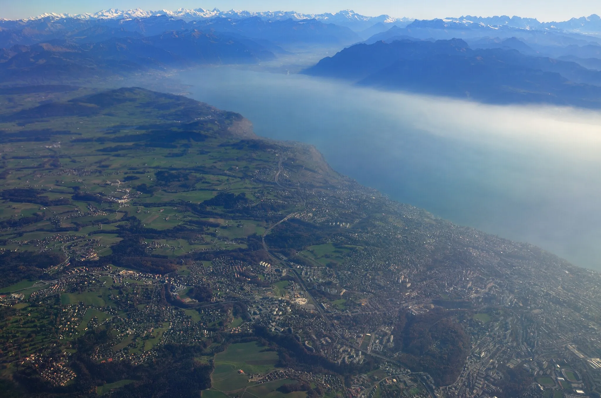
Echallens is a charming locality situated in the Région lémanique of Switzerland. Road and gravel cyclists will find Echallens to be a great starting point for their cycling adventures. The region offers a mix of flat terrains and gently rolling hills, making it suitable for cyclists of all levels. While cycling around Echallens, riders can enjoy the scenic views of vineyards, picturesque towns, and the breathtaking Lake Geneva. One of the must-visit spots for cyclists is the famous Col de la Croix, a challenging climb with stunning panoramic views at the summit. With its cycling-friendly infrastructure and picturesque surroundings, Echallens is a top choice for cycling enthusiasts and tourists alike.
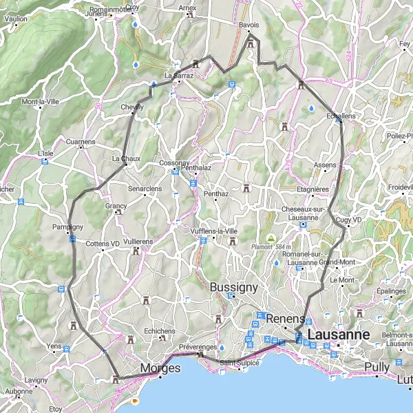
Experience the countryside charm from Renens to Mormont
Embark on a scenic road cycling route from Renens to Mormont and immerse yourself in the charm of the Swiss countryside. The route covers a distance of 65 kilometers with an ascent of 802 meters, offering a moderate challenge for cyclists.
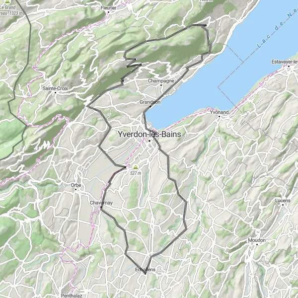
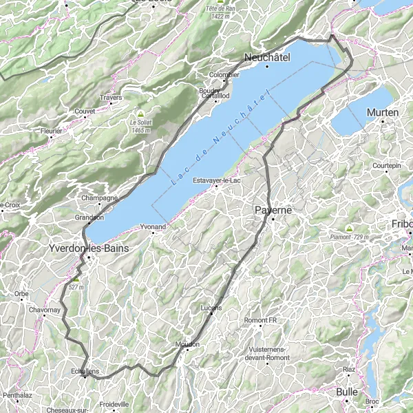
A scenic road cycling route from Ependes to Yverdon-les-Bains
This road cycling route takes you on a scenic journey from Ependes to Yverdon-les-Bains. Along the way, you will encounter beautiful landscapes, charming towns, and challenging ascents. The route covers a distance of 91 kilometers with an ascent of 1445 meters.
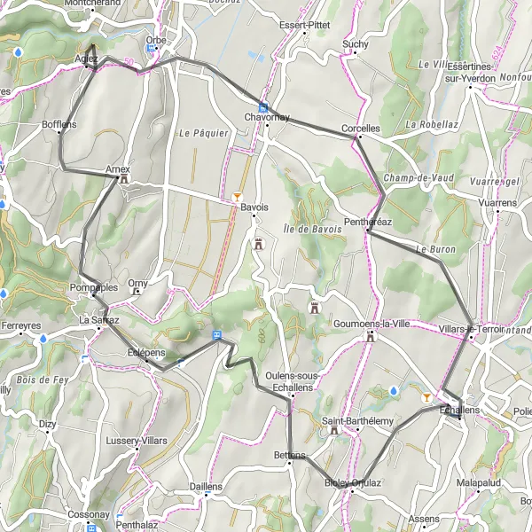
Embark on a road cycling tour to Bioley-Orjulaz and Agiez, exploring the scenic beauty of the region
This road cycling tour offers the perfect opportunity to experience the scenic beauty of the region, with highlights including Bioley-Orjulaz and Agiez. With a total distance of 44 kilometers and an ascent of 507 meters, this route is suitable for intermediate-level cyclists. Enjoy the stunning landscapes as you cycle along quiet roads and pass through charming villages. The highlights of this tour include Bioley-Orjulaz with its picturesque Swiss chalets, Agiez with its stunning lake views, and, of course, the starting and ending point of Echallens.

Discover the scenic beauty of Martherenges and other charming villages on this gravel route near Echallens
This gravel route takes you through picturesque countryside near Echallens, passing by the beautiful village of Martherenges. Enjoy the peacefulness of the rural landscape as you cycle along gravel paths and quiet roads. With a total distance of 77 kilometers and an ascent of 1507 meters, this route is suitable for well-trained cyclists with some off-road experience. The overall difficulty level is moderate, making it accessible to amateur cyclists willing to challenge themselves. The highlights of this ride include Martherenges, Chesalles-sur-Moudon, Saint-Martin, Servion, and, of course, Echallens.
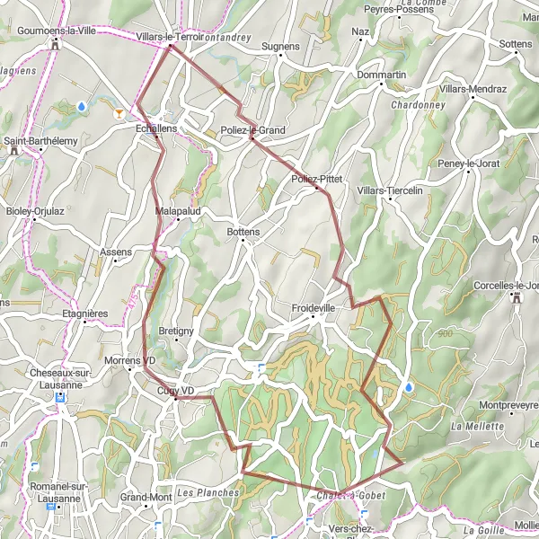
Explore the rural landscapes from Poliez-le-Grand to Villars-le-Terroir
Venture off the beaten path and discover the rural landscapes of Switzerland on this gravel cycling route from Poliez-le-Grand to Villars-le-Terroir. The route covers a distance of 32 kilometers with an ascent of 525 meters, making it an ideal choice for gravel enthusiasts looking for a moderate challenge.
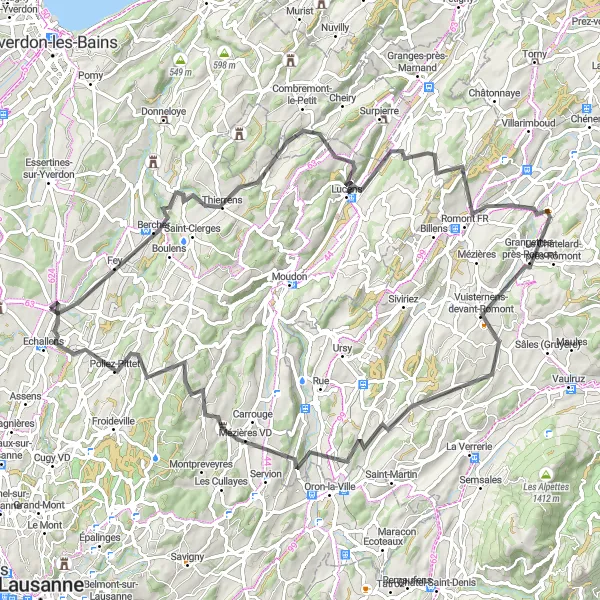
Embark on an epic road cycling adventure to Romont FR and Villars-le-Terroir, uncovering the region's natural and cultural treasures
This epic road cycling adventure takes you on a journey to explore the natural and cultural treasures of the region, with highlights including Romont FR and Villars-le-Terroir. With a total distance of 88 kilometers and an ascent of 1420 meters, this route is designed for experienced cyclists seeking a challenging and rewarding ride. Prepare yourself for stunning landscapes, picturesque villages, and historical landmarks along the way. The highlights of this adventure include Prévondavaux with its stunning castle ruins, Romont FR known for its charming old town, Vuisternens-devant-Romont offering breathtaking views, Auboranges with its picturesque setting, and Villars-le-Terroir.

Embark on an exciting gravel adventure to the charming villages of Ursins and Villars-le-Terroir near Echallens
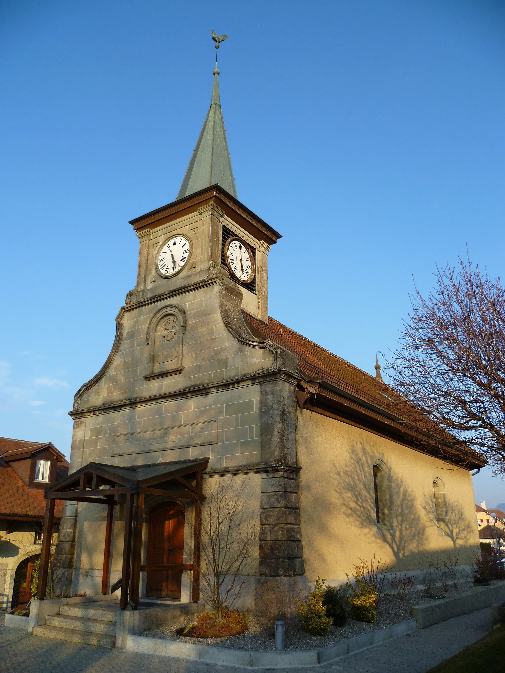
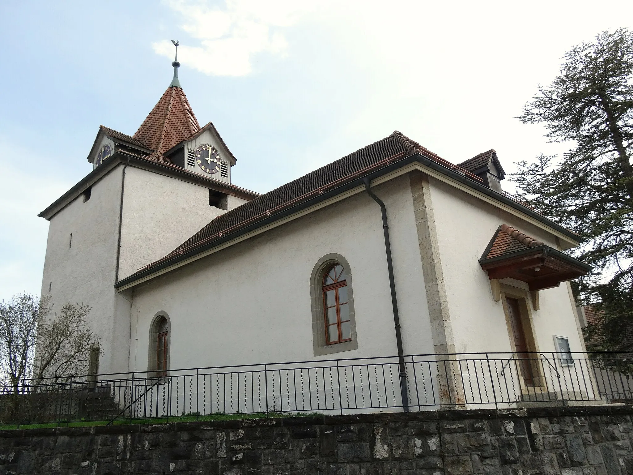
This gravel route takes you on an adventurous journey to the picturesque villages of Ursins and Villars-le-Terroir, offering stunning countryside scenery along the way. With a total distance of 42 kilometers and an ascent of 518 meters, this route is suitable for intermediate-level cyclists. The varied terrain and mix of gravel paths and quiet roads add an element of fun and challenge to the ride. The highlights of this adventure include Ursins with its beautiful church and Villars-le-Terroir, known for its charming town square. Don't miss the chance to explore these hidden gems near Echallens.

Embark on a gravel adventure from Daillens to Goumoens-la-Ville
Experience the thrill of gravel cycling on this route from Daillens to Goumoens-la-Ville. With a distance of 55 kilometers and an ascent of 862 meters, this route offers a challenging yet rewarding experience for gravel enthusiasts.
Immerse in nature on a scenic road cycling route from Étang du Buron to Payerne
Escape the hustle and bustle of the city and immerse yourself in nature on this road cycling route from Étang du Buron to Payerne. The route covers a distance of 135 kilometers with an ascent of 1191 meters, offering a challenging yet rewarding experience for cyclists.
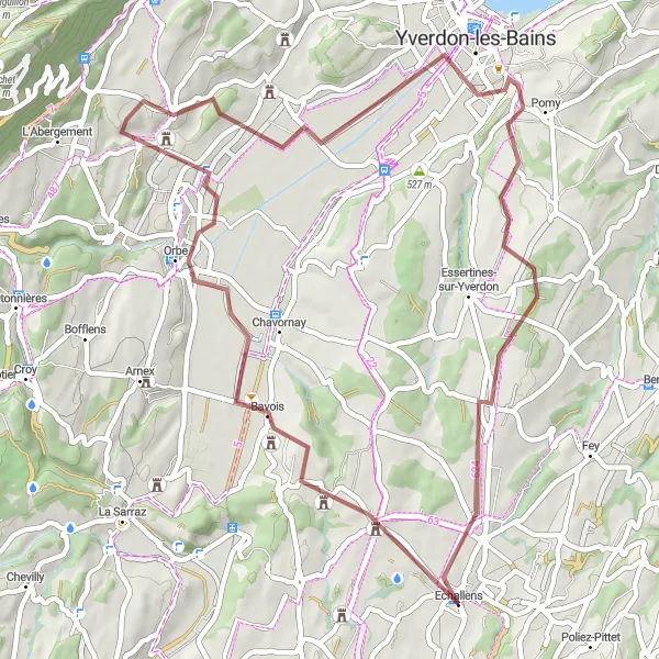
Experience the beauty of Orbe and Yverdon-les-Bains on this scenic gravel route near Echallens
This scenic gravel route takes you to the charming towns of Orbe and Yverdon-les-Bains, offering breathtaking views of the surrounding countryside. With a total distance of 54 kilometers and an ascent of 618 meters, this route is suitable for experienced cyclists looking for a picturesque adventure. The mix of gravel paths and quiet roads adds an element of challenge to the ride. The highlights of this route include Orbe with its medieval city center, Yverdon-les-Bains known for its thermal baths, and, of course, the lively town of Echallens.
Cycling routes nearby:


Nearby regions: