Troistorrents to Les Neyres
A gravel cycling route starting from Monthey
A challenging gravel cycling route from Troistorrents to Les Neyres
Map
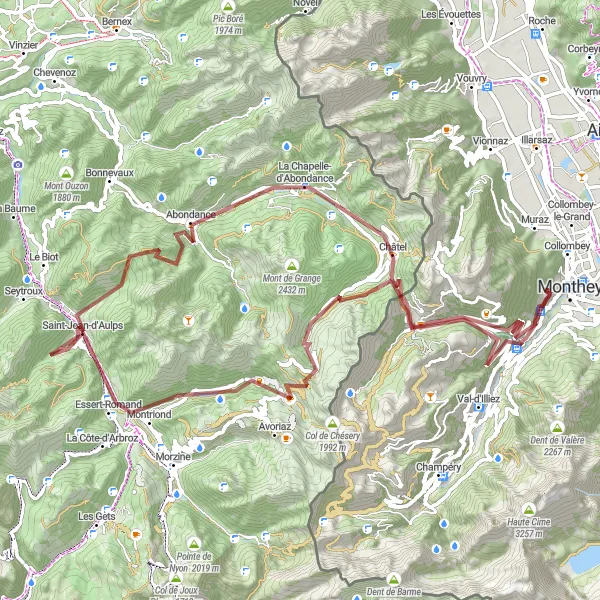
This gravel cycling route is not for the faint-hearted, with challenging ascents and descents covering a total distance of 88 km and an elevation gain of 3483 meters. The route takes you through stunning alpine landscapes, including the Cascade d'Ardent waterfall and the picturesque village of Abondance. With highlights also including the Pas de Morgins mountain pass and the Pointe des Follys, this epic route offers a true test of endurance and adventure for gravel cyclists.
gravel
88 km
3483 m
Savage
Route profile
Highlights on the route
0 km
0 km
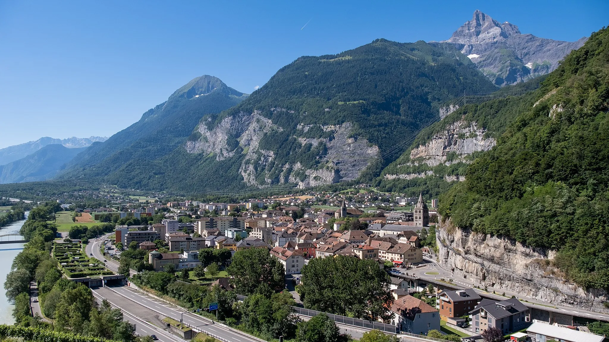
Start: Les Neyres Village centerMonthey: Cycling paradise near Lake Geneva
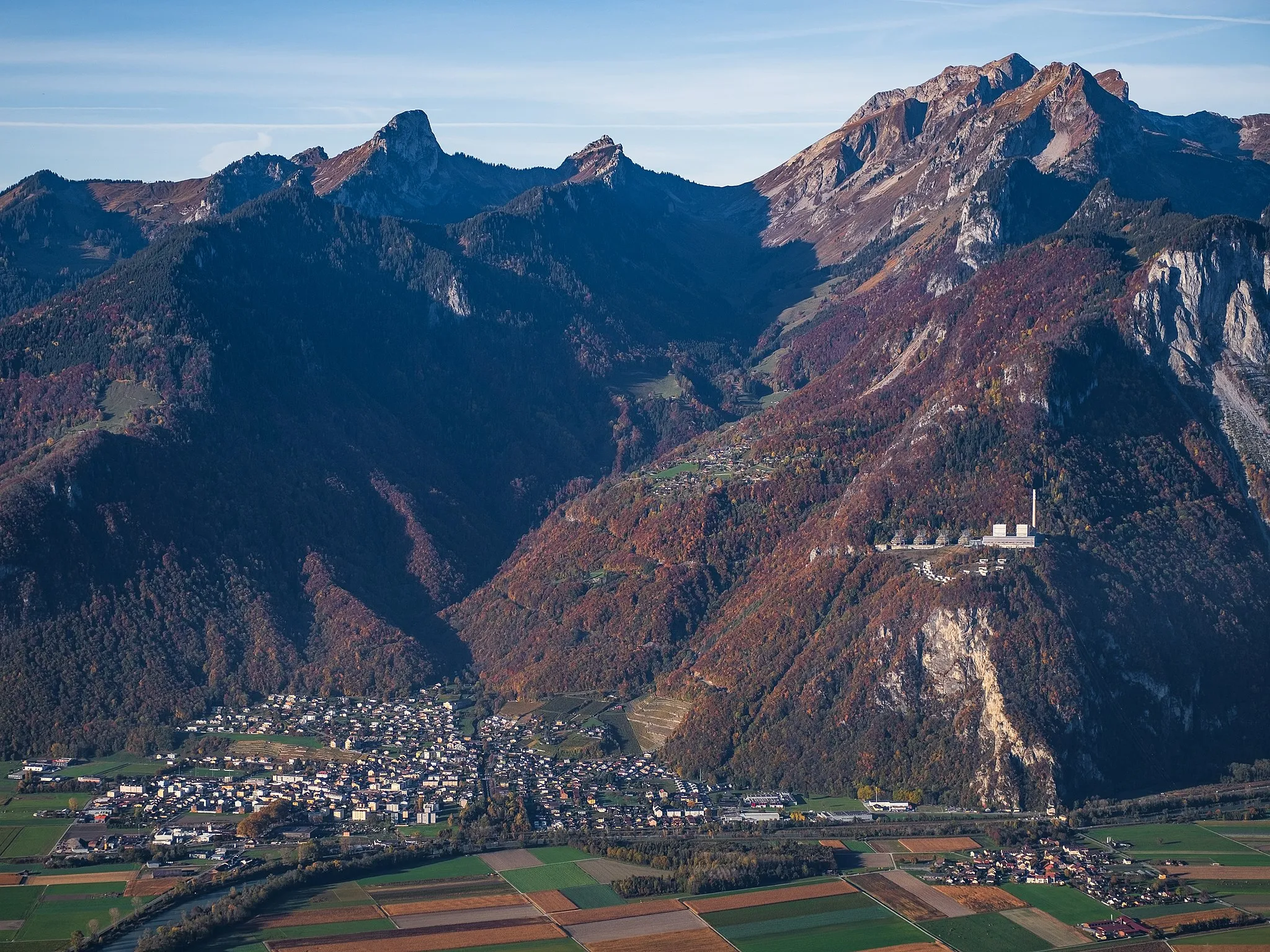
Monthey is a locality located in the Région lémanique of Switzerland. As a road and gravel cyclist, Monthey offers stunning scenery with its proximity to the beautiful Lake Geneva. The region is a cyclist's paradise with several well-marked cycling routes that offer both challenging climbs and gentle rolling hills. One famous cycling spot near Monthey is the Col de la Croix road, which offers a challenging ascent and rewards cyclists with breathtaking views at the top. Overall, Monthey is a great destination for cycling enthusiasts, offering a mix of challenging climbs and beautiful landscapes.3 km
3 km
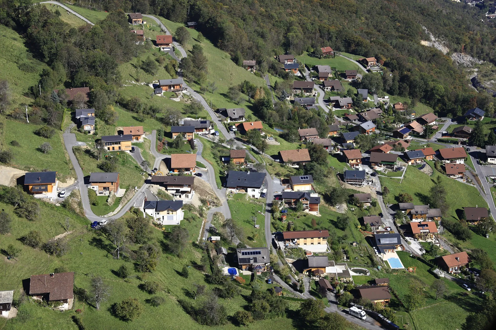
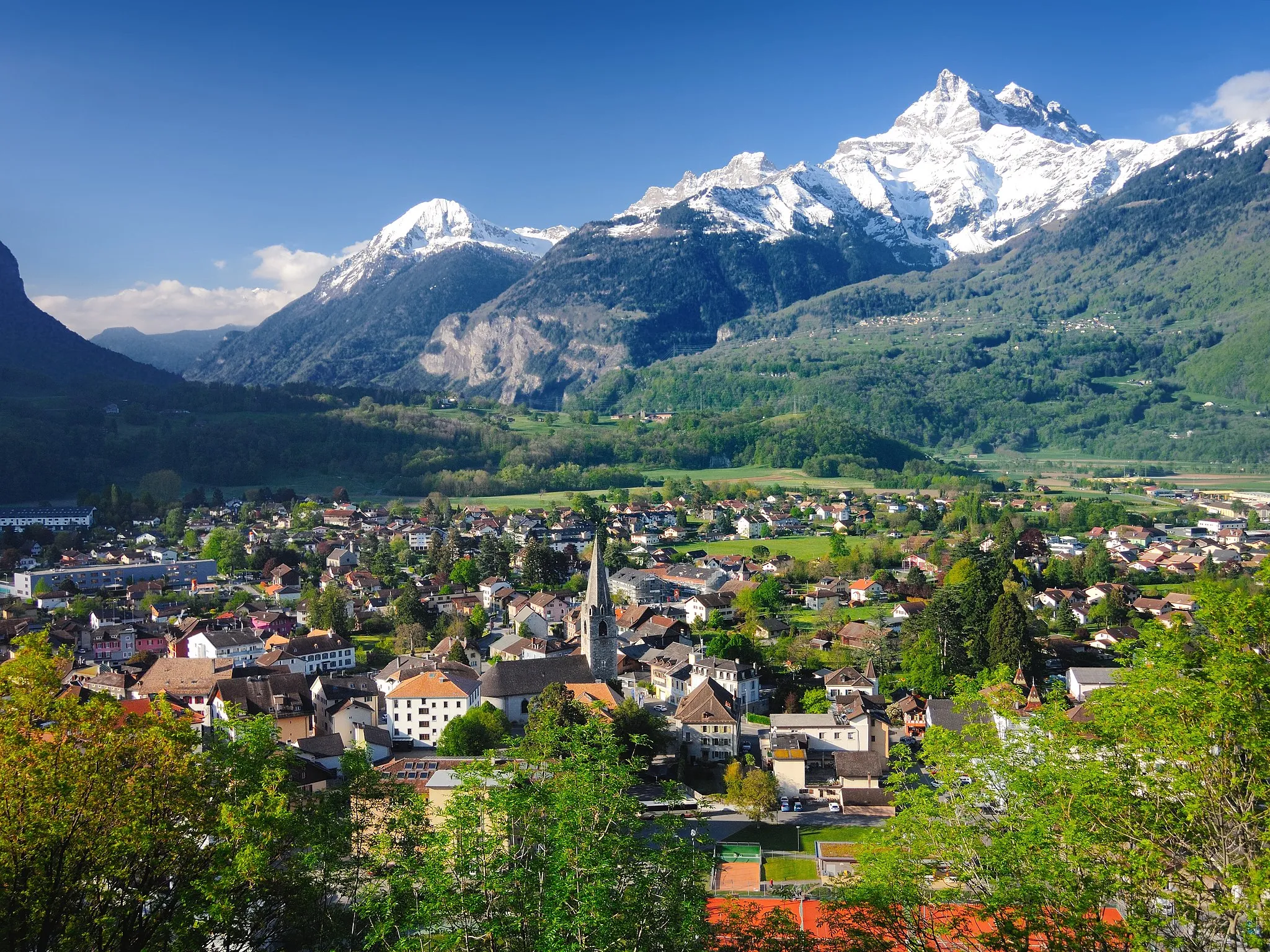
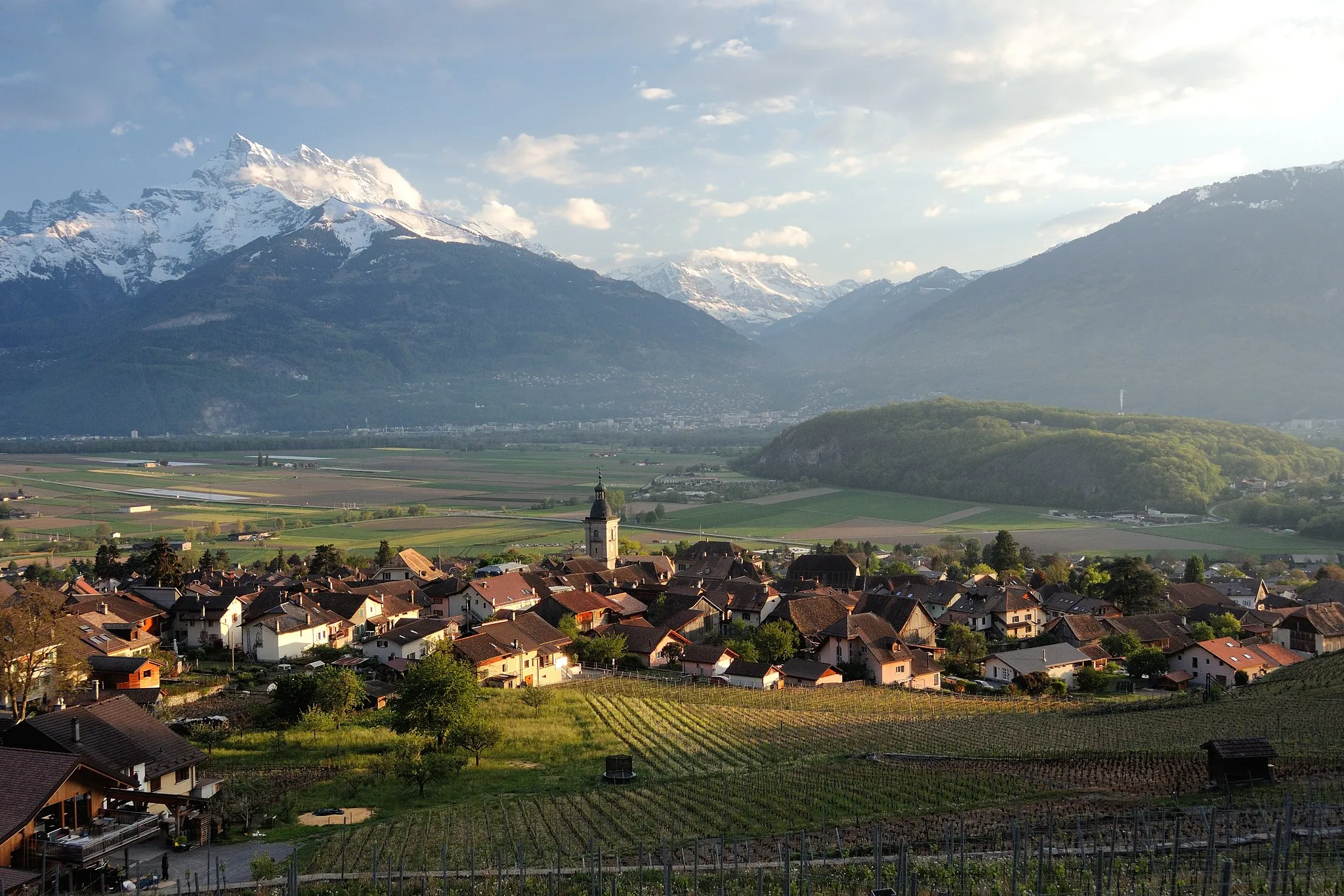
TroistorrentsVillageTroistorrents is a small alpine village located in the Valais canton, offering breathtaking views of the surrounding mountains.
13 km
13 km
Pas de Morgins1371 mMountain PassPas de Morgins is a challenging mountain pass with stunning views of the surrounding peaks.
28 km
28 km
Cascade d'ArdentViewpointThe Cascade d'Ardent is a beautiful waterfall located near the village of Montriond, offering a peaceful and picturesque spot for a rest.
36 km
36 km
Essert-RomandVillageEssert-Romand is a charming village known for its traditional Savoyard architecture and authentic Alpine atmosphere.
52 km
52 km
Pointe des Follys1675 mPeakPointe des Follys is a peak located near the village of La Chapelle-d'Abondance, offering panoramic views of the surrounding mountains and valleys.
59 km
59 km
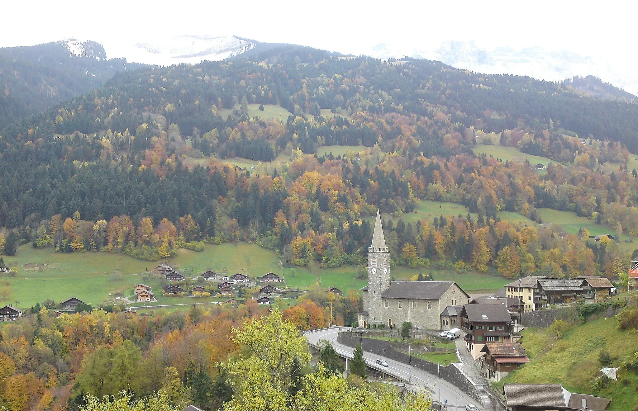
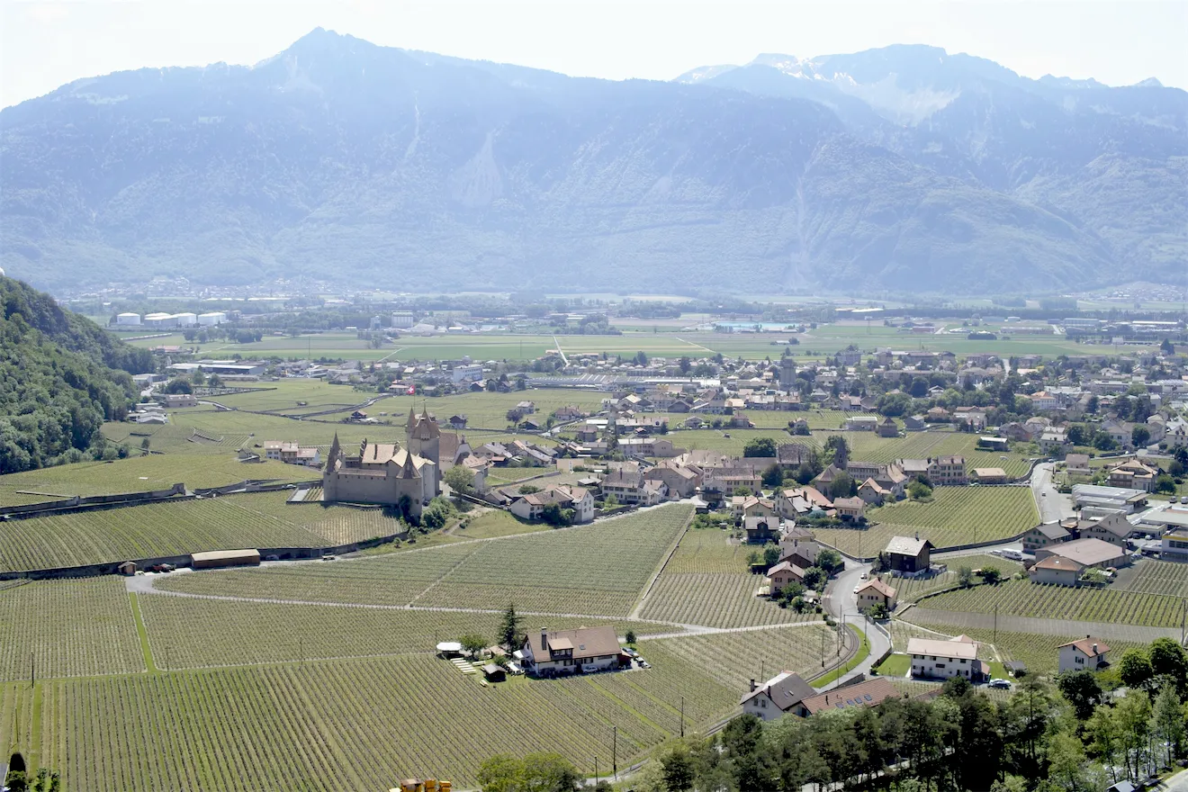
AbondanceVillageAbondance is a picturesque village known for its abbey and traditional Alpine architecture, surrounded by stunning alpine landscapes.
71 km
71 km
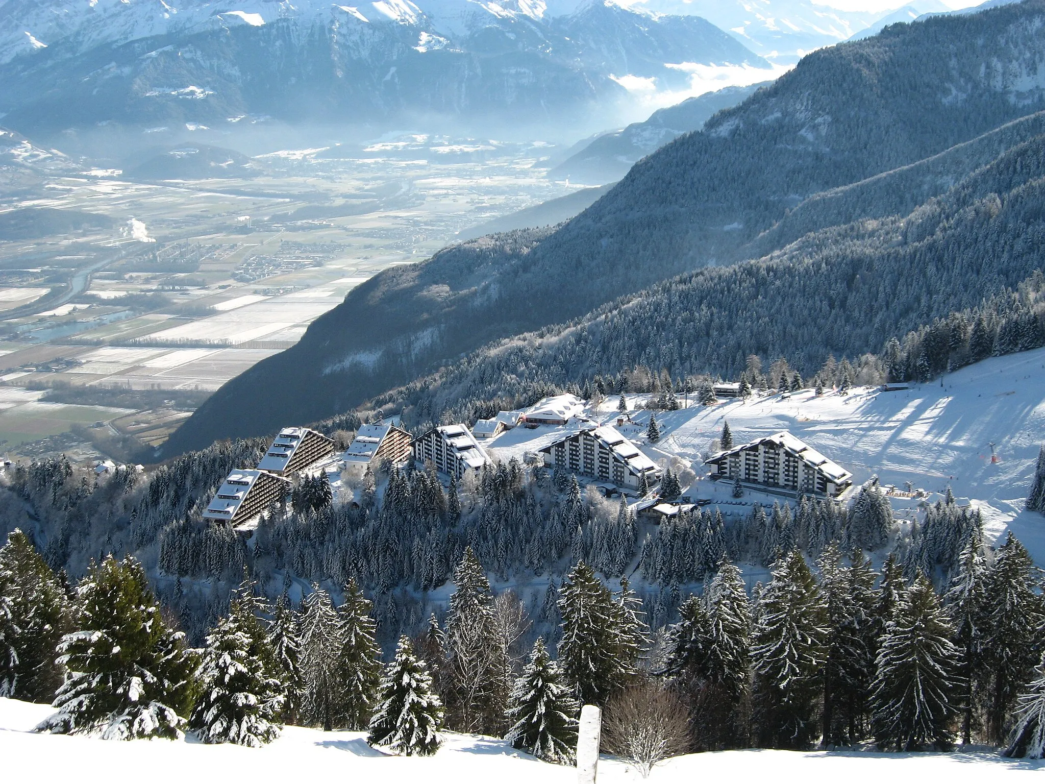
ChâtelVillageChâtel is a popular ski resort with a charming old town and access to a wide range of outdoor activities, including hiking and mountain biking.
74 km
74 km
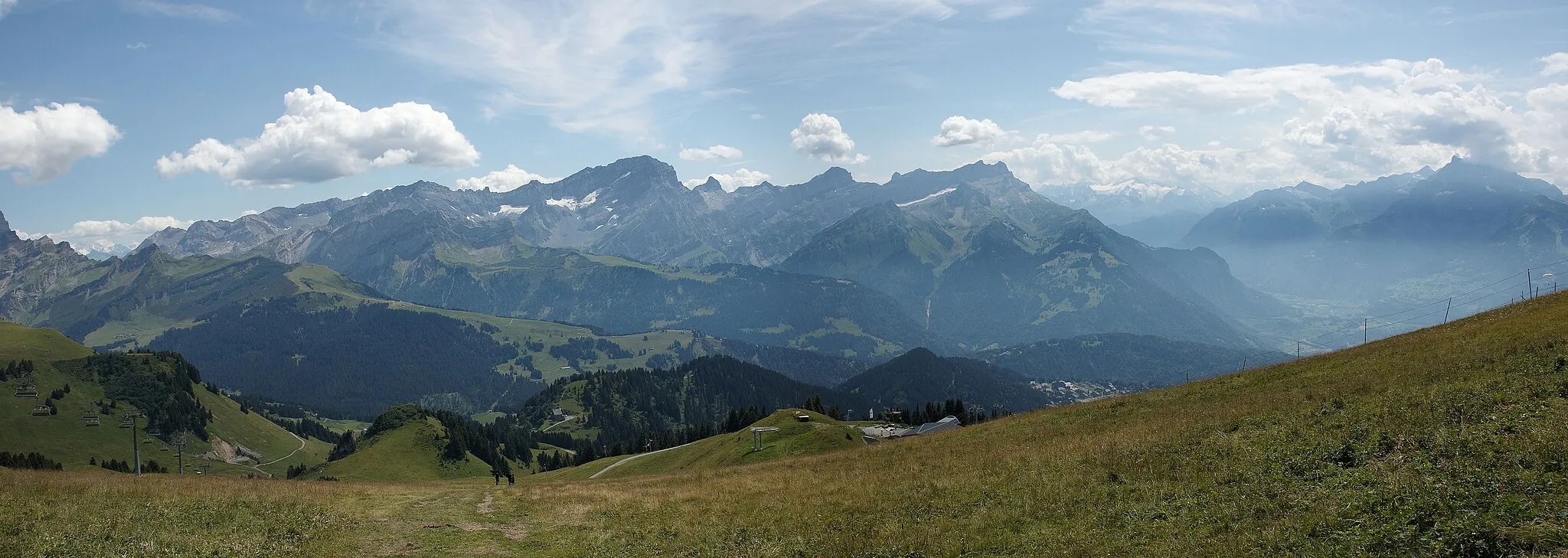
Pointe du Midi1850 mPeakPointe du Midi is a peak located near the village of La Chapelle-d'Abondance, offering breathtaking views of the Dents du Midi mountain range.
88 km
88 km
Les NeyresVillageLes Neyres is a small village located in the Portes du Soleil ski area, known for its access to extensive mountain biking trails.
88 km
88 km
Finish: Les Neyres Village centerMonthey: Cycling paradise near Lake Geneva
Cycling routes from Monthey:
Vionnaz to Manoir de Châtillon-Larringes Troistorrents to Les Neyres Saint-Maurice to Massongex Collombey to St-Triphon Gare Val-d'Illiez to Monthey Troistorrents - Pas de Morgins Loop Monthey - Aigle Round-trip Aigle - Massongex Loop Troistorrents - Collombey Gravel Adventure Through the Chablais Region Gravel Route Around Monthey
Cycling routes nearby: