The Valais Rides: Mountains and Valleys
A road cycling route starting from Naters
Immerse yourself in the stunning landscapes of Valais with this challenging road cycling route starting near Naters.
Map
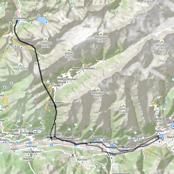
This 94-kilometer route takes you through Visp, Goppenstein, Kandersteg, Höh, Hohtenn, and back to Naters. You'll climb a total of 4,930 meters, experiencing breathtaking mountain views and picturesque valleys along the way. The route offers a variety of terrains, from challenging climbs to smooth descents, making it suitable for well-trained amateur cyclists. With highlights like Visp, which is known for its charming historic center, and Kandersteg, a popular outdoor recreation destination, this route promises both scenic beauty and cultural attractions.
road
94 km
4930 m
Tough
Route profile
Highlights on the route
0 km
0 km
Start: Brig City centerNaters: Unleash Your Cycling Adventure in Majestic Naters
Naters, located in the Région lémanique region of Switzerland, offers a variety of cycling opportunities for both road and gravel cyclists. The locality is surrounded by breathtaking mountains, lakes, and valleys, creating a perfect playground for outdoor enthusiasts. Cyclists can enjoy challenging climbs or take leisurely rides along scenic routes overlooking picturesque landscapes. Naters also offers access to famous cycling spots and well-known climbs, attracting avid cyclists seeking thrilling experiences. Overall, Naters is a cyclist's paradise with stunning natural beauty and diverse cycling routes to explore.9 km
9 km
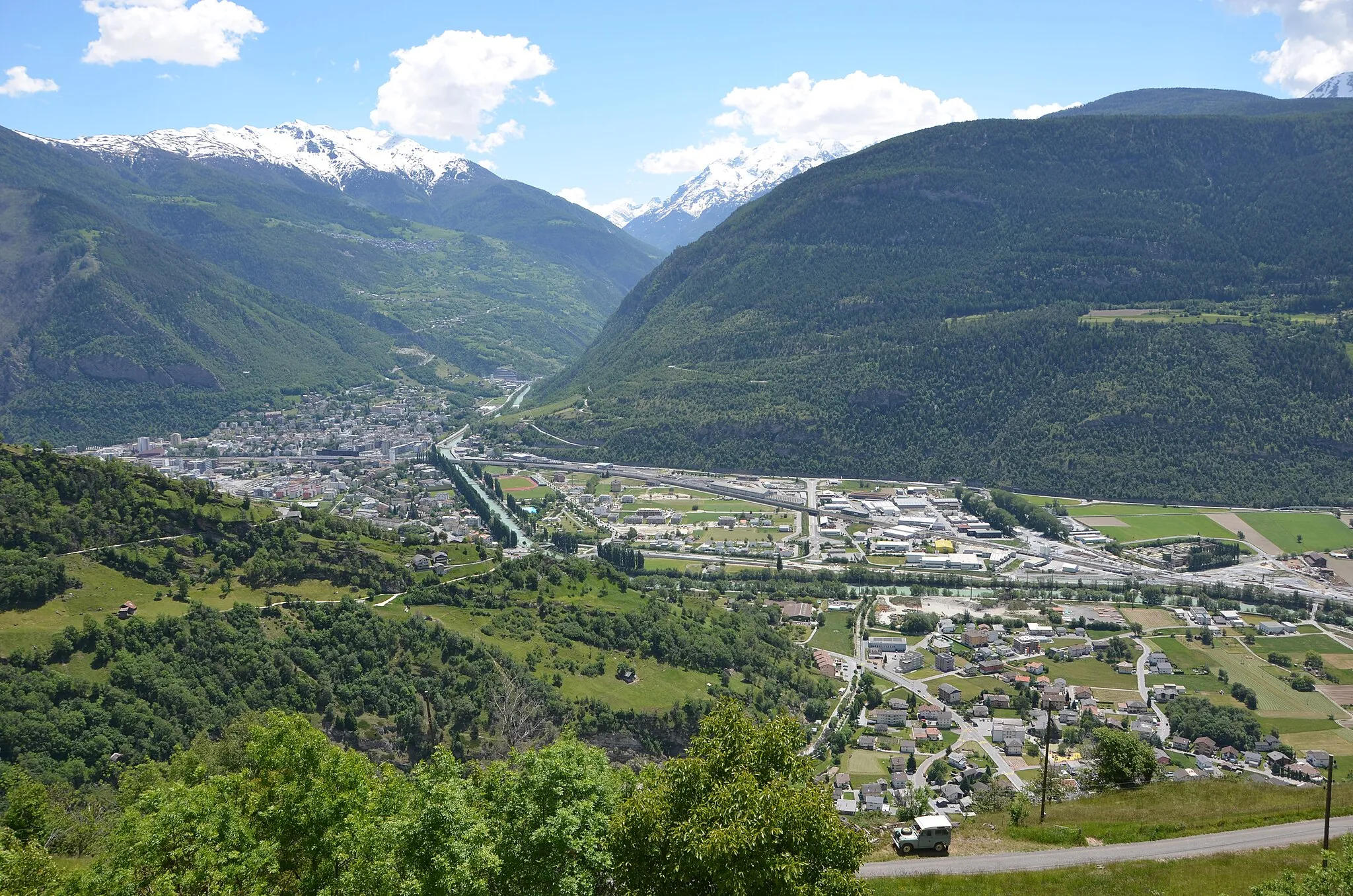
VispTownLocated in the town of Visp, this highlight offers a glimpse into the region's history and charm with its well-preserved historic center.
31 km
31 km
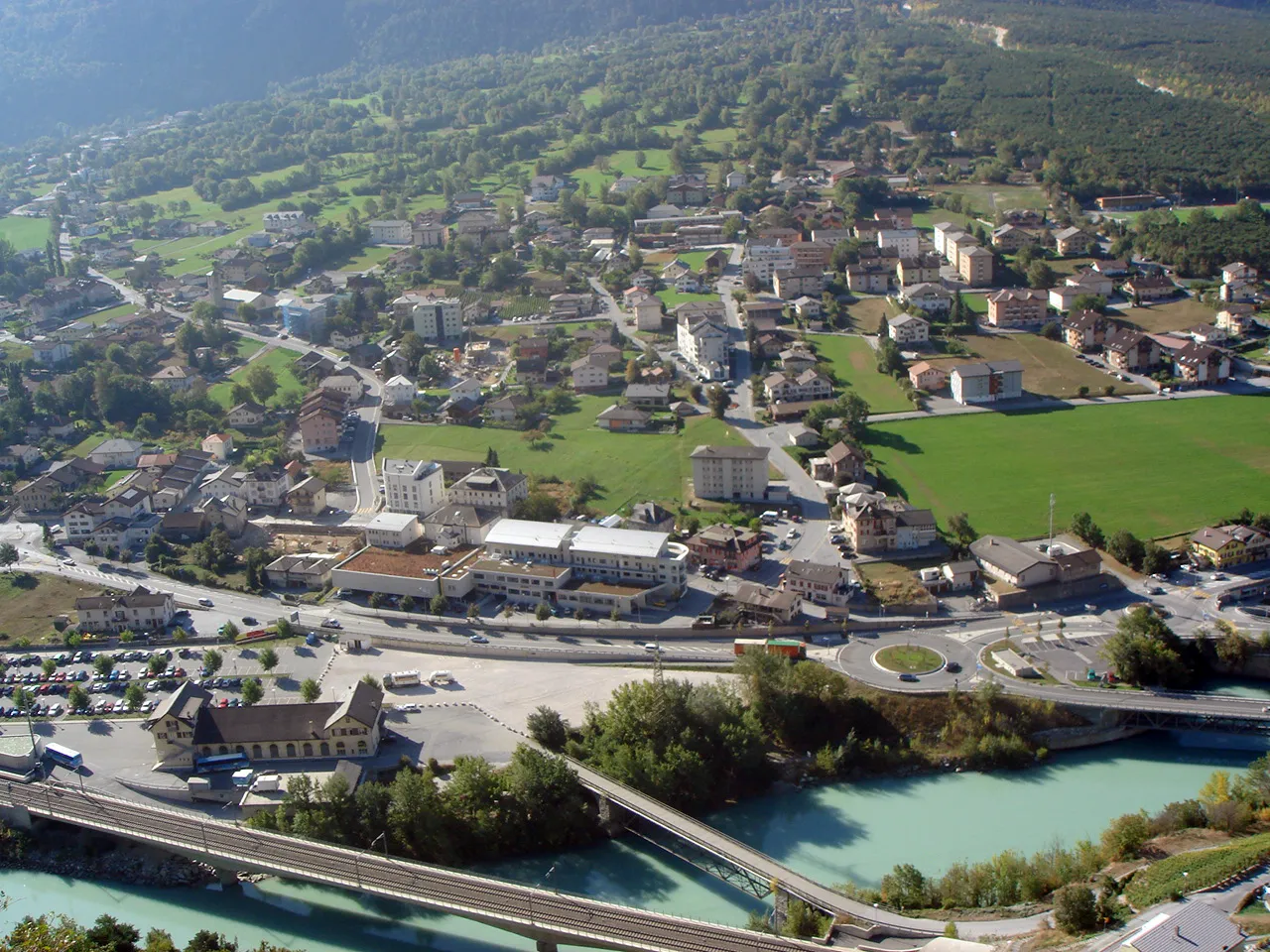
GoppensteinVillageGoppenstein is a small village that serves as the gateway to the Lötschberg Base Tunnel, one of the world's longest railway tunnels.
48 km
48 km
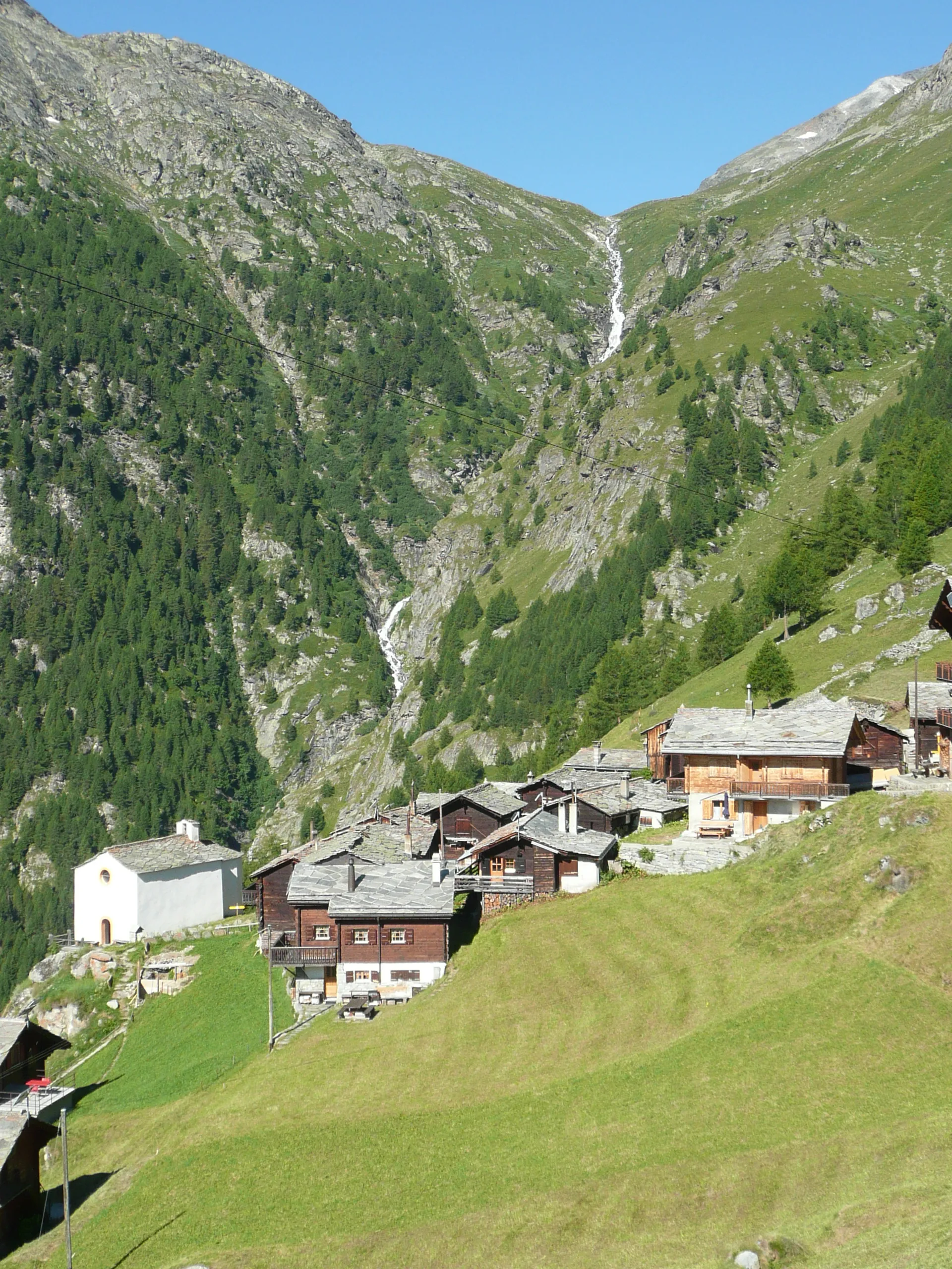
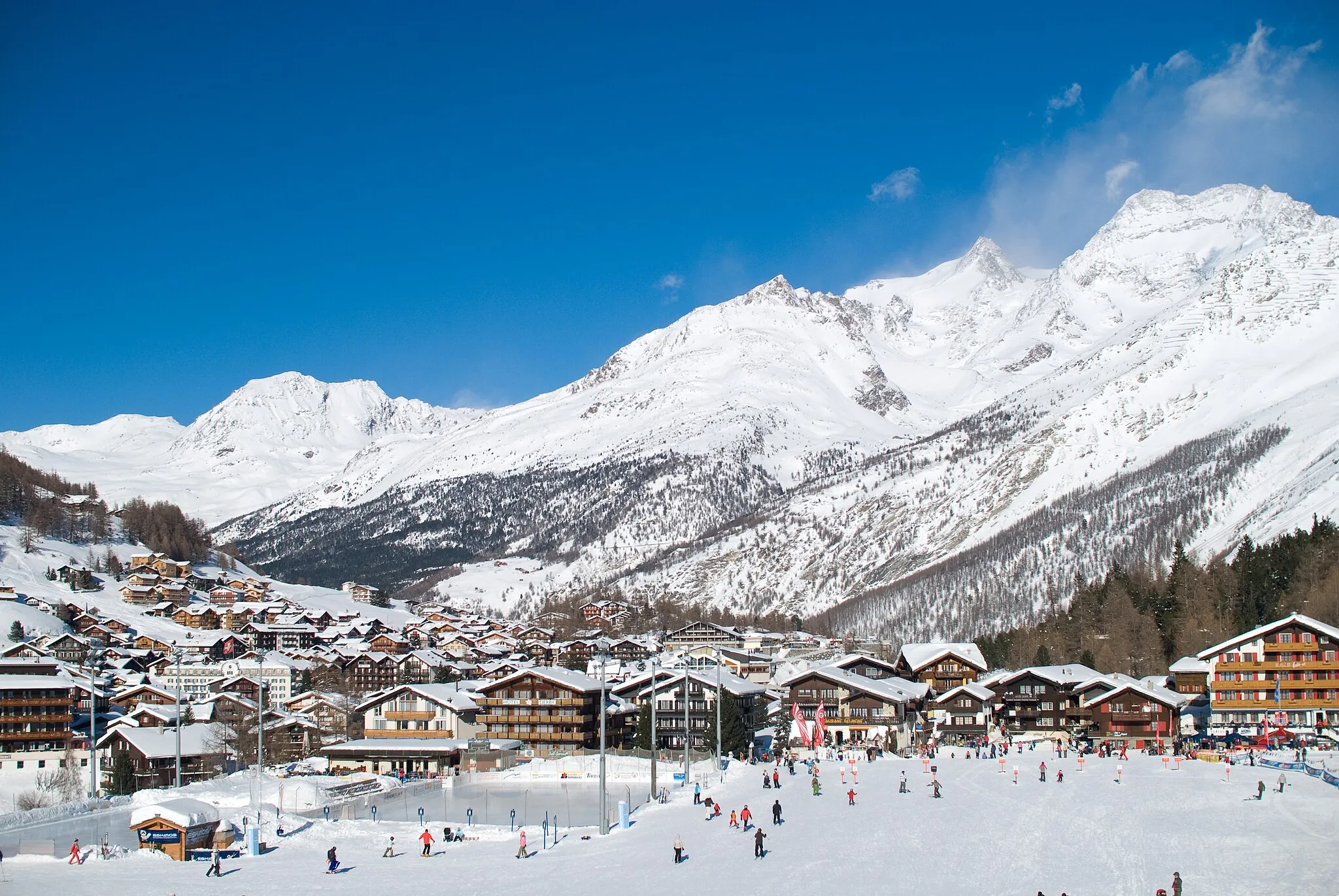
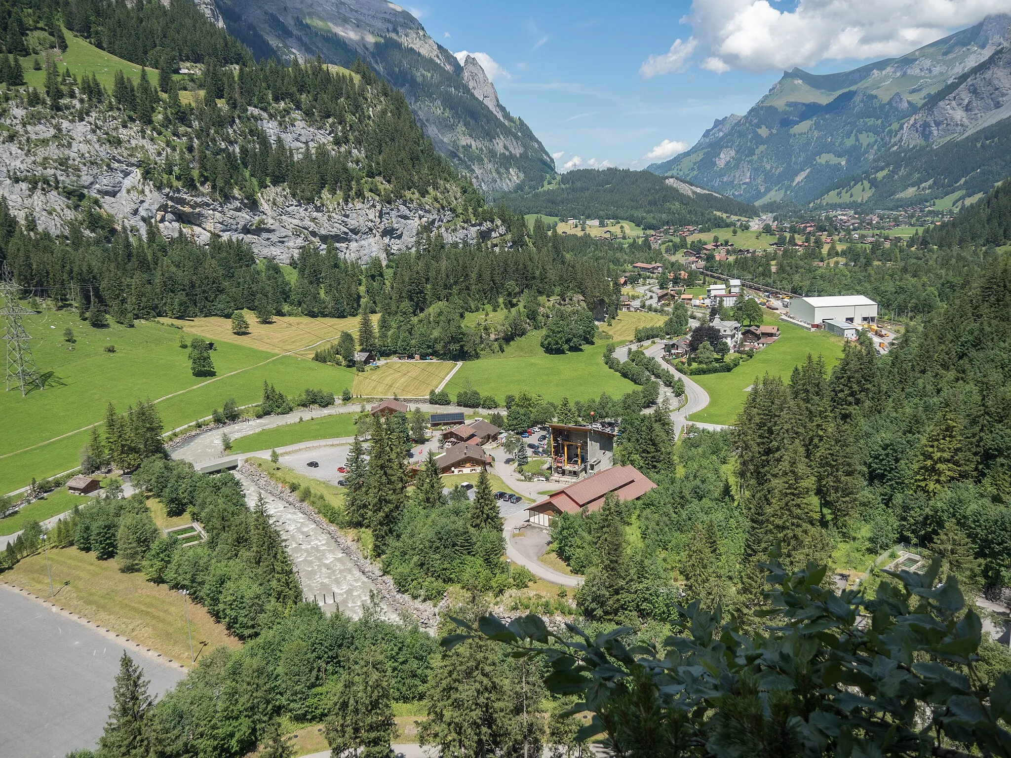
KanderstegVillageKandersteg is a popular year-round destination for outdoor enthusiasts, offering activities such as hiking, skiing, and paragliding.
48 km
48 km
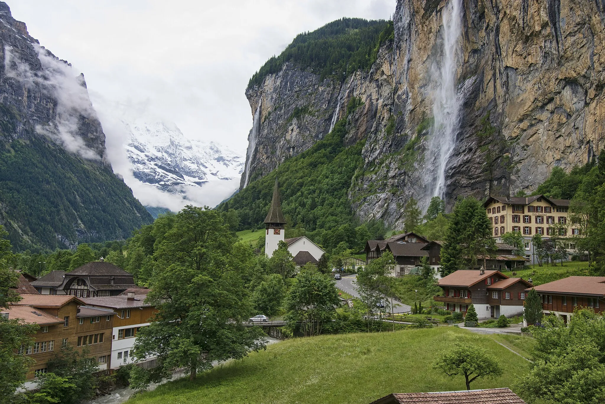
HöhViewpointHöh is a picturesque hamlet nestled in the mountains, offering stunning views and a tranquil atmosphere.
72 km
72 km
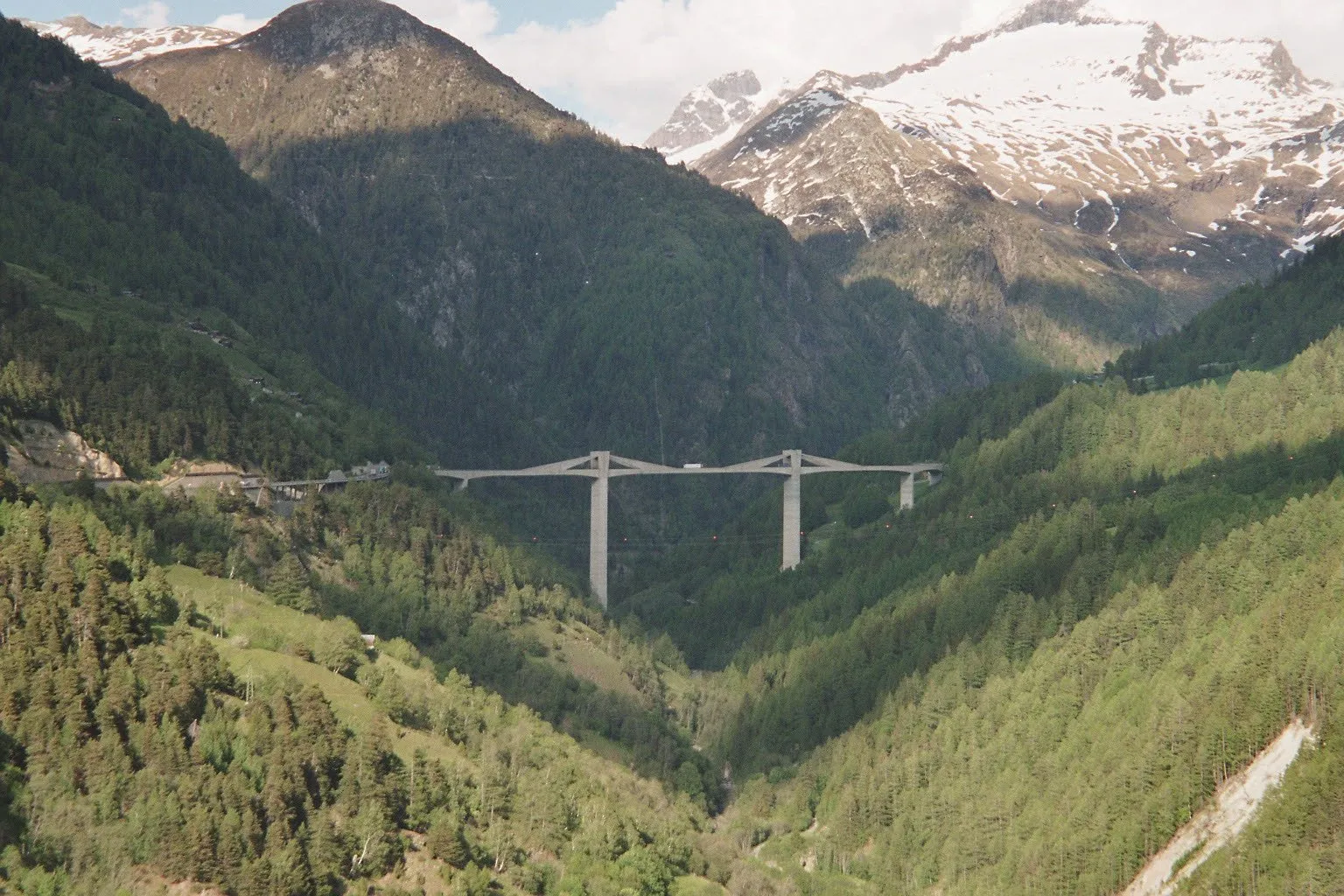
HohtennVillageHohtenn is known for its iconic railway viaduct, which offers magnificent views of the surrounding valleys and mountains.
93 km
93 km
NatersVillageNaters, the starting point of the route, is a charming town with quaint streets and traditional Swiss architecture.
94 km
94 km
Finish: Brig City centerNaters: Unleash Your Cycling Adventure in Majestic Naters
Cycling routes nearby: