Aiguillons de Brasse and Le Crêt Monniot
A gravel cycling route starting from Sainte-Croix
Embark on an epic cycling journey to conquer the Aiguillons de Brasse and be mesmerized by the beauty of Le Crêt Monniot.
Map
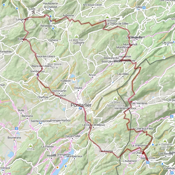
This 111 km gravel route offers an unforgettable cycling experience starting near Sainte-Croix. The route includes challenging climbs to peaks like Aiguillons de Brasse and Le Crêt Monniot, providing breathtaking panoramic views along the way. With an ascent of 2764 m, this route is quite demanding and suitable for experienced cyclists. The difficulty level is rated 5. The highlights of this route include the legendary climb of Col des Etroits, La Cluse-et-Mijoux known for its historical significance, and the stunning views from Aiguillons de Brasse and Le Crêt Monniot. These highlights receive a high rating of 5.
gravel
111 km
2764 m
Savage
Route profile
Highlights on the route
0 km
0 km
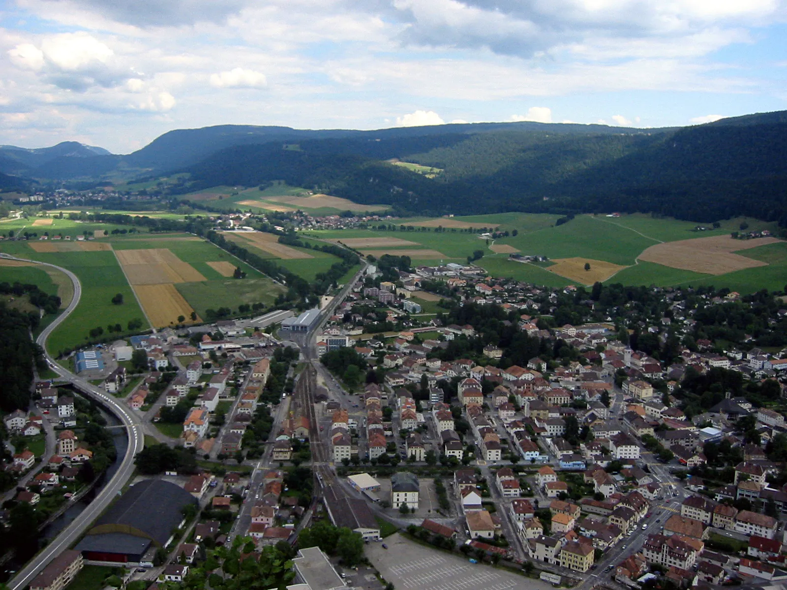
Start: Sainte-Croix Village centerSainte-Croix: Indulge in the refined road cycling experience amidst the Swiss Jura Mountains in Sainte-Croix.
Sainte-Croix is a locality in the Région lémanique region of Switzerland. From the perspective of a road and gravel cyclist, Sainte-Croix is a paradise for cycling enthusiasts. This area is famous for its cycling-friendly infrastructure, pristine roads, and efficient public transport options for cyclists. The Swiss Jura Mountains surrounding the town provide endless opportunities for challenging climbs and thrilling descents. Local cycling routes include Col des Etroits and Col des Mosses, which host multiple biking events throughout the year. Therefore, Sainte-Croix is undoubtedly a highly recommended destination for both recreational and professional cyclists.1 km
1 km
Col des Etroits1152 mMountain PassCol des Etroits - a legendary climb
17 km
17 km
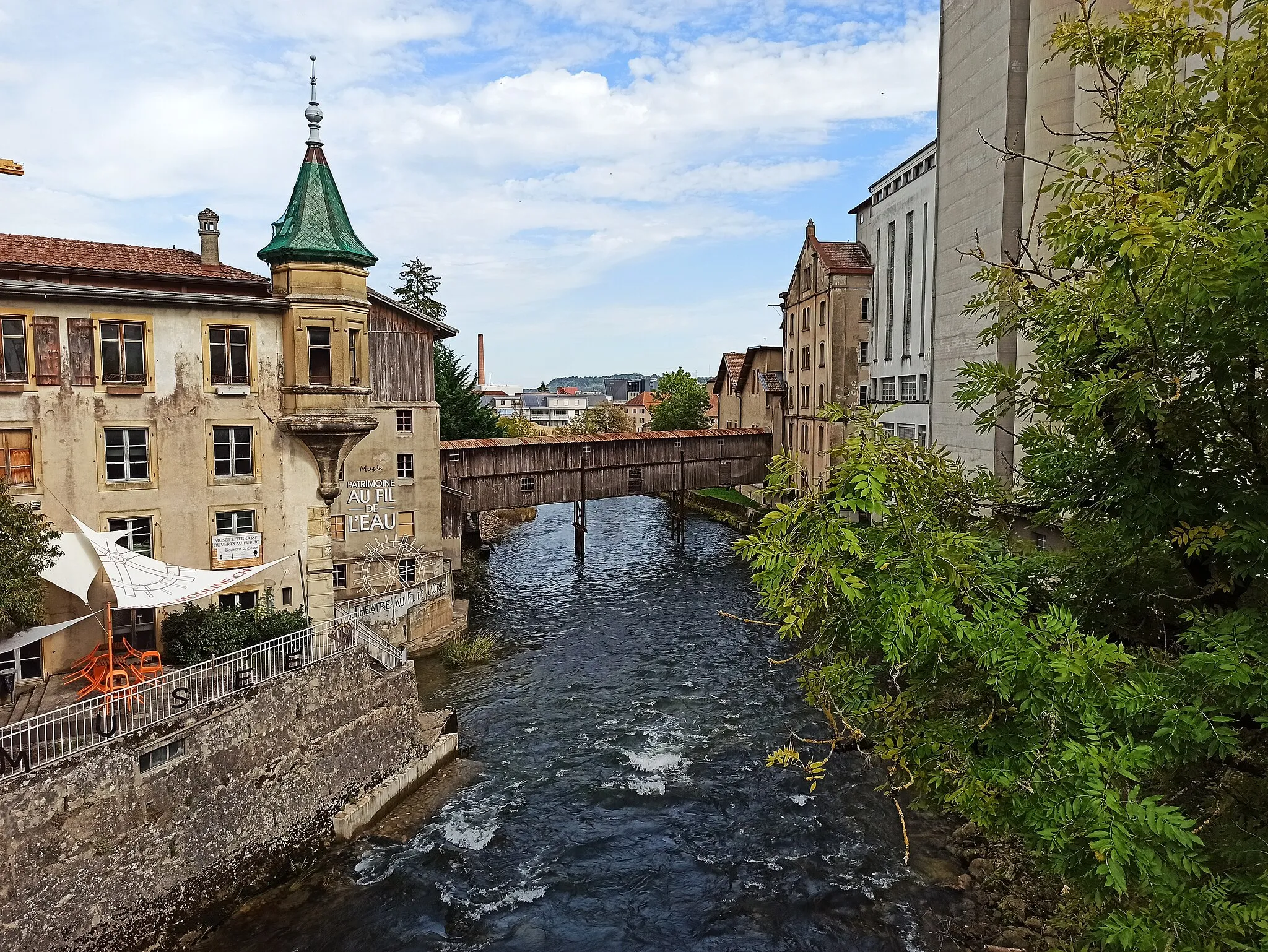
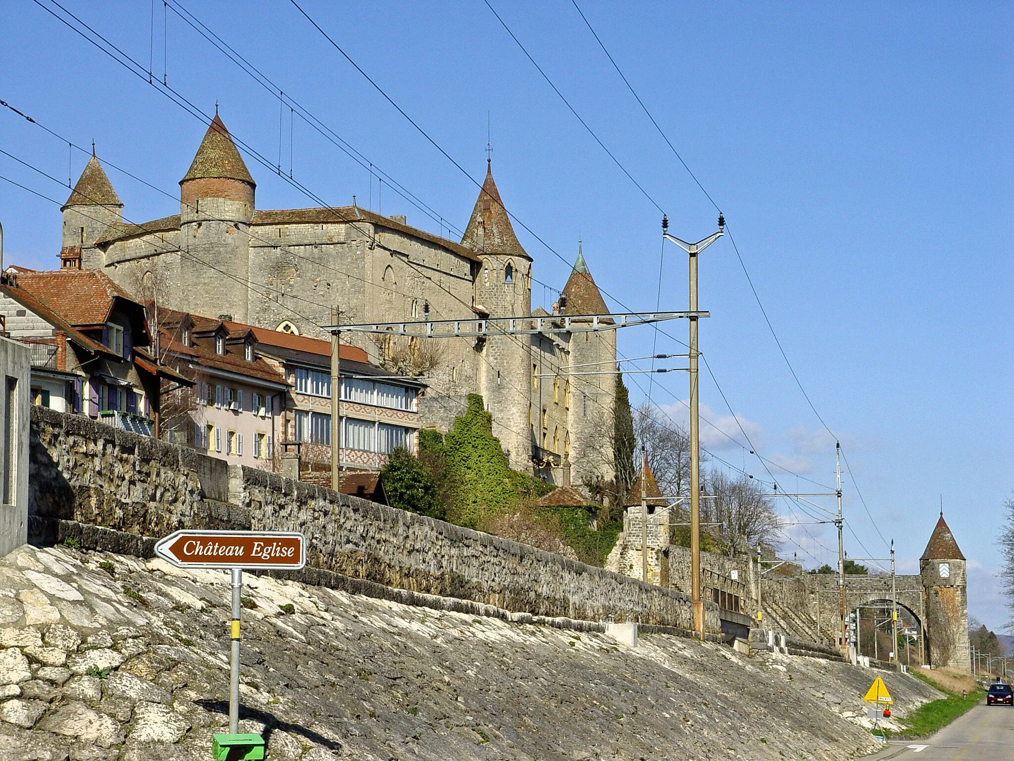
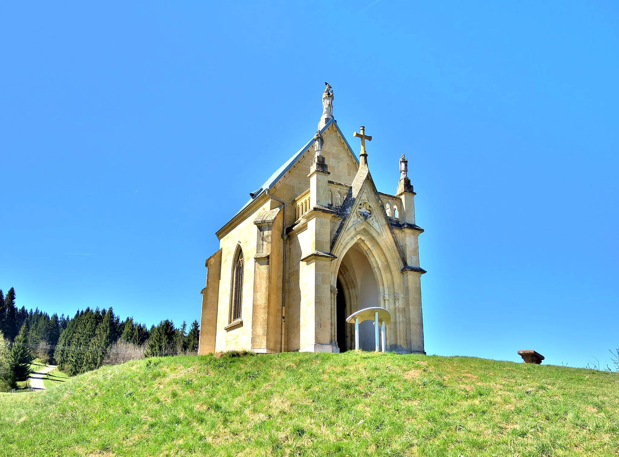
La Cluse-et-MijouxVillageLa Cluse-et-Mijoux - discover the historical significance of this location
34 km
34 km
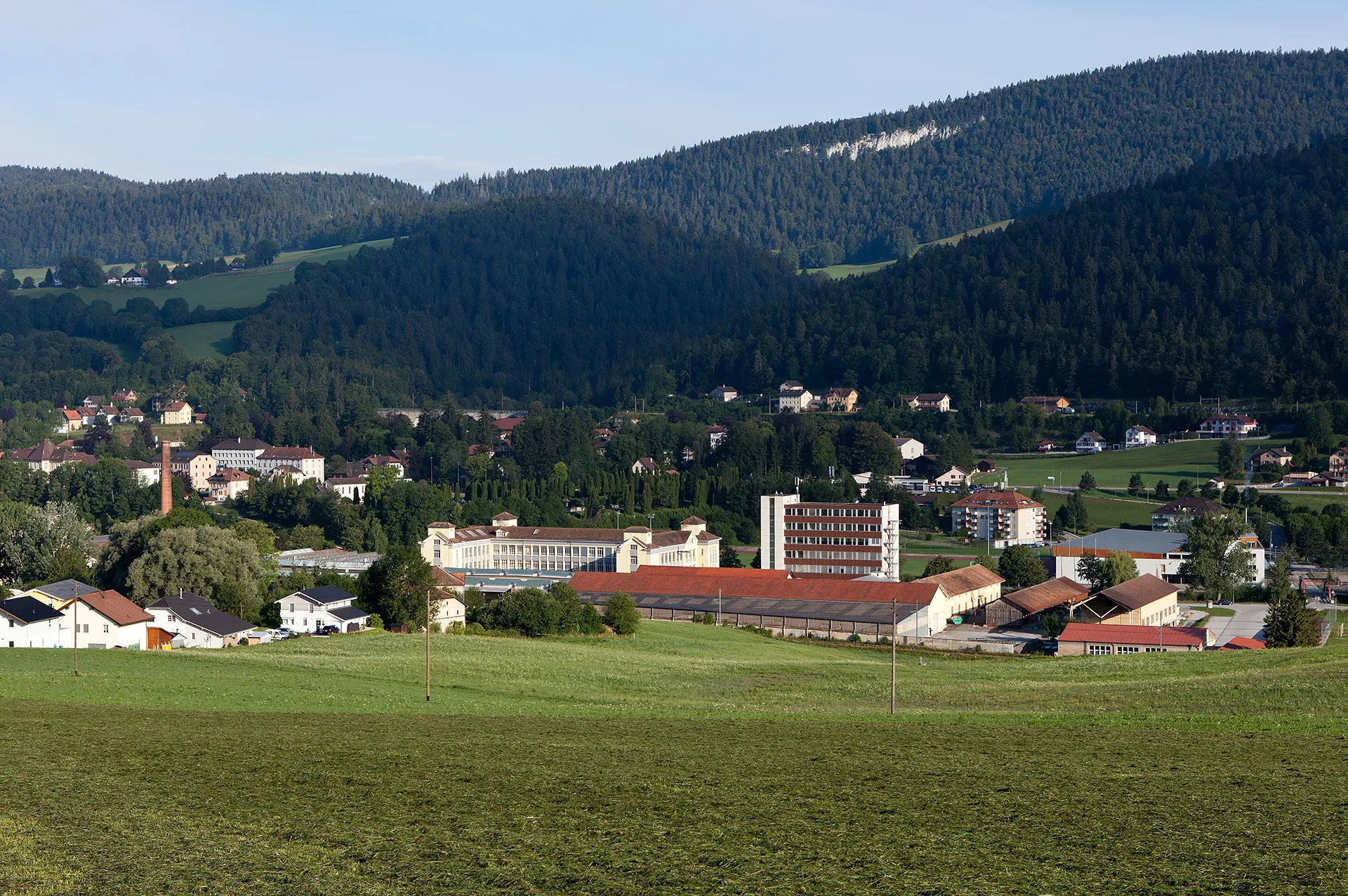
Bians-les-UsiersVillageBians-les-Usiers with its charming setting
47 km
47 km
LodsVillageLods - a picturesque village along the route
52 km
52 km
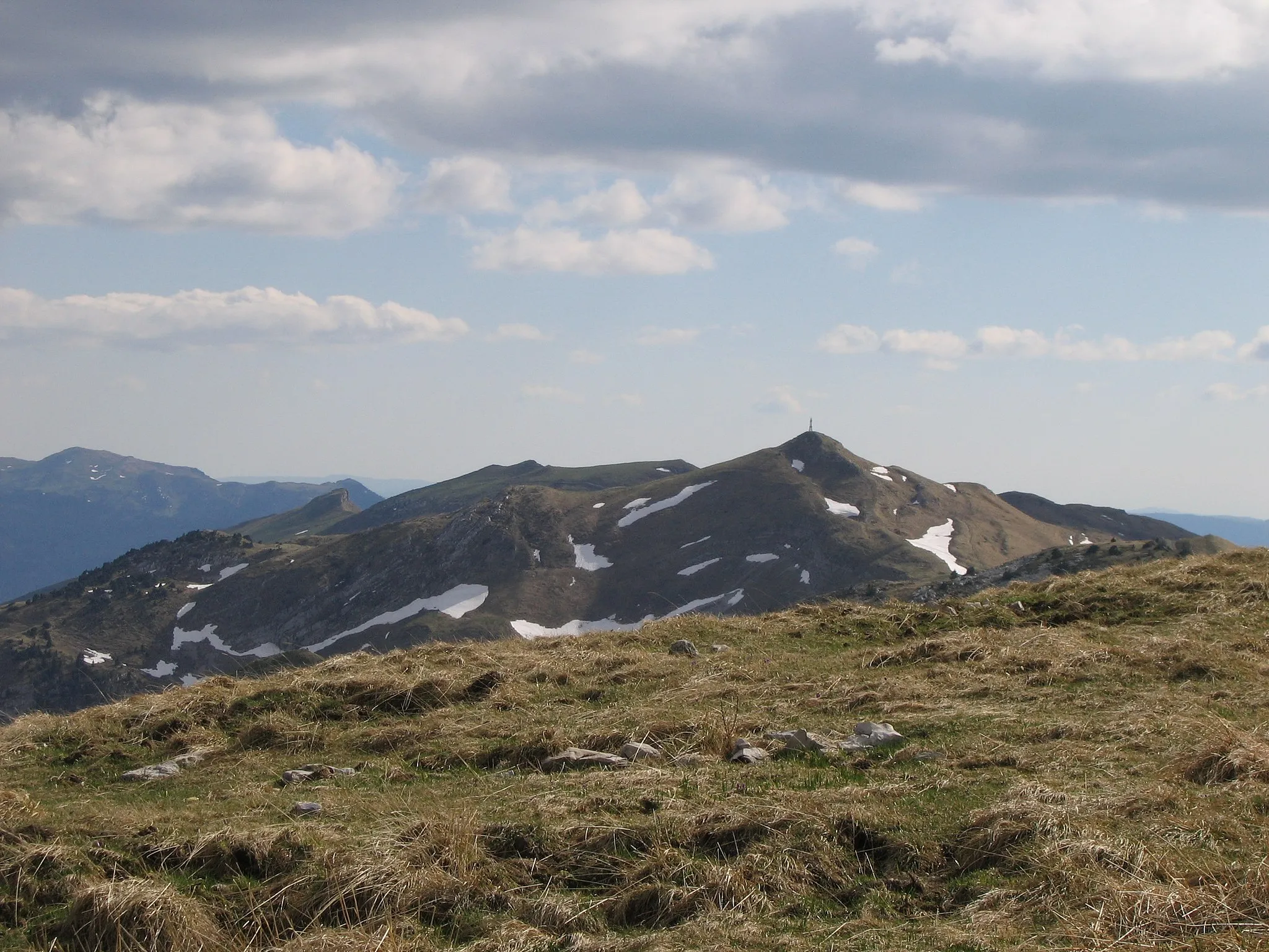
Aiguillons de BrasseViewpointAiguillons de Brasse - conquer this iconic peak
65 km
65 km
Le Crêt Monniot1141 mViewpointLe Crêt Monniot - enjoy the mesmerizing views from this location
75 km
75 km
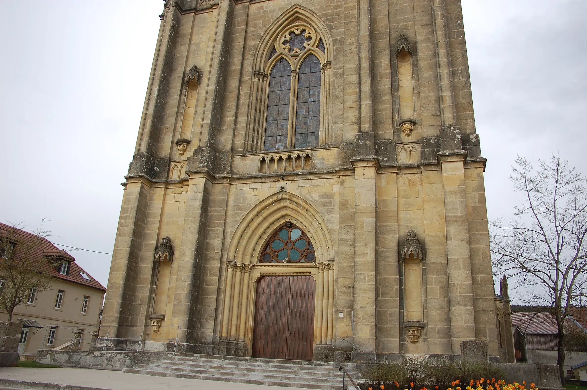
MontbenoîtVillageMontbenoît - a scenic stop on the way
95 km
95 km
Verrières-de-JouxVillageVerrières-de-Joux - explore the beauty of this historical village
102 km
102 km
La Côte-aux-FéesVillageLa Côte-aux-Fées - a charming village to explore
108 km
108 km
La Broutire1264 mPeakLa Broutire - a picturesque location
111 km
111 km
Finish: Sainte-Croix Village centerSainte-Croix: Indulge in the refined road cycling experience amidst the Swiss Jura Mountains in Sainte-Croix.
Cycling routes from Sainte-Croix:
Gravel Adventure through the Jura Mountains Scenic Road Cycling Tour of Sainte-Croix Discover the Scenic Splendor of Région lémanique Ultimate Challenge: Conquer the Jura Mountain Passes Summit Tour: Conquer the Jura Mountain Passes Tour de la Grand‘Vy and Mont de Baulmes Gravel Ride Around Sainte-Croix Aiguillons de Brasse and Le Crêt Monniot Creux du Van and Vuitebœuf Tour de la Grand‘Vy and Sainte-Croix
Cycling routes nearby: