Climbing the Monte Ceneri
A road cycling route starting from Giubiasco
Marvel at the scenic views while ascending the challenging Monte Ceneri.
Map
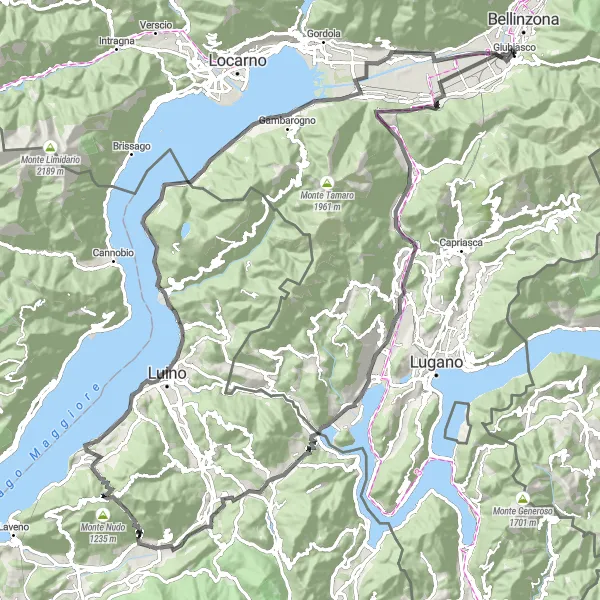
This route takes you on a challenging climb up the Monte Ceneri, with picturesque views along the way. The route covers a distance of 113 kilometers and features an ascent of 1,734 meters. Suitable for experienced cyclists looking for a demanding ride.
road
113 km
1734 m
Tough
Route profile
Highlights on the route
0 km
0 km
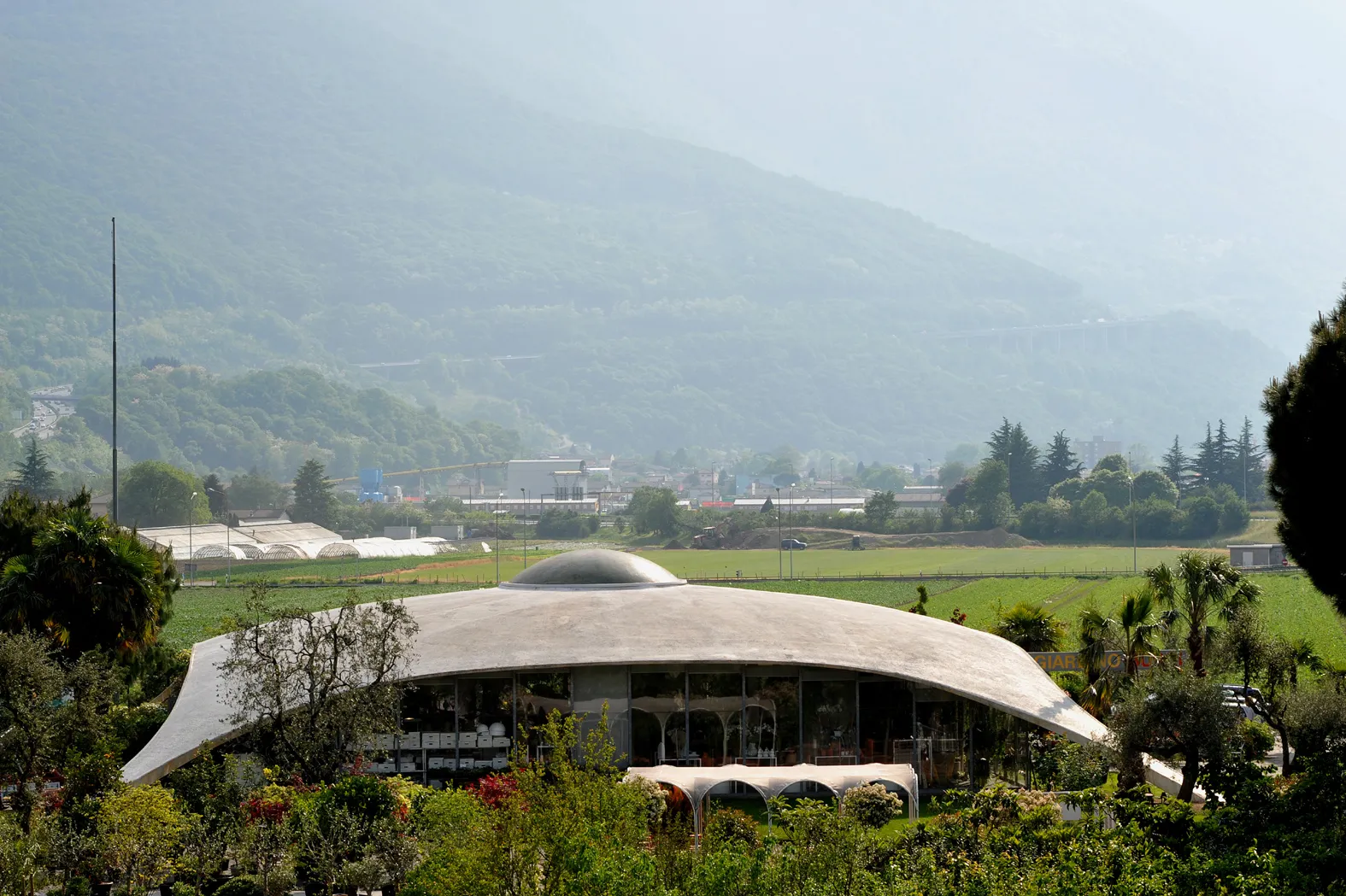
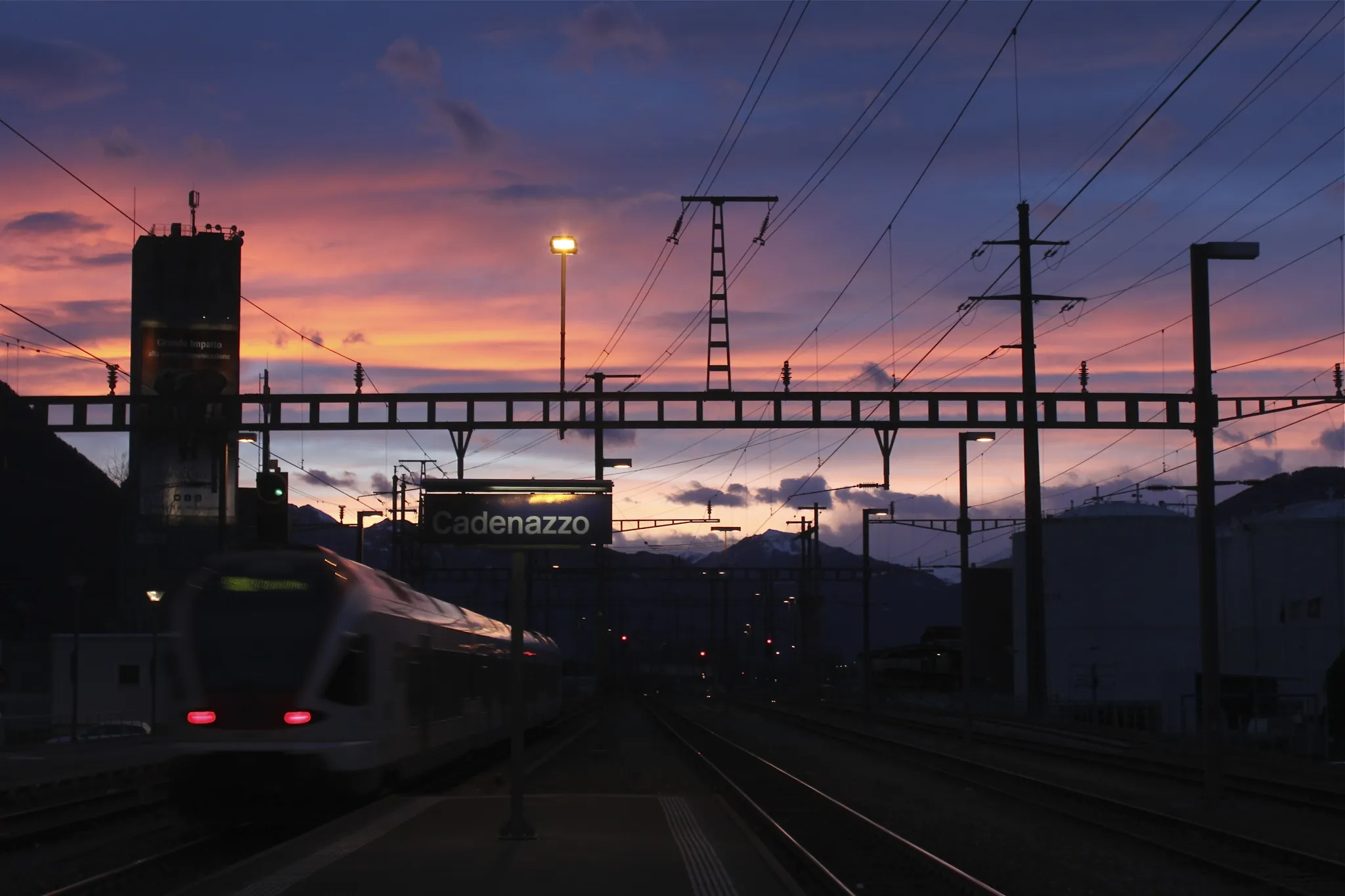
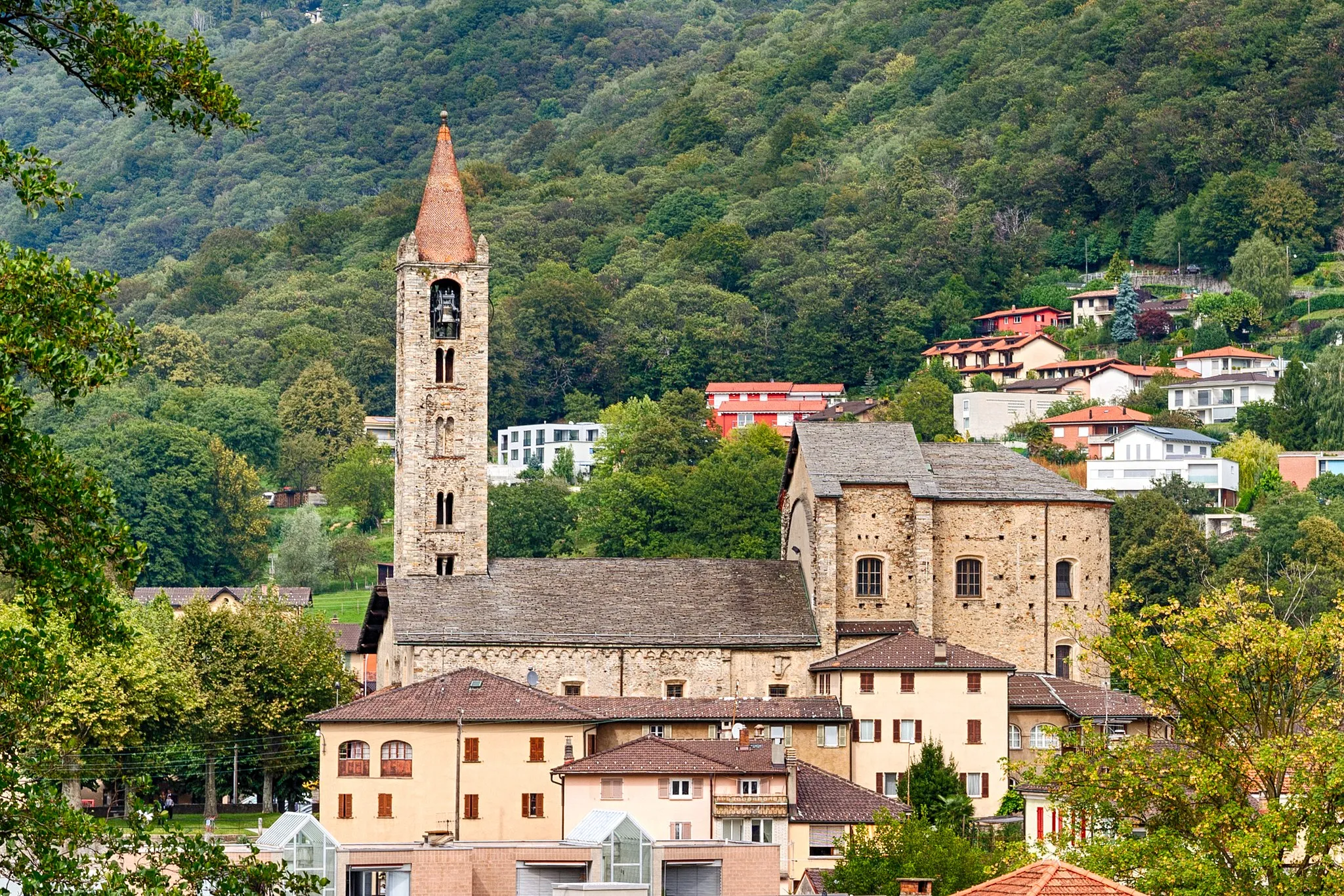
Start: Giubiasco Village centerGiubiasco: Challenging climbs and diverse terrain await in Giubiasco
Giubiasco is a town located in the canton of Ticino in Switzerland. The Ticino region offers excellent cycling opportunities for road and gravel riders, and Giubiasco is no exception. The area features a mix of flat and hilly terrain, allowing cyclists to choose routes that suit their preferences and skill levels. Notable cycling spots in the region include the Gotthard Pass and the Nufenen Pass, both renowned for their challenging climbs and stunning mountain vistas. With its diverse terrain and cycling-friendly atmosphere, Giubiasco is a fantastic destination for cyclists seeking a Swiss adventure.12 km
12 km
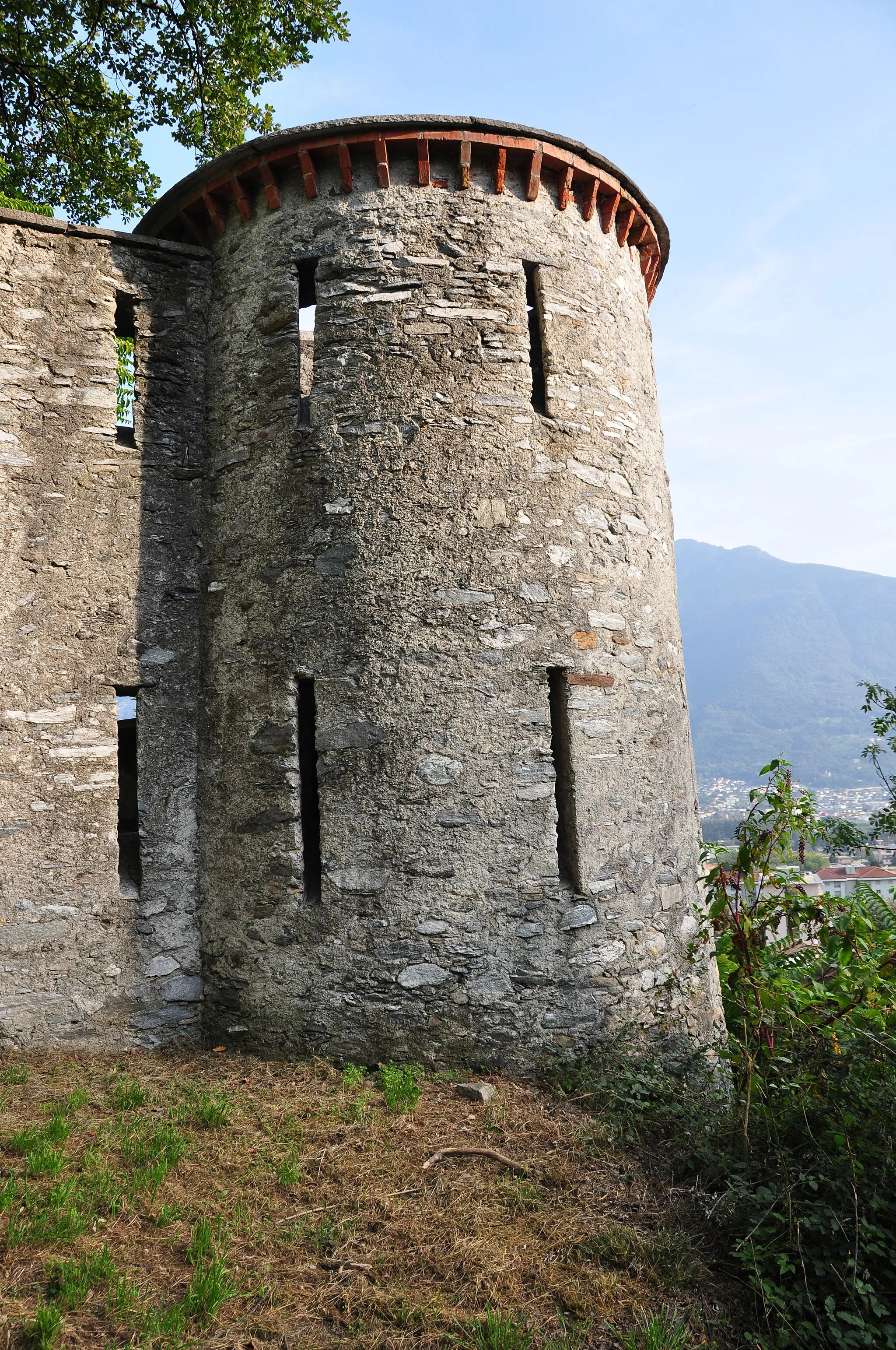
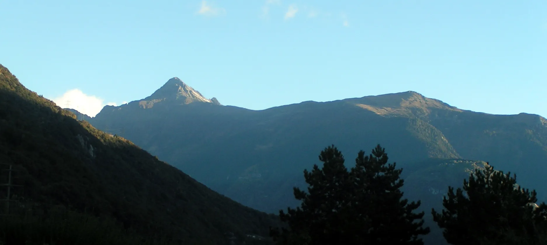
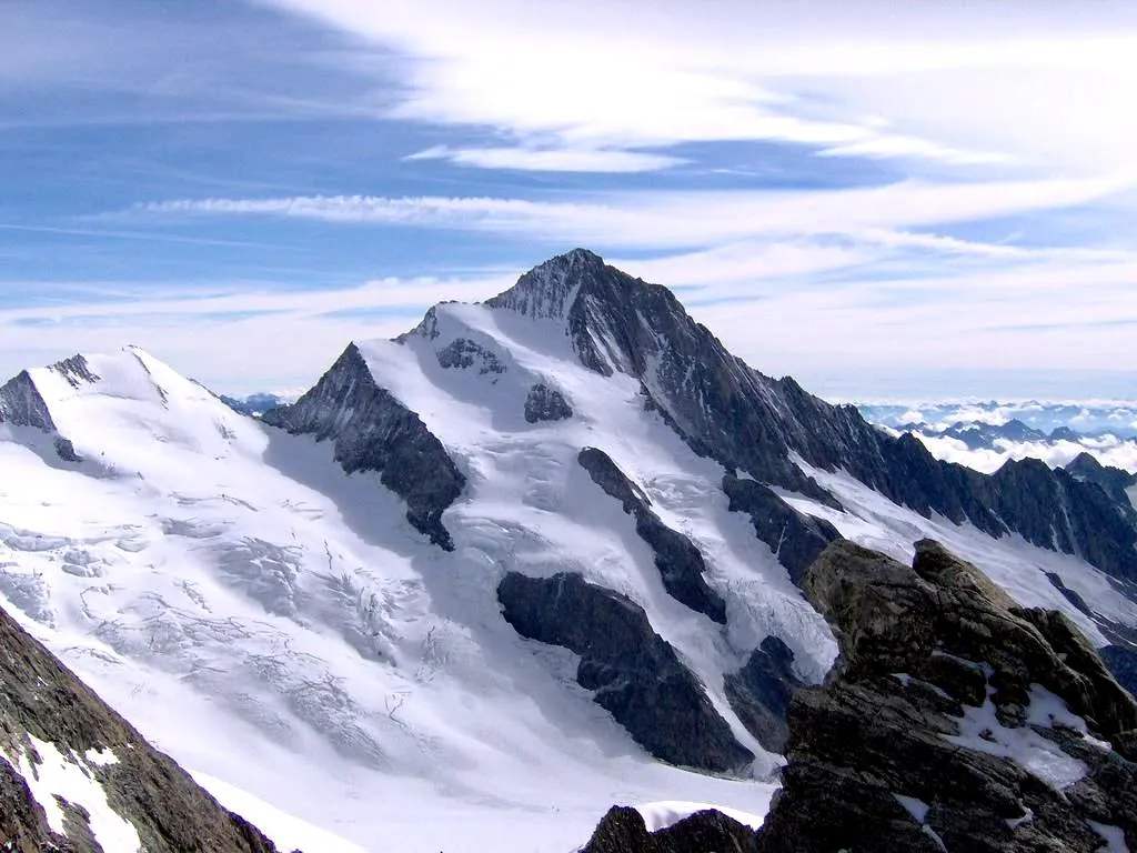
Monte Ceneri558 mMountain PassAt a distance of 12 kilometers, you'll reach Monte Ceneri and be rewarded with stunning vistas.
16 km
16 km
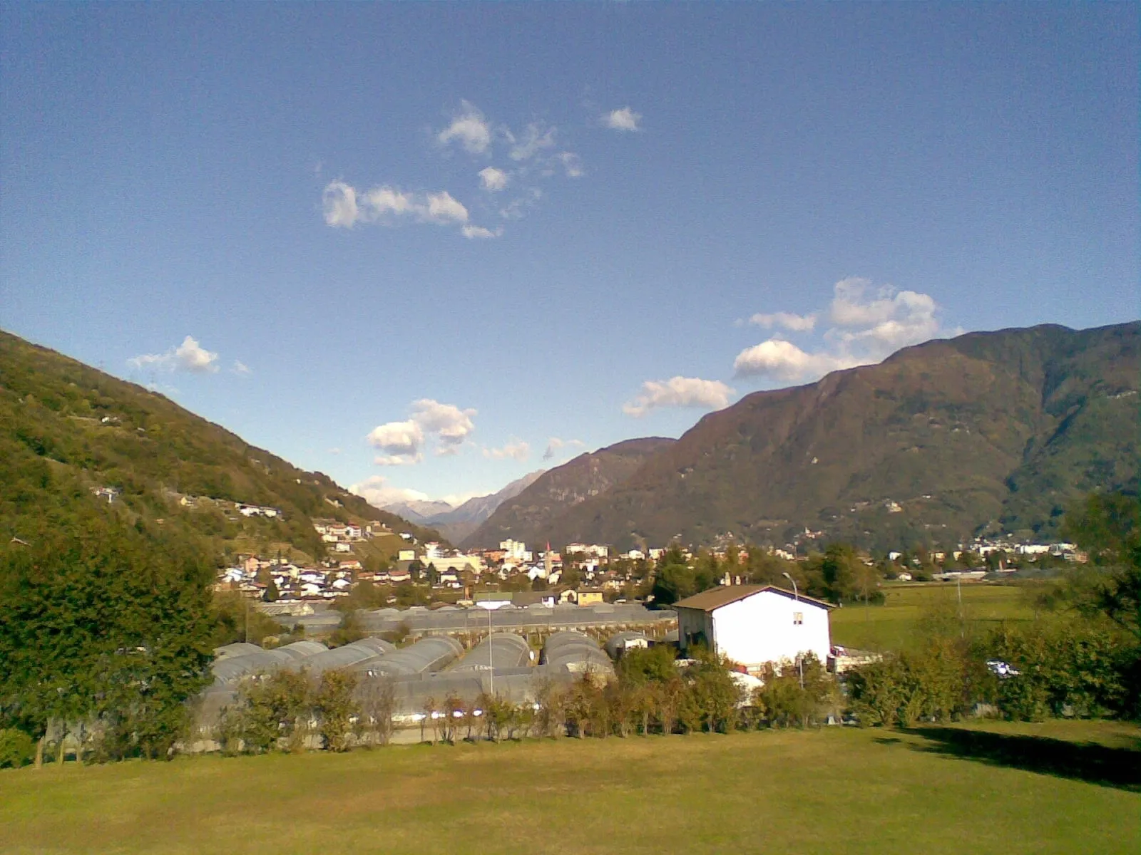
BironicoVillageAfter 16 kilometers, you'll pass through Bironico, a charming village with traditional architecture.
28 km
28 km
BioggioVillageAt around 28 kilometers, you'll cycle through Bioggio, which offers picturesque views of the surrounding countryside.
32 km
32 km
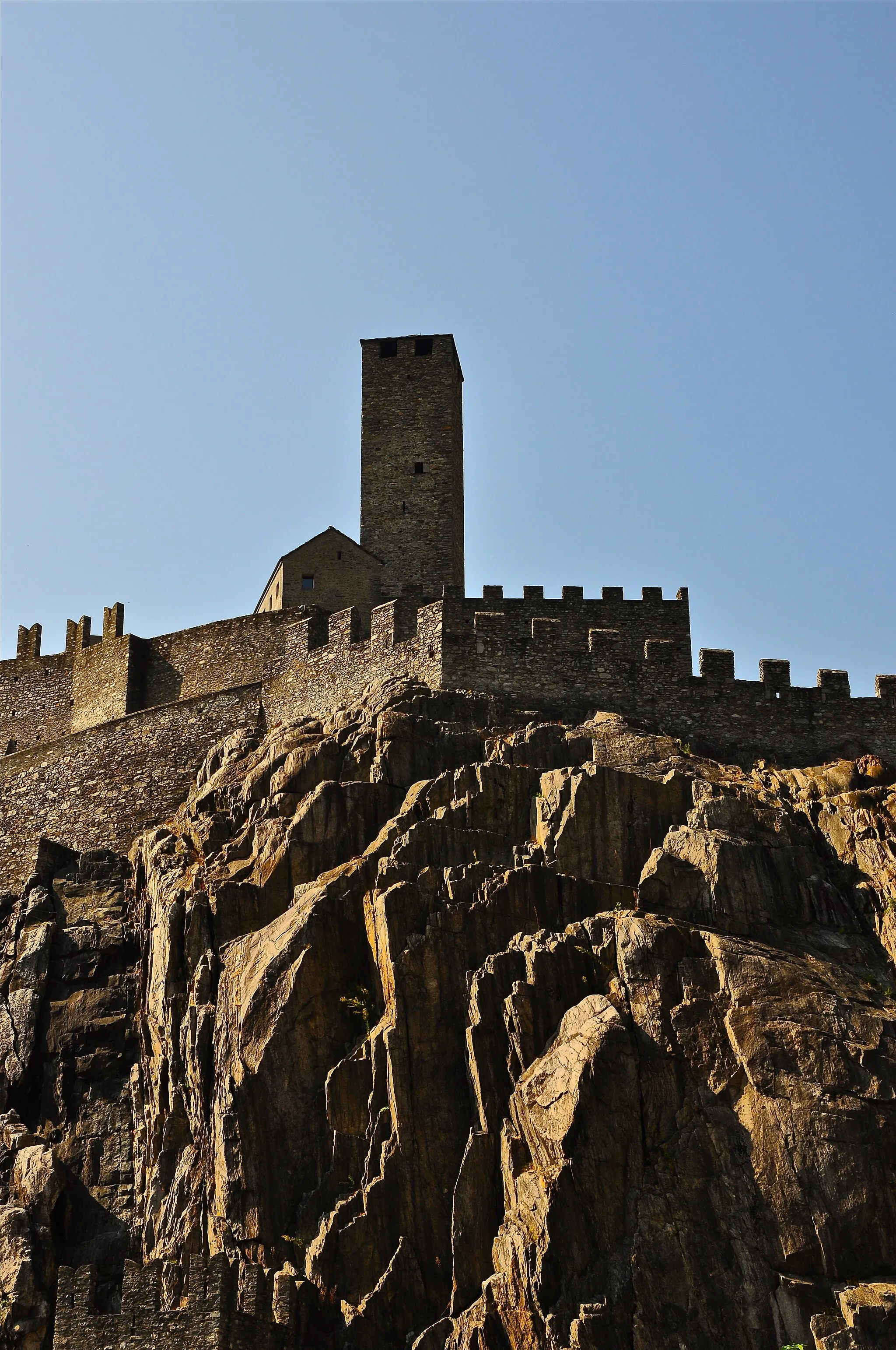
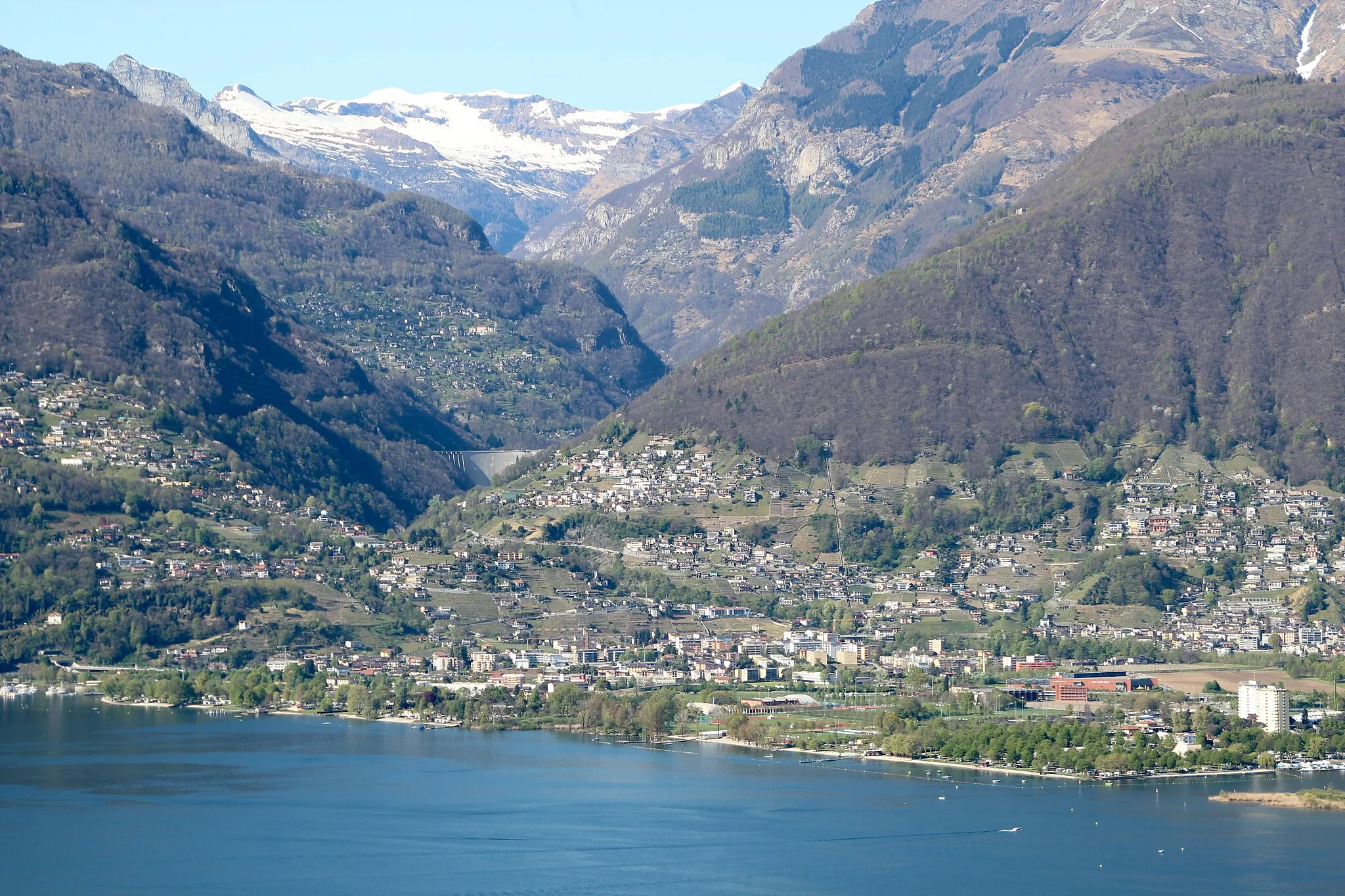
Monte San Giorgio398 mPeakAfter a challenging 32-kilometer climb, you'll reach Monte San Giorgio, a UNESCO World Heritage Site known for its fossil-rich rocks.
48 km
48 km
Rancio ValcuviaVillageAt 48 kilometers, you'll pass through Rancio Valcuvia, a quaint Italian town with historical charm.
57 km
57 km
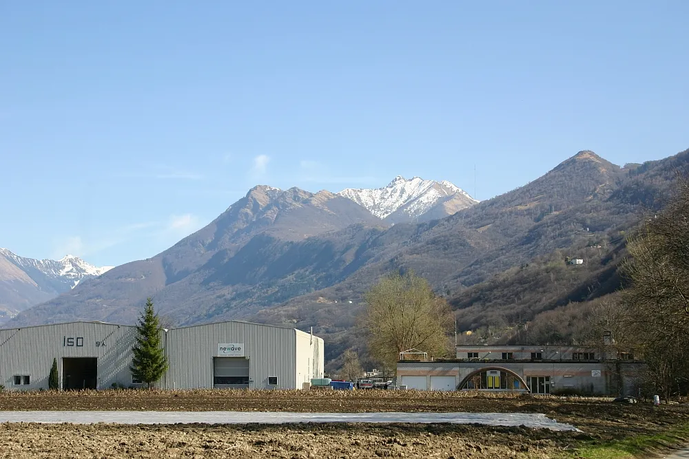
Monte Rossel978 mPeakAfter 57 kilometers, enjoy the beautiful scenery as you cycle across Monte Rossel.
79 km
79 km
Maccagno SuperioreVillageAt 79 kilometers, Maccagno Superiore welcomes you with its peaceful atmosphere and stunning lake views.
91 km
91 km
GerraVillageAfter 91 kilometers, you'll reach Gerra, a picturesque village with narrow streets and traditional stone houses.
105 km
105 km
CugnascoVillageAt around 105 kilometers, you'll bike through Cugnasco, famous for its ancient church and charming streets.
112 km
112 km
CamorinoVillageThe final highlight of this route is Camorino, reached after 112 kilometers. Explore the historic town and its notable buildings.
113 km
113 km
Finish: Giubiasco Village centerGiubiasco: Challenging climbs and diverse terrain await in Giubiasco
Cycling routes nearby: