Langenthal Mountain Challenge
A road cycling route starting from Dagmersellen
Take on the challenging climbs of Langenthal
Map
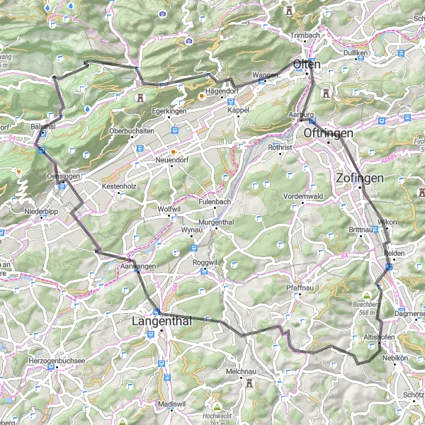
The Langenthal Mountain Challenge is a thrilling cycling route with a distance of 78 km and an ascent of 1254 m. It is recommended for experienced cyclists looking for a challenging ride. The route takes you through picturesque landscapes and presents several difficult climbs, including the famous Oberer Hauenstein pass. Along the way, you'll have the opportunity to explore highlights such as Roggliswil, Langenthal, Lehnflue, Langenbruck, Zofingen, and Alpenzeiger, each offering unique attractions and beautiful scenery.
road
78 km
1254 m
Savage
Route profile
Highlights on the route
0 km
0 km
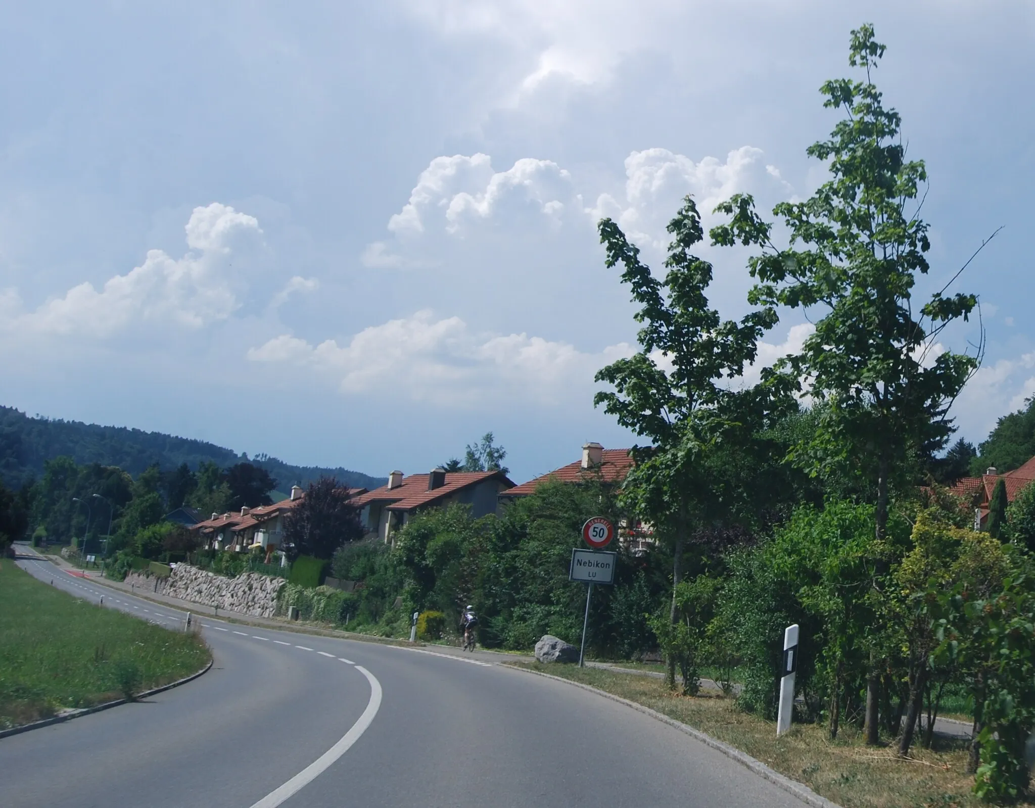
Start: Altishofen Village centerDagmersellen: Charming countryside and scenic lakes in Switzerland.
Dagmersellen is a locality located in Zentralschweiz, Switzerland. Road and gravel cyclists can enjoy exploring the picturesque countryside, with its charming villages and rolling hills. The region offers a mix of flat terrains and moderate climbs, providing challenge and enjoyment for cyclists of all levels. A notable cycling spot nearby is Lake Baldegg, a small lake known for its scenic cycling path around its perimeter. With its serene atmosphere and beautiful landscapes, Dagmersellen is a great locality for road and gravel cyclists seeking both relaxation and enjoyable rides.9 km
9 km
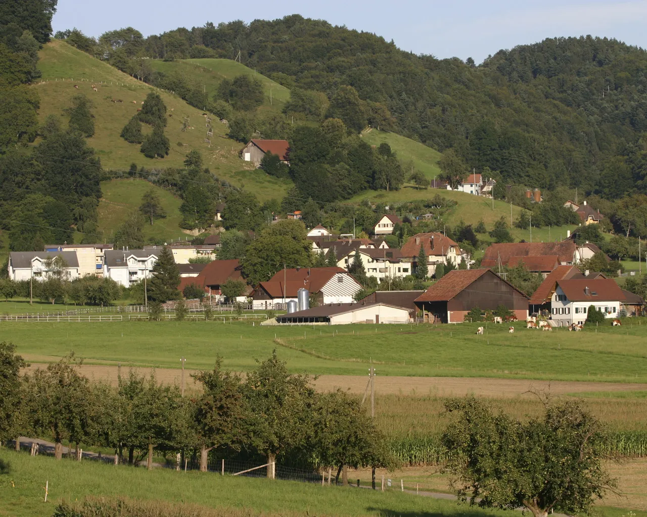
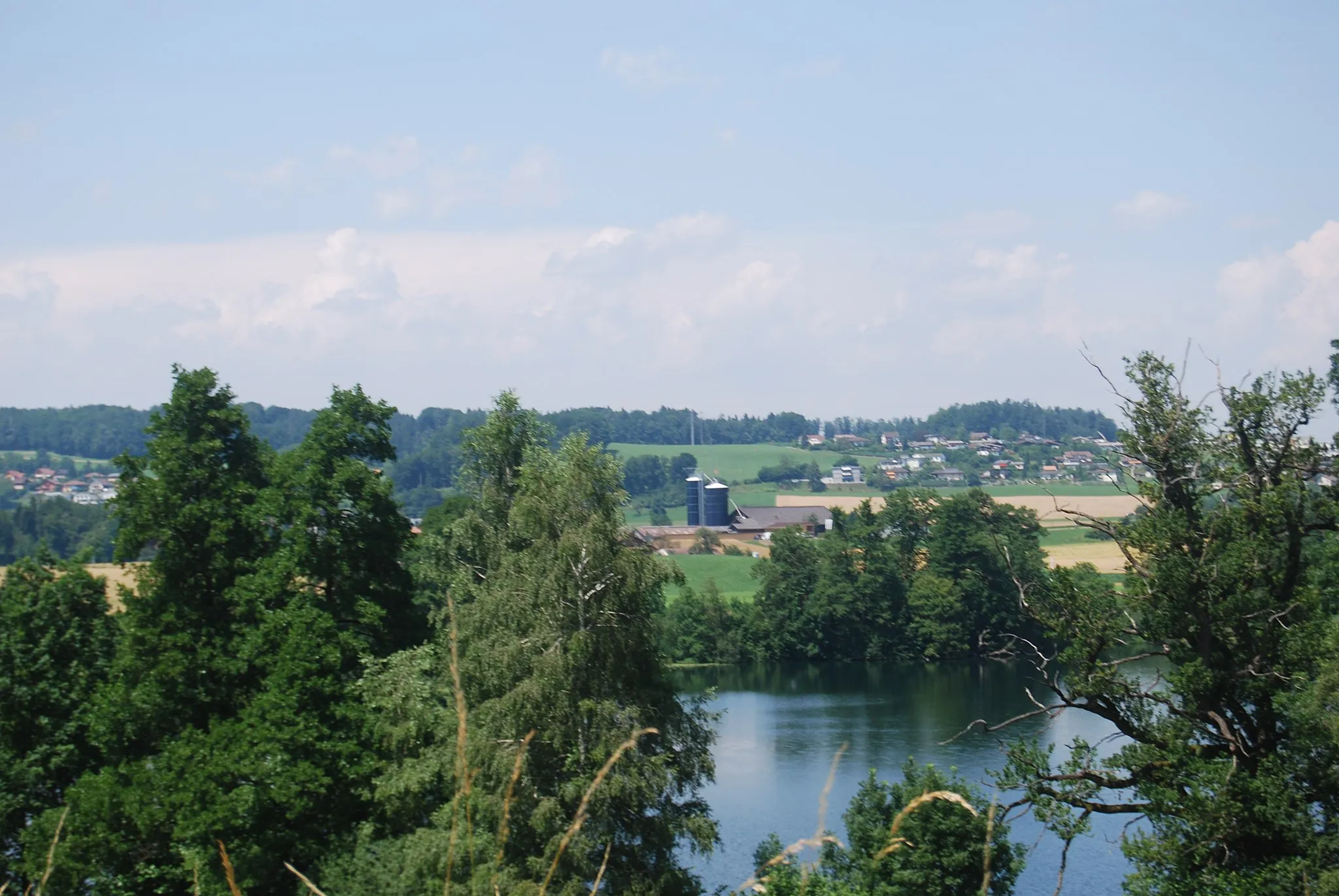
RoggliswilVillageRoggliswil is a small village nestled in the Swiss countryside, offering peaceful surroundings and beautiful panoramic views.
17 km
17 km
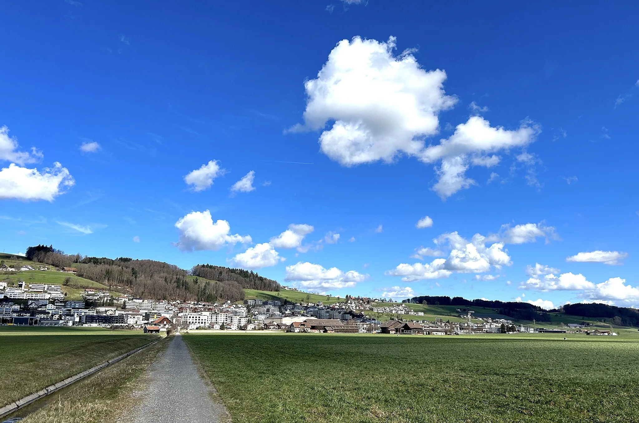
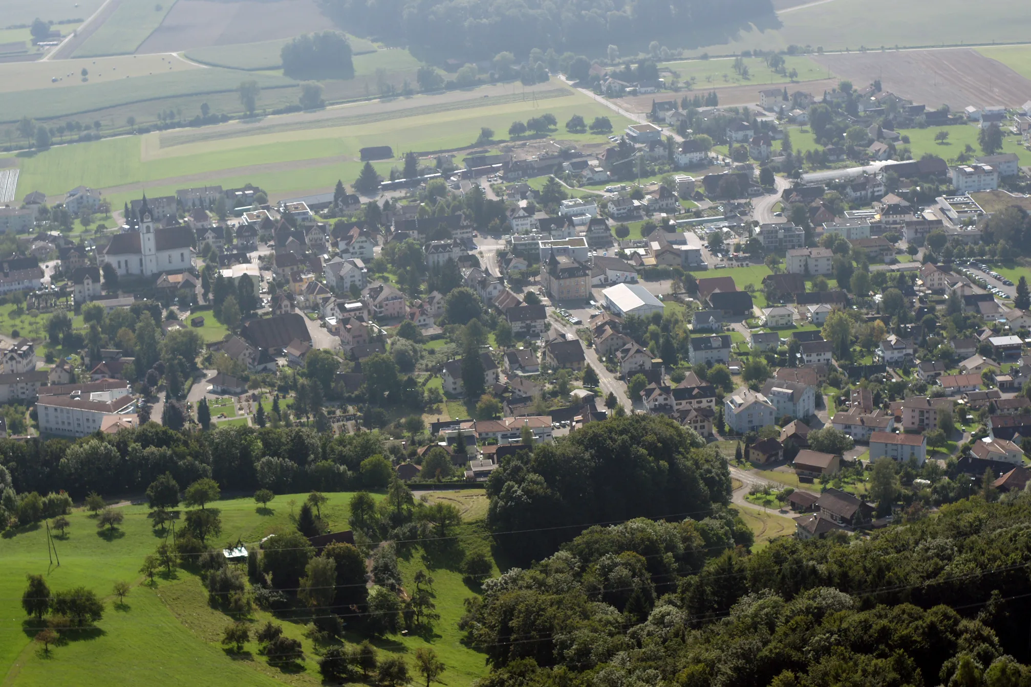
LangenthalTownLangenthal is a vibrant town known for its excellent shopping opportunities and charming old town with well-preserved buildings.
30 km
30 km
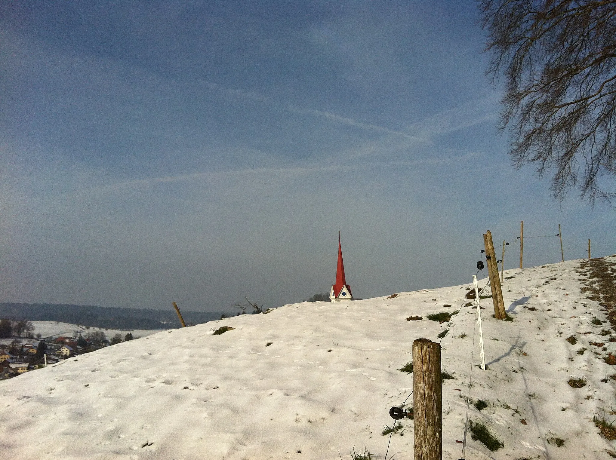
LehnflueViewpointLehnflue is a natural viewpoint offering breathtaking panoramic views of the surrounding landscapes and distant mountain ranges.
44 km
44 km
Oberer Hauenstein734 mMountain PassOberer Hauenstein pass is a challenging climb that rewards cyclists with stunning vistas of the Swiss Jura region.
44 km
44 km
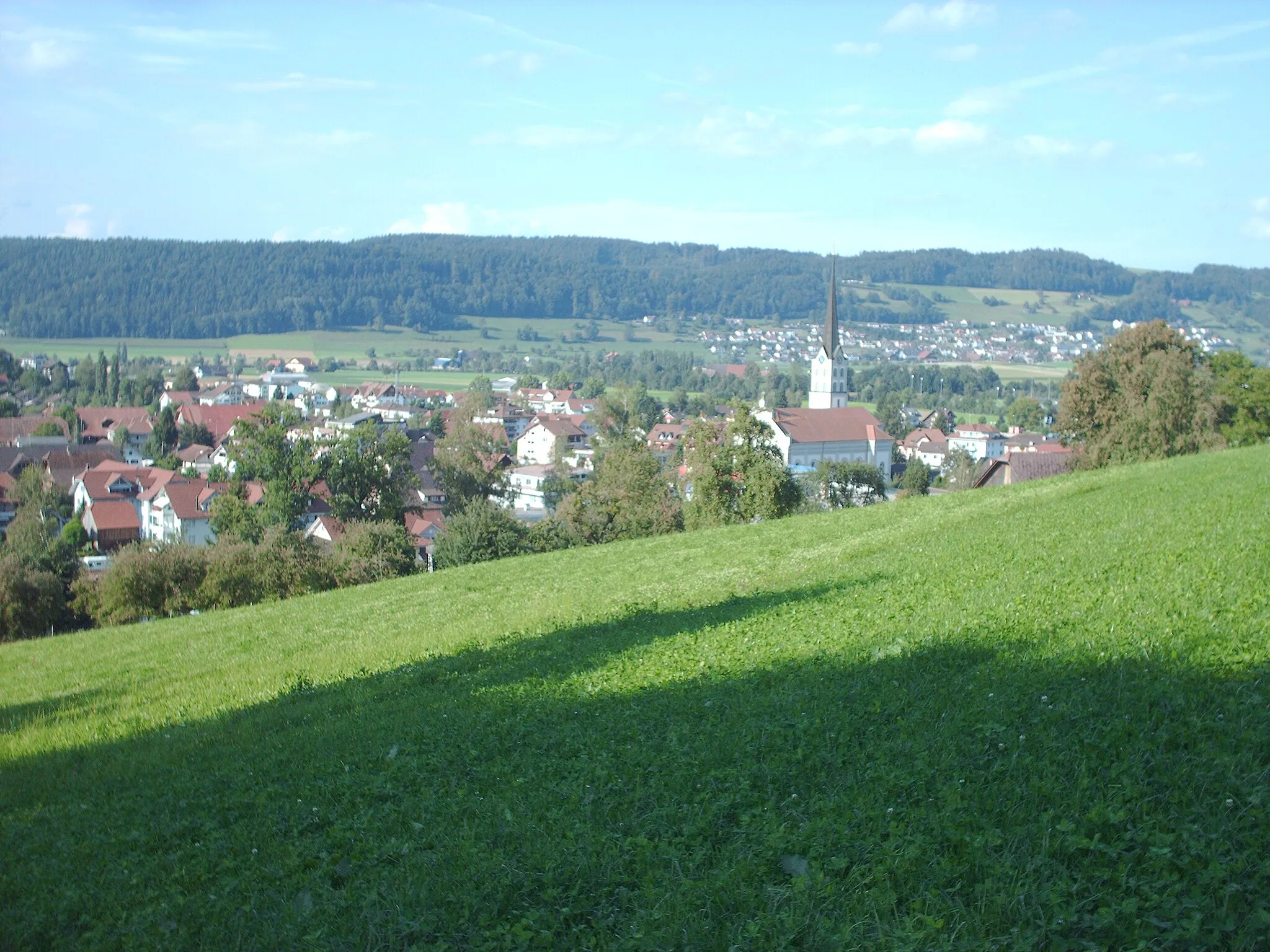
LangenbruckVillageLangenbruck is a small mountain village known for its peaceful atmosphere and access to beautiful hiking trails.
67 km
67 km
ZofingenTownZofingen is a historic town with a charming old town and picturesque views of the surrounding landscapes.
68 km
68 km
AlpenzeigerViewpointThe Alpenzeiger mountain offers breathtaking panoramic views of the Aare valley and the Swiss Alps.
78 km
78 km
Finish: Altishofen Village centerDagmersellen: Charming countryside and scenic lakes in Switzerland.
Cycling routes from Dagmersellen:
Cycling routes nearby: