Entlebuch Road Challenge
A road cycling route starting from Entlebuch
Conquer the challenging roads near Entlebuch
Map
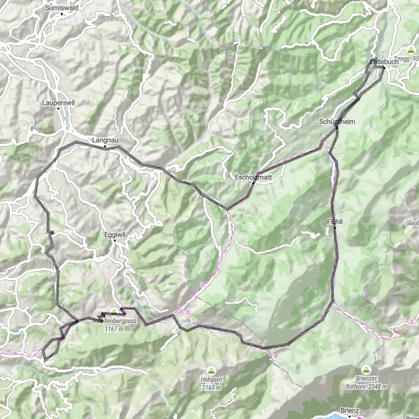
Embark on a road cycling challenge near Entlebuch with a total ascent of 2120m and a distance of 110km. This route offers breathtaking views, thrilling descents, and challenging uphill sections, making it a must for experienced cyclists. Experience the beauty of the Swiss countryside while pushing your limits.
road
110 km
2120 m
Tough
Route profile
Highlights on the route
0 km
0 km
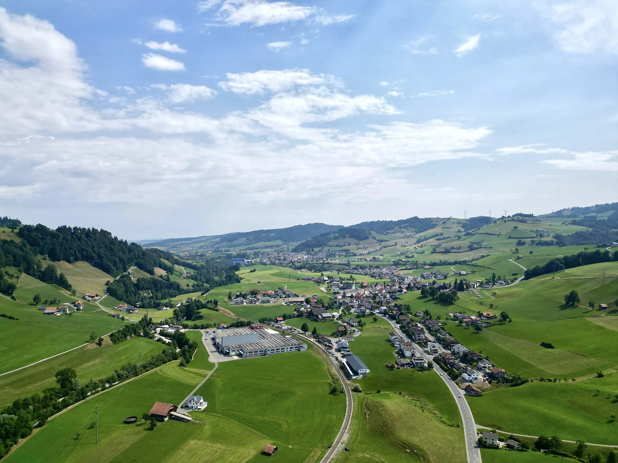
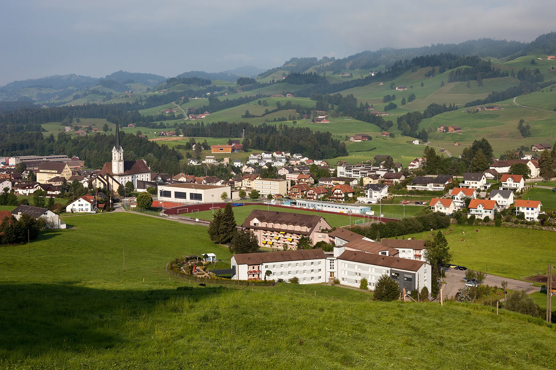
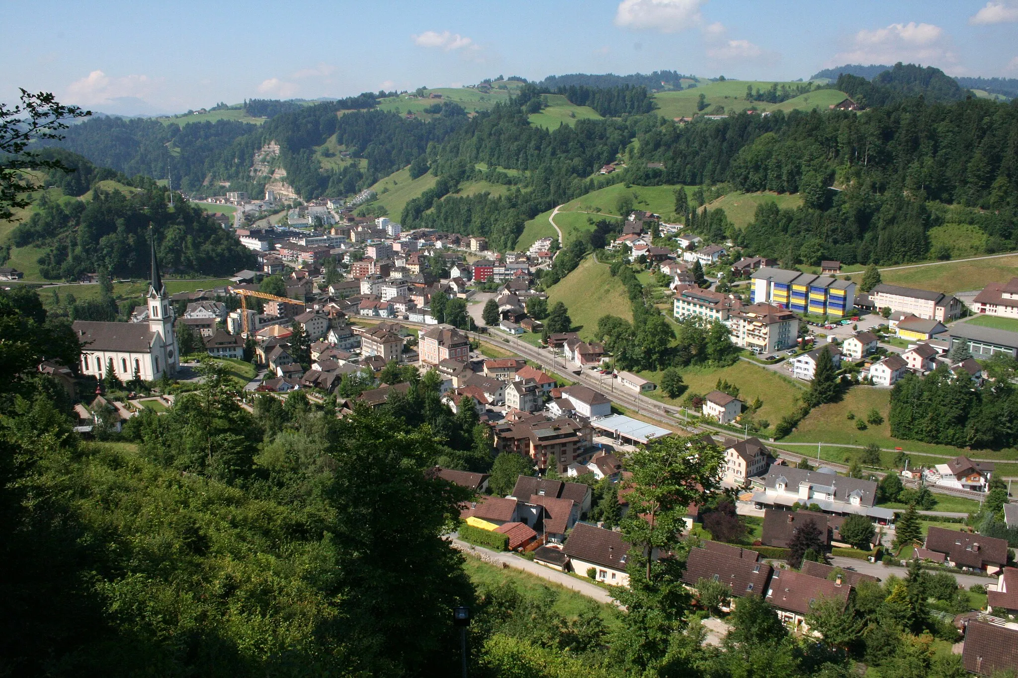
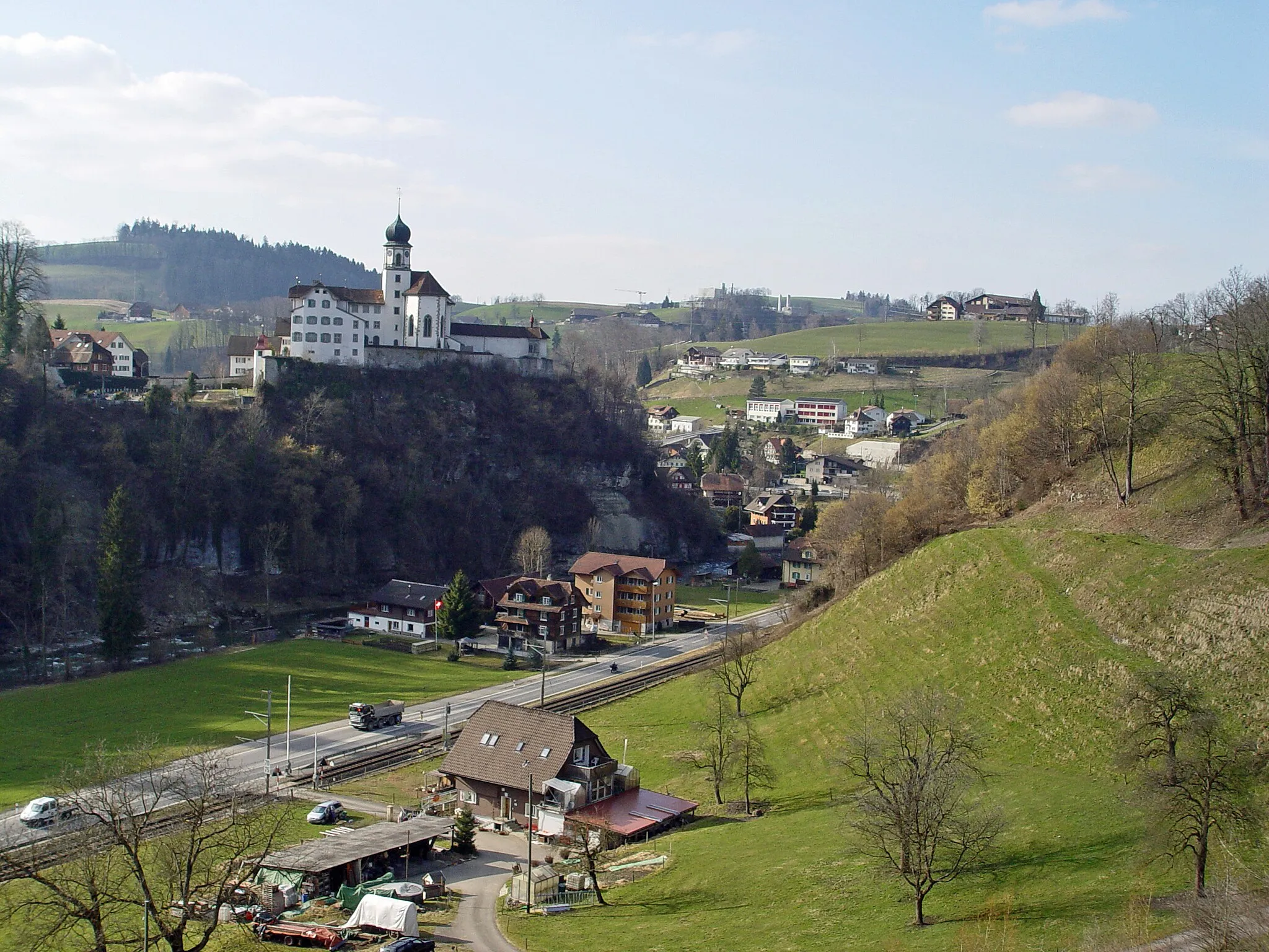
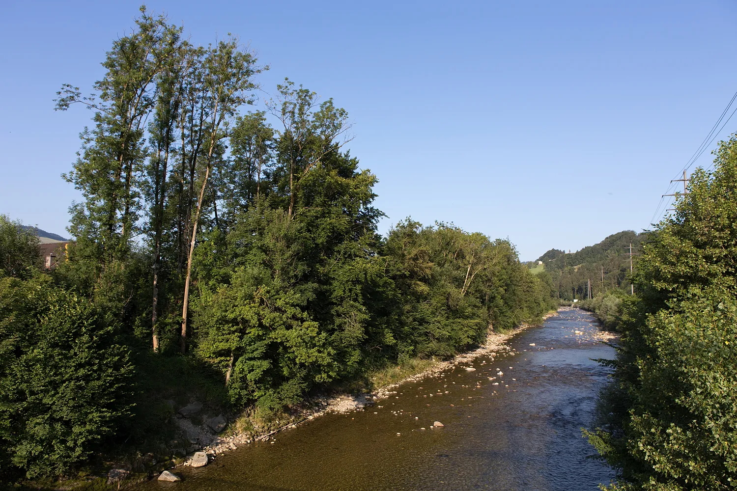
Start: Entlebuch Village centerEntlebuch: Cyclist's Paradise in Zentralschweiz
Entlebuch, situated in Zentralschweiz, Switzerland, is a cyclist's paradise offering a variety of scenic routes. The region is known for its stunning landscapes, including rolling hills and sweeping meadows, making it a great location for road and gravel cyclists seeking natural beauty. One of the highlights is the famous Brünig Pass, a challenging climb frequented by experienced cyclists. Whether you're a seasoned rider or an amateur cyclist looking for an awe-inspiring backdrop, Entlebuch is the perfect destination.14 km
14 km
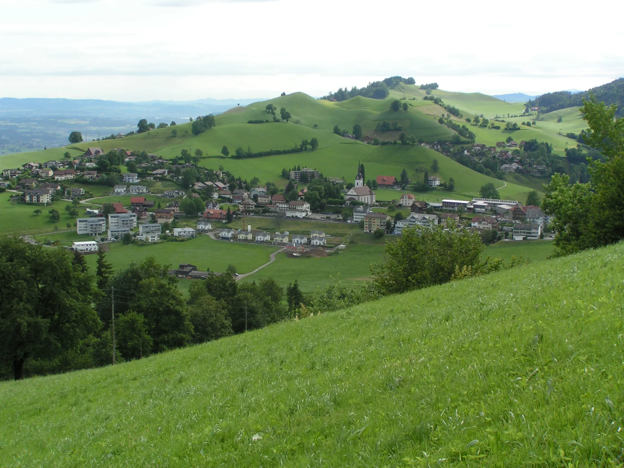
FlühliVillageReach Flühli, a charming mountain village known for its traditional Alpine architecture and panoramic views.
26 km
26 km
Achs1704 mPeakPass through Achs, a picturesque hamlet nestled in the hills, offering a peaceful and scenic stop.
31 km
31 km
BumbachVillageDiscover Bumbach, a hidden gem surrounded by lush meadows and dense forests, providing a serene and tranquil atmosphere.
42 km
42 km
Turner1306 mPeakArrive at Turner, a famous viewpoint offering stunning vistas of the surrounding mountains and valleys.
56 km
56 km
SüderenHamletClimb the challenging Süderen, a renowned ascent favored by professional cyclists, and enjoy the satisfaction of reaching its summit.
71 km
71 km
SignauVillagePass Signau, a quaint village with charming timber-framed houses and a peaceful atmosphere.
79 km
79 km
Chrüzhöchi847 mMountain PassExperience the thrill of cycling the Chrüzhöchi pass, surrounded by breathtaking alpine views and challenging hairpin bends.
89 km
89 km
Guggchnubel1023 mPeakPedal your way to Guggchnubel and take in the panoramic views of the rolling Swiss countryside.
92 km
92 km
EscholzmattVillageTraverse Escholzmatt, a picturesque village surrounded by idyllic meadows and alpine pastures.
110 km
110 km
Finish: Entlebuch Village centerEntlebuch: Cyclist's Paradise in Zentralschweiz
Cycling routes from Entlebuch:
Cycling routes nearby: