Gravel Adventure through Muotathal
A gravel cycling route starting from Gersau
Embark on a thrilling gravel adventure through the picturesque Muotathal Valley
Map
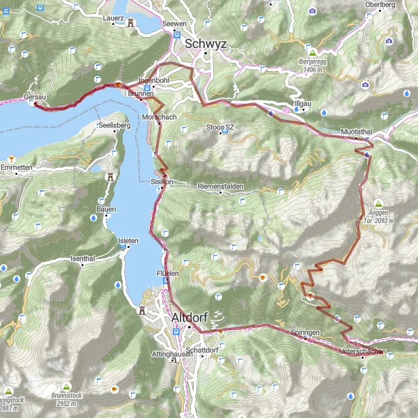
Experience the thrill of an off-road cycling adventure with this unique gravel route near Gersau. Stretching over 91 km and featuring an ascent of 3,498 meters, this challenging route is designed for gravel bikes and experienced riders. The journey takes you through breathtaking landscapes, remote mountain trails, and hidden gems of the Muotathal Valley. Get ready to embrace the rugged beauty of Switzerland while conquering epic climbs and enjoying panoramic views.
gravel
91 km
3498 m
Savage
Route profile
Highlights on the route
0 km
0 km
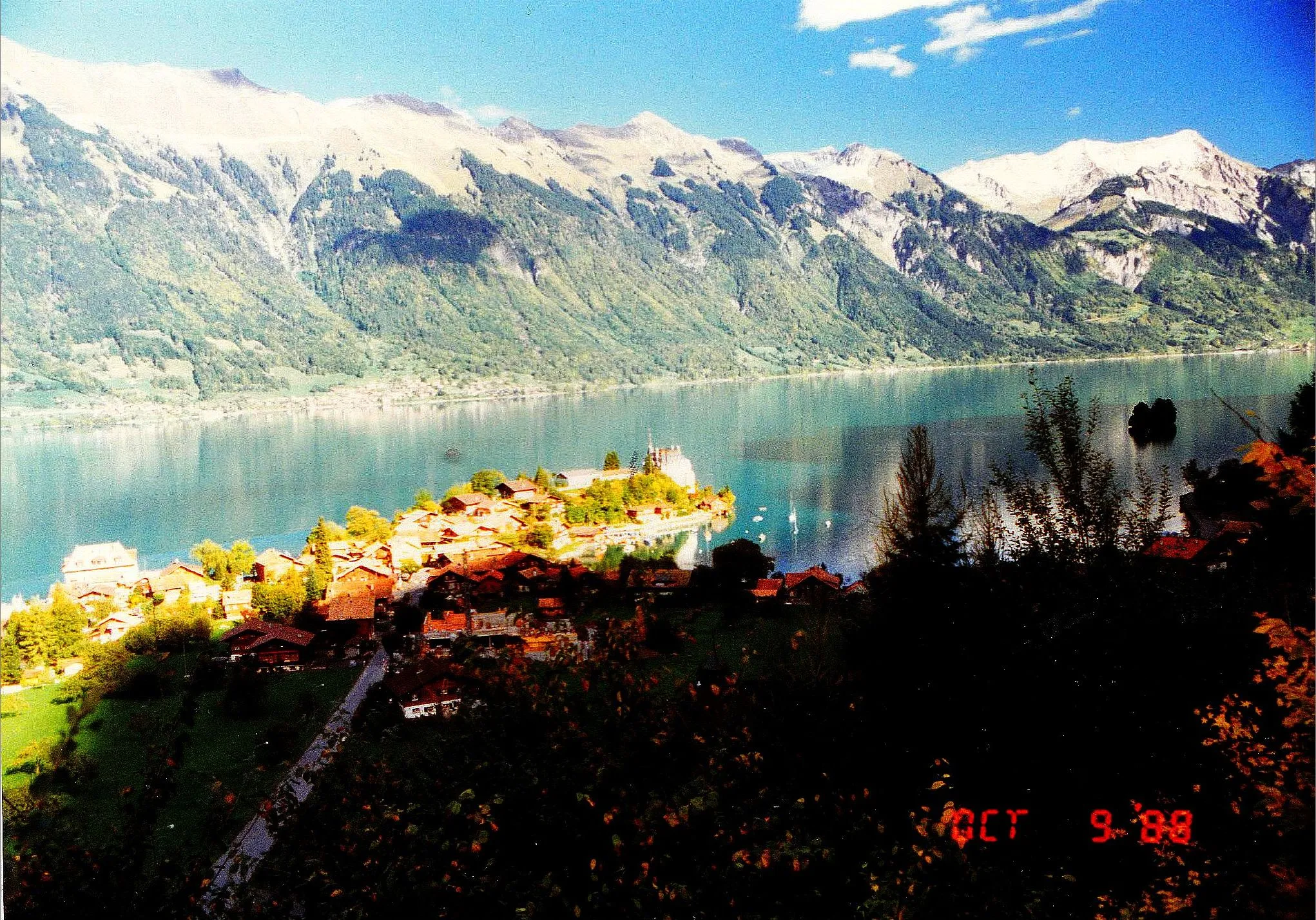
Start: Gersau Village centerGersau: Conquer the legendary Gotthard Pass in Zentralschweiz
Gersau is located in Zentralschweiz, Switzerland. From a cyclist's perspective, the locality offers a mix of flat terrains and steep climbs, providing diverse routes suitable for road and gravel cycling. The roads are well-maintained and offer beautiful views of Lake Lucerne and its surrounding mountains. Nearby, cyclists can test their skills on the iconic Gotthard Pass, one of the most famous climbs in Switzerland. Gersau serves as an excellent base for exploring the Swiss Alps and experiencing challenging rides in a breathtaking setting. Overall, Gersau is a cyclist's dream destination.2 km
2 km
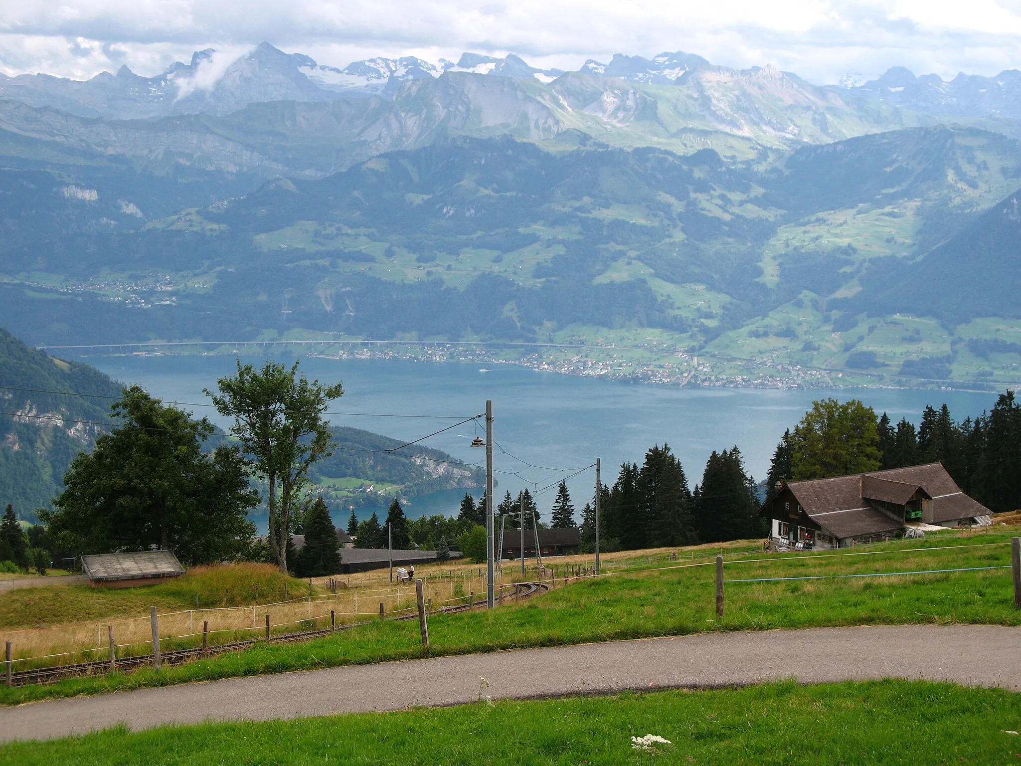
Lake LucerneLakeLake Lucerne, located 2 km into the route, offers a serene backdrop and serves as the starting point of the adventure.
7 km
7 km
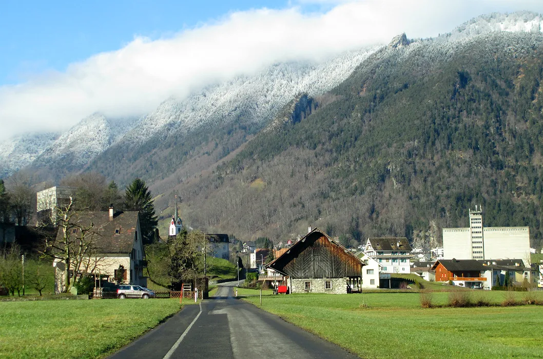
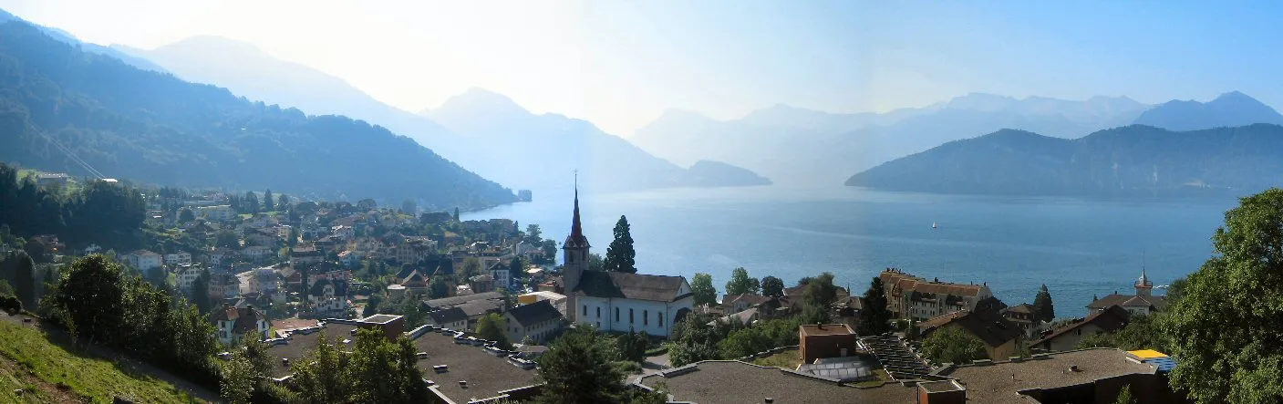
IngenbohlVillageAt 7 km, you'll pass by Ingenbohl, a charming village known for its architectural heritage and remarkable facades.
22 km
22 km
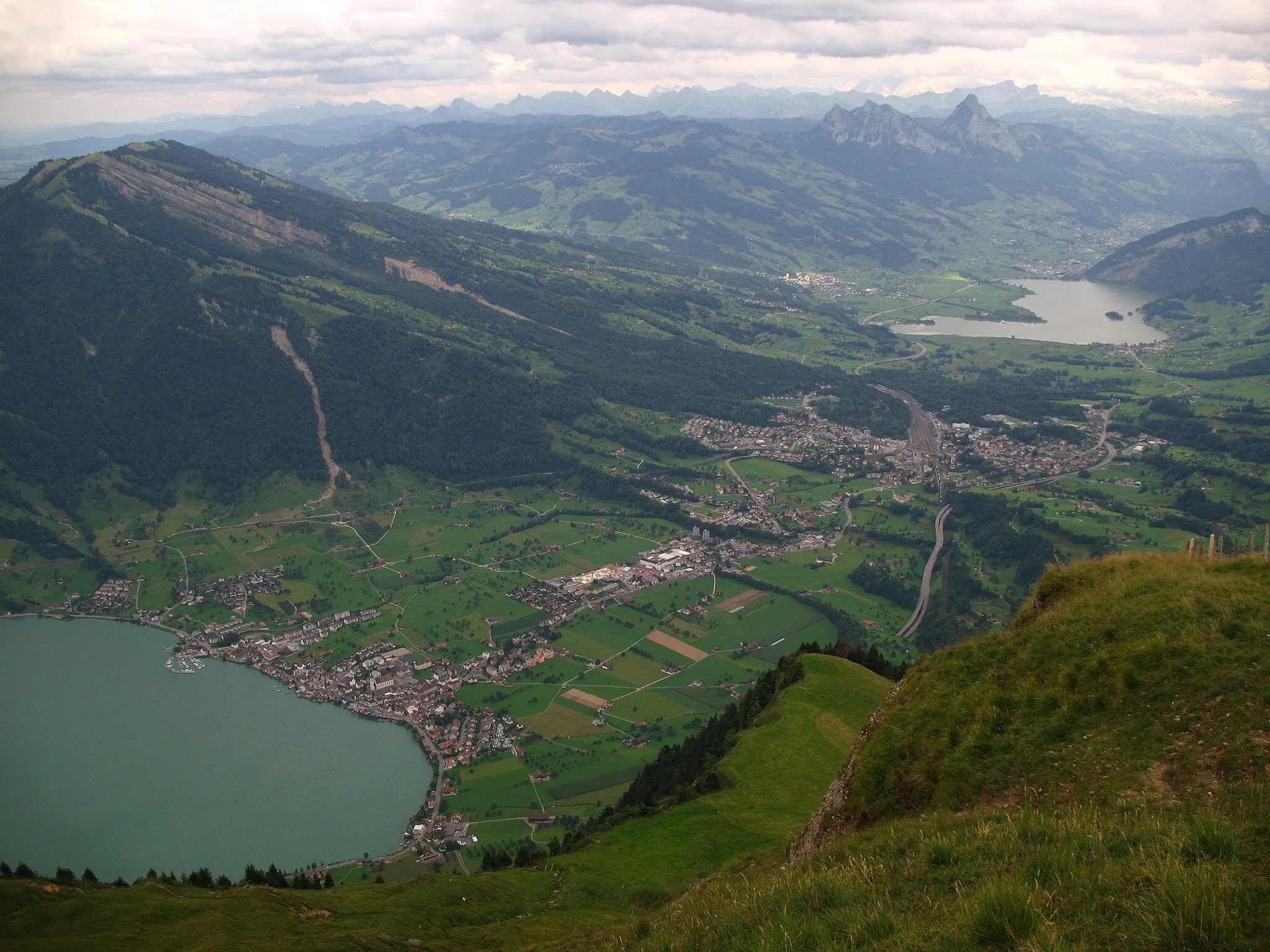
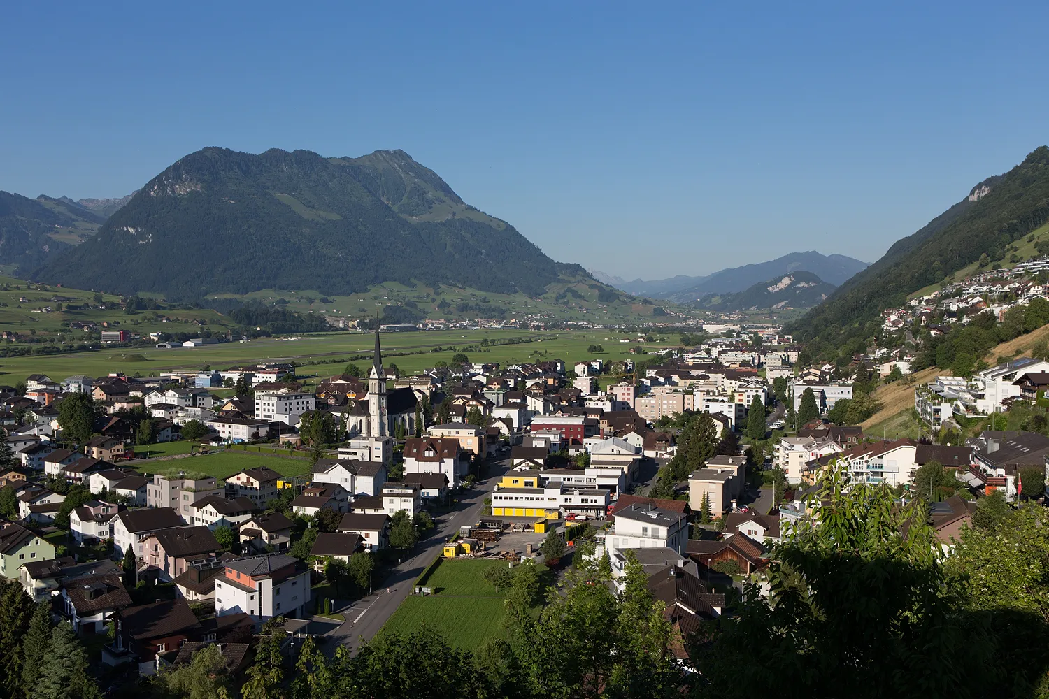
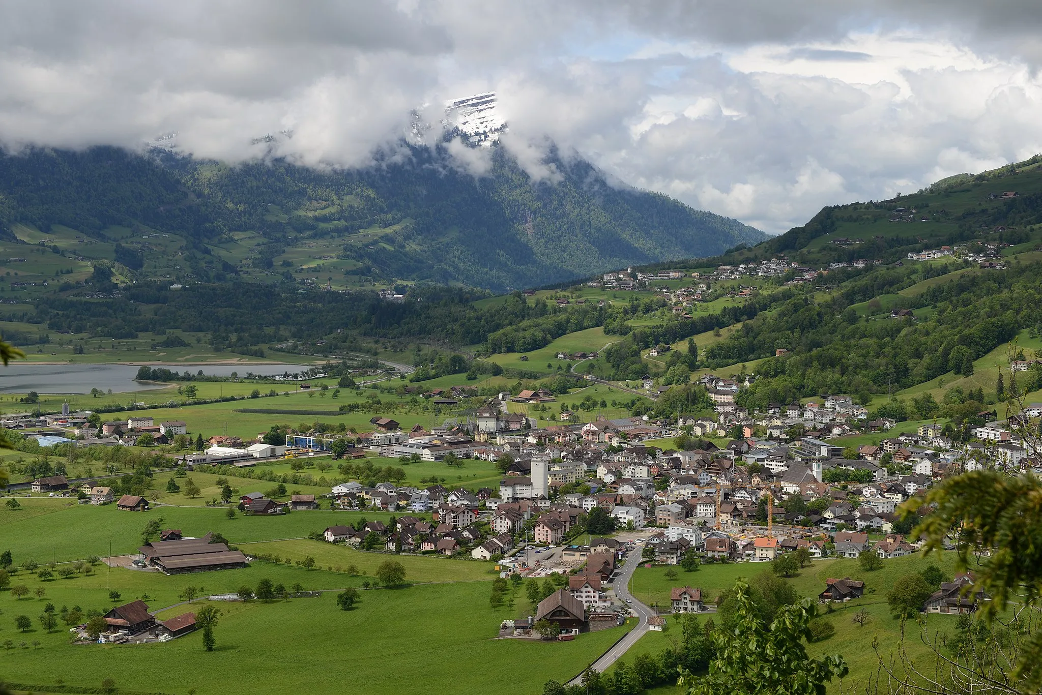
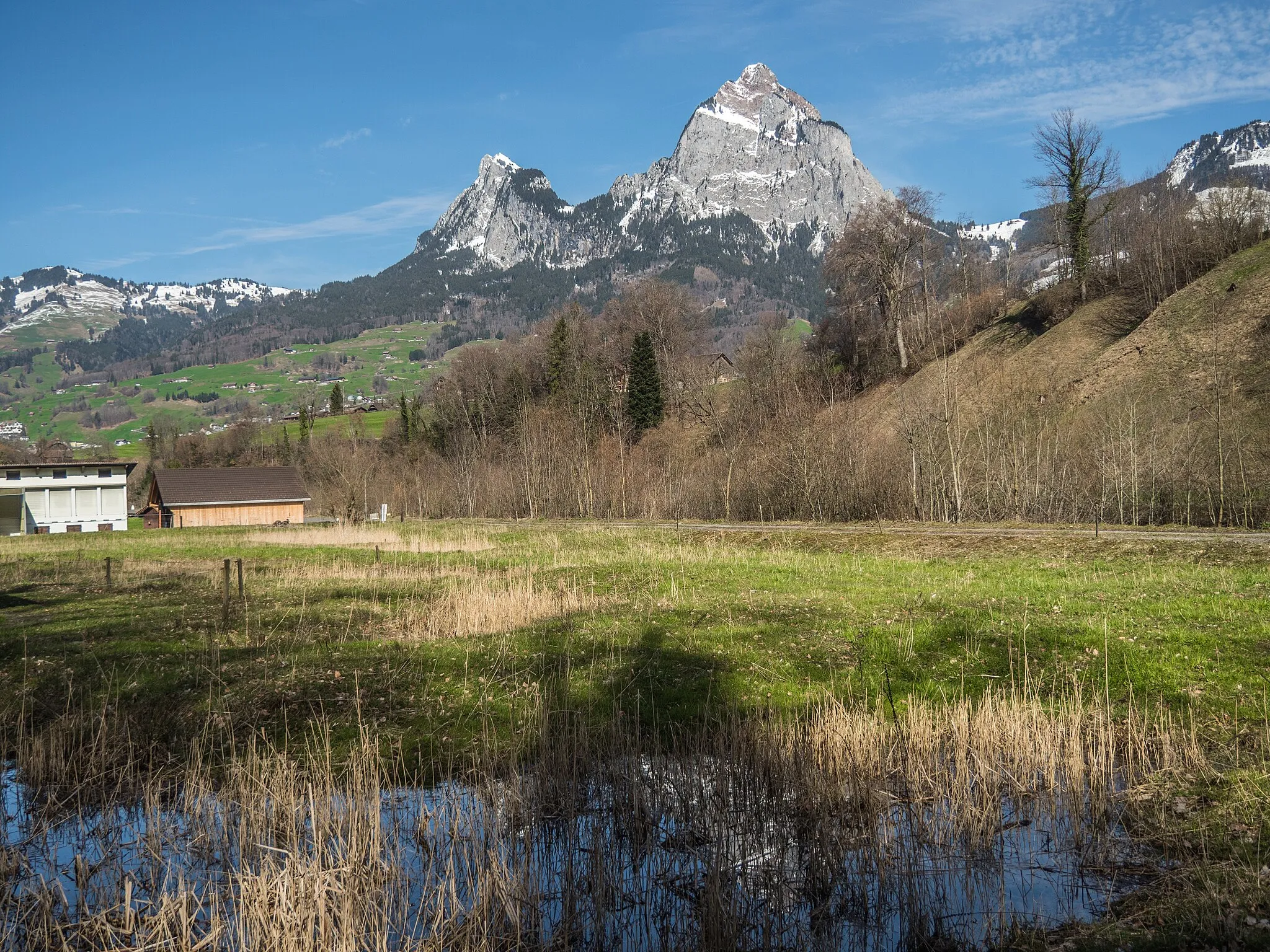
MuotathalVillageAfter 22 km, you'll enter Muotathal, a hidden gem of Switzerland featuring spectacular nature and traditional ambiance.
24 km
24 km
GletschermühlenViewpointAt 24 km, make sure to visit the Gletschermühlen, impressive glacial mills sculpted by past natural forces.
38 km
38 km
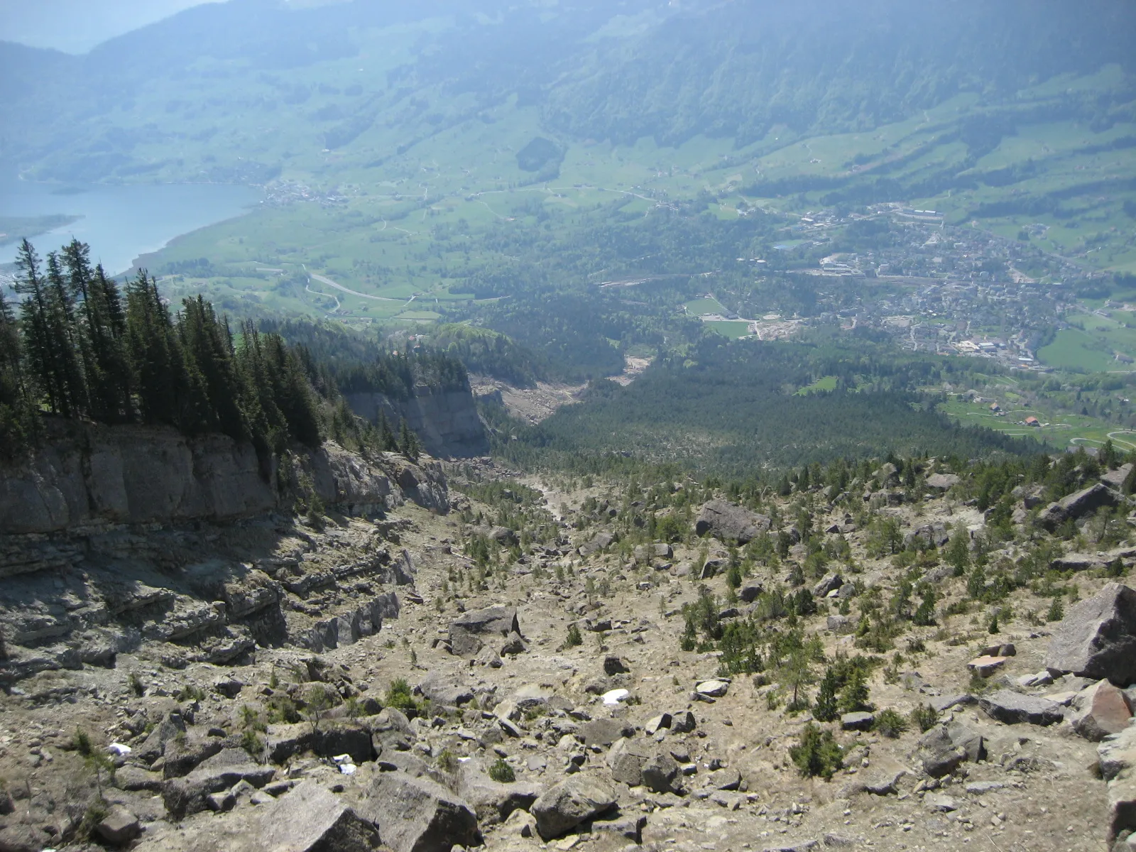
Chinzig Chulm2073 mMountain PassThe Chinzig Chulm pass awaits at 38 km, providing exhilarating views of deep valleys and towering mountain ranges.
56 km
56 km
SpiringenVillageAt 56 km, pause in Spiringen, a charming village offering quiet streets, traditional houses, and stunning alpine scenery.
65 km
65 km
AltdorfTownAfter 65 km, you'll reach Altdorf, the legendary Swiss town famous for its connection to Wilhelm Tell.
81 km
81 km
AxensteinViewpointStop at Axenstein, located at 81 km, where you can enjoy a beautiful lake panorama and relax in tranquil surroundings.
91 km
91 km
GersauVillageFinally, return to Gersau, the starting and endpoint of the adventure, and allow yourself to celebrate the successful gravel experience in this idyllic lakeside village.
91 km
91 km
Finish: Gersau Village centerGersau: Conquer the legendary Gotthard Pass in Zentralschweiz
Cycling routes from Gersau:
Gravel Adventure through Muotathal Scenic Road Tour to Einsiedeln The Gravel Paradise The Swiss Gravel Challenge Scenic Ride to Vitznau and Weggis The Brunnen Loop Lake Lucerne and the Golden Circle The Ultimate Gravel Challenge Panoramic Ride around the Rigi Gersau Circular Road Cycling Route Road Cycling Adventure around Gersau
Cycling routes nearby: