Conquer the legendary Stanserhorn climb in picturesque Stans
Cycling routes from Stans
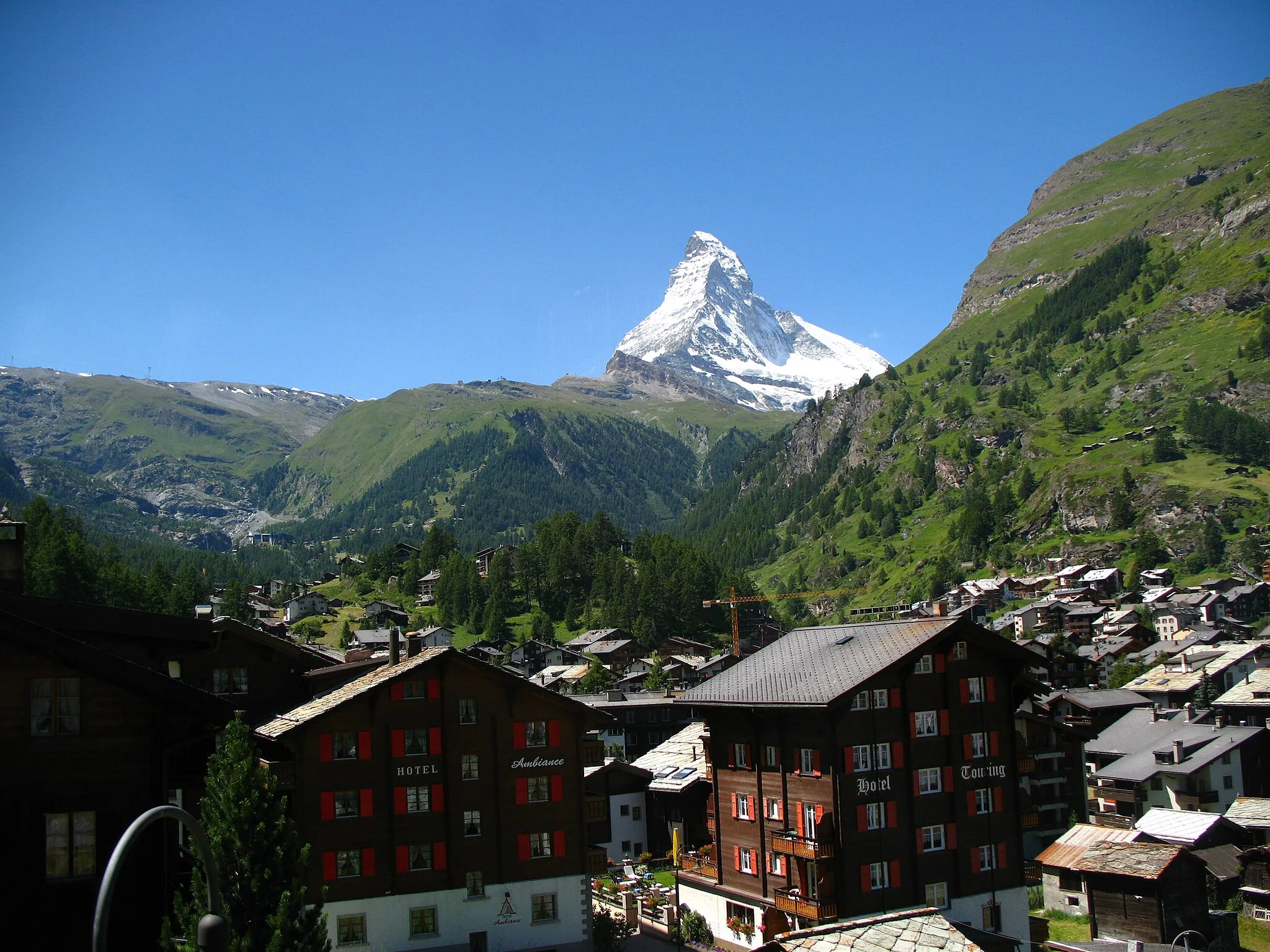
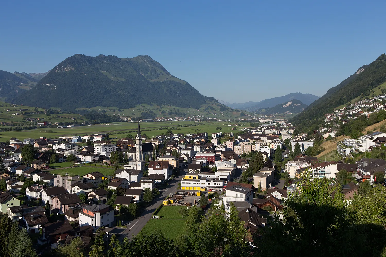
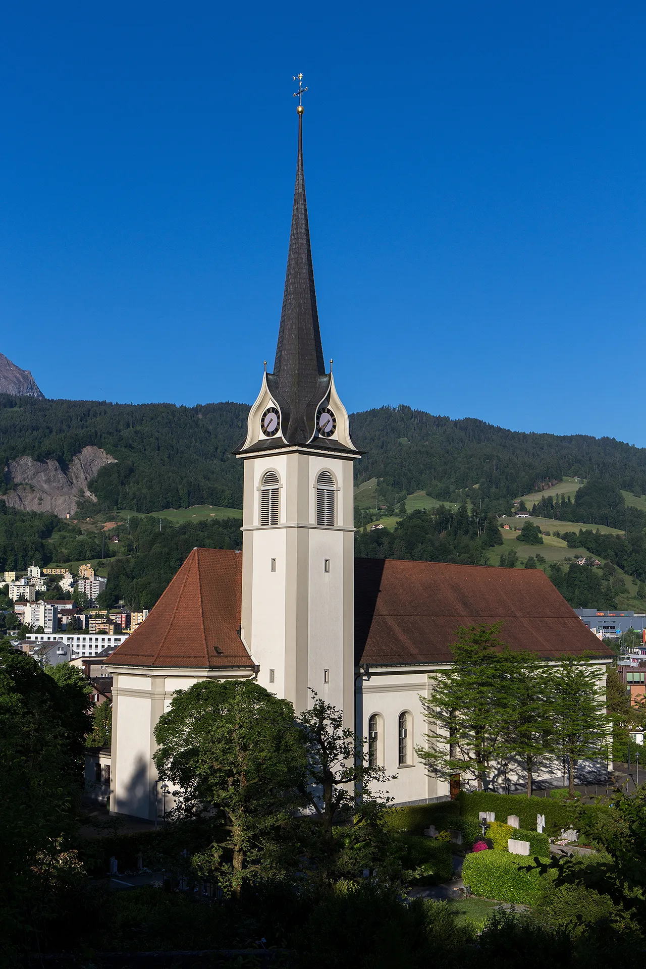
Stans in Switzerland is a haven for road and gravel cyclists. The region offers breathtaking views of mountains and pristine lakes, creating a picturesque backdrop for cycling enthusiasts. The well-maintained roads and dedicated cycling paths make it a cyclist-friendly area. One of the notable cycling landmarks nearby is the Stanserhorn, which offers a challenging climb for experienced riders. With its stunning landscapes and cycling infrastructure, Stans is an excellent choice for cyclists seeking adventure and natural beauty.
Experience a challenging journey from Stans to Kriens
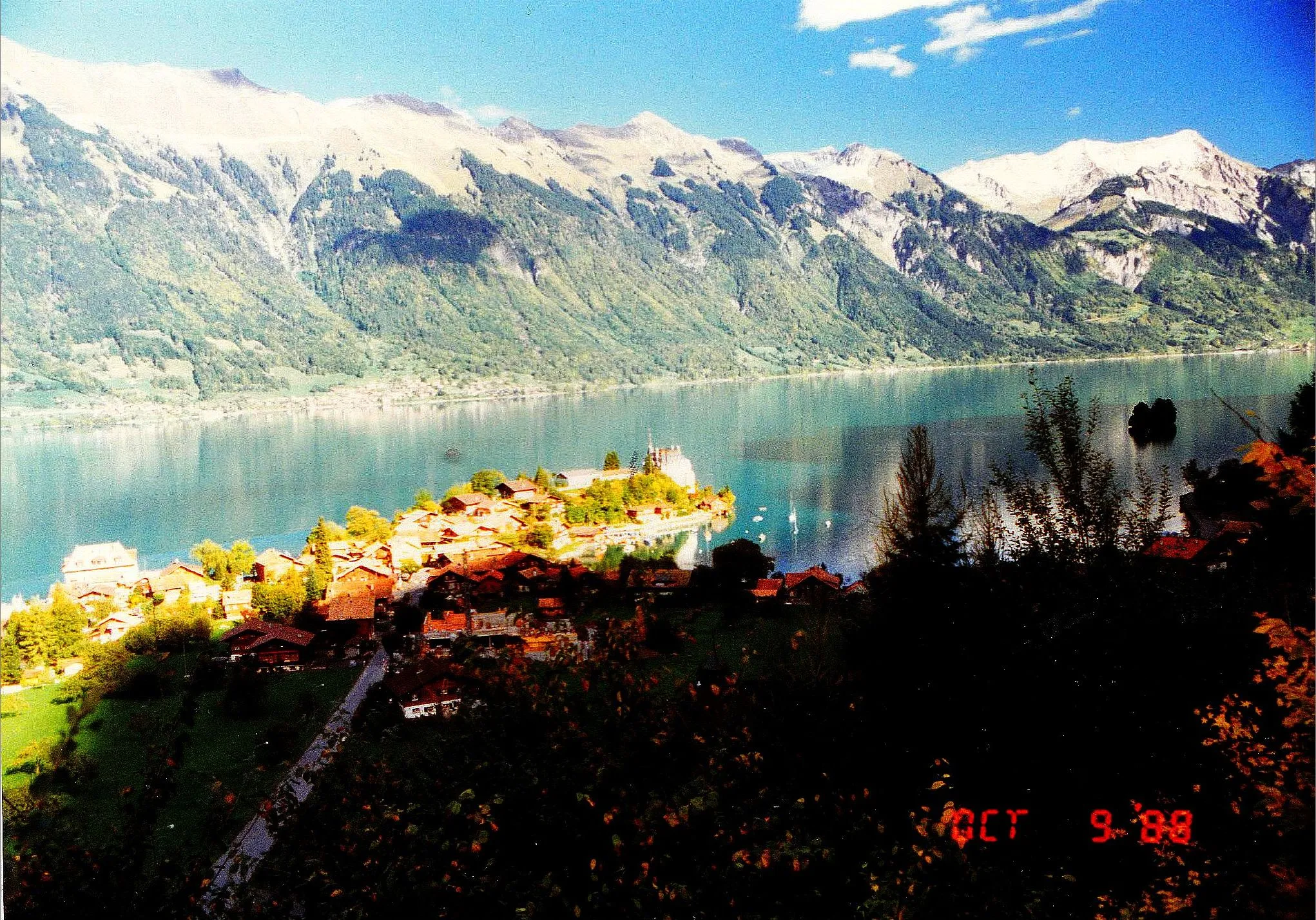
Embark on a challenging road journey from Stans to Kriens. With an ascent of 2214 meters and a distance of 98 kilometers, this route offers a thrilling cycling adventure. Take in the picturesque views of Rotzberg, Kerns, Sarnersee, and other scenic spots along the way. The Sarnersee, a beautiful lake surrounded by mountains, is a highlight of this route. Don't miss the opportunity to climb Sonnenberg and enjoy the breathtaking panoramic views of the area.
Alpine Adventure
A challenging road cycling route with breathtaking alpine views
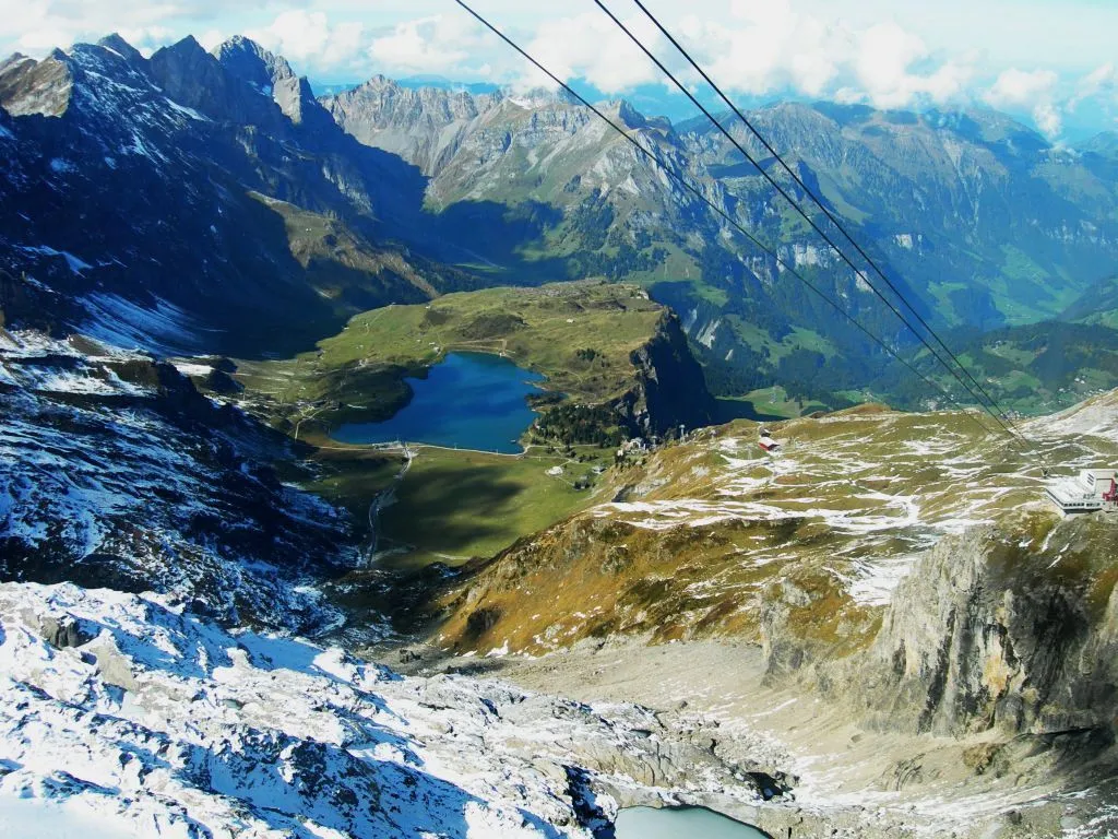
This route starting near Stans is perfect for experienced road cyclists looking for a challenging, scenic ride. With a total ascent of 2,815 meters and a distance of 121 kilometers, this alpine adventure will test your endurance and reward you with stunning mountain vistas. Along the way, you'll pass through picturesque towns and iconic landmarks like Sarnen and Sarnersee. The highlight of the route is the famous Brünig Pass, located at an elevation of 1,009 meters. This legendary climb offers panoramic views and a thrilling descent on the other side. Overall, this route showcases the beauty of the Swiss Alps and is a must-do for avid road cyclists.
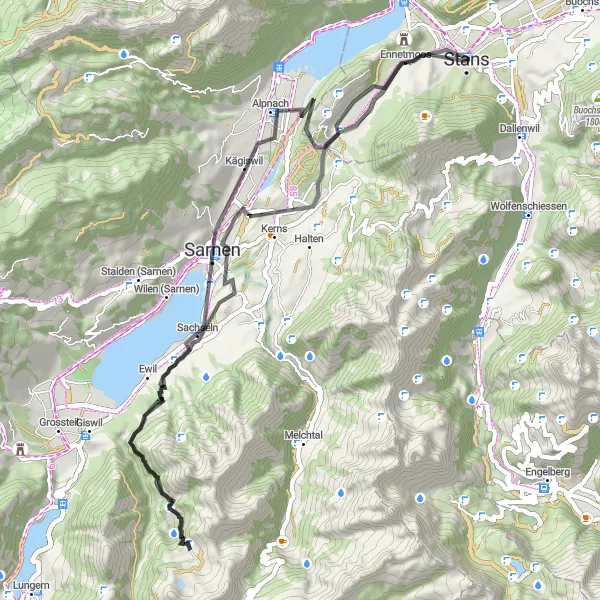
Experience the unique gravel roads from Stans to Zingel
This gravel route takes you from Stans to Zingel, offering a distinct and unique cycling experience. With an ascent of 296 meters and a distance of 25 kilometers, this route is suitable for intermediate level cyclists. Enjoy the beautiful scenery along the way and take in the tranquility of the surrounding nature.
Embark on a scenic gravel cycling route, exploring the picturesque towns of Horw and Inwil near Stans.
This scenic gravel cycling route takes you through the charming towns of Horw and Inwil, offering picturesque landscapes and off-road adventures. With a distance of 63 kilometers and an ascent of 525 meters, this route is suitable for riders of all levels. Highlights along the route include Horw, Kirchfeld, Gletschergarten-Turm, Ebikon, Gisikon, Inwil, Männliturm, Rotzberg, and Stans. Rated 2 out of 5 for difficulty, this route is perfect for casual riders seeking a leisurely gravel ride. Boasting an epicness rating of 3 out of 5, it offers scenic views and visits to local attractions.
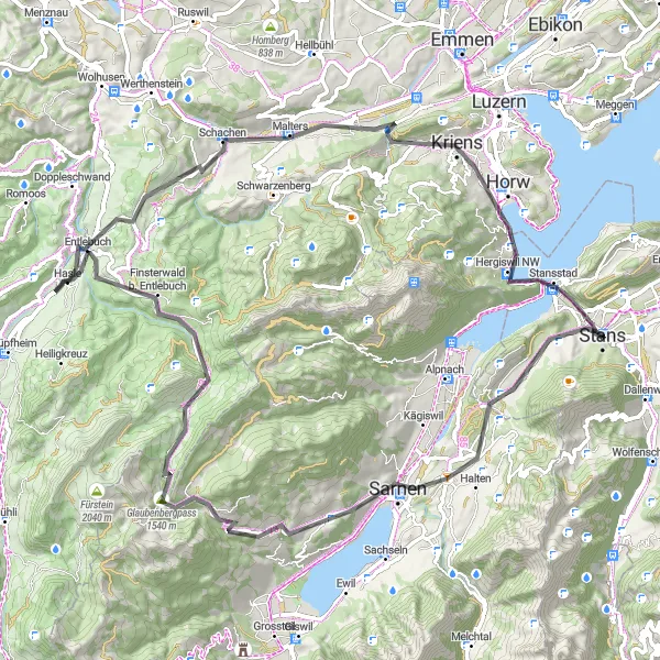
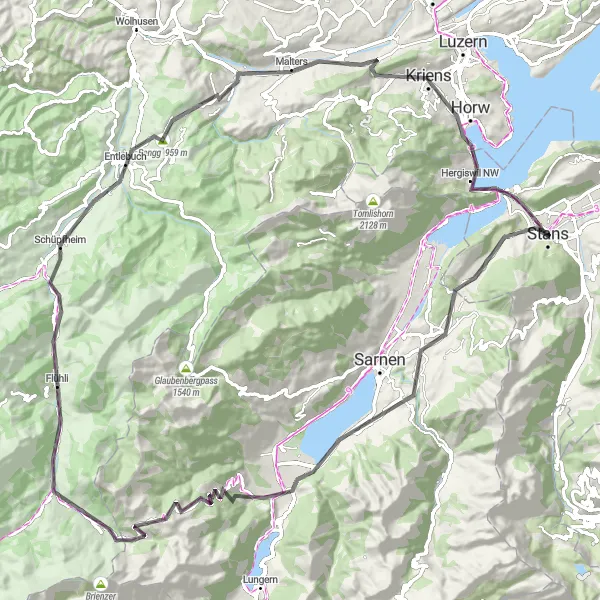
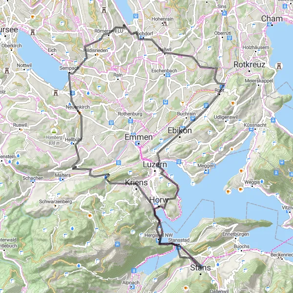
An exhilarating circular road cycling route starting from Stans and passing through scenic landscapes and challenging ascents.
This circular road cycling route starting from Stans offers stunning views of the Swiss countryside and challenging ascents that will test even the most experienced cyclists. The route covers a distance of 84 kilometers and includes highlights such as Rotzberg, Sarnen, Glaubenbergpass, and Haslihorn. With an ascent of 2042 meters, this route is suitable for well-trained amateurs seeking an exciting challenge. The epicness of this route is rated 4 out of 5 for its scenic beauty and demanding climbs.
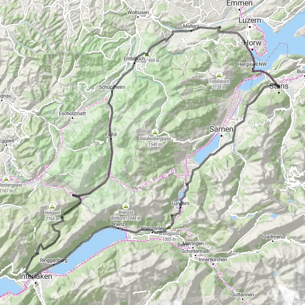
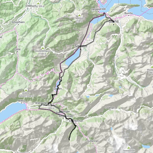
Embark on an epic cycling adventure from Stans to Brünigpass
This road route from Stans to Brünigpass is an epic cycling adventure. With a challenging ascent of 3645 meters and a distance of 151 kilometers, this route is best suited for experienced and well-trained cyclists. The scenic beauty along the way will leave you awe-inspired, with picturesque views of Sachseln, Brienzwiler, Unterseen, and more. The highlight of this route is the iconic Brünigpass, a legendary climb and famous cycling spot.
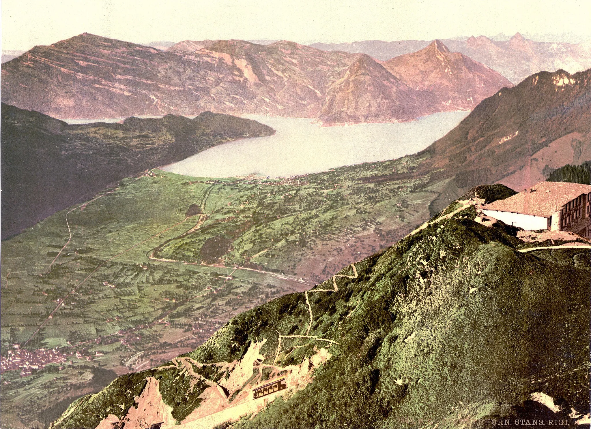
Lake and Mountain Views
A scenic road cycling route with panoramic views of lakes and mountains
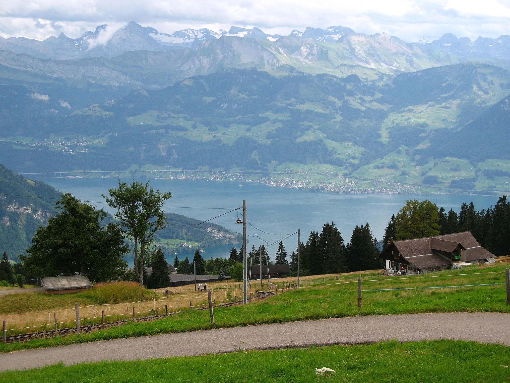
If you're looking for a shorter but equally stunning road cycling route, this 62-kilometer ride starting near Stans is perfect for you. With a total ascent of 1,942 meters, this route combines challenging climbs with breathtaking views. Along the way, you'll pass by the picturesque towns of Zingel and Alpnach, and ride through beautiful natural landscapes. One of the highlights of this route is Meisengütsch, a mountain with panoramic views of Lake Lucerne and the surrounding mountains. Another must-see spot is Feuerstelle Kreuzegg, where you can take a break and enjoy a picnic with a view. Overall, this route offers a taste of Switzerland's natural beauty and is suitable for intermediate cyclists.
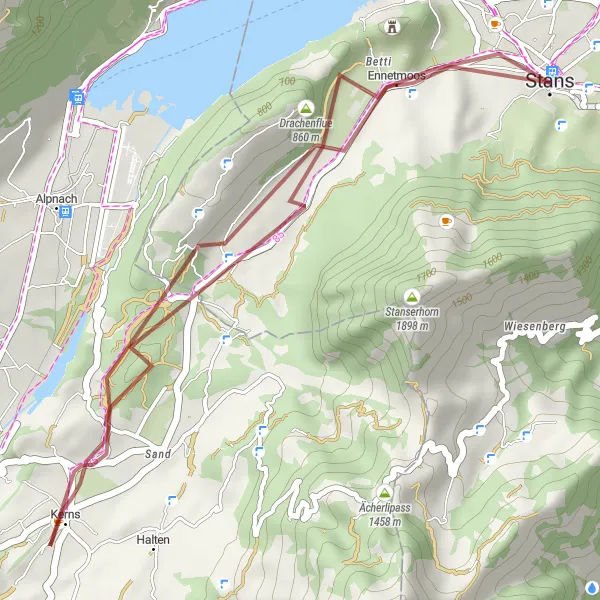
Embark on a thrilling gravel cycling adventure near Stans, exploring picturesque landscapes and hidden gems.
This gravel cycling route near Stans offers a unique off-road experience. Spanning a distance of 64 kilometers, the route is suitable for riders seeking an adventurous challenge. With an ascent of 672 meters, this route is less demanding than its road counterpart but still offers an exciting ride. The epicness of this route is rated 3 out of 5 for its scenic beauty and off-road opportunities.
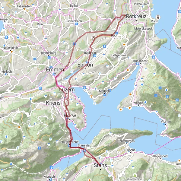
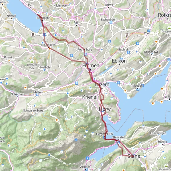
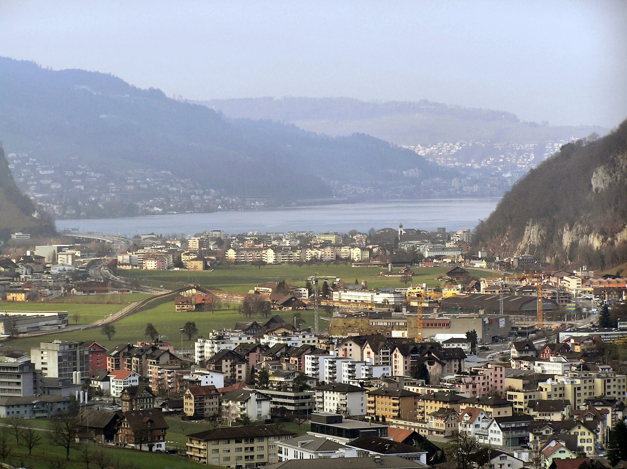
Stans to Lucerne Road Route
Cycle from Stans to Lucerne and discover its picturesque beauty
This road route from Stans to Lucerne is a picturesque cycling journey. With an ascent of 1233 meters and a distance of 87 kilometers, this route is suitable for intermediate level cyclists. Enjoy the stunning views of Stansstad, Sonnenberg, Kriens, and other charming towns along the way. The highlight of this route is the magnificent Haslihorn, a challenging climb that rewards you with breathtaking panoramic views. Don't miss the Wallfahrtskirche Gormund, a unique pilgrimage site in Wallfahrtskirche Gormund.
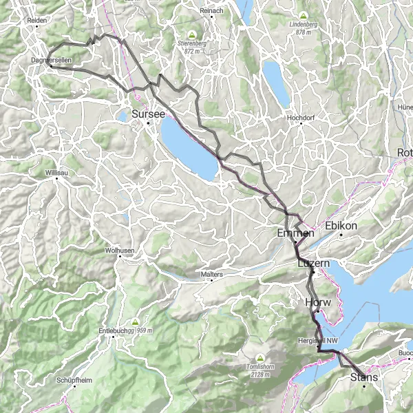
Experience the stunning beauty of Lucerne and its surroundings on this picturesque road cycling route starting from Stans.
This picturesque road cycling route takes you from Stans to Lucerne, showcasing the breathtaking beauty of this iconic Swiss city and its surroundings. With a distance of 114 kilometers and an ascent of 1574 meters, this route is suitable for cyclists looking for a moderate challenge. Highlights along the route include Lucerne, Männliturm, Bloseberg, Dagmersellen, Sempach, Schlössli Schönegg, Rotzberg, and Stans. Rated 3 out of 5 for difficulty, this route is ideal for cyclists with a moderate level of training. Awarded a 4 out of 5 for epicness, it offers stunning views and visits to renowned landmarks.
Cycling routes nearby:

Nearby regions: