Stans to Zingel Gravel Route
A gravel cycling route starting from Stans
Experience the unique gravel roads from Stans to Zingel
Map
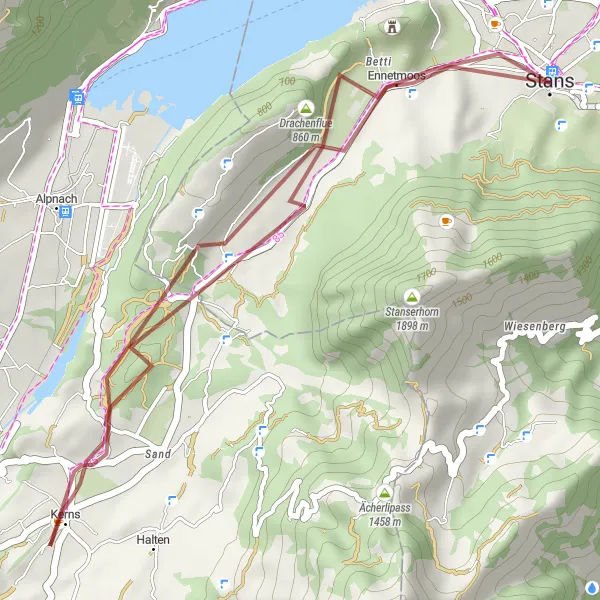
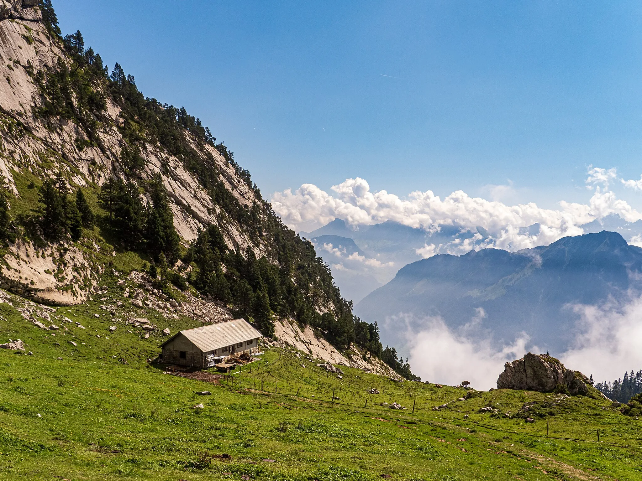
This gravel route takes you from Stans to Zingel, offering a distinct and unique cycling experience. With an ascent of 296 meters and a distance of 25 kilometers, this route is suitable for intermediate level cyclists. Enjoy the beautiful scenery along the way and take in the tranquility of the surrounding nature.
gravel
25 km
296 m
Tough
Route profile
Highlights on the route
0 km
0 km
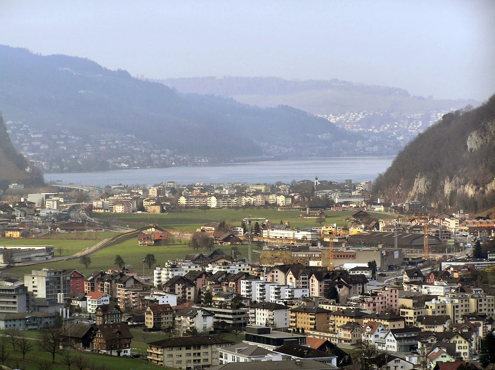
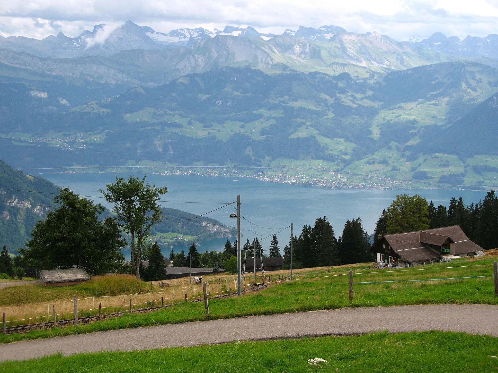
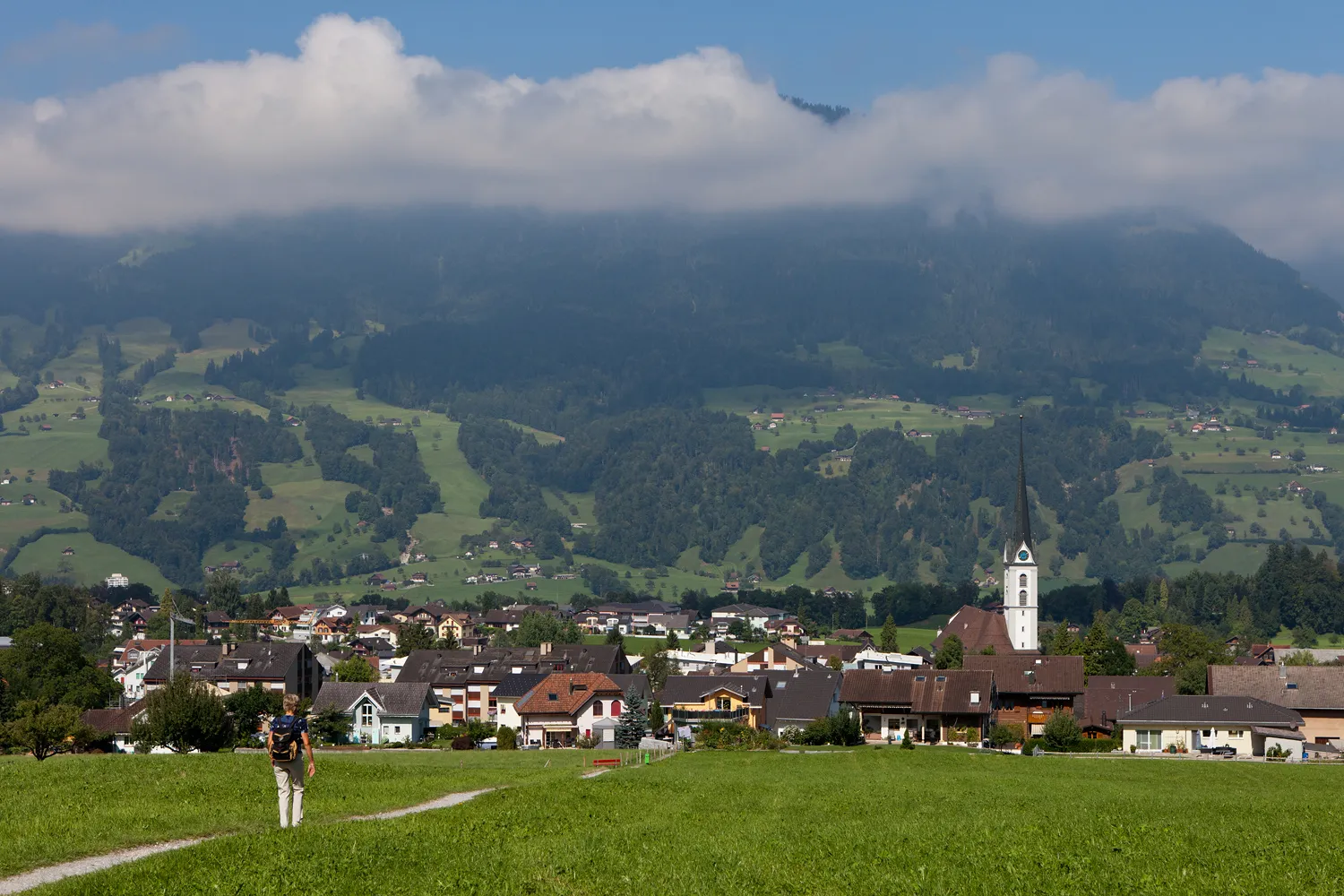
Start: Stans City centerStans: Conquer the legendary Stanserhorn climb in picturesque Stans
Stans in Switzerland is a haven for road and gravel cyclists. The region offers breathtaking views of mountains and pristine lakes, creating a picturesque backdrop for cycling enthusiasts. The well-maintained roads and dedicated cycling paths make it a cyclist-friendly area. One of the notable cycling landmarks nearby is the Stanserhorn, which offers a challenging climb for experienced riders. With its stunning landscapes and cycling infrastructure, Stans is an excellent choice for cyclists seeking adventure and natural beauty.2 km
2 km
Rotzberg672 mCastleStop by Rotzberg and discover its rich historical significance.
12 km
12 km
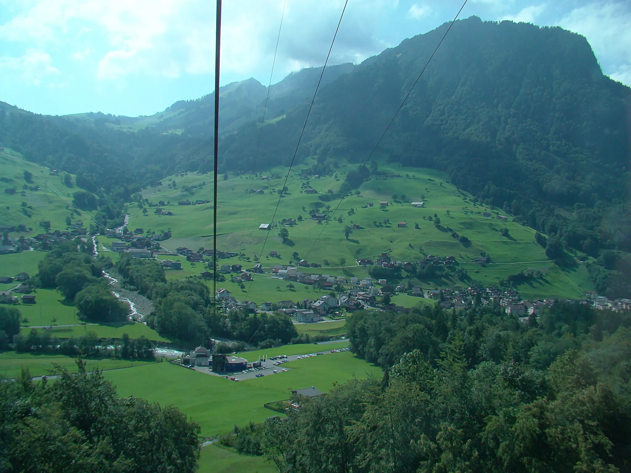
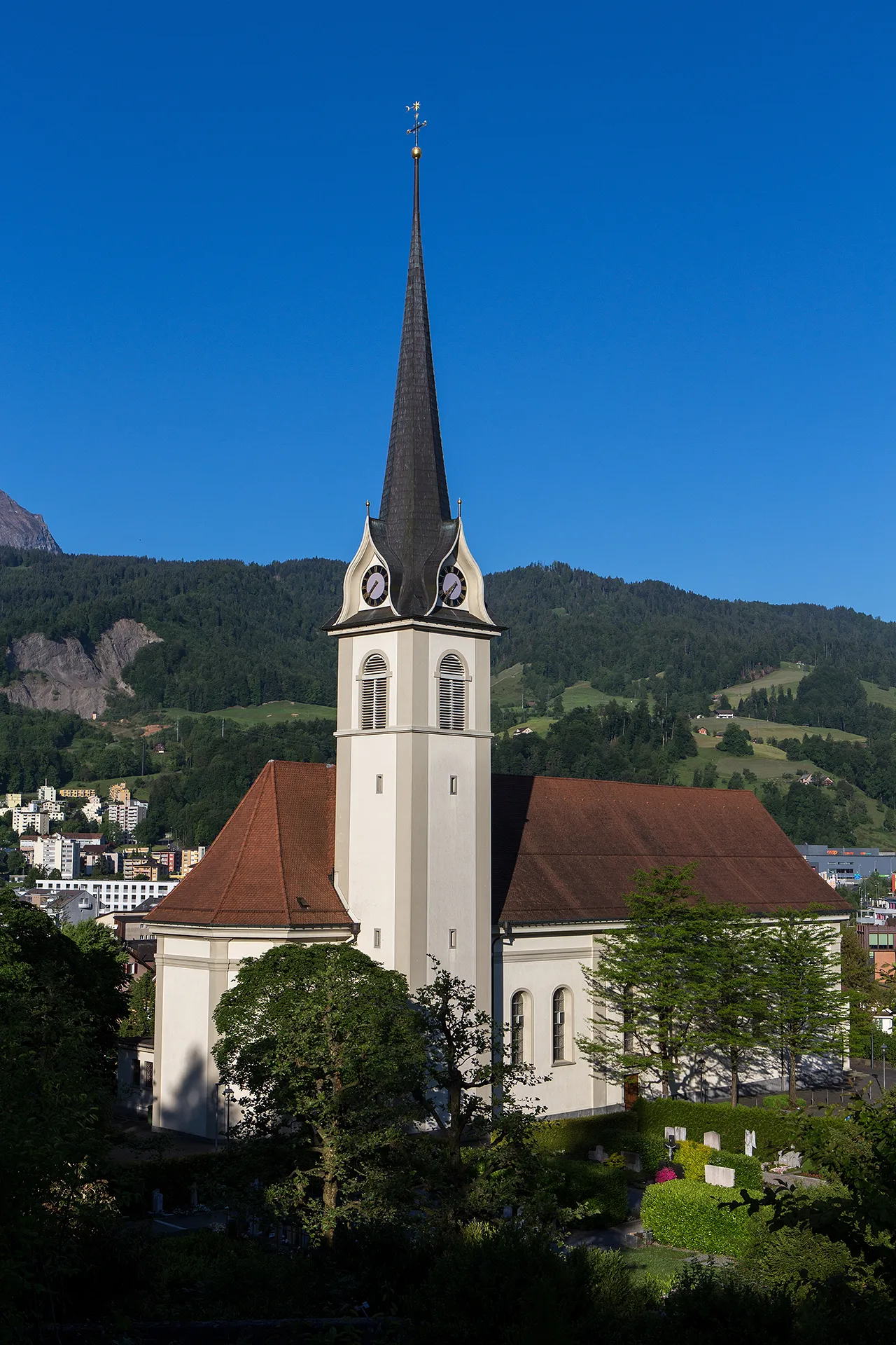
KernsVillagePass through Kerns and admire its charming architecture.
18 km
18 km
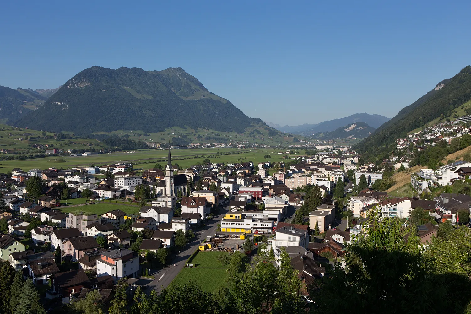
St. JakobHamletVisit the picturesque town of St. Jakob and enjoy its peaceful atmosphere.
20 km
20 km
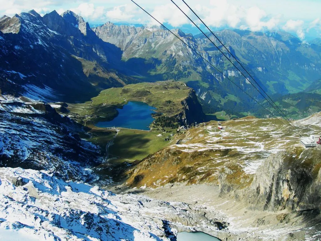
Zingel829 mPeakExplore Zingel and take in the breathtaking views of the surrounding landscapes.
25 km
25 km
Finish: Stans City centerStans: Conquer the legendary Stanserhorn climb in picturesque Stans
Cycling routes from Stans:
Stans to Zingel Gravel Route Stans to Brünigpass Road Route Stans to Lucerne Road Route Stans to Malters Road Route Stans to Kriens Road Route Stans Circular Road Cycling Route Scenic Gravel Cycling Route near Stans Challenging Road Cycling Route from Stans Picturesque Road Cycling Route exploring Lucerne Scenic Gravel Cycling Route through Horw and Inwil Alpine Adventure Lake and Mountain Views
Cycling routes nearby: