Weggis Explorer
A gravel cycling route starting from Weggis
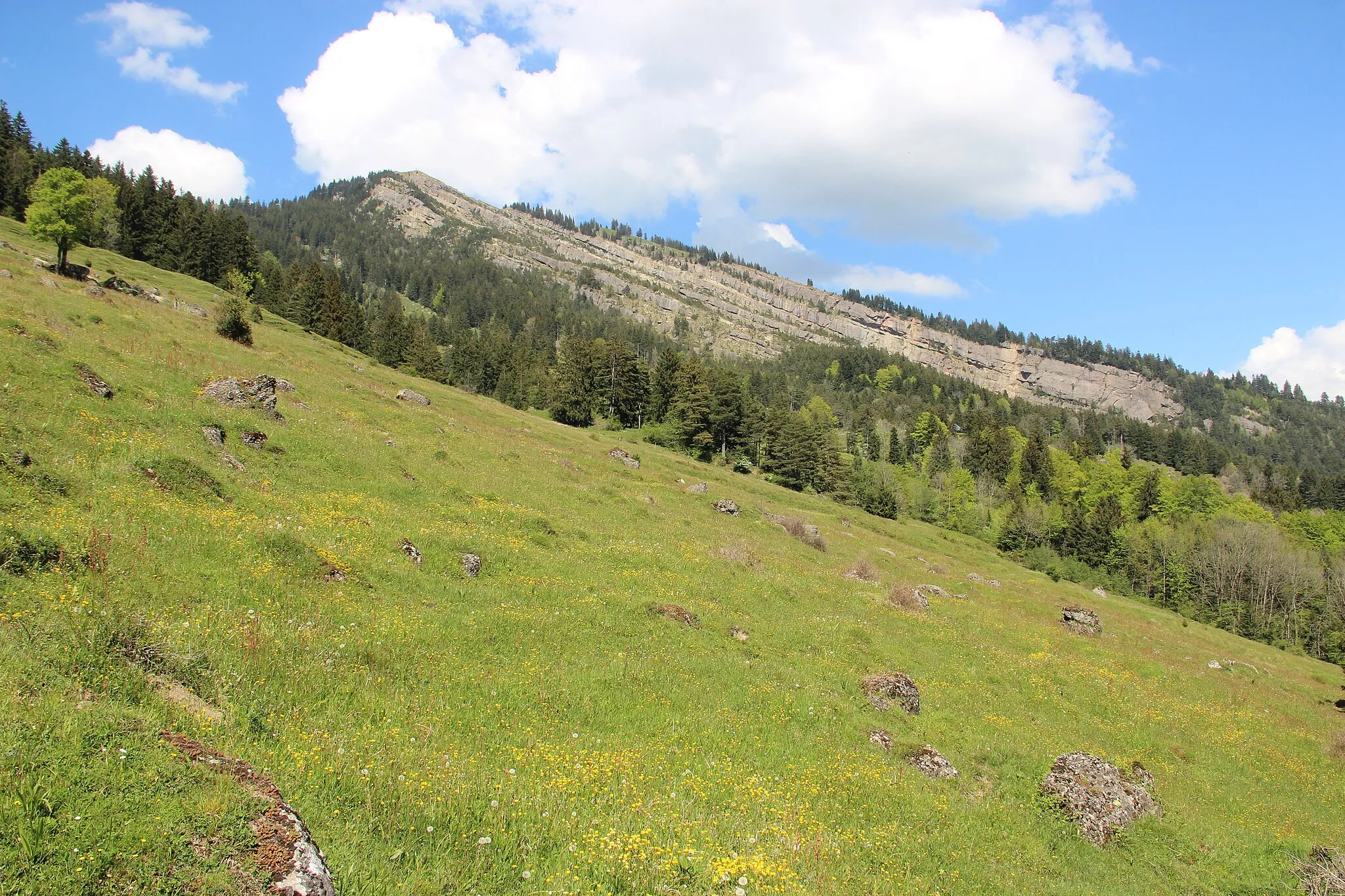
Experience the hidden gems of Weggis and its surrounding area on this exciting gravel cycling route
Map

Discover the picturesque landscapes and breathtaking views around Weggis on this off-road cycling adventure. The route offers a perfect blend of challenging terrains, diverse scenery, and cultural highlights.
gravel
72 km
2848 m
Tough
Route profile
Highlights on the route
0 km
0 km
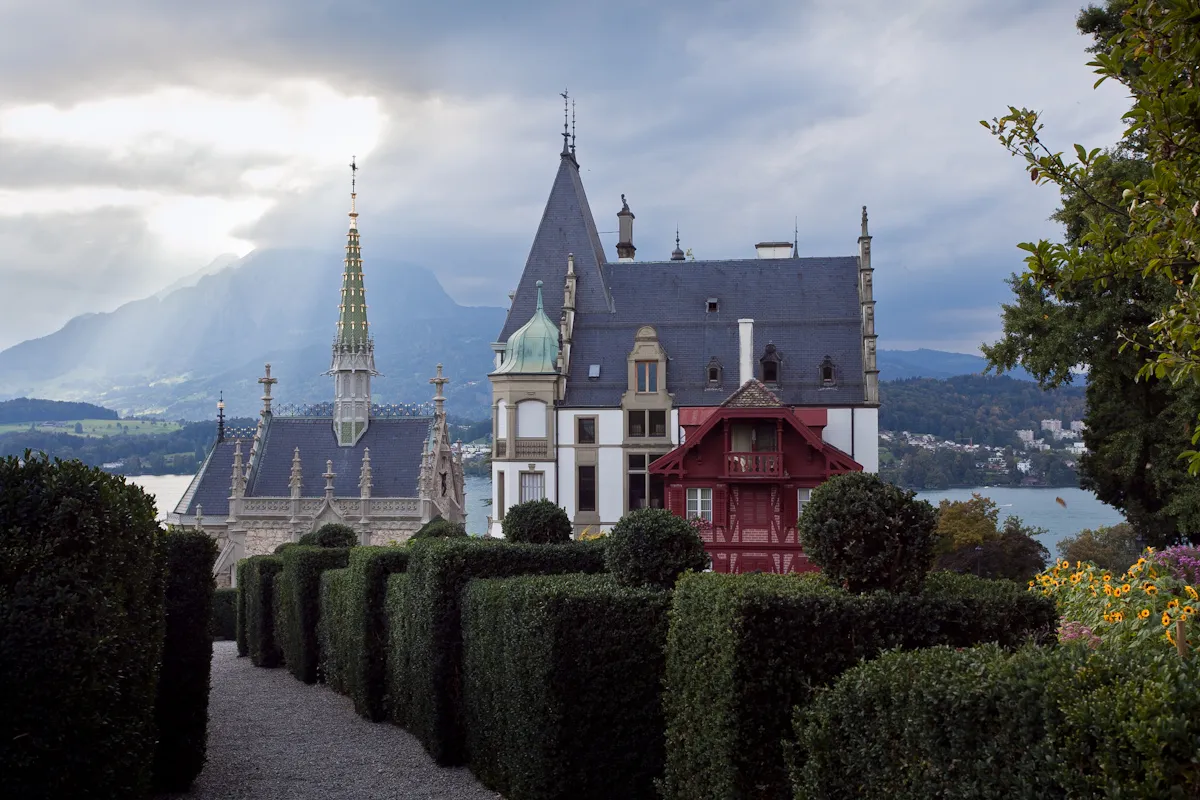
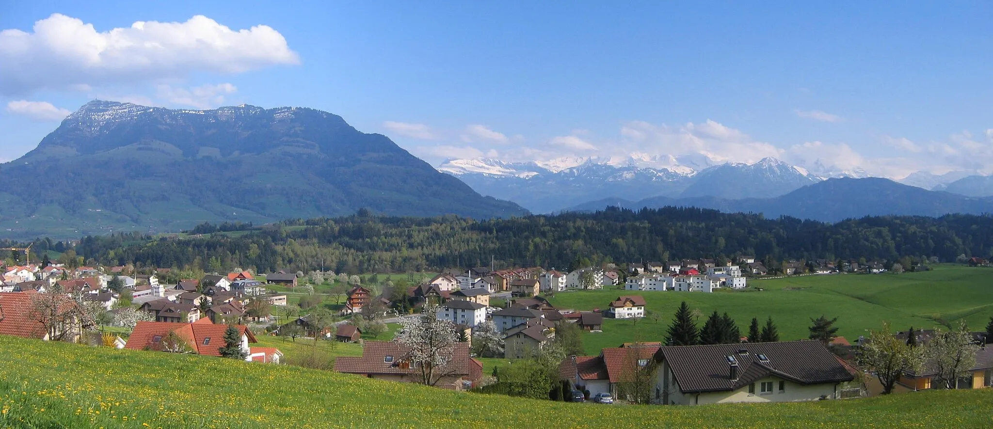
Start: Weggis Village centerWeggis: Cycling paradise on the shores of Lake Lucerne
Weggis is a picturesque locality located in the Zentralschweiz region of Switzerland. Road and gravel cyclists can enjoy scenic rides along the shores of Lake Lucerne, surrounded by majestic mountains and charming villages. There are well-marked cycling routes, ranging from easy lakeside paths to more challenging mountain climbs. Weggis is also known for being the starting point of the classic cycling route called the "Golden Round Trip" which includes a boat ride, cable car ascent, and panoramic train journey. With its stunning views and cycling opportunities, Weggis is a must-visit destination for cyclists.0 km
0 km
WeggisVillageStart your journey in Weggis, a charming lakeside town known for its beautiful promenade and traditional architecture.
9 km
9 km
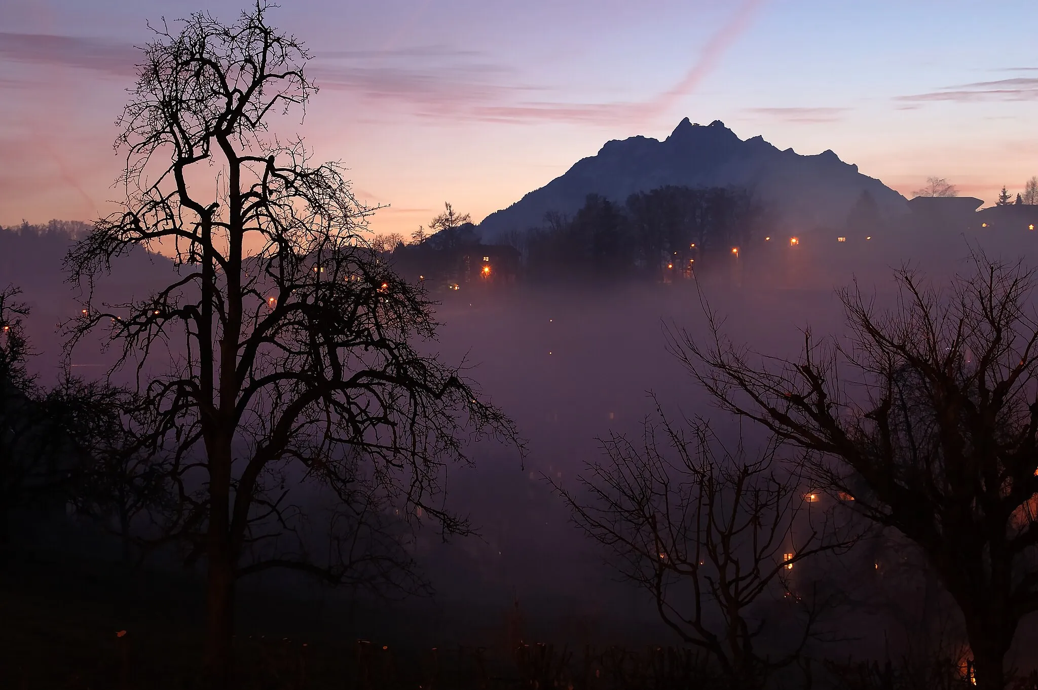
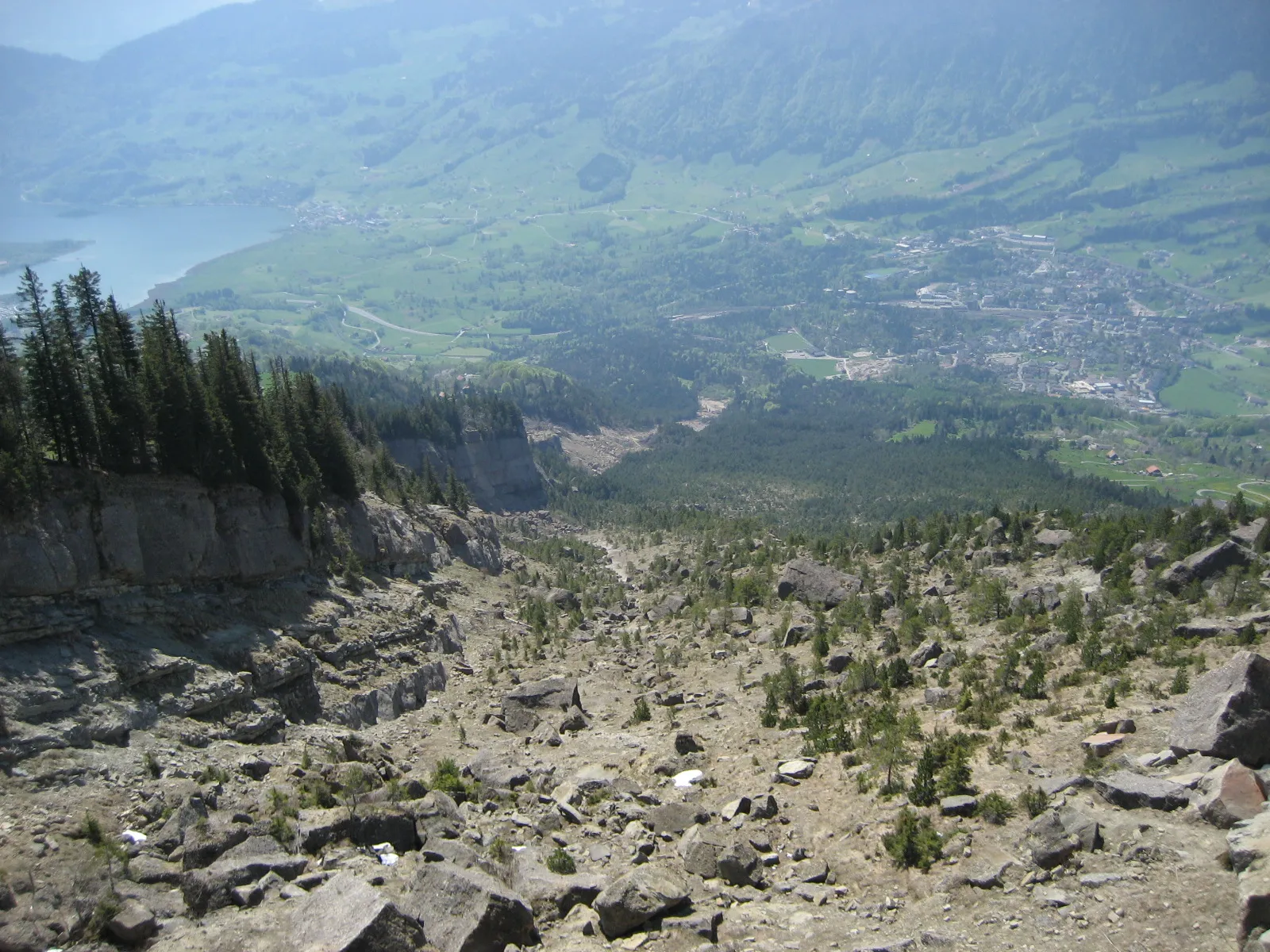
Rigi1797 mPeakClimb up to Rigi, the Queen of the Mountains, and enjoy panoramic views of the Swiss Alps and Lake Lucerne.
15 km
15 km
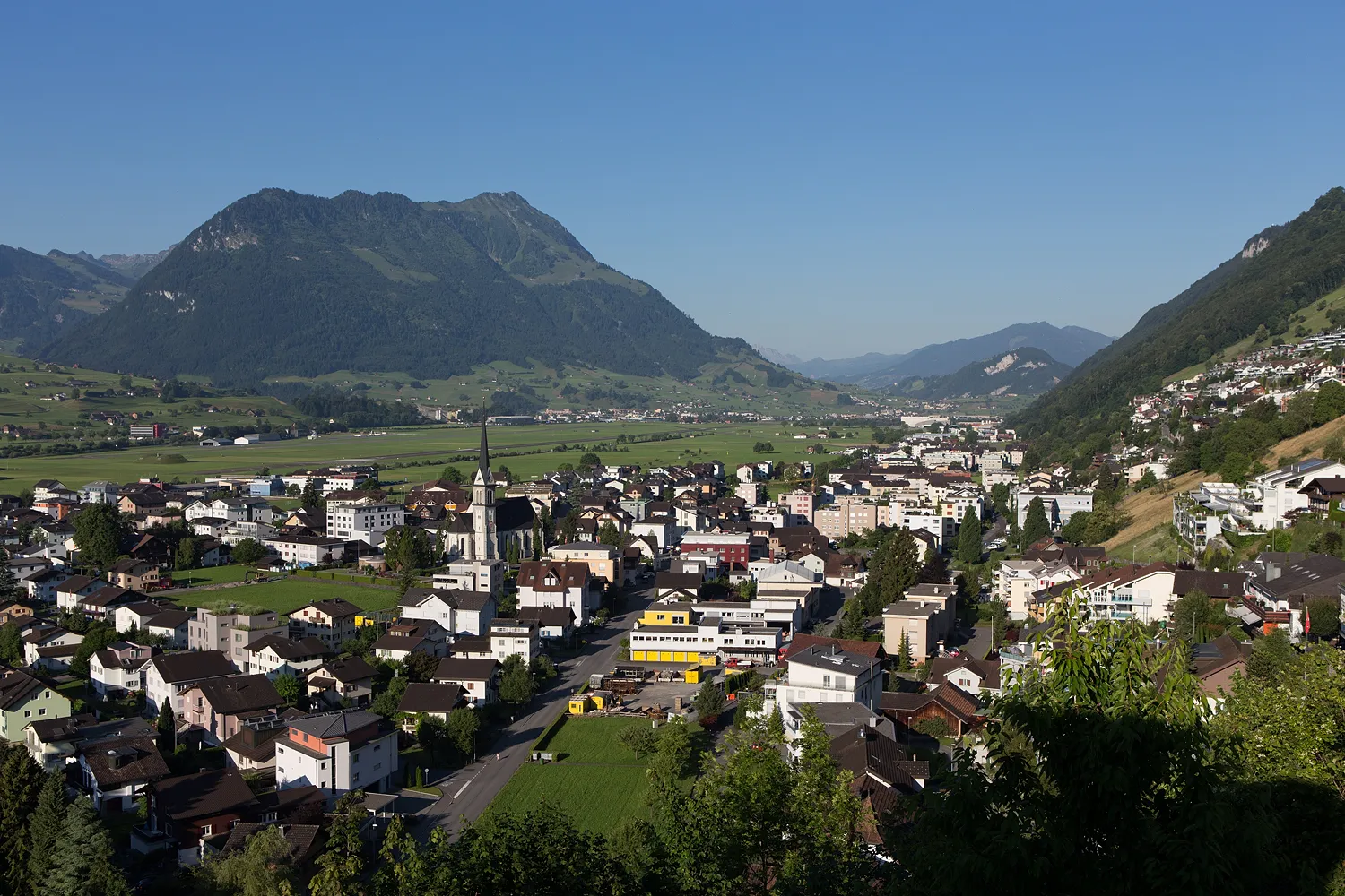
OberarthSub-urbVisit Oberarth, a small village with a rich history and be captivated by its rural charm.
17 km
17 km
Aussichtspunkt HerzigViewpointStop by Aussichtspunkt Herzig, a scenic viewpoint offering stunning vistas of the surrounding countryside.
33 km
33 km
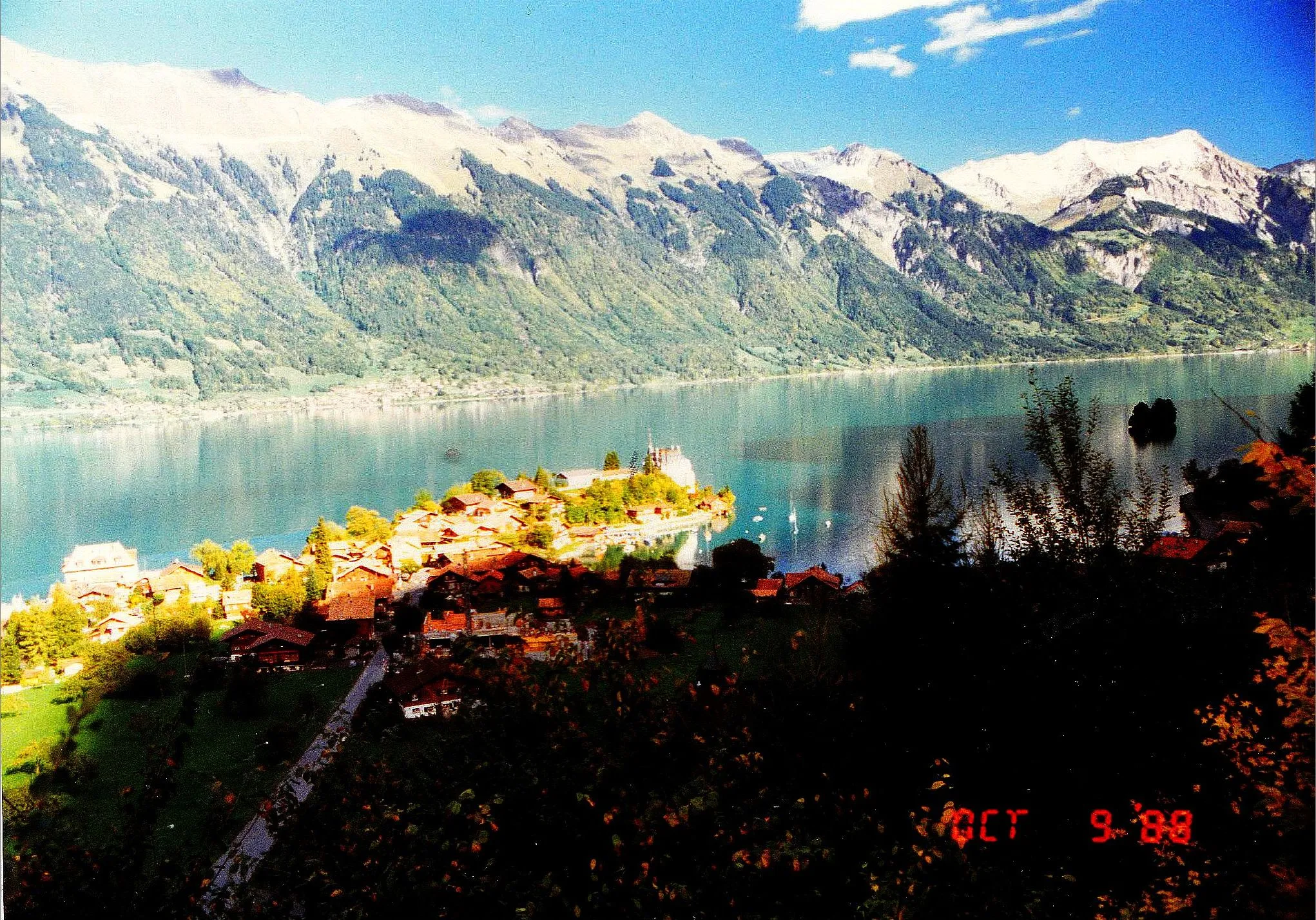
ÄgeriseeLakeCycle along the shores of Ägerisee, a tranquil lake renowned for its crystal-clear waters.
36 km
36 km
MorgartenHamletExplore the historical site of Morgarten, where a significant Swiss victory took place in 1315 during the Middle Ages.
44 km
44 km
SteinenVillagePass through Steinen, a charming town known for its well-preserved historic center and traditional Swiss architecture.
54 km
54 km
Rigi Hochflue1698 mPeakScope out Rigi Hochflue, a prominent mountain peak offering breathtaking vistas over Lake Lucerne and the surrounding landscape.
62 km
62 km
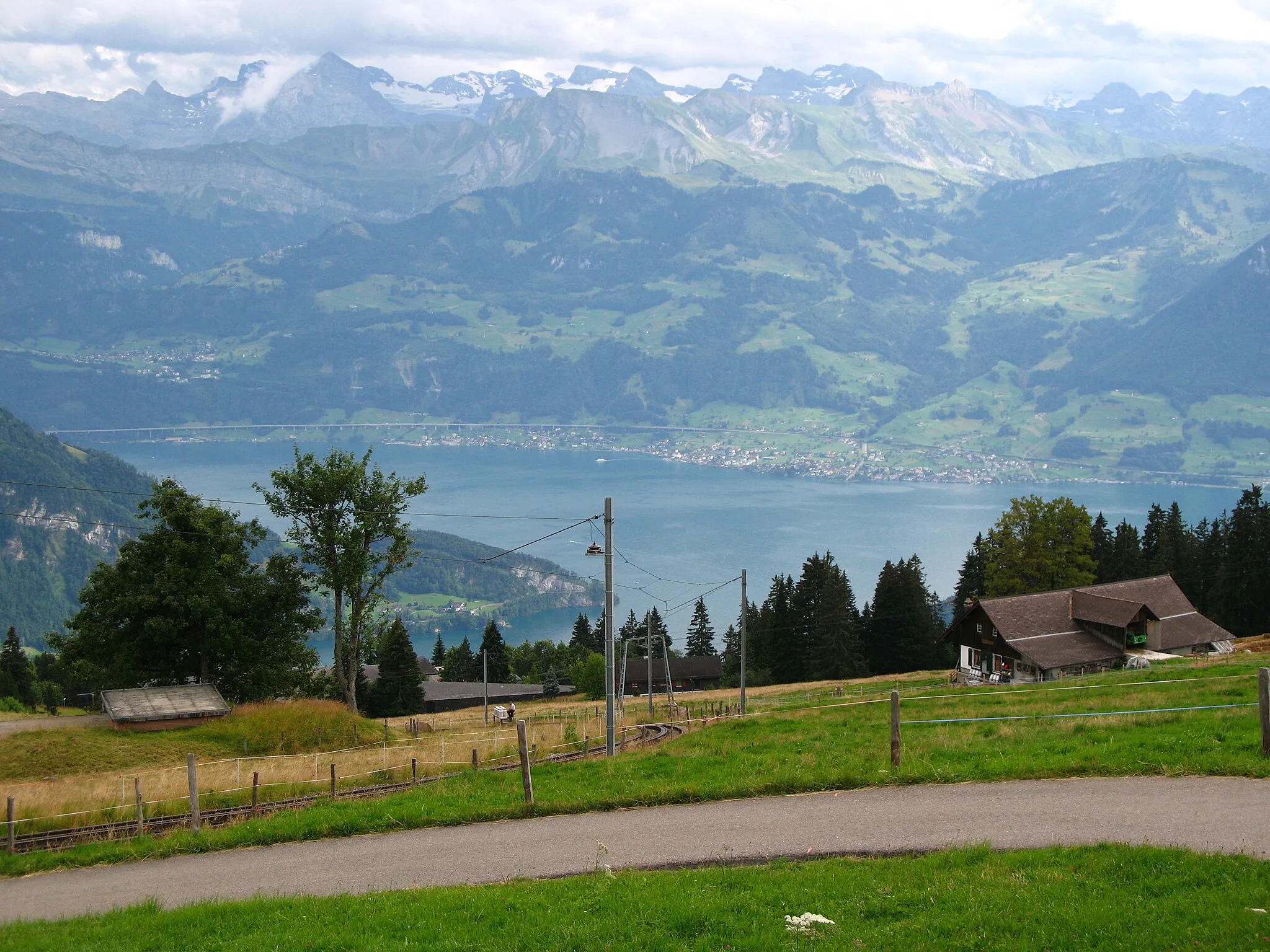
Vitznauerstock/Gersauerstock1451 mPeakReach the summit of Vitznauerstock/Gersauerstock and be rewarded with panoramic views of Lake Lucerne and the Swiss Alps.
66 km
66 km
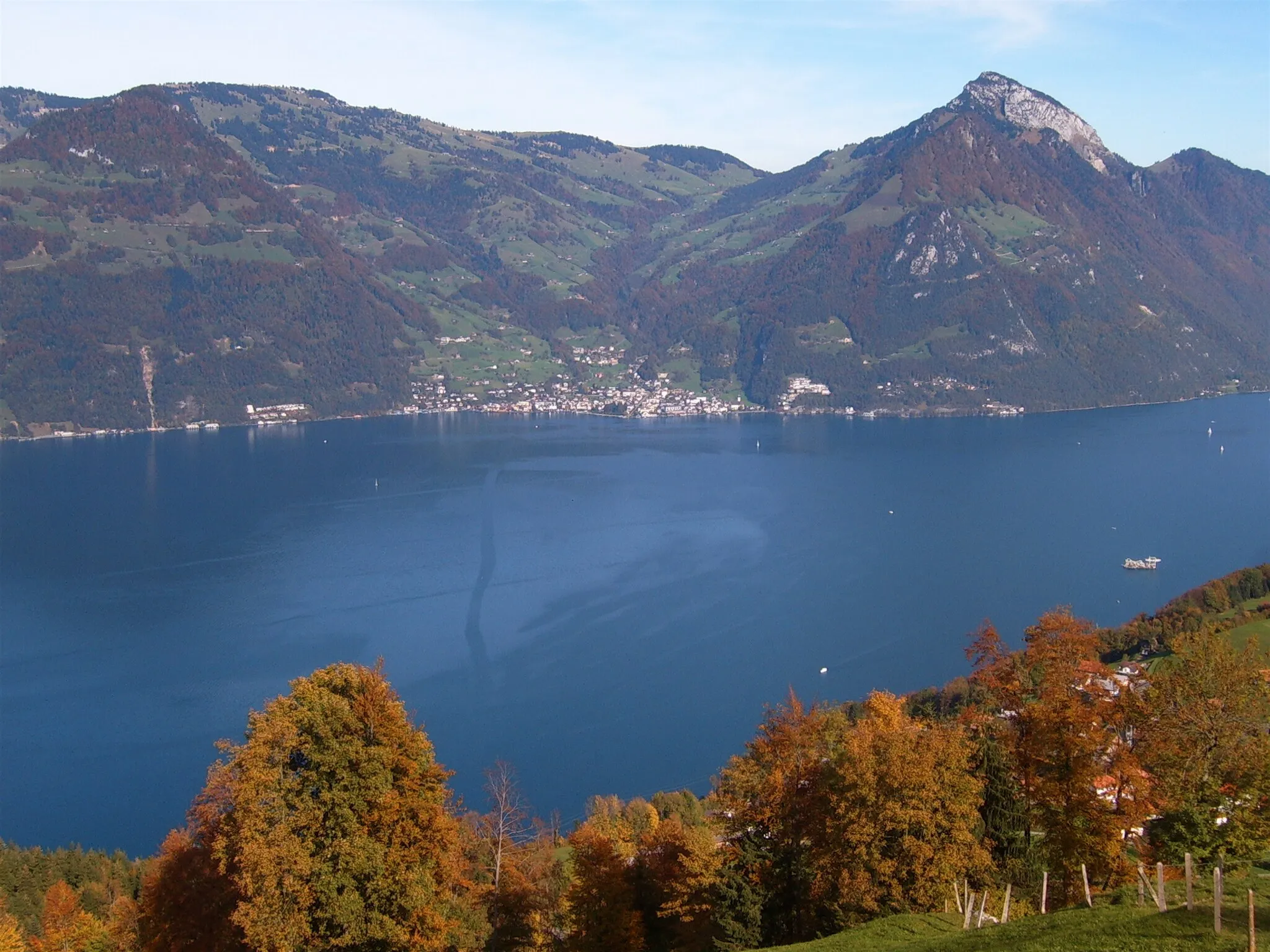
VitznauVillageConclude your cycling adventure in Vitznau, a picturesque lakeside town known for its beautiful waterfront and traditional Swiss character.
72 km
72 km
Finish: Weggis Village centerWeggis: Cycling paradise on the shores of Lake Lucerne
Cycling routes from Weggis:
Merlischachen - Aussichtsplatform - Start Riffigweiher - Rothenburg - Hitzkirch - Meienberg - Michaelskreuz - Greppen Weggis - Lake Lucerne - Unterwasserfenster / Bärengehege - Schwyz - Aussichtsplattform B - Ibach - Vitznau Adligenswil to Risch Journey Ultimate Rigi Challenge Merlischachen - Konservatorium - Buchrain - Ballwil - Ibikon - Chappelerberg - Weggis Merlischachen - Root - Reuss - Risch - Lake Lucerne - Greppen Weggis Explorer Weggis and the enchanting surroundings Weggis - Vitznauerstock/Gersauerstock - Brunnen - Axenstein - Rot Turm - Oberschönenbuch - Lauerz - Rigi Mount Rigi Adventure
Cycling routes nearby: