Freienstein to Hohentengen am Hochrhein
A gravel cycling route starting from Freienstein
Experience the beauty of the Rhine High Road from Freienstein to Hohentengen am Hochrhein
Map
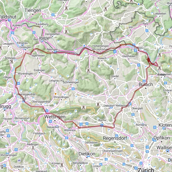
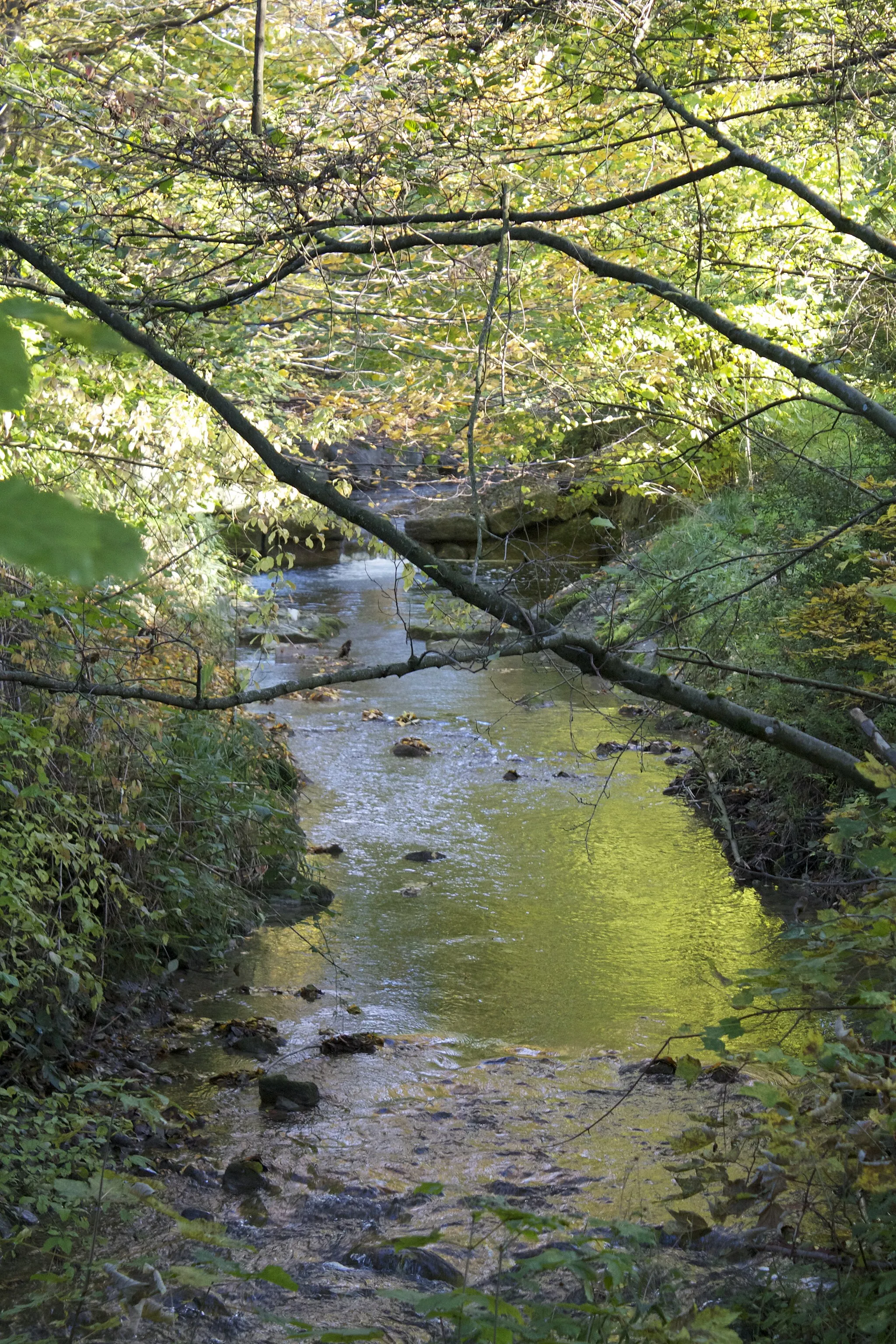
This gravel cycling route takes you along the scenic Rhine High Road from Freienstein to Hohentengen am Hochrhein. With a challenging ascent of 1053 meters over a distance of 82 kilometers, the route is perfect for adventurous gravel cyclists. Highlights on the way include Ottenberg, Bülach, Buchs, Sulperg, Turgi, Belchen, Hohentengen am Hochrhein, and Eglisau. Enjoy panoramic views of the majestic Rhine River, explore charming villages, and experience the thrill of gravel riding in the picturesque Swiss countryside.
gravel
82 km
1053 m
Tough
Route profile
Highlights on the route
0 km
0 km
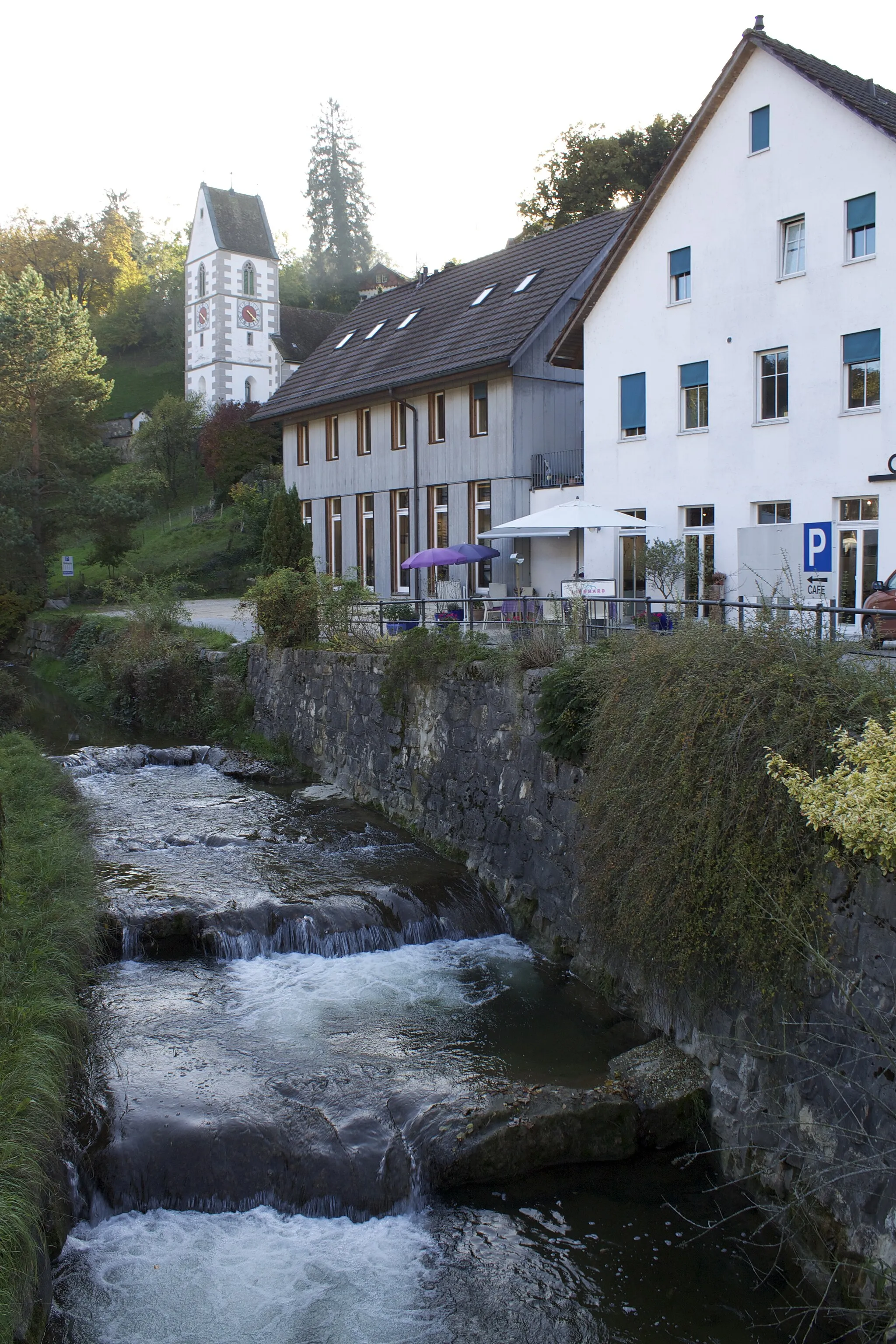
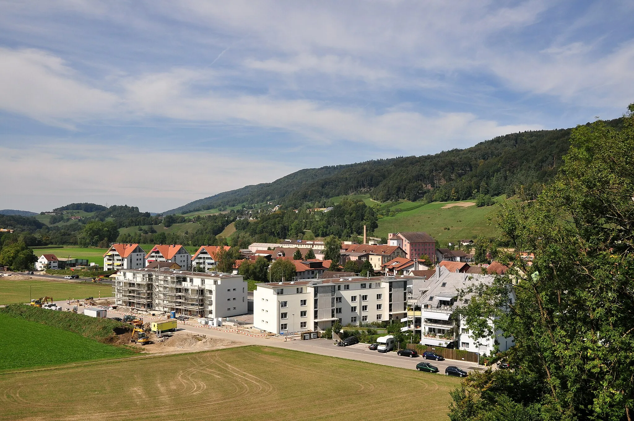
Start: Teufen Village centerFreienstein: Conquering Swiss Alpine Climbs in Freienstein
Freienstein in Zürich, Switzerland is a great cycling locality. The town is surrounded by stunning Swiss landscapes, making it a perfect destination for road and gravel cyclists. Nearby, cyclists can tackle challenging climbs like the Furka Pass and the Gotthard Pass, which are renowned among cycling enthusiasts. With excellent cycling infrastructure, breathtaking scenery, and famous cycling routes, Freienstein scores a rank of 5.8 km
8 km
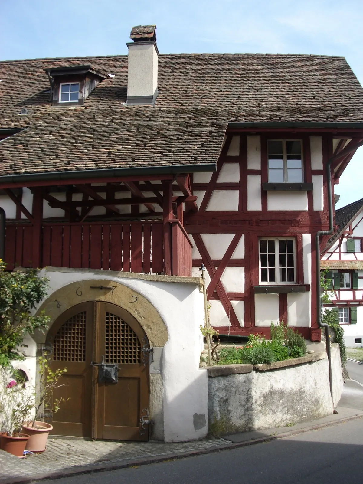
Ottenberg499 mPeakOttenberg is a small village with traditional timber-framed houses and narrow winding streets.
10 km
10 km
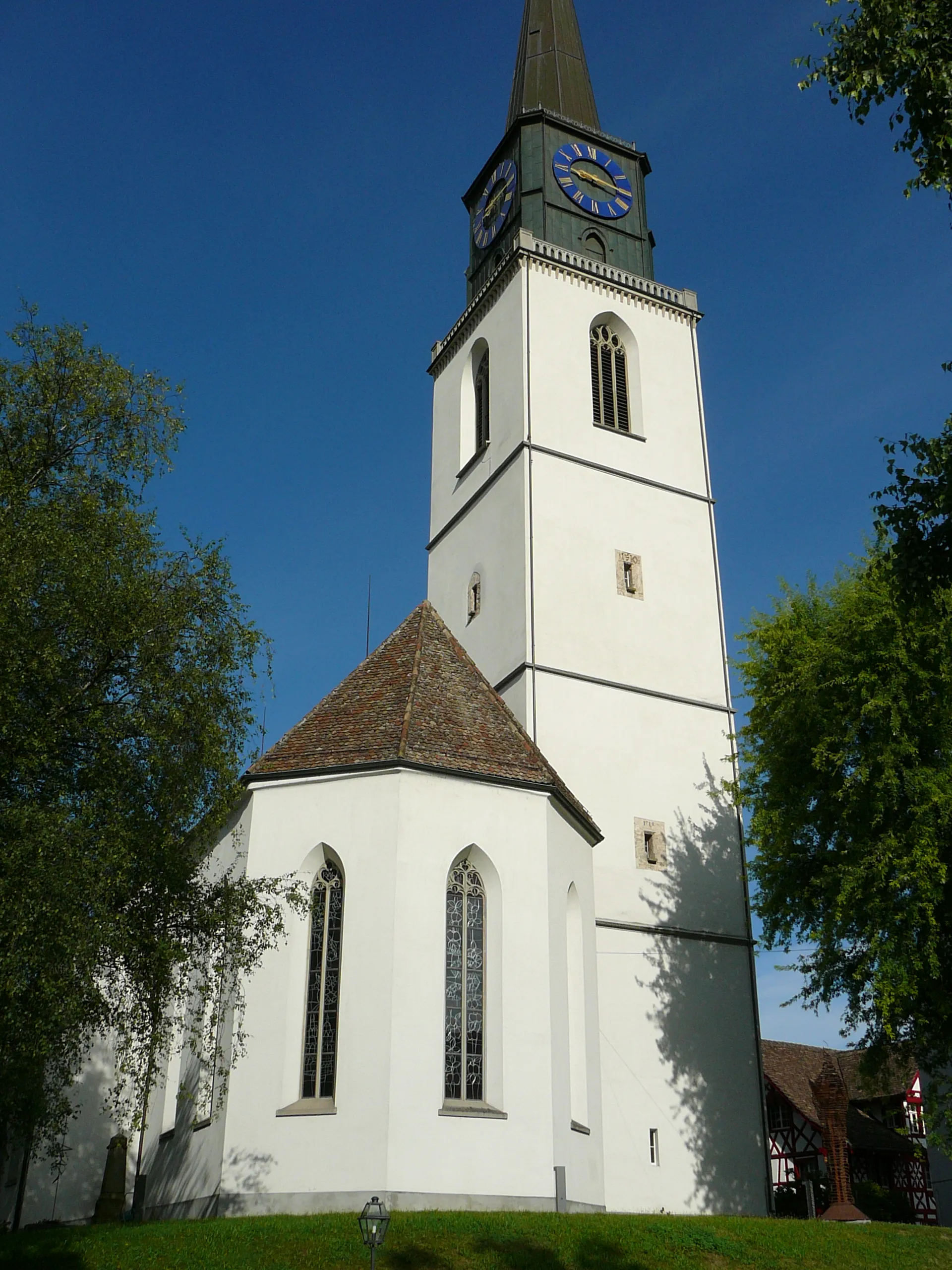
BülachTownBülach is a historic town with well-preserved medieval buildings and a lively town center.
23 km
23 km
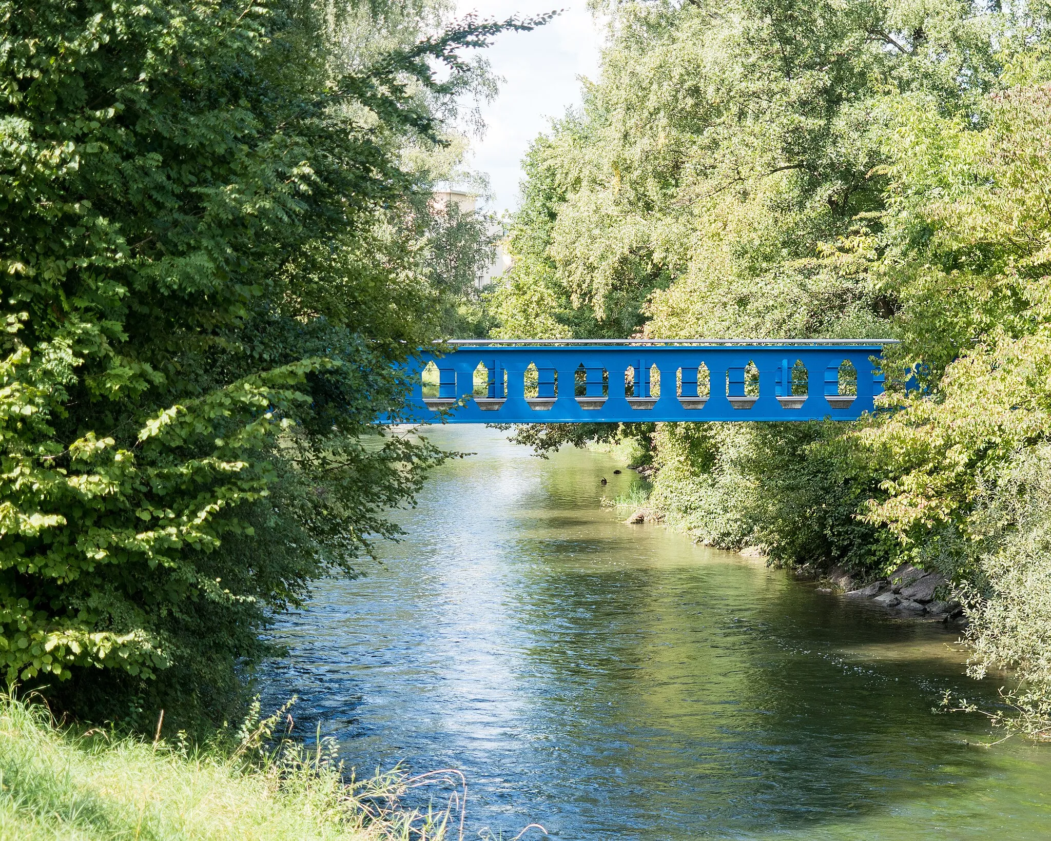
BuchsVillageBuchs is a charming village located on the banks of the Rhine River, known for its vineyards and wine production.
32 km
32 km
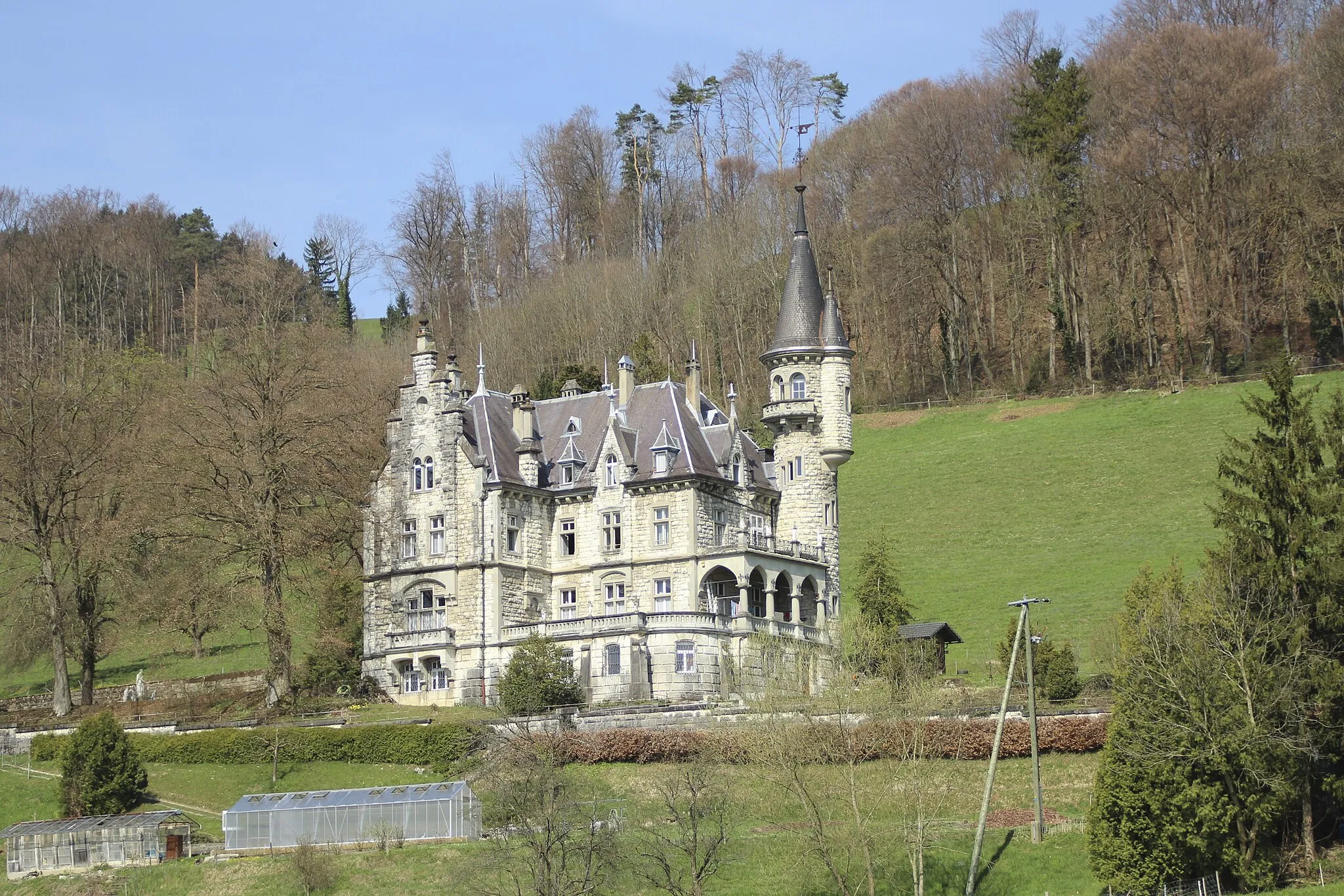
Sulperg514 mPeak ViewpointSulperg is a must-visit landmark with its imposing fortress ruins and panoramic views of the surrounding area.
41 km
41 km
TurgiVillageTurgi is a historic town with well-preserved medieval architecture and a rich cultural heritage.
63 km
63 km
Belchen526 mMountain PassBelchen is a serene mountain village surrounded by lush forests and beautiful hiking trails.
68 km
68 km
Hohentengen am HochrheinVillageHohentengen am Hochrhein is a charming German town located on the banks of the Rhine River, offering stunning views and a peaceful ambiance.
76 km
76 km
EglisauVillageEglisau is a picturesque town with colorful houses, scenic river views, and a lovely town square.
82 km
82 km
Finish: Teufen Village centerFreienstein: Conquering Swiss Alpine Climbs in Freienstein
Cycling routes from Freienstein:
Gravel adventure through Eglisau and Rhine Falls Dättenberg Ride through Charm and Wilderness Freienstein to Höhrain Freienstein to Hohentengen am Hochrhein Cycling around Hochwacht Irchel and Schaffhausen Freienstein to Rüfenach Exploring Andelfingen and Winterthur Freienstein to Rhine Falls Challenging ride through Bauma and Zurich Zürich-Eglisau-Wilchingen-Rheinau Loop Zürich-Ägerisee-Einsiedeln-Zürich Loop
Cycling routes nearby: