Remetschwil Loop
A gravel cycling route starting from Geroldswil
A scenic gravel route with a challenging ascent to Remetschwil.
Map
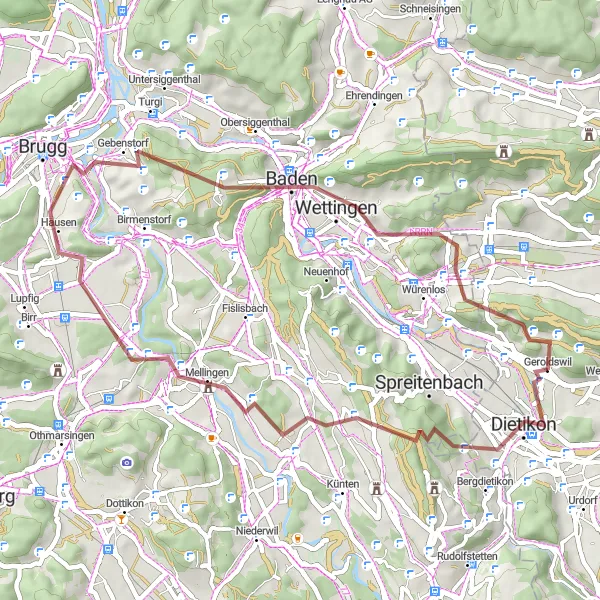
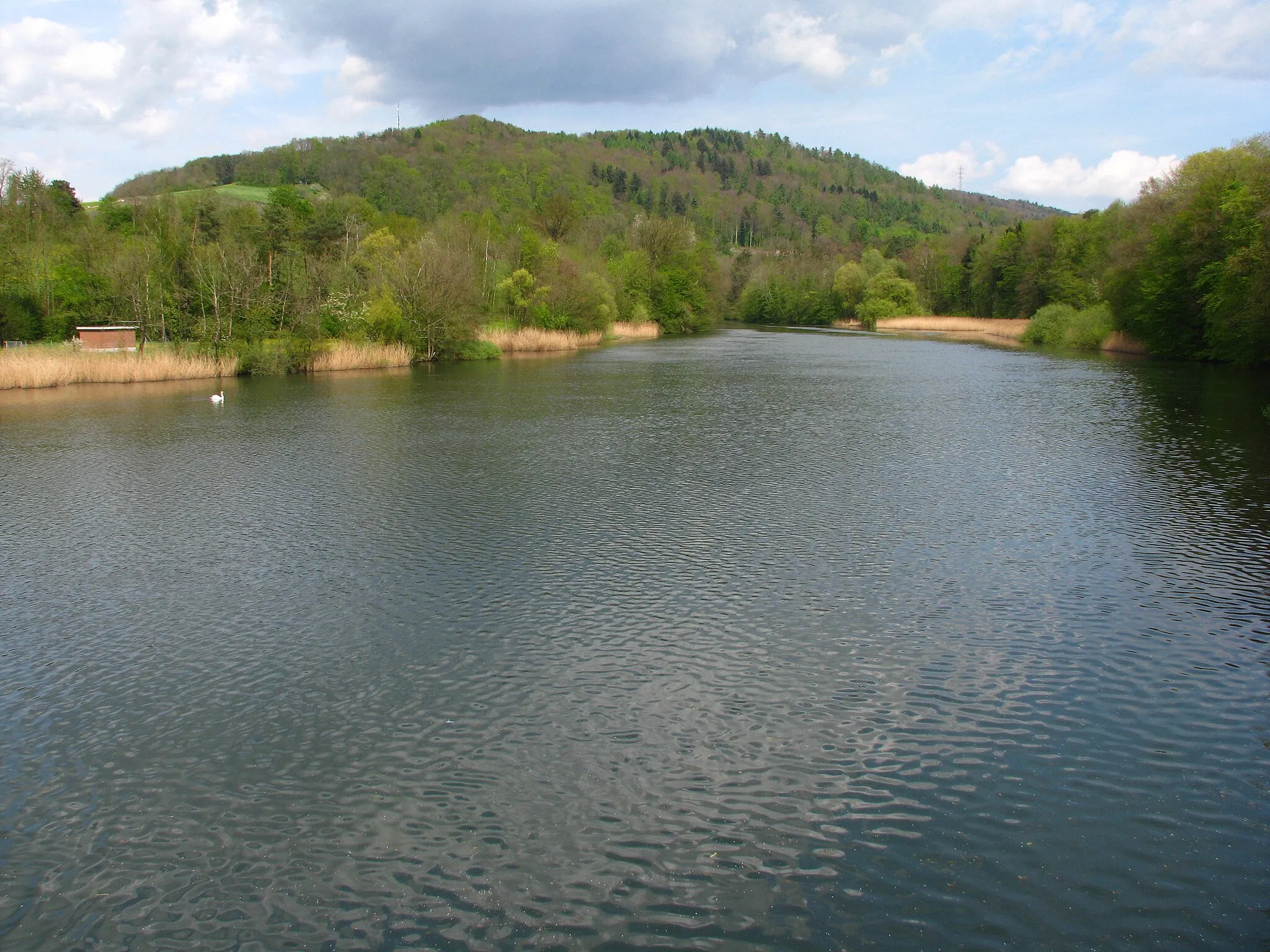
Explore the beautiful Swiss countryside on this gravel route that begins near Geroldswil. The highlight of the route is the climb to Remetschwil, offering stunning views from the top. The challenging ascent and varied terrain make this a rewarding and memorable cycling experience. The overall route provides a mix of natural landscapes and rural charm, showcasing the best of Switzerland's outdoor beauty.
gravel
48 km
917 m
Tough
Route profile
Highlights on the route
0 km
0 km
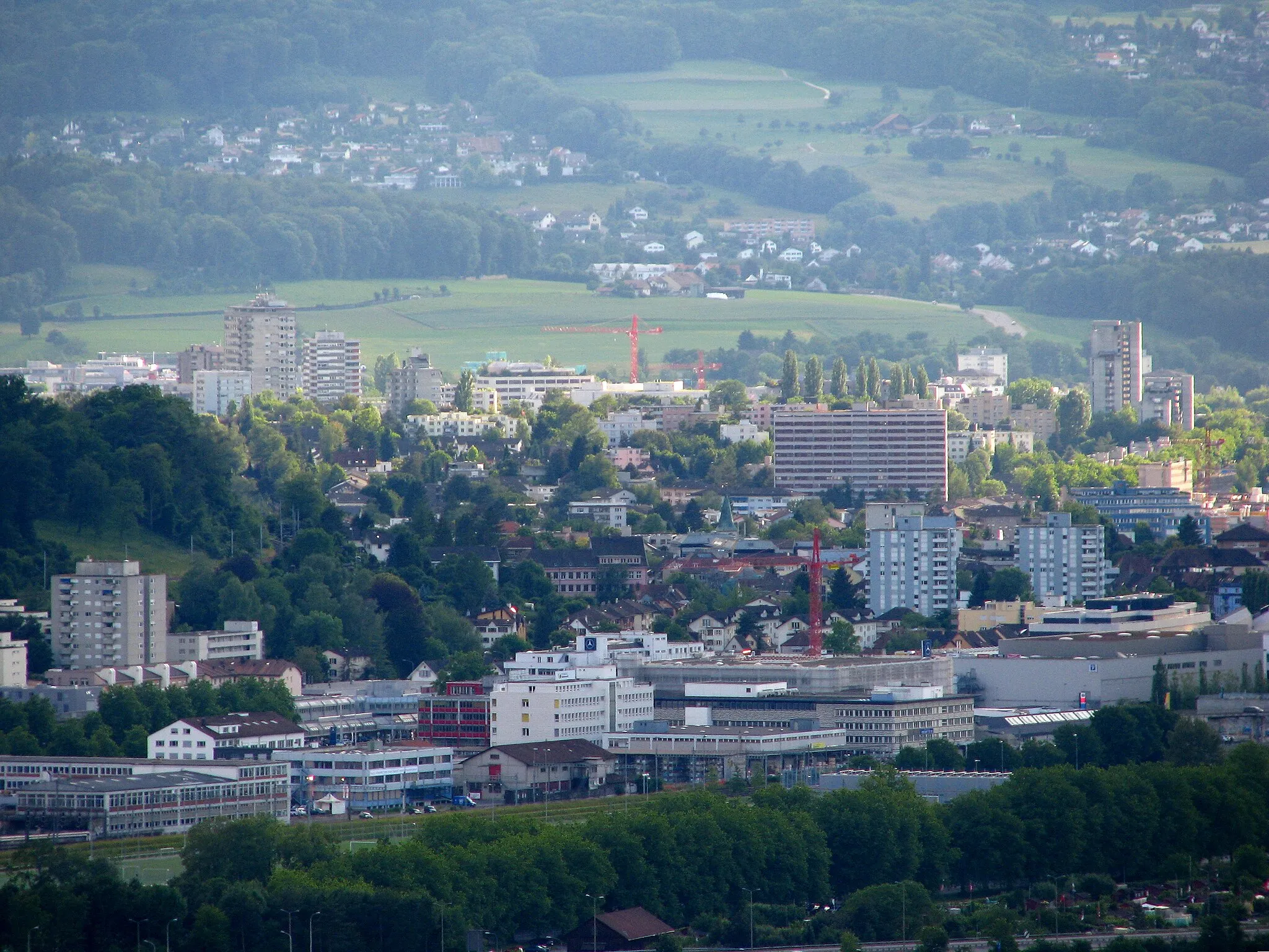
Start: Geroldswil Village centerGeroldswil: Challenging Climbs and Scenic Rides in Geroldswil
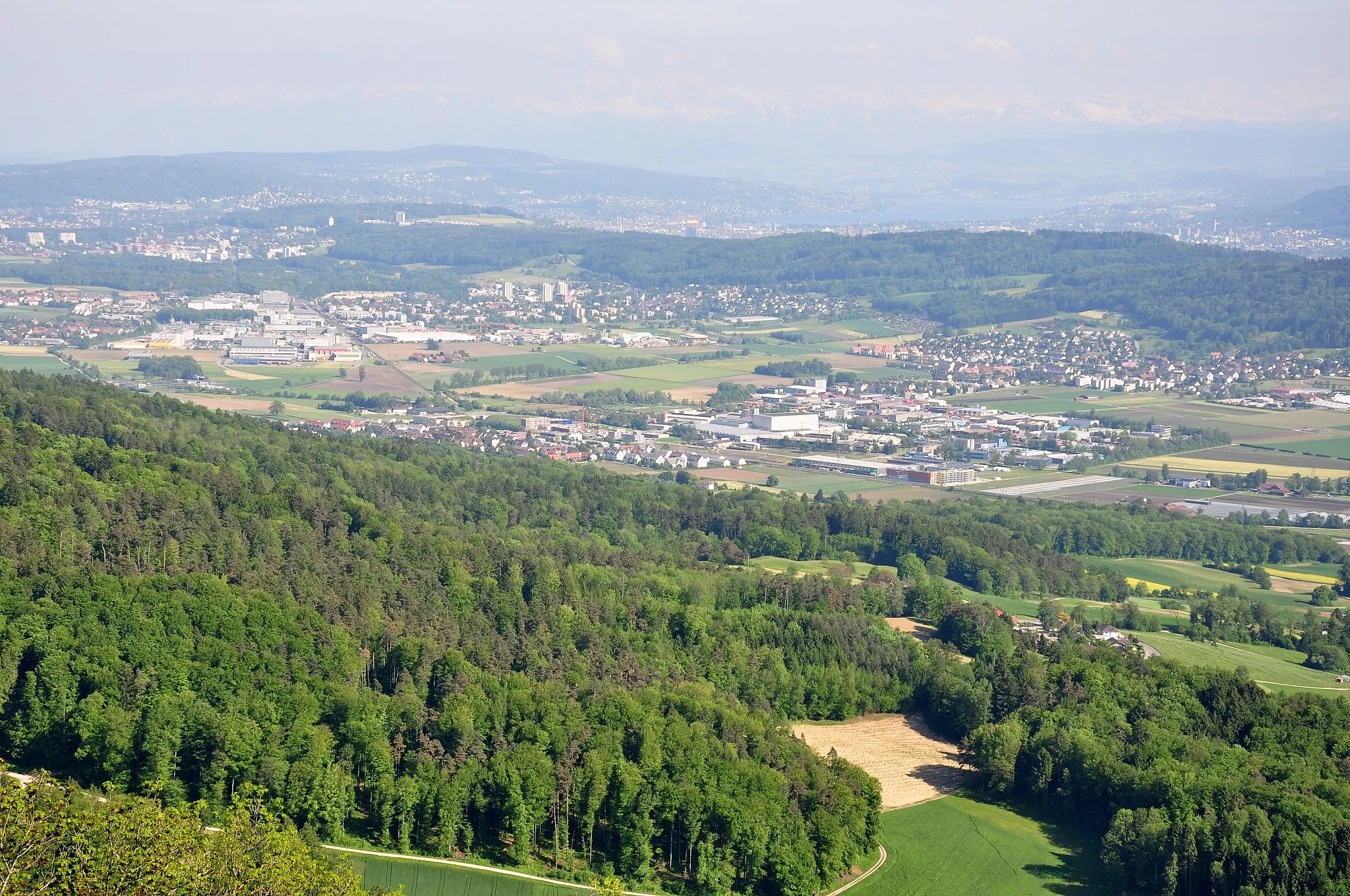
Geroldswil is a locality situated in the Zürich region of Switzerland. From a cyclist's perspective, Geroldswil offers various cycling routes and stunning views of the surrounding landscapes. The locality features well-maintained roads, making it suitable for road and gravel cycling. One of the notable cycling spots nearby is the Uetliberg climb, famous for its steep gradients and panoramic vistas from the top. Geroldswil welcomes cyclists with amenities like bike racks, bike-friendly accommodations, and cafes where riders can take a break. Overall, Geroldswil is a delightful destination for cyclists looking for challenging climbs and scenic rides.11 km
11 km
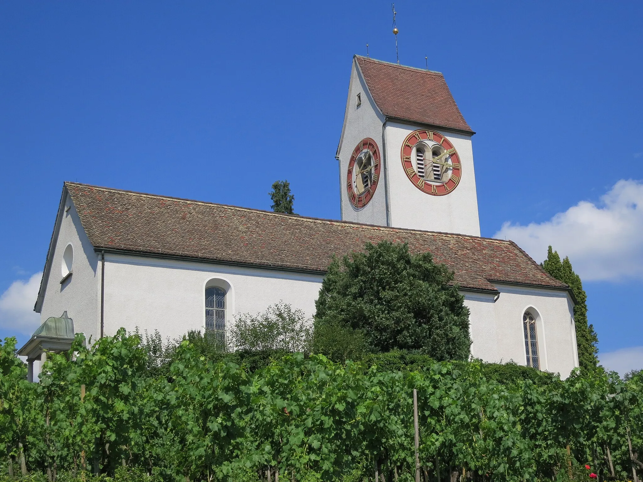
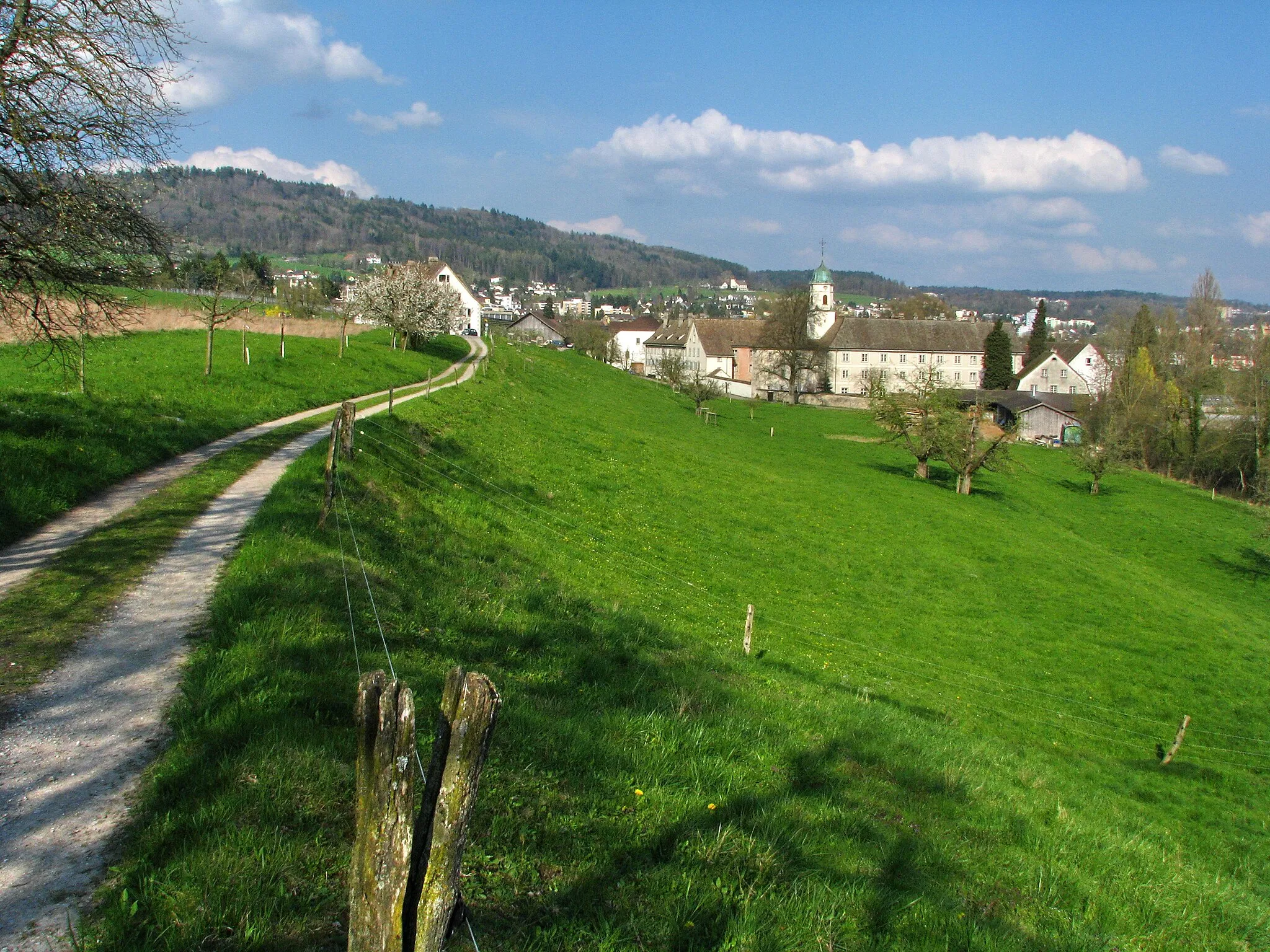
RemetschwilVillageLocated in the heart of the route, Remetschwil offers panoramic views of the surrounding countryside.
14 km
14 km
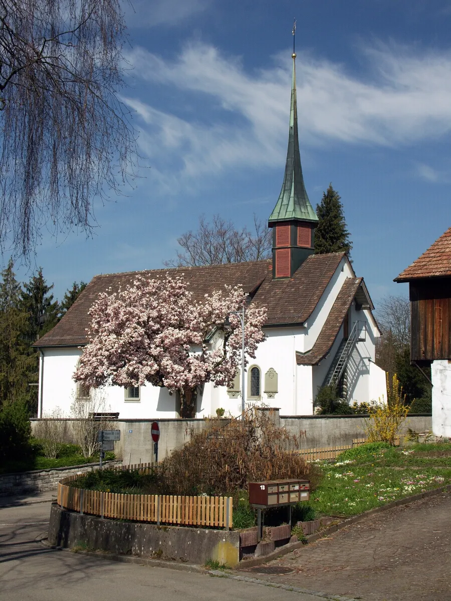
Hürst434 mPeakHürst is a quaint village with traditional Swiss architecture, providing a picturesque backdrop for a rest stop.
27 km
27 km
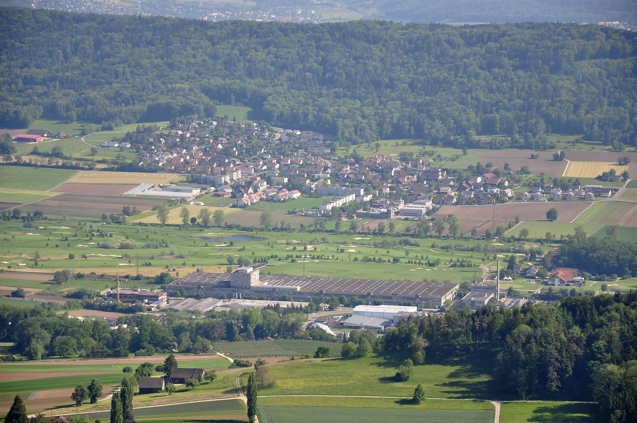
WindischVillageWindisch town is home to the historical Habsburg Castle and offers a glimpse into Swiss medieval history.
33 km
33 km
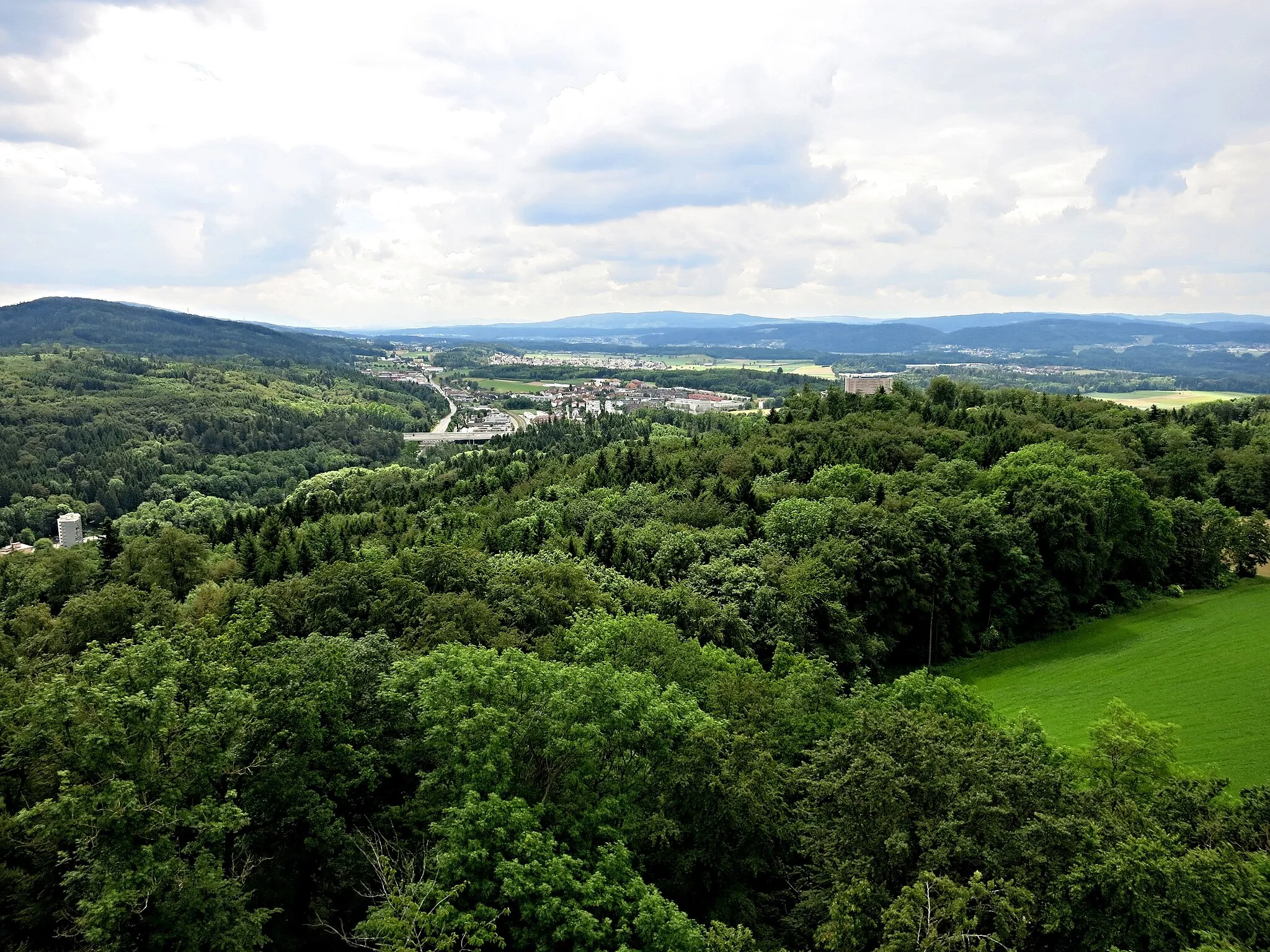
Wasserturm BaldeggViewpointThe Wasserturm Baldegg is a medieval water tower located on a hill, unlocking panoramic views of the region.
38 km
38 km
Sulperg514 mPeak ViewpointSulperg is a small village known for its charming Swiss Alpine architecture and scenic countryside.
46 km
46 km
OetwilVillageOetwil features traditional Swiss chalets and offers a peaceful atmosphere, perfect for a refreshment stop.
48 km
48 km
Finish: Geroldswil Village centerGeroldswil: Challenging Climbs and Scenic Rides in Geroldswil
Cycling routes nearby: