The Rhine Valley Adventure
A road cycling route starting from Glattfelden
Embark on an epic road cycling adventure along the scenic Rhine Valley
Map
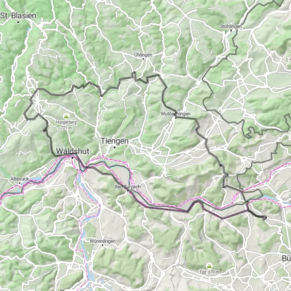
The Rhine Valley Adventure is an epic road cycling route that takes you through the picturesque Rhine Valley. With a total ascent of 1,695 meters and a distance of 90 kilometers, this route offers breathtaking views and challenging terrains. Along the way, you will pass through Mellikon, Musital, Koblenz, Alpensteinbock, Samlischbuck, Nöggenschwiel, Duxenberg, Wutöschingen, Kalter Wangen, and Wasterkingen. The route combines thrilling climbs, fast descents, and scenic flat sections, making it a true adventure for experienced cyclists. Enjoy the beauty of the Rhine River, charming towns, and impressive landscapes on this unforgettable cycling journey.
road
90 km
1695 m
Tough
Route profile
Highlights on the route
0 km
0 km
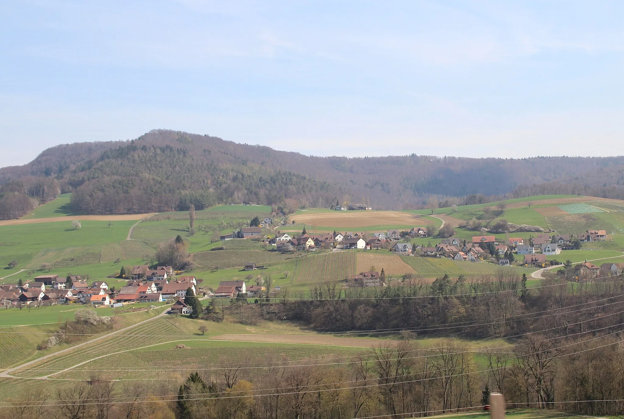
Start: Glattfelden Village centerGlattfelden: Picturesque cycling paradise in Zürich
Glattfelden, located in Zürich, Switzerland, offers a fantastic cycling experience with its well-maintained roads and picturesque landscapes. The locality is known for its countless cycling routes that cater to road and gravel cyclists. Cyclists can explore the idyllic countryside, dotted with charming farmlands and traditional Swiss villages. Glattfelden is also home to captivating cycling spots, such as the nearby Greifensee, a popular lake for recreational cycling. With its diverse cycling opportunities and captivating scenery, Glattfelden is a must-visit locality for any cycling enthusiast.13 km
13 km
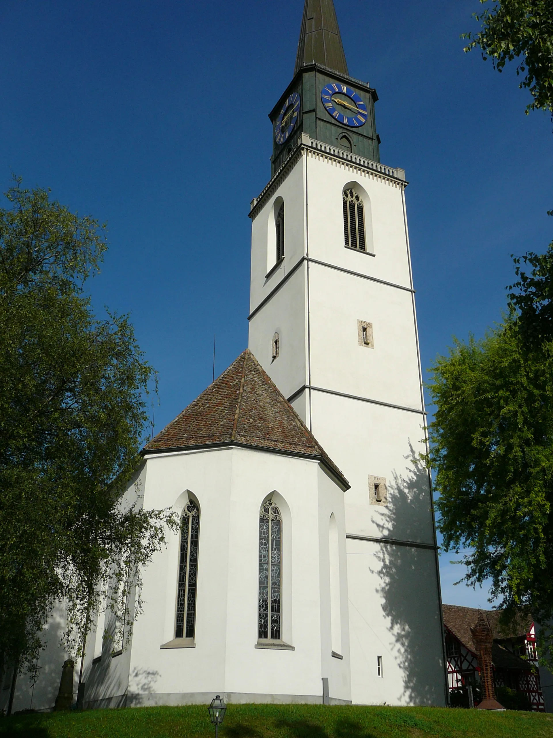
MellikonVillageMellikon, located at the 13-kilometer mark, is a small village with traditional Swiss architecture and beautiful views of the Rhine River.
16 km
16 km
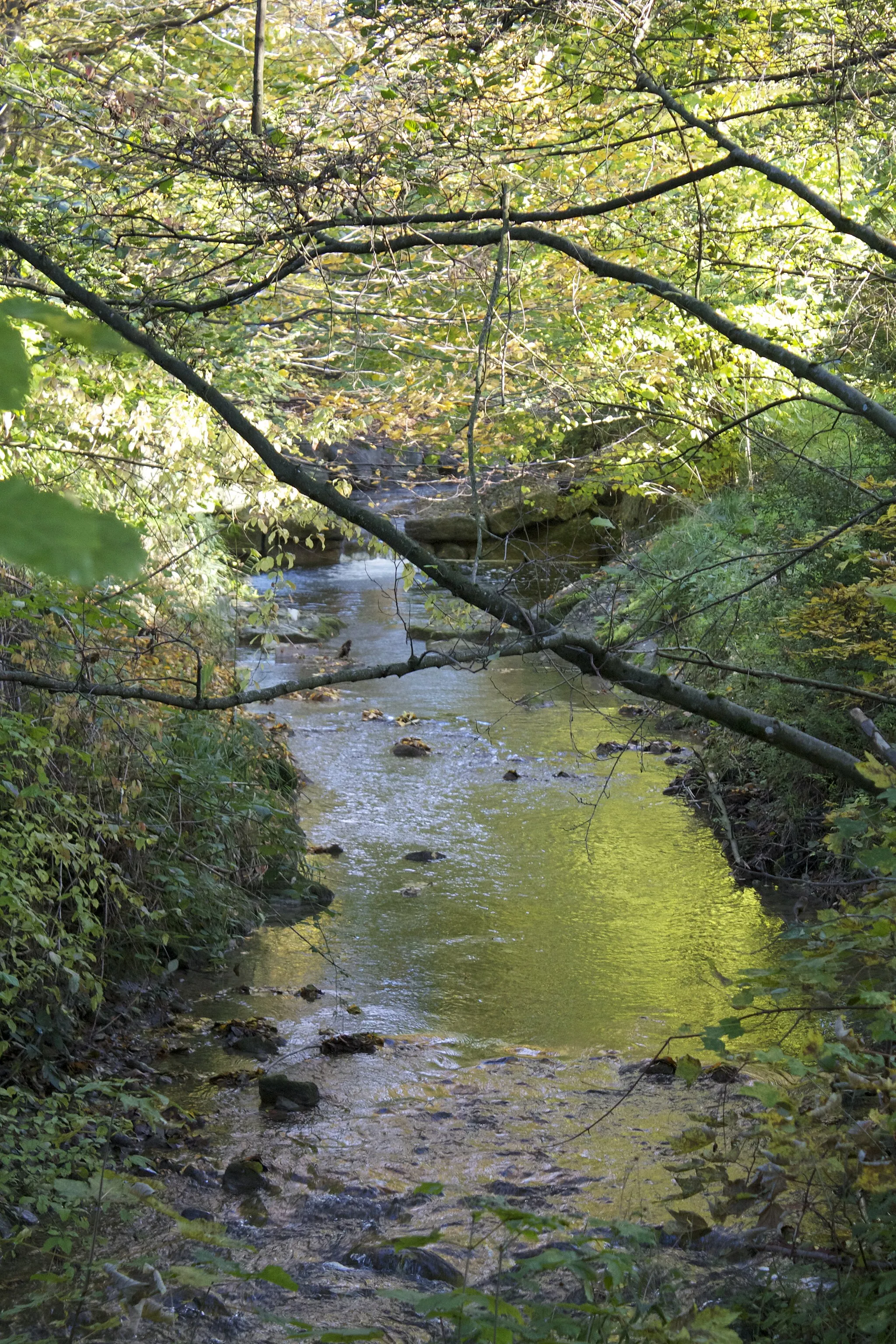
MusitalViewpointMusital is famous for its stunning waterfall and nature trails. Located at the 16-kilometer mark, it offers a tranquil stop for nature enthusiasts.
24 km
24 km
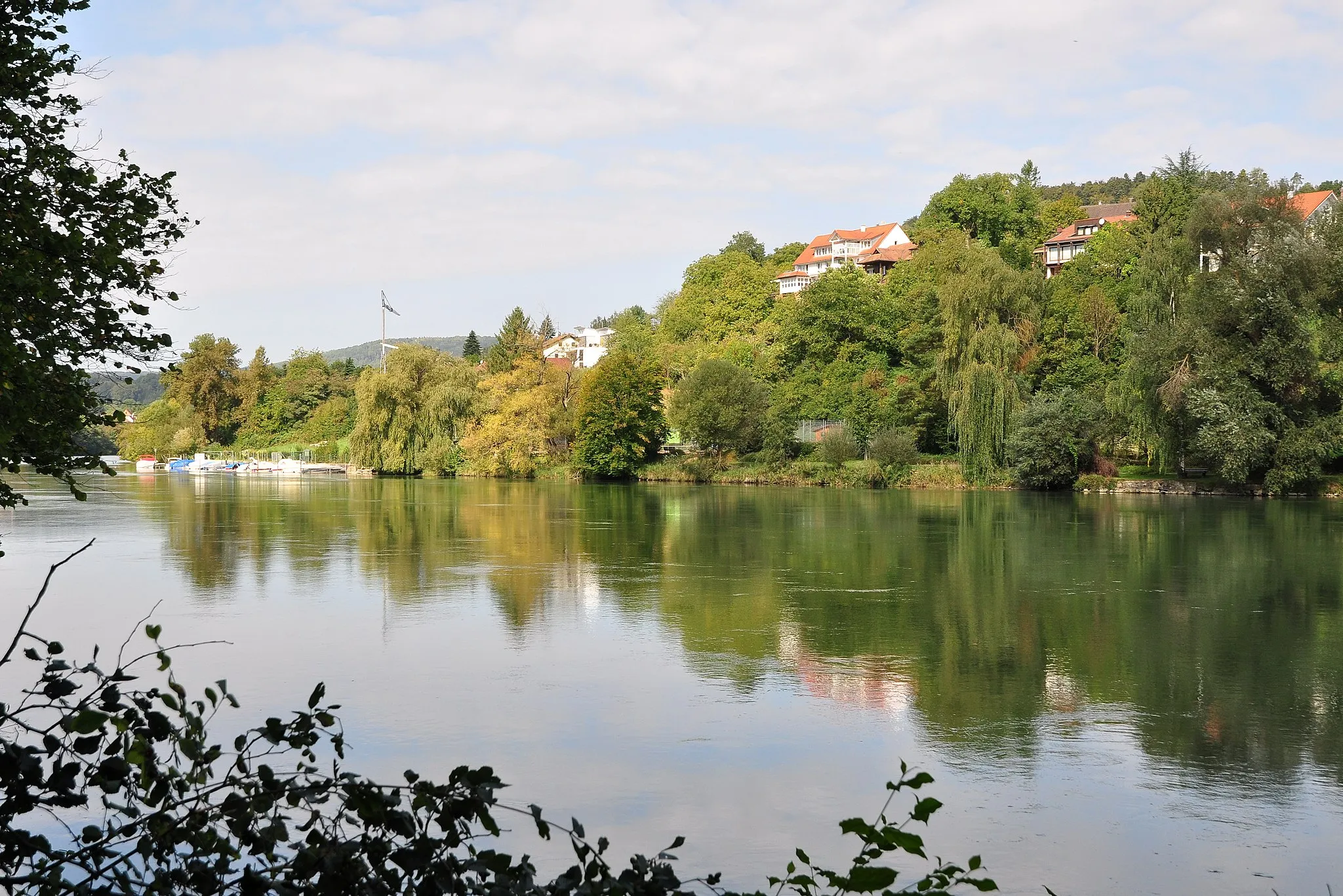
KoblenzVillageKoblenz, at 24 kilometers, marks the confluence of the Rhine and Aare rivers and offers beautiful views and historical landmarks.
27 km
27 km
AlpensteinbockViewpointAlpensteinbock is a nature reserve located 27 kilometers into the route, where you can spot ibexes in their natural habitat.
36 km
36 km
Samlischbuck768 mPeakSamlischbuck, at 36 kilometers, is a challenging climb that rewards you with panoramic views of the Rhine Valley.
47 km
47 km
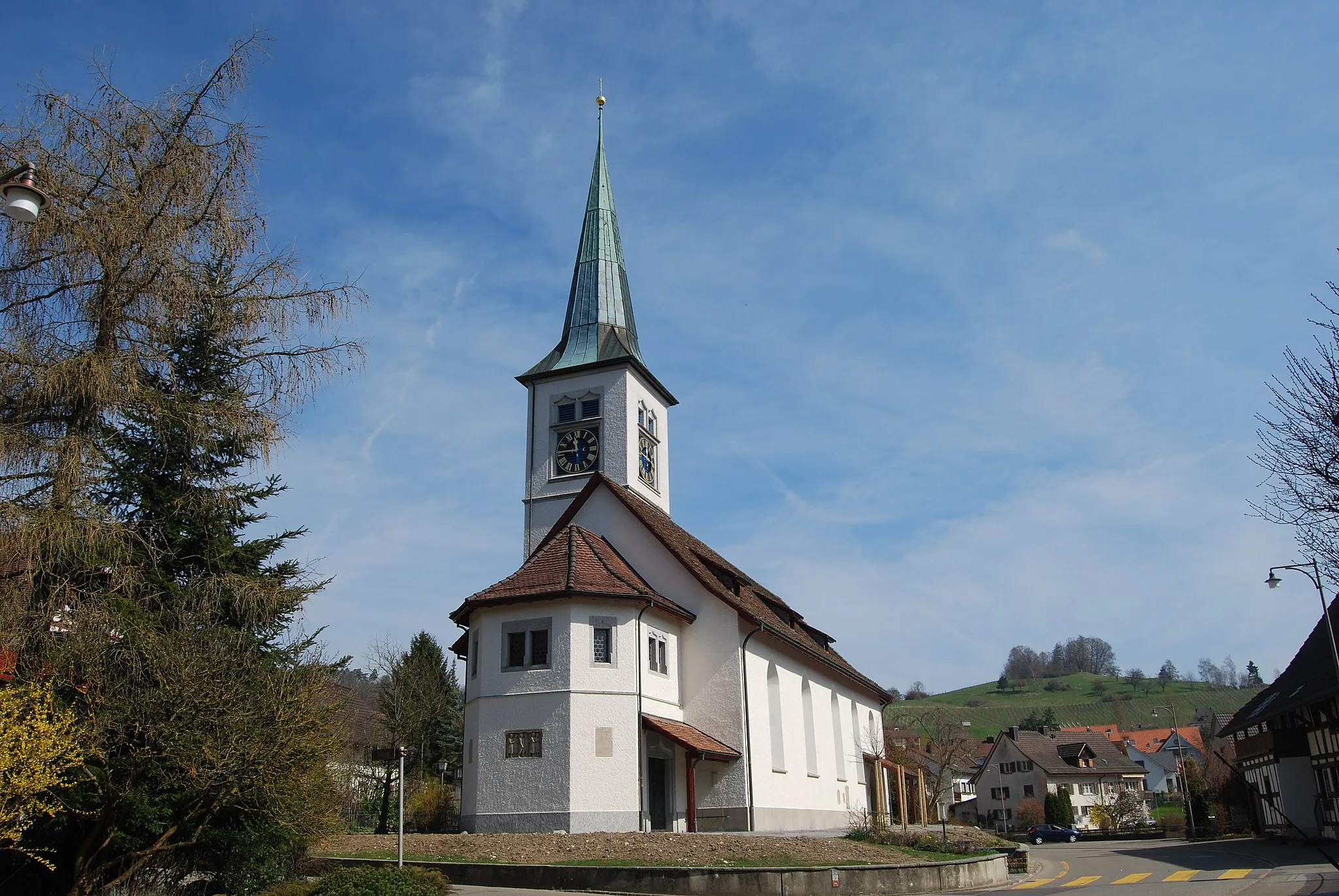
NöggenschwielVillageNöggenschwiel, at 47 kilometers, is a scenic village with traditional Swiss charm and beautiful views of the surrounding countryside.
64 km
64 km
Duxenberg619 mPeakDuxenberg, at 64 kilometers, is a challenging climb that offers stunning views of Lake Constance and the Swiss Alps.
69 km
69 km
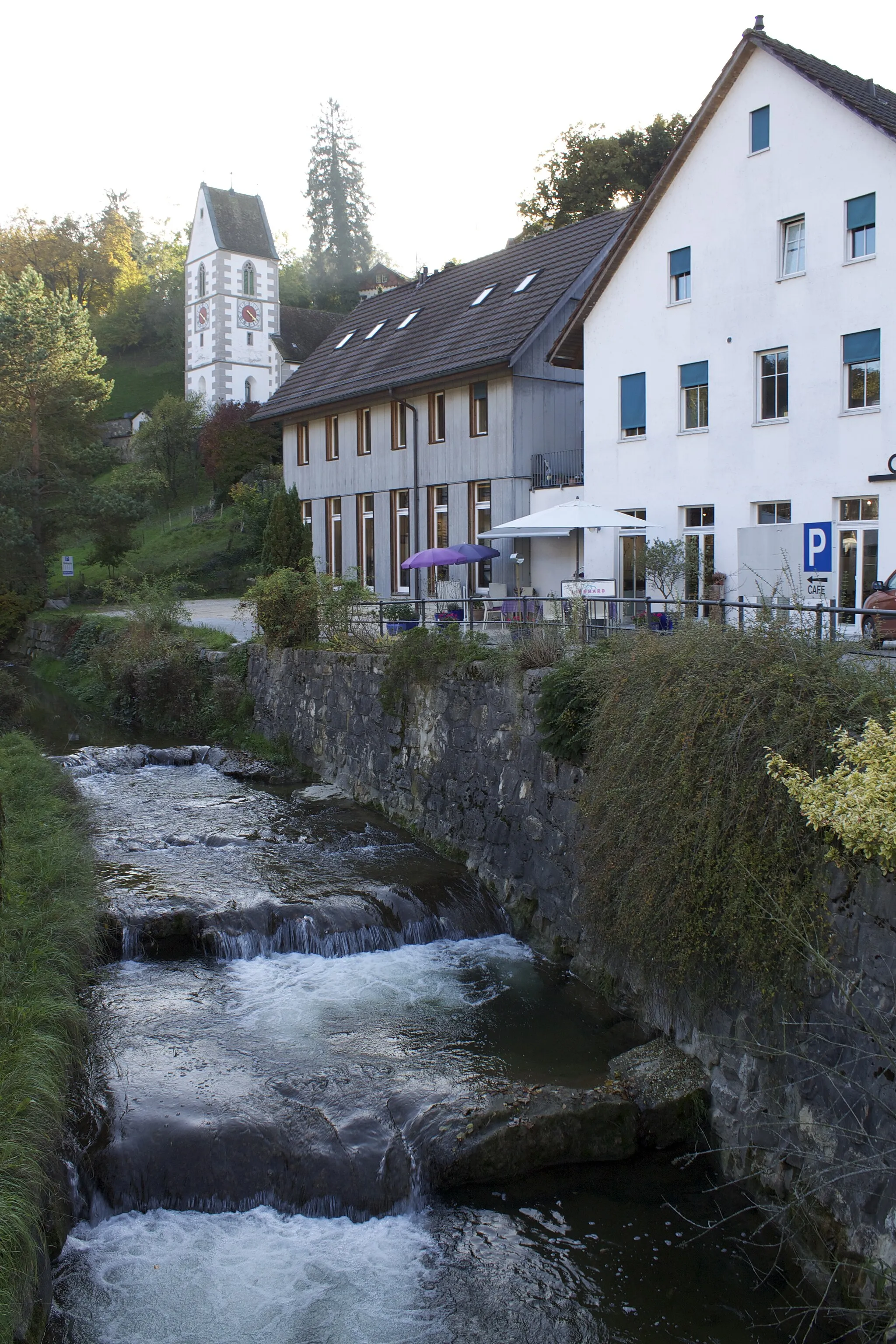
WutöschingenVillageWutöschingen is a small village situated at 69 kilometers, known for its traditional architecture and peaceful atmosphere.
80 km
80 km
Kalter Wangen671 mShelterKalter Wangen, at 80 kilometers, is a picturesque village with charming houses and beautiful views of the Rhine River.
85 km
85 km
WasterkingenVillageWasterkingen, at 85 kilometers, is a typical Swiss village surrounded by idyllic landscapes, offering a peaceful stop on your cycling journey.
90 km
90 km
Finish: Glattfelden Village centerGlattfelden: Picturesque cycling paradise in Zürich
Cycling routes from Glattfelden:
The Swiss Alpine Adventure The Enchanting Black Forest Loop The Rhine Valley Adventure Lakes and Hills Gravel Adventure The Zurich Countryside Challenge The Magical Rhine River Gravel Ride The Vineyards and Villages Gravel Route The Gravel Escape From Downtown Zurich to the Countryside The Hidden Gems of Zurich Zürich Galore
Cycling routes nearby: