Uetliberg Loop
A gravel cycling route starting from Oberengstringen
A scenic gravel route with a mix of challenging climbs and beautiful nature.
Map
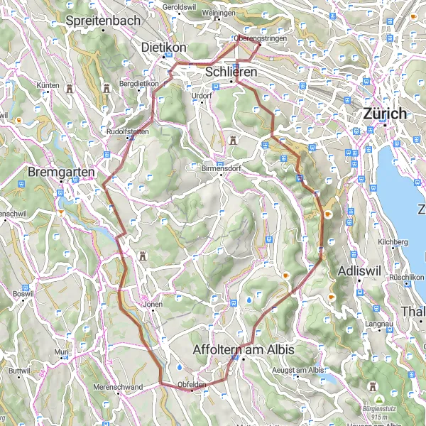
The Uetliberg Loop is a scenic gravel cycling route that takes you through picturesque landscapes and offers a mix of challenging climbs and stunning natural beauty. With a total ascent of 907 meters and covering a distance of 50 kilometers, this route is perfect for cyclists who enjoy both technical terrain and breathtaking views. Starting near Oberengstringen, the route takes you through Uetliberg, Stallikon, Affoltern am Albis, Berikon, Mutschellenpass, and Oberengstringen. Immerse yourself in the tranquility of the Swiss countryside and discover hidden gems along the way. From the majestic Uetliberg mountain to the charming villages, the Uetliberg Loop is a must-ride for nature enthusiasts and avid cyclists.
gravel
50 km
907 m
Tough
Route profile
Highlights on the route
0 km
0 km
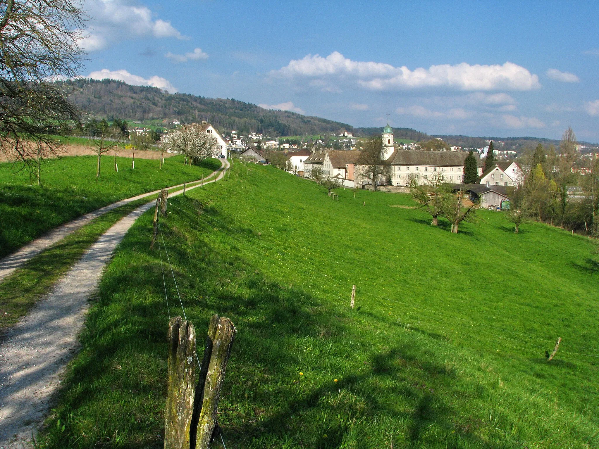
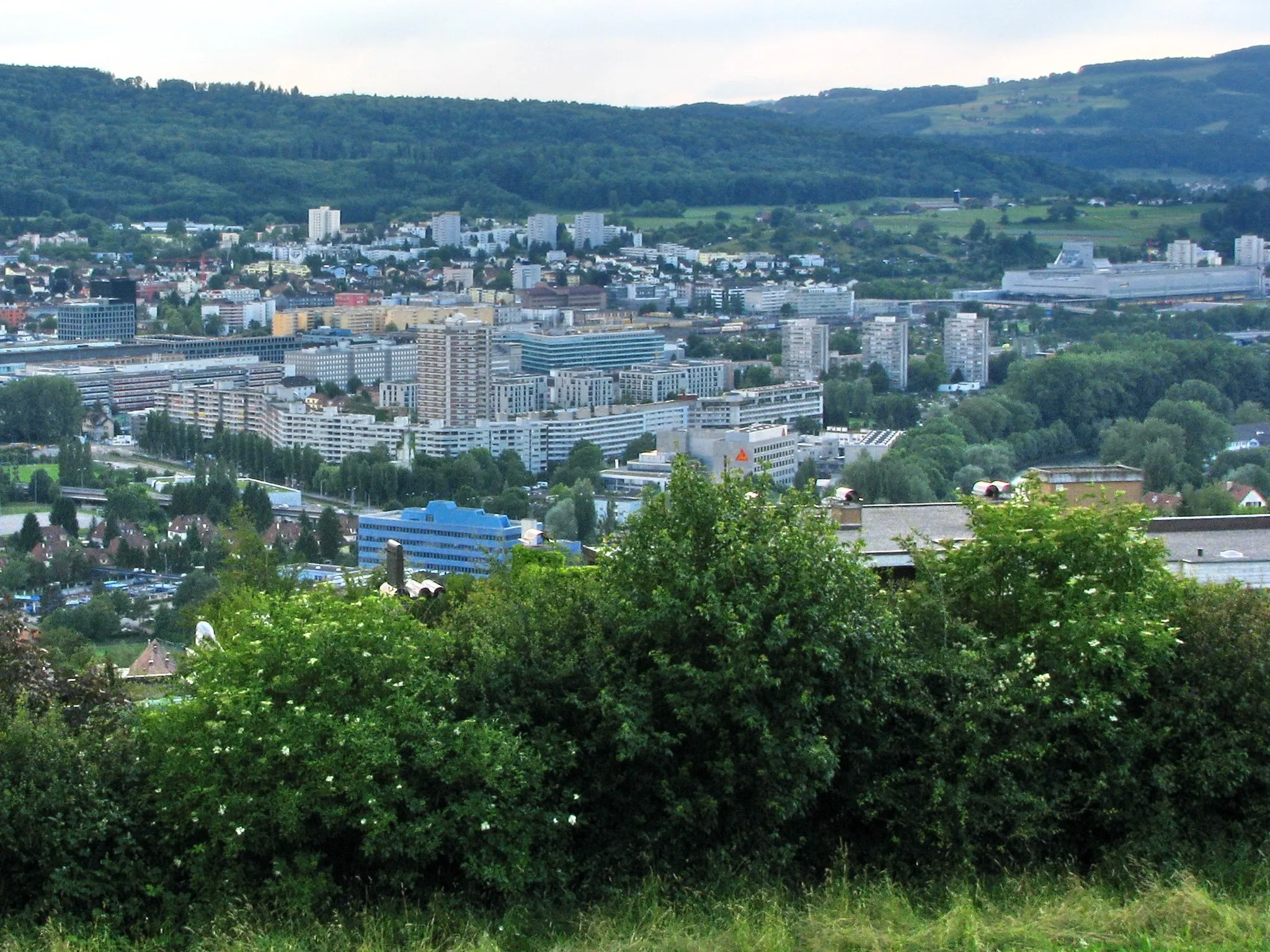
Start: Oberengstringen Village centerOberengstringen: Well-Connected Paths and Legendary Climbs
Oberengstringen, located in the Zürich region of Switzerland, is a cyclist's paradise with its well-developed cycling infrastructure and picturesque surroundings. The locality offers an extensive network of cycle paths and quiet roads, making it safe and enjoyable for road and gravel cyclists alike. Oberengstringen is near the world-famous climb up to Uetliberg, a popular destination for local and international cyclists seeking a challenge. With its cyclist-friendly features and proximity to legendary climbs, Oberengstringen excels as a top cycling destination.9 km
9 km
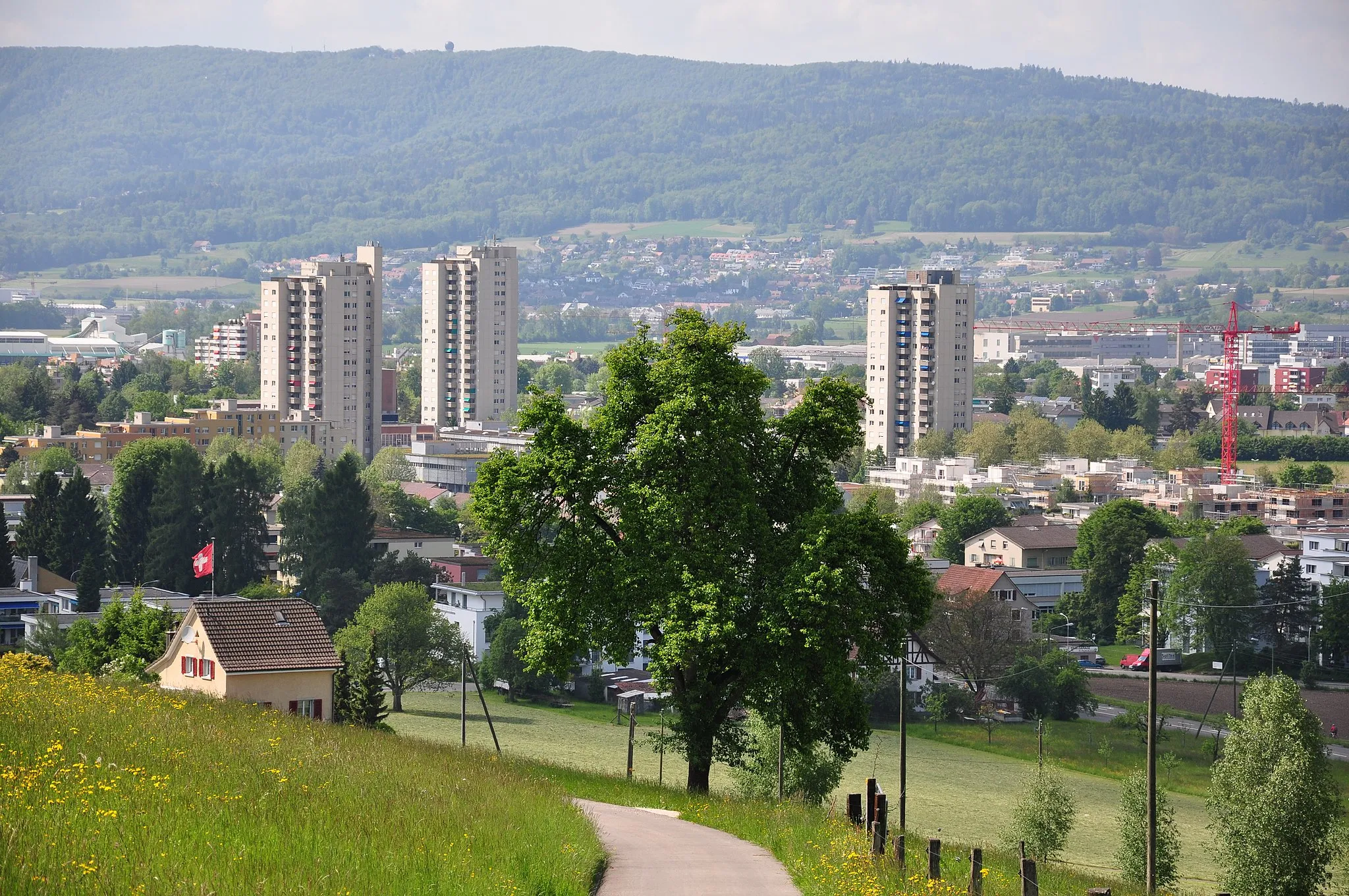
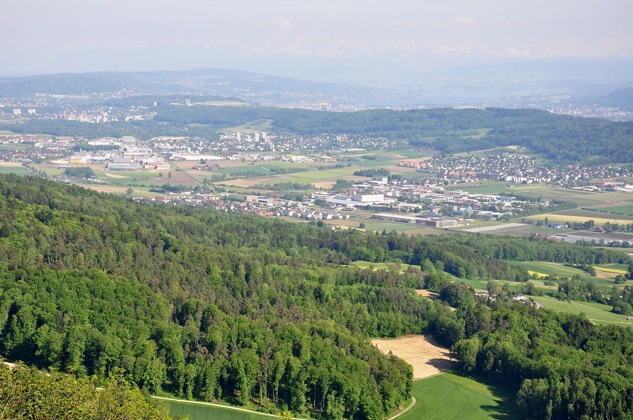
Uetliberg869 mPeak ViewpointUetliberg is Zurich's local mountain and offers breathtaking views of the city and the surrounding landscape. As you reach the summit, take in the panoramic vistas and admire the beauty of nature.
12 km
12 km
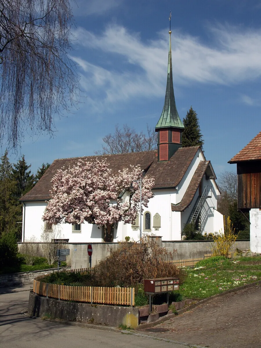
StallikonVillageStallikon is a small village located in the Zurich countryside, known for its idyllic farmland and charming atmosphere. Cycle through the peaceful surroundings and take a moment to enjoy the rural scenery.
20 km
20 km
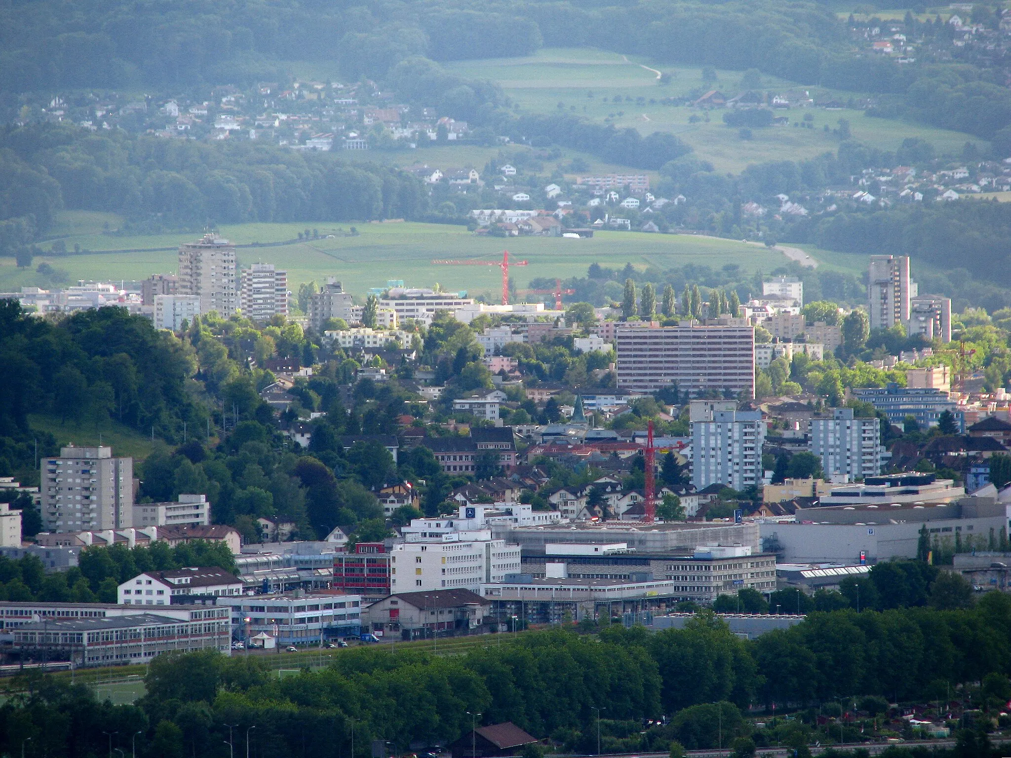
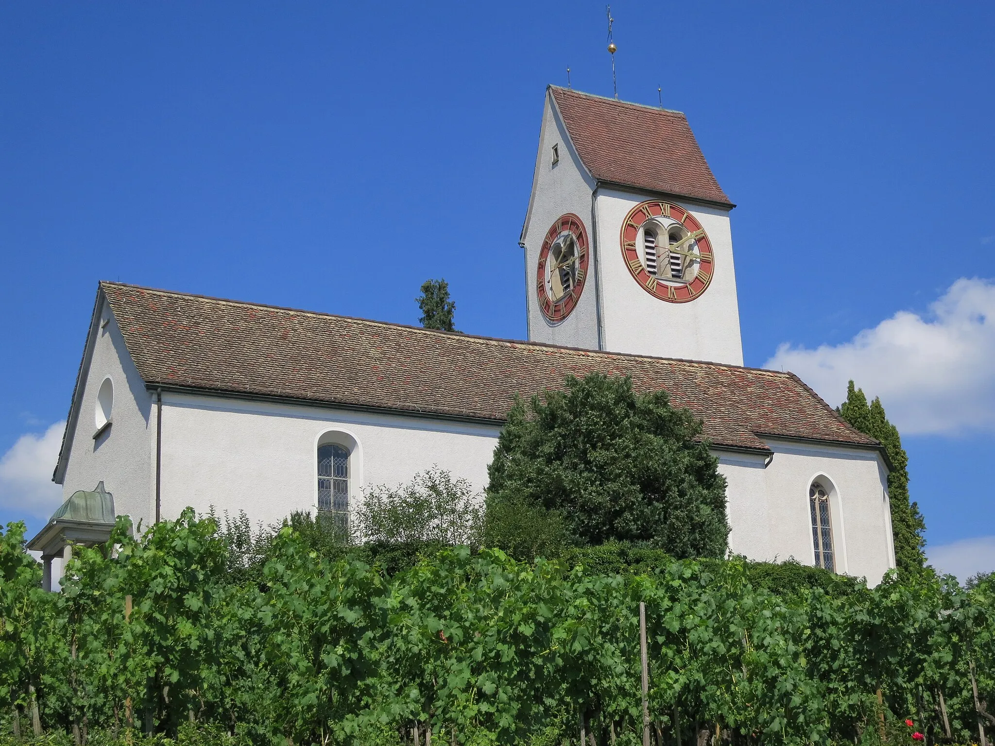
Affoltern am AlbisTownAffoltern am Albis is a lovely village nestled in the scenic Albis mountain range. Explore the ancient ruins of the Affoltern Church or take a leisurely stroll through the picturesque town center.
37 km
37 km
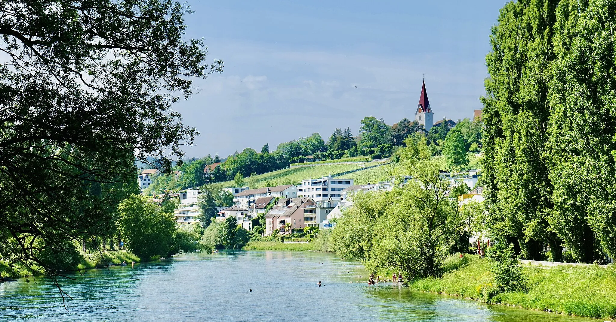
BerikonVillageBerikon is a vibrant municipality with a rich history and cultural heritage. Admire the beautifully preserved traditional houses and explore the local museums to learn more about the area.
38 km
38 km
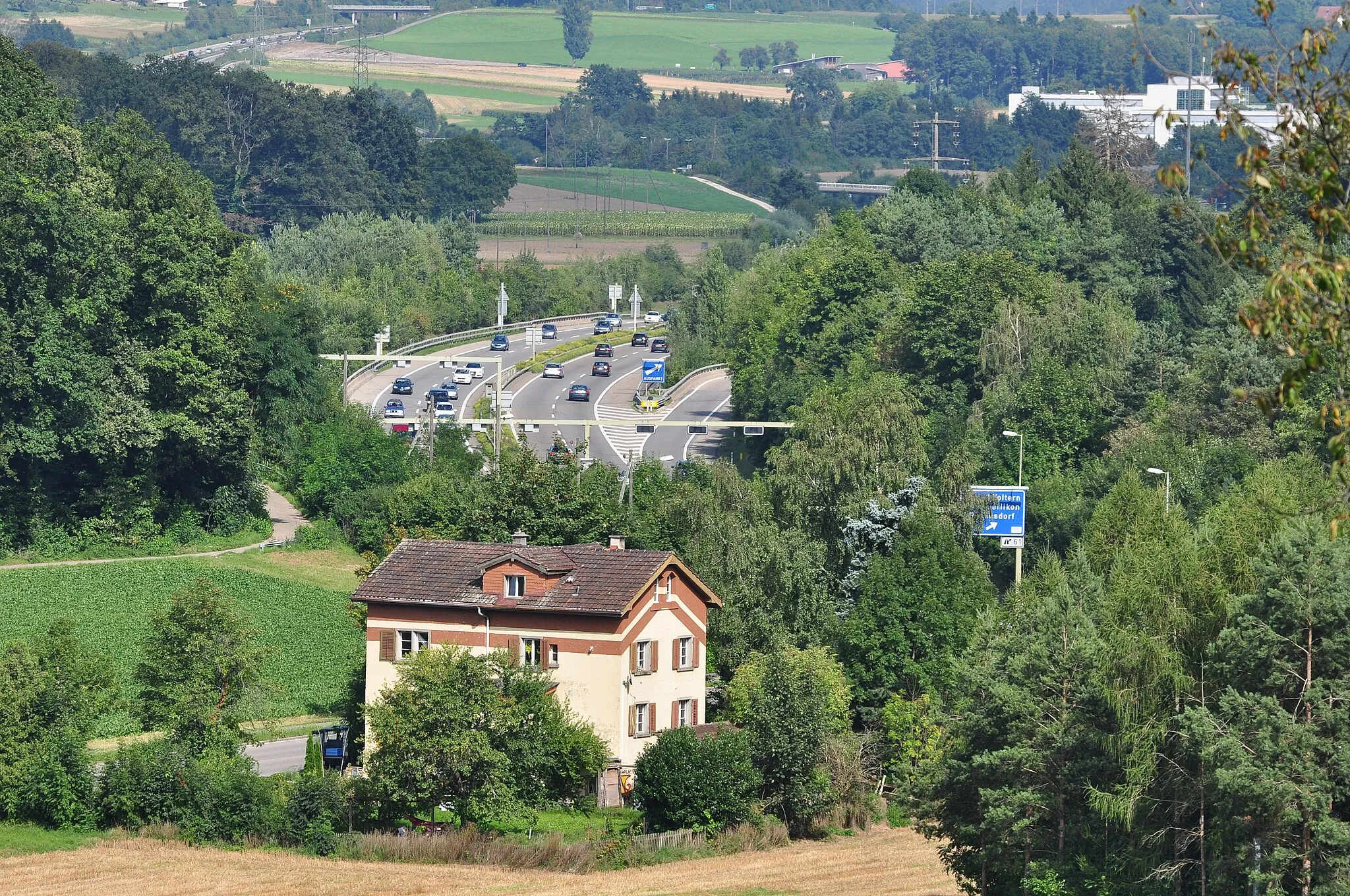
Mutschellenpass551 mMountain PassMutschellenpass is a historic mountain pass that connects the Zurich highlands with the Reuss Valley. Enjoy the stunning alpine scenery and experience the thrill of conquering this challenging climb.
50 km
50 km
OberengstringenVillageOberengstringen is your starting point and offers a glimpse into the local Swiss lifestyle. Embark on your cycling adventure and take the opportunity to explore the charming village and its surrounding areas.
50 km
50 km
Finish: Oberengstringen Village centerOberengstringen: Well-Connected Paths and Legendary Climbs
Cycling routes from Oberengstringen:
Gubrist Loop Uetliberg Loop The Taste of Nature: Cycling at Schlieren and Heitersbergpass Historical Road Ride from Oberengstringen to Gubrist Scenic Road Ride from Oberengstringen to Dietikon Gravel Adventure from Oberengstringen to Höngg The Grand Tour of the Aargau Urdorf Loop Lake Lucerne Adventure Ride Pfäffikon Tour Natural Wonders and Scenic Routes Altberg and Historic Castles
Cycling routes nearby: