Historic Road Loop
A road cycling route starting from Rorbas
Experience the history and beauty of the surroundings on this road loop
Map
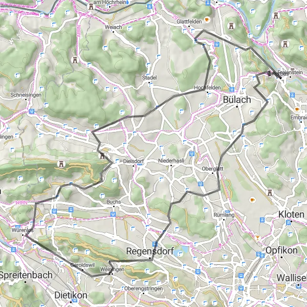
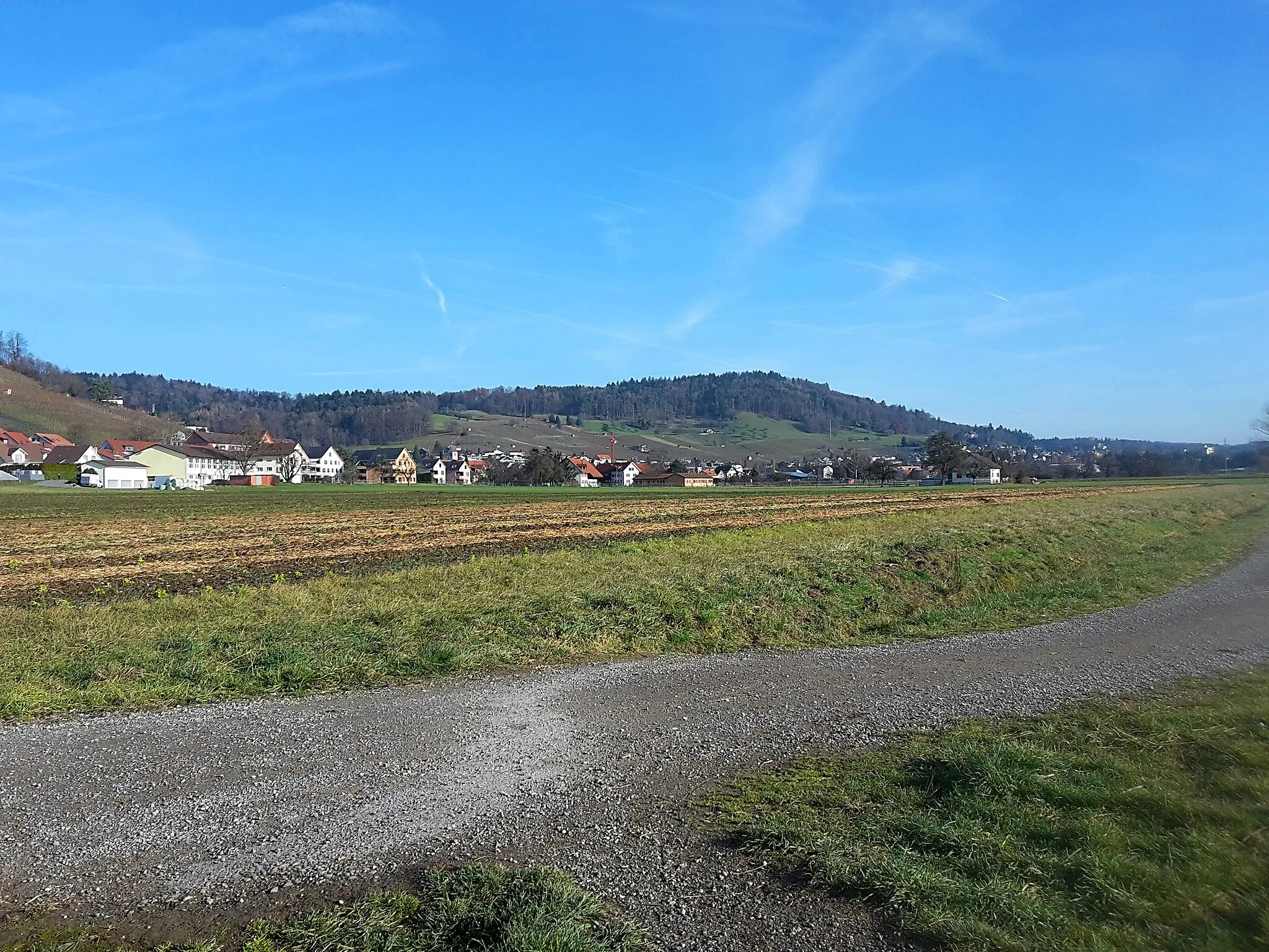
This road loop starting near Rorbas covers a distance of 61 km with an elevation gain of 1068m. Immerse yourself in the rich history and beautiful landscapes as you pass through Gubrist, Boppelsen, and Glattfelden. This route offers a mix of challenging climbs and charming countryside scenery.
road
61 km
1068 m
Tough
Route profile
Highlights on the route
0 km
0 km
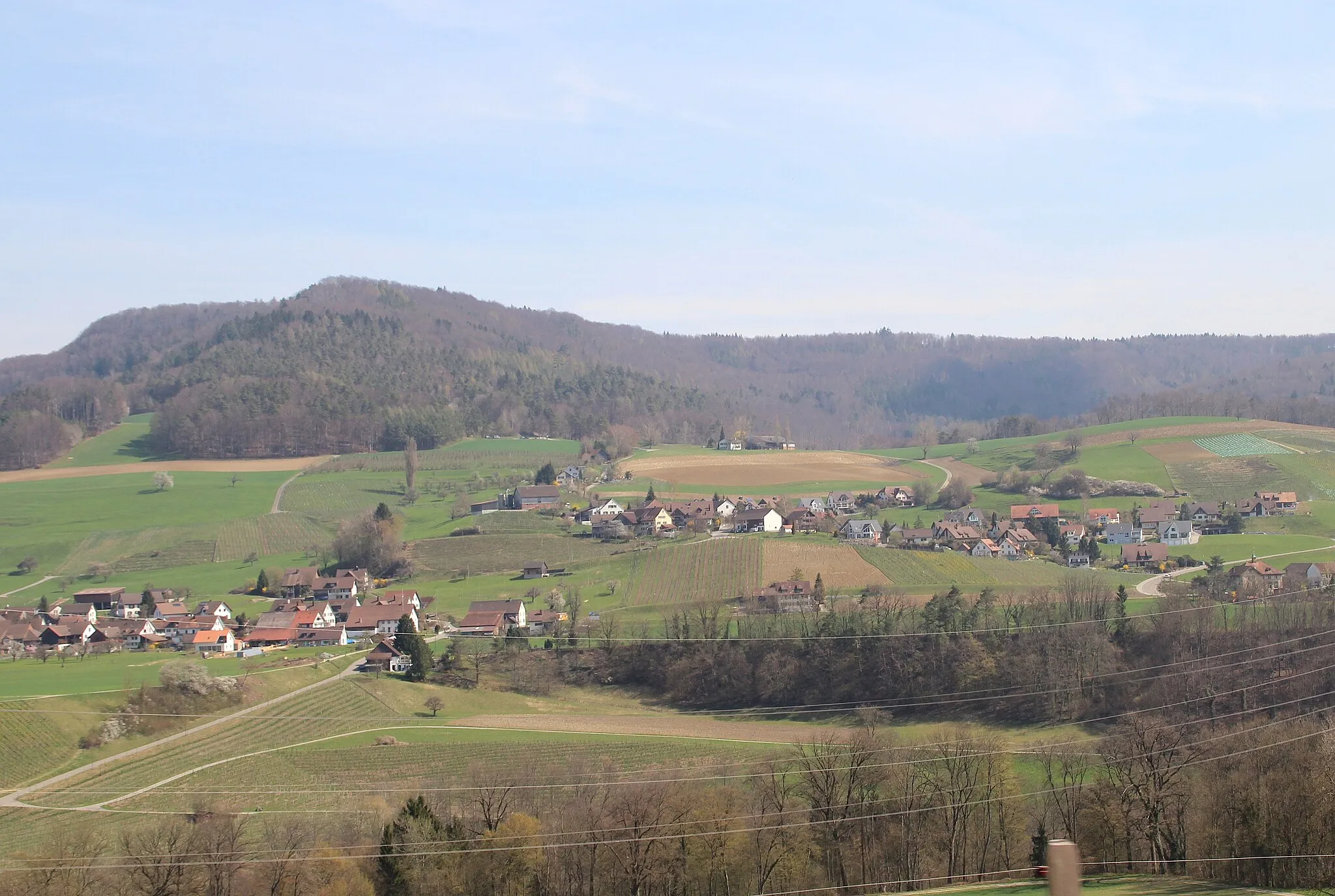
Start: Rorbas Village centerRorbas: Scenic countryside and access to notable climbs.
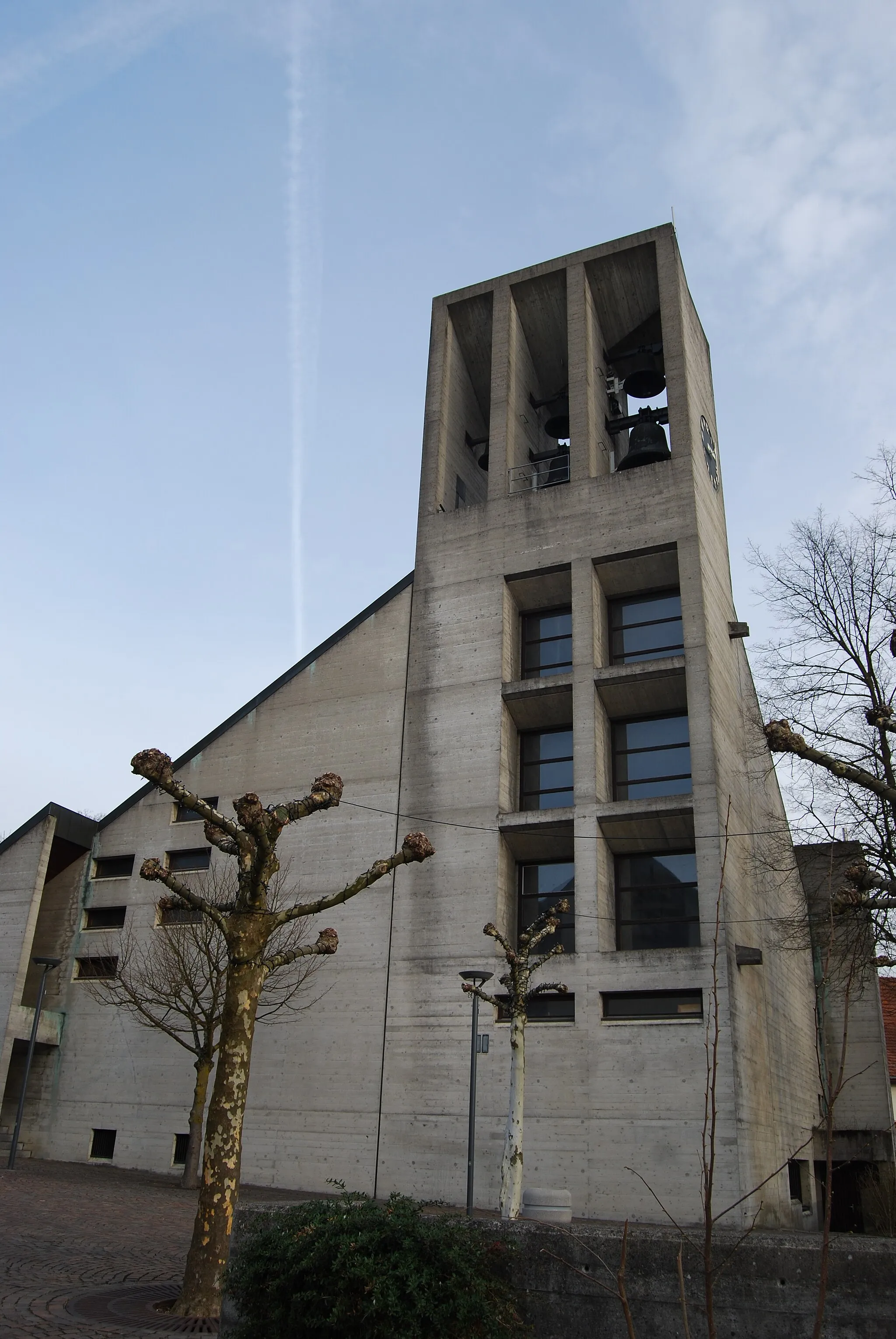
Rorbas is a small locality located in the Zürich region of Switzerland. It offers a pleasant cycling experience with its well-maintained roads and scenic landscapes. As a road or gravel cyclist, you'll find a variety of routes to explore in the surrounding countryside. One notable cycling spot nearby is the climb up Adlisberg, which offers stunning views and a challenging ascent. Rorbas is also within proximity to the famous Flumserberg climb, making it a great base for more advanced cyclists. Overall, Rorbas provides a suitable base for cyclists looking to enjoy the beauty of the Zürich region and explore challenging routes.3 km
3 km
Dättenberg560 mPeakDättenberg is a small hill with panoramic views of the countryside. Take a moment to appreciate nature's beauty.
11 km
11 km
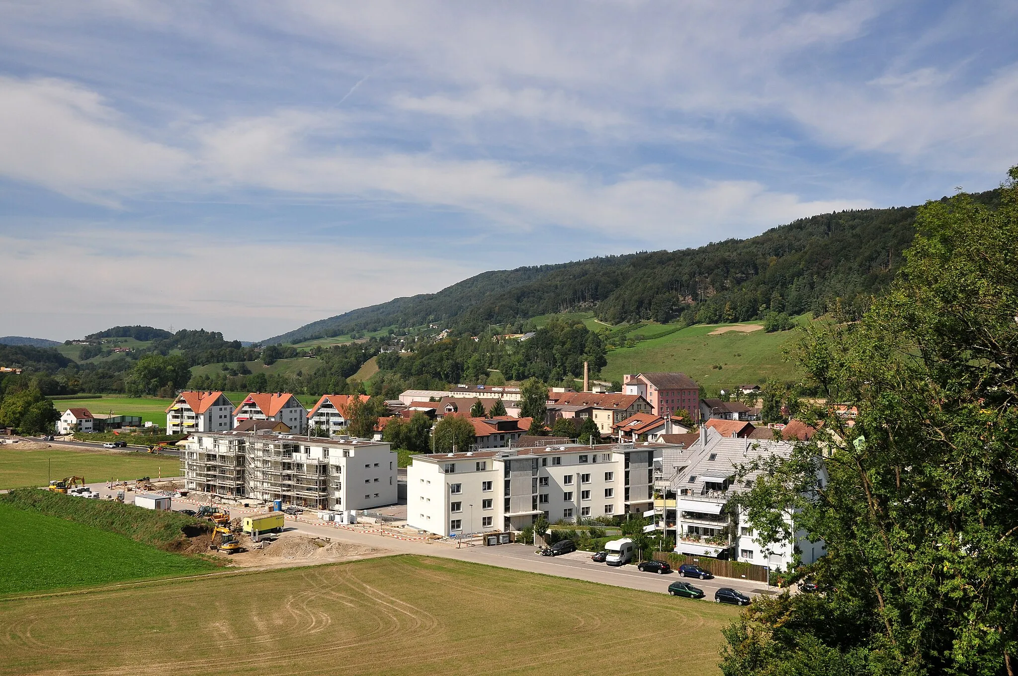
OberglattVillageOberglatt is a village surrounded by green meadows and dotted with traditional Swiss houses.
21 km
21 km
Gubrist615 mPeakGubrist is a historic pass that has been used for centuries. Marvel at the ancient route and its significance in local history.
30 km
30 km
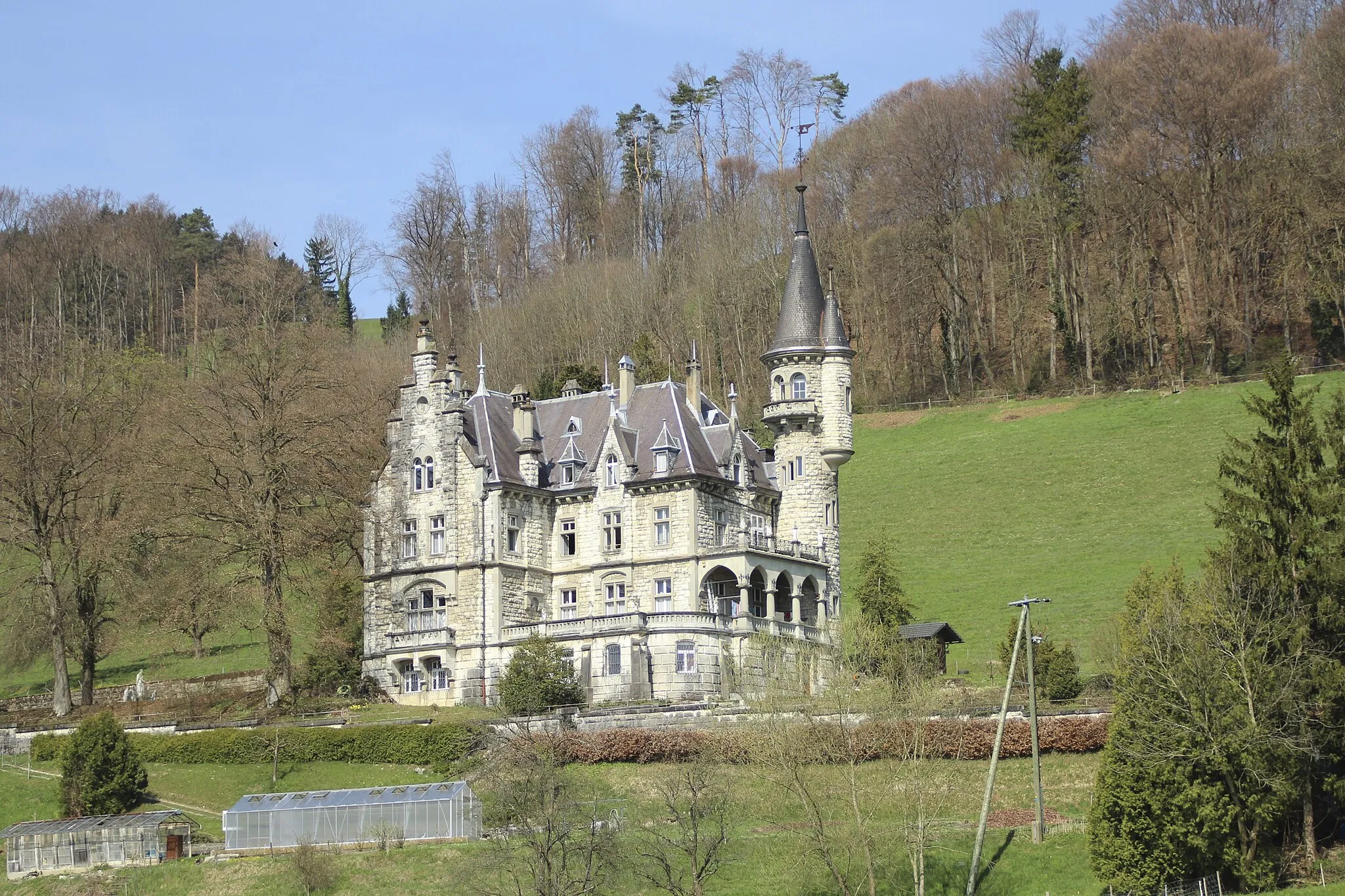
WürenlosVillageWürenlos is a small town situated near the Limmat River. Enjoy the scenic beauty and peaceful atmosphere.
36 km
36 km
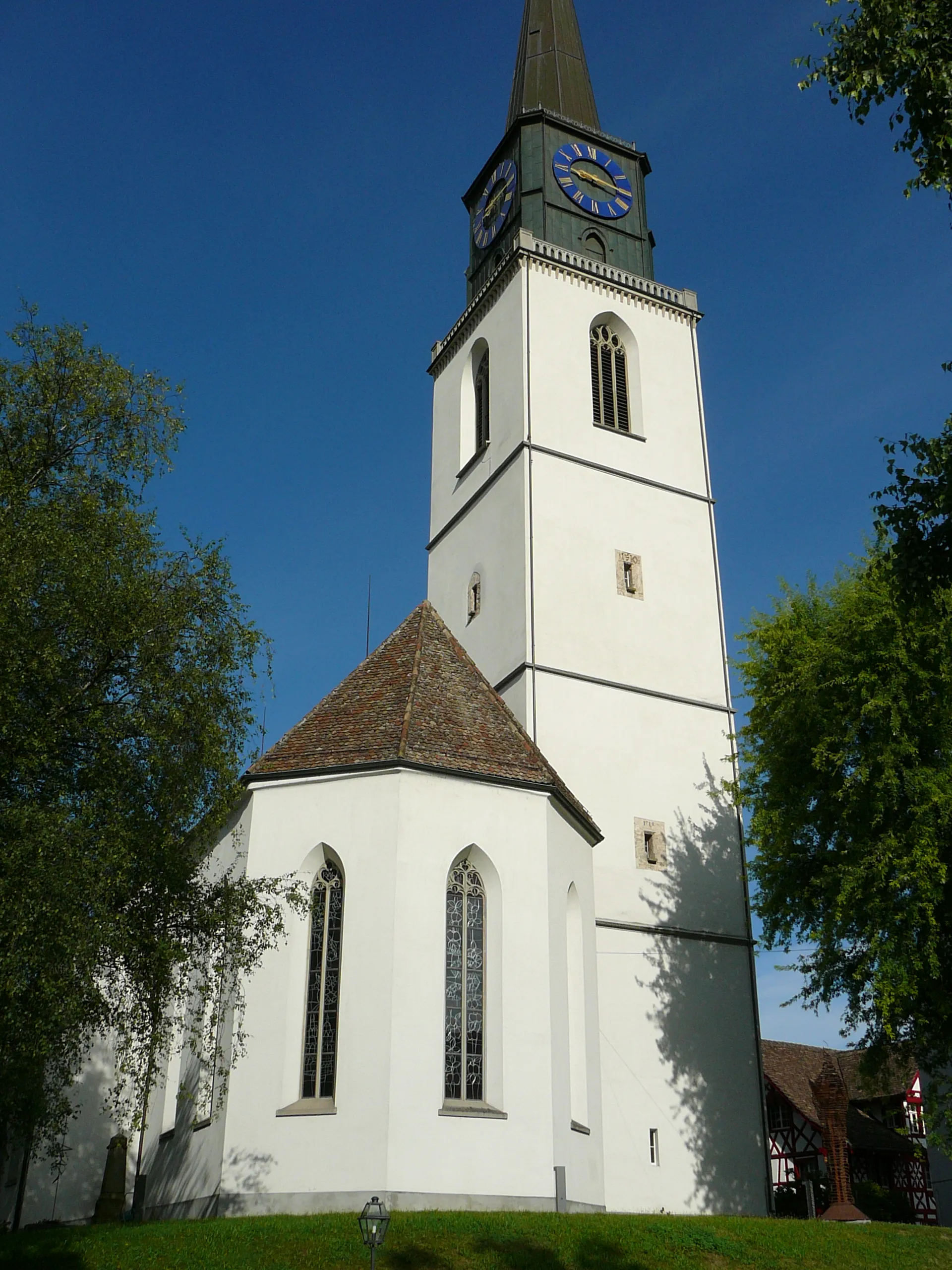
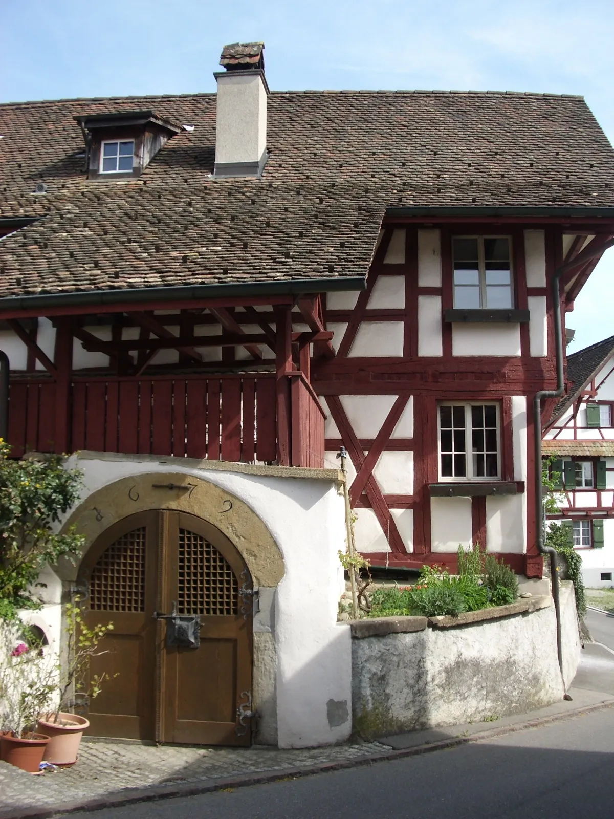
BoppelsenVillageBoppelsen is a charming village with a well-preserved old town. Explore its narrow streets and admire the traditional architecture.
45 km
45 km
Heitlig516 mMountain PassHeitlig offers idyllic countryside landscapes and a tranquil environment for riders looking to unwind.
54 km
54 km
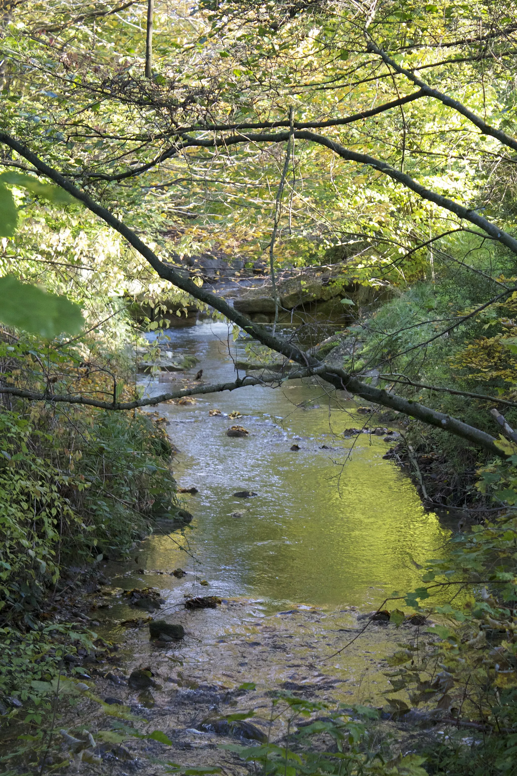
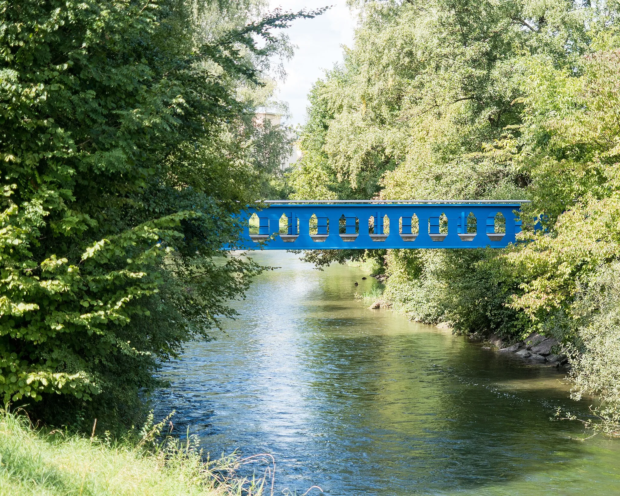
GlattfeldenVillageGlattfelden is a picturesque village located along the banks of the river Glatt. Enjoy the peaceful surroundings and charming atmosphere.
59 km
59 km
Höhrain526 mPeakHöhrain is a mesmerizing nature area with dense forests and idyllic meadows.
61 km
61 km
Finish: Rorbas Village centerRorbas: Scenic countryside and access to notable climbs.
Cycling routes nearby: