Hanak to Tazeköy Road Route
A road cycling route starting from Hanak
Cycle through scenic landscapes to reach the idyllic village of Tazeköy.
Map
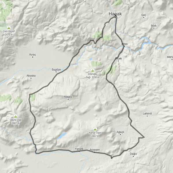
Enjoy a scenic cycling adventure from Hanak to Tazeköy on this road route. With a total distance of 125 km and an elevation gain of 1,459 meters, this route offers a moderate challenge suitable for experienced cyclists. Along the way, you'll pass through picturesque countryside and charming villages. The highlight of this route is Tazeköy, a idyllic village known for its natural beauty and traditional architecture. Take a break and explore the village's narrow streets, peaceful gardens, and local craft shops. Overall, this route offers a mix of stunning landscapes, cultural experiences, and a enjoyable cycling journey.
road
125 km
1459 m
Tough
Route profile
Highlights on the route
0 km
0 km
Start: Hanak City centerHanak: Conquer the heights of Turkey's Ağrı, Kars, Iğdır, Ardahan region.
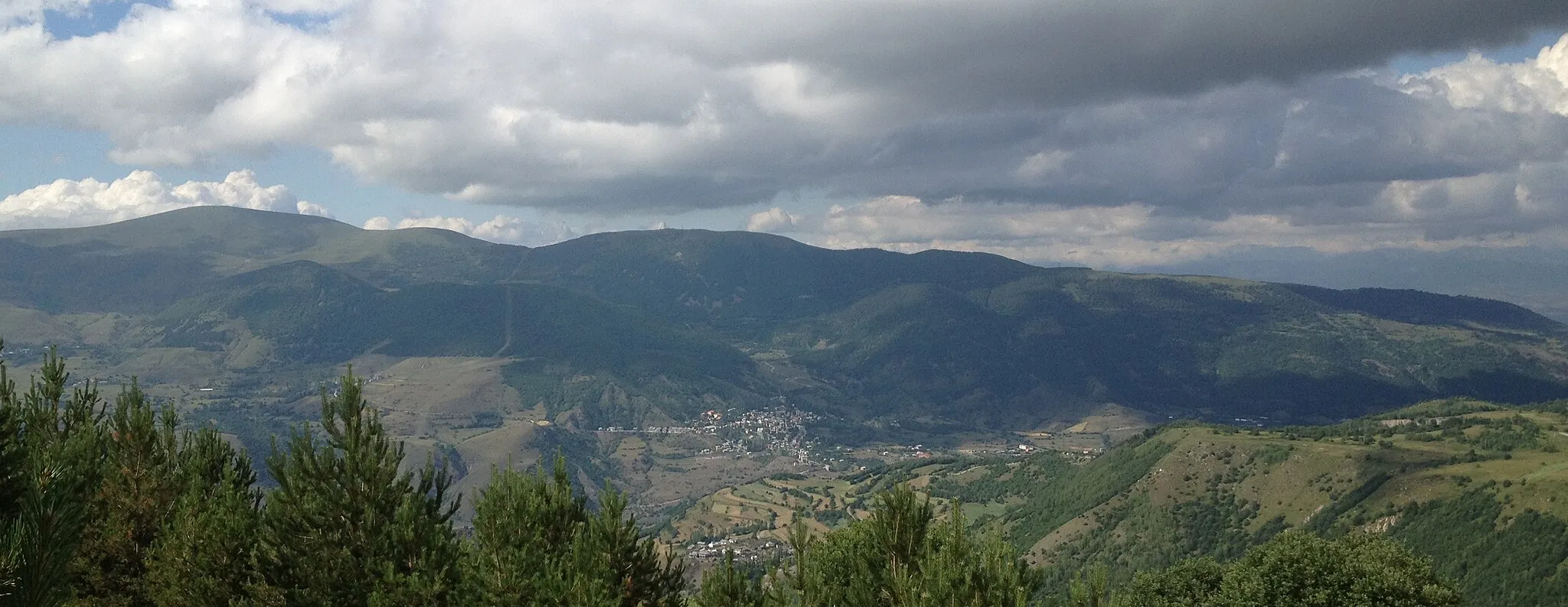
Hanak is a locality located in the regions of Ağrı, Kars, Iğdır, and Ardahan in Turkey. From a cyclist's perspective, this area provides challenging terrain and mountainous roads suitable for experienced road and gravel cyclists. The routes often take cyclists through epic mountain landscapes, remote villages, and ancient ruins. The famous climb nearby is Mount Ararat, a legendary ascent for cycling enthusiasts.26 km
26 km
TazeköyVillageTazeköy is a charming village known for its natural beauty and traditional architecture. Take some time to explore the village's narrow streets and peaceful gardens.
103 km
103 km
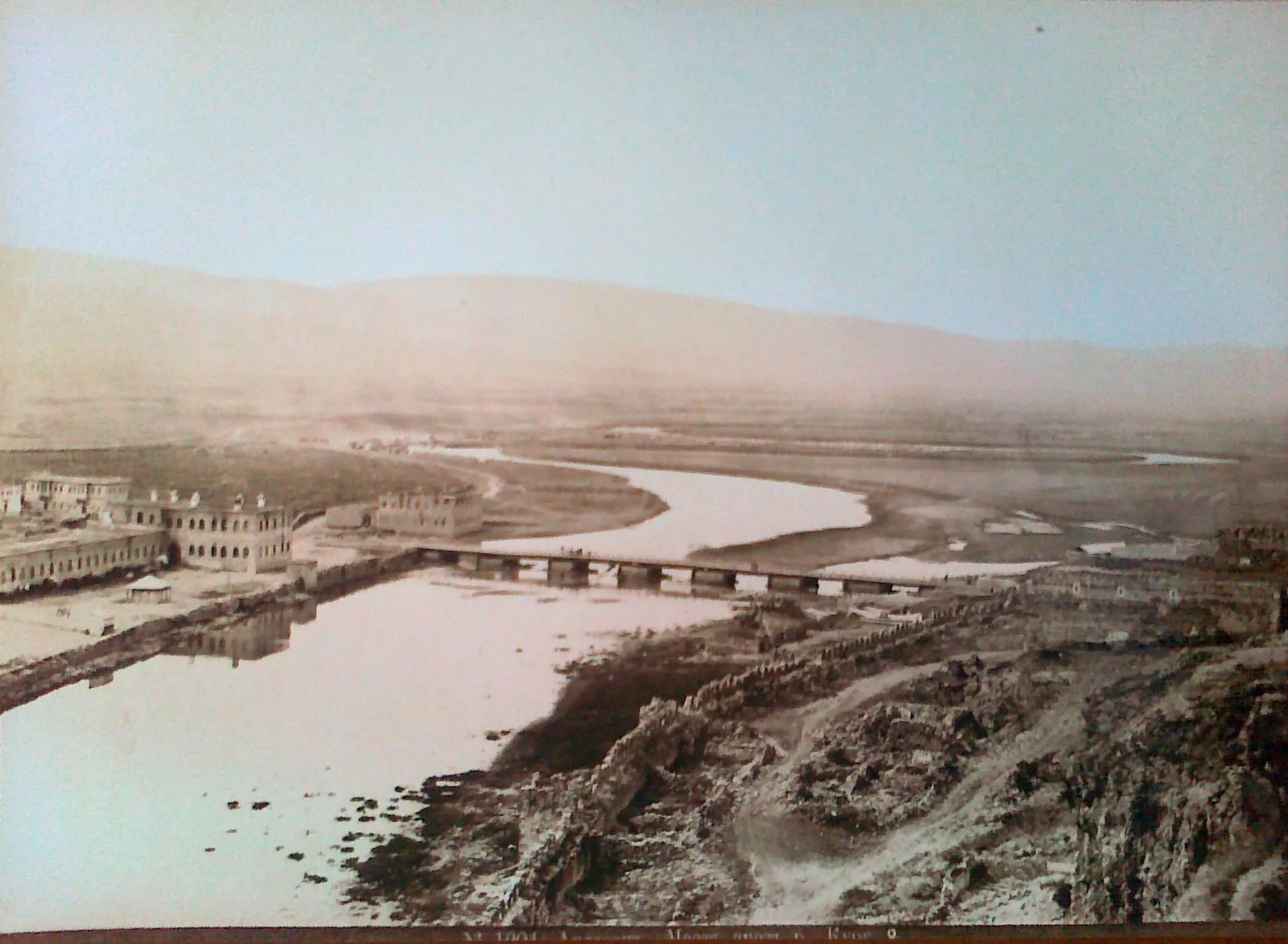
Ardahan CastleCastleArdahan Castle is another highlight along this route. Stop by and discover the history of this ancient fortress.
125 km
125 km
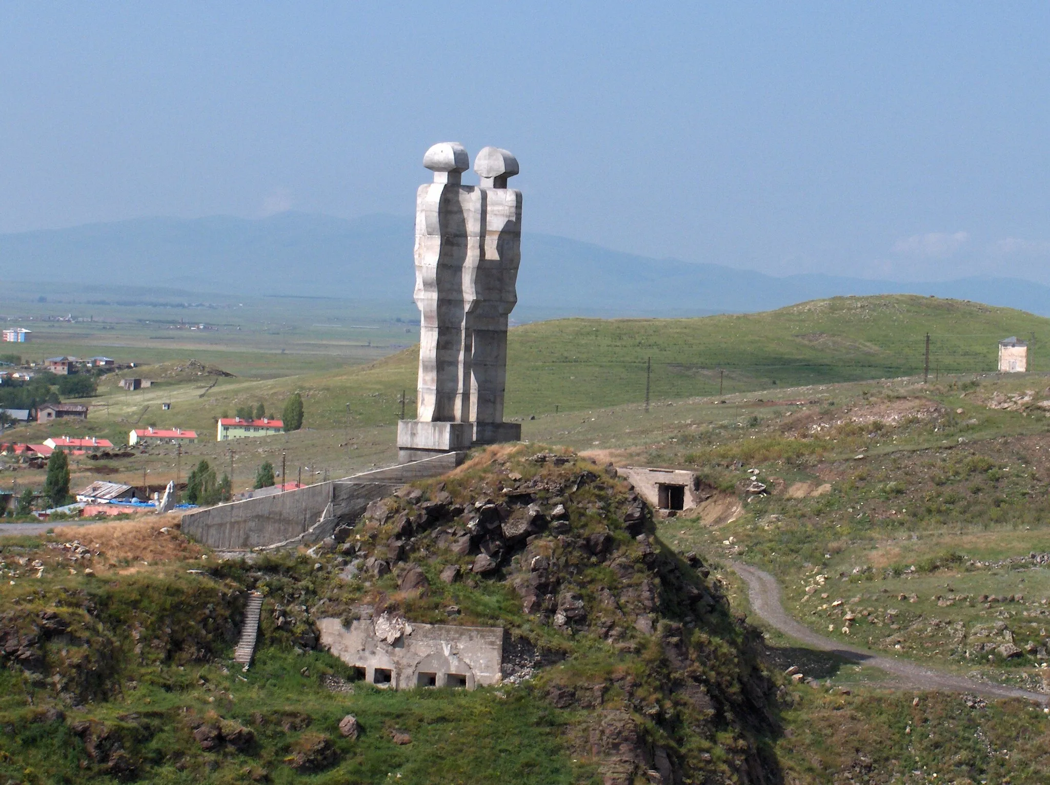
HanakTownHanak, the starting and ending point of this route, is a delightful town with a vibrant atmosphere. Explore its charming streets before or after your ride.
125 km
125 km
Finish: Hanak City centerHanak: Conquer the heights of Turkey's Ağrı, Kars, Iğdır, Ardahan region.
Cycling routes nearby: