Erzincan to Çayırlı Cycling Adventure
A road cycling route starting from Erzincan
Embark on a thrilling cycling adventure from Erzincan to Çayırlı, with highlights of Kurutilek and Altıntepe Höyüğü.
Map

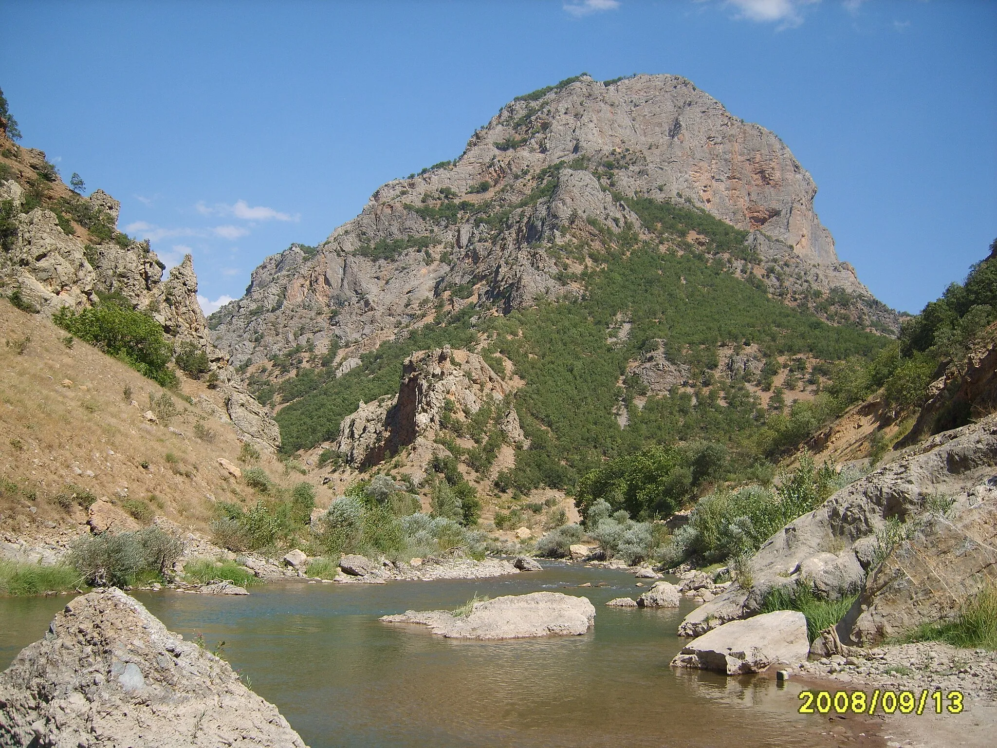
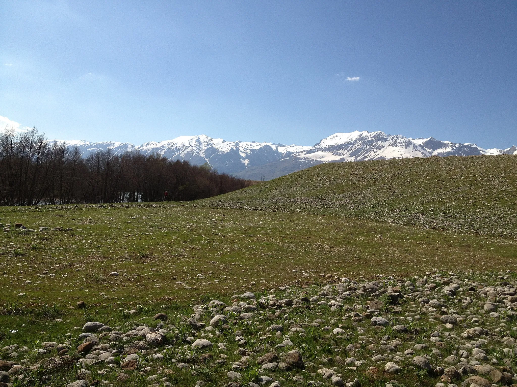
Experience the unforgettable journey from Erzincan to Çayırlı over a distance of 215 kilometers and an elevation gain of 2,682 meters. This challenging road cycling route takes you through picturesque landscapes, where you can immerse yourself in the natural beauty of the region. Discover the hidden gems of Kurutilek and Altıntepe Höyüğü while riding through scenic routes, rich in history and natural wonders.
road
215 km
2682 m
Tough
Route profile
Highlights on the route
0 km
0 km
Start: Erzincan City centerErzincan: Cycling adventures await in Erzincan's mountainous terrain.
Erzincan is a locality in the Erzurum, Erzincan, Bayburt region of Turkey. It is a cyclist-friendly area with scenic routes that cater to road and gravel cyclists. The mountainous terrain and quiet roads provide great opportunities for adventurous rides, and cyclists can enjoy breathtaking views of the surrounding landscapes. One well-known climb nearby is Mercan Pass, offering a challenging ascent and rewarding panoramic views.3 km
3 km
KurutilekSub-urbKurutilek offers a brief stopover with limited attractions, mainly serving as a resting point for cyclists on this long trail.
80 km
80 km
ÇayırlıTownEmbrace the beauty of Çayırlı and capture postcard-worthy photos as you cycle through its charming landscapes.
200 km
200 km
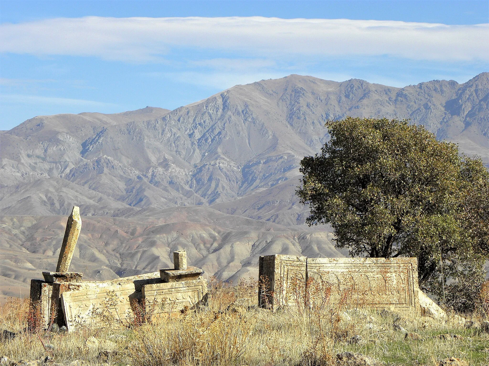
Altıntepe HöyüğüAttractionMarvel at the historical significance of Altıntepe Höyüğü, an archaeological site portraying the ancient origins of the region.
215 km
215 km
ErzincanCityExperience Erzincan's enchanting ambiance as you pass through the city streets and explore its cultural essence.
215 km
215 km
Finish: Erzincan City centerErzincan: Cycling adventures await in Erzincan's mountainous terrain.
Cycling routes from Erzincan:
Erzincan Loop via Kale Tepesi and Çarhanek Tepesi Erzincan Loop via Kale Tepesi and Hozlar Tepesi Erzincan to Söğütlü Cycling Challenge Erzincan to Çayırlı Cycling Adventure Erzincan Loop: Scenic Beauty and Adventure Erzincan Gravel Adventure Discovering Bayburt The Pülümür Experience Erzincan Mountain Challenge Exploring Erzincan's Gravel Paths
Cycling routes nearby: