Experience diverse cycling routes amidst the natural beauty of Berkshire, Buckinghamshire, and Oxfordshire in Amersham.
Cycling routes from Amersham
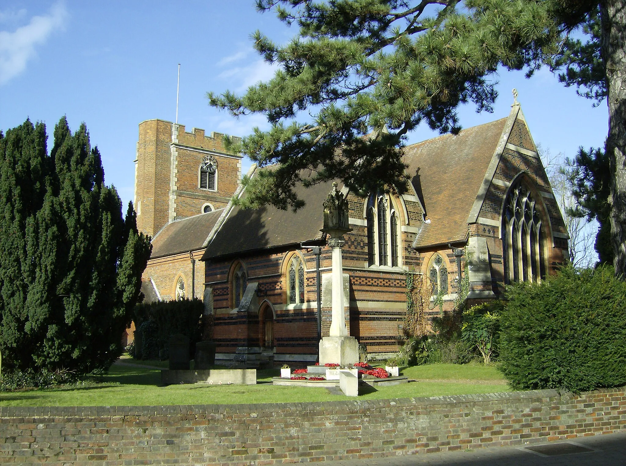
Amersham is a town located in Berkshire, Buckinghamshire and Oxfordshire, United Kingdom. From the perspective of a road and gravel cyclist, Amersham offers a mix of challenging and scenic routes. The surrounding countryside provides rolling hills and picturesque landscapes, making it a great location for experienced cyclists. While there are no famous cycling spots or well-known climbs in close proximity, the varied terrain and charming rural scenery make Amersham an attractive destination for cycling enthusiasts.

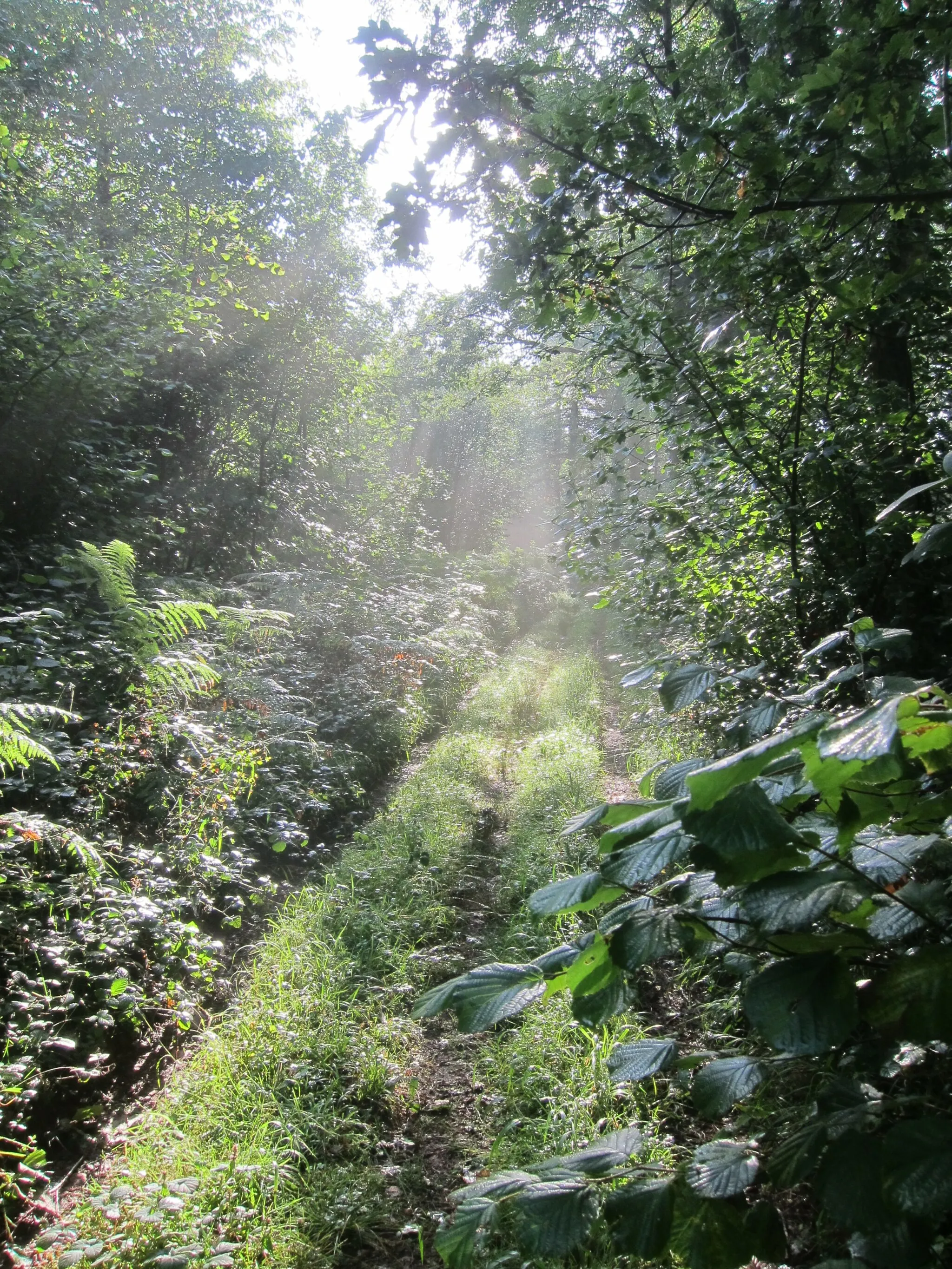
Enjoy a pleasant gravel ride through Gerrards Cross before reaching Coleshill Nature Reserve.
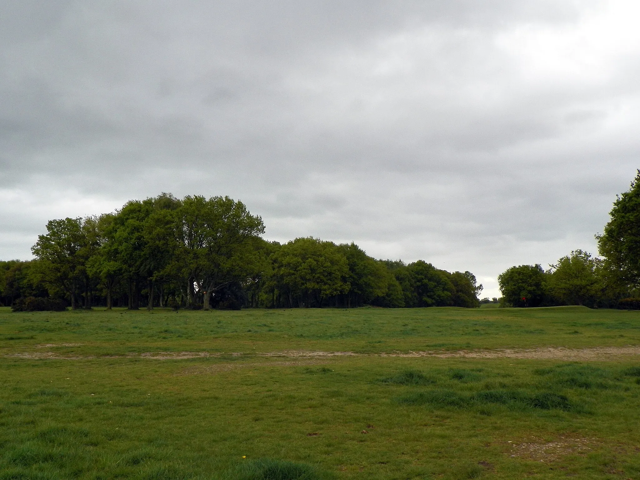
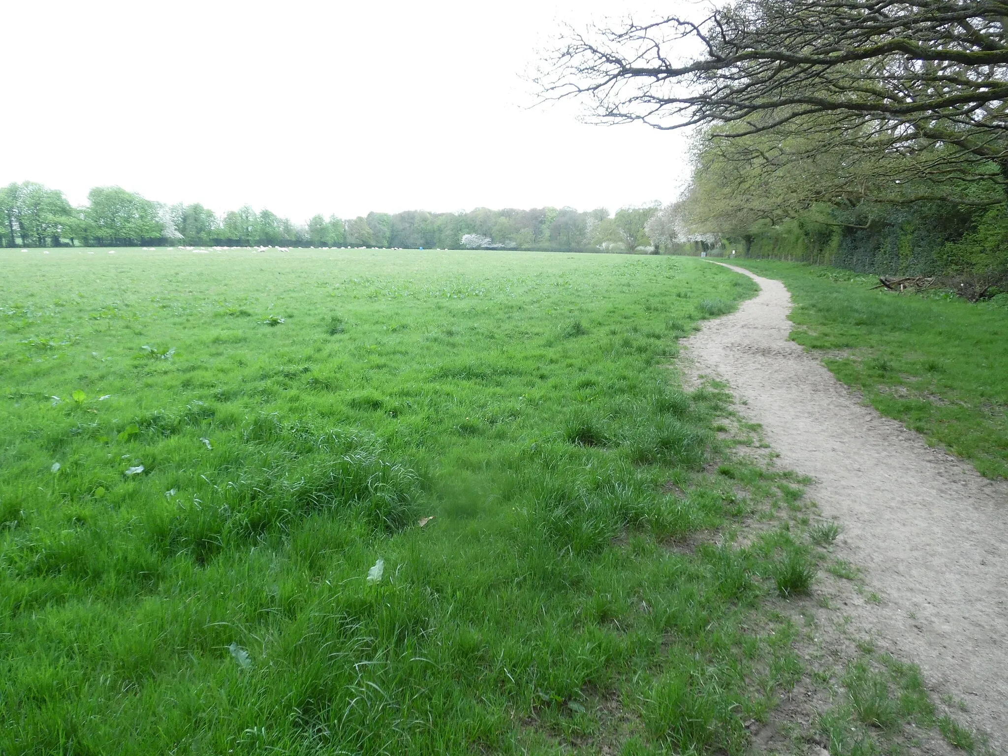
Set off on an idyllic 59-kilometer gravel route from Amersham to Coleshill. This route offers a gentle ascent of 318 meters and takes you through Gerrards Cross and Yiewsley before reaching the stunning Coleshill Nature Reserve. Immerse yourself in nature and bask in the tranquil ambiance of the reserve. This route is suitable for gravel riders of all levels seeking a peaceful and scenic ride.

Cycling loop from Amersham to Chesham Bois with stunning countryside views
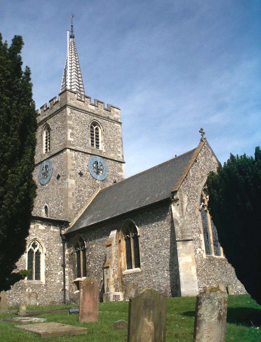
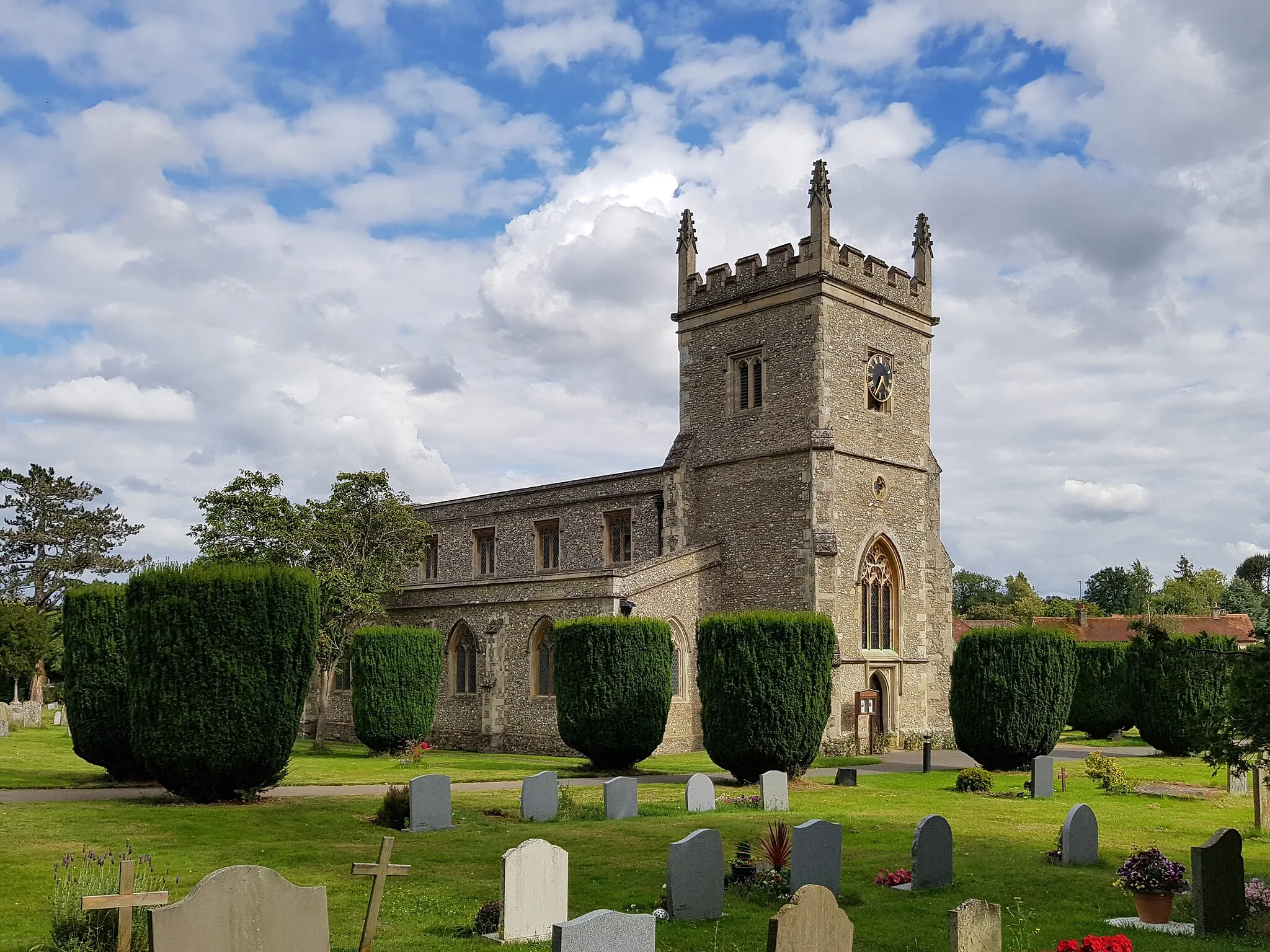
This round-trip cycling route starts in Amersham and takes you through picturesque countryside to Chesham Bois. The route offers beautiful views of rolling hills and charming villages. With a total ascent of 921 meters and a distance of 112 kilometers, it is suitable for well-trained amateur cyclists. The route is epic with a score of 4 out of 5, thanks to the challenging elevation and scenic landscapes. Highlights along the route include Amersham, known for its historic buildings, the Hospital of Saint John The Baptist, a fascinating medieval hospital, and Chesham Bois, a quaint village with beautiful architecture.

Cycle through scenic countryside to reach the charming village of Chenies.
Uncover the beauty of the countryside on this 38-kilometer gravel route from Amersham to Chenies. With an ascent of 421 meters, the route takes you through Ashley Green and Felden before arriving at the picturesque village of Chenies. Enjoy the tranquil surroundings and quaint villages along the way. Suitable for gravel riders of all levels, this route offers a moderate difficulty level and captivating landscapes.
Amersham to Chenies Gravel Ride

Experience the beauty of the Amersham countryside on a gravel ride to Chenies
Embark on a gravel ride from Amersham to Chenies and witness the natural beauty of the Amersham countryside. With a total ascent of 265 meters and a distance of 37 kilometers, this route is suitable for cyclists looking for a shorter off-road adventure. It offers a diverse and exciting experience, scoring an epicness rating of 3 out of 5. Highlights of the route include Amersham, known for its historic charm, and Chenies, a small village with medieval origins and stunning countryside surroundings.
Discover the charming villages of Little Chalfont on this scenic cycling route.
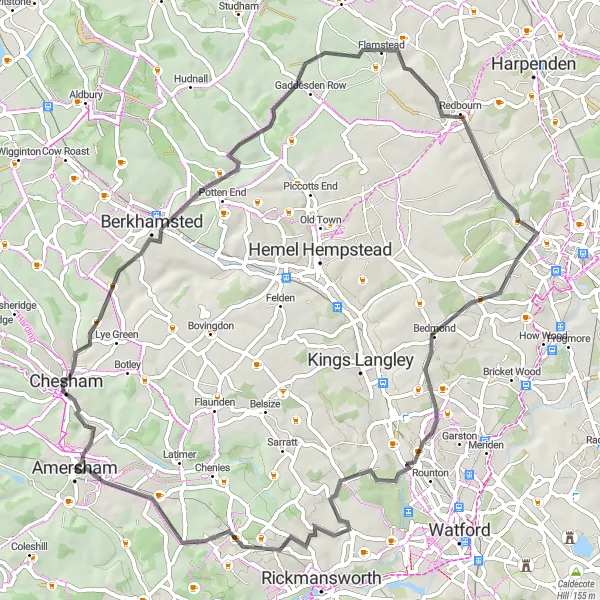
Embark on a picturesque journey from Amersham to Little Chalfont. The route covers a distance of 66 kilometers with an ascent of 629 meters. Enjoy the rolling hills and stunning countryside as you cycle through Nettleden, Flamstead, Potters Crouch, and finally reaching your destination in Little Chalfont. This moderate difficulty level route is suitable for experienced cyclists looking for a delightful ride.
Scenic road cycling route from Amersham to Latimer with stunning views along the way
Cycle from Amersham to Latimer and experience the scenic beauty of the Chilterns. With a total ascent of 590 meters and a distance of 66 kilometers, this road cycling route provides a challenging yet rewarding journey for well-trained amateur cyclists. The route is rated 3 out of 5 for difficulty and 4 out of 5 for epicness. Highlights of the route include Amersham, with its historic charm, Northchurch, a village known for its rich history, and Latimer, offering breathtaking views of the surrounding countryside.
Amersham to Latimer Gravel Route

Embark on a scenic gravel ride to Latimer and explore its historical landmarks.
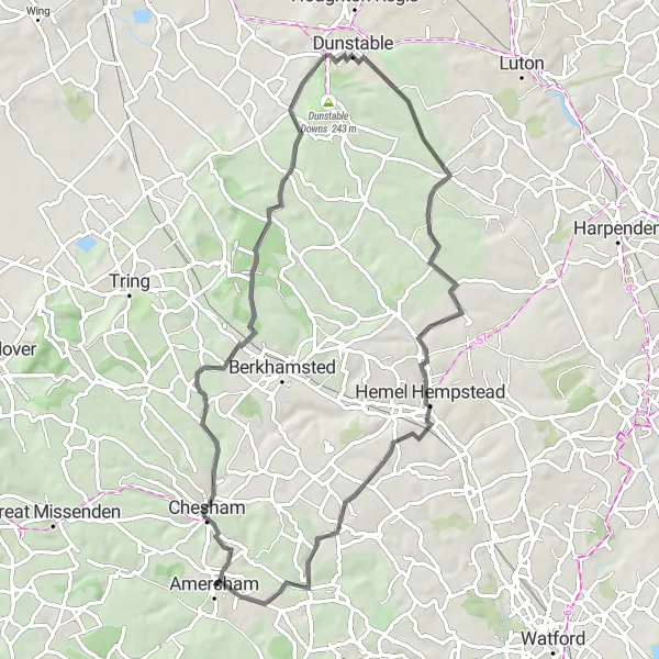
Set off on an adventure from Amersham to Latimer on this 70-kilometer gravel route. With an ascent of 797 meters, the route takes you through Hawridge, Ivinghoe Beacon, Edlesborough, Dunstable, Piccotts End, and Felden. Enjoy the off-road trails and immerse yourself in the stunning scenery. This moderate difficulty level route is perfect for gravel enthusiasts seeking historical sites and natural beauty.
Cycle from Amersham to Great Missenden and experience the beauty of the countryside
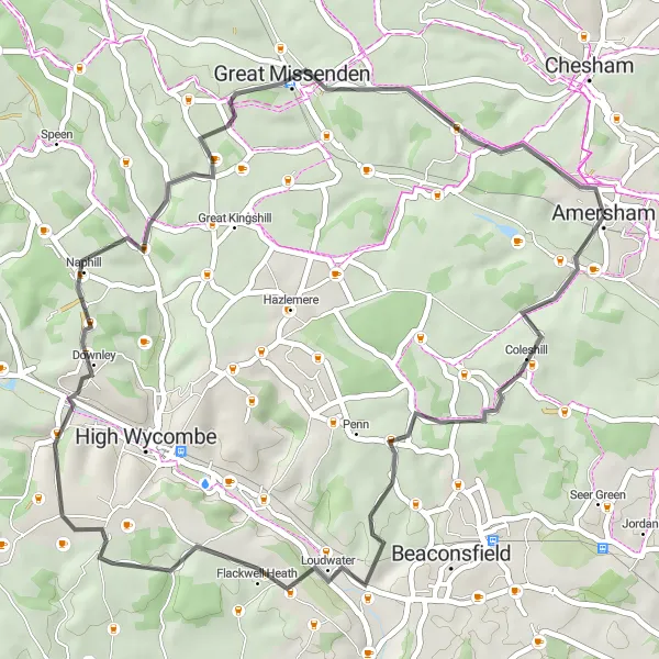
Embark on a cycling tour from Amersham to Great Missenden and discover the scenic beauty of the countryside. With a total ascent of 591 meters and a distance of 45 kilometers, this route is suitable for well-trained amateur cyclists looking for a moderately challenging ride. The route offers picturesque views and takes you through charming villages. It has a difficulty rating of 3 out of 5 and an epicness rating of 3 out of 5. Highlights along the route include Amersham, known for its historic buildings, Naphill, offering stunning countryside views, and Great Missenden, the beloved home of author Roald Dahl.
Kings Langley Loop
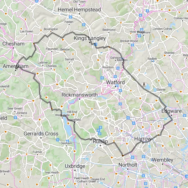
Discover the charming countryside of Kings Langley on this scenic cycling route
Experience the beauty of Kings Langley on this road cycling route. With a total ascent of 473 meters and a distance of 72 kilometers, it offers a moderately challenging ride for well-trained amateur cyclists. The route showcases the picturesque countryside and charming villages that this area is known for. The difficulty score for this route is rated 3 out of 5, while the epicness score is 3 out of 5. Highlights along the route include Kings Langley, a historic village with a rich heritage, and Little Chalfont, a quaint village with scenic surroundings.

Experience the beauty of Coombe Hill and Dunsmore on this challenging cycling route.
Embark on an exhilarating journey from Amersham to Hyde Heath. This route spans 78 kilometers with an ascent of 706 meters. Challenge yourself with the picturesque hills and scenic landscapes as you pass through Bledlow Ridge, Ford, Coombe Hill, and Dunsmore. This route is recommended for experienced cyclists seeking a thrilling adventure.
Cycling routes nearby:


Nearby regions: