Cycle through history in Bury St Edmunds.
Cycling routes from Bury St Edmunds
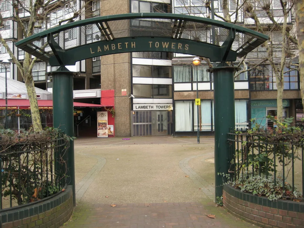
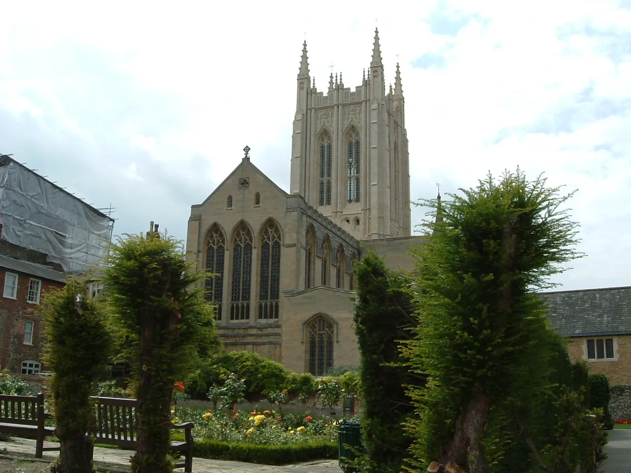
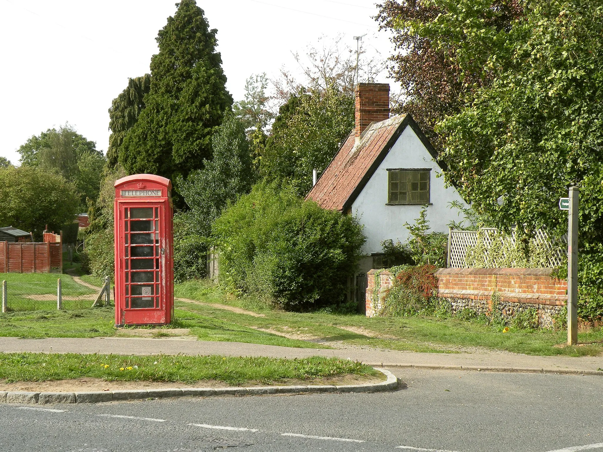
Bury St Edmunds in East Anglia, United Kingdom, is a cyclist-friendly locality that offers a variety of road and gravel cycling routes. The town provides a blend of picturesque countryside and historic sites, making it a remarkable destination for cyclists. Bury St Edmunds offers both challenging and leisurely routes, catering to different skill levels. Cyclists in Bury St Edmunds can explore nearby destinations such as Thetford Forest Park, which features well-known cycling trails suitable for all levels. Overall, Bury St Edmunds provides an enjoyable cycling experience amidst heritage sites and natural landscapes.

Discover the hidden gems of Risby and its surrounding area in this gravel cycling route.
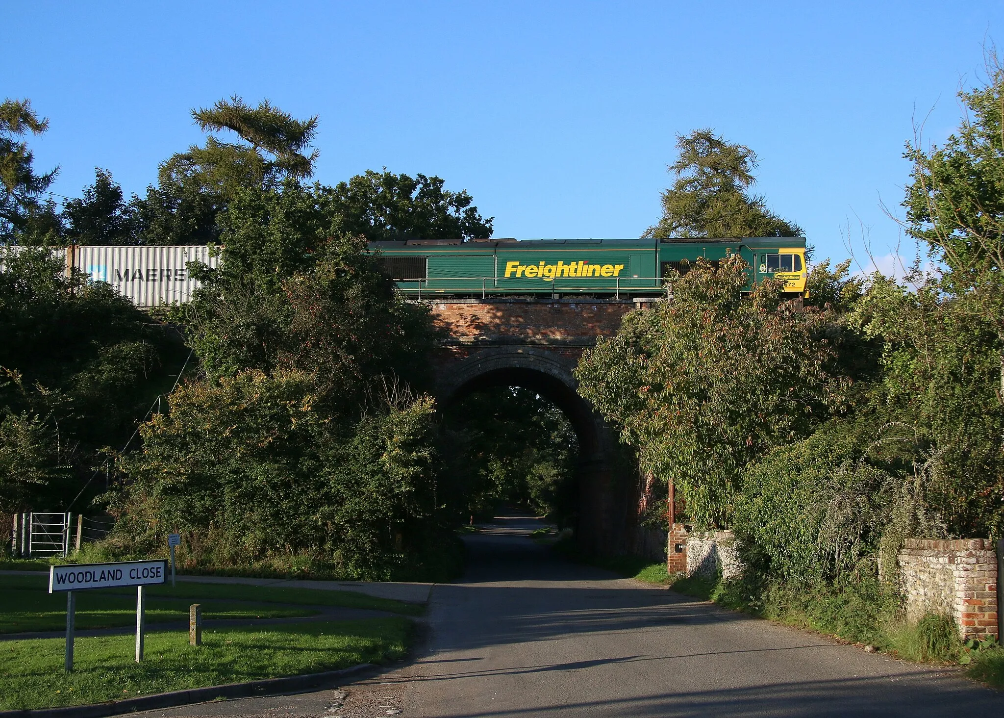
Embark on a scenic gravel adventure starting near Bury St Edmunds. This 73 kilometer route takes cyclists through picturesque countryside, charming villages, and offers breathtaking views along the way. Suitable for gravel bikes, it combines thrilling off-road sections with quieter country roads, providing a perfect blend of challenge and tranquility.
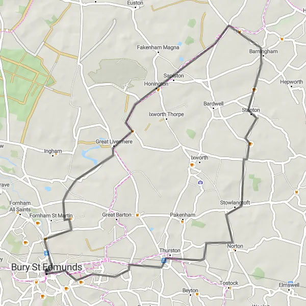
Discover the historic treasures of Bury St Edmunds and the picturesque village of Thurston on this scenic road route.
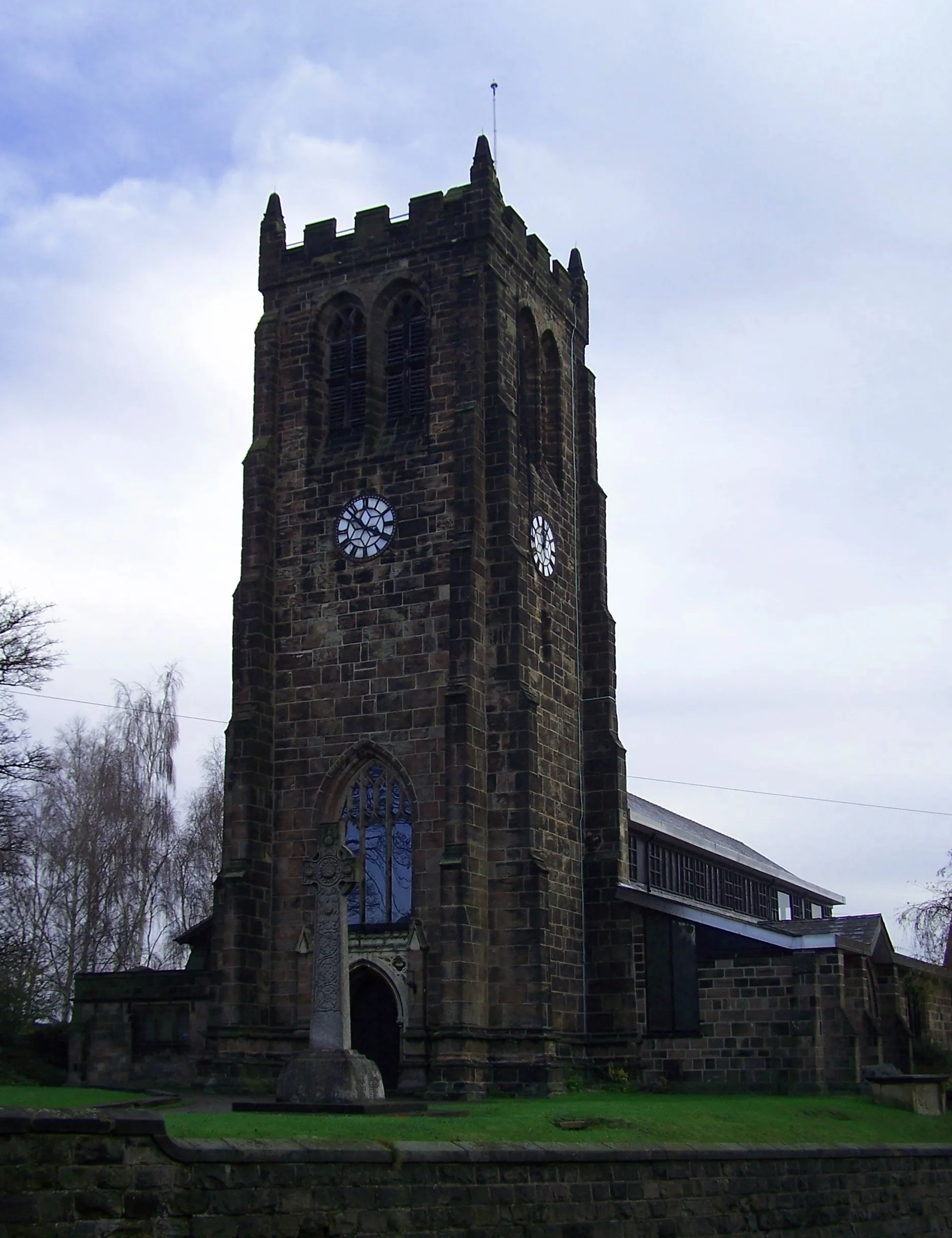
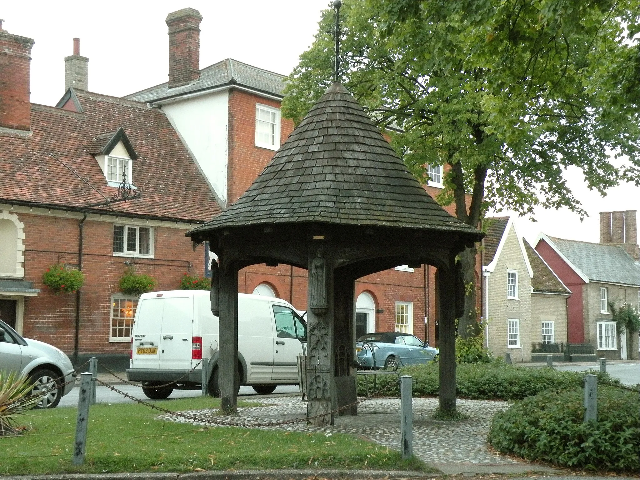
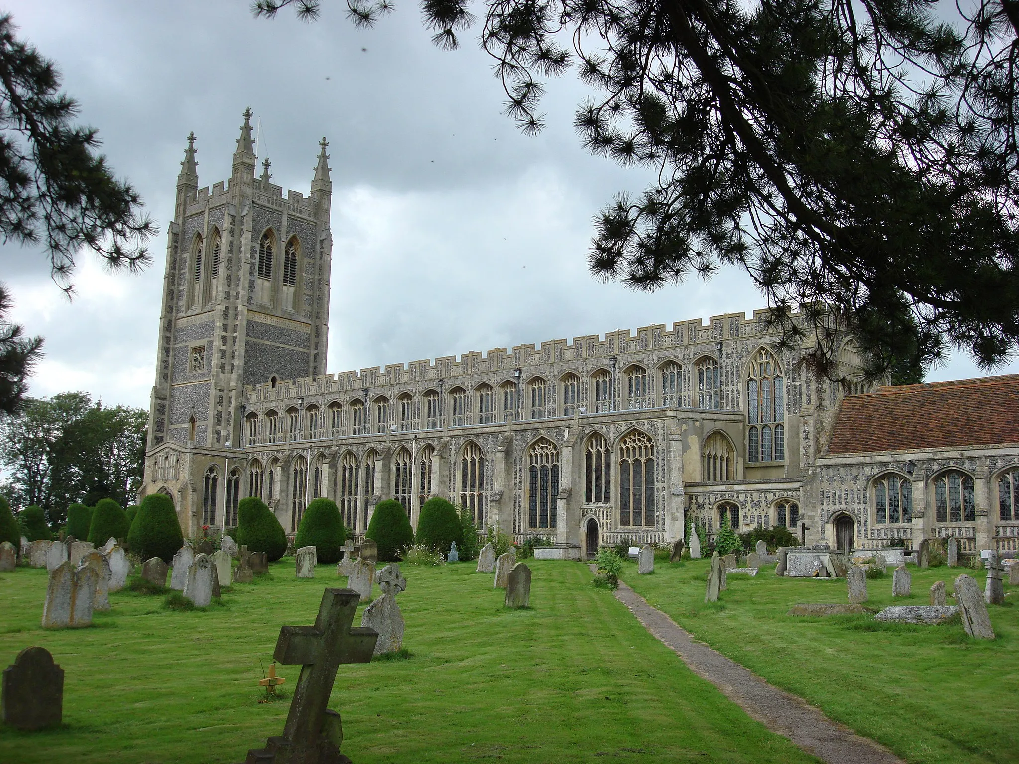
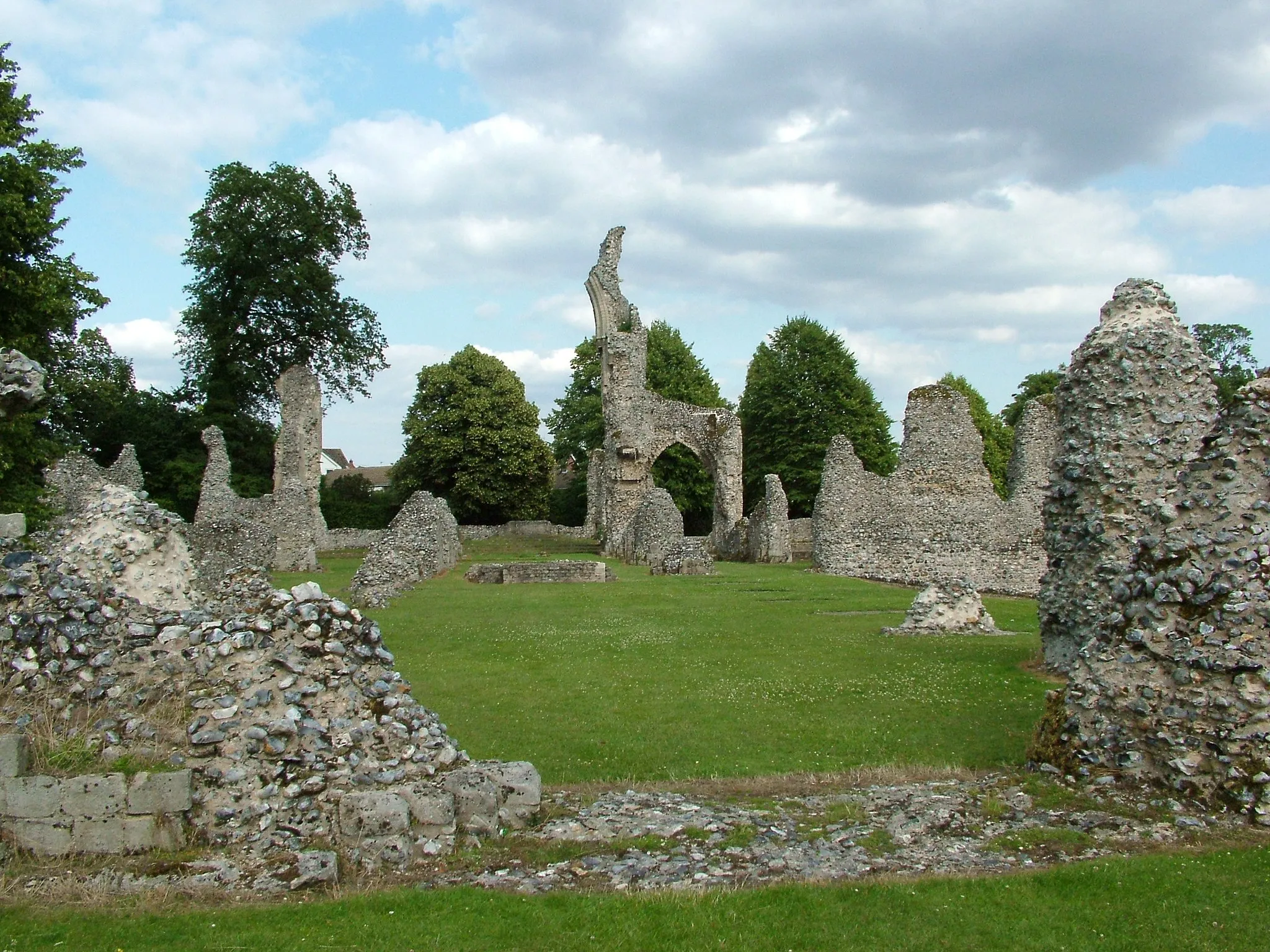
This 48-kilometer road cycling route leads you from Bury St Edmunds to Thurston, passing through idyllic Suffolk countryside. With a moderate ascent of 221 meters, it is suitable for well-trained amateur cyclists. Along the way, you'll have the opportunity to explore Bury St Edmunds, with its rich history and stunning abbey ruins. As you continue, you'll discover the charming village of Thurston, known for its quaint houses and welcoming community. The route offers a combination of peaceful rural landscapes, historic sites, and warm hospitality.
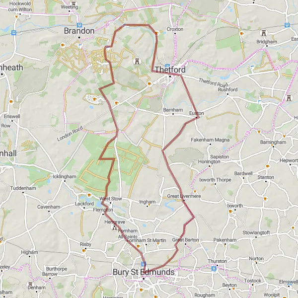
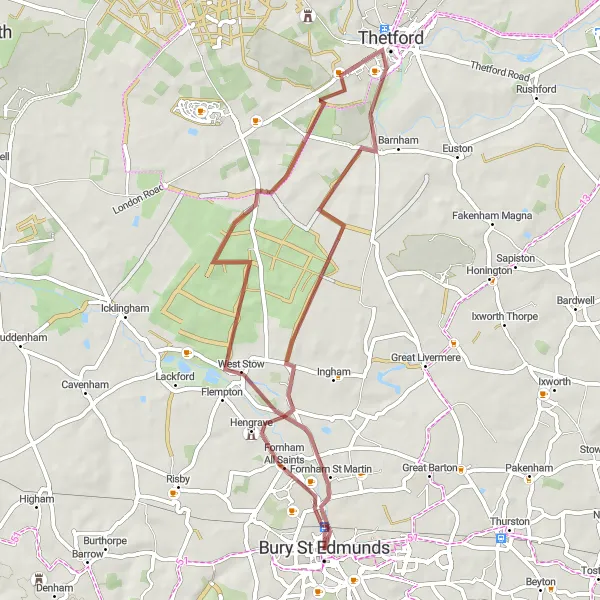
Embark on a gravel excursion through Thetford and visit the iconic Bury St Edmunds Abbey.
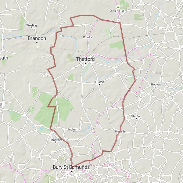
Embark on a delightful gravel cycling journey through scenic landscapes and picturesque villages. Explore Fornham All Saints, Thetford, Great Livermere, and Bury St Edmunds, as you conquer a total ascent of 308 meters over a distance of 65 kilometers. This gravel excursion is suitable for intermediate cyclists looking for a moderately challenging and rewarding ride.

Embark on an epic road cycling adventure to the iconic Saffron Walden and Duxford.
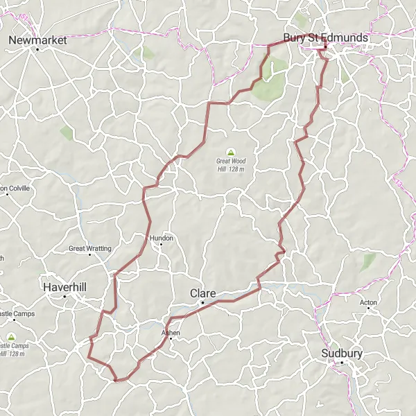
Prepare yourself for an epic road cycling adventure filled with scenic landscapes, picturesque villages, and legendary spots. This route takes you through Hawkedon, Hundon Hill, Haverhill, Saffron Walden, Duxford, Clarke's Hill, Burwell, Cavenham, and ends in Bury St Edmunds. With a total ascent of 697 meters over a distance of 129 kilometers, this challenging route is designed for experienced cyclists seeking an unforgettable journey.
Bury St Edmunds to Ely Loop
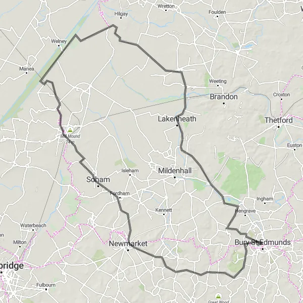
Cycle through charming villages and historic sites on this road route from Bury St Edmunds to Ely.
This 130-kilometer road cycling route takes you from Bury St Edmunds to Ely, passing through picturesque villages and showcasing the rich history of the area. With a moderate ascent of 492 meters, it is suitable for well-trained amateur cyclists. The route offers a combination of scenic countryside, quaint towns, and iconic landmarks. Highlights along the route include the Suspension Bridge in Ely, an impressive feat of engineering, and Lakenheath, known for its nature reserve and diverse wildlife.
Bury St Edmunds Gravel Ride
Embark on a gravel adventure and explore the beautiful countryside surrounding Bury St Edmunds on this scenic route.
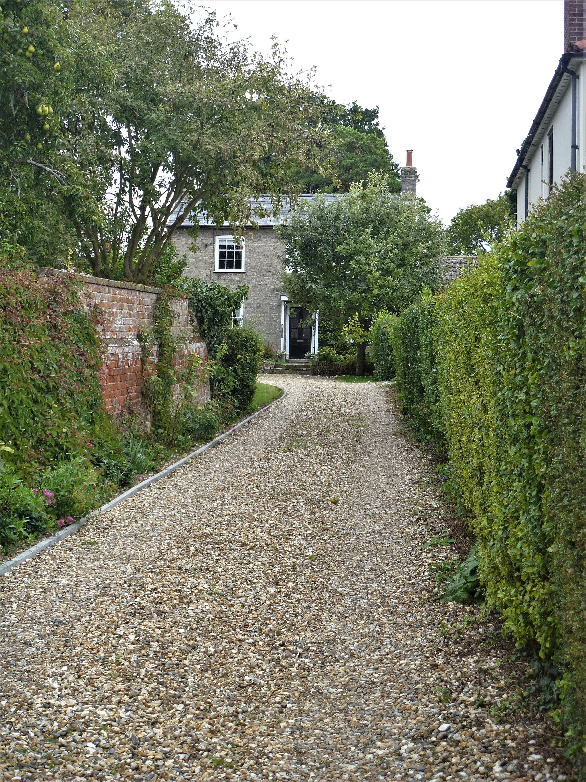
This 79-kilometer gravel cycling route offers a thrilling adventure through the scenic countryside surrounding Bury St Edmunds. With a demanding ascent of 519 meters, it is suitable for experienced gravel riders seeking a challenging ride. The route takes you through picturesque villages, such as Hartest and Ridgewell, showcasing the bucolic beauty of the region. Farley Green, an enchanting hamlet, provides a peaceful place to rest and take in the surroundings. As you return to Bury St Edmunds, you'll have the opportunity to admire the historic architecture and stunning abbey ruins. This route offers a mix of natural beauty and historic landmarks, providing a memorable gravel riding experience.
Bury St Edmunds to Haughley Loop
Cycle through the picturesque countryside, charming villages, and historic landmarks on this road route from Bury St Edmunds to Haughley.
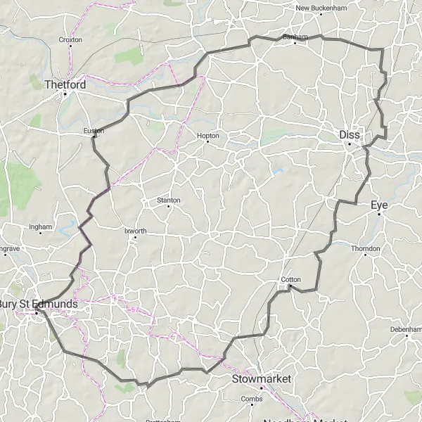
Embark on a 113-kilometer road cycling adventure from Bury St Edmunds to Haughley, exploring the bucolic beauty of Suffolk. With a moderate ascent of 403 meters, this route is suitable for well-trained amateur cyclists seeking a scenic journey. Along the way, you'll encounter beautiful landscapes, such as the rolling fields of Honington and the tranquil village of Quidenham. Scole offers a delightful stop with its picturesque market square and scenic beauty. Haughley, the final destination, welcomes you with its impressive castle and historic charm. This route is a delight for history enthusiasts and nature lovers alike.
Embark on a thrilling road cycling adventure to the scenic villages of Finchingfield and Haverhill.
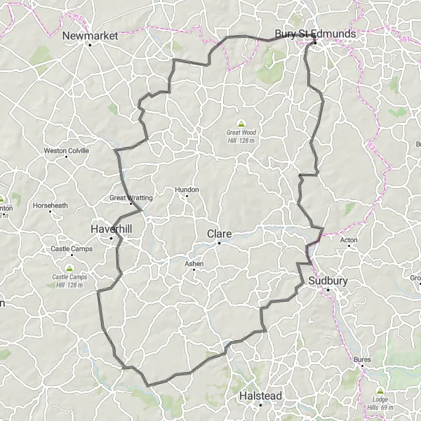
Gear up for an exhilarating road cycling adventure through East Anglia's picturesque countryside. Journey through Shimpling, Gestingthorpe, Finchingfield, Haverhill, Kirtling, and finally, Bury St Edmunds. With a total ascent of 705 meters over a distance of 110 kilometers, this route is perfect for seasoned cyclists seeking a challenging and scenic road cycling experience.
Explore the scenic countryside of West Stow and Santon Downham on this exciting gravel adventure.
Embark on a thrilling gravel cycling journey through beautiful landscapes filled with rolling hills and serene nature. This route takes you through the charming villages of West Stow, Santon Downham, Stonebridge, Ixworth, and Bury St Edmunds. Experience the thrill of off-road cycling as you conquer a total ascent of 388 meters over a distance of 79 kilometers. This gravel adventure is perfect for experienced cyclists seeking a challenging and scenic ride.
Embark on a scenic gravel ride to the charming villages of Fornham St Martin and Thetford.
Indulge in the beauty of East Anglia's countryside as you embark on this scenic gravel ride, taking you to Fornham St Martin, Flempton, Thetford, and Fornham All Saints. This route offers a total ascent of 248 meters over 49 kilometers, making it perfect for intermediate cyclists seeking a moderate challenge. Immerse yourself in the peaceful surroundings and discover hidden gems along the way.
Cycling routes nearby:


Nearby regions: