Exploring the tranquil countryside of Ixworth on a bike
Cycling routes from Ixworth
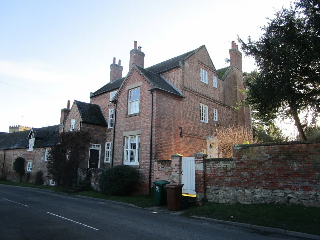
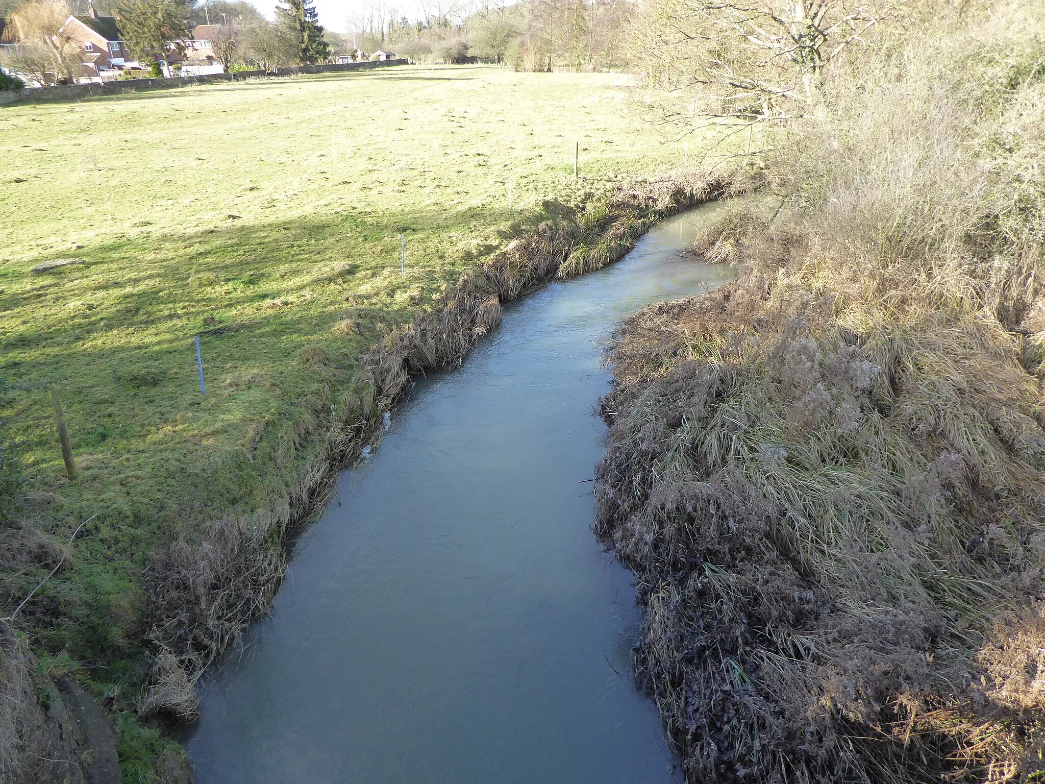
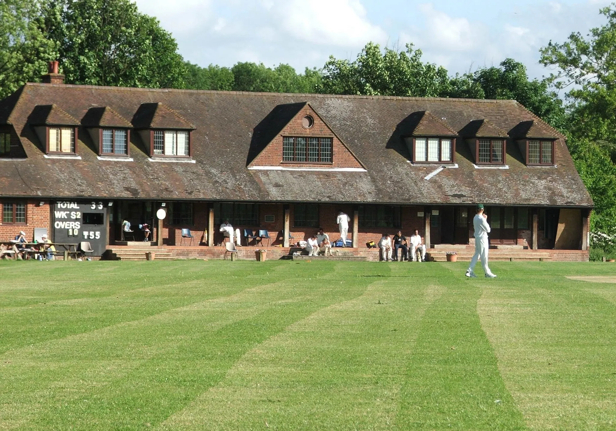
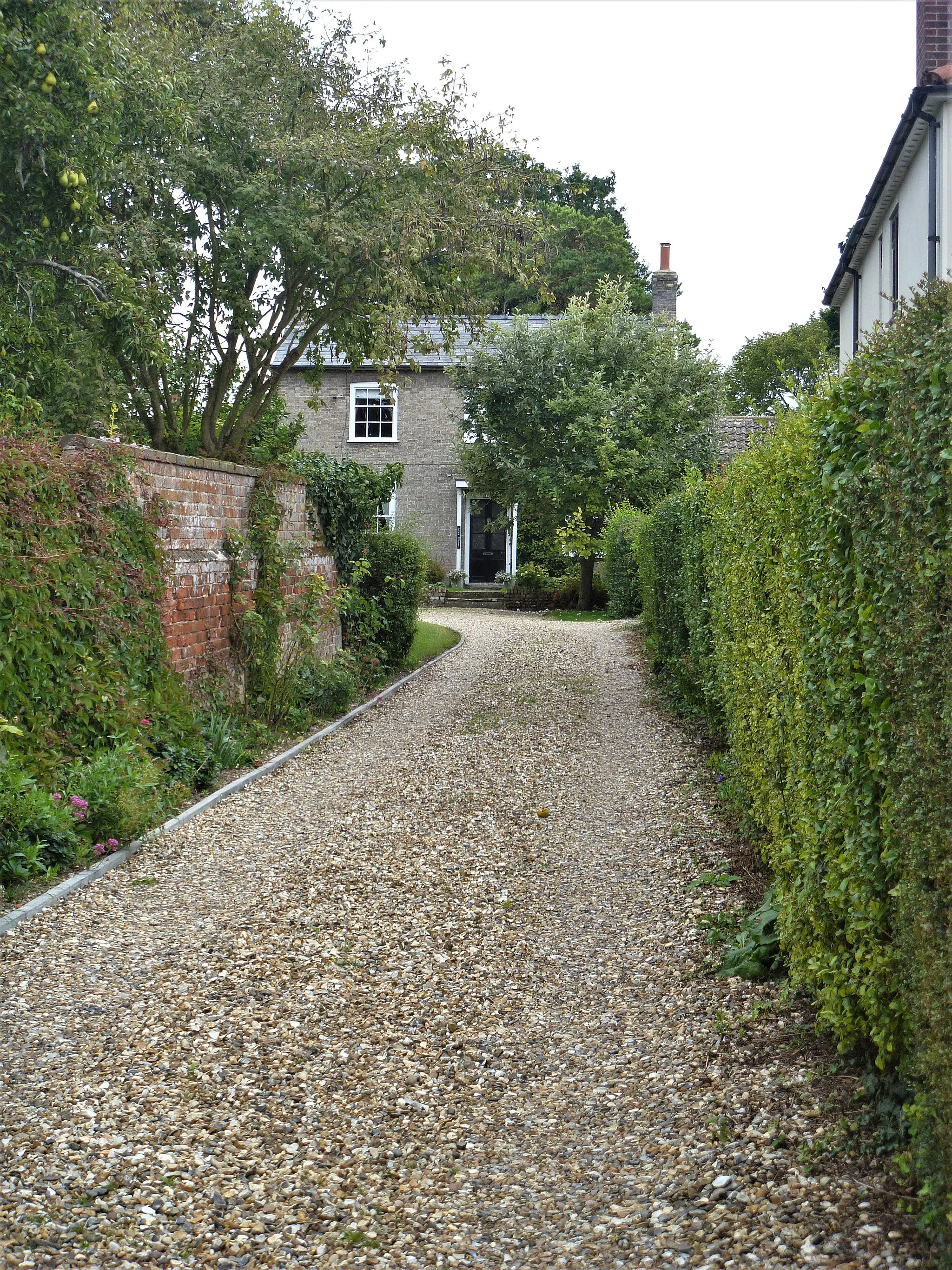
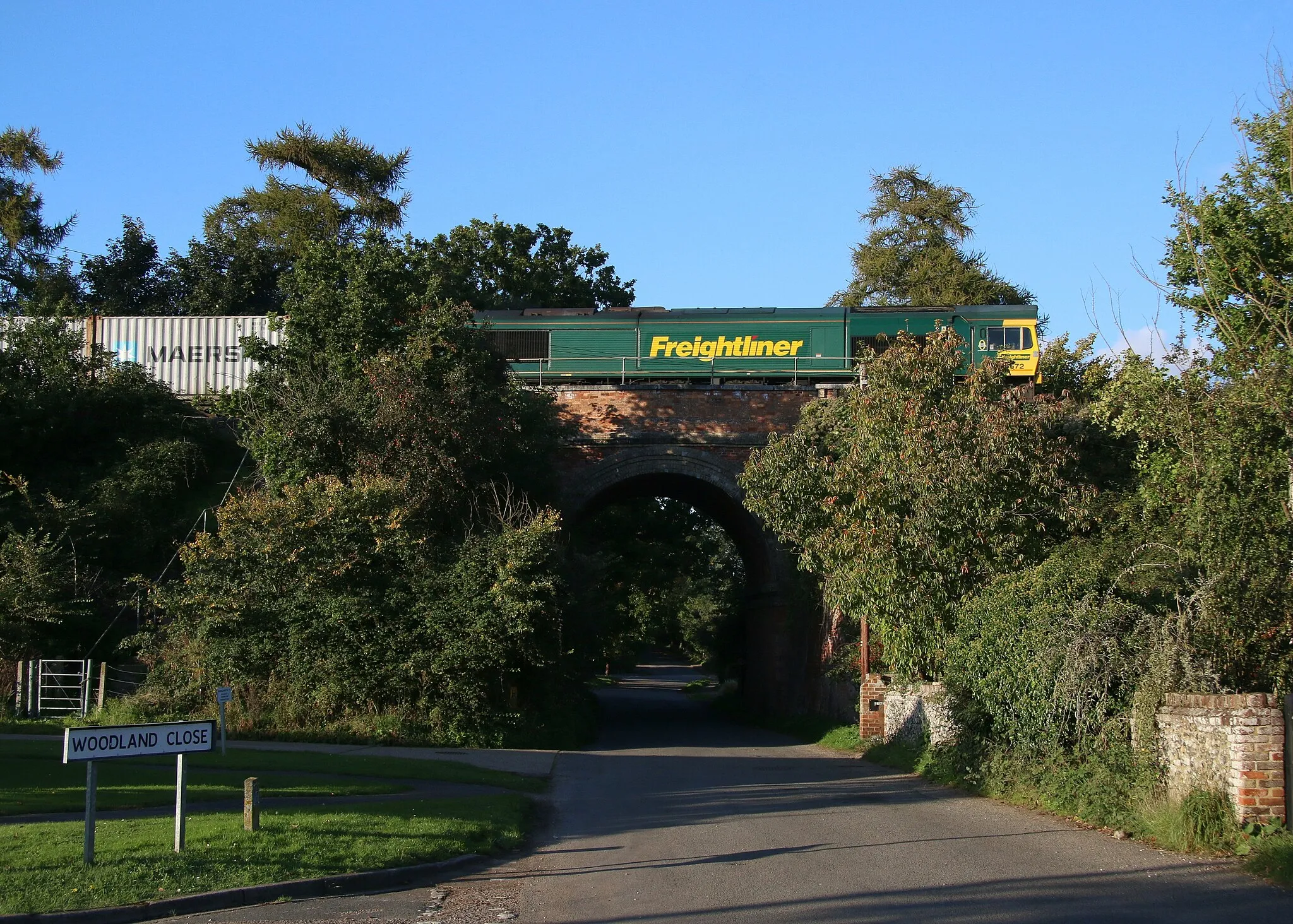
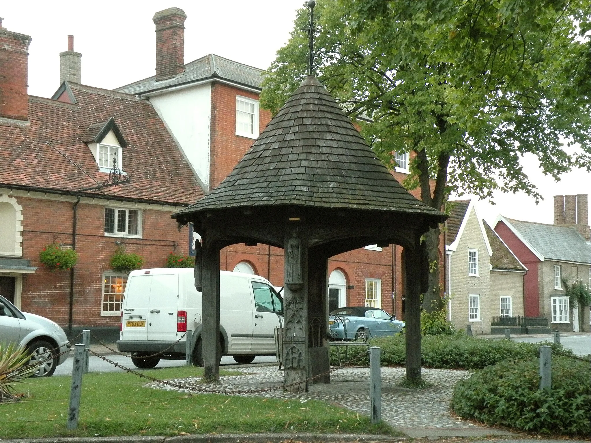
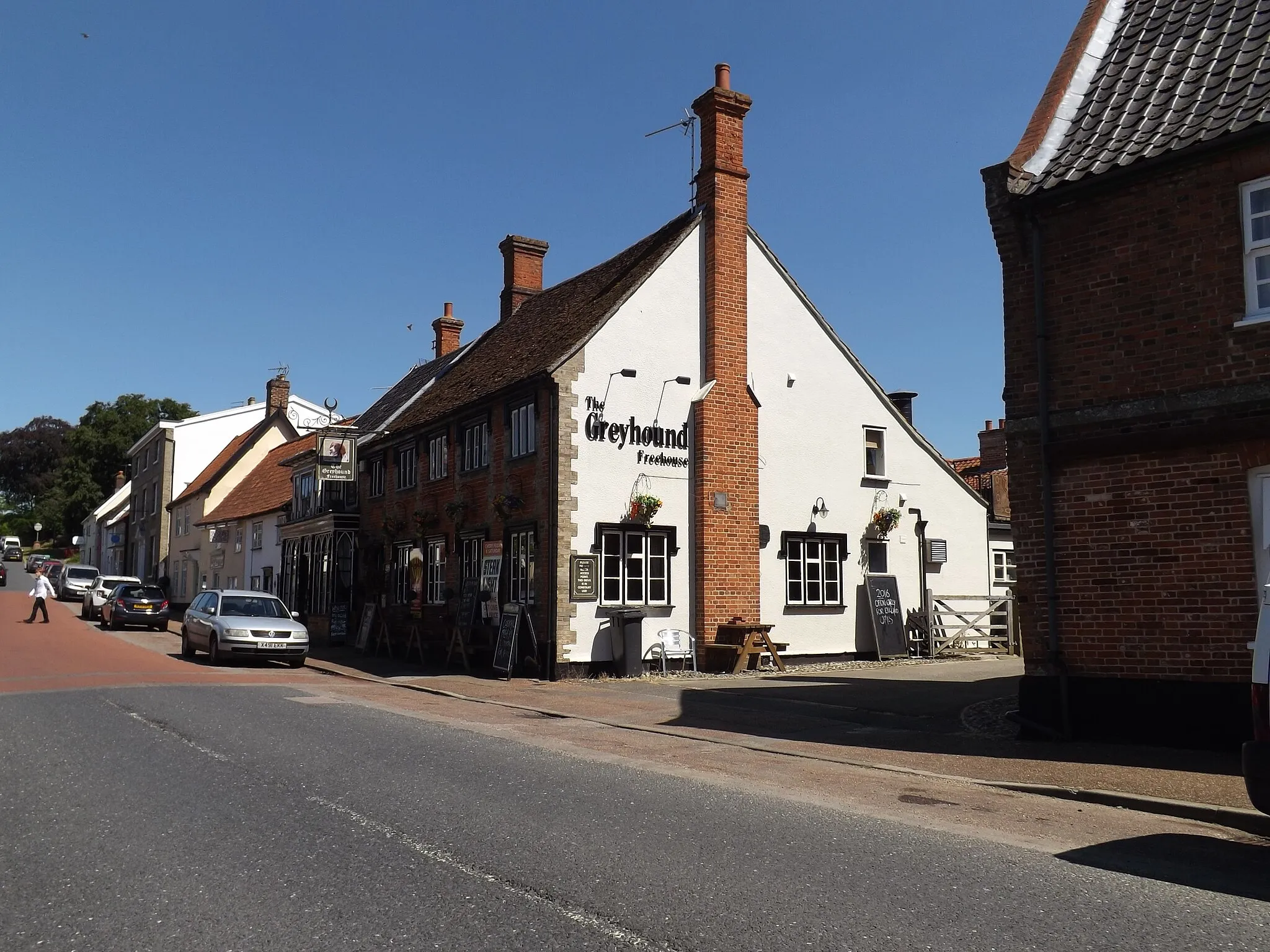
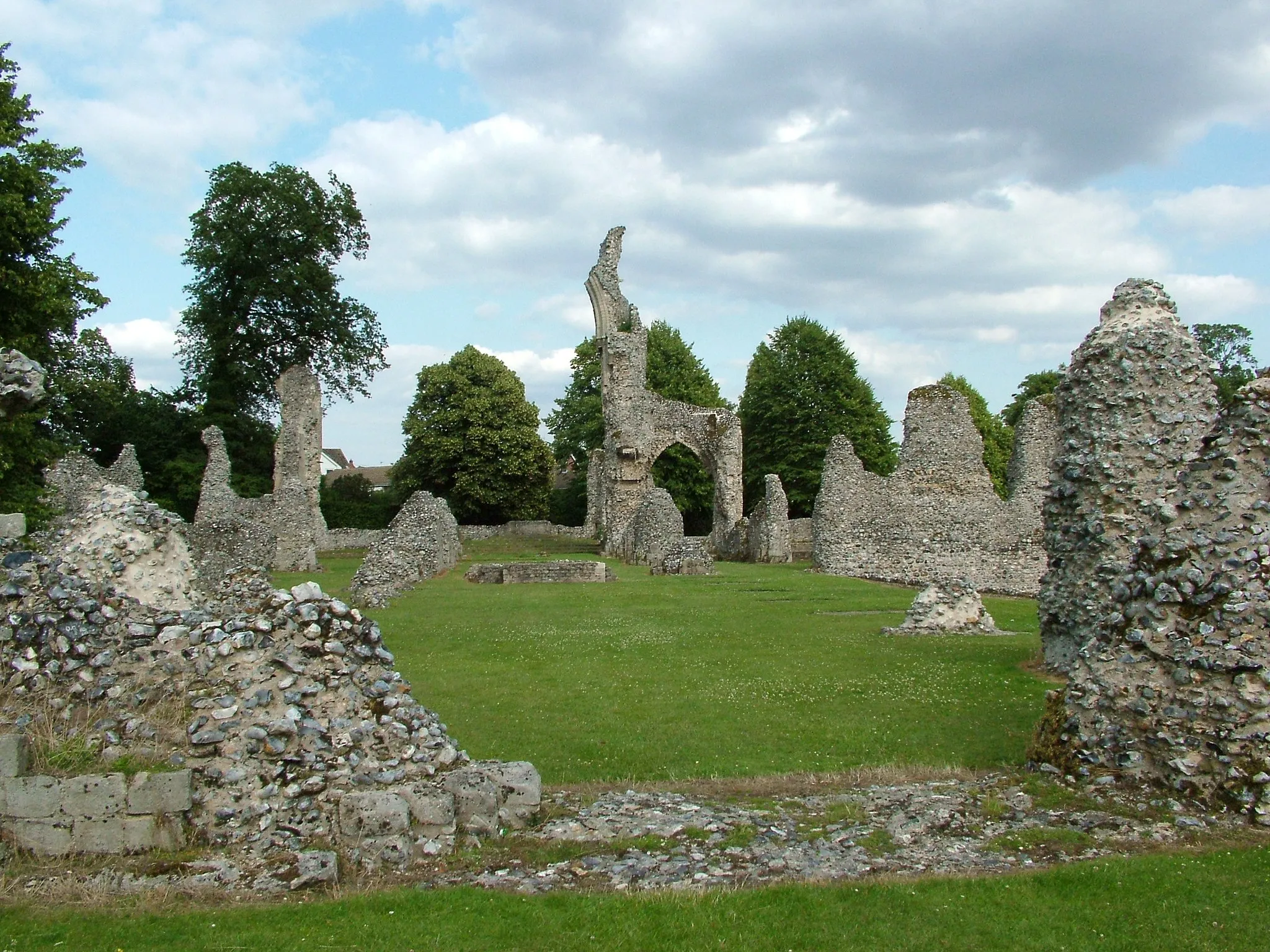
Ixworth is a small locality located in East Anglia, United Kingdom. As a road and gravel cyclist, you can enjoy mainly flat terrain with a few gentle hills around this area. The countryside surrounding Ixworth offers quiet country lanes and picturesque villages, making it an ideal location for leisurely cycling. While there are no famous cycling spots or well-known climbs directly in Ixworth, the nearby scenic routes in Suffolk provide pleasant cycling experiences. Cycling in Ixworth allows you to soak in the peaceful atmosphere of the English countryside.
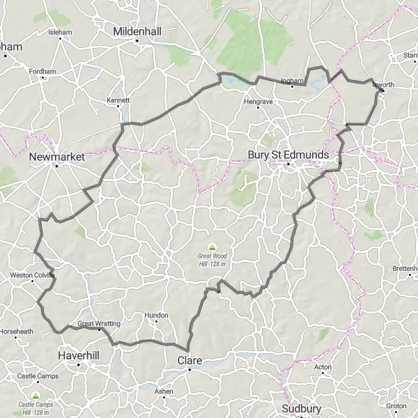
Cycle through unspoiled countryside to Great Ellingham
Immerse yourself in the rural beauty of East Anglia with this round-trip cycling route from Ixworth to Great Ellingham. With an ascent of 463m and a distance of 122km, this road route offers a challenging adventure for well-trained amateurs. The highlight of the route is Great Ellingham, a charming village known for its historic buildings and peaceful atmosphere.

Embark on a thrilling gravel adventure through the picturesque Suffolk countryside.
This gravel route takes you through the stunning Suffolk countryside, offering breathtaking views and challenging terrain. With a total distance of 91 kilometers and an elevation gain of 489 meters, the route is suitable for experienced gravel riders. Highlights along the way include Badwell Ash, Flowton, Hadleigh, Felsham, and Ixworth. These spots offer a mix of natural beauty and historic landmarks. Overall, this route provides an epic cycling experience for those seeking a gravel adventure.
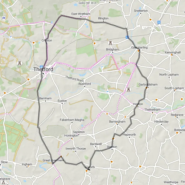
The Gravel Hills Adventure
Experience the stunning hills and gorgeous countryside of East Anglia on this gravel route.
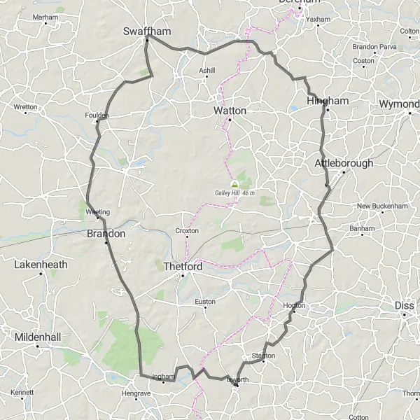
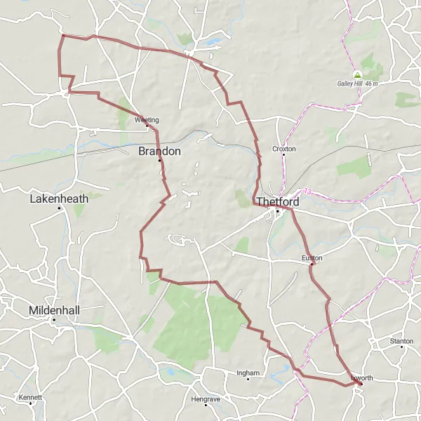
This gravel route is a great adventure for cyclists looking to experience the beauty of East Anglia. With a total distance of 87 kilometers and an elevation gain of 378 meters, the route offers challenging climbs and scenic descents. The highlights along the route include Great Livermere, Brandon, Mundford, Fakenham Magna, and Ixworth. These spots provide picturesque views and interesting history. Overall, this route is suitable for well-trained amateurs and offers a moderate level of difficulty.
Embark on a scenic biking adventure to Gedding
Experience the natural beauty of East Anglia with this round-trip cycling route from Ixworth to Gedding. With an ascent of 397m and a distance of 89km, this road route offers a moderate challenge for well-trained amateurs. The highlight of the route is Gedding, a peaceful village known for its beautiful countryside and charming atmosphere.
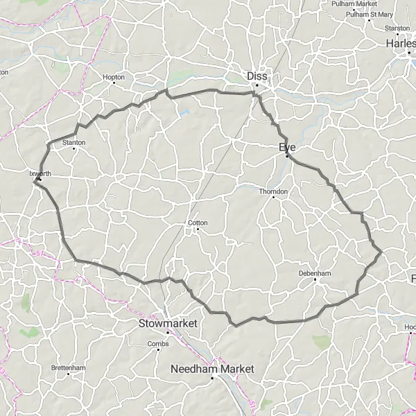
The Gravel Tracks of Suffolk
Embark on a thrilling gravel adventure through the scenic tracks of Suffolk.
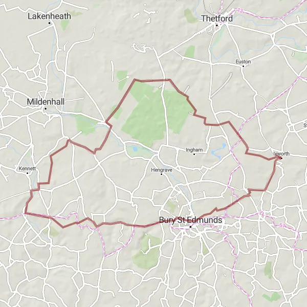
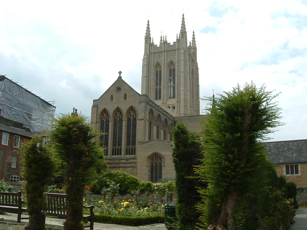
This gravel route takes you on a thrilling adventure through the picturesque Suffolk countryside. With a total distance of 70 kilometers and an elevation gain of 327 meters, the route offers a mix of gravel tracks and quiet roads. Highlights along the way include Bury St Edmunds, Gazeley, Tuddenham, and Ixworth. These spots provide scenic views and interesting landmarks. Overall, this route is suitable for gravel enthusiasts and offers a moderate level of difficulty.
Scenic Road Tour of East Anglia
Discover the scenic beauty of East Anglia on this road cycling tour.
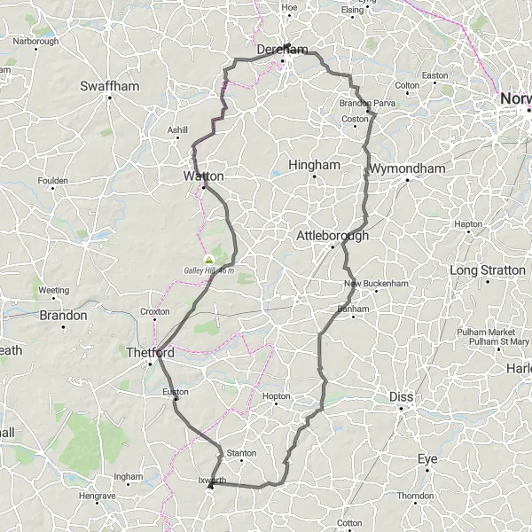
This road route takes you on a scenic journey through the beautiful countryside of East Anglia. With a total distance of 124 kilometers and an elevation gain of 440 meters, the route offers a mix of flat roads and gentle climbs. Highlights along the way include Fakenham Magna, Ringmere Lookout, Stonebridge, Watton, Scarning, Morley St Botolph, South Lopham, and Ixworth. These spots provide stunning views and interesting attractions. Overall, this route is suitable for experienced road cyclists and offers a medium level of difficulty.
Embark on a cycling adventure to West Stow
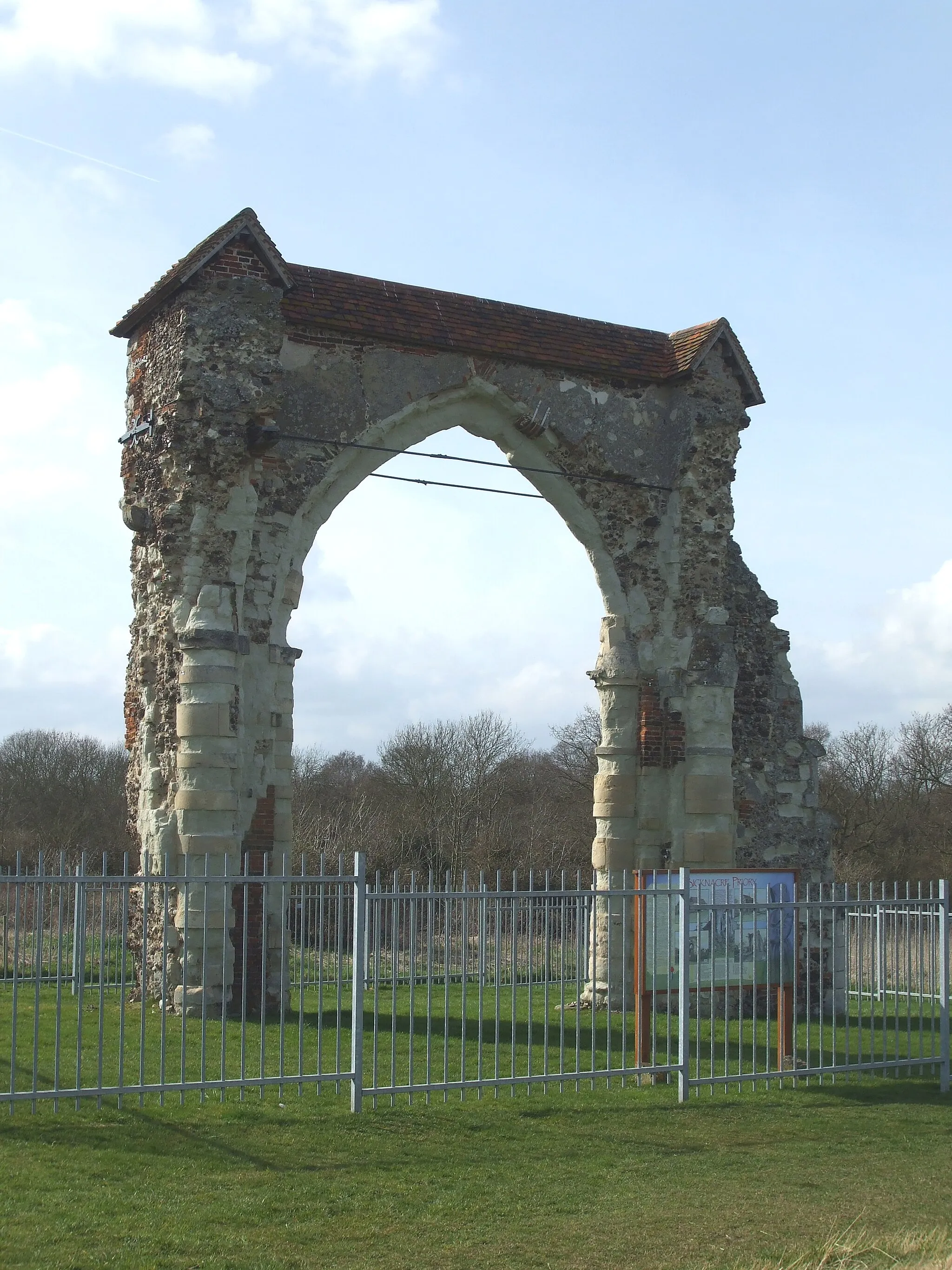
Experience the beauty of the East Anglia countryside with this round-trip cycling route from Ixworth to West Stow. With an ascent of 690m and a distance of 112km, this road route provides a challenging yet rewarding journey for well-trained amateurs. The highlight of the route is West Stow, an ancient Anglo-Saxon village that offers a glimpse into the region's rich history.
Take a scenic road tour through the beautiful countryside of West Suffolk.
This road route offers a picturesque journey through the stunning countryside of West Suffolk. With a total distance of 61 kilometers and an elevation gain of 237 meters, the route is suitable for all levels of cyclists. Highlights along the way include Great Livermere, Thetford, Illington, East Harling, Market Weston, and Ixworth. These spots offer beautiful landscapes and interesting landmarks. Overall, this route is great for leisurely rides and provides stunning views of the Suffolk countryside.
Ixworth to Wattisfield and Back
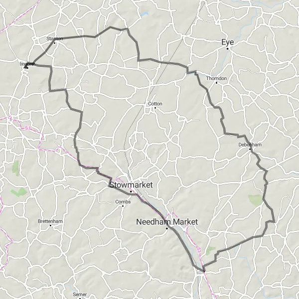
Explore the scenic route from Ixworth to Wattisfield
This round-trip cycling route starting near Ixworth takes you through picturesque countryside, charming villages, and rolling hills. With an ascent of 377m and a distance of 92km, this road route offers a moderate challenge for well-trained amateur cyclists. The highlight of the route is Wattisfield, a quaint village known for its historic charm and beautiful surroundings.
Discover the beauty of Haughley with this round-trip cycling route
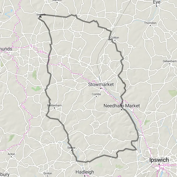
Experience the charming countryside of East Anglia with this round-trip cycling route from Ixworth to Haughley. With an ascent of 387m and a distance of 85km, this road route provides a moderate challenge for well-trained amateurs. The highlight of the route is Haughley, a picturesque village steeped in history and surrounded by beautiful landscapes.
Cycling routes nearby:


Nearby regions: