Cambridge County Challenge
A road cycling route starting from Needingworth
Embark on a challenging ride through Cambridgeshire County.
Map
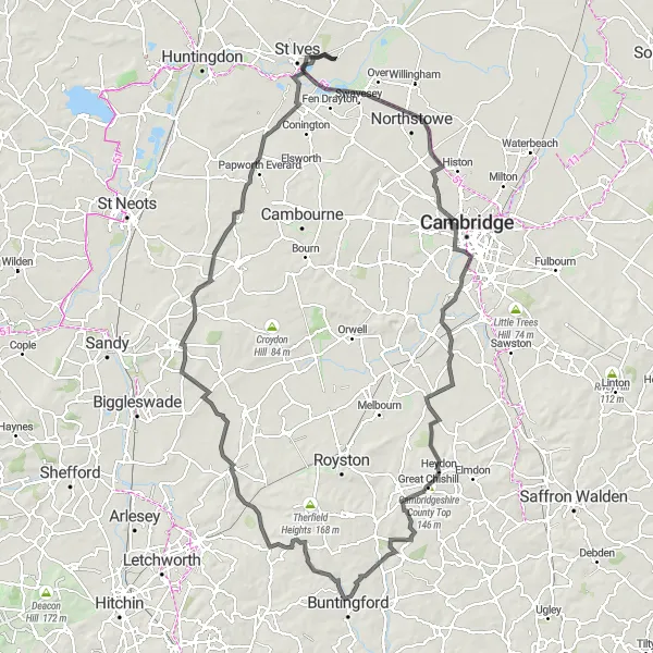
The Cambridge County Challenge is a demanding road cycling route that takes you through the scenic countryside of Cambridgeshire. Starting near Needingworth, this 125 km route features a total ascent of 488 meters. With its varied terrain and stunning landscapes, this route is well-suited for experienced riders looking for a challenging adventure.
road
125 km
488 m
Tough
Route profile
Highlights on the route
0 km
0 km
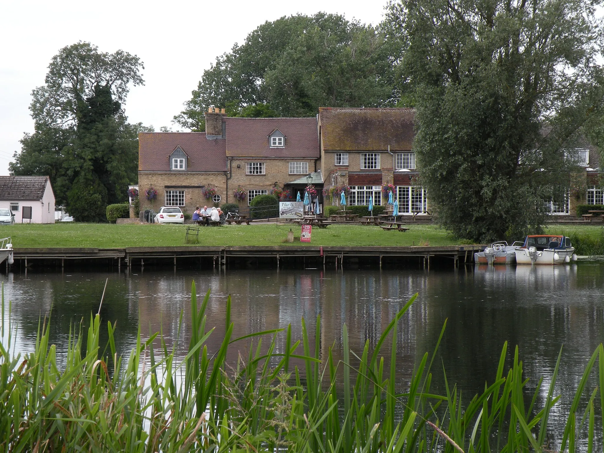
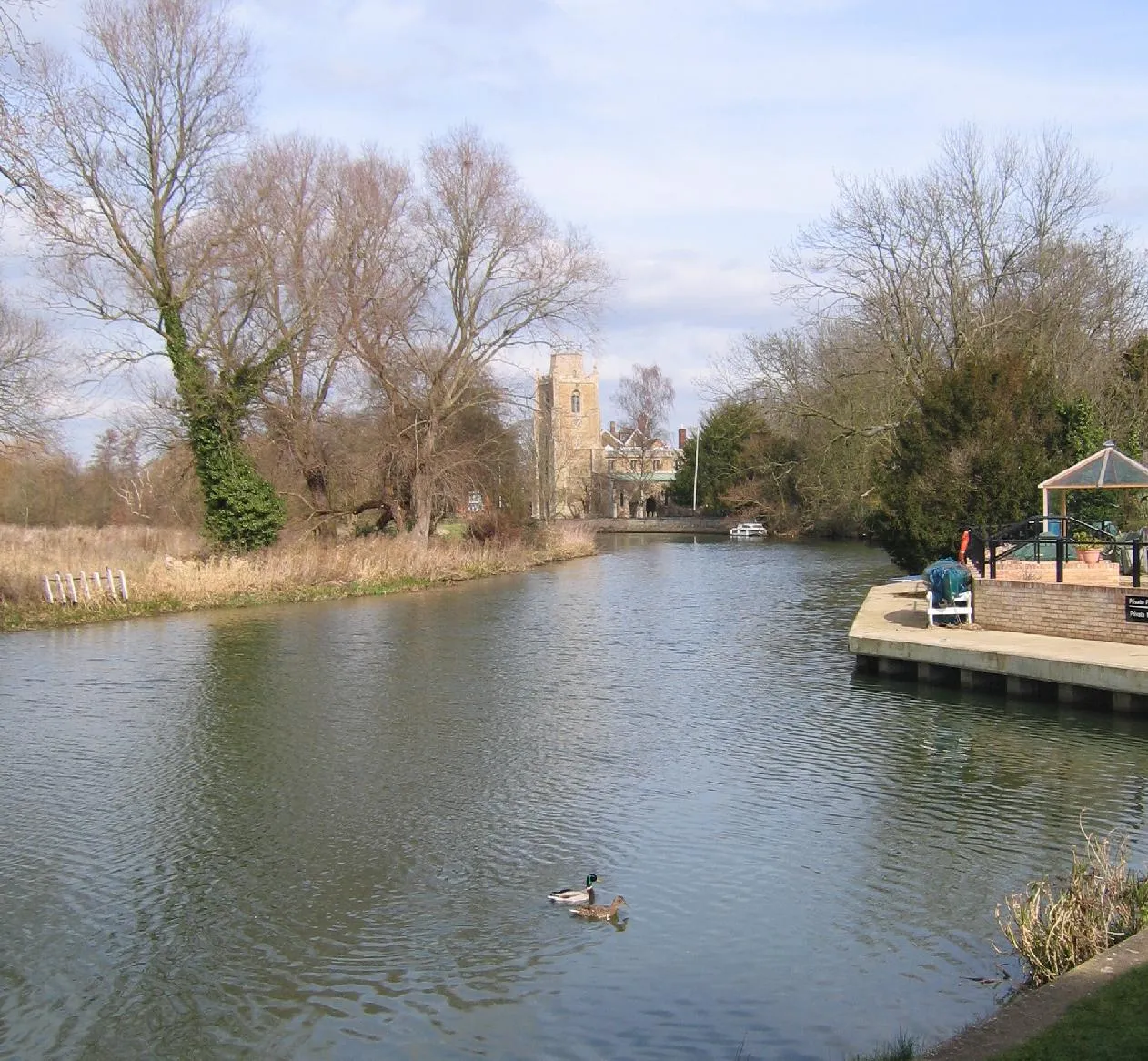
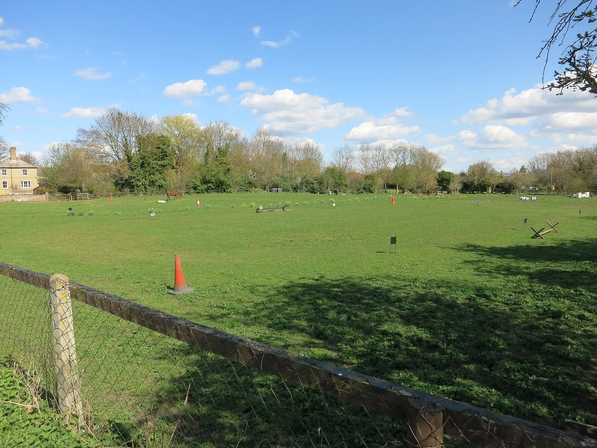
Start: Needingworth Village centerNeedingworth: Tranquil cycling experience amidst picturesque landscapes.
Needingworth is a small town located in East Anglia, United Kingdom. From a cyclist's perspective, Needingworth offers a variety of cycling routes through tranquil and picturesque landscapes. The locality is surrounded by charming villages and rural areas that provide a relaxed environment for cycling enthusiasts. While there might not be any famous cycling-related spots or specific climbs nearby, Needingworth's scenery and peaceful atmosphere make it an appealing destination for road and gravel cyclists.6 km
6 km
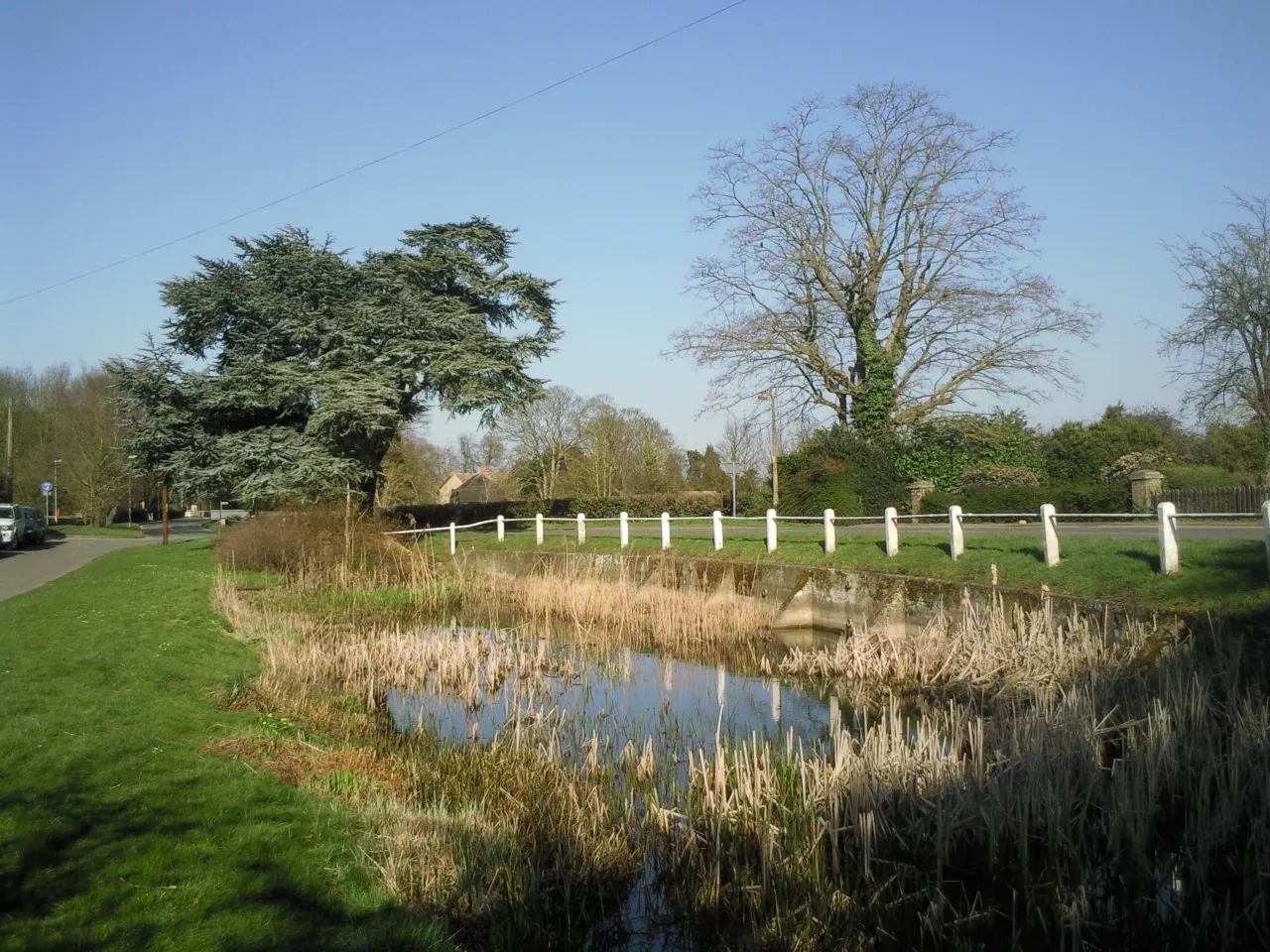
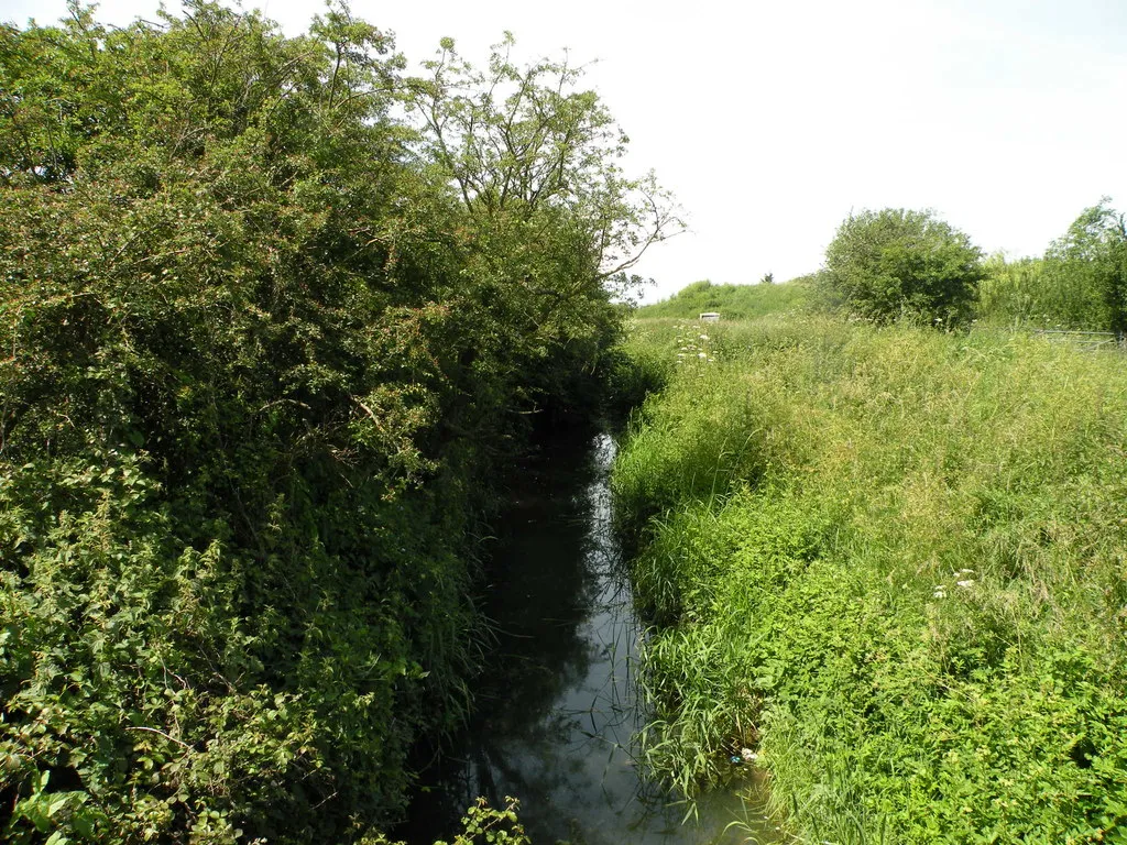
Bird lookoutViewpointEnjoy panoramic views from the bird lookout point along the route.
16 km
16 km
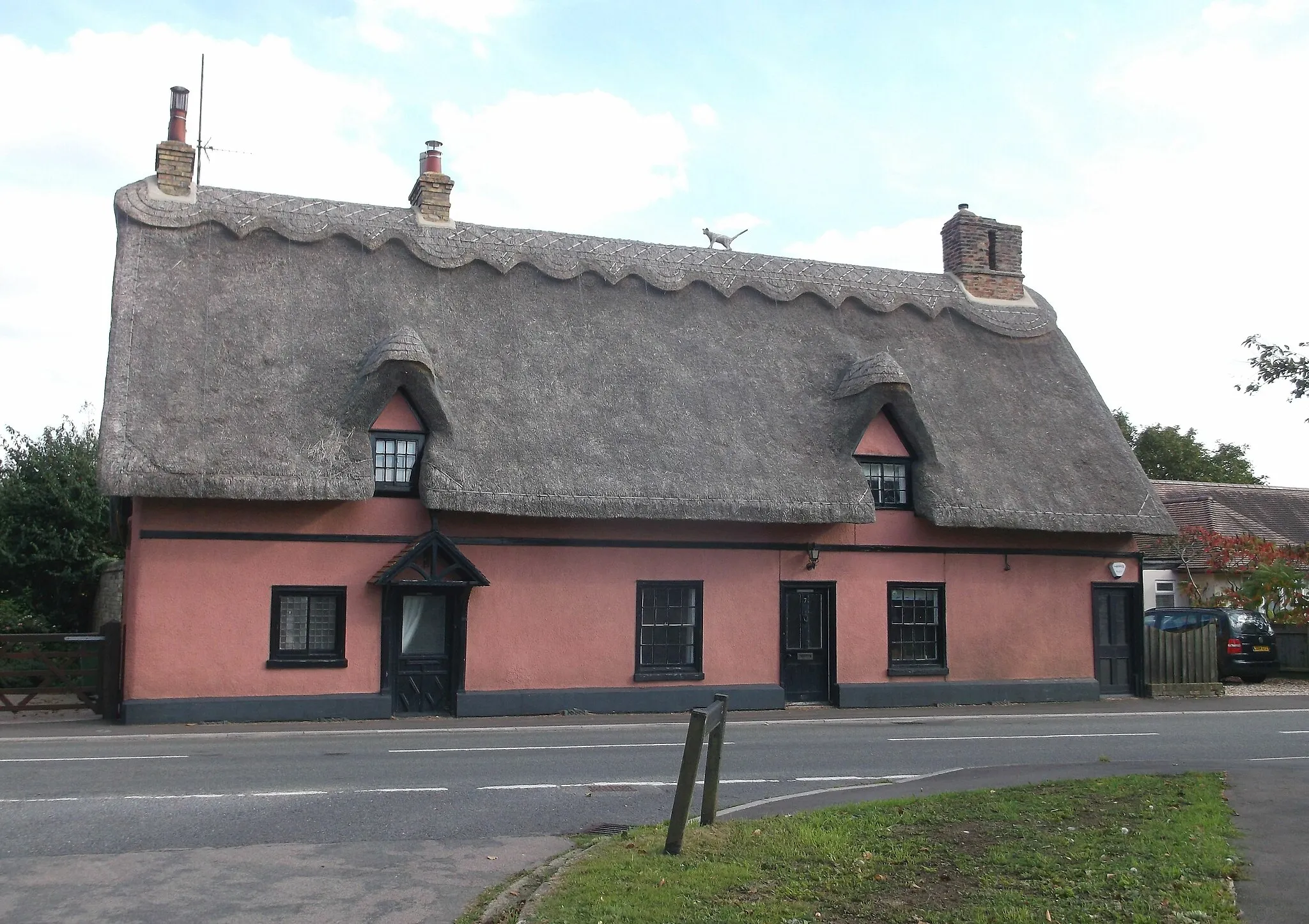
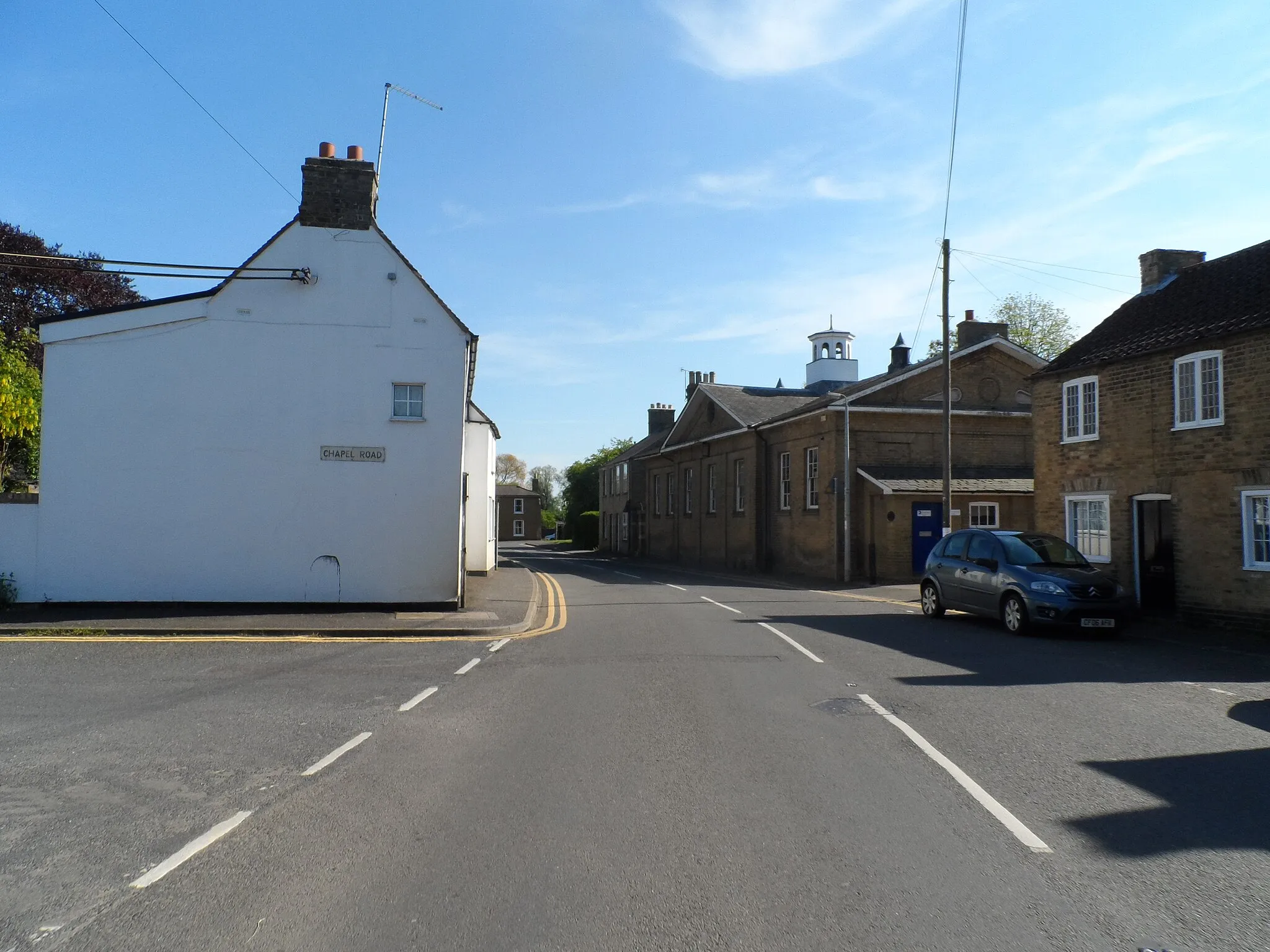
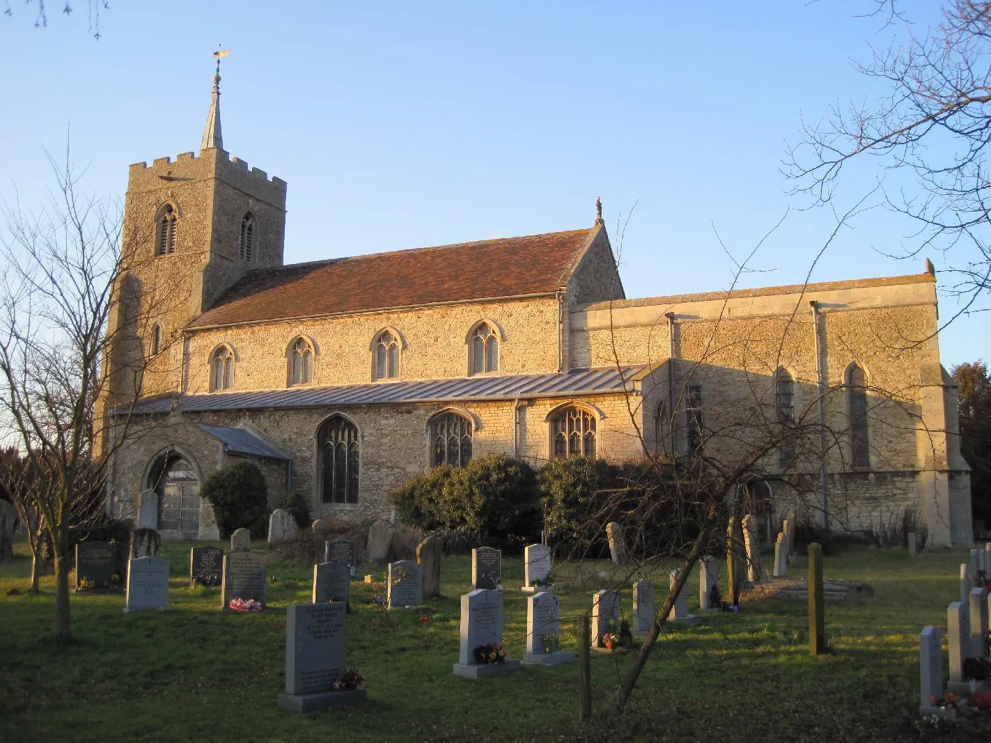
OakingtonVillageStop by Oakington and explore the tranquil village known for its beautiful church and scenic landscapes.
25 km
25 km
Kitchen BridgeViewpointCross the Kitchen Bridge and take a moment to appreciate the picturesque surroundings.
33 km
33 km
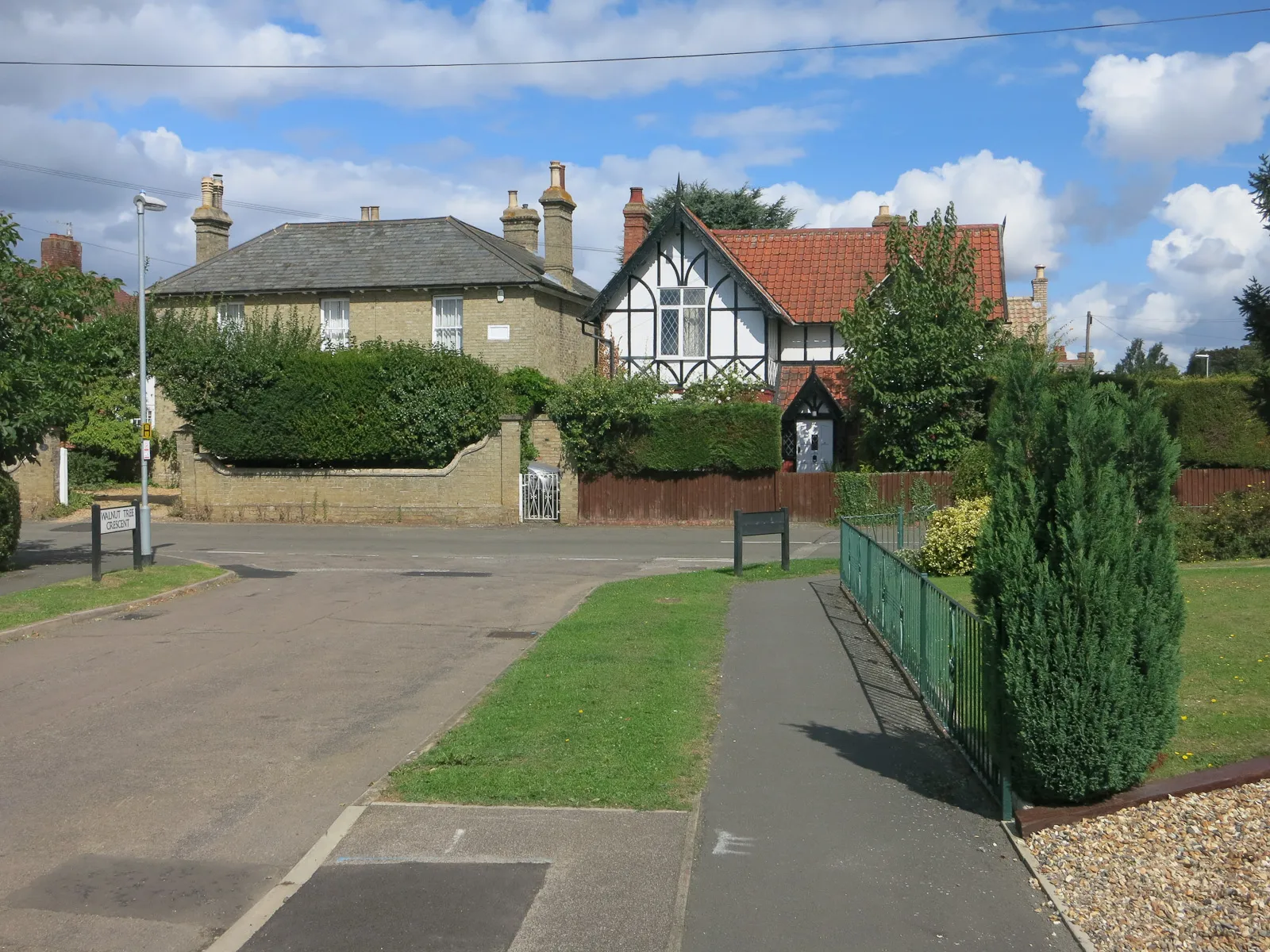
HauxtonVillageHauxton offers a pleasant pause with its village green and traditional architecture.
42 km
42 km
FowlmereVillageCyclists passing through Fowlmere can enjoy the beautiful nature reserves and bird-watching opportunities.
49 km
49 km
Cambridgeshire County Top146 mPeakReach the Cambridgeshire County Top, the highest point in Cambridgeshire, and take in the stunning panoramic views of the surrounding countryside.
64 km
64 km
BuntingfordTownBuntingford greets cyclists with a range of charming cottages and historic landmarks.
81 km
81 km
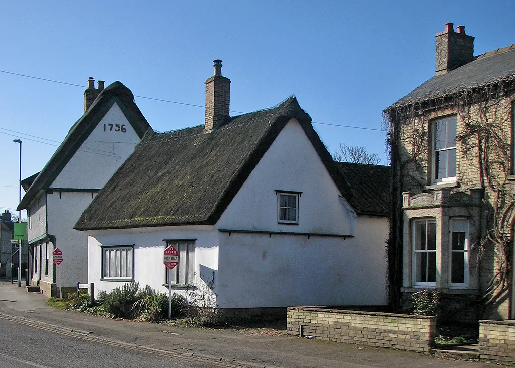
AshwellVillageAshwell is a quaint village with a rich history, characterized by its medieval buildings and peaceful ambiance.
95 km
95 km
PottonVillagePotton boasts charming architecture and a friendly atmosphere, perfect for a rest stop.
114 km
114 km
HiltonVillageAdmire the rolling hills and scenic landscapes while cycling through Hilton.
125 km
125 km
Finish: Needingworth Village centerNeedingworth: Tranquil cycling experience amidst picturesque landscapes.
Cycling routes nearby: