Exploring the picturesque countryside of East Anglia in Poringland, UK.
Cycling routes from Poringland
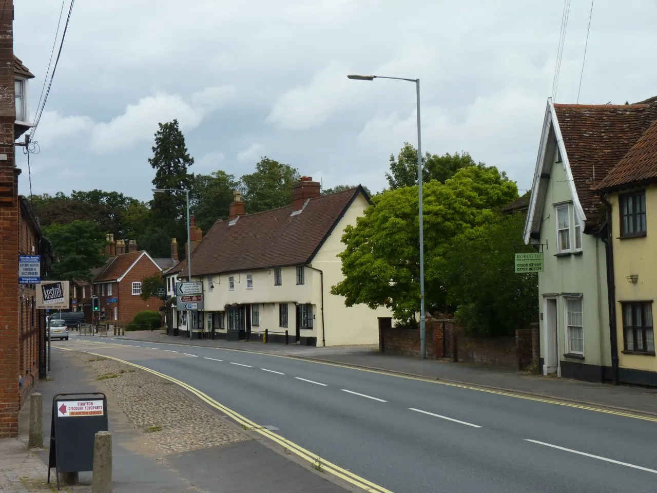
Poringland, situated in East Anglia, United Kingdom, offers a pleasant cycling experience for road and gravel cyclists. The locality features a mix of quiet country lanes and well-maintained roads. Cyclists can enjoy riding through idyllic farmlands and picturesque countryside scenery. While Poringland itself does not boast any significant cycling landmarks, it serves as a convenient base to explore nearby cycling hotspots like the Norfolk Broads and the coast. With its peaceful routes and access to popular cycling destinations, Poringland deserves a rank of 3.
Exploring Norfolk's Coastline

Cycle along the Norfolk coastline with stunning sea views
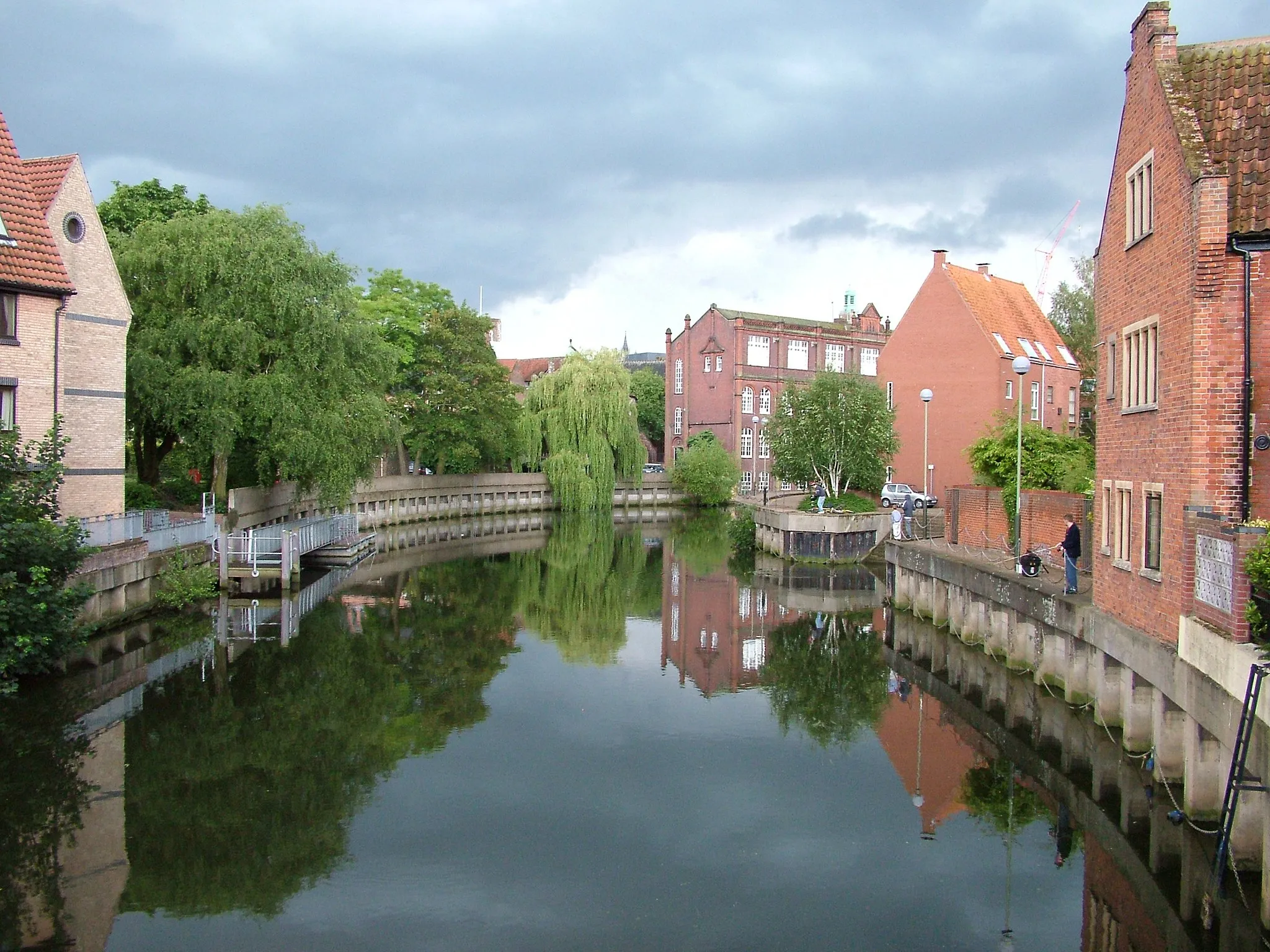
The Exploring Norfolk's Coastline route is a road cycling option starting near Poringland. Covering a distance of 81 km with an ascent of 284 meters, this route takes you on a scenic journey along the beautiful Norfolk coastline. Enjoy breathtaking sea views and explore picturesque seaside towns and villages. The route is suitable for experienced cyclists due to its longer distance and coastal terrain. Immerse yourself in the rich maritime history and enjoy the tranquility of Norfolk's coastline.
Poringland to Shotesham Ride
Embark on a scenic cycling journey from Poringland to Shotesham
This road cycling route takes you through the scenic landscapes and charming villages between Poringland and Shotesham. Enjoy the peaceful countryside as you pedal through beautiful lanes and rolling terrain. Along the way, you'll pass through Ashwellthorpe, a village known for its picturesque thatched buildings and tranquil atmosphere. With a moderate difficulty level and a distance of 79 km, this route is suitable for experienced amateur cyclists. Take in the breathtaking views and immerse yourself in the tranquility of rural East Anglia.

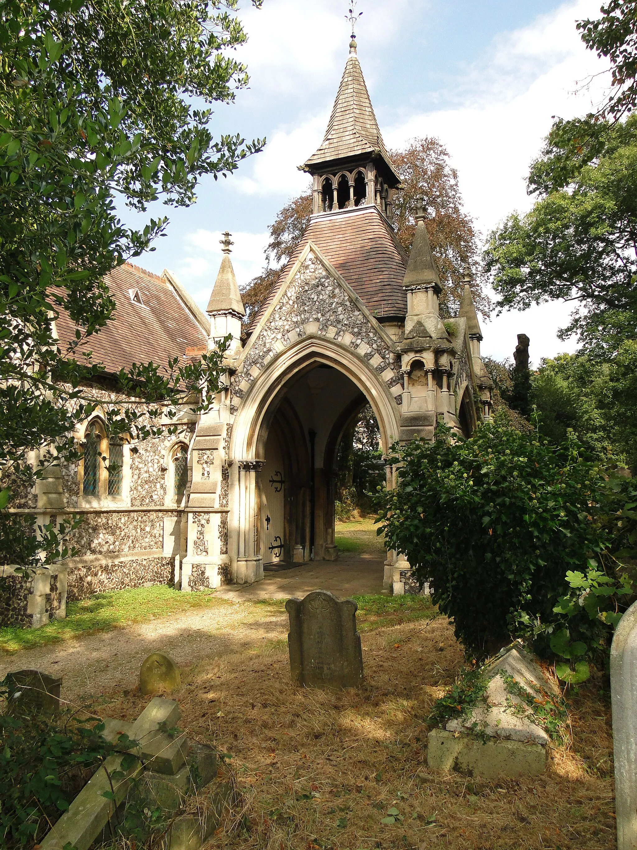
Embark on an epic cycling adventure from Poringland to Caistor St Edmund
Get ready for an epic cycling adventure through the stunning countryside of East Anglia. This road cycling route takes you from Poringland to Caistor St Edmund, passing through picturesque villages and breathtaking landscapes. As you ride, you'll encounter the vibrant village of Fritton, known for its ancient church and charming pub. Admire the beautiful scenery as you tackle the rolling hills and steep climbs of this challenging route. With a difficulty level of 4 and a distance of 133 km, this route is suitable for experienced cyclists seeking an exhilarating and unforgettable ride.
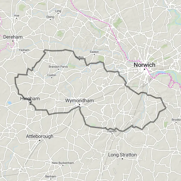
Poringland to Bunwell Loop
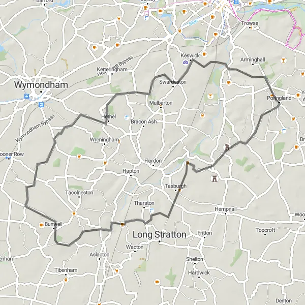
Cycle through scenic countryside from Poringland to Bunwell
Experience the beauty of East Anglia's countryside on this road cycling route from Poringland to Bunwell. Enjoy the tranquility of the rural landscapes as you pedal through quiet lanes and rolling hills. Along the way, you'll pass through the charming village of Shotesham, known for its historic church and stunning views. With a moderate difficulty level and a distance of 52 km, this route is suitable for well-trained amateurs. Immerse yourself in the peaceful surroundings and soak up the scenic beauty of this idyllic part of the United Kingdom.
Cycling Through Suffolk

Discover the scenic countryside of Suffolk
The Cycling Through Suffolk route is a road cycling option starting near Poringland. It covers a distance of 98 km with an ascent of 393 meters. This route takes you through the picturesque countryside of Suffolk, allowing you to explore charming villages and scenic landscapes. The route is suitable for experienced cyclists, as it includes challenging climbs and longer distances. Experience the beauty of rural Suffolk and enjoy the peaceful surroundings.
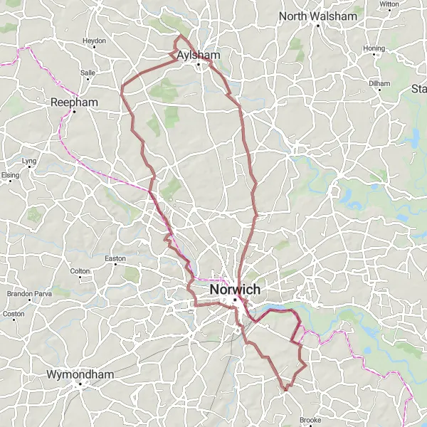
Get off the beaten path and explore gravel routes
The Off-Road Gravel Adventure is a 77 km long cycling route near Poringland. With an ascent of 331 meters, this gravel route offers a challenging option for adventurous cyclists. The terrain includes gravel paths and country roads, providing a thrilling off-road experience. The route is suitable for experienced cyclists due to its varied terrain and elevation. Enjoy the tranquil countryside and discover hidden gems along the way.
The Easton Loop

Cycle through the picturesque Easton village
The Easton Loop is a road cycling route starting near Poringland. It covers a distance of 73 km with an ascent of 270 meters. The route is known for its scenic beauty and passes through quaint villages and countryside. It offers a mix of rolling terrain and flat stretches, making it suitable for intermediate cyclists. The Easton Loop provides ample opportunities to explore the natural beauty of East Anglia.
Poringland to Brooke Loop
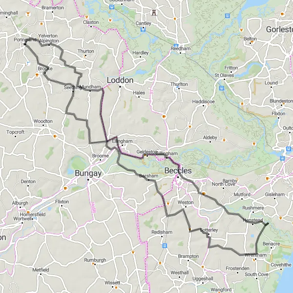
Cycle through the picturesque countryside from Poringland to Brooke
This cycling route takes you through the charming villages and beautiful landscapes of East Anglia. Starting in Poringland, you'll ride through peaceful lanes and rolling hills, enjoying views of the surrounding countryside. The route includes several highlights along the way, such as the quaint village of Shipmeadow and the historic town of Henstead. With a moderate difficulty level and a distance of 81 km, this route is suitable for well-trained amateurs. It offers a great opportunity to explore the rural beauty of the region.
Exploring South Norfolk
Discover the rural beauty of South Norfolk
The Exploring South Norfolk route is a road cycling option near Poringland, which covers a distance of 53 km with an ascent of 183 meters. It takes you through scenic countryside and picturesque villages, offering a glimpse into the rural beauty of the region. The route is suitable for intermediate level cyclists and provides a mix of climbs and flat stretches. Explore the idyllic villages and enjoy breathtaking views of the South Norfolk landscape.
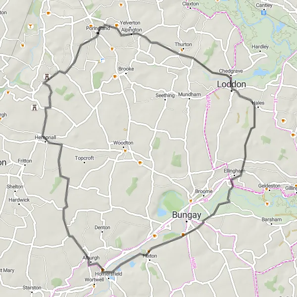
Poringland to Loddon Loop
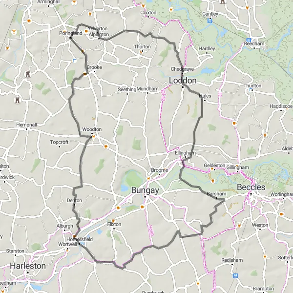
Explore the picturesque countryside from Poringland to Loddon
Embark on a scenic cycling journey through the stunning countryside of East Anglia. This road cycling route takes you from Poringland to Loddon, passing through quaint villages and historic sites along the way. Enjoy the tranquility of the rural landscapes as you pedal through peaceful lanes and rolling hills. Highlights of this route include Shipmeadow, with its beautiful 16th-century farmhouse and views of the River Waveney, and Brooke, a picturesque village known for its historic church and lively local pub. With a moderate difficulty level and a distance of 66 km, this route is suitable for experienced amateur cyclists seeking a peaceful and scenic cycling experience.
Cycling routes nearby:
Nearby regions: