Cycling Paradise in the Heart of East Anglia
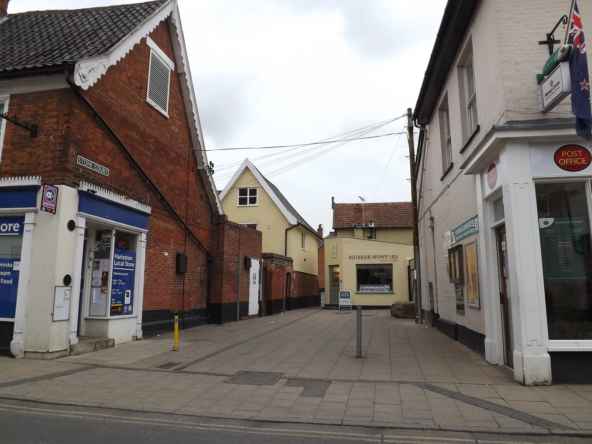
Cycling routes from Long Stratton
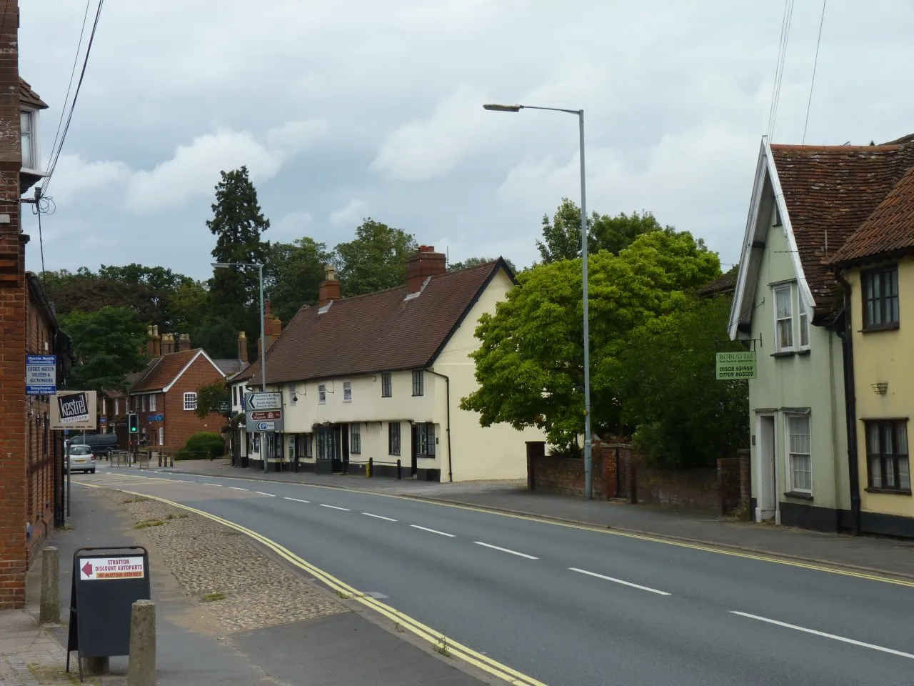
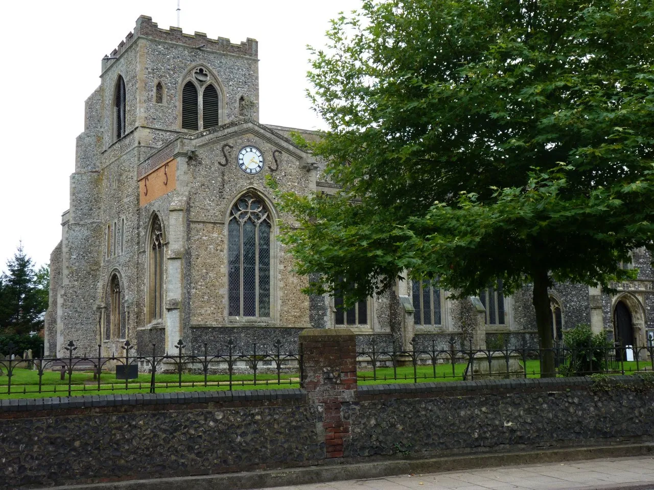
Long Stratton, located in East Anglia, United Kingdom, is a cyclist-friendly locality known for its picturesque landscapes and scenic routes. Cyclists can enjoy exploring the quiet country roads and rolling countryside that surrounds Long Stratton. The nearby Norfolk Broads National Park offers stunning natural beauty and tranquil cycling routes along the navigable waterways. Additionally, the Beeston Bump is a well-known climb in the area, providing a challenging ascent and panoramic views from the top.
A delightful journey through the scenic countryside surrounding New Buckenham
Embark on a delightful cycling adventure through the peaceful countryside surrounding New Buckenham. With a moderate difficulty level, this route covers a distance of 101 kilometers with an ascent of 346 meters. Enjoy the quietness of the countryside and discover the hidden gems along the way.
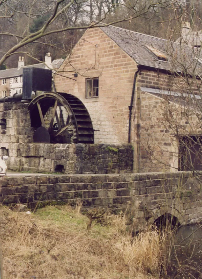
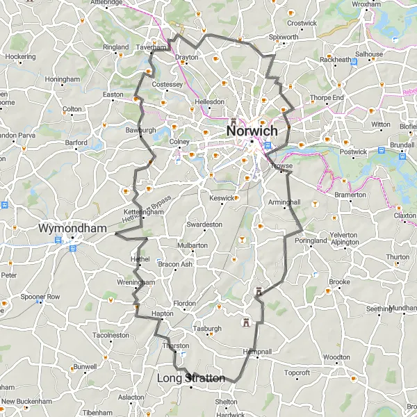
Woodton Circular Route
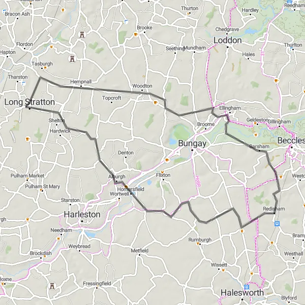
Cycle through the charming village of Woodton
This road cycling route takes you through scenic countryside around Long Stratton. The Woodton Circular Route is a moderately difficult ride with an ascent of 217 meters and a distance of 65 kilometers. Offering beautiful views and peaceful roads, this route is perfect for experienced cyclists seeking a peaceful ride in the idyllic East Anglian countryside. Enjoy highlights such as Shipmeadow, St Peter, South Elmham, and Hardwick along the way.
South Norfolk Delight

Experience the beauty of South Norfolk
The South Norfolk Delight route showcases the picturesque landscapes and charming villages of South Norfolk. This road cycling route presents a moderate challenge, with an ascent of 259 meters and a distance of 59 kilometers. Explore Ashwellthorpe, Wymondham, Easton, Colney, Swardeston, and Tasburgh, and be enchanted by the unspoiled beauty and historic heritage of the region.
The Norfolk Delight
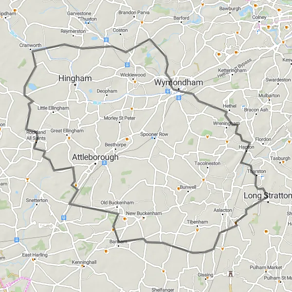
A picturesque and scenic route showcasing the beauty of Norfolk countryside and quaint villages
The Norfolk Delight is a delightful cycling route that takes you through the beautiful countryside of Norfolk, starting near Long Stratton. With a distance of 76km and an ascent of 229m, the route is suitable for well-trained amateurs seeking a leisurely ride. The highlights of this route include Great Moulton, the charming village known for its historic buildings and scenic landscapes, Old Buckenham with its impressive medieval castle ruins, Cranworth which boasts a picturesque village green, and Wymondham, a historic market town with a rich cultural heritage. Experience the tranquility of the Norfolk countryside as you cycle through scenic routes and explore these charming villages.
Explore the historic streets of Norwich and visit the famous Norwich Castle Museum
Discover the vibrant city of Norwich and its rich cultural heritage on this cycling route. With a moderate difficulty level, this route covers a distance of 106 kilometers with an ascent of 450 meters. Explore the picturesque countryside and immerse yourself in Norwich's fascinating history.
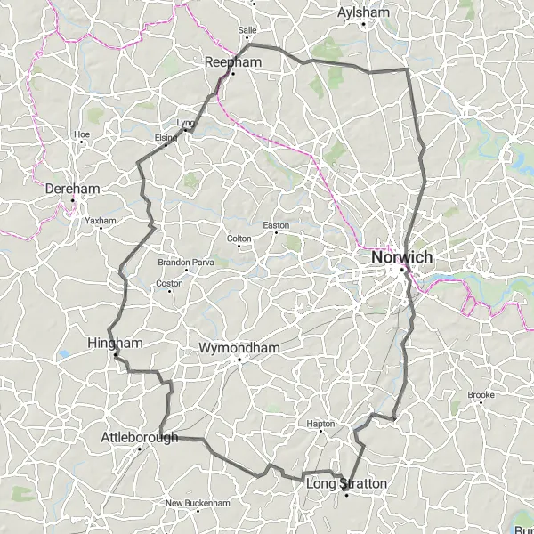
Hingham Loop Adventure

Scenic ride exploring the countryside and villages surrounding Hingham
Embark on a scenic cycling adventure through the idyllic countryside and charming villages surrounding Hingham. With moderate difficulty and a length of 122 kilometers and an ascent of 530 meters, this route is perfect for experienced cyclists seeking a rewarding challenge. Enjoy the peacefulness of the area and soak in the natural beauty along the way.
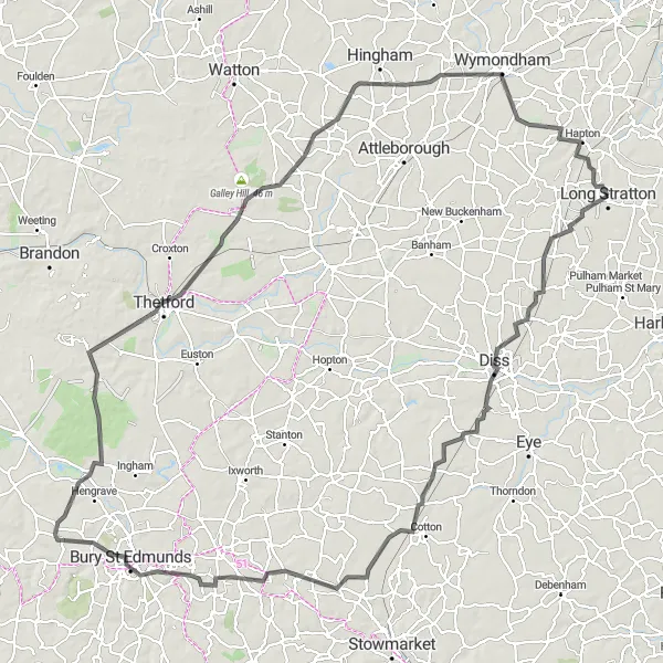
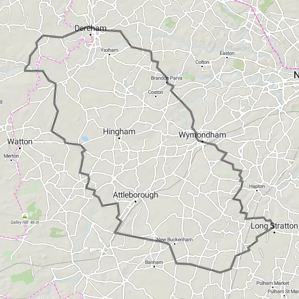
Embark on a cycling adventure through the scenic landscapes and picturesque villages of Suffolk
The Suffolk Exploration offers a thrilling 140km route that takes you through the scenic landscapes and charming villages of Suffolk, starting near Long Stratton. With an ascent of 532m, this route is suitable for experienced cyclists looking for a challenging ride. The highlights of this route include Great Moulton, a picturesque village known for its stunning landscapes; Diss, a vibrant market town; Mellis, a quaint village famous for its peaceful atmosphere; Wetherden, offering picturesque countryside views; Westley, with its beautiful church and rural charm; West Stow, known for its ancient Anglo-Saxon village; and Ringmere Lookout, offering panoramic views of the surrounding countryside. As you pedal through the Suffolk countryside, you'll pass through many charming towns and villages, each with its own unique character.
Wandering through Wreningham
A scenic ride through the picturesque countryside surrounding Wreningham
Discover the breathtaking beauty of the countryside surrounding Wreningham on this picturesque cycling route. With a moderate difficulty level and covering a distance of 78 kilometers with an ascent of 395 meters, it is perfect for cyclists seeking an enjoyable day out. Take in the stunning landscapes and immerse yourself in the tranquility of the area.
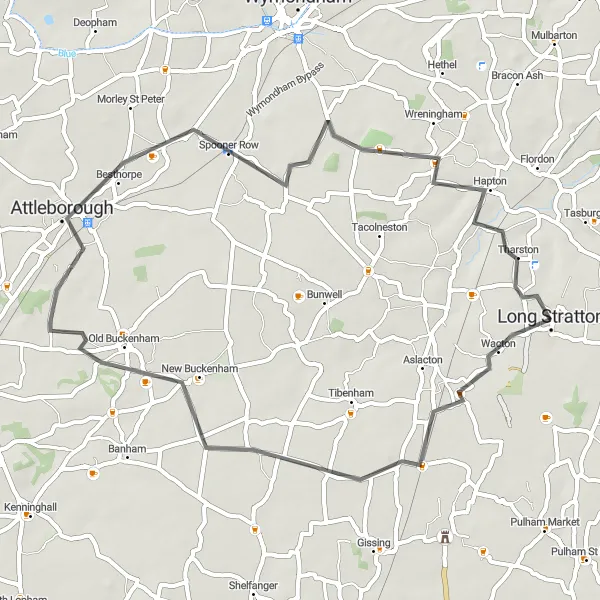
Discover historic villages in East Anglia
This road cycling route explores the historic villages and towns near Long Stratton. The Historic Villages Loop is relatively easy, with an ascent of 121 meters and a distance of 49 kilometers. Passing through Great Moulton, New Buckenham, Attleborough, Spooner Row, and Wreningham, this route provides a glimpse into the area's rich heritage and captivating scenery.
South Norfolk Exploration
Discover the rural beauty of South Norfolk on this scenic cycling route
This round-trip cycling route takes you through the picturesque countryside of South Norfolk, offering stunning views of rolling hills and charming villages. With a total distance of 96 km and an ascent of 288 m, it provides a moderate challenge for well-trained amateur cyclists. Along the way, you'll pass by several highlights including the historic village of Great Moulton, known for its traditional thatched cottages and serene atmosphere. Another highlight is the village of Shropham, where you can admire the beautiful St. Peter and St. Paul Church. The town of Watton offers a great opportunity for a quick break with its interesting mix of modern amenities and historical landmarks. As you continue, you'll reach the village of Holme Hale with its stunning 12th-century church. The scenic village of Thuxton is another highlight, known for its well-preserved Victorian railway station. Finally, the route takes you through Tacolneston, a village surrounded by expansive farmland.
Cycling routes nearby:
Nearby regions: