![Cover image](https://images.tarmacs.app/cycling-routes/photos/united-kingdom/east-anglia/3804032310/tacolneston-1.webp)
South Norfolk Exploration
A road cycling route starting from Long Stratton
Discover the rural beauty of South Norfolk on this scenic cycling route
![Map miniature of "South Norfolk Exploration" cycling inspiration in East Anglia, United Kingdom. Generated by Tarmacs.app cycling route planner](https://images.tarmacs.app/cycling-routes/routemaps/600/united-kingdom/east-anglia/long-stratton/road/143116.webp)
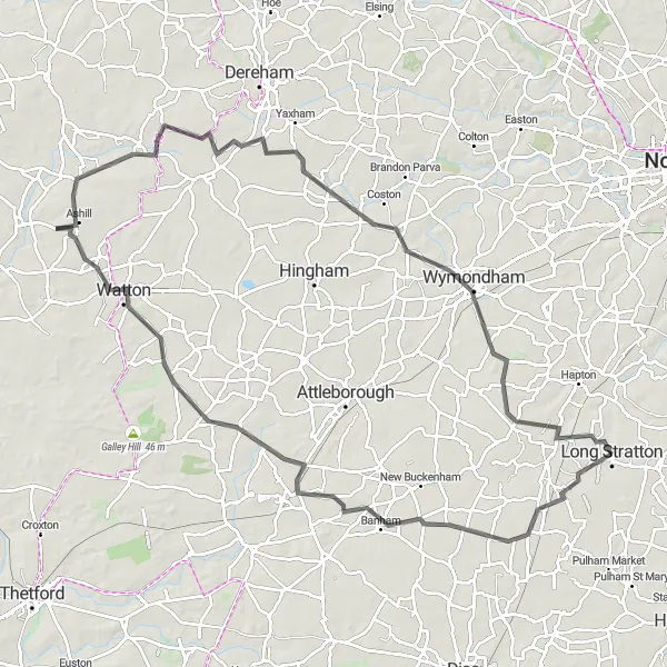
This round-trip cycling route takes you through the picturesque countryside of South Norfolk, offering stunning views of rolling hills and charming villages. With a total distance of 96 km and an ascent of 288 m, it provides a moderate challenge for well-trained amateur cyclists. Along the way, you'll pass by several highlights including the historic village of Great Moulton, known for its traditional thatched cottages and serene atmosphere. Another highlight is the village of Shropham, where you can admire the beautiful St. Peter and St. Paul Church. The town of Watton offers a great opportunity for a quick break with its interesting mix of modern amenities and historical landmarks. As you continue, you'll reach the village of Holme Hale with its stunning 12th-century church. The scenic village of Thuxton is another highlight, known for its well-preserved Victorian railway station. Finally, the route takes you through Tacolneston, a village surrounded by expansive farmland.
Highlights on the route
Cycling routes from Long Stratton:
Cycling routes nearby:
![Image of Harleston](https://images.tarmacs.app/cycling-routes/covers/united-kingdom/east-anglia/harleston-5.webp)
![Image of Poringland](https://images.tarmacs.app/cycling-routes/covers/united-kingdom/east-anglia/poringland-5.webp)
![Image of Hethersett](https://images.tarmacs.app/cycling-routes/covers/united-kingdom/east-anglia/hethersett-5.webp)
![Image of Cringleford](https://images.tarmacs.app/cycling-routes/covers/united-kingdom/east-anglia/cringleford-5.webp)
![Image of Bungay](https://images.tarmacs.app/cycling-routes/covers/united-kingdom/east-anglia/bungay-4.webp)
![Image of Ditchingham](https://images.tarmacs.app/cycling-routes/covers/united-kingdom/east-anglia/ditchingham-4.webp)
![Image of Diss](https://images.tarmacs.app/cycling-routes/covers/united-kingdom/east-anglia/diss-5.webp)
![Image of Attleborough](https://images.tarmacs.app/cycling-routes/covers/united-kingdom/east-anglia/attleborough-5.webp)