Gravel Exploration from Whittlesford
A gravel cycling route starting from Whittlesford
Discover the off-road beauty of Cambridgeshire on this gravel cycling route
Map
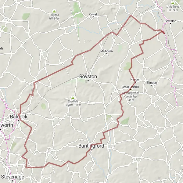
Embark on a thrilling gravel cycling adventure starting near Whittlesford. This route takes you on a scenic journey through the Cambridgeshire countryside, offering a mix of gravel paths and quiet country roads. With a challenging ascent and varied terrain, it is suitable for experienced gravel riders. Don't miss the highlights along the route, including Whittlesford, Cambridgeshire County Top, Ardeley, Ashwell, and Rowley's Hill.
gravel
90 km
490 m
Tough
Route profile
Highlights on the route
0 km
0 km
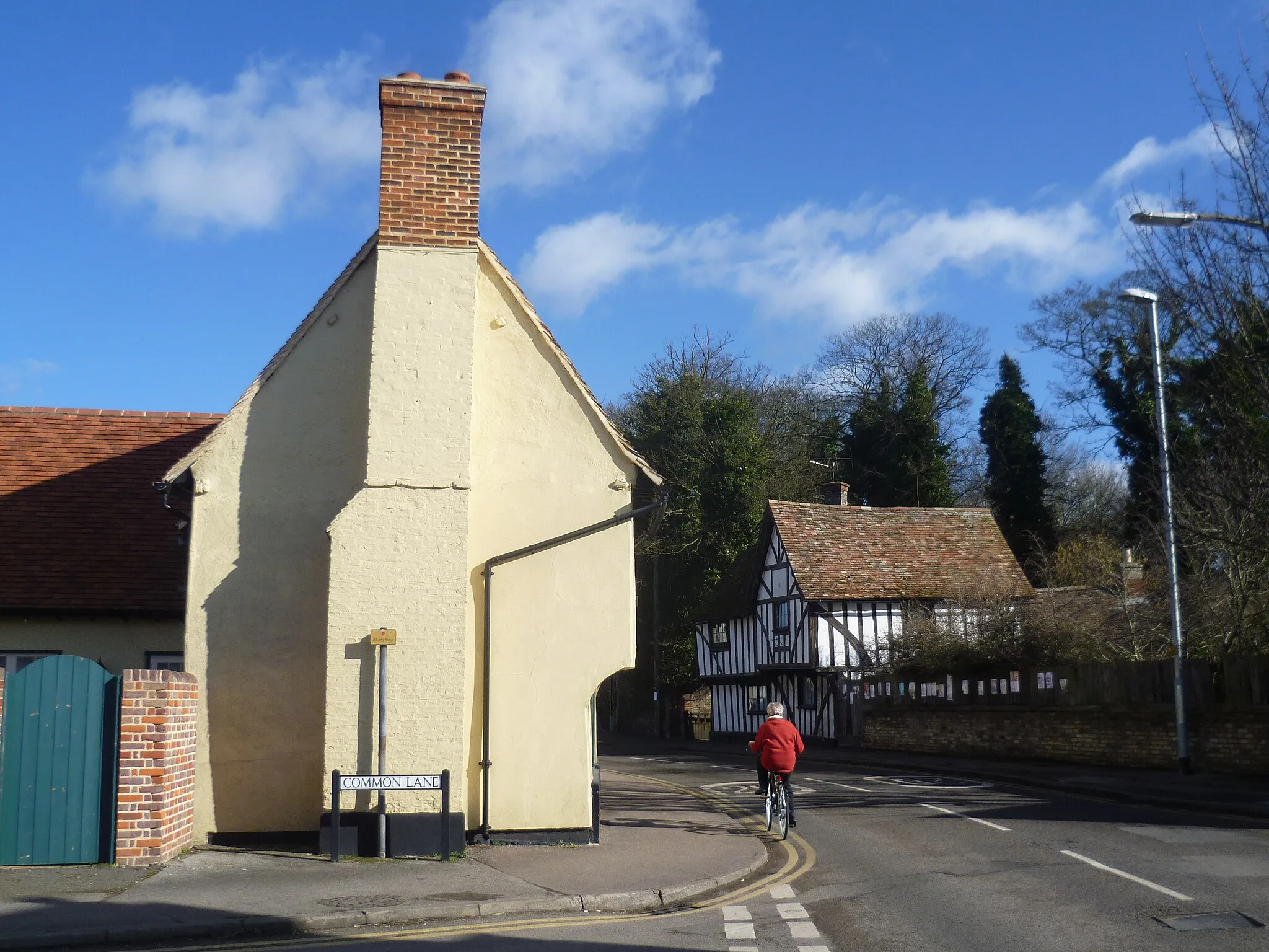
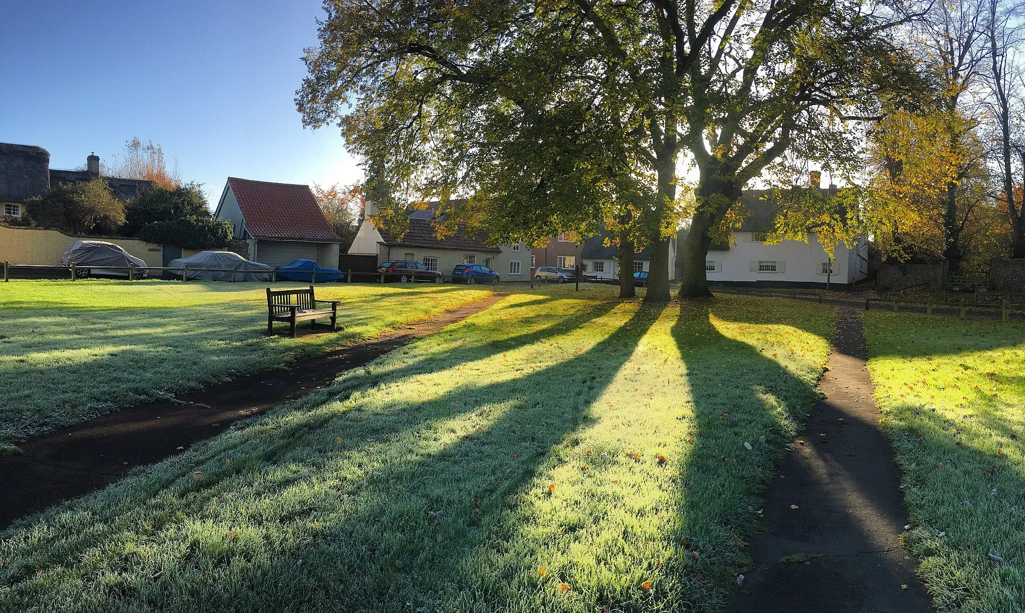
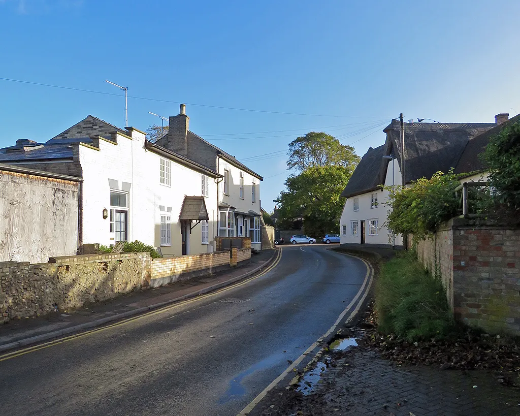
Start: Whittlesford Village centerWhittlesford: Idyllic countryside cycling in Whittlesford, United Kingdom
Whittlesford is a locality in the East Anglia region of the United Kingdom. From a cyclist's perspective, Whittlesford offers peaceful and picturesque cycling routes through the English countryside. Cyclists can explore winding country lanes, passing by charming villages and historic landmarks. The region is relatively flat, making it suitable for both road and gravel cycling. While there aren't any famous cycling spots or well-known climbs in close proximity, Whittlesford's idyllic setting and pleasant scenery make it a delightful location for leisurely rides.0 km
0 km
WhittlesfordVillageWhittlesford marks the starting point of your gravel adventure, offering convenient amenities and services for cyclists.
14 km
14 km
Cambridgeshire County Top146 mPeakCambridgeshire County Top is the highest point in Cambridgeshire, providing panoramic views of the surrounding landscapes.
38 km
38 km
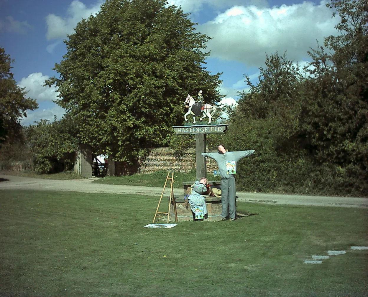
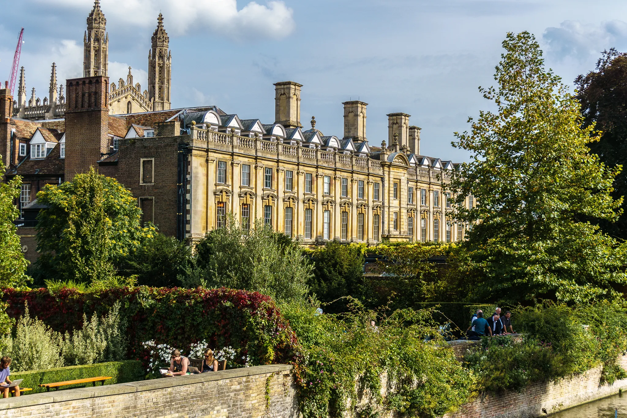
ArdeleyVillageArdeley is a charming village known for its traditional farm and locally sourced produce, perfect for a foodie stop.
62 km
62 km
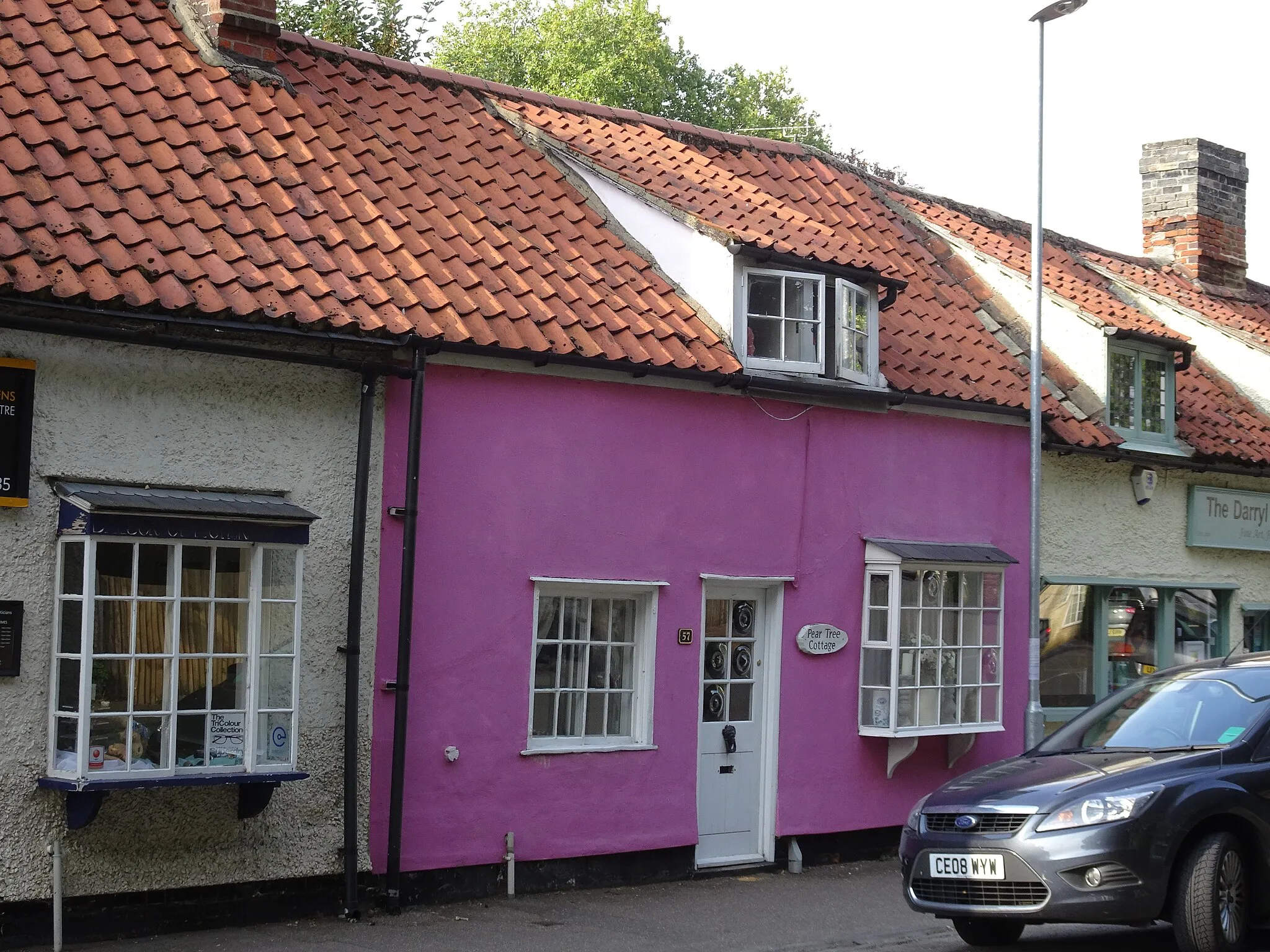
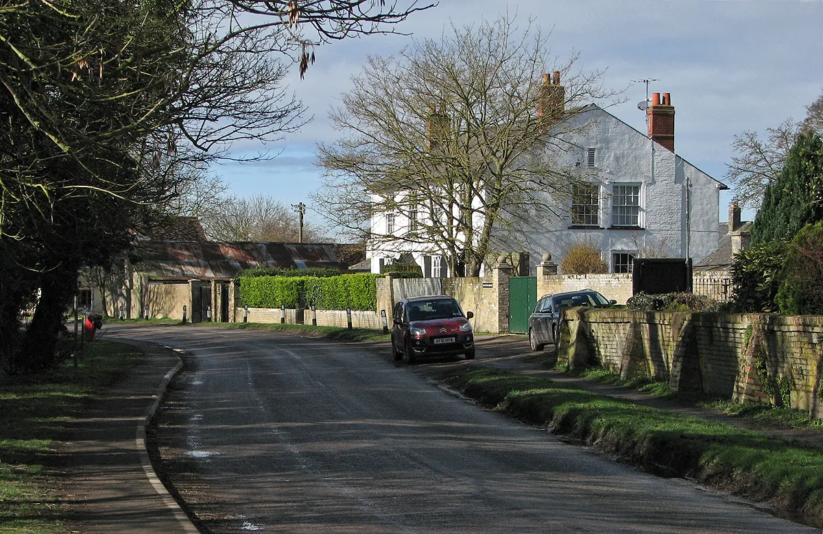
AshwellVillageAshwell is a picturesque medieval village with thatched-roof cottages and a historic parish church.
84 km
84 km
Rowley's Hill50 mPeakRowley's Hill offers a challenging off-road climb, rewarding riders with stunning views from the top.
90 km
90 km
Finish: Whittlesford Village centerWhittlesford: Idyllic countryside cycling in Whittlesford, United Kingdom
Cycling routes nearby: