![Cover image](https://images.tarmacs.app/cycling-routes/covers/united-kingdom/east-anglia/witchford-5.webp)
Experience the serenity and diverse cycling routes of Witchford in East Anglia, United Kingdom.
Cycling routes from Witchford
Witchford is a locality situated in East Anglia, United Kingdom. It provides a cyclist-friendly environment with a mix of flat and rolling terrains surrounded by scenic countryside views. Witchford offers enjoyable road and gravel cycling routes, suitable for riders of all levels. For those seeking a challenge, Devil's Dyke is a notable local climb close to Witchford that tests cyclists' skills and offers picturesque vistas from the top. Overall, Witchford's tranquil surroundings and cyclist-friendly roads make it an appealing destination for two-wheeled explorations.
![Map miniature of "Witchford to Gog Magog Hills Gravel Adventure" cycling inspiration in East Anglia, United Kingdom. Generated by Tarmacs.app cycling route planner](https://images.tarmacs.app/cycling-routes/routemaps/600/united-kingdom/east-anglia/witchford/gravel/69747.webp)
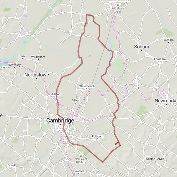
Embark on a gravel adventure from Witchford to the scenic Gog Magog Hills.
Gear up for an exciting gravel adventure from Witchford to the iconic Gog Magog Hills. Along the way, you'll pass through Stretham, Bottisham, Gog Magog Hills, and Cambridge. This route offers a perfect combination of natural beauty and hidden gems.
![Map miniature of "Witchford to Upwell Adventure" cycling inspiration in East Anglia, United Kingdom. Generated by Tarmacs.app cycling route planner](https://images.tarmacs.app/cycling-routes/routemaps/600/united-kingdom/east-anglia/witchford/road/69772.webp)
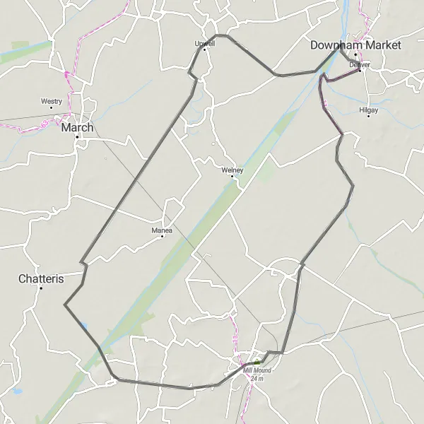
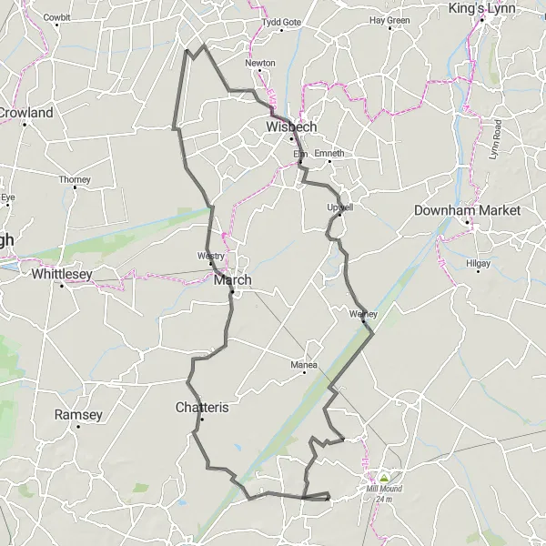
Embark on an exciting cycling adventure from Witchford to Upwell.
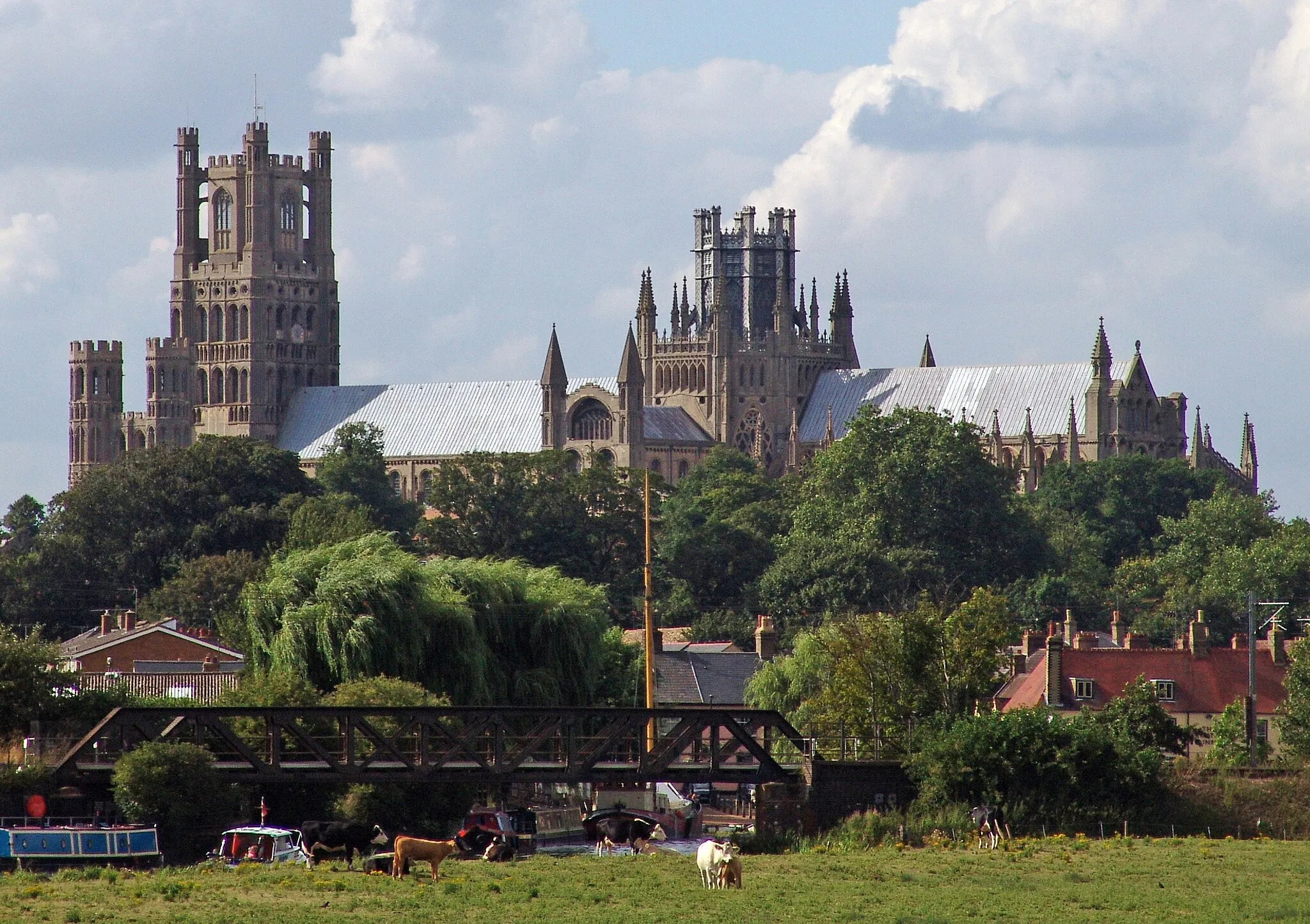
Prepare for an epic 82 km journey filled with scenic landscapes, historic highlights, and picturesque villages. Ride through Witchford, Mepal, Stonea Camp, Upwell, Black Horse Drove, and Ely, experiencing the diverse beauty of East Anglia along the way. With a total ascent of 82 meters, this road cycling route is sure to provide an unforgettable adventure.
![Map miniature of "Witchford to Ely Gravel Route" cycling inspiration in East Anglia, United Kingdom. Generated by Tarmacs.app cycling route planner](https://images.tarmacs.app/cycling-routes/routemaps/600/united-kingdom/east-anglia/witchford/gravel/69733.webp)
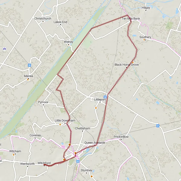
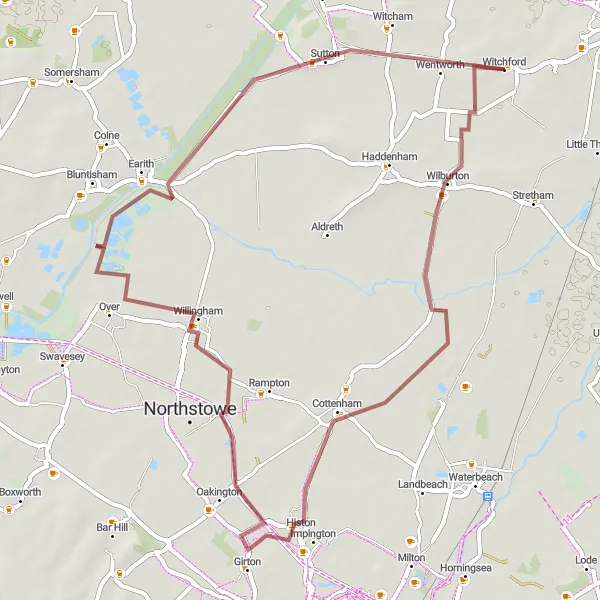
Embark on an adventure to Ely on this thrilling gravel cycling route.
Get off the beaten path and explore the gravel roads from Witchford to Ely. Along the way, you'll pass through Little Downham, Suspension Bridge, and Black Horse Drove. This route is perfect for gravel enthusiasts looking for a scenic and challenging ride.
![Map miniature of "The Fenland Gravel Adventure" cycling inspiration in East Anglia, United Kingdom. Generated by Tarmacs.app cycling route planner](https://images.tarmacs.app/cycling-routes/routemaps/600/united-kingdom/east-anglia/witchford/gravel/131075.webp)
A scenic gravel route exploring the enchanting Fenland landscape
Embark on an epic gravel adventure through the stunning Fenland region of East Anglia. This 84 km round-trip route starting near Witchford takes you on a remarkable journey through rural landscapes, picturesque villages, and breathtaking natural beauty. Expect to be mesmerized by the serene Fen Ditton, the charming village of Haslingfield, and the historical landmarks of Hardwick and Witcham. With a moderate difficulty level and plenty of scenic highlights along the way, this route offers a perfect escape for gravel enthusiasts seeking a taste of the English countryside.
Ely Exploration
![Map miniature of "Ely Exploration" cycling inspiration in East Anglia, United Kingdom. Generated by Tarmacs.app cycling route planner](https://images.tarmacs.app/cycling-routes/routemaps/600/united-kingdom/east-anglia/witchford/road/69754.webp)
Immerse yourself in the rich history and culture of Ely.
Take a captivating journey from Witchford to Ely, exploring the heritage sites and charming villages along this 61 km route. With a total ascent of 78 meters, this road cycling adventure offers a delightful experience through the heart of East Anglia.
![Map miniature of "Soham and Back" cycling inspiration in East Anglia, United Kingdom. Generated by Tarmacs.app cycling route planner](https://images.tarmacs.app/cycling-routes/routemaps/600/united-kingdom/east-anglia/witchford/road/69727.webp)
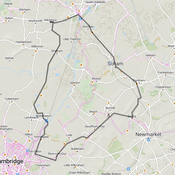
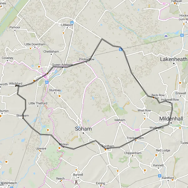
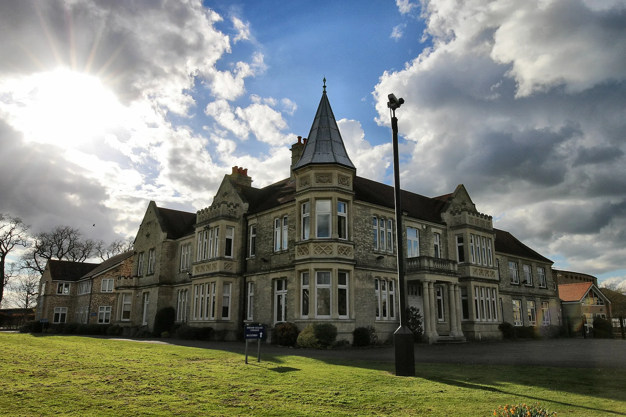
Cycle through scenic roads to reach the historic town of Soham.
Embark on a picturesque journey from Witchford and explore the delightful towns and villages of Soham, Burwell, Lode, Fen Ditton, and Waterbeach. Experience stunning countryside scenery as you ride along this 63 km route, with a total ascent of 97 meters.
![Map miniature of "Witchford and Chatteris Circuit" cycling inspiration in East Anglia, United Kingdom. Generated by Tarmacs.app cycling route planner](https://images.tarmacs.app/cycling-routes/routemaps/600/united-kingdom/east-anglia/witchford/road/69759.webp)
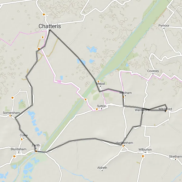
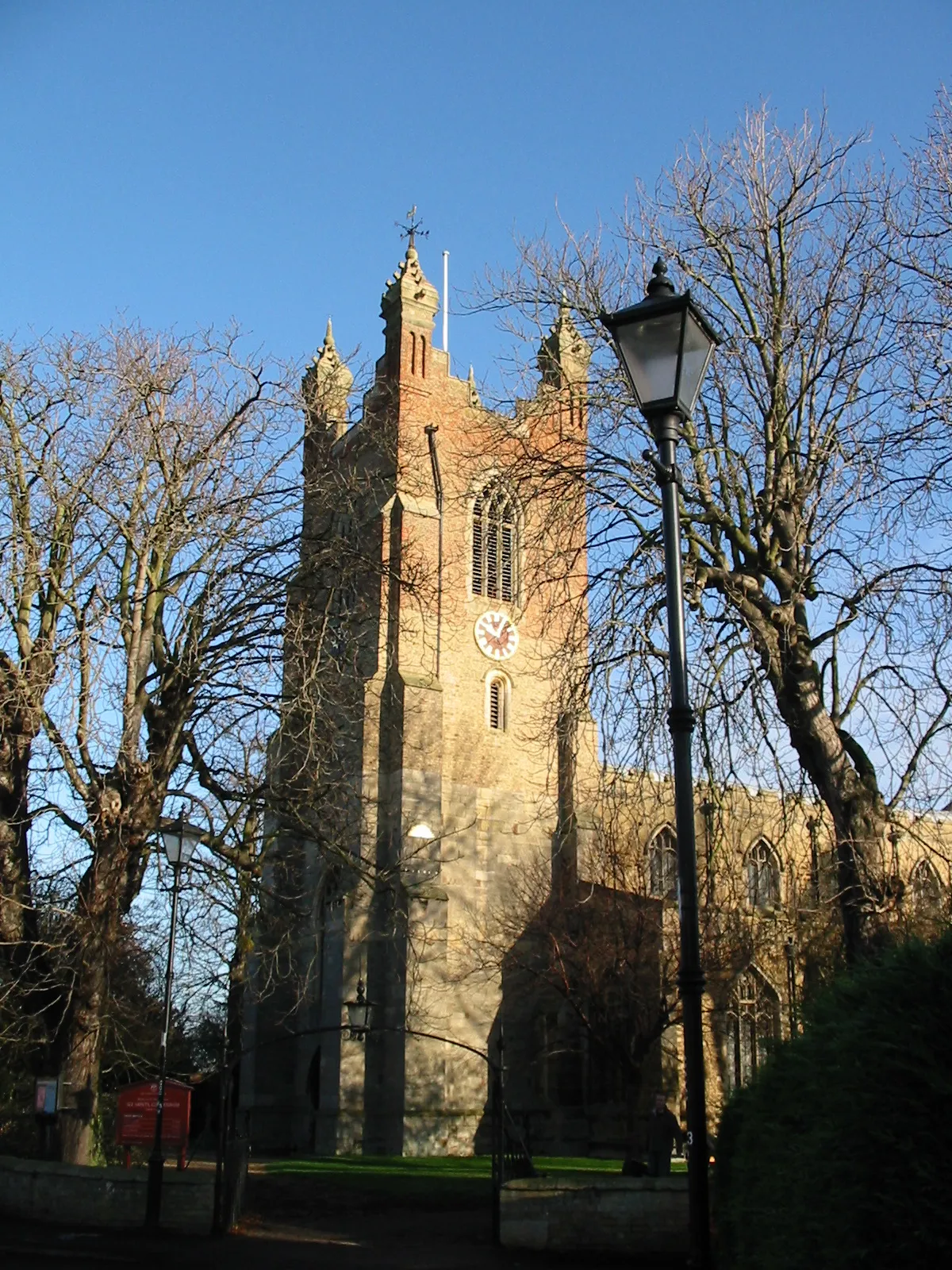
Cycle through beautiful landscapes to reach the charming town of Chatteris.
Embark on a pleasant round trip from Witchford, exploring the scenic landscapes while visiting the notable town of Chatteris. This 44 km route features a moderate ascent of 66 meters, offering a delightful cycling experience.
Wilburton Gravel Loop
![Map miniature of "Wilburton Gravel Loop" cycling inspiration in East Anglia, United Kingdom. Generated by Tarmacs.app cycling route planner](https://images.tarmacs.app/cycling-routes/routemaps/600/united-kingdom/east-anglia/witchford/gravel/69738.webp)
Experience a thrilling gravel ride through beautiful Wilburton.
Whisk yourself away on an exciting gravel adventure through the stunning landscapes near Witchford. This 55 km loop takes you through the charming village of Wilburton, providing a challenging terrain with a total ascent of 74 meters.
The Fens Loop
![Map miniature of "The Fens Loop" cycling inspiration in East Anglia, United Kingdom. Generated by Tarmacs.app cycling route planner](https://images.tarmacs.app/cycling-routes/routemaps/600/united-kingdom/east-anglia/witchford/road/69757.webp)
Discover the flatlands of East Anglia on this scenic cycling route
Experience the unique charm of the flatlands of East Anglia as you cycle on this scenic route through the Fens. With a total ascent of 137 meters and a distance of 113 kilometers, this round-trip cycling route offers a relatively easy but enjoyable ride for well-trained amateurs.
![Map miniature of "Witchford to St Ives Gravel Loop" cycling inspiration in East Anglia, United Kingdom. Generated by Tarmacs.app cycling route planner](https://images.tarmacs.app/cycling-routes/routemaps/600/united-kingdom/east-anglia/witchford/gravel/69742.webp)
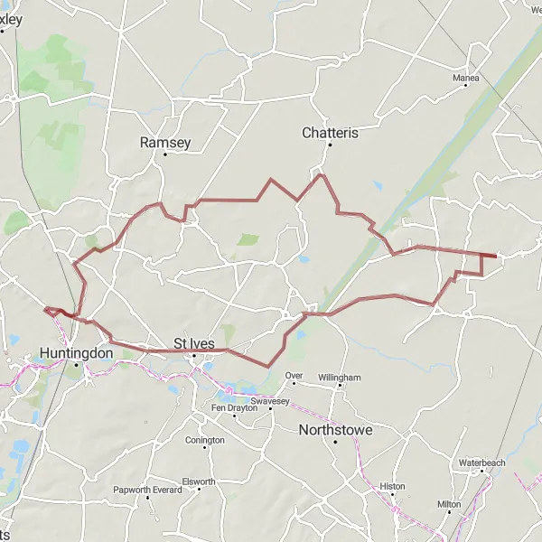
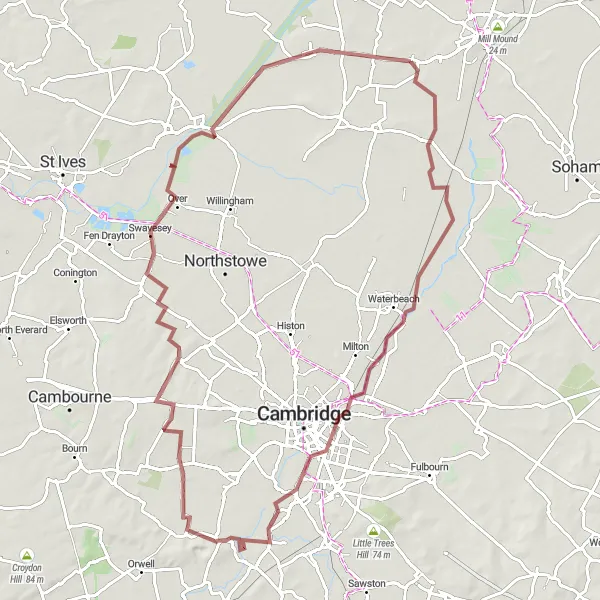
Embark on a thrilling gravel loop from Witchford to St Ives.
Challenge yourself with this thrilling gravel loop from Witchford to St Ives. Along the way, you'll conquer Haddenham, Lockspit's viewpoint, St Ives, and Witcham. Prepare for an exhilarating ride surrounded by stunning landscapes and fascinating landmarks.
Cycling routes nearby:
![Image of Ely](https://images.tarmacs.app/cycling-routes/covers/united-kingdom/east-anglia/ely-5.webp)
![Image of Stretham](https://images.tarmacs.app/cycling-routes/covers/united-kingdom/east-anglia/stretham-5.webp)
![Image of Haddenham](https://images.tarmacs.app/cycling-routes/covers/united-kingdom/east-anglia/haddenham-5.webp)
![Image of Sutton](https://images.tarmacs.app/cycling-routes/covers/united-kingdom/east-anglia/sutton-5.webp)
![Image of Littleport](https://images.tarmacs.app/cycling-routes/covers/united-kingdom/east-anglia/littleport-5.webp)
![Image of Soham](https://images.tarmacs.app/cycling-routes/covers/united-kingdom/east-anglia/soham-4.webp)
![Image of Cottenham](https://images.tarmacs.app/cycling-routes/covers/united-kingdom/east-anglia/cottenham-5.webp)
![Image of Earith](https://images.tarmacs.app/cycling-routes/covers/united-kingdom/east-anglia/earith-4.webp)
Nearby regions:
![Image of Derbyshire and Nottinghamshire](https://images.tarmacs.app/cycling-routes/covers/united-kingdom/derbyshire-and-nottinghamshire/worksop-3.webp)
![Image of Leicestershire, Rutland and Northamptonshire](https://images.tarmacs.app/cycling-routes/covers/united-kingdom/leicestershire-rutland-and-northamptonshire/broughton-astley-5.webp)
![Image of Bedfordshire and Hertfordshire](https://images.tarmacs.app/cycling-routes/covers/united-kingdom/bedfordshire-and-hertfordshire/flitwick-4.webp)
![Image of Essex](https://images.tarmacs.app/cycling-routes/covers/united-kingdom/essex/hadleigh-3.webp)
![Image of Inner London — East](https://images.tarmacs.app/cycling-routes/covers/united-kingdom/inner-london-east/forest-hill-5.webp)
![Image of Outer London — East and North East](https://images.tarmacs.app/cycling-routes/covers/united-kingdom/outer-london-east-and-north-east/walthamstow-3.webp)
![Image of Outer London — West and North West](https://images.tarmacs.app/cycling-routes/covers/united-kingdom/outer-london-west-and-north-west/friern-barnet-4.webp)
![Image of Berkshire, Buckinghamshire and Oxfordshire](https://images.tarmacs.app/cycling-routes/covers/united-kingdom/berkshire-buckinghamshire-and-oxfordshire/yarnton-1.webp)