Belton Circle Road Cycling Route
A road cycling route starting from Belton
Discover the countryside around Belton on this scenic road cycling route.
Map
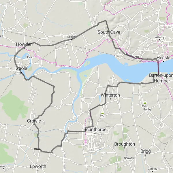
Enjoy a picturesque cycling route starting from Belton, East Yorkshire. With a total distance of 110 km and an elevation gain of 341 meters, this route will challenge amateur cyclists while treating them to stunning landscapes. The mixture of flat and rolling terrain offers a great variety, allowing riders to experience the beauty of East Yorkshire and Northern Lincolnshire.
road
110 km
341 m
Tough
Route profile
Highlights on the route
0 km
0 km
Start: Westgate Village centerBelton: Charming town with enjoyable countryside rides.
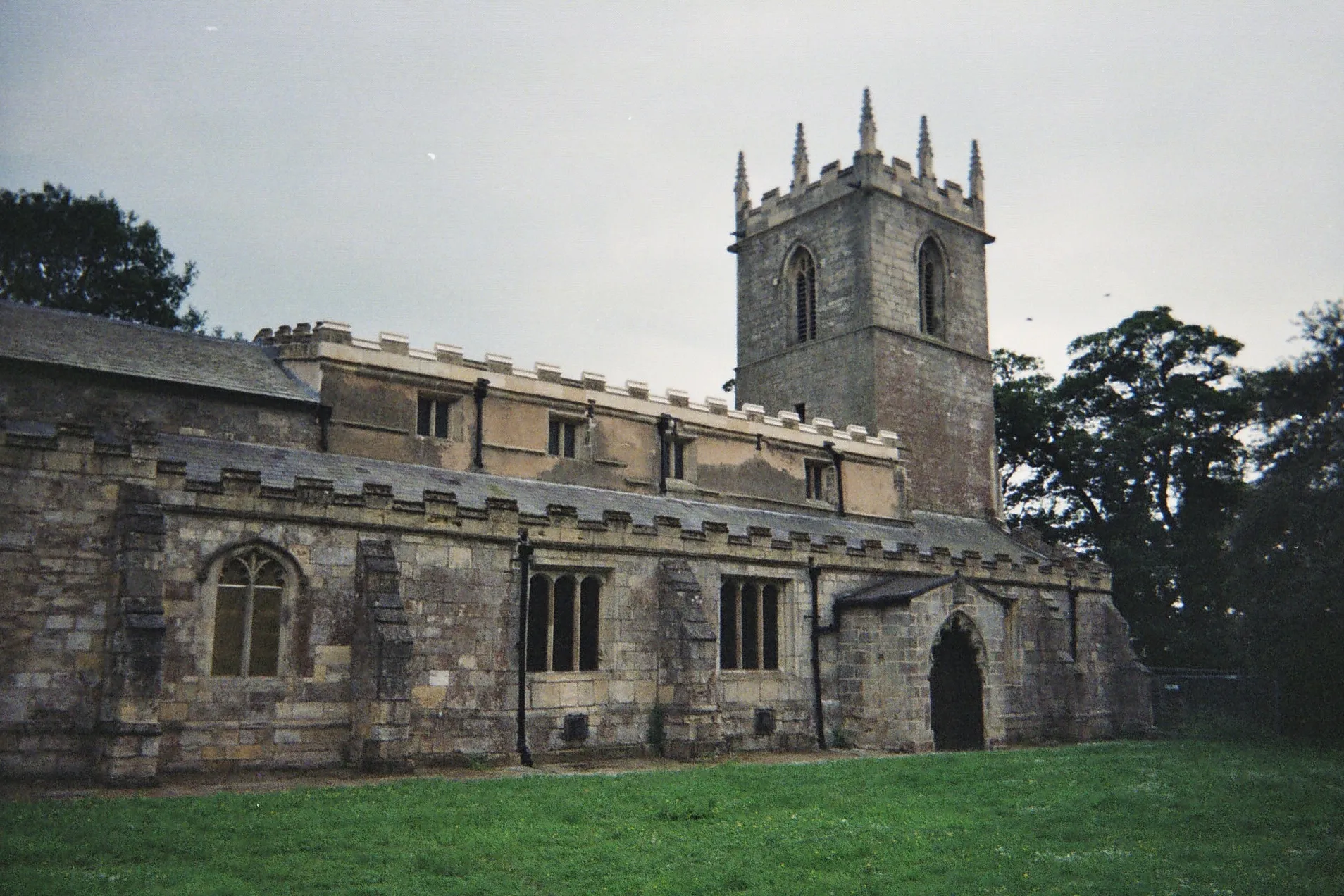
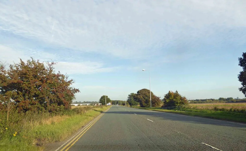
Belton is a charming town located in East Yorkshire and Northern Lincolnshire, United Kingdom. From a road and gravel cyclist's point of view, the locality offers some decent cycling opportunities. The roads surrounding Belton are enjoyable to ride on, with scenic countryside views and little traffic. However, there are no well-known climbs or specific attractions for cyclists in this area. Overall, Belton is a suitable option for cyclists looking to explore rural landscapes and enjoy peaceful rides.7 km
7 km
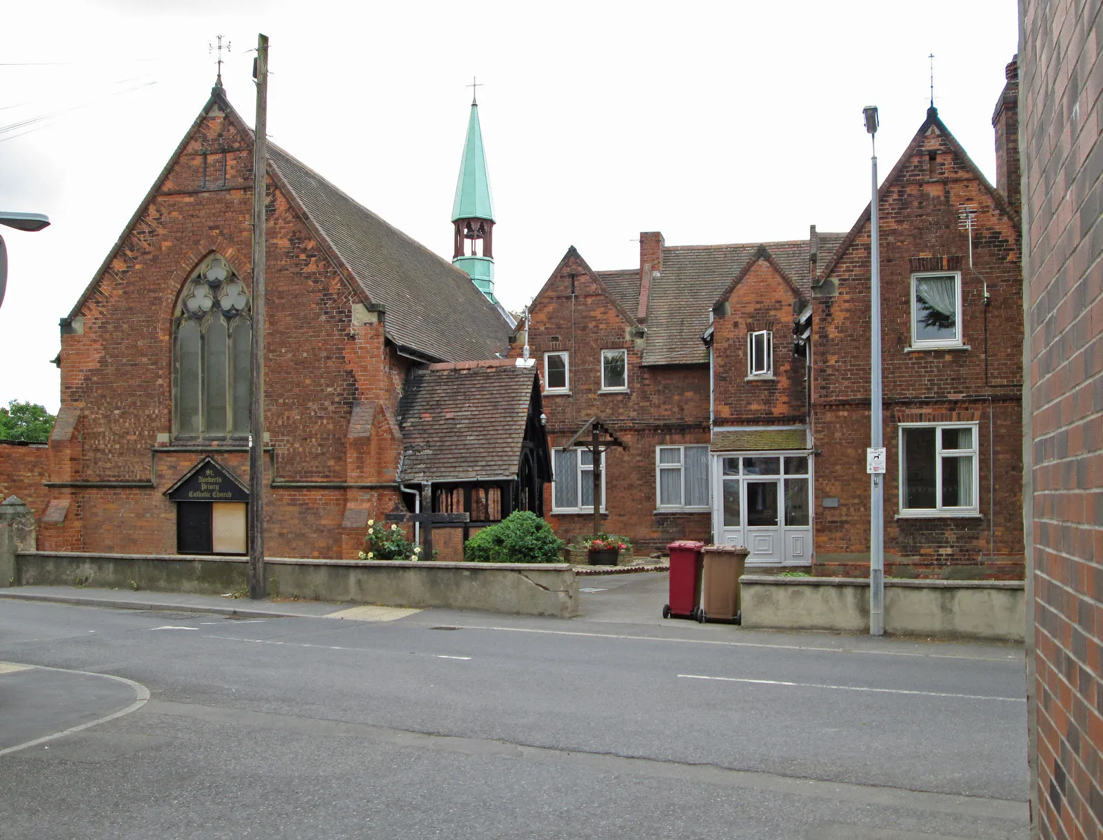
CrowleTownAlong the route, you will pass through Crowle, a charming village with historic buildings and a rich industrial heritage.
26 km
26 km
GooleTownGoole, located near the route, is known for its inland port and offers a pleasant spot for a break.
41 km
41 km
GilberdykeVillageGilberdyke is a vibrant village with local shops and cafes, ideal for a quick rest and refreshments.
58 km
58 km
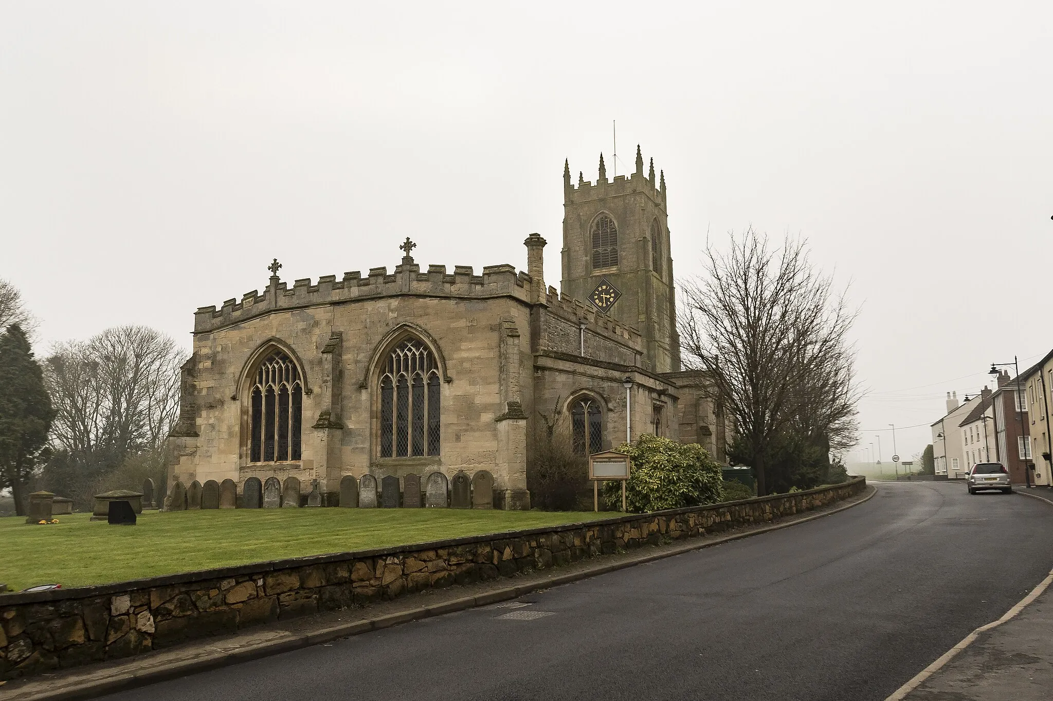
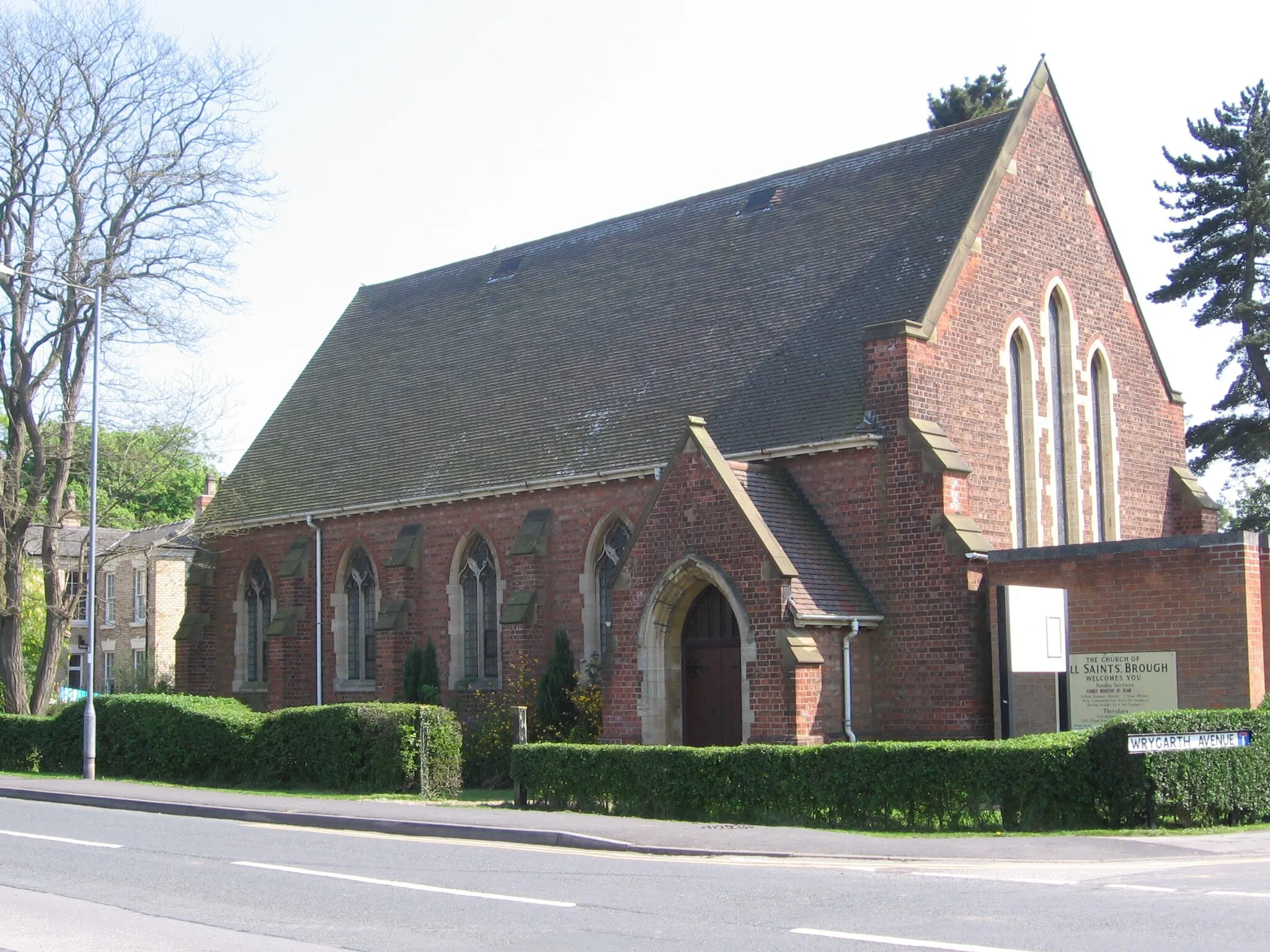
BroughVillageBrough, a town with a fascinating history and interesting architecture, is worth exploring during your ride.
75 km
75 km
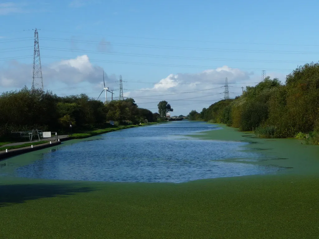
South FerribyVillageAs you pass through South Ferriby, take a moment to enjoy its peaceful setting and admire the Humber Bridge in the distance.
94 km
94 km
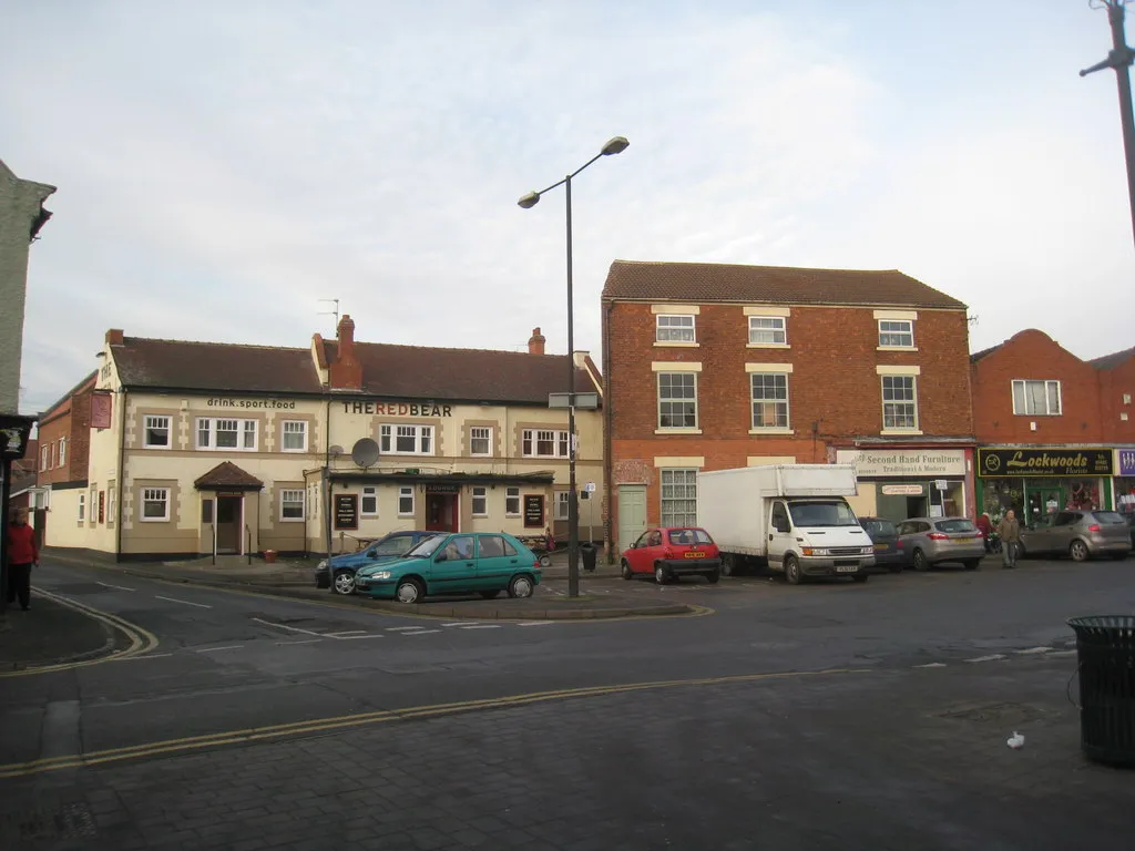
ScunthorpeTownScunthorpe, a major industrial town, offers various attractions and amenities for cyclists to explore.
109 km
109 km
BeltonVillageBelton itself is a charming village and serves as the starting and ending point of this cycling route.
110 km
110 km
Finish: Westgate Village centerBelton: Charming town with enjoyable countryside rides.
Cycling routes from Belton:
The Isle of Axholme Loop Belton Circle Road Cycling Route East Yorkshire Grand Loop Road Cycling Route The Humber Estuary Loop The Haxey Hilly Circuit Spur Road Cycling Route The Yorkshire Border Adventure Hibaldstow Highlights Road Cycling Route The North Lincolnshire Circuit Scenic Gravel Loop from Belton
Cycling routes nearby: