![Cover image](https://images.tarmacs.app/cycling-routes/covers/united-kingdom/east-yorkshire-and-northern-lincolnshire/snaith-4.webp)
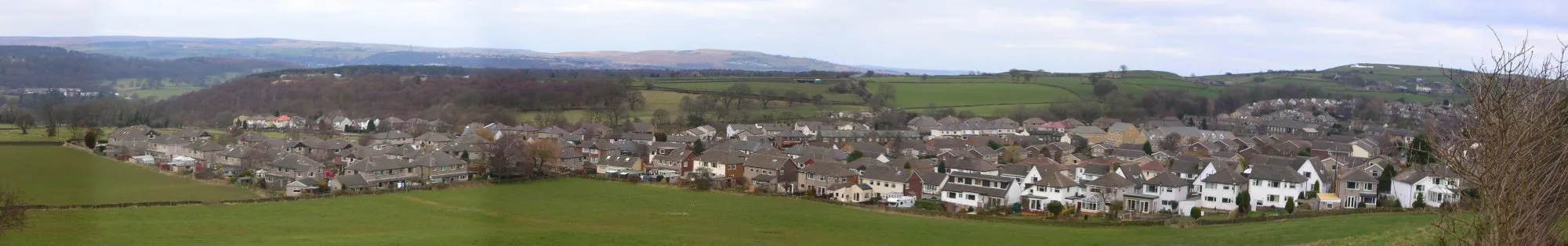
Enjoy a cycling adventure through the picturesque villages of Snaith, East Yorkshire
Cycling routes from Snaith
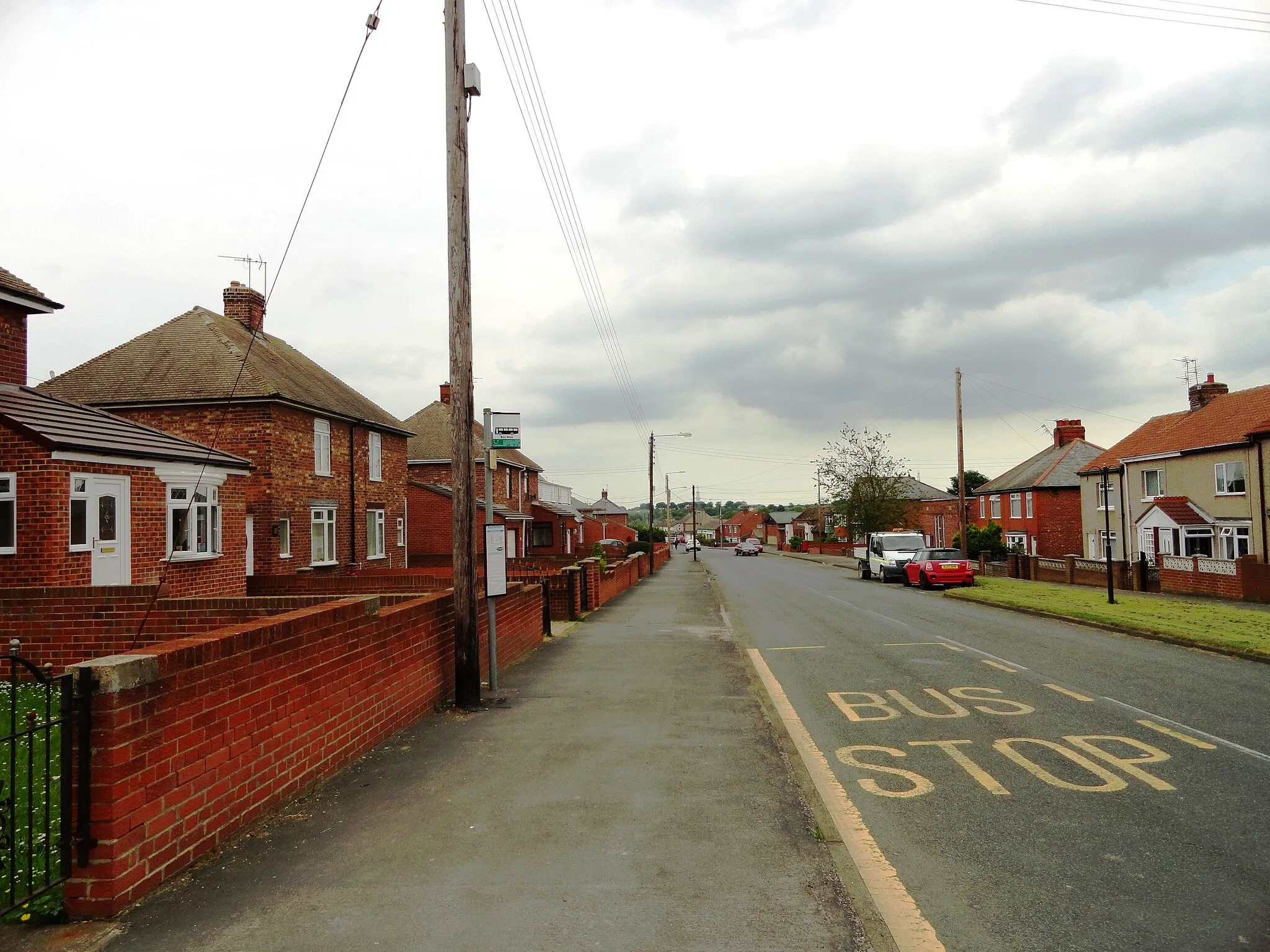
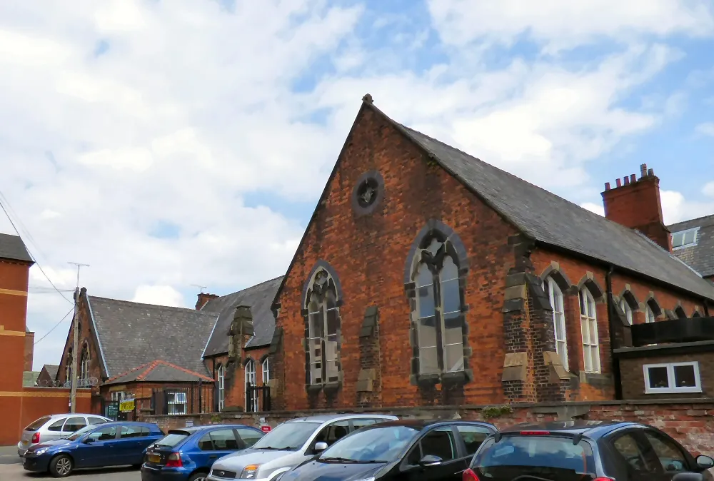
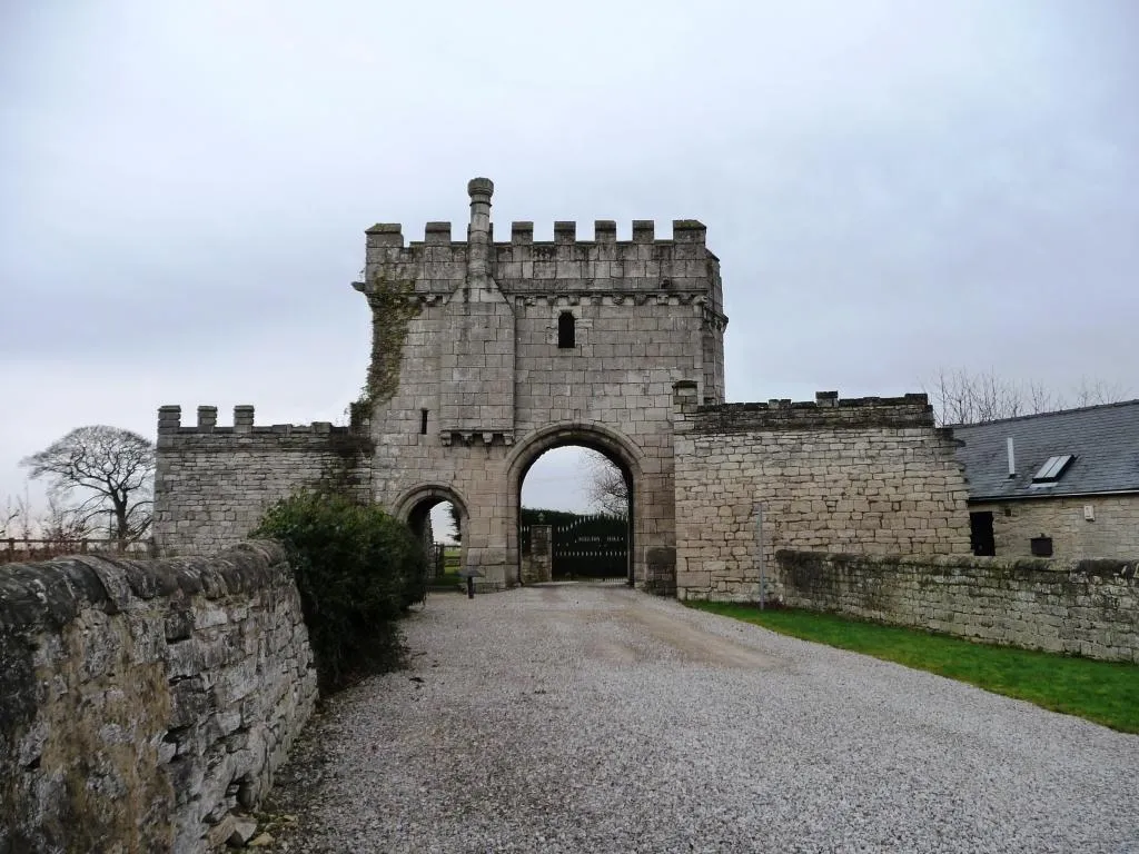
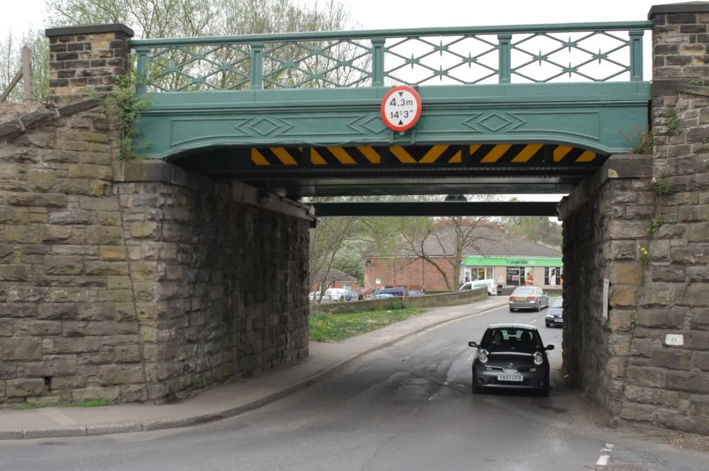
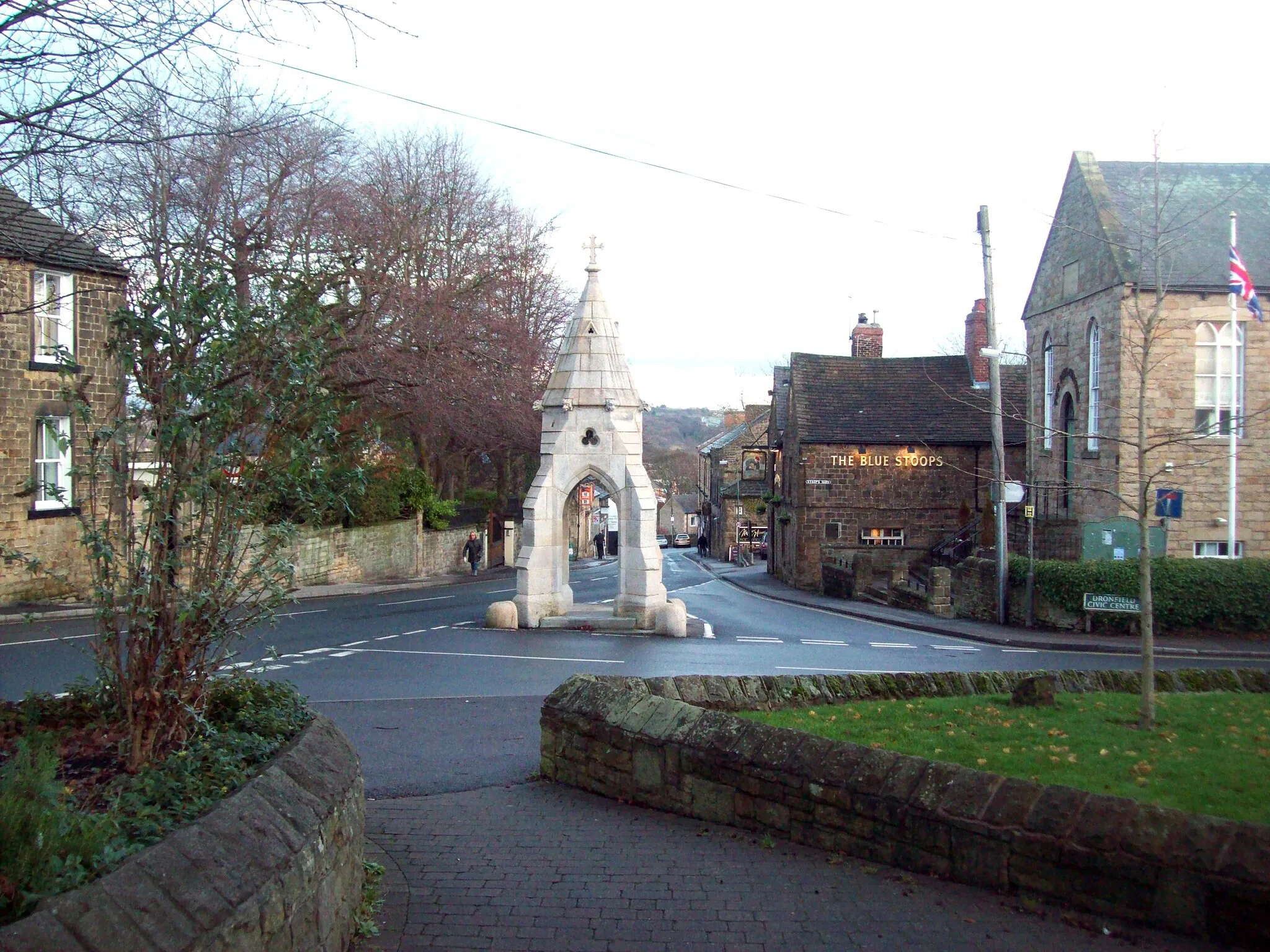
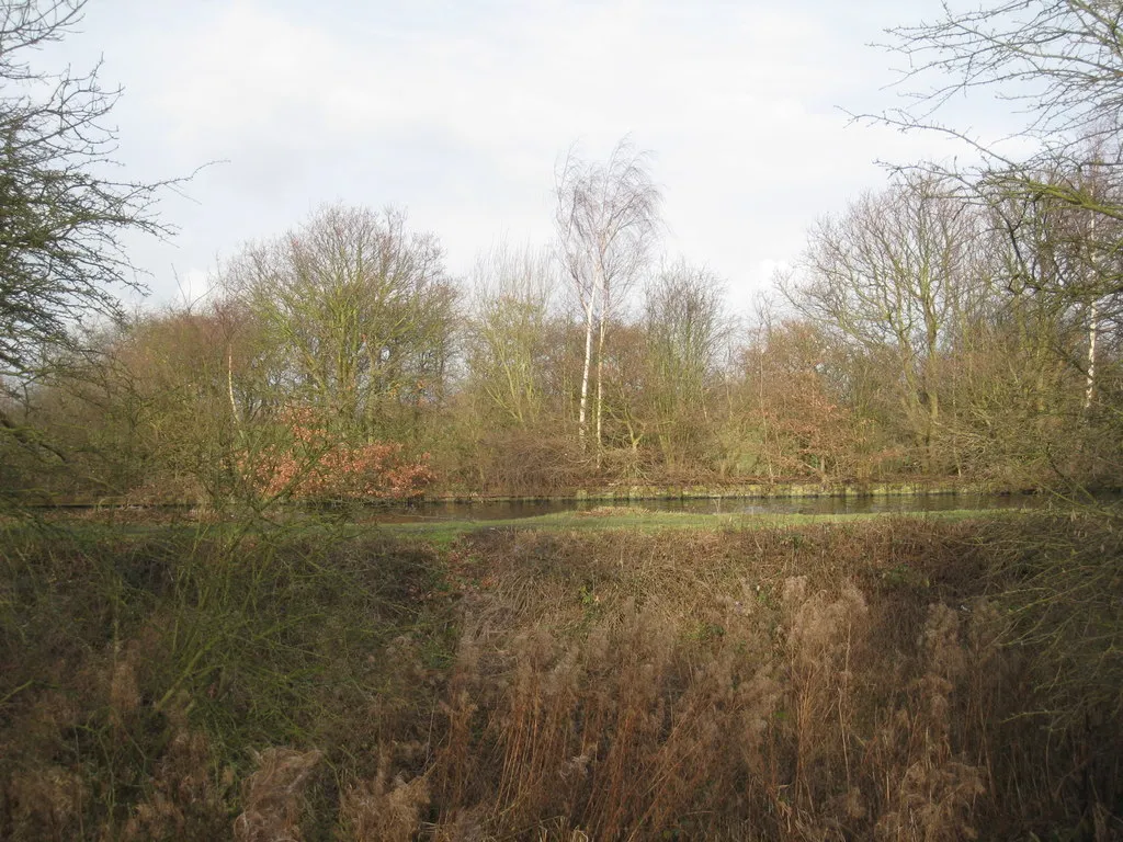
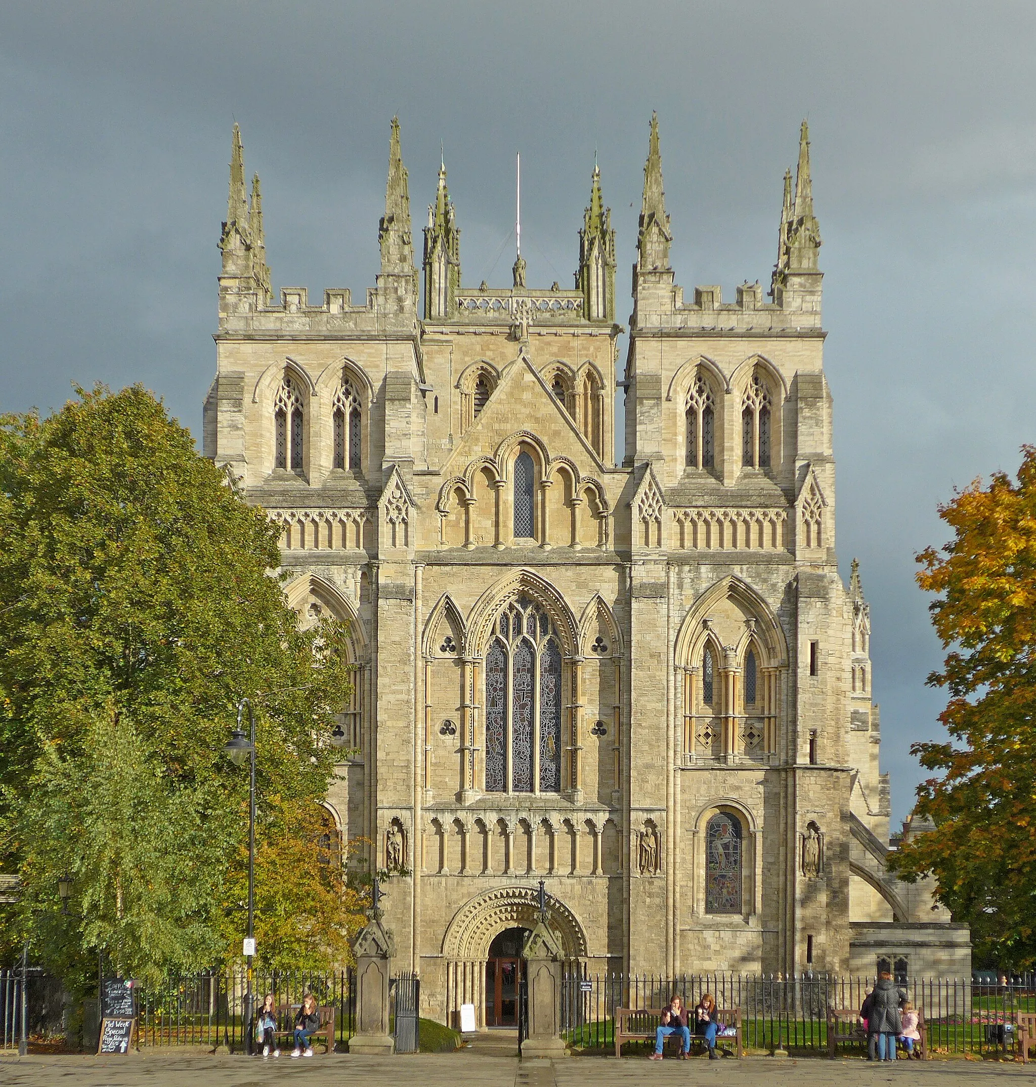
Snaith, located in East Yorkshire and Northern Lincolnshire, United Kingdom, offers a range of road and gravel cycling routes suitable for various levels of expertise. Cyclists can immerse themselves in the rural charm of the area, riding through picturesque villages and enjoying the tranquility of the countryside. Notable cycling spots near Snaith include the historic Snaith Priory, offering an interesting cultural diversion during a cycling trip. With its pleasant landscapes and accessible routes, Snaith provides an enjoyable cycling experience for riders of all skill levels.
![Map miniature of "Gowdall Gravel Adventure" cycling inspiration in East Yorkshire and Northern Lincolnshire, United Kingdom. Generated by Tarmacs.app cycling route planner](https://images.tarmacs.app/cycling-routes/routemaps/600/united-kingdom/east-yorkshire-and-northern-lincolnshire/snaith/gravel/78691.webp)
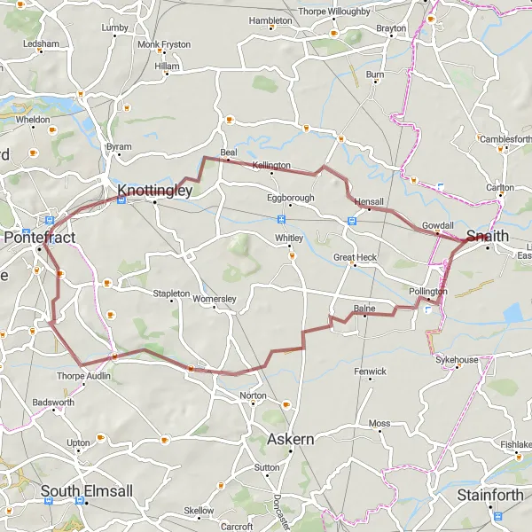
Embark on a thrilling 42 km gravel route, exploring Pollington, Eggborough, Beal, and Gowdall.
Get off-road and explore the picturesque landscapes of Gowdall in this exciting gravel adventure. With a total ascent of 65 meters, it offers a moderate challenge for those looking to push their limits. Enjoy the scenic countryside, charming villages, and ancient landmarks along the way.
![Map miniature of "Gravel Adventure around Balne" cycling inspiration in East Yorkshire and Northern Lincolnshire, United Kingdom. Generated by Tarmacs.app cycling route planner](https://images.tarmacs.app/cycling-routes/routemaps/600/united-kingdom/east-yorkshire-and-northern-lincolnshire/snaith/gravel/78697.webp)
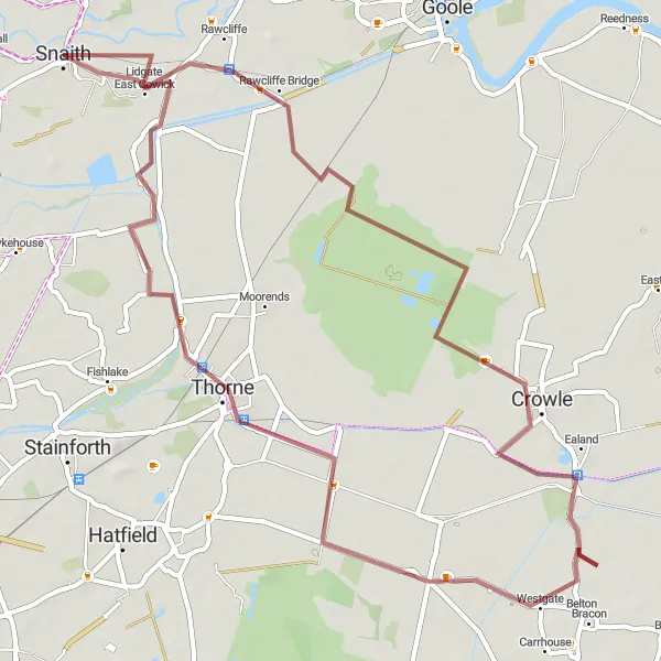
Embark on a thrilling gravel ride through the scenic surroundings of Balne
Get off the beaten path and set out on an adventurous gravel cycling journey near Snaith. This 51-kilometer route, with an elevation gain of 150 meters, guarantees an exciting ride for gravel enthusiasts. Immerse yourself in the natural beauty and tranquility of Balne and its surrounding areas, as you explore charming villages and rugged terrain.
![Map miniature of "Eastoft Excursion" cycling inspiration in East Yorkshire and Northern Lincolnshire, United Kingdom. Generated by Tarmacs.app cycling route planner](https://images.tarmacs.app/cycling-routes/routemaps/600/united-kingdom/east-yorkshire-and-northern-lincolnshire/snaith/road/78734.webp)
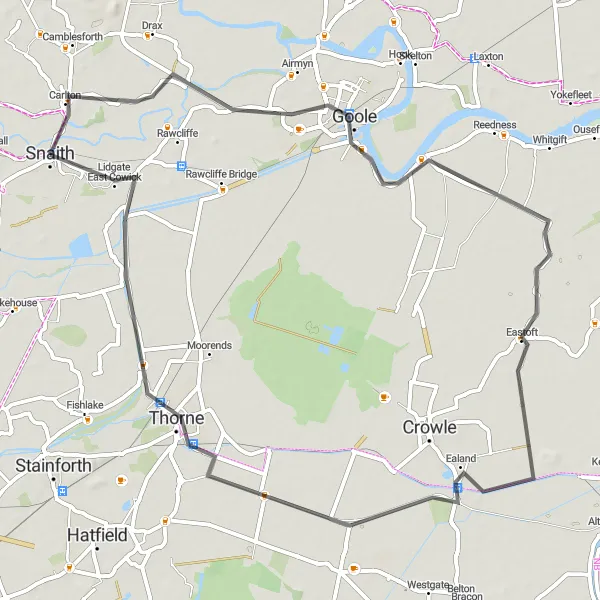
Embark on a delightful 60 km road route, exploring Goole, Eastoft, Ealand, Thorne, and West Cowick.
Immerse yourself in the beauty of East Yorkshire and Northern Lincolnshire with this charming road route. With a total ascent of 26 meters, it is suitable for cyclists of all levels. Enjoy the peacefulness of rural landscapes, discover quaint villages, and delight in the natural beauty of the area.
Bawtry Explorer
![Map miniature of "Bawtry Explorer" cycling inspiration in East Yorkshire and Northern Lincolnshire, United Kingdom. Generated by Tarmacs.app cycling route planner](https://images.tarmacs.app/cycling-routes/routemaps/600/united-kingdom/east-yorkshire-and-northern-lincolnshire/snaith/road/78724.webp)
Embark on an exhilarating 98 km road route, passing through Bawtry, Doncaster, Sykehouse, and West Cowick.
Experience the excitement of this road route as you traverse through charming towns and breathtaking landscapes. With a total ascent of 120 meters, it provides a challenging adventure perfect for well-trained amateurs. Discover the scenic highlights along the way, including historic market towns, picturesque nature reserves, and tranquil villages.
The Goole Adventure
![Map miniature of "The Goole Adventure" cycling inspiration in East Yorkshire and Northern Lincolnshire, United Kingdom. Generated by Tarmacs.app cycling route planner](https://images.tarmacs.app/cycling-routes/routemaps/600/united-kingdom/east-yorkshire-and-northern-lincolnshire/snaith/road/78707.webp)
Experience the rural beauty around Goole on this road cycling route
Embark on an exciting road cycling adventure near Snaith and explore the stunning countryside surrounding Goole. With a distance of 56 kilometers and an ascent of 18 meters, this route offers a pleasant and accessible ride for cyclists of all levels. Discover scenic landscapes, picturesque villages, and charming local attractions throughout the journey.
![Map miniature of "Delightful Road Cycling around Whitley" cycling inspiration in East Yorkshire and Northern Lincolnshire, United Kingdom. Generated by Tarmacs.app cycling route planner](https://images.tarmacs.app/cycling-routes/routemaps/600/united-kingdom/east-yorkshire-and-northern-lincolnshire/snaith/road/78673.webp)
Cycle through picturesque landscapes and experience the charm of Whitley
Uncover the beauty of East Yorkshire and Northern Lincolnshire with a delightful road cycling route starting near Snaith. Covering a distance of 71 kilometers and an ascent of 62 meters, this picturesque journey showcases the stunning landscapes of Whitley and its surrounding areas. Immerse yourself in the tranquility of the countryside and discover hidden gems along the way.
![Map miniature of "Snaith to Thorpe Willoughby Adventure" cycling inspiration in East Yorkshire and Northern Lincolnshire, United Kingdom. Generated by Tarmacs.app cycling route planner](https://images.tarmacs.app/cycling-routes/routemaps/600/united-kingdom/east-yorkshire-and-northern-lincolnshire/snaith/road/78693.webp)
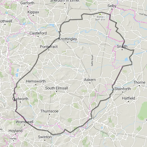
Embark on an exhilarating cycling adventure from Snaith to Thorpe Willoughby
Take on the challenge of this 108-kilometer road cycling route that extends from Snaith to Thorpe Willoughby. With an ascent of 393 meters, this route is suitable for experienced cyclists seeking a rewarding and demanding ride. Marvel at the diverse landscapes, visit historic sites, and soak in the scenic beauty along the way.
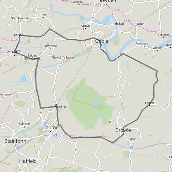
Goole Circuit
![Map miniature of "Goole Circuit" cycling inspiration in East Yorkshire and Northern Lincolnshire, United Kingdom. Generated by Tarmacs.app cycling route planner](https://images.tarmacs.app/cycling-routes/routemaps/600/united-kingdom/east-yorkshire-and-northern-lincolnshire/snaith/road/78714.webp)
Cycle through Goole, Garthorpe, Crowle, and Snaith in this 71 km road route.
This scenic road route takes you through the picturesque towns of Goole, Garthorpe, Crowle, and Snaith. Experience the charm of these historic settlements as you pedal along quiet country roads surrounded by beautiful countryside. With a total ascent of 24 meters, this route is suitable for cyclists of all levels. Take your time and enjoy the highlights along the route.
![Map miniature of "Epic Gravel Ride to Thorne" cycling inspiration in East Yorkshire and Northern Lincolnshire, United Kingdom. Generated by Tarmacs.app cycling route planner](https://images.tarmacs.app/cycling-routes/routemaps/600/united-kingdom/east-yorkshire-and-northern-lincolnshire/snaith/gravel/78682.webp)
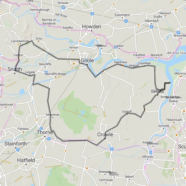
Embark on an epic gravel adventure leading you to the historic village of Thorne
Experience the thrill of gravel cycling with this 59-kilometer route near Snaith. With a moderate ascent of 12 meters, this journey takes you through picturesque landscapes, charming villages, and notable landmarks. Feel the adrenaline as you conquer gravel paths and embrace the rugged beauty of the surrounding area.
Belton Adventure
![Map miniature of "Belton Adventure" cycling inspiration in East Yorkshire and Northern Lincolnshire, United Kingdom. Generated by Tarmacs.app cycling route planner](https://images.tarmacs.app/cycling-routes/routemaps/600/united-kingdom/east-yorkshire-and-northern-lincolnshire/snaith/road/78695.webp)
Embark on an exciting 93 km road route, visiting Goole, Belton, Owston Ferry, Blaxton, Fishlake, and West Cowick.
Experience the thrill of this road route that takes you through a variety of landscapes, vibrant towns, and scenic countryside. With a total ascent of 74 meters, it offers a moderate challenge for well-trained amateurs. Enjoy the stunning highlights along the way, including charming villages, historical landmarks, and serene waterways.
Cycling routes nearby:
![Image of Camblesforth](https://images.tarmacs.app/cycling-routes/covers/united-kingdom/north-yorkshire/camblesforth-5.webp)
![Image of Rawcliffe](https://images.tarmacs.app/cycling-routes/covers/united-kingdom/east-yorkshire-and-northern-lincolnshire/rawcliffe-5.webp)
![Image of Brayton](https://images.tarmacs.app/cycling-routes/covers/united-kingdom/north-yorkshire/brayton-5.webp)
![Image of Hemingbrough](https://images.tarmacs.app/cycling-routes/covers/united-kingdom/north-yorkshire/hemingbrough-4.webp)
![Image of Thorne](https://images.tarmacs.app/cycling-routes/covers/united-kingdom/south-yorkshire/thorne-4.webp)
![Image of Goole](https://images.tarmacs.app/cycling-routes/covers/united-kingdom/east-yorkshire-and-northern-lincolnshire/goole-4.webp)
![Image of Stainforth](https://images.tarmacs.app/cycling-routes/covers/united-kingdom/south-yorkshire/stainforth-3.webp)
![Image of Selby](https://images.tarmacs.app/cycling-routes/covers/united-kingdom/north-yorkshire/selby-2.webp)
![Image of Askern](https://images.tarmacs.app/cycling-routes/covers/united-kingdom/south-yorkshire/askern-5.webp)
Nearby regions:
![Image of Tees Valley and Durham](https://images.tarmacs.app/cycling-routes/covers/united-kingdom/tees-valley-and-durham/kelloe-4.webp)
![Image of Greater Manchester](https://images.tarmacs.app/cycling-routes/covers/united-kingdom/greater-manchester/stockport-4.webp)
![Image of Lancashire](https://images.tarmacs.app/cycling-routes/covers/united-kingdom/lancashire/preston-3.webp)
![Image of North Yorkshire](https://images.tarmacs.app/cycling-routes/covers/united-kingdom/north-yorkshire/south-milford-5.webp)
![Image of South Yorkshire](https://images.tarmacs.app/cycling-routes/covers/united-kingdom/south-yorkshire/darton-4.webp)
![Image of West Yorkshire](https://images.tarmacs.app/cycling-routes/covers/united-kingdom/west-yorkshire/wilsden-5.webp)
![Image of Derbyshire and Nottinghamshire](https://images.tarmacs.app/cycling-routes/covers/united-kingdom/derbyshire-and-nottinghamshire/dronfield-1.webp)
![Image of Leicestershire, Rutland and Northamptonshire](https://images.tarmacs.app/cycling-routes/covers/united-kingdom/leicestershire-rutland-and-northamptonshire/queniborough-5.webp)
![Image of Lincolnshire](https://images.tarmacs.app/cycling-routes/covers/united-kingdom/lincolnshire/washingborough-3.webp)