Gateway to Cycling Paradise: Stamford Bridge in East Yorkshire and Northern Lincolnshire.
Cycling routes from Stamford Bridge
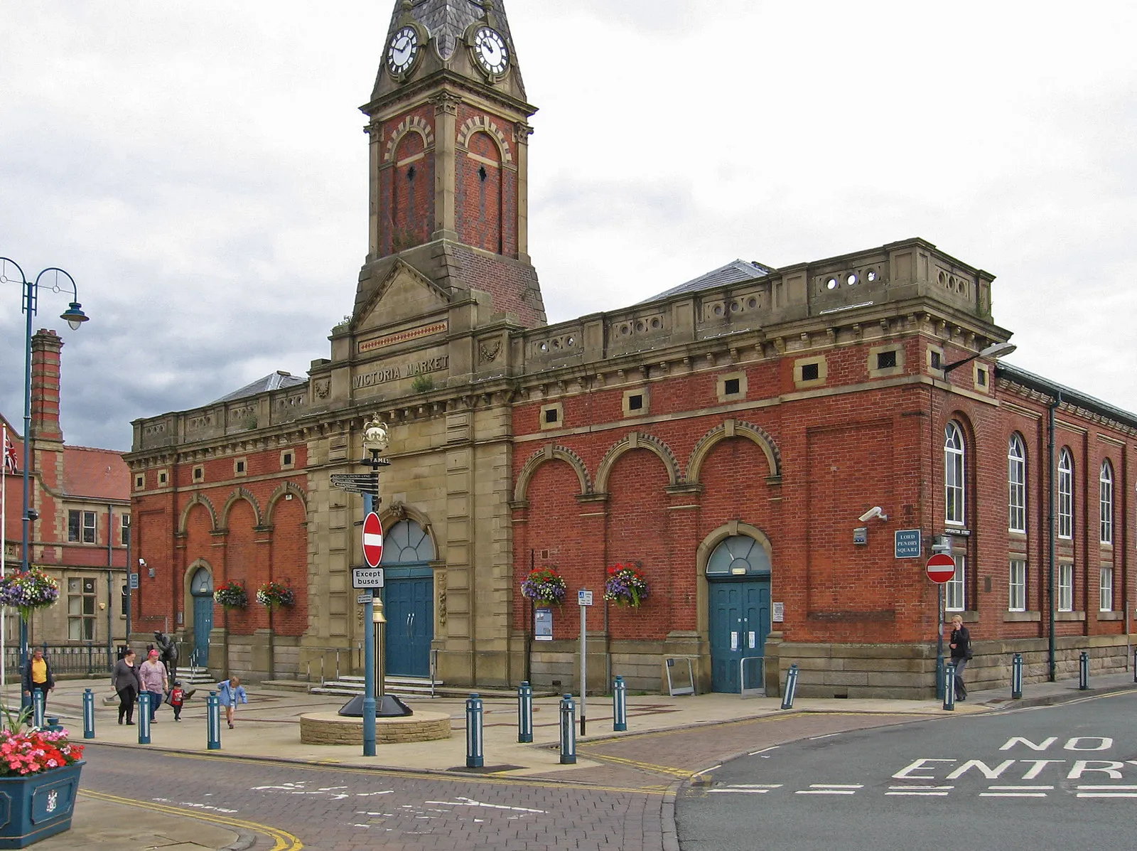
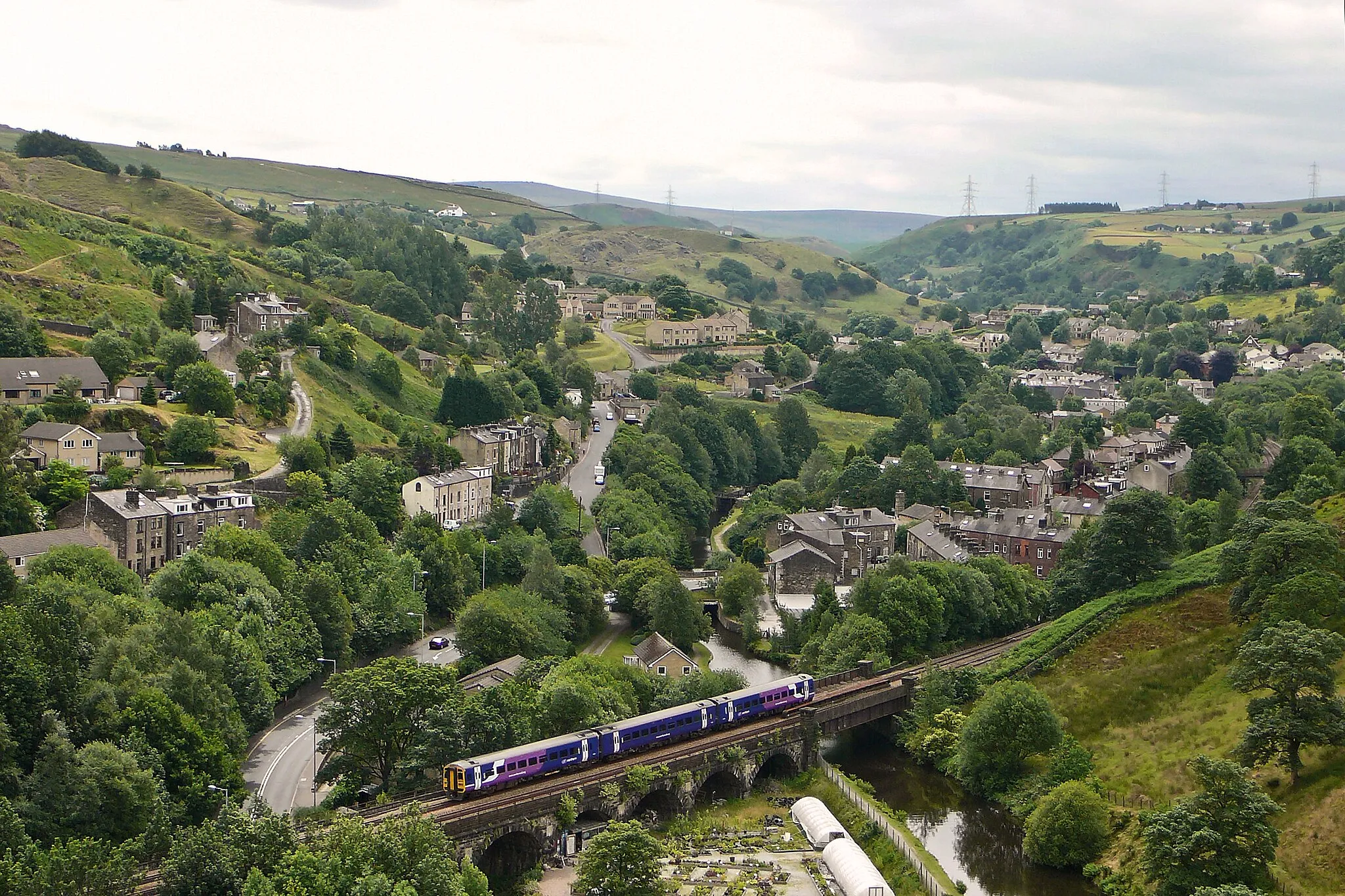
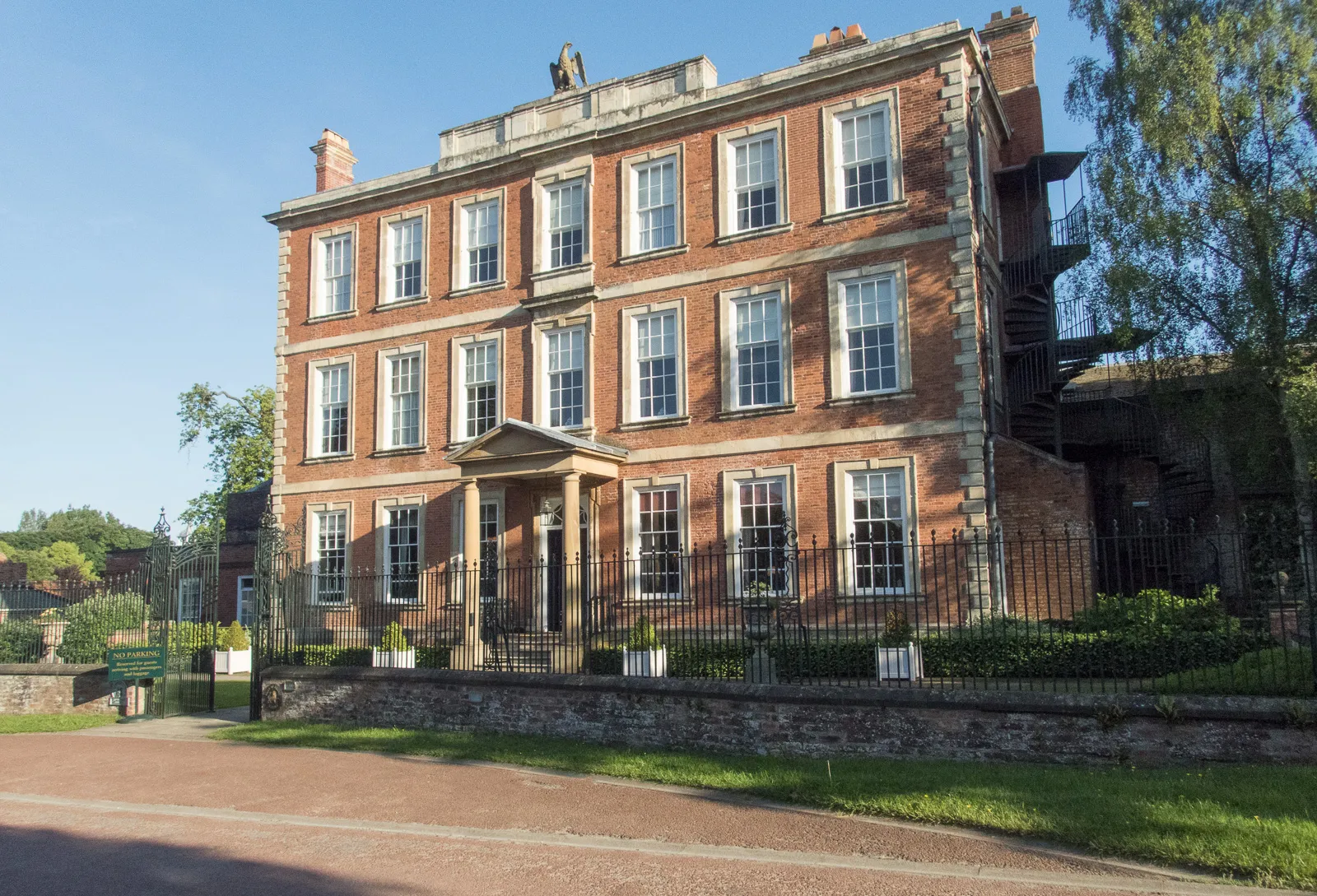
Stamford Bridge, located in East Yorkshire and Northern Lincolnshire, presents a thriving locality for road and gravel cyclists. The area offers varied cycling options, ranging from challenging climbs to scenic routes. A notable spot in Stamford Bridge is the Stamford Bridge Cricket Ground, which boasts picturesque surroundings and can be visited during a cycling excursion. Furthermore, the locality is close to other well-known cycling regions like the Yorkshire Wolds and the Howardian Hills. With its diverse cycling opportunities and well-connected routes, Stamford Bridge earns a ranking of 4 as a great cycling-friendly area.
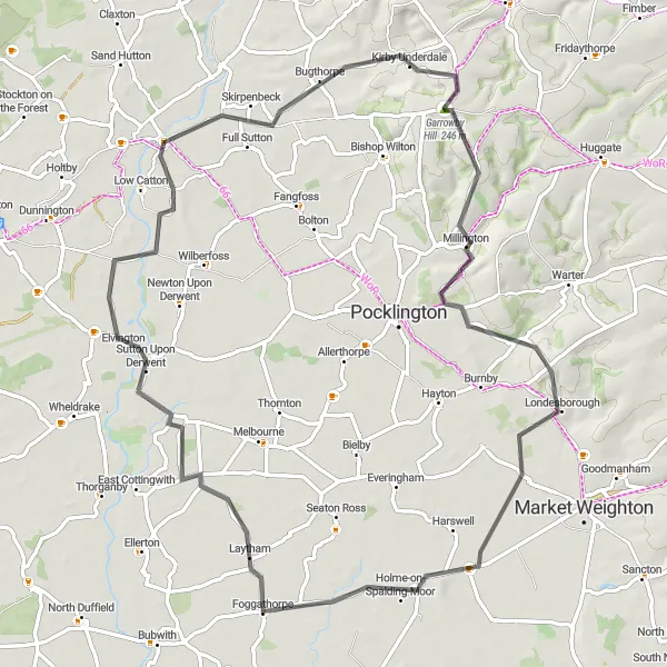
Take on the Full Sutton Challenge and conquer Garrowby Hill
The Full Sutton Challenge is a road cycling route that offers a thrilling adventure near Stamford Bridge. Covering a distance of 71 kilometers and featuring an ascent of 451 meters, this route provides a moderate to challenging experience for cyclists. The highlight of this route is Garrowby Hill, a steep and famous climb known among cyclists. Not only will you test your endurance and climbing skills, but you'll also be rewarded with breathtaking views of the surrounding countryside at the top. As you pedal further, you'll pass through the quaint village of Nunburnholme and beautiful landscapes of Foggathorpe before reaching Kexby. The Full Sutton Challenge is an excellent choice for cyclists seeking a combination of challenging terrain and scenic beauty.
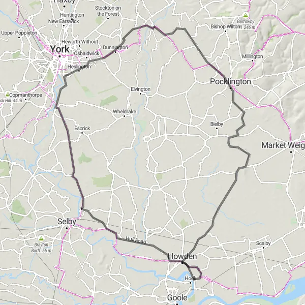
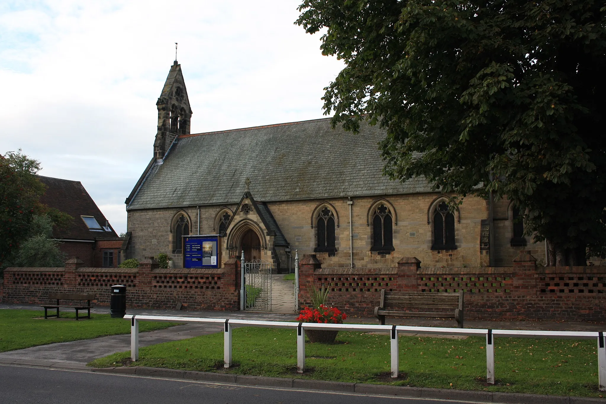
Discover the charming villages of Howden and Gate Helmsley
The Hemingbrough Loop is a road cycling route that takes you through the picturesque countryside near Stamford Bridge, providing an excellent opportunity to explore charming villages along the way. Covering a distance of 94 kilometers and featuring an ascent of 109 meters, this route offers a moderate challenge for cyclists. The highlights along the way include the historic market town of Howden, known for its beautiful Gothic Minster and charming streets lined with quaint shops and cafes. As you pedal further, you'll reach the village of Hemingbrough, where you can admire the stunning Gate Helmsley before concluding your journey. The Hemingbrough Loop is an ideal choice for cyclists seeking a mix of history, culture, and beautiful landscapes.
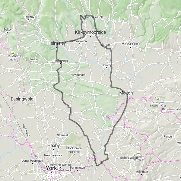
Explore the scenic countryside around Flaxton
The Flaxton Loop is a road cycling route that takes you through the picturesque countryside near Stamford Bridge. With a total distance of 106 kilometers and an ascent of 883 meters, this route offers a challenging yet rewarding ride. The highlights along the way include the charming village of Flaxton, known for its traditional cottages and historic church. As you pedal further, you will pass through the peaceful villages of Whenby, Helmsley, Hutton-le-Hole, Malton, and Full Sutton. Each village has its own unique character and provides a chance to experience the local culture. The Flaxton Loop is an ideal choice for cyclists looking to experience the tranquility of the East Yorkshire and Northern Lincolnshire region.
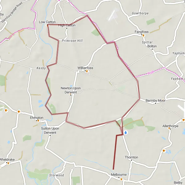
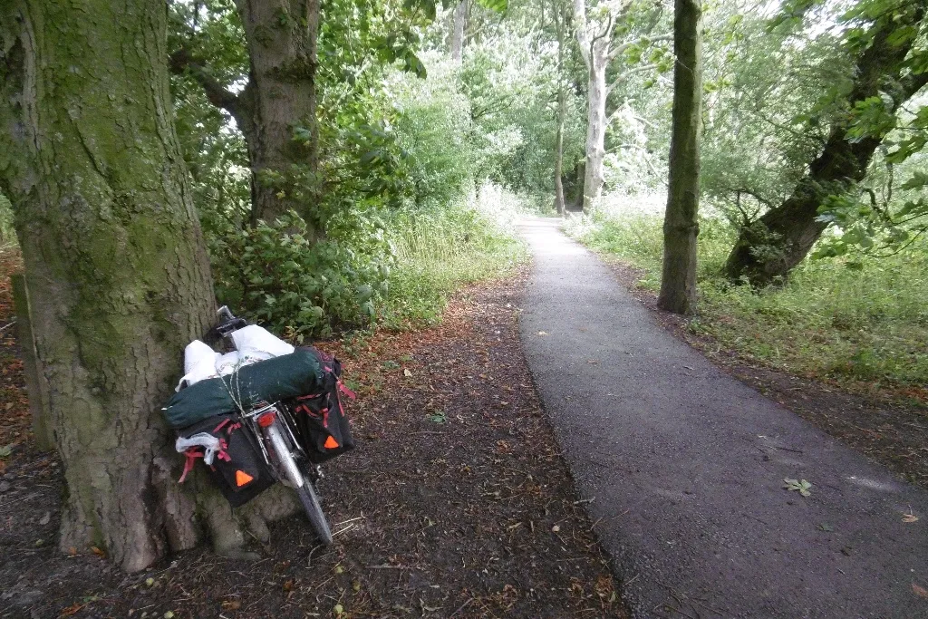
Experience the thrill of gravel biking in Melbourne
The Melbourne Gravel Ride is a 30-kilometer gravel route that offers a thrilling off-road cycling experience near Stamford Bridge. With a modest ascent of 59 meters, this route is suitable for beginners and gravel enthusiasts alike. Along the way, you'll encounter the small village of High Catton, which offers scenic views of the rolling hills and vast fields. As you pedal further, you'll reach the charming village of Melbourne, known for its historic architecture and quaint atmosphere. The Melbourne Gravel Ride is a great way to explore the rural beauty of the East Yorkshire and Northern Lincolnshire region.
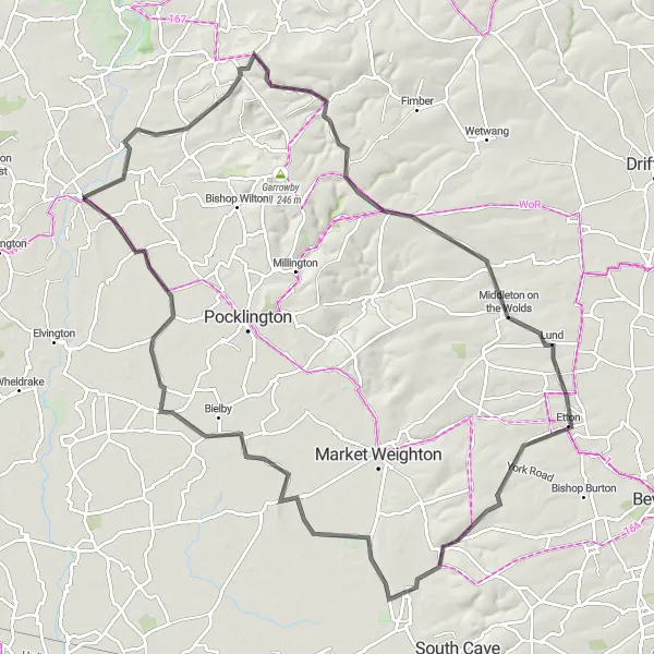
Wolds Way Challenge
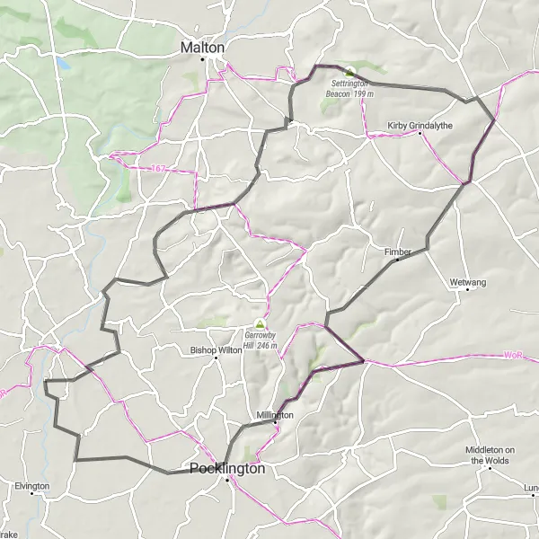
An adventurous ride through the scenic Yorkshire Wolds.
The Wolds Way Challenge is an adventurous cycling route that takes you through the breathtaking Yorkshire Wolds. The route is challenging with a total ascent of 752 meters over a distance of 85 kilometers. It is suitable for road bikes and offers spectacular views of the rolling hills and picturesque countryside. Highlights of the route include Settrington Beacon, a hill with panoramic vistas, and Sledmere, a charming village with historic buildings. The highlight of the route is Primrose Hill, a legendary climb known for its steep gradient and rewarding views from the top. Overall, the Wolds Way Challenge offers a thrilling cycling experience amidst stunning natural landscapes.
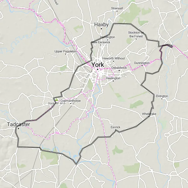
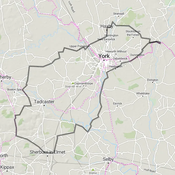
Embark on a scenic road cycling adventure around Wheldrake
The Wheldrake Escape is a road cycling route that takes you on a scenic journey around Wheldrake near Stamford Bridge. Covering a distance of 80 kilometers and featuring an ascent of 148 meters, this route offers a moderate challenge for cyclists. The highlights along the way include the charming village of Wheldrake, nestled on the banks of the River Derwent. As you ride further, you'll pass through Stock Hill, which offers stunning views of the surrounding countryside. Continuing your journey, you'll encounter Askham Bryan, known for its picturesque landscapes and historic buildings. The route also takes you through New Earswick, a charming village with a rich history. The Wheldrake Escape is a perfect choice for cyclists seeking a mix of natural beauty and cultural experiences.
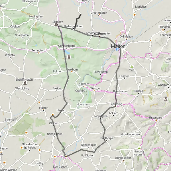
A scenic ride through countryside with a visit to Castle Howard.
The Castle Howard Loop is a picturesque route that takes you through beautiful countryside and provides an opportunity to visit the famous Castle Howard. The route is moderately challenging with a total ascent of 480 meters over a distance of 61 kilometers. It is suitable for road bikes and offers stunning views along the way. Highlights of the route include Barton le Street, a charming village with traditional architecture, and Norton-on-Derwent, a historic market town with interesting landmarks. The highlight of the route is Castle Howard, a magnificent stately home with beautiful gardens and impressive architecture. Overall, the Castle Howard Loop offers a delightful cycling experience with a touch of history and natural beauty.
Wolds and Humber
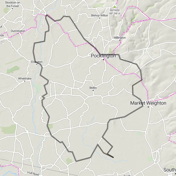
Experience the stunning landscapes of the Yorkshire Wolds and Humber Estuary.
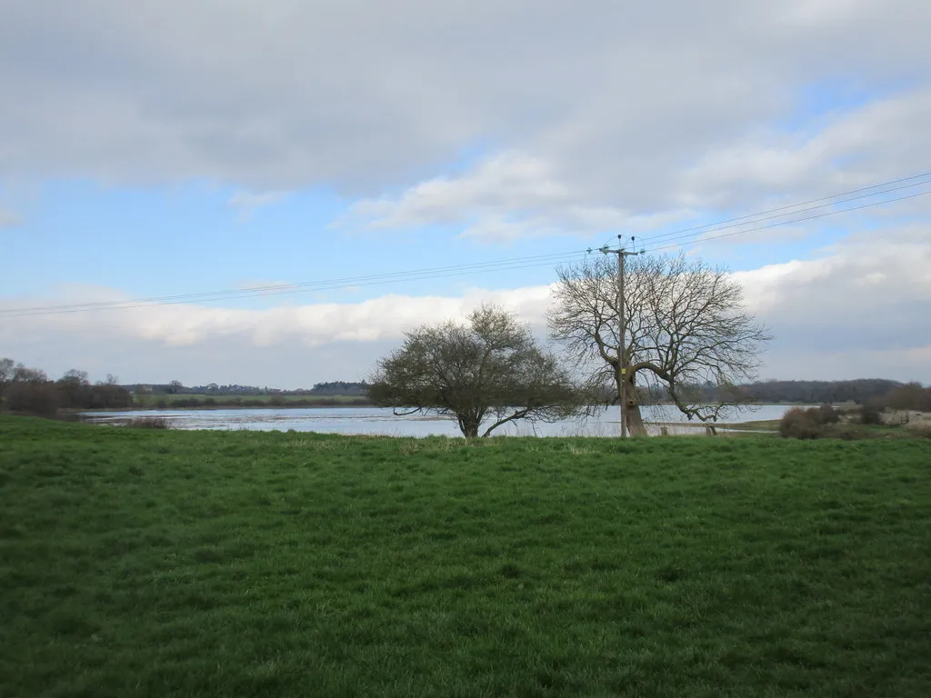
The Wolds and Humber route offers a captivating journey through the stunning landscapes of the Yorkshire Wolds and along the picturesque Humber Estuary. The route is relatively easy with a total ascent of 255 meters over a distance of 81 kilometers. It is suitable for road bikes and provides an opportunity to explore charming villages and enjoy panoramic views. Highlights of the route include Shiptonthorpe, a quaint village with traditional architecture, and Willitoft, a peaceful hamlet surrounded by beautiful countryside. The highlight of the route is Kexby, a picturesque village with breathtaking views over the Humber Estuary. Overall, the Wolds and Humber route showcases the beauty of both coastal and rural landscapes in the region.
Discover the scenic waterways of Yorkshire.
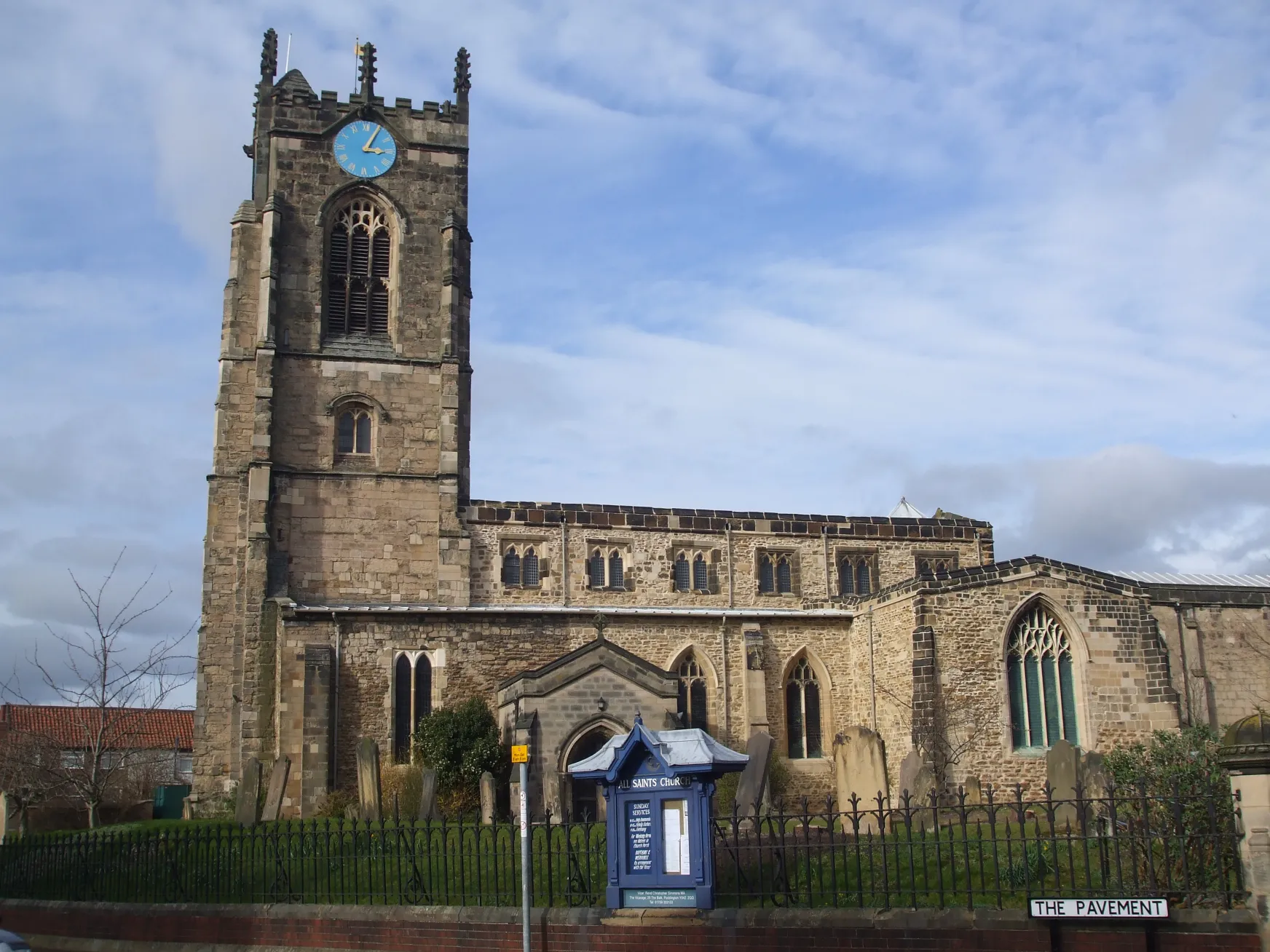
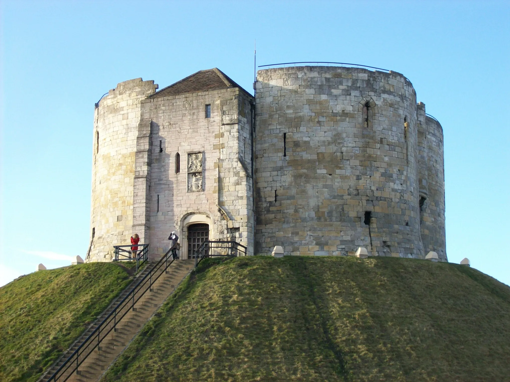
The Yorkshire Waterways route takes you on a captivating journey along the scenic waterways of Yorkshire. The route is easy with a total ascent of 281 meters over a distance of 101 kilometers. It is suitable for road bikes and offers a mix of peaceful canal paths and picturesque villages. Highlights of the route include Fulford, a historic village with a fascinating history, and Long Marston, a quaint village with idyllic surroundings. The highlight of the route is Cawood, a charming village on the banks of the River Ouse, known for its historic castle ruins. Overall, the Yorkshire Waterways route provides a peaceful and enjoyable cycling experience along scenic waterways.
Wolds Explorer
Explore the diverse landscapes of the Yorkshire Wolds.
The Wolds Explorer is a scenic route that allows you to explore the diverse landscapes of the Yorkshire Wolds. The route is moderately challenging with a total ascent of 545 meters over a distance of 96 kilometers. It is suitable for road bikes and offers a mix of rolling hills, charming villages, and wide-open fields. Highlights of the route include Huggate, a quaint village tucked away in a peaceful valley, and Bielby, a picturesque village with a tranquil atmosphere. The highlight of the route is Acklam, a historic village known for its beautiful church and tranquil surroundings. Overall, the Wolds Explorer offers a chance to discover the beauty and tranquility of the Yorkshire Wolds.
Cycling routes nearby:
Nearby regions: