Exploring Scenic Landscapes in East Yorkshire
Cycling routes from Pocklington
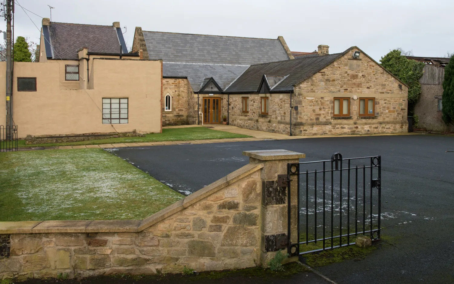
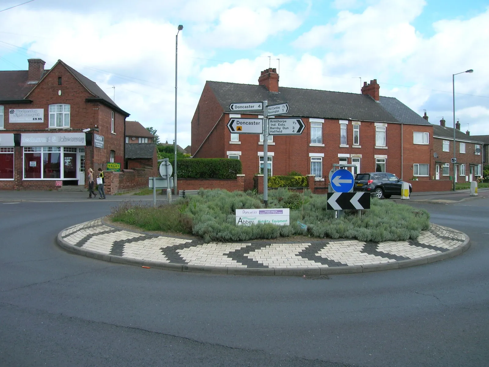
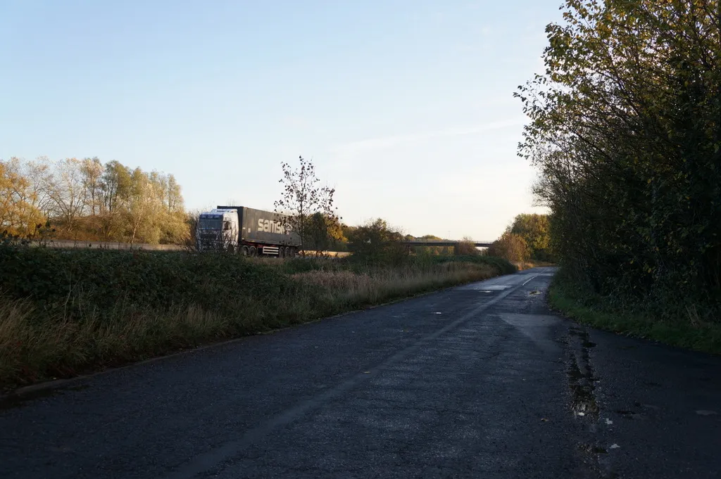
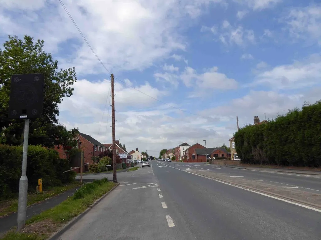
Pocklington, located in the East Yorkshire and Northern Lincolnshire region of the United Kingdom, offers diverse cycling routes for road and gravel cyclists. The area features a mix of flat roads and rolling hills, providing options for riders of all abilities. Pocklington is in close proximity to the Yorkshire Wolds, a designated Area of Outstanding Natural Beauty with scenic cycling trails. The town itself is known for its historic market square and traditional architecture. While there are no famous cycling-related spots or well-known climbs in Pocklington, its varied landscapes and charming surroundings make it an appealing destination for cyclists.
Pocklington and Surroundings
Explore the charming villages surrounding Pocklington
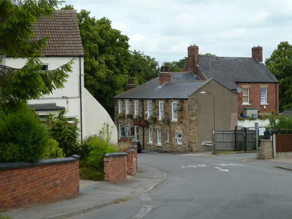
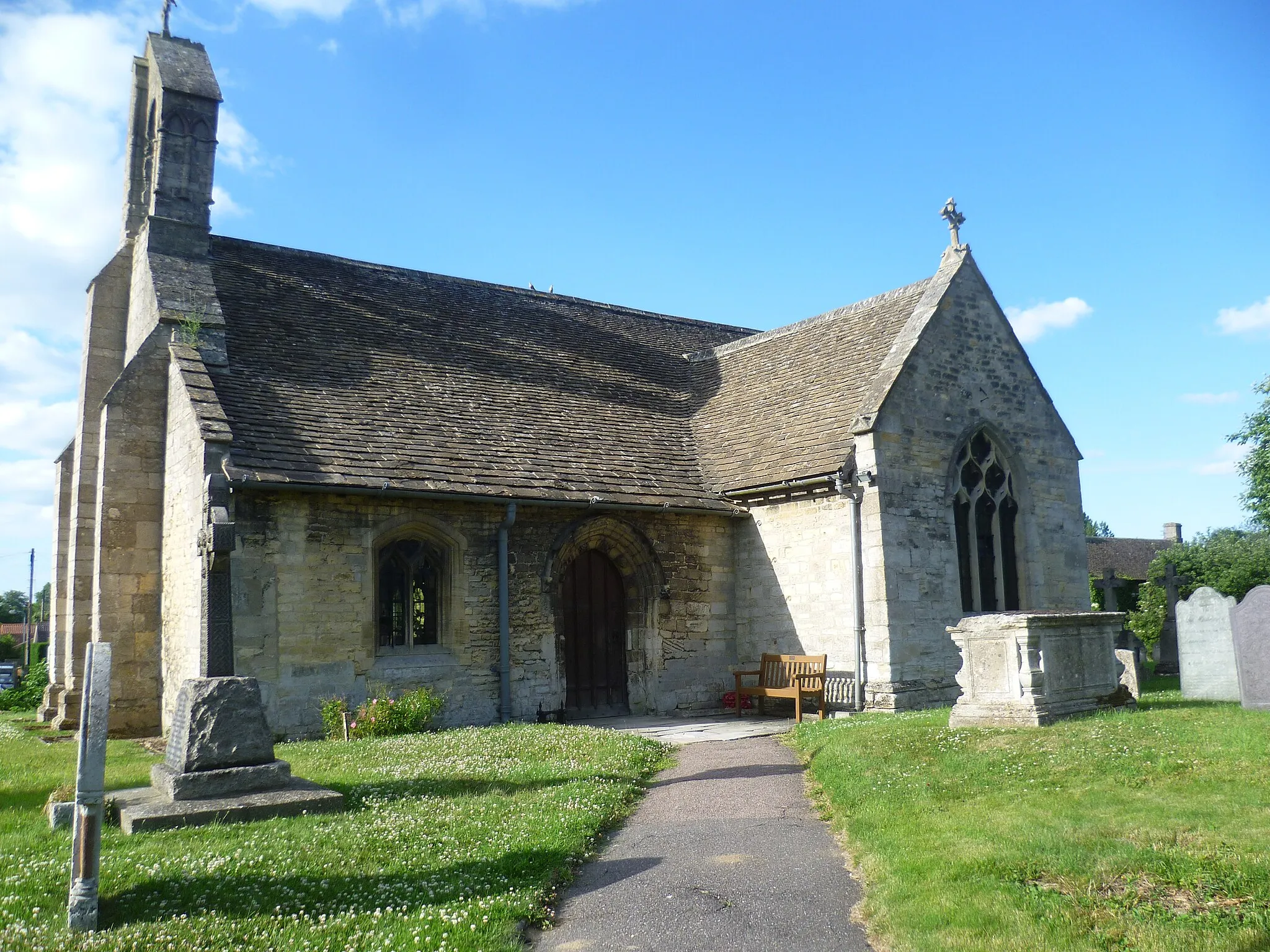
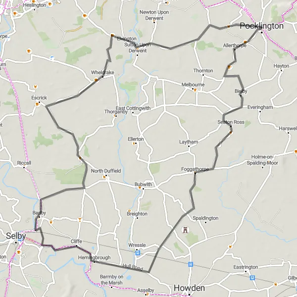
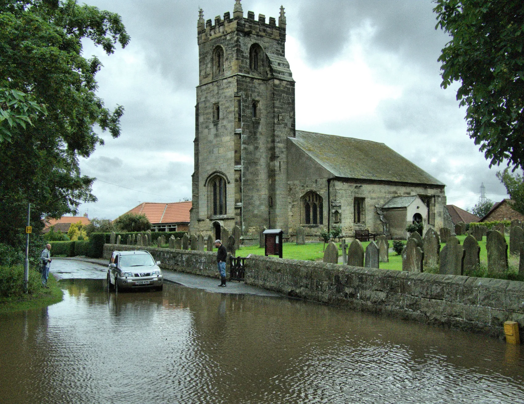
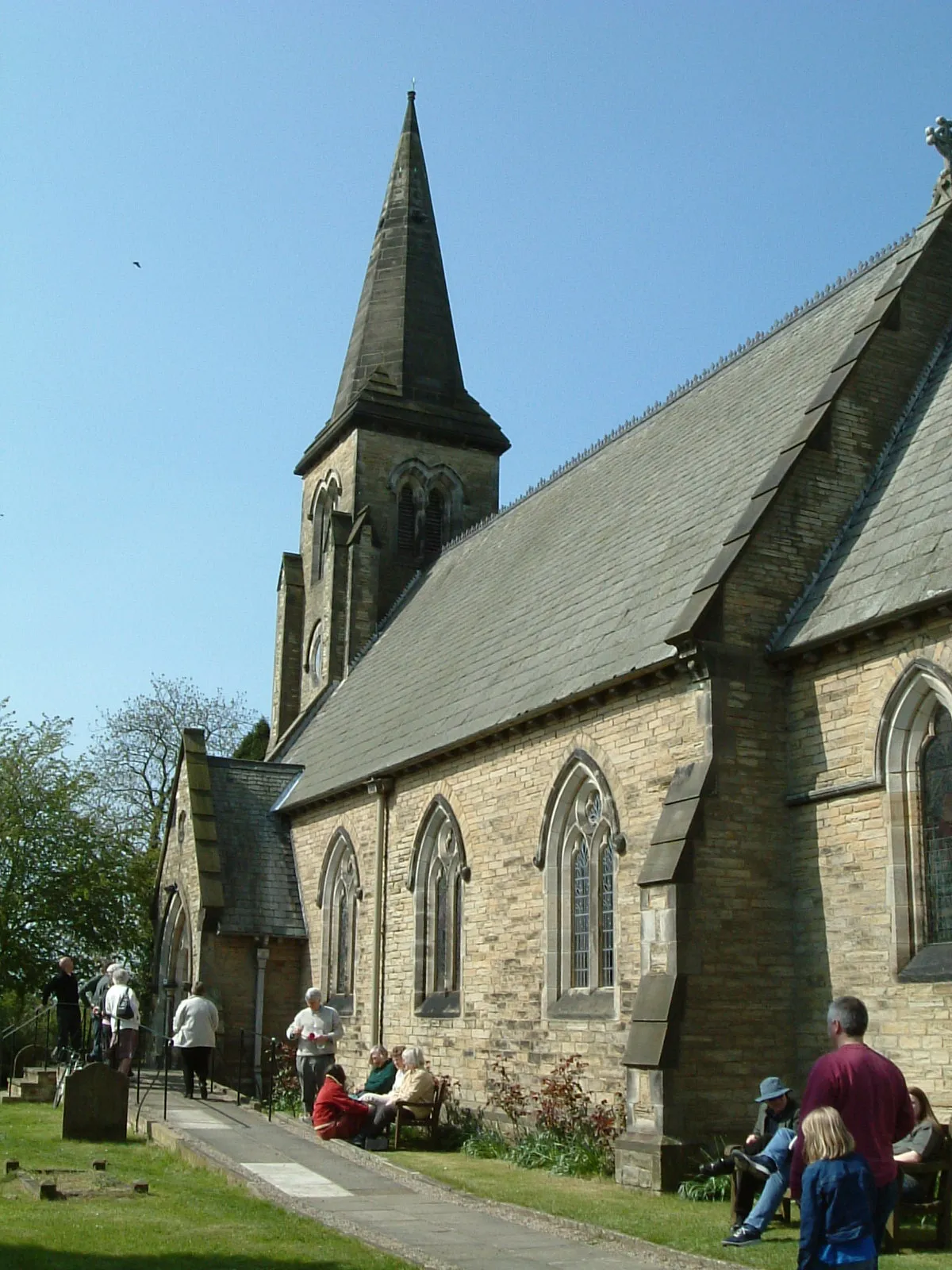
This route takes you through the picturesque countryside surrounding Pocklington, allowing you to explore charming villages along the way. With a total ascent of 62 meters and a distance of 75 kilometers, this route is suitable for both road and gravel bikes. The highlights of this route include Seaton Ross, a village known for its beautiful thatched cottages, RNAS Howden, a former naval air station with a fascinating history, Skipwith, a tranquil village surrounded by nature reserves, and Wheldrake, where you can visit the 12th-century St. Helen's Church.
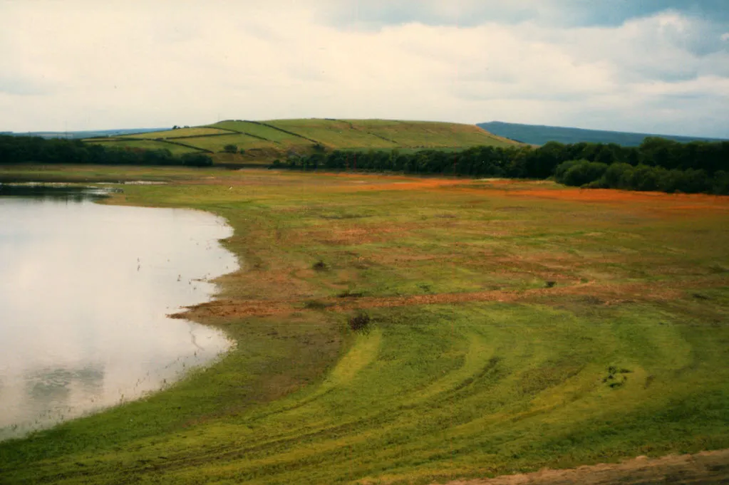
Discover the beauty of East Yorkshire with its stunning Wolds and Wetlands
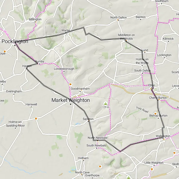
Experience the natural beauty of East Yorkshire with the Wolds and Wetlands cycling route. This road route covers a distance of 60 kilometers and includes scenic stretches through the stunning Yorkshire Wolds and charming villages. With a moderate ascent of 422 meters, it is suitable for intermediate cyclists. Highlights along the route include the tranquil village of Warter, the vibrant market town of Market Weighton, and the famous Burnby Hall Gardens. Score: The Wolds and Wetlands route features highlights with scores ranging from 4 to 5, showcasing the beauty of the region.
Get lost in the picturesque countryside around Pocklington.
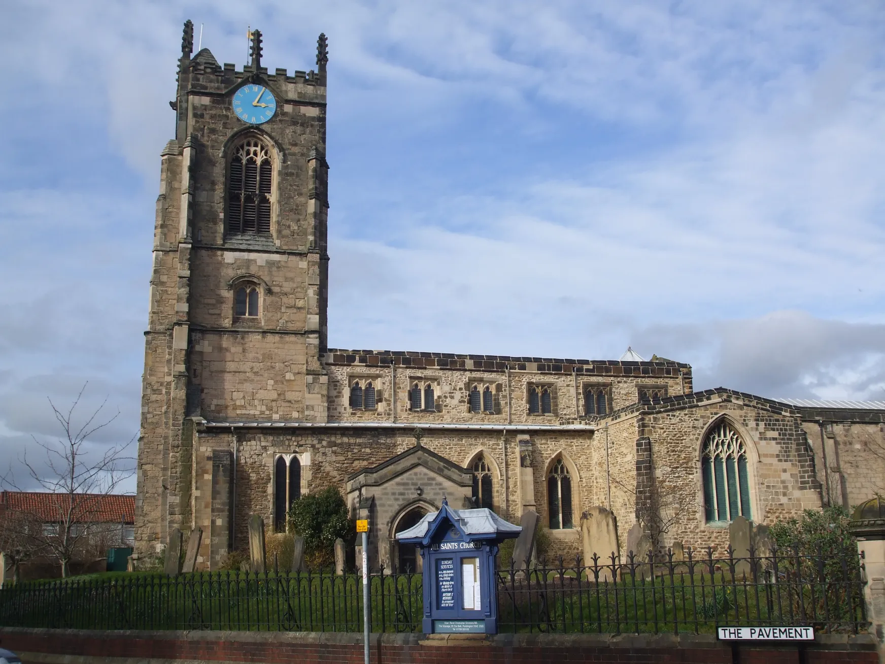
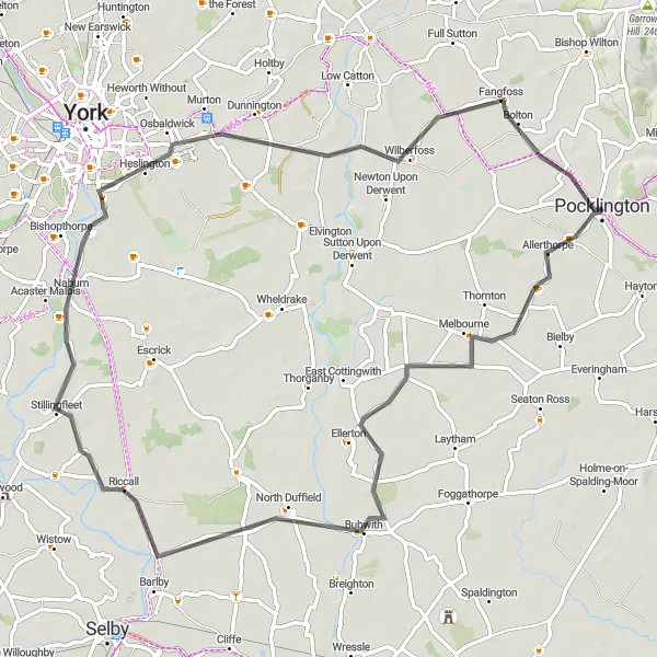
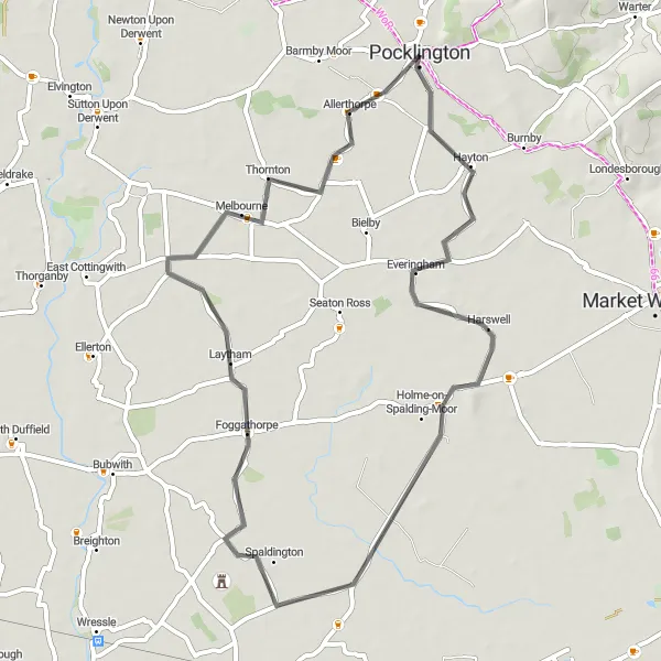
With a distance of 70 kilometers and an ascent of 87 meters, this route allows you to escape the hustle and bustle and immerse yourself in the peaceful countryside near Pocklington. Passing through the villages of Allerthorpe, Melbourne, Bubwith, Riccall, Fulford, Dunnington, Wilberfoss, and Bolton, you will enjoy scenic views and gentle rolling terrain. Highlights include Allerthorpe, where you can visit the tranquil Allerthorpe Woods and enjoy a peaceful break, Melbourne, a charming village with a lively market square, Bubwith, known for its medieval church and stunning views of the surrounding countryside, and Wilberfoss, home to a historic windmill and a welcoming community.
Bridges and Vistas
Cycle across iconic bridges and enjoy breathtaking vistas along the way
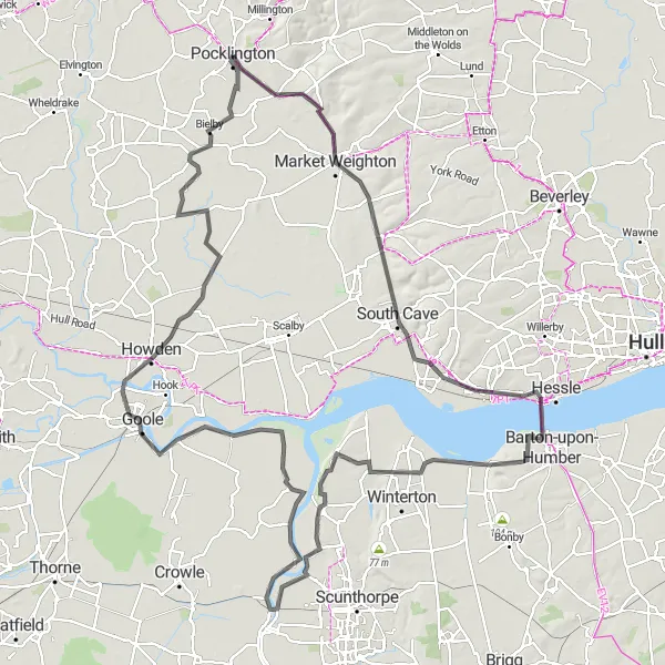
Experience the beauty of East Yorkshire and Northern Lincolnshire with the Bridges and Vistas cycling route. This road route covers a distance of 136 kilometers and includes several iconic bridges and scenic viewpoints. With a moderate ascent of 463 meters, it is suitable for cyclists looking for a challenge. Highlights along the route include the iconic Humber Bridge, Alkborough's stunning viewpoints, and the serene village of Amcotts. Score: The Bridges and Vistas route offers diverse highlights with scores ranging from 4 to 5. Cyclists can enjoy breathtaking vistas and discover hidden gems along the way.
Embark on a challenging journey through North Yorkshire's stunning landscapes
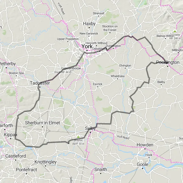
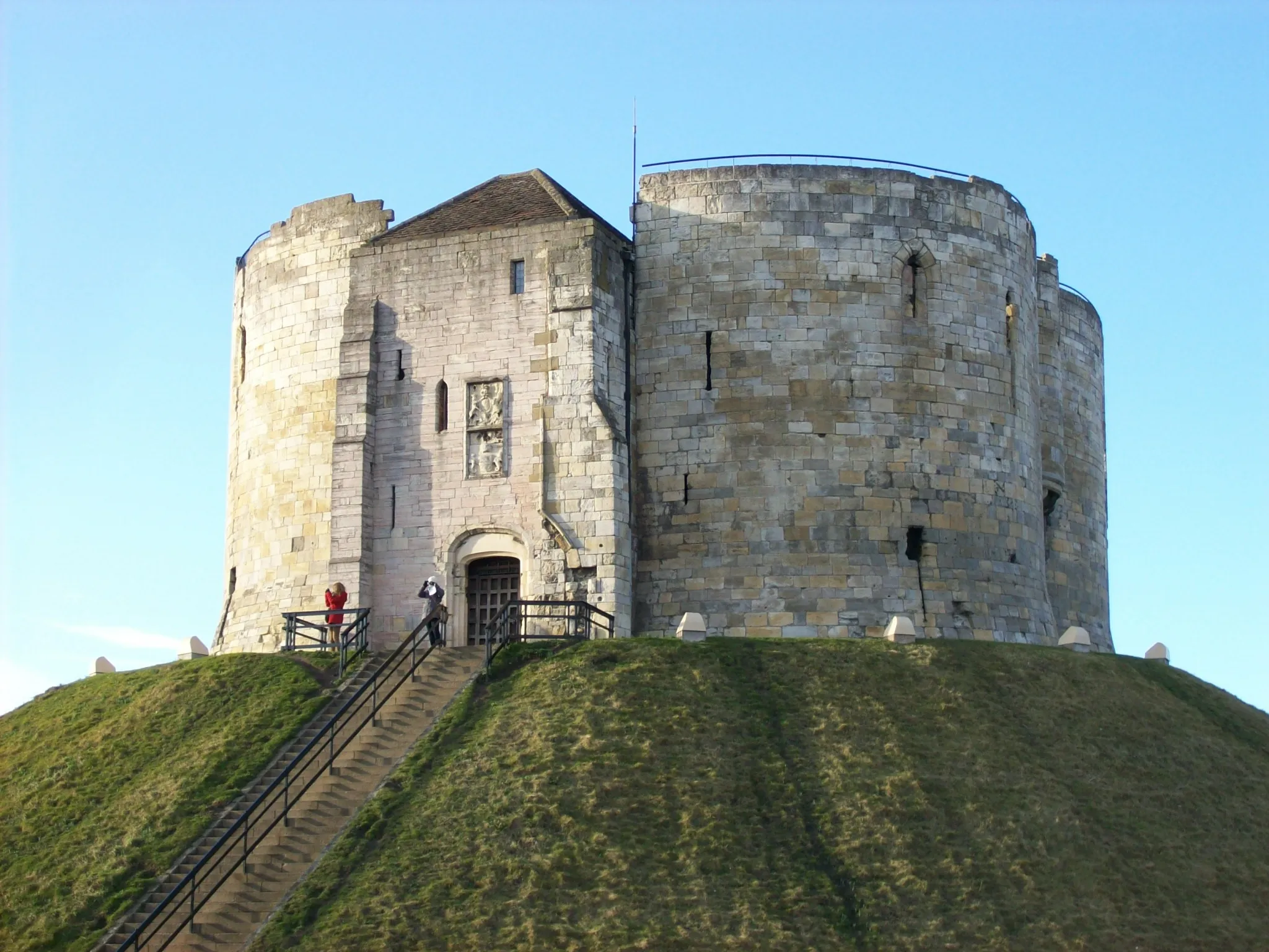
This challenging route covers a distance of 119 kilometers with an ascent of 306 meters. Starting near Pocklington, you will cycle through the beautiful countryside of North Yorkshire, passing through villages and towns such as Melbourne, North Duffield, Selby, and York. The route offers breathtaking views and diverse landscapes, from rolling hills to charming riverside paths. Highlights along the way include Melbourne, a historic village with a picturesque center, North Duffield, where you can explore the remains of the medieval moat and earthwork castle, Selby, home to Selby Abbey, a stunning medieval church, and York, a vibrant city steeped in history.
Explore the diverse landscapes and historic villages of the East Riding
Embark on a journey through the diverse landscapes and historic villages of the East Riding with the Tour of the East Riding cycling route. With an easy ascent of 99 meters and a distance of 65 kilometers, this road route is suitable for cyclists of all levels. Highlights along the route include the charming village of Elvington, the picturesque village of York, and the tranquil village of High Catton. Score: The Tour of the East Riding showcases highlights with scores ranging from 3 to 5, offering a mix of cultural and natural attractions.
Discovering East Yorkshire
Uncover the enchanting beauty of East Yorkshire's cycling routes.
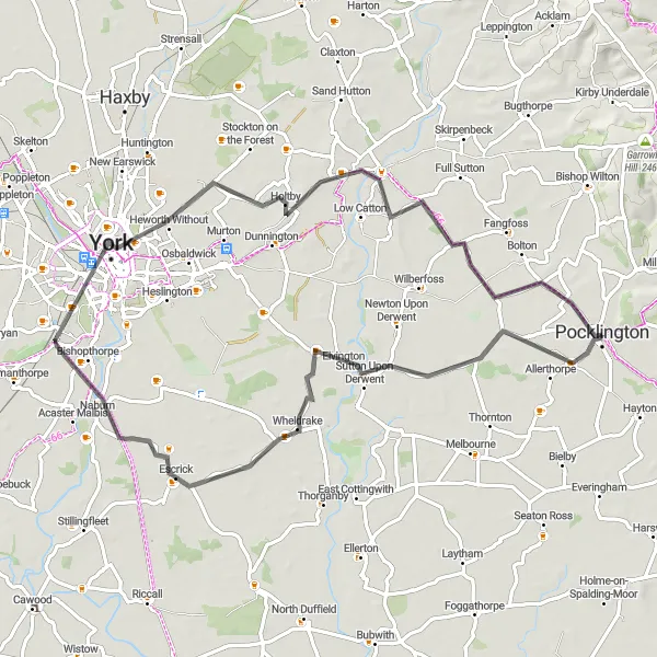
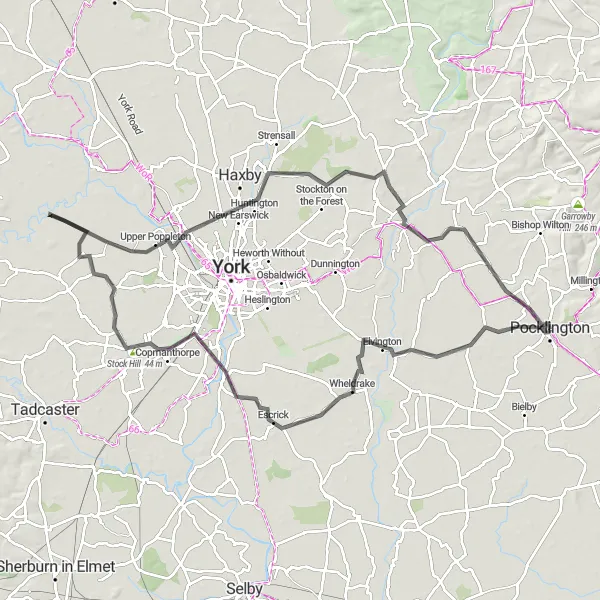
Taking you through the stunning landscapes of East Yorkshire, this 92-kilometer route features an ascent of 97 meters. Starting near Pocklington, you will cycle through Elvington, Naburn, Upper Poppleton, Towthorpe, and Fangfoss. The route showcases the area's natural beauty and highlights the charm of its picturesque villages. Step back in time as you explore sites like Elvington, known for its historic airfield, and rendezvous at popular gathering points like Fangfoss. This route offers a delightful mix of rural tranquility and vibrant community hubs, making it perfect for avid cyclists seeking adventure and exploration.
Explore the scenic countryside and charming villages near Pocklington
This round-trip cycling route takes you through the beautiful East Yorkshire countryside and several picturesque villages near Pocklington. The route offers a mix of flat and hilly terrain, providing a good challenge for amateur cyclists. Along the way, you'll pass through tranquil farmland, historic landmarks, and vibrant village centers.
Discover the rolling hills and picturesque villages of the Yorkshire Wolds.
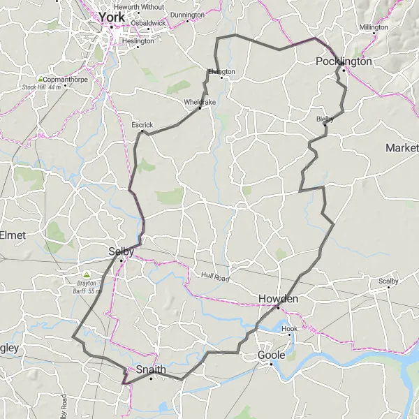
This 102-kilometer route takes you through the captivating landscapes of the Yorkshire Wolds, starting near Pocklington. With an ascent of 70 meters, the route offers gentle gradients, allowing you to soak in the beauty of this designated Area of Outstanding Natural Beauty. Highlights include Seaton Ross, a village known for its tranquil surroundings and charming cottages, Howden, home to the stunning Howden Minster and beautiful historic buildings, Snaith, a picturesque town with a colorful market square and historic landmarks, and Wheldrake, a village with delightful country lanes and a welcoming community.
Embark on an epic cycling adventure through the stunning Yorkshire Wolds
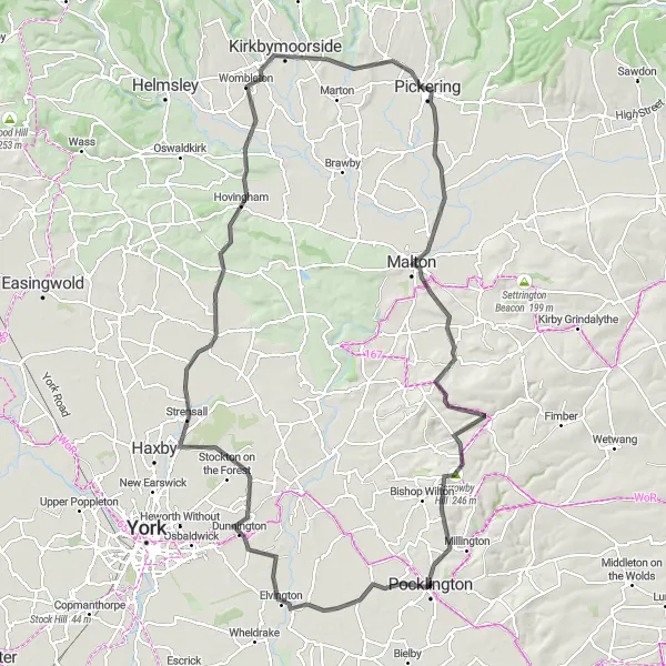
The Yorks and Wolds Challenge is a must-do route for experienced cyclists seeking an epic adventure. With a challenging ascent of 762 meters and a distance of 117 kilometers, this road route will push your limits. As you pedal through the rolling hills of the Yorkshire Wolds, you'll be rewarded with breathtaking views and charming villages. Highlights along the route include the historic village of Dunnington, the ancient Sheriff Hutton Castle, and the picturesque Kirkbymoorside. Score: The Yorks and Wolds Challenge is an epic route with highlights ranging from 4 to 5. These attractions are sure to captivate cyclists and showcase the beauty of the region.
Cycling routes nearby:

Nearby regions: