Picturesque countryside routes with excellent amenities in Gilberdyke.
Cycling routes from Gilberdyke
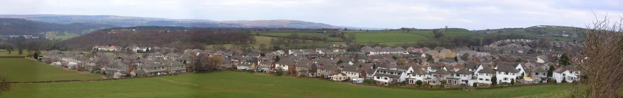
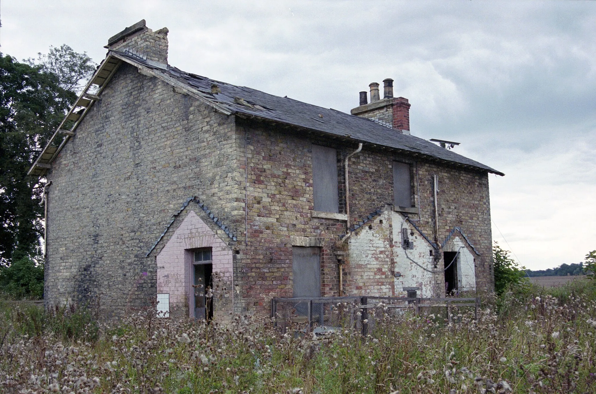
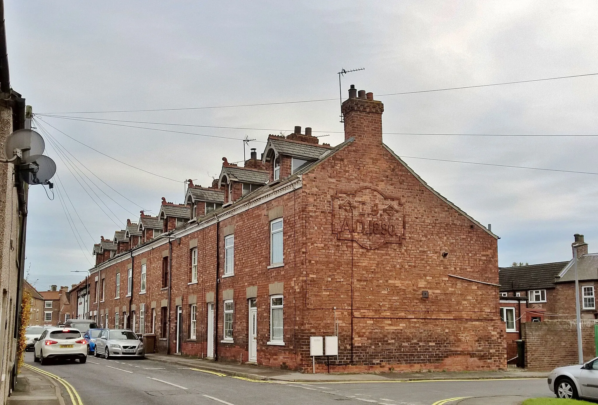
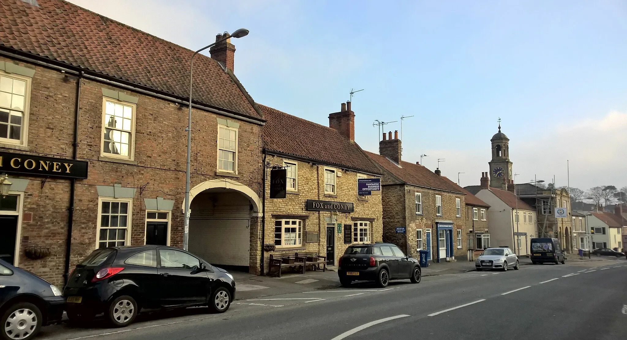
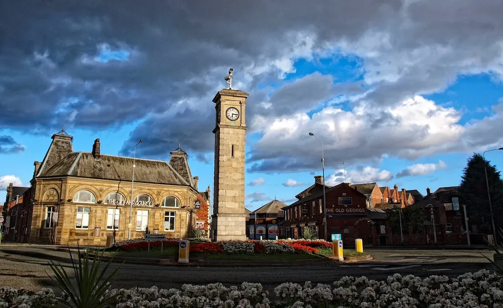
Gilberdyke, situated in the East Yorkshire and Northern Lincolnshire region of the United Kingdom, is a cyclist-friendly town with access to beautiful countryside routes. Road cyclists can enjoy the quiet lanes, while gravel cyclists can explore the nearby trails and nature reserves. The area is also known for its charming pubs and cafes, making it an excellent destination for a mid-ride break. Gilberdyke provides a perfect blend of rural landscapes and cyclist-friendly amenities.
Gilberdyke Gravel Adventure
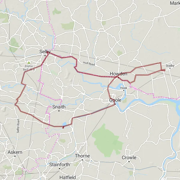
Embark on an off-road gravel adventure exploring the scenic landscape of the East Yorkshire
Experience the thrill of off-road cycling with this 83-kilometer gravel route starting near Gilberdyke. With a gentle ascent of 34 meters, it is suitable for all levels of cyclists. The route offers panoramic views of the East Yorkshire countryside and takes you through hidden gems along the way. This epicness of this route is rated at 3, as it provides a mix of natural beauty and tranquility.
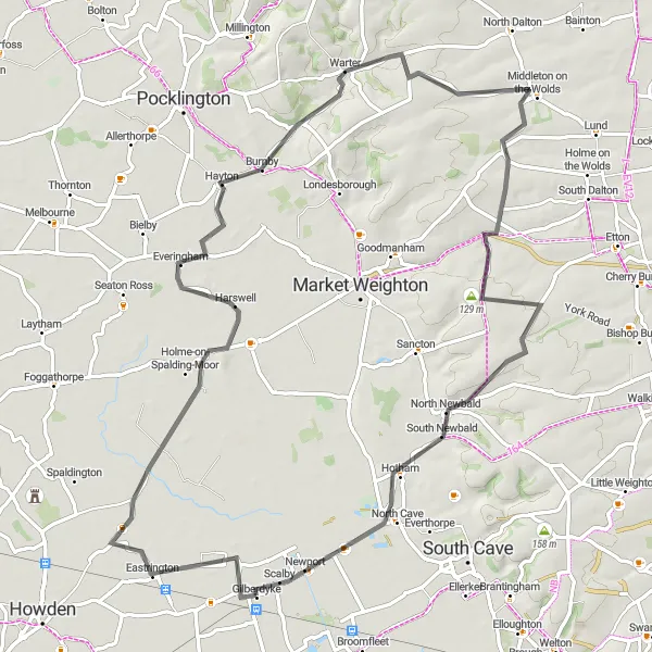
Discover the picturesque villages of Holme-on-Spalding-Moor and Warter on this scenic cycling loop.
Take a journey through the East Yorkshire countryside on this road cycling route that showcases the idyllic villages of Holme-on-Spalding-Moor and Warter. With a total distance of 75 kilometers and an elevation gain of 374 meters, this route offers a good balance of challenge and enjoyment. The rolling hills and charming rural landscapes make this an ideal route for well-trained amateur cyclists seeking a rewarding cycling adventure.
The Humber Bridge Ride
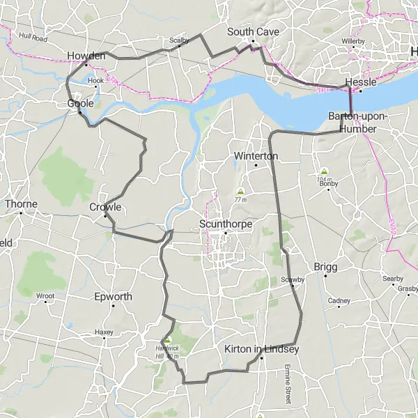
Cycle across the iconic Humber Bridge and explore the scenic landscapes of Lincolnshire and East Yorkshire.
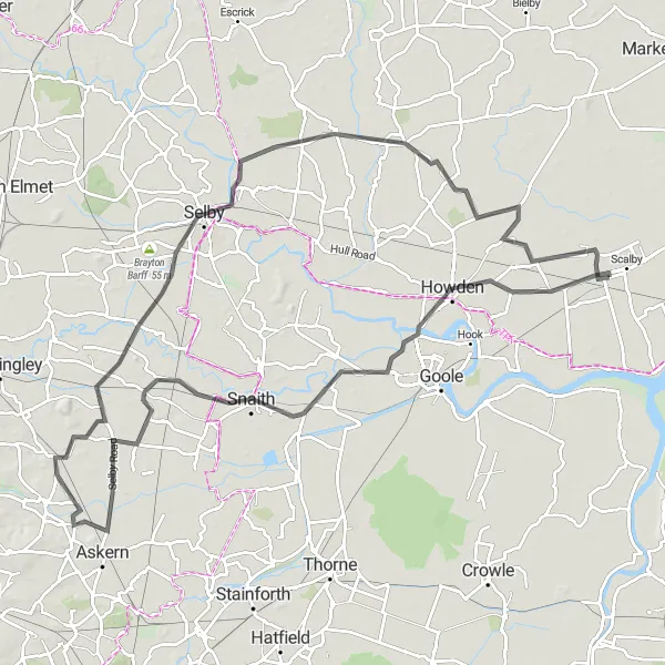
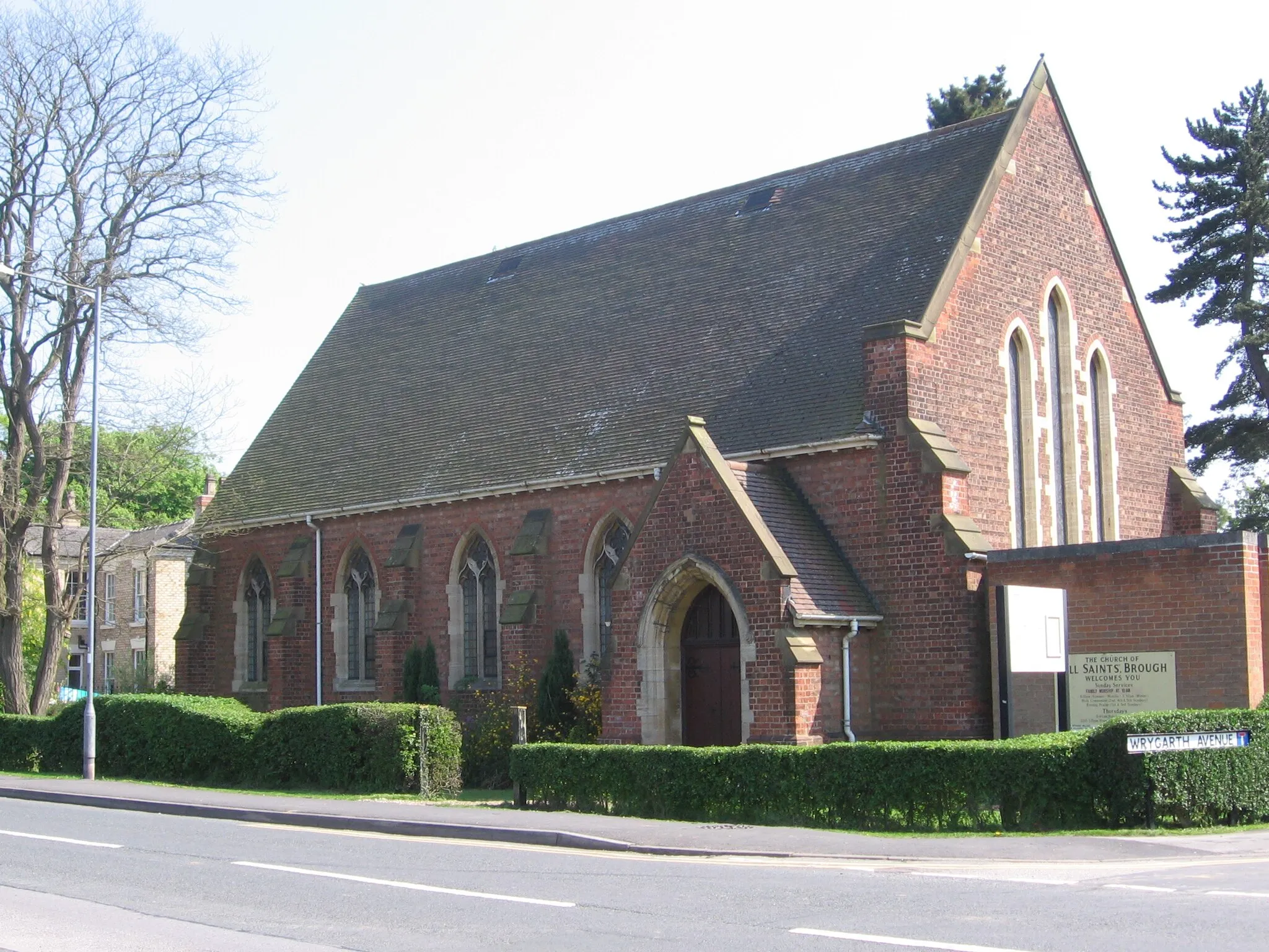
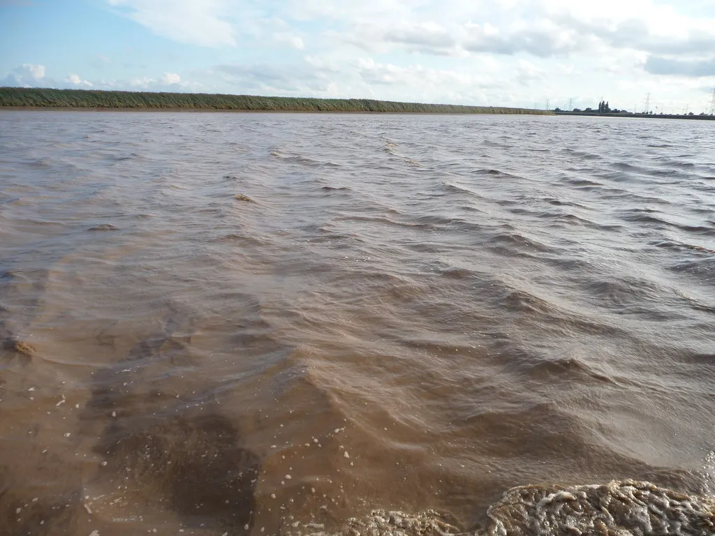
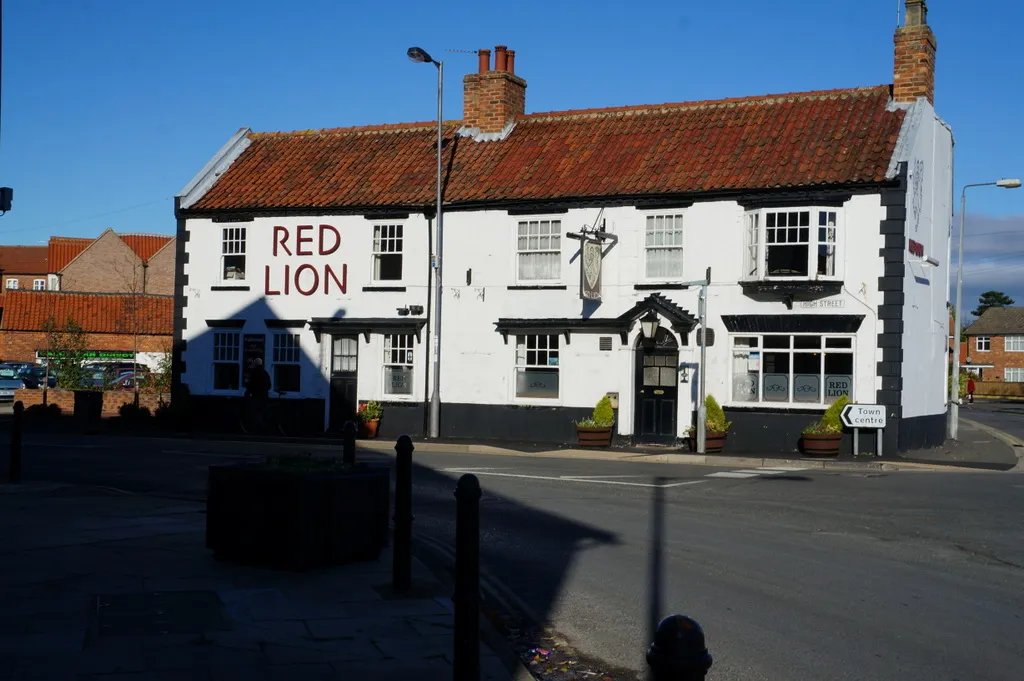
The Humber Bridge Ride is a road cycling route that traverses two counties, delivering stunning views and memorable experiences. With an ascent of 335 meters and a distance of 136 km, this route combines challenging terrain with panoramic vistas. Highlights along the way include Brough, the impressive Humber Bridge, Appleby, Kirton in Lindsey, Blyton, Hardwick Hill, West Butterwick, Crowle, Swinefleet, and Howden. These destinations showcase the rich cultural heritage and natural beauty of the region.
Gilberdyke to Hull Loop
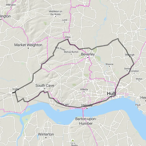
Cycling through picturesque countryside to reach the vibrant city of Hull
This round-trip route takes you through the scenic East Yorkshire countryside, showcasing the beautiful landscapes and charming villages before arriving in the vibrant city of Hull. With a total distance of 92 kilometers and an ascent of 246 meters, it is suitable for experienced cyclists. The route is predominantly on smooth road surfaces, providing an enjoyable riding experience. The epicness of this route is rated at 3, as it offers a mix of scenic beauty and cultural exploration.
Take on the challenge of this road cycling route, which presents impressive climbs and scenic vistas.
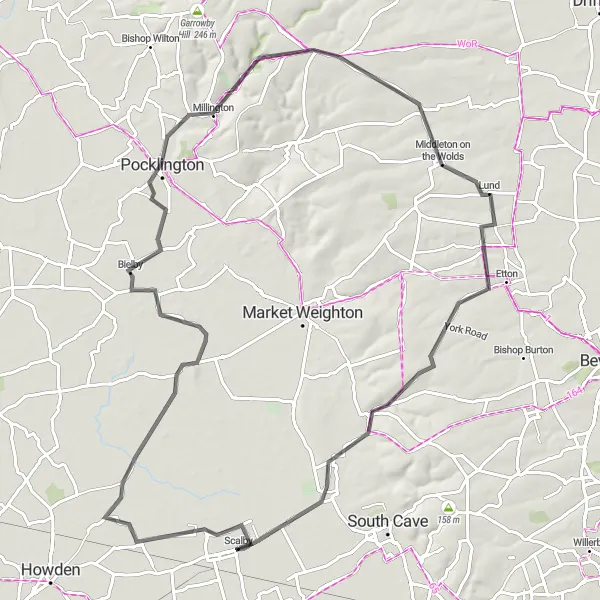
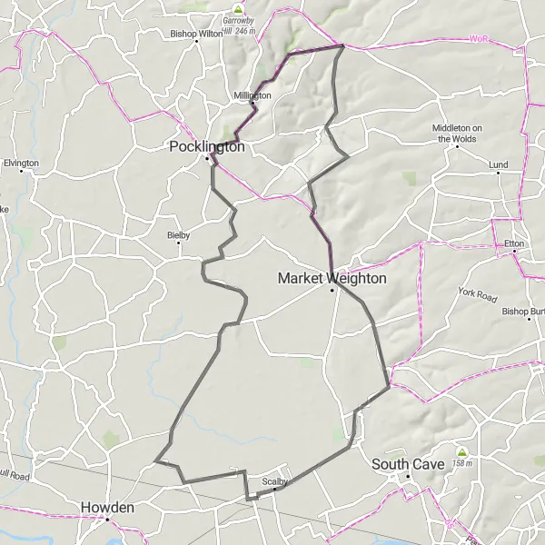
The Pocklington Challenge is a road cycling route that offers a perfect blend of challenge and beauty. With an ascent of 407 meters and a distance of 85 km, this route will test your endurance and reward you with breathtaking views. Highlights along the way include Eastrington, Bielby, Pocklington, Lund, and North Cave. These locations boast picturesque landscapes and charming village atmospheres.
Gilberdyke to York Adventure
Embark on a thrilling cycling adventure from Gilberdyke to the historic city of York
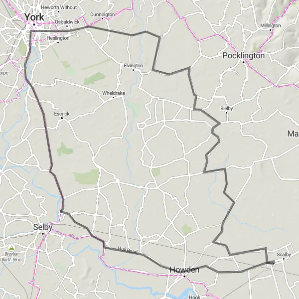
Embark on a memorable 94-kilometer road cycling adventure from Gilberdyke to York. With a total ascent of 72 meters, this route offers a mix of gentle climbs and scenic stretches. Pedal through picturesque villages, charming market towns, and, finally, reach the historic city of York with its stunning architecture and rich history. The epicness of this route is rated at 3, as it combines the beauty of open countryside with the cultural heritage of York.
Explore the hidden gems of the Gilberdyke and Howden region on this road cycling route
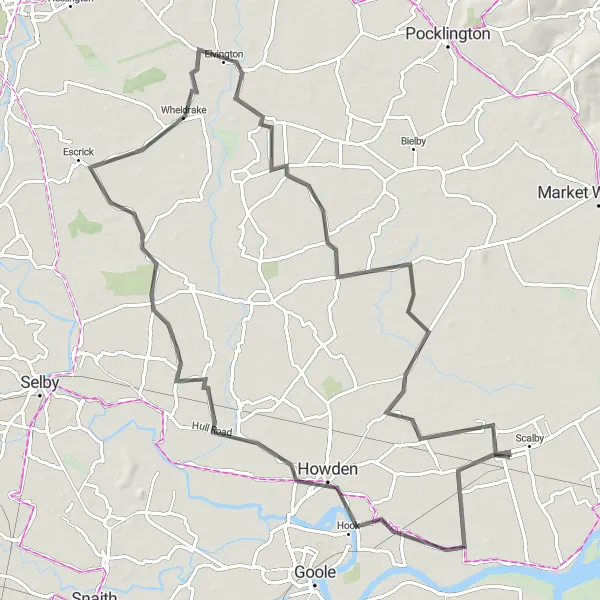
Discover the hidden gems of the Gilberdyke and Howden region with this 82-kilometer road cycling route. The route features a gentle ascent of 45 meters, making it accessible for cyclists of all abilities. Meandering through picturesque villages and tranquil countryside, you'll experience the charm and beauty of this lesser-known area. The epicness of this route is rated at 2, indicating a relaxed and enjoyable ride.
Dive into the scenic countryside of East Yorkshire on this road cycling route filled with picturesque landscapes.
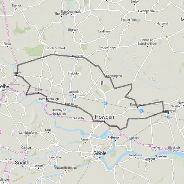
The Kilpin Loop is a delightful road cycling route that takes you through the stunning East Yorkshire countryside. Starting near Gilberdyke, you will embark on a 57 km journey with 27 meters of ascent. The route features several highlights, including Kilpin, Hemingbrough, North Duffield, Spaldington, and Sandholme. These charming villages offer a glimpse into the rich cultural heritage of the region.
The Wolds Exploration
Embark on an adventurous road cycling journey through the undulating terrain of the Yorkshire Wolds.
The Wolds Exploration is a thrilling road cycling route that takes you through the undulating hills and charming villages of the Yorkshire Wolds. With an ascent of 442 meters and a distance of 78 km, this route offers both challenge and beauty. Highlights along the way include Eastrington, Everingham, Pocklington, Huggate, Sancton, and North Cave. These locations showcase the unique landscapes and rural charm of the area.
Gilberdyke Countryside Discovery
Discover the beauty of the East Yorkshire countryside on this picturesque cycling route
Immerse yourself in the beauty of the East Yorkshire countryside with this 98-kilometer road cycling route starting from Gilberdyke. With 87 meters of ascent, this route is suitable for intermediate cyclists. Along the way, you will pass through scenic landscapes, charming villages, and enjoy the tranquility of the region. The epicness of this route is rated at 3, as it offers a combination of natural beauty and cultural exploration.
Cycling routes nearby:
Nearby regions: