The Humber Bridge Ride
A road cycling route starting from Gilberdyke
Cycle across the iconic Humber Bridge and explore the scenic landscapes of Lincolnshire and East Yorkshire.
Map
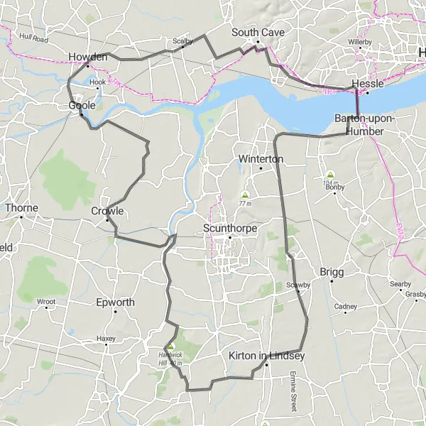
The Humber Bridge Ride is a road cycling route that traverses two counties, delivering stunning views and memorable experiences. With an ascent of 335 meters and a distance of 136 km, this route combines challenging terrain with panoramic vistas. Highlights along the way include Brough, the impressive Humber Bridge, Appleby, Kirton in Lindsey, Blyton, Hardwick Hill, West Butterwick, Crowle, Swinefleet, and Howden. These destinations showcase the rich cultural heritage and natural beauty of the region.
road
136 km
335 m
Savage
Route profile
Highlights on the route
0 km
0 km
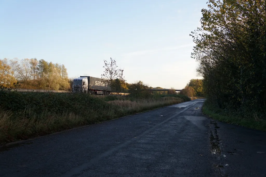
Start: Gilberdyke Village centerGilberdyke: Picturesque countryside routes with excellent amenities in Gilberdyke.
Gilberdyke, situated in the East Yorkshire and Northern Lincolnshire region of the United Kingdom, is a cyclist-friendly town with access to beautiful countryside routes. Road cyclists can enjoy the quiet lanes, while gravel cyclists can explore the nearby trails and nature reserves. The area is also known for its charming pubs and cafes, making it an excellent destination for a mid-ride break. Gilberdyke provides a perfect blend of rural landscapes and cyclist-friendly amenities.16 km
16 km
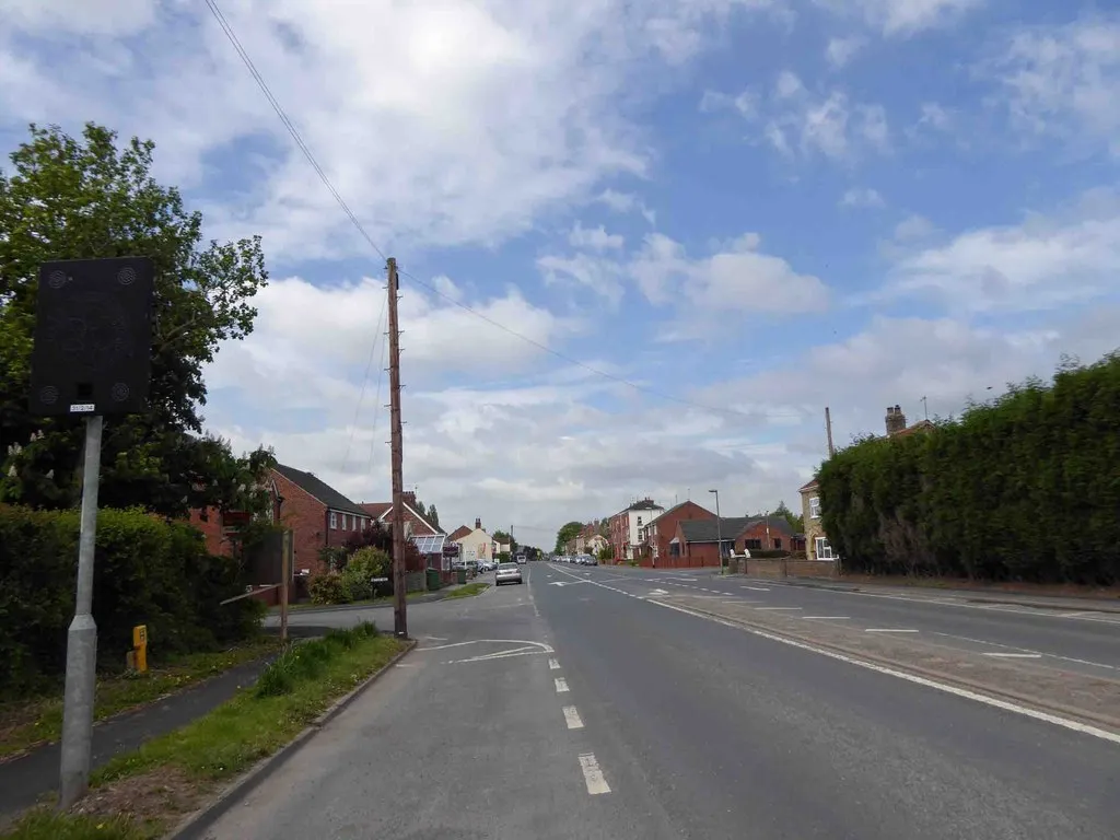
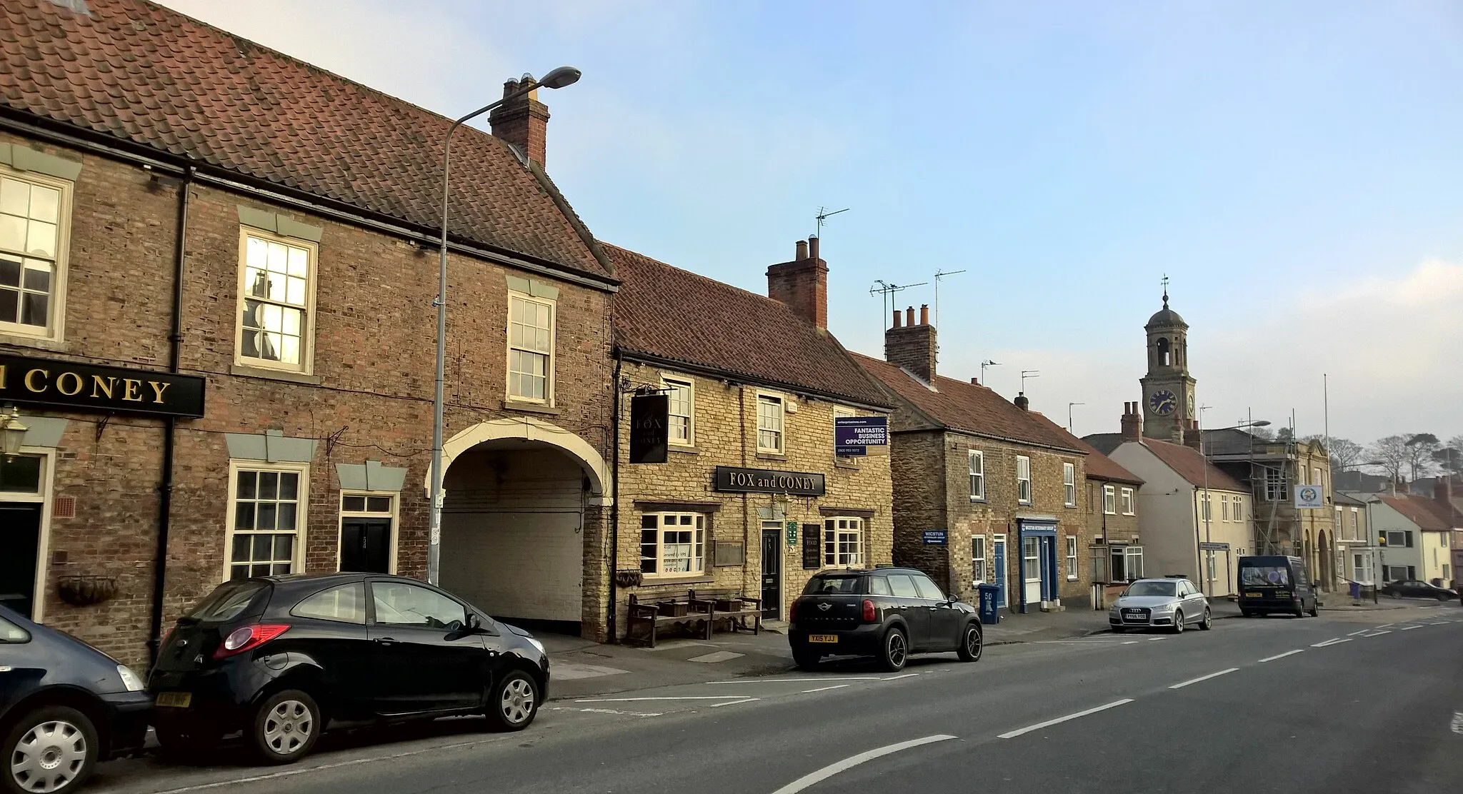
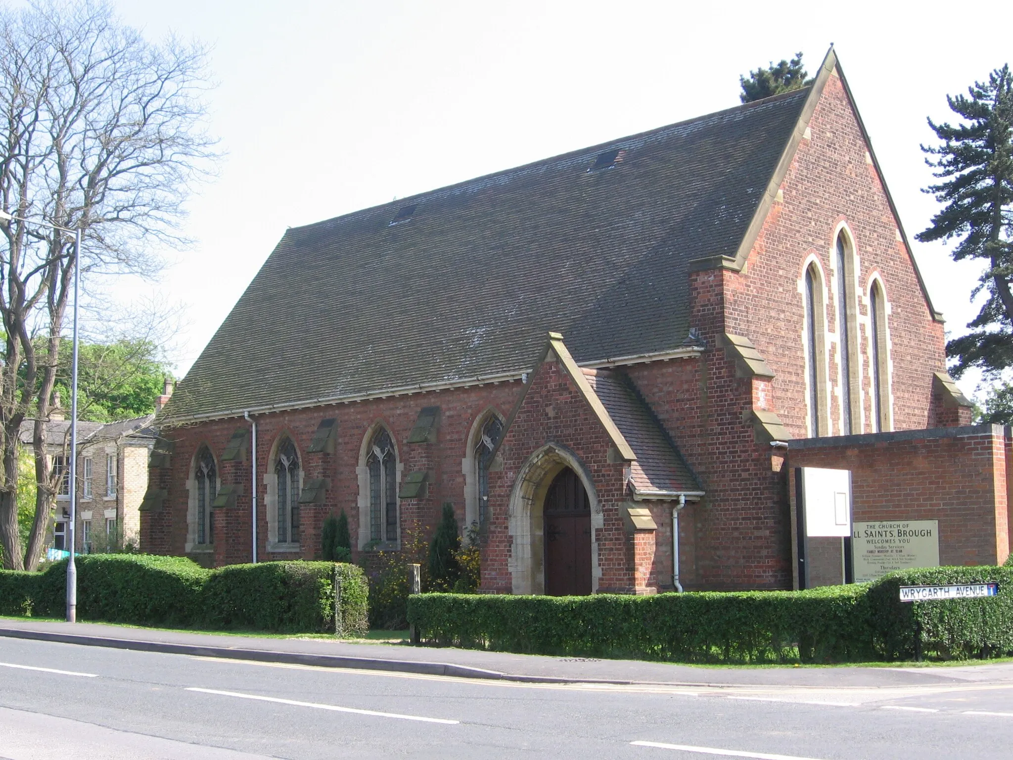
BroughVillageVisit the historic town of Brough, known for its medieval castle and interesting architecture.
26 km
26 km
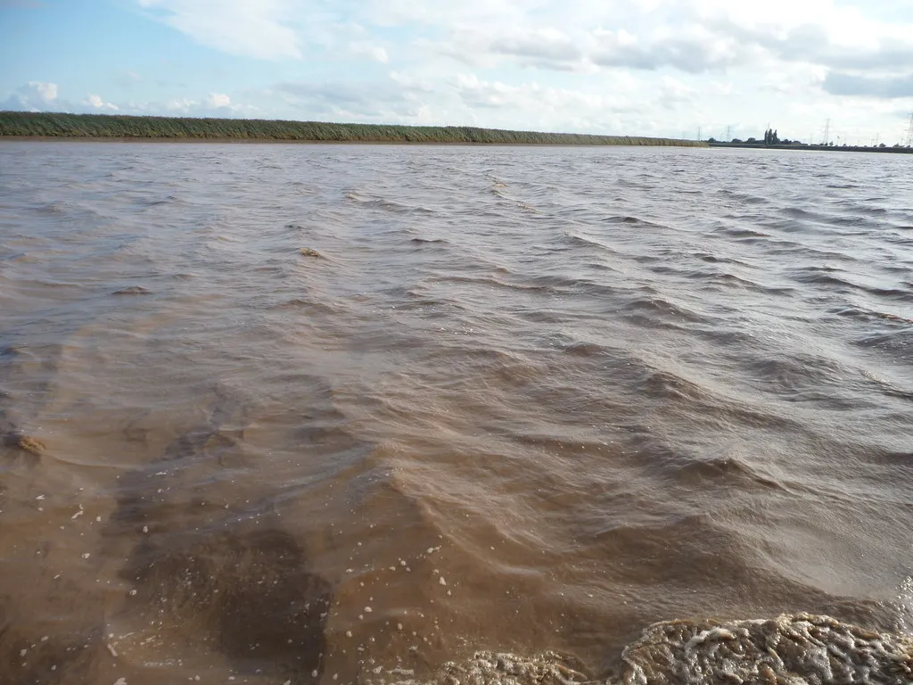
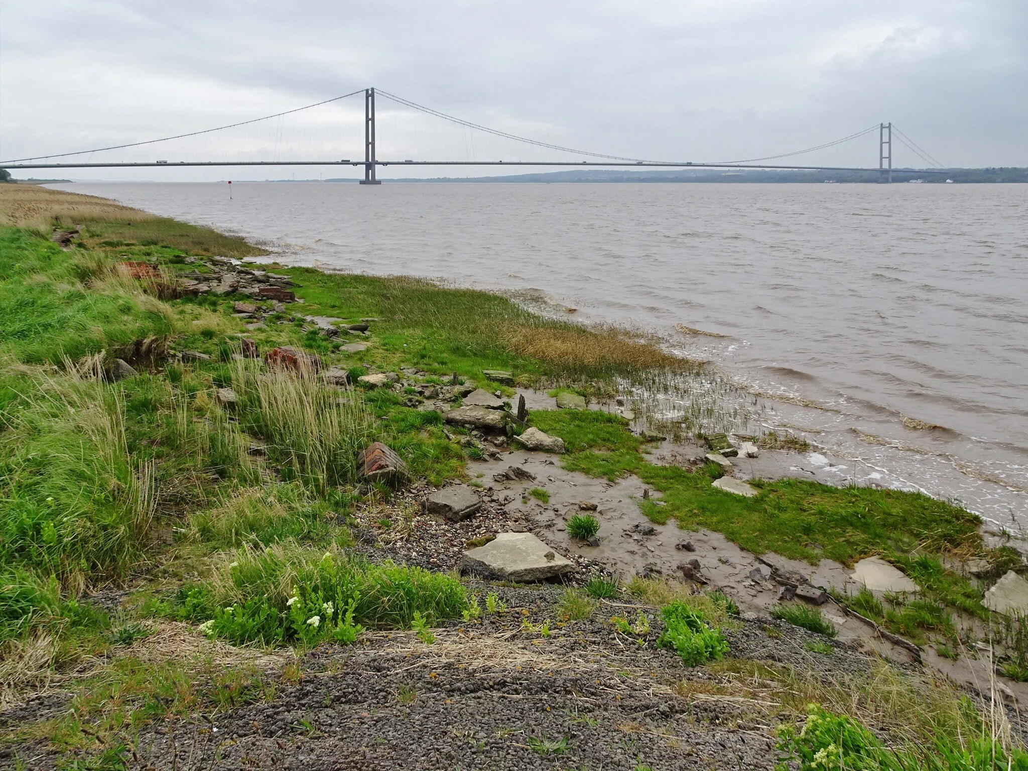
Humber BridgeAttractionCycle across the iconic Humber Bridge, marveling at its engineering marvel and panoramic views of the Humber Estuary.
43 km
43 km
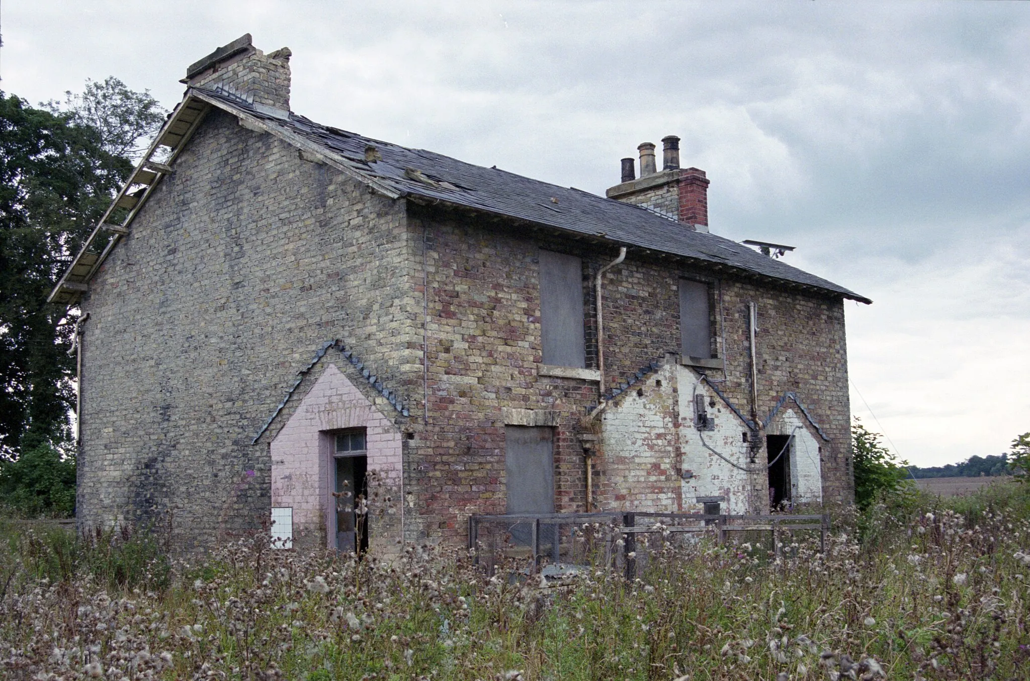
ApplebyVillageExplore Appleby, a picturesque village nestled within lush countryside and boasting charming traditional buildings.
63 km
63 km
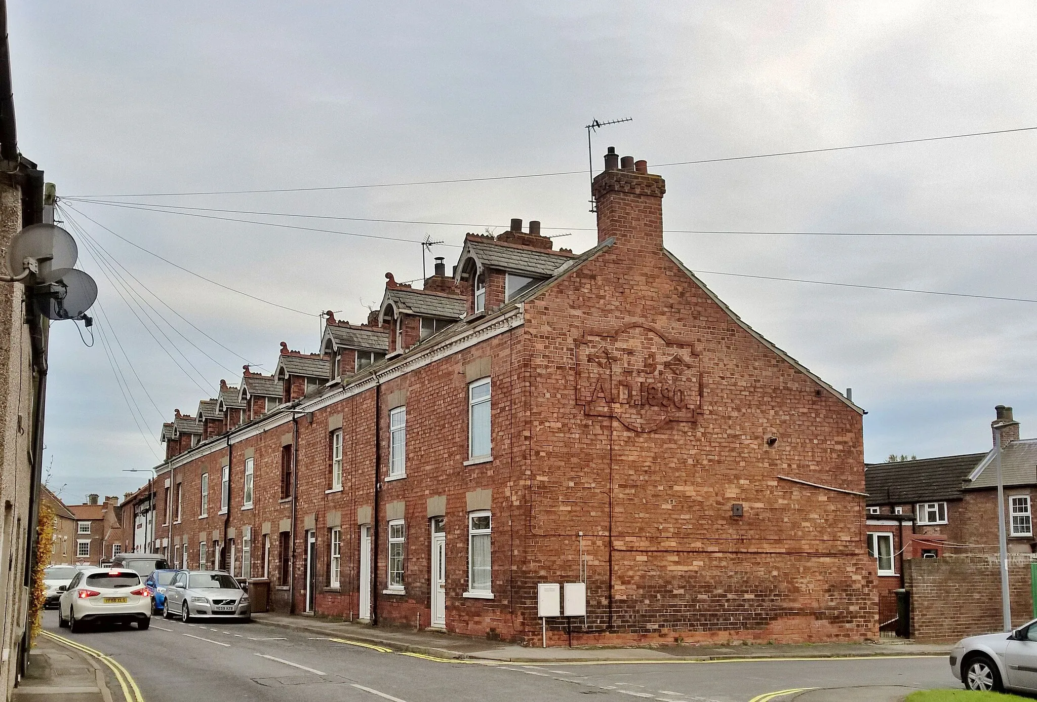
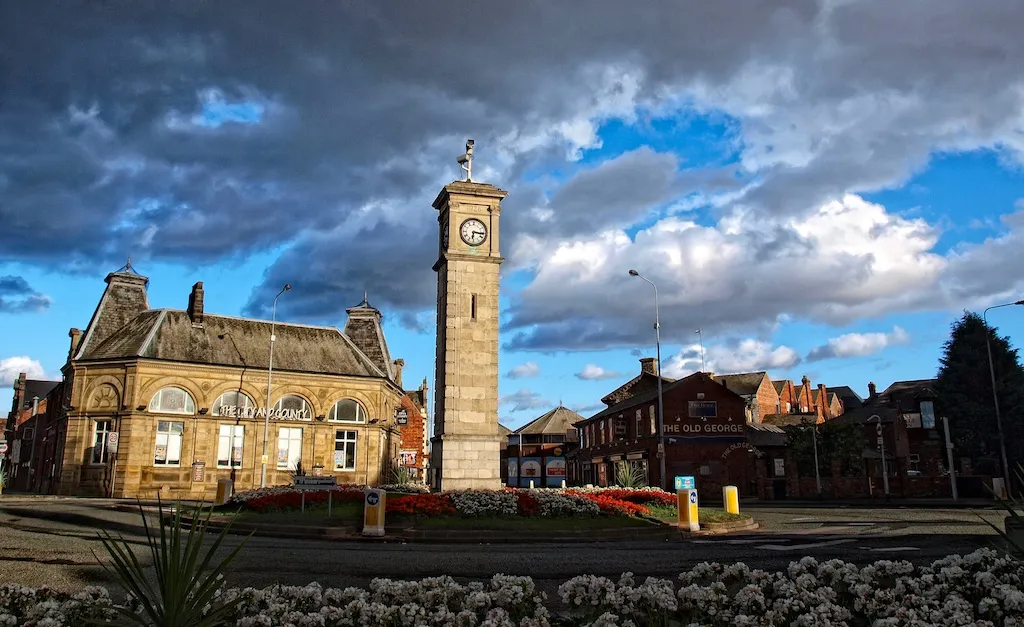
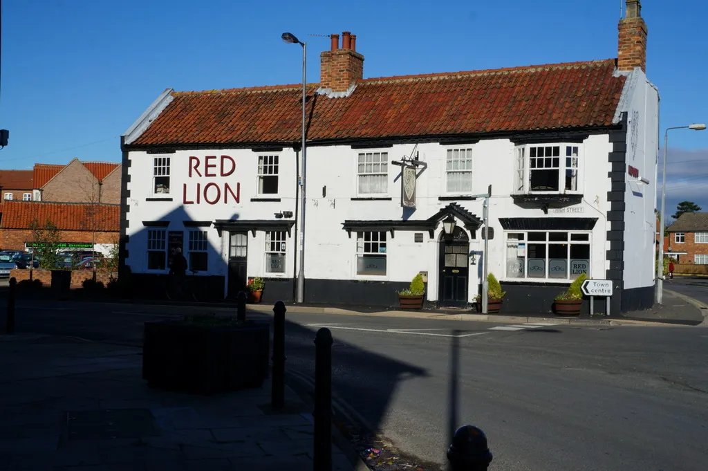
Kirton in LindseyTownTravel to the historic market town of Kirton in Lindsey and admire its beautiful historic buildings and tranquil atmosphere.
73 km
73 km
BlytonVillageDiscover Blyton, a quaint village with a rich equestrian heritage, stunning countryside, and peaceful surroundings.
80 km
80 km
Hardwick Hill40 mPeakClimb Hardwick Hill and be rewarded with incredible panoramic views stretching across the Lincolnshire countryside.
87 km
87 km
West ButterwickVillageStop in West Butterwick and experience its idyllic village charm, nestled beside the River Trent.
102 km
102 km
CrowleTownExplore Crowle, a welcoming town surrounded by panoramic beauty and offering a wealth of heritage sites.
116 km
116 km
SwinefleetVillageVisit Swinefleet, a picturesque village brimming with wildlife and scenic landscapes along the River Ouse.
127 km
127 km
HowdenTownDiscover Howden, a historic market town with remarkable medieval architecture and a charming atmosphere.
136 km
136 km
Finish: Gilberdyke Village centerGilberdyke: Picturesque countryside routes with excellent amenities in Gilberdyke.
Cycling routes from Gilberdyke:
Cycling routes nearby: