Exploring the diverse landscapes of Brough
Cycling routes from Brough
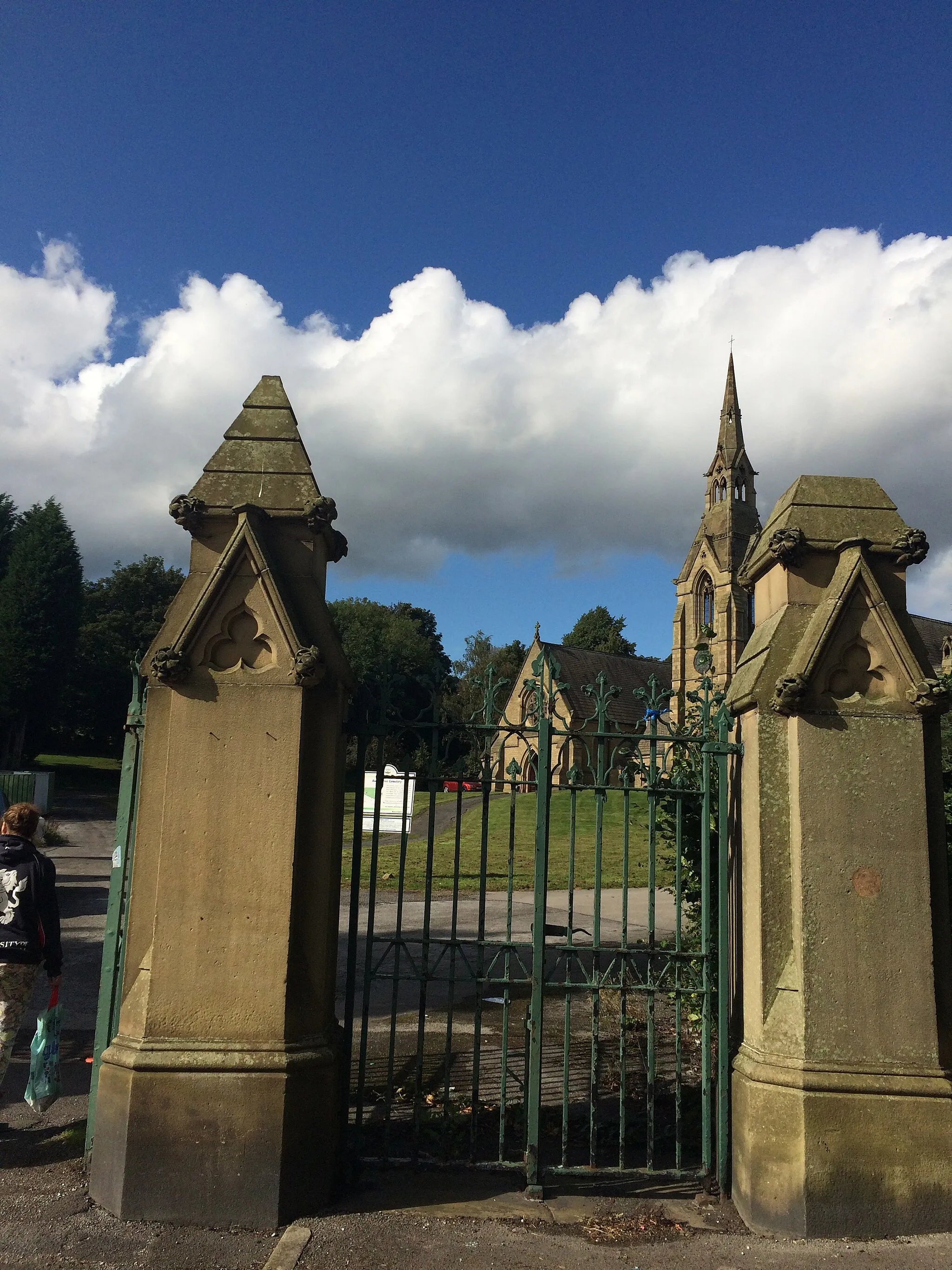
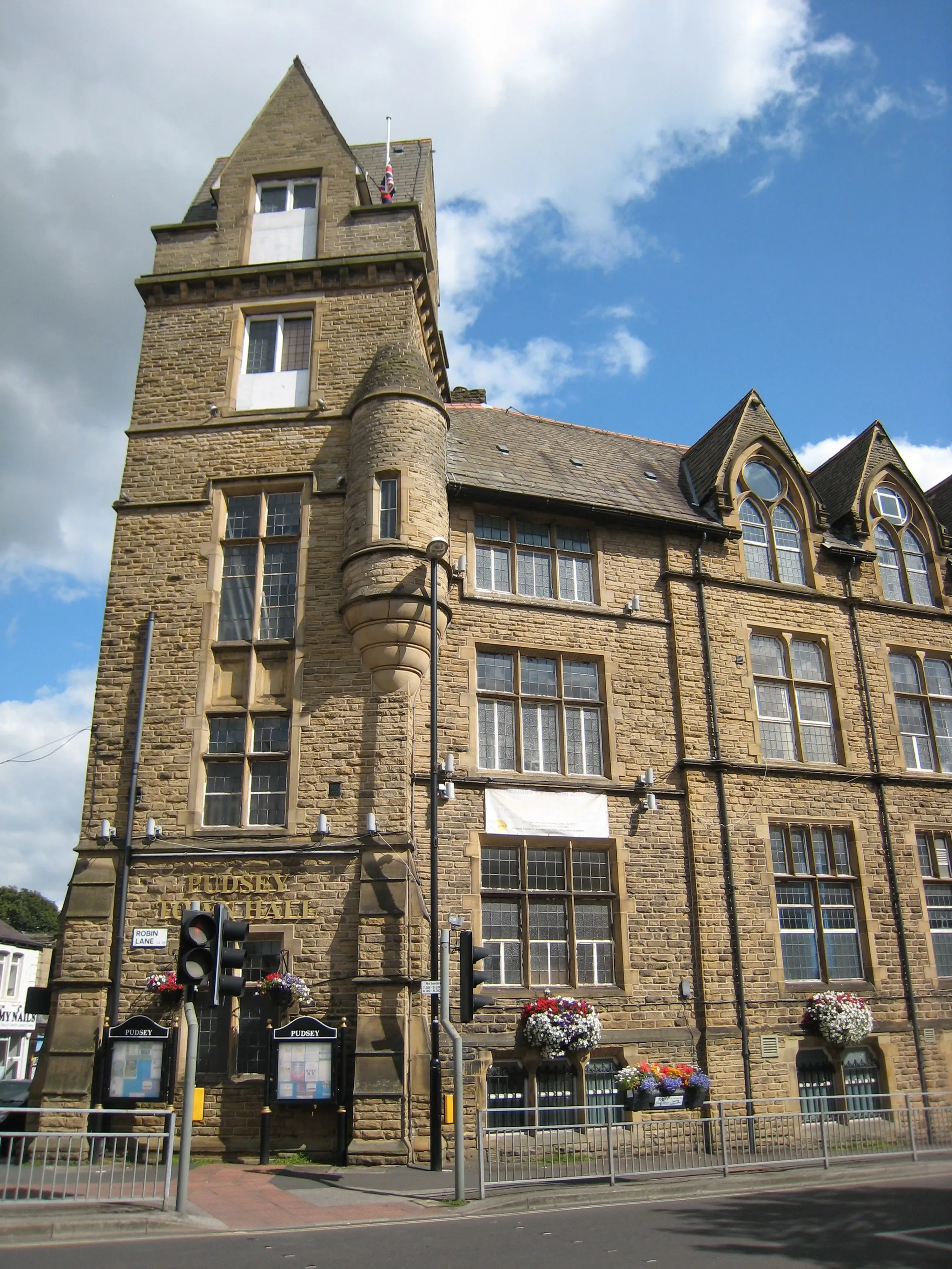
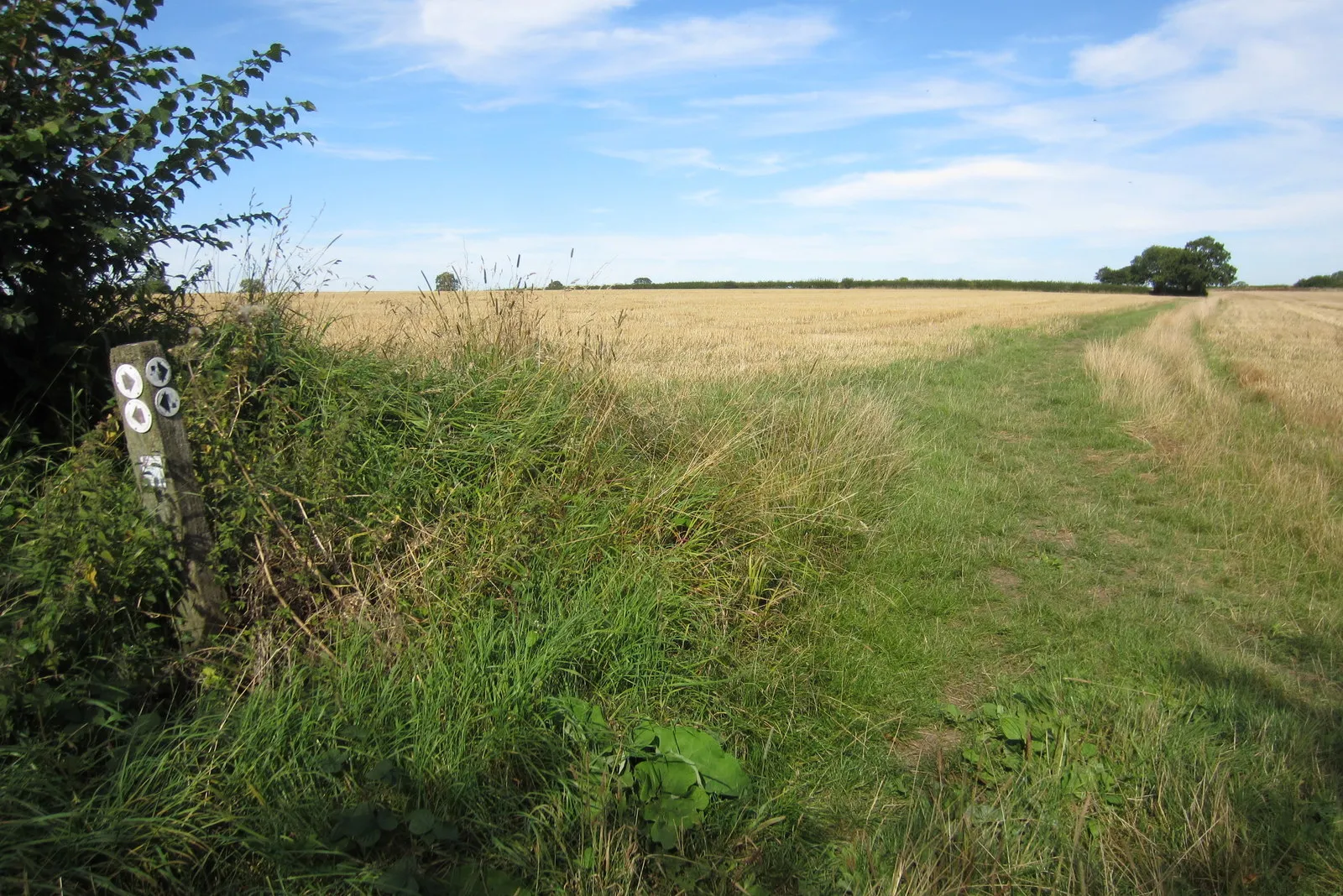
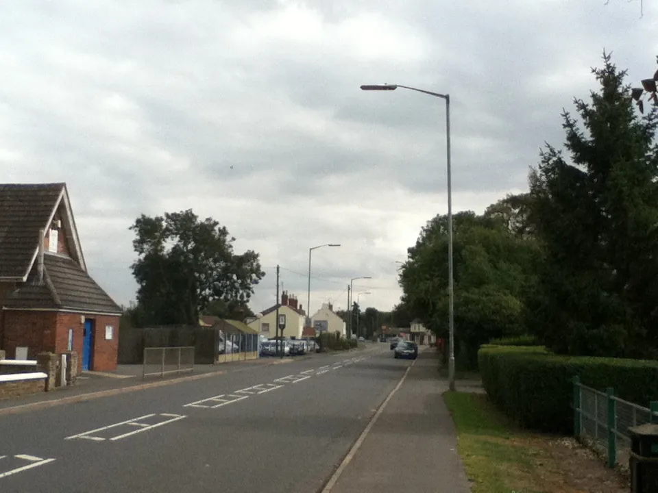
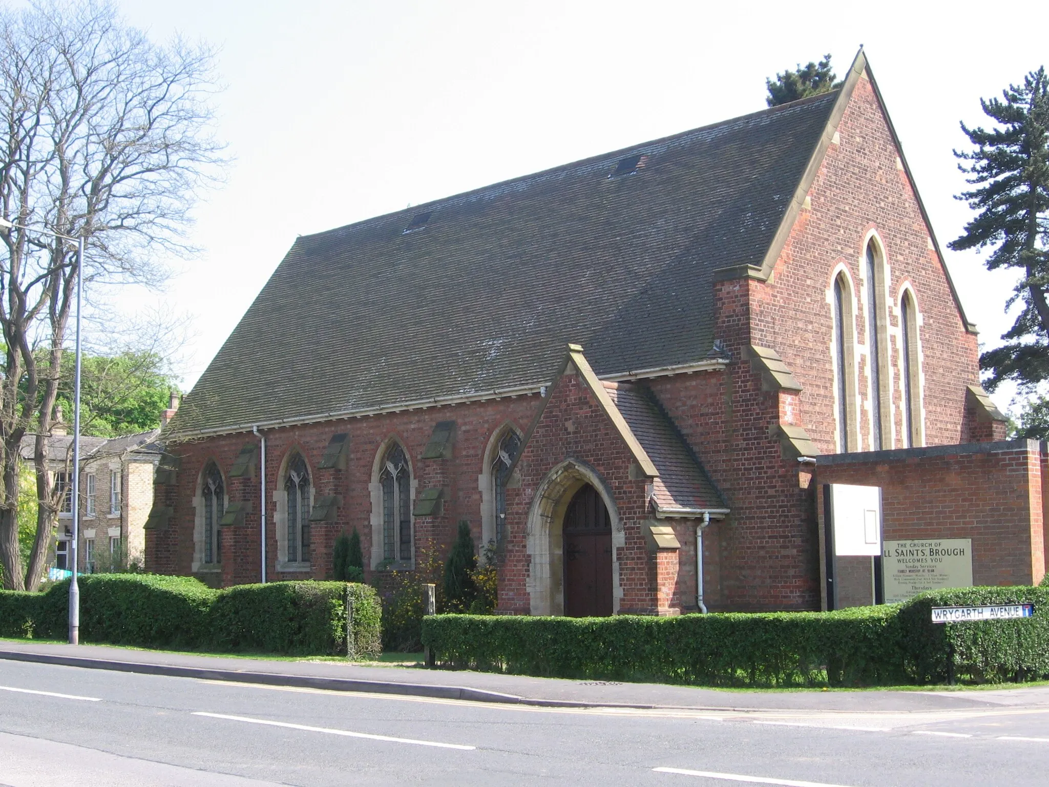
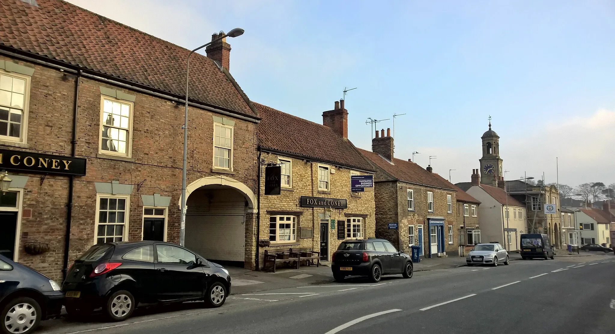
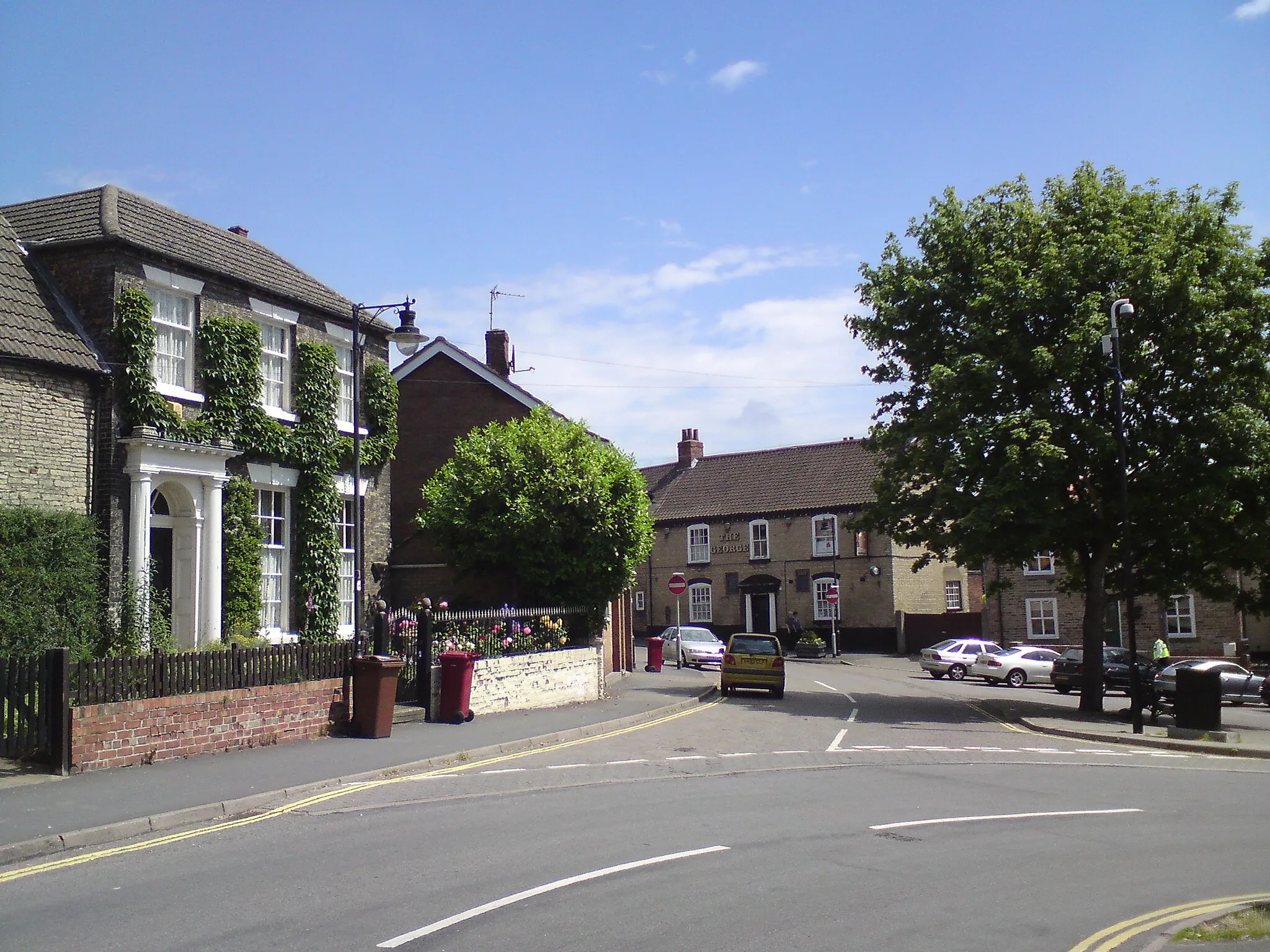
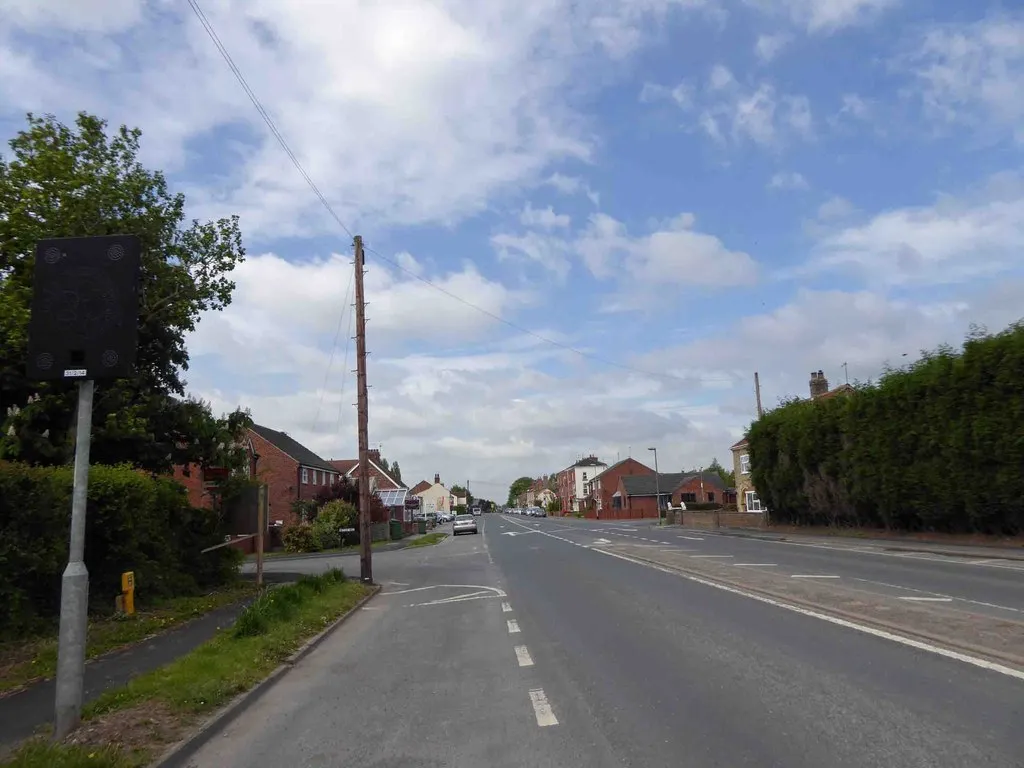
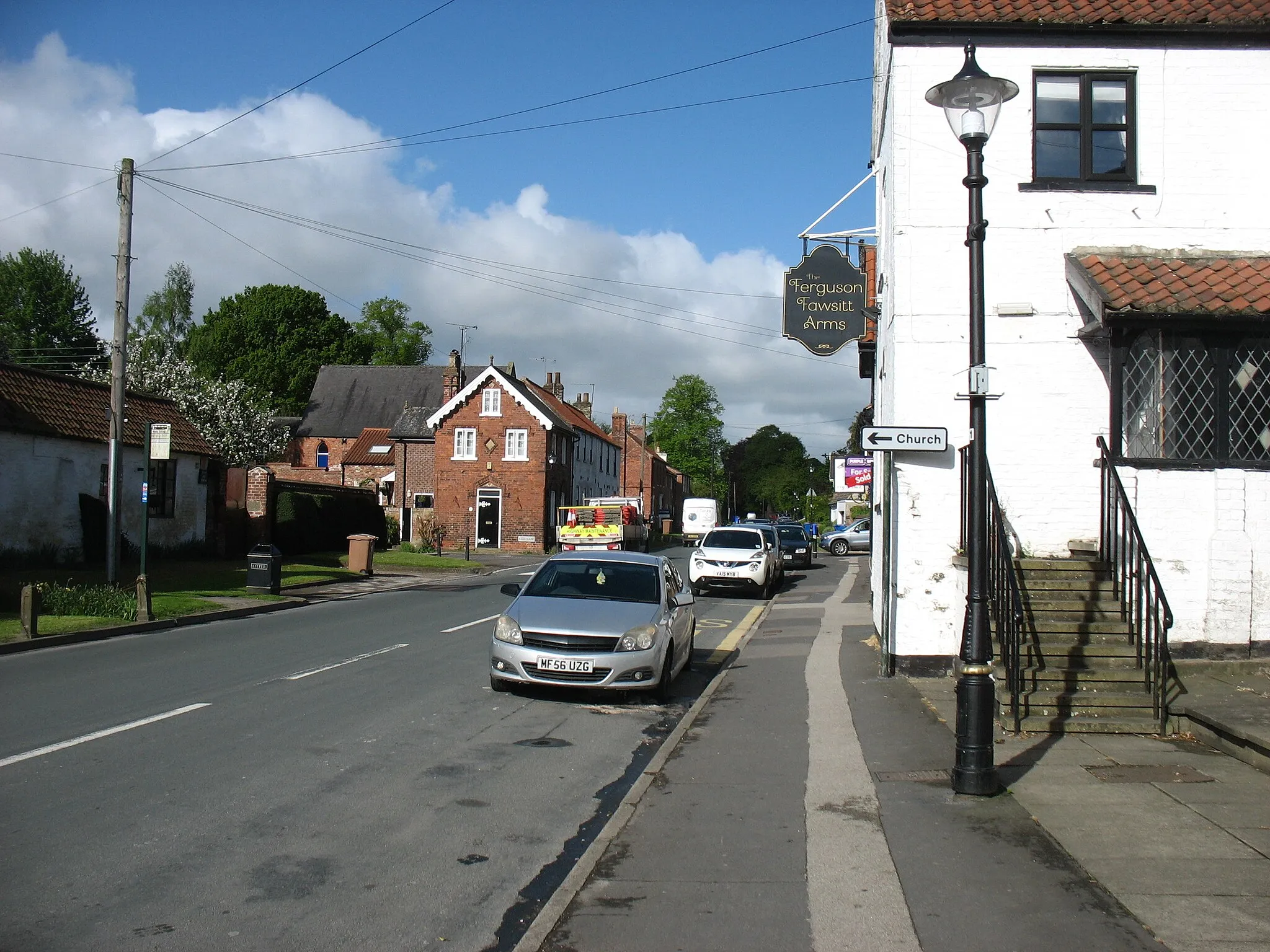
Brough, located in East Yorkshire and Northern Lincolnshire, United Kingdom, is a magnificent destination for road and gravel cyclists. The locality offers a range of scenic routes, both along the coast and inland, allowing cyclists to experience the diverse landscapes of the region. Brough is surrounded by picturesque countryside and charming villages, providing plenty of opportunities for exploration. Cyclists visiting Brough can also enjoy the challenging climbs in the nearby North York Moors National Park. With its stunning scenery and cyclist-friendly routes, Brough is an excellent choice for cyclists seeking a memorable ride.
A scenic tour through villages and countryside near Brough
Discover picturesque villages and beautiful countryside on this loop around Brough, East Yorkshire. With a total distance of 79km and 376m of ascent, this road cycling route is perfect for well-trained amateurs. Enjoy highlights such as Brough, North Newbald, Holme on the Wolds, Leconfield, Woodmansey, and North Ferriby.
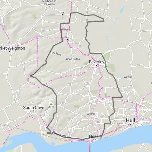
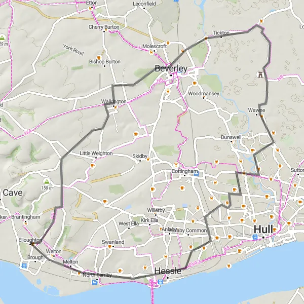
Explore charming villages near Brough on this cycling route
Embark on a delightful cycling adventure through charming villages near Brough, covering a distance of 60km with an ascent of 223m. Suitable for both road and gravel bikes, this route is moderately challenging and offers a taste of rural East Yorkshire. Don't miss highlights including Walkington with its historic church, the peaceful village of Wawne, the riverside town of Hessle, and the quaint village of Melton.
Cycle through scenic countryside and discover the hidden gems of Kilpin
Explore the picturesque countryside of East Yorkshire on the Kilpin Loop. This moderate-level route takes you through charming villages and offers a glimpse into the region's rich history. Highlights of the route include the secluded village of Kilpin, famous for its traditional architecture, and the quaint village of Broomfleet, with its charming church and peaceful surroundings. With a moderate level of difficulty and stunning views along the way, the Kilpin Loop is a perfect choice for well-trained amateur cyclists.
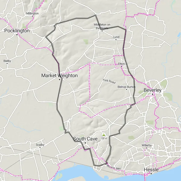
The Wolds Tour
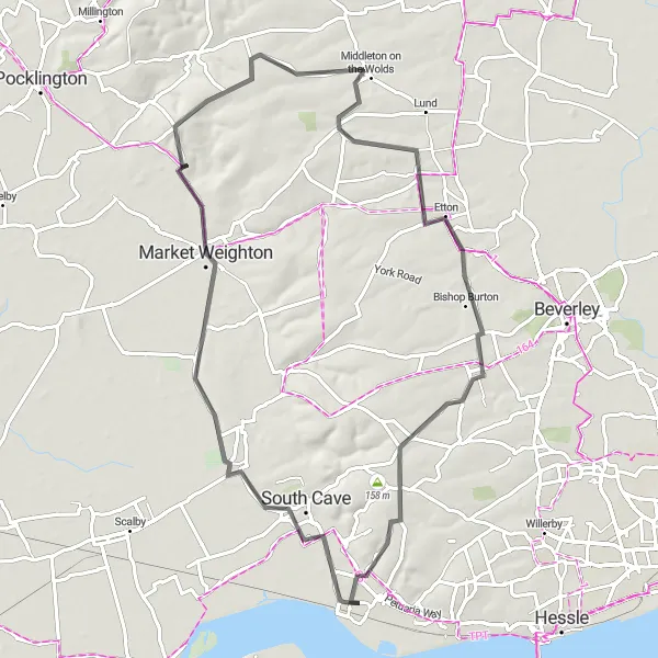
Experience East Yorkshire's stunning Wolds region on this challenging cycling tour
Embark on a challenging cycling adventure through the beautiful Yorkshire Wolds on this epic route. With breathtaking views and challenging ascents, this tour is recommended for experienced cyclists seeking a thrilling challenge. Highlights of the Wolds Tour include the market town of Market Weighton, known for its historic architecture, and the village of Bishop Burton, home to a prestigious agricultural college. With a high difficulty level due to steep ascents, the Wolds Tour is an unforgettable experience for adventurous riders.
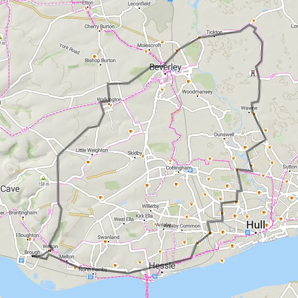
The Brough Beck Loop
A scenic ride along the Brough Beck with picturesque views of East Yorkshire
Experience the beauty of East Yorkshire on this scenic loop that takes you through charming villages and past rolling farmlands. The Brough Beck Loop offers stunning views of the countryside and includes highlights such as the historic town of Beverley and the picturesque village of Walkington. With a moderate level of difficulty, this route is ideal for well-trained amateur cyclists looking for a rewarding ride.
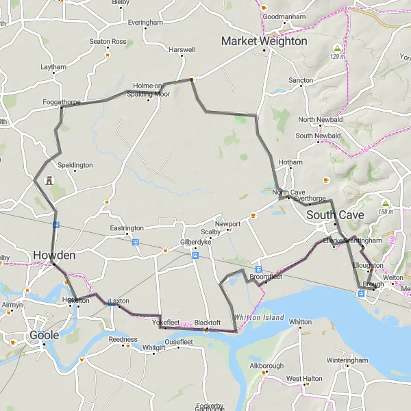
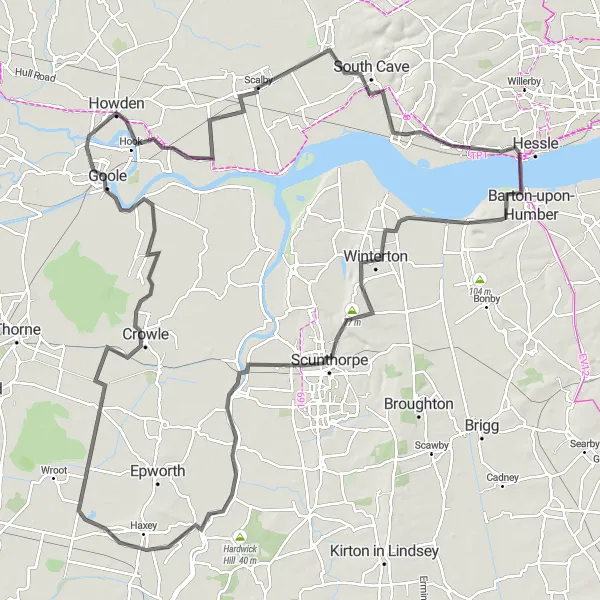
Brough to Goole Grand Tour
Embark on a grand cycling tour from Brough to Goole and explore the scenic countryside.
Embark on a grand cycling adventure from Brough to Goole, covering a distance of 116 kilometers with an ascent of 280 meters. This road cycling route is suitable for well-trained amateurs looking to explore the picturesque countryside. Enjoy the scenic beauty of South Ferriby, Scawby, Amcotts, Scalby, and various other charming villages along the way.
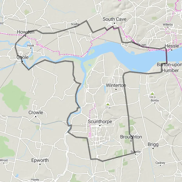
Spectacular ride across Humber Bridge with stunning views
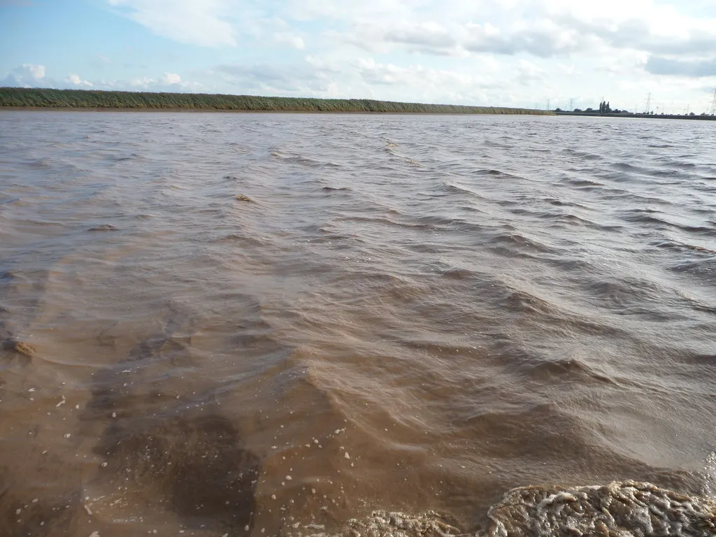
This circular road cycling route starting near Brough takes you on a beautiful journey across the iconic Humber Bridge. The route is 133 kilometers long with a total ascent of 291 meters. It offers a mix of scenic landscapes, quaint villages, and historical landmarks, making it an enticing adventure for cyclists. The Humber Bridge, one of the largest single-span suspension bridges in the world, is the highlight of the route, providing breathtaking views of the Humber Estuary and surrounding countryside.
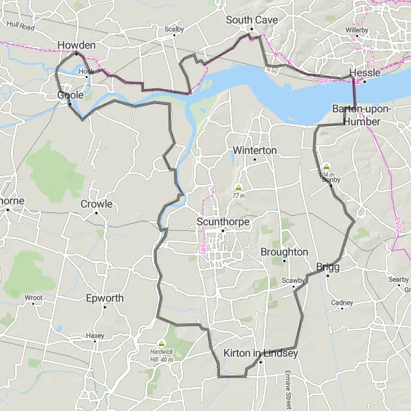
Experience the beauty of nature on this cycling route from Brough to Blacktoft Nature Reserve.
Indulge in the breathtaking beauty of nature as you pedal your way from Brough to Blacktoft Nature Reserve. This 138-kilometer route features an ascent of 307 meters, making it suitable for well-trained amateurs seeking a rewarding challenge. Enjoy scenic views of South Ferriby, Brigg, West Butterwick, and other picturesque villages along the way.

Experience the magic of the Brough to Hessle cycling route and discover the hidden gems along the way.
Embark on a magical cycling journey from Brough to Hessle. This 49-kilometer route offers a relatively easy ride with an ascent of 198 meters, making it perfect for cyclists of all skill levels. This road biking route takes you through charming villages, such as Walkington and Dunswell, showcasing the beauty of East Yorkshire.
The East Yorkshire Excursion
Embark on an exciting cycling adventure through East Yorkshire's diverse landscapes
Experience the diverse landscapes of East Yorkshire on this exhilarating cycling excursion. From picturesque farmlands to charming villages, this route offers a mix of natural beauty and cultural richness. Highlights include the scenic village of North Cave with its stunning caves and rock formations, and the peaceful village of Londesborough, known for its historic estate. With a moderate to high difficulty level due to challenging ascents, the East Yorkshire Excursion is ideal for adventure-seeking cyclists looking to explore the region's hidden gems.
Cycling routes nearby:

Nearby regions: