Idyllic countryside and proximity to the stunning Lincolnshire Wolds.
Cycling routes from Burton upon Stather
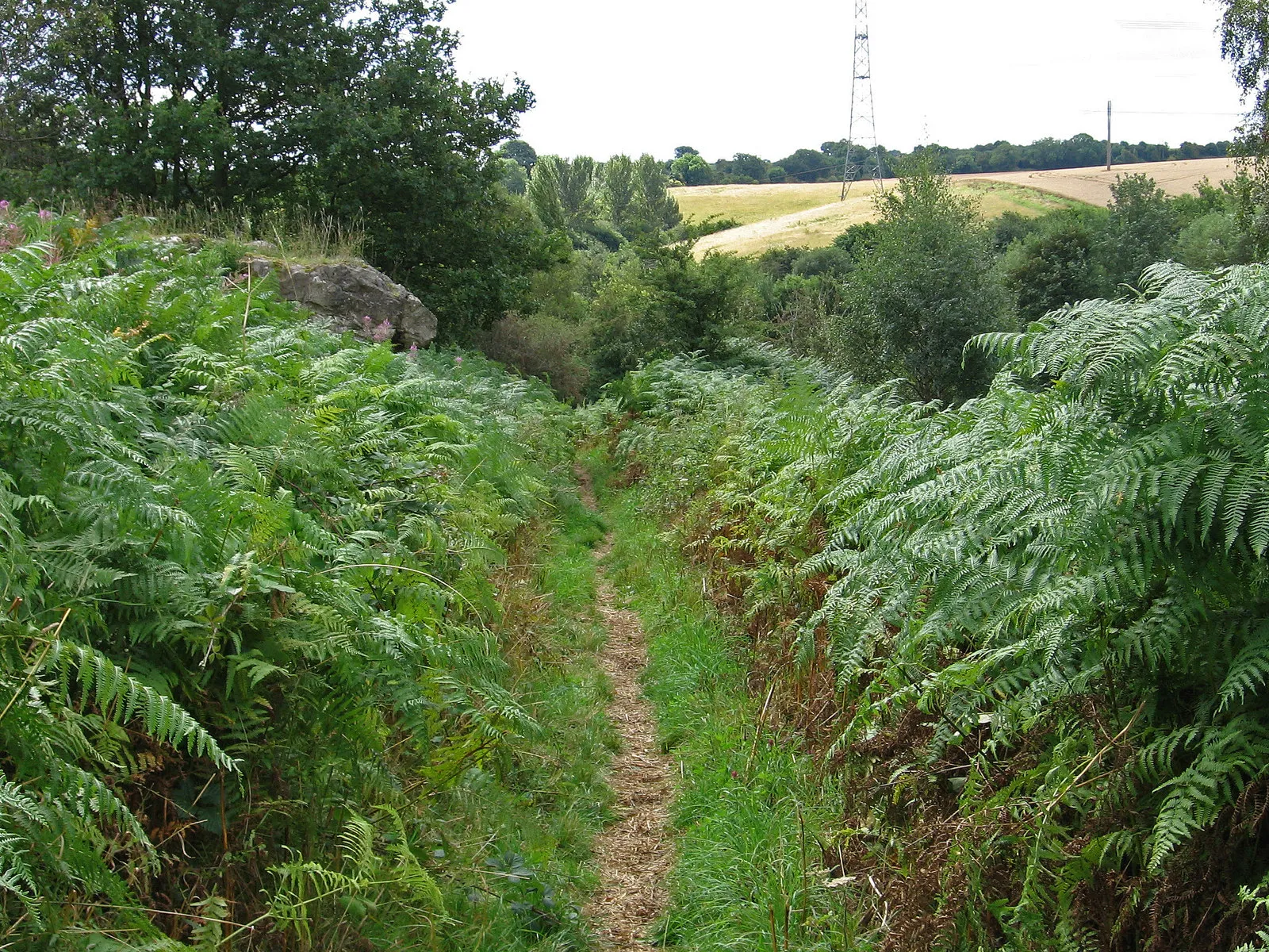
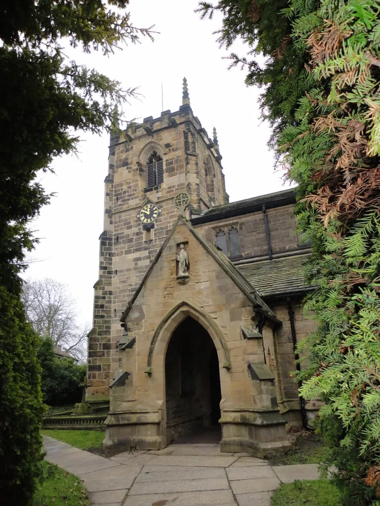
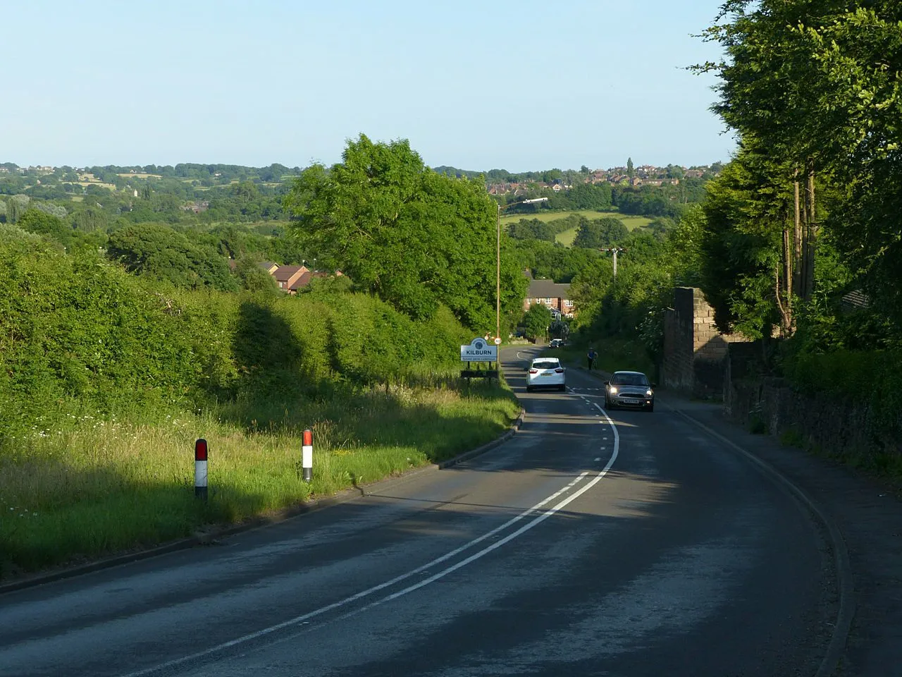
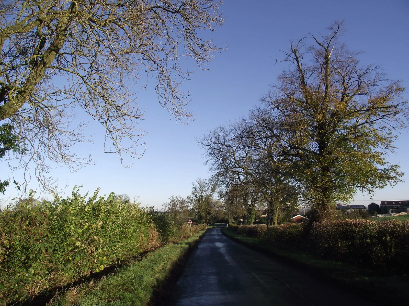
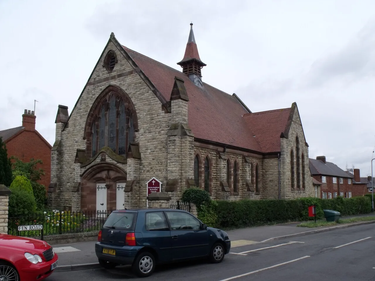
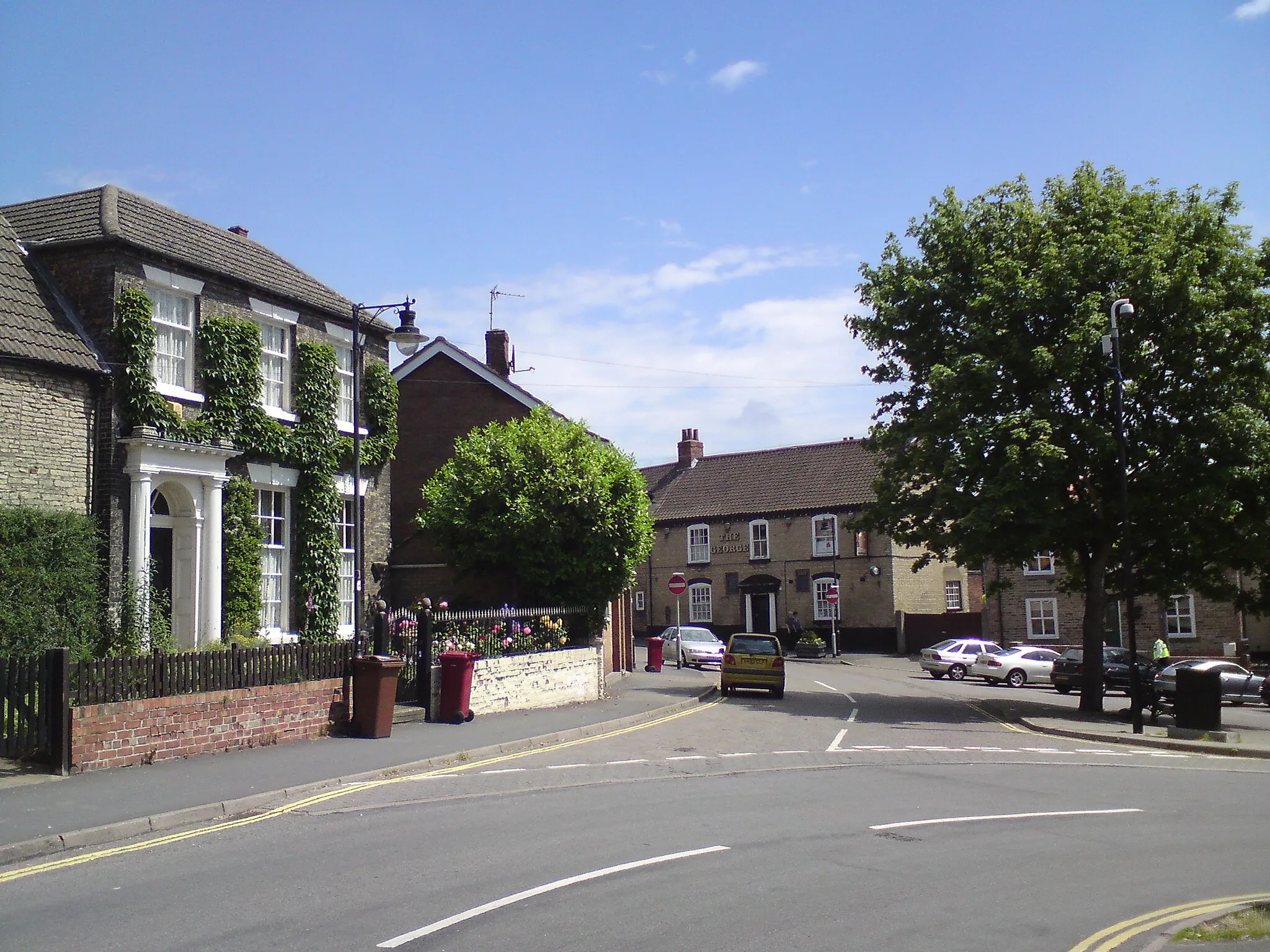
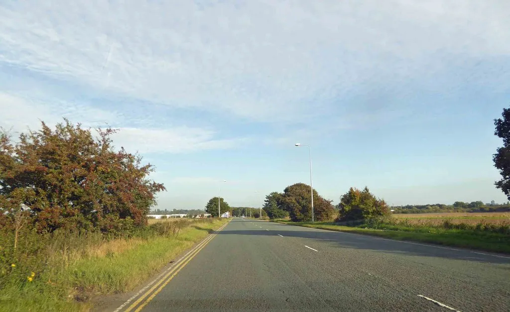
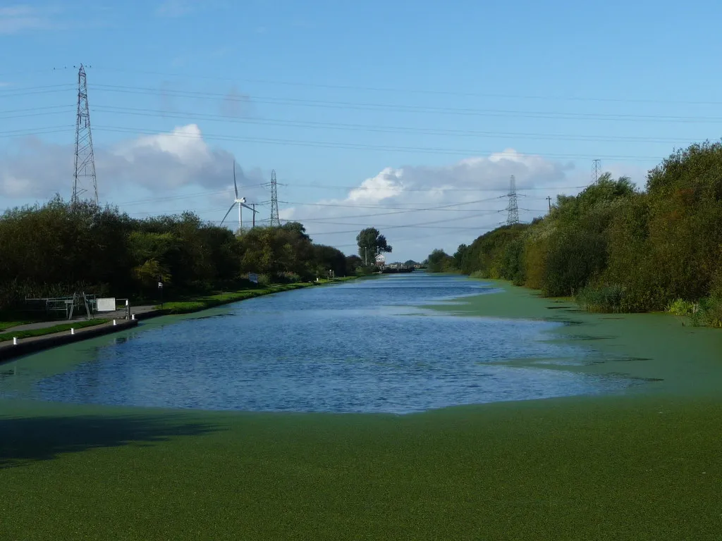
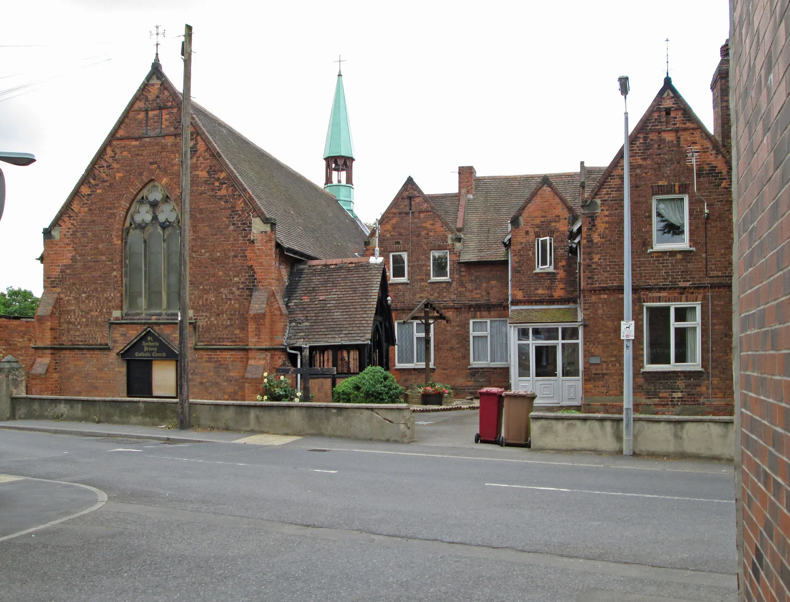
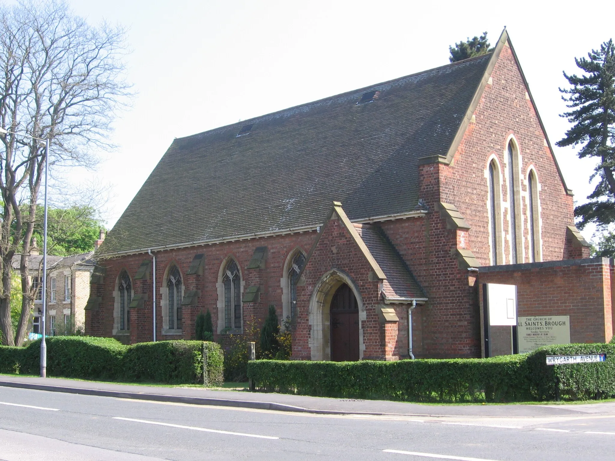
Situated in East Yorkshire and Northern Lincolnshire, Burton upon Stather offers a pleasant cycling experience within the United Kingdom. The locality boasts idyllic country lanes, charming villages, and breathtaking views of the surrounding landscapes. Cyclists can enjoy leisurely rides or challenge themselves on undulating terrain, perfect for road and gravel biking. Notably, Burton upon Stather is near the magnificent Lincolnshire Wolds, an Area of Outstanding Natural Beauty, offering cyclists the chance to venture into its stunning hills and valleys. With its scenic beauty and variety of cycling routes, Burton upon Stather is a great destination for cycling enthusiasts.
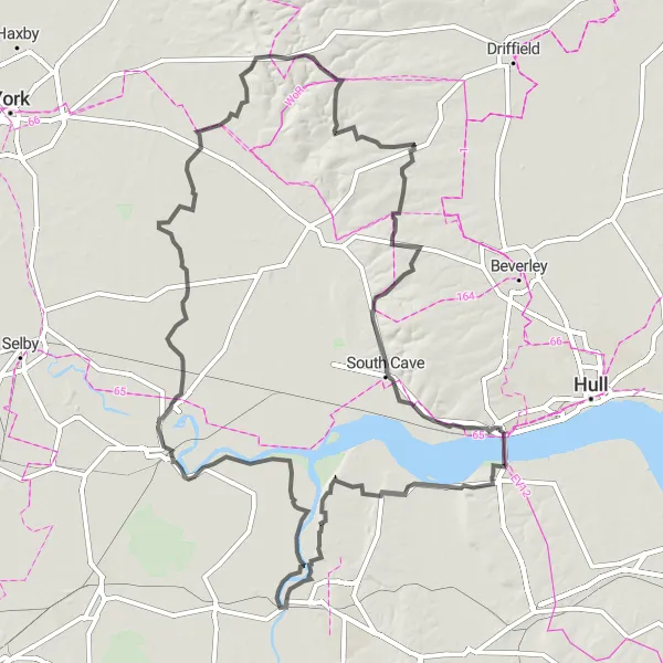
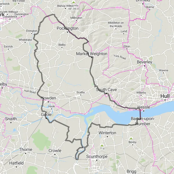
Follow in the footsteps of the Vikings on this historical road cycling route
Embark on a journey through history as you cycle along this 166-kilometer route, with an ascent of 825 meters. Starting near Burton upon Stather, explore the towns of Flixborough, Garthorpe, Howden, Melbourne, Bishop Wilton, Garrowby Hill, Middleton on the Wolds, South Cave, Alkborough, and finally reach the magnificent Humber Bridge. Discover the region's Viking past and for a real challenge, conquer the legendary Garrowby Hill!
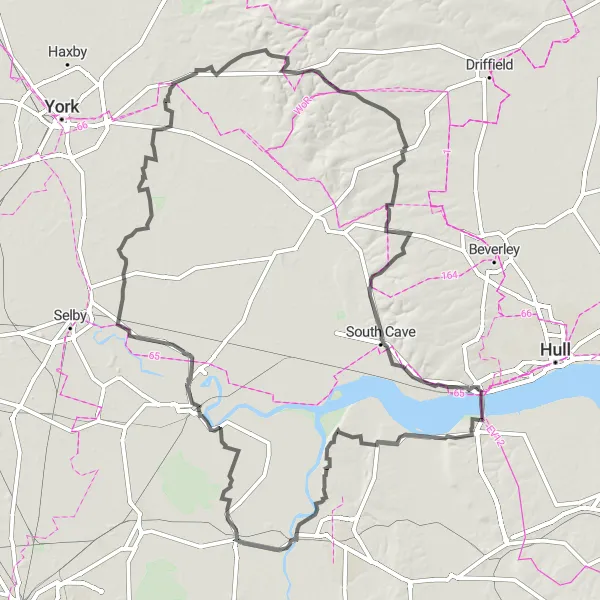
Discover the industrial heritage of East Yorkshire and Northern Lincolnshire
Experience the region's rich industrial past on this challenging cycling route. With a total ascent of 788 meters over a distance of 174 kilometers, this route takes you through the towns of Flixborough, Crowle, Goole, Hemingbrough, Wheldrake, Kexby, Bugthorpe, Garrowby Hill, Middleton on the Wolds, South Cave, Alkborough, and finally ends at the iconic Humber Bridge. The route promises stunning views, including the magestic Garrowby Hill.
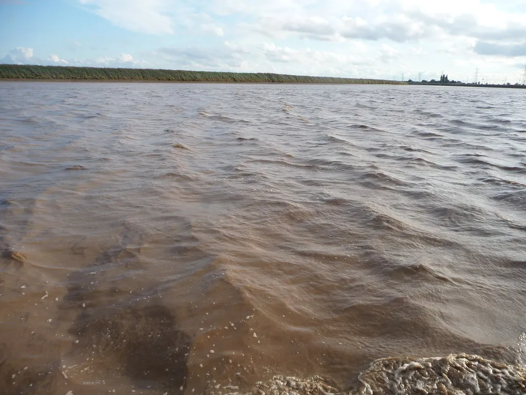
The Humber Banks
An exhilarating ride along the scenic banks of the Humber River
The Humber Banks route takes you on a picturesque journey along the beautiful Humber River. With a total distance of 112 km and 148 meters of ascent, this road cycling route is suitable for well-trained amateurs. The route offers breathtaking views of the river as you pass through charming villages and towns.

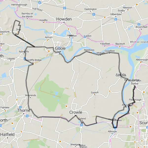
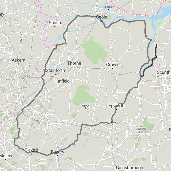
Embark on a thrilling gravel adventure through the enchanting landscapes of Crowle Moor
The Crowle Moor Loop is a thrilling 110 km gravel route that introduces riders to the rustic beauty of Crowle Moor. With an ascent of 131 meters, this route is suitable for those looking for a mix of scenic vistas and off-road challenges. The journey takes you through picturesque villages and offers stunning views of a moorland habitat.
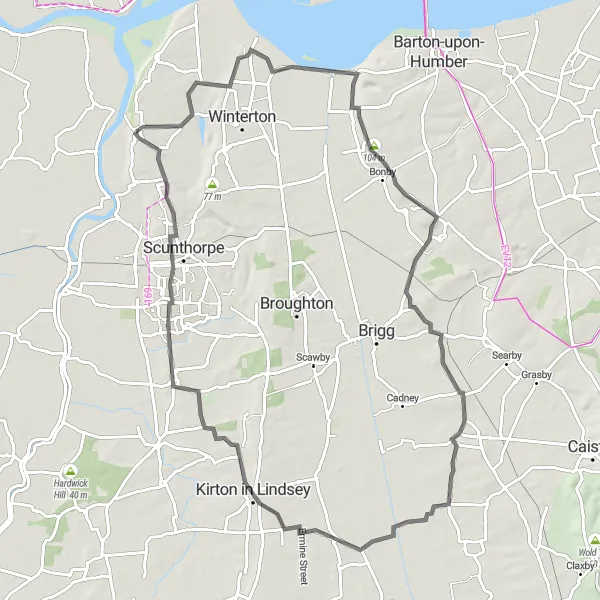
A scenic adventure through the beautiful rolling hills of the Wolds
Saddle up for a challenging 81-kilometer cycling experience, with an ascent of 402 meters, through the enchanting landscapes of the Yorkshire Wolds. Follow this route from Burton upon Stather to West Halton, South Ferriby, Wrawby, North Kelsey, Kirton in Lindsey, Messingham, Scunthorpe, and return to Burton upon Stather via Burton Stather. Discover panoramic vistas, quaint villages, and immerse yourself in the breathtaking beauty of this Area of Outstanding Natural Beauty.
Immerse yourself in the tranquility of rural landscapes
Embark on a scenic cycling journey through the peaceful countryside near Burton upon Stather. This road cycling route has a distance of 99 kilometers and a moderate ascent of 106 meters, making it suitable for well-trained amateurs looking for a relaxing and enjoyable ride. As you pedal through quaint villages and serene landscapes, you'll feel a sense of tranquility and connection with nature. The route offers a chance to escape the bustling city life and immerse yourself in the beauty of rural East Yorkshire and Northern Lincolnshire.
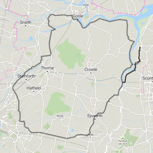
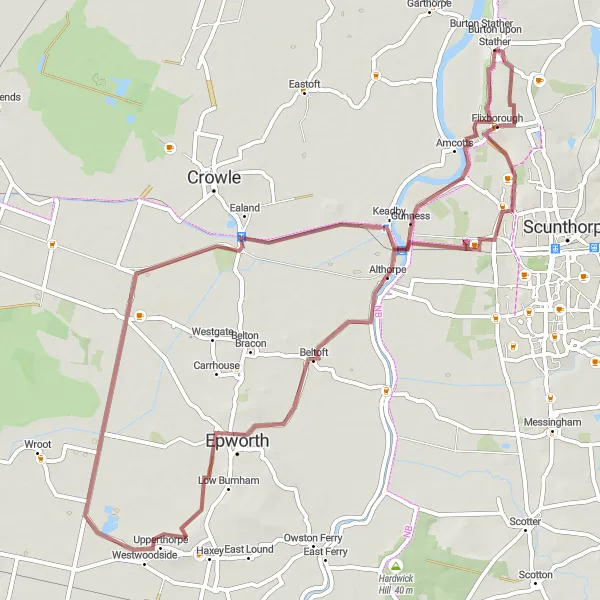
Conquer the challenging terrain and immerse yourself in the rustic beauty of the Isle of Axholme
The Isle of Axholme Epic is a 151 km road cycling route that presents a challenge for experienced cyclists. With a total ascent of 411 meters, this route rewards riders with stunning views and a glimpse into the region's rich heritage. It takes you through traditional farming communities and showcases the diverse landscapes of the area.
Discover the off-road beauty of East Yorkshire and Northern Lincolnshire
Get off the beaten path with this gravel cycling adventure near Burton upon Stather. The route covers a distance of 62 kilometers and features an ascent of 149 meters, offering a thrilling ride for gravel enthusiasts. Explore the unspoiled wilderness and experience the freedom of riding on the less-traveled gravel paths. Along the way, you'll encounter charming villages, historic landmarks, and beautiful natural landscapes. Whether you're an experienced gravel rider or looking to try something new, this route promises a memorable and exciting off-road cycling experience.
Challenging Countryside Loop
Take on the hilly terrain of Yorkshire countryside
This challenging road cycling route near Burton upon Stather offers a thrilling adventure for experienced cyclists eager to conquer hilly terrain. With a total distance of 134 kilometers and an ascent of 287 meters, this loop will put your endurance and climbing skills to the test. As you pedal your way through idyllic countryside, you'll be rewarded with breathtaking views and charming villages. This route is suitable for well-trained amateurs seeking a memorable cycling experience.

Enjoy a short but picturesque gravel ride
Immerse yourself in the natural beauty of East Yorkshire and Northern Lincolnshire with this scenic gravel cycling route near Burton upon Stather. Covering a distance of 39 kilometers and featuring an ascent of 215 meters, this route is perfect for those seeking a shorter yet fulfilling outdoor adventure. Pedal through picturesque countryside and admire the tranquil vistas along the way. With highlights including the charming village of South Ferriby and the serene landscapes of West Halton, this route offers a refreshing escape from the city and a chance to reconnect with nature.
Cycling routes nearby:


Nearby regions: