The Isle of Axholme Epic
A road cycling route starting from Burton upon Stather
Conquer the challenging terrain and immerse yourself in the rustic beauty of the Isle of Axholme
Map
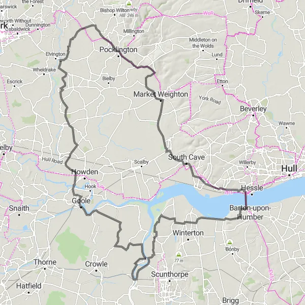
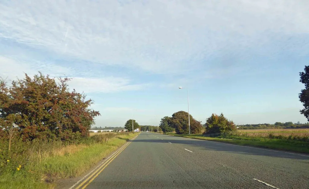
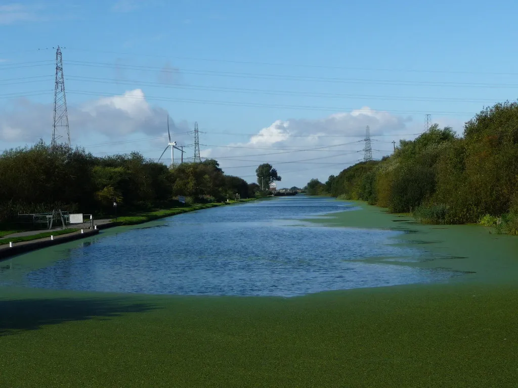
The Isle of Axholme Epic is a 151 km road cycling route that presents a challenge for experienced cyclists. With a total ascent of 411 meters, this route rewards riders with stunning views and a glimpse into the region's rich heritage. It takes you through traditional farming communities and showcases the diverse landscapes of the area.
road
151 km
411 m
Savage
Route profile
Highlights on the route
0 km
0 km
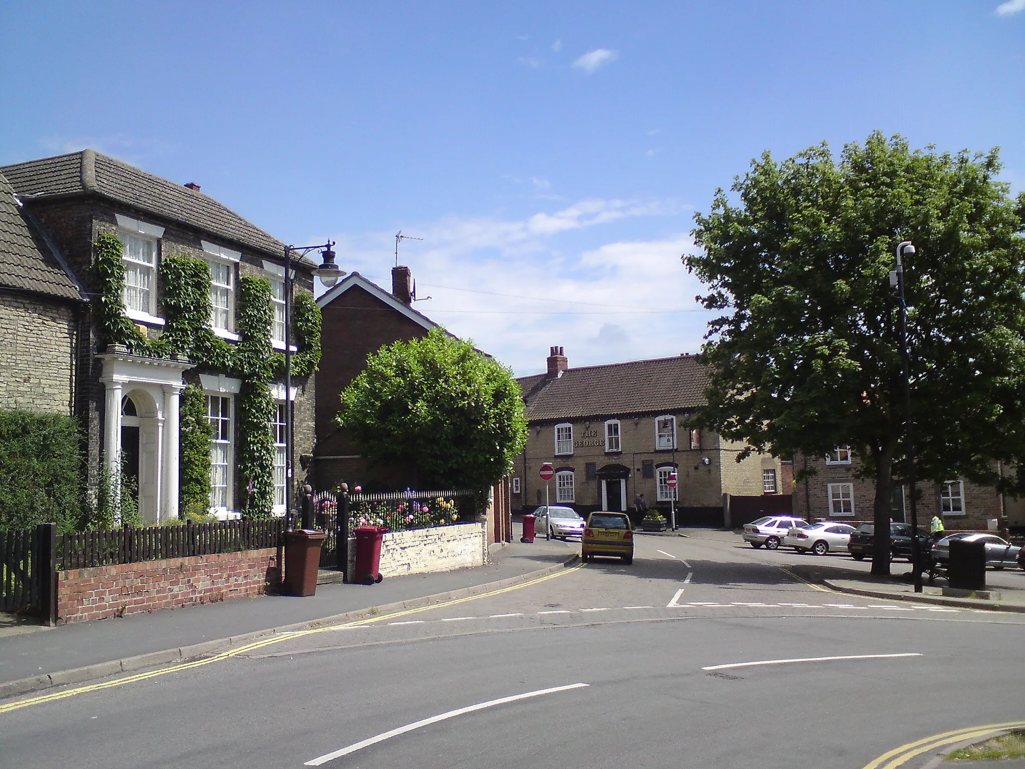
Start: Burton upon Stather Village centerBurton upon Stather: Idyllic countryside and proximity to the stunning Lincolnshire Wolds.
Situated in East Yorkshire and Northern Lincolnshire, Burton upon Stather offers a pleasant cycling experience within the United Kingdom. The locality boasts idyllic country lanes, charming villages, and breathtaking views of the surrounding landscapes. Cyclists can enjoy leisurely rides or challenge themselves on undulating terrain, perfect for road and gravel biking. Notably, Burton upon Stather is near the magnificent Lincolnshire Wolds, an Area of Outstanding Natural Beauty, offering cyclists the chance to venture into its stunning hills and valleys. With its scenic beauty and variety of cycling routes, Burton upon Stather is a great destination for cycling enthusiasts.3 km
3 km
FlixboroughVillageFlixborough, a historic village known for its impressive windmill, provides breathtaking views over the countryside.
23 km
23 km
EastoftVillageEastoft, situated on the banks of the River Trent, offers a peaceful atmosphere and serene surroundings.
32 km
32 km
SwinefleetVillageSwinefleet, located on the Isle of Axholme's edge, treats visitors to charming rural scenery and an abundance of wildlife.
40 km
40 km
AirmynVillageAirmyn, bordered by the picturesque River Aire, showcases a mix of natural beauty and traditional village charm.
59 km
59 km
East CottingwithVillageEast Cottingwith, nestled amidst rolling hills and pastoral landscapes, is a delightful stop to soak in the beauty of the East Riding countryside.
72 km
72 km
WilberfossVillageWilberfoss, surrounded by idyllic farmlands, is a serene village renowned for its beautiful parish church.
83 km
83 km
PocklingtonTownPocklington, a vibrant market town with a rich cultural heritage, offers a range of attractions and a charming atmosphere.
98 km
98 km
Market WeightonTownMarket Weighton, home to the iconic Giant Bradley statue, invites visitors to delve into the region's history and folklore.
117 km
117 km
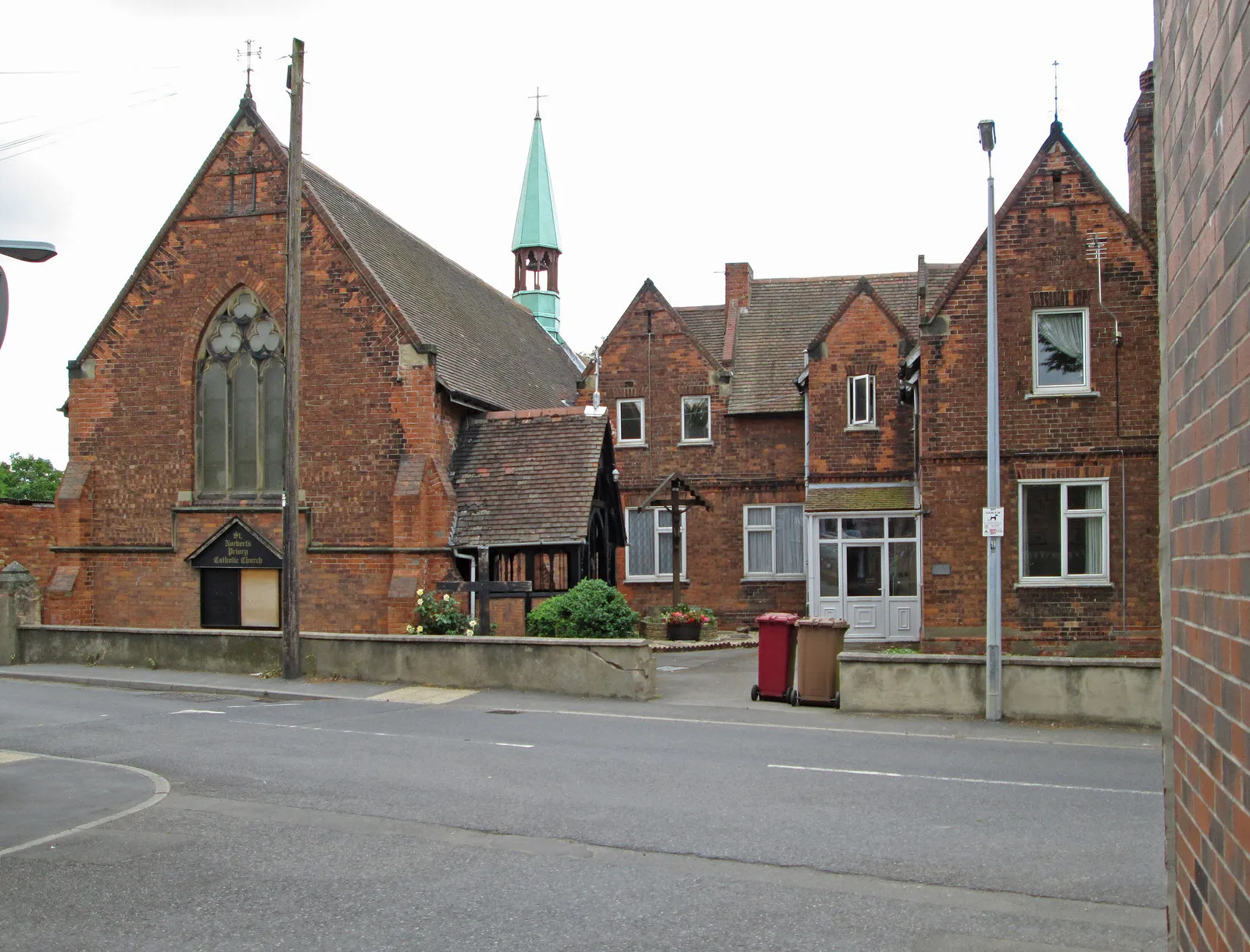
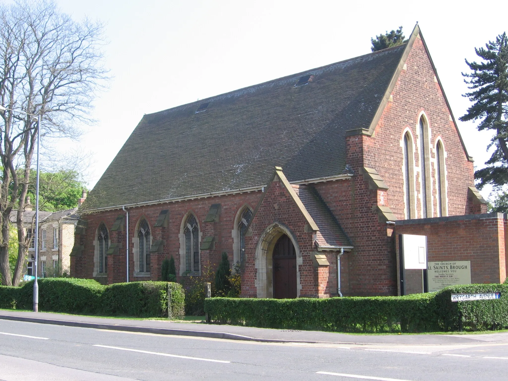
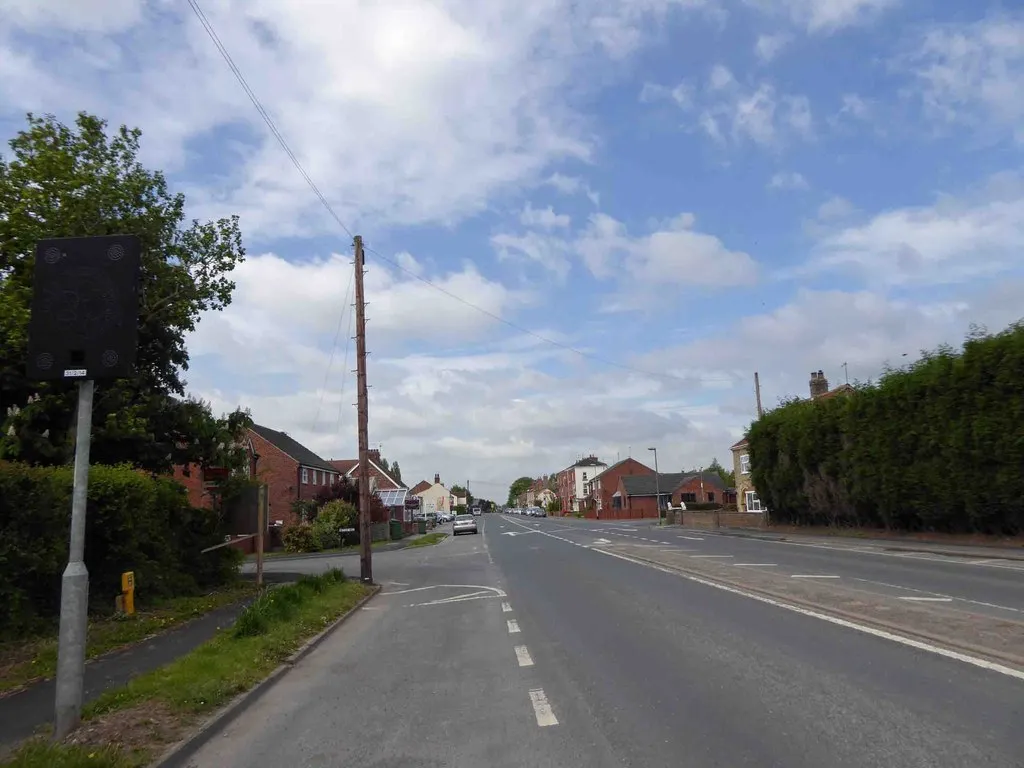
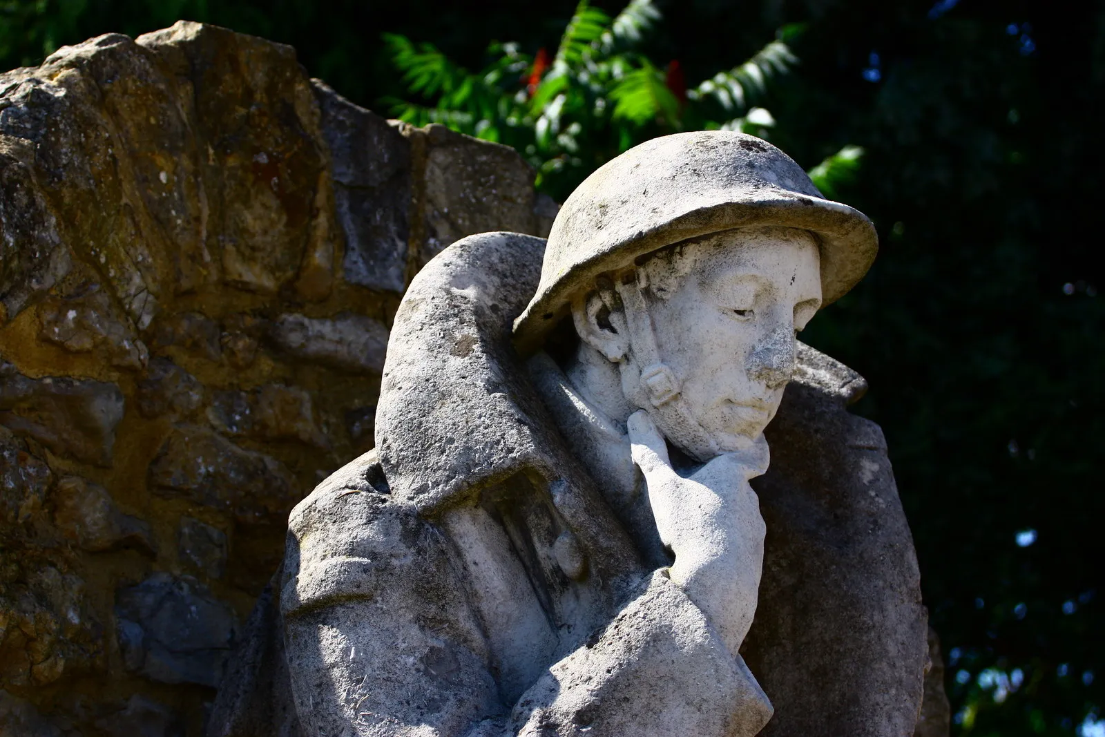
BroughVillageBrough, a historic market town with Roman roots, provides an opportunity to explore its fascinating architectural gems and cultural sites.
144 km
144 km
West HaltonVillageWest Halton, a picturesque village surrounded by breathtaking countryside, offers a perfect spot to take in the beauty of the Isle of Axholme.
151 km
151 km
Finish: Burton upon Stather Village centerBurton upon Stather: Idyllic countryside and proximity to the stunning Lincolnshire Wolds.
Cycling routes from Burton upon Stather:
Wolds Scenic Loop The Industrial Trail Cycle Route The Villages Escape Scenic Gravel Escape The Riverside Ride Historical Road of the Vikings Scenic River Ride Gravel Adventure Countryside Escape Challenging Countryside Loop The Humber Banks Gravel Adventure: The Crowle Moor Loop The Isle of Axholme Epic
Cycling routes nearby: