Cycle through stunning landscapes and explore charming attractions in South Cave.
Cycling routes from South Cave
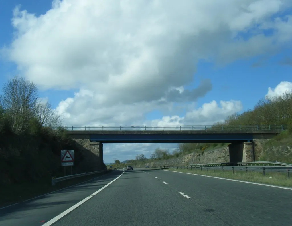
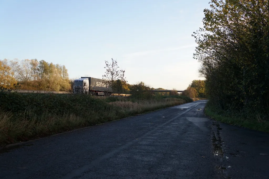
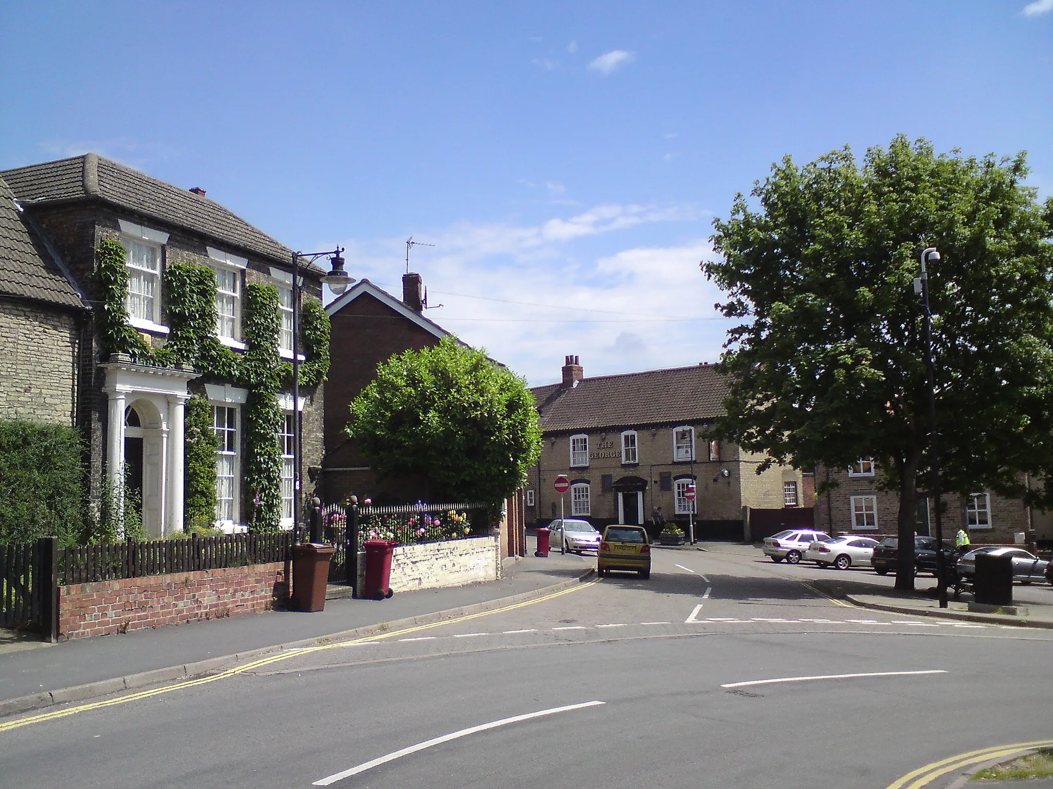
South Cave, located in East Yorkshire and Northern Lincolnshire, offers a delightful cycling experience. The region has a diverse terrain, with both flat stretches and rolling hills, providing options for riders of all levels. The quiet country roads passing through beautiful landscapes make South Cave a haven for road and gravel cyclists. One of the nearby attractions is Drewton Park, a renowned farm shop and cafe where cyclists can stop for a refuel. While not home to famous climbs, the scenic routes and cyclist-friendly atmosphere make South Cave an excellent cycling destination.
Cycle through the scenic countryside, with South Cave as the starting point
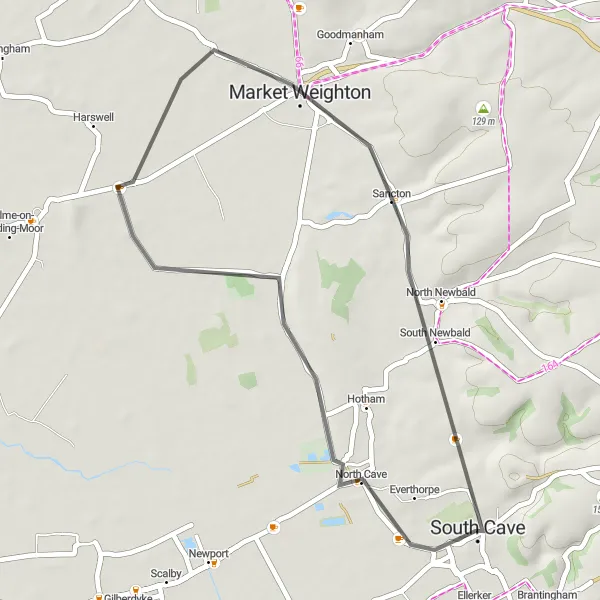
Embark on a delightful cycling adventure starting from South Cave and explore the surrounding charm of the East Yorkshire and Northern Lincolnshire countryside. This route covers a distance of 79 km with a relatively easy ascent of 35 meters, making it suitable for cyclists of all levels. The picturesque countryside will captivate you as you pedal through small villages and rolling landscapes.
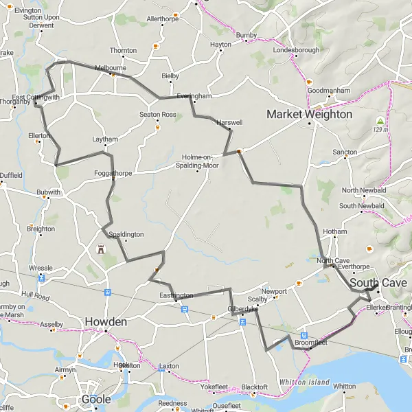
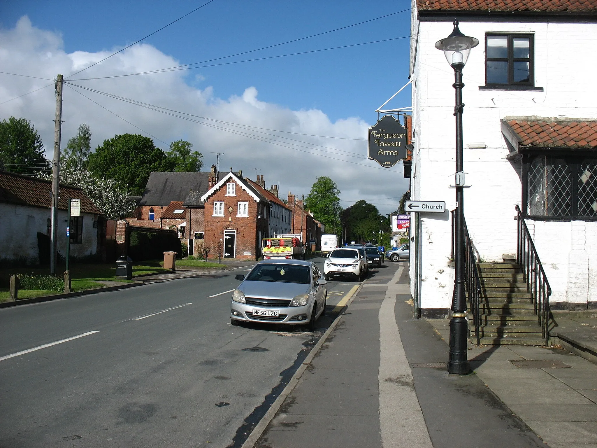
South Cave to Howden Circular
Embark on a circular route from South Cave to Howden, showcasing the beautiful Yorkshire countryside.
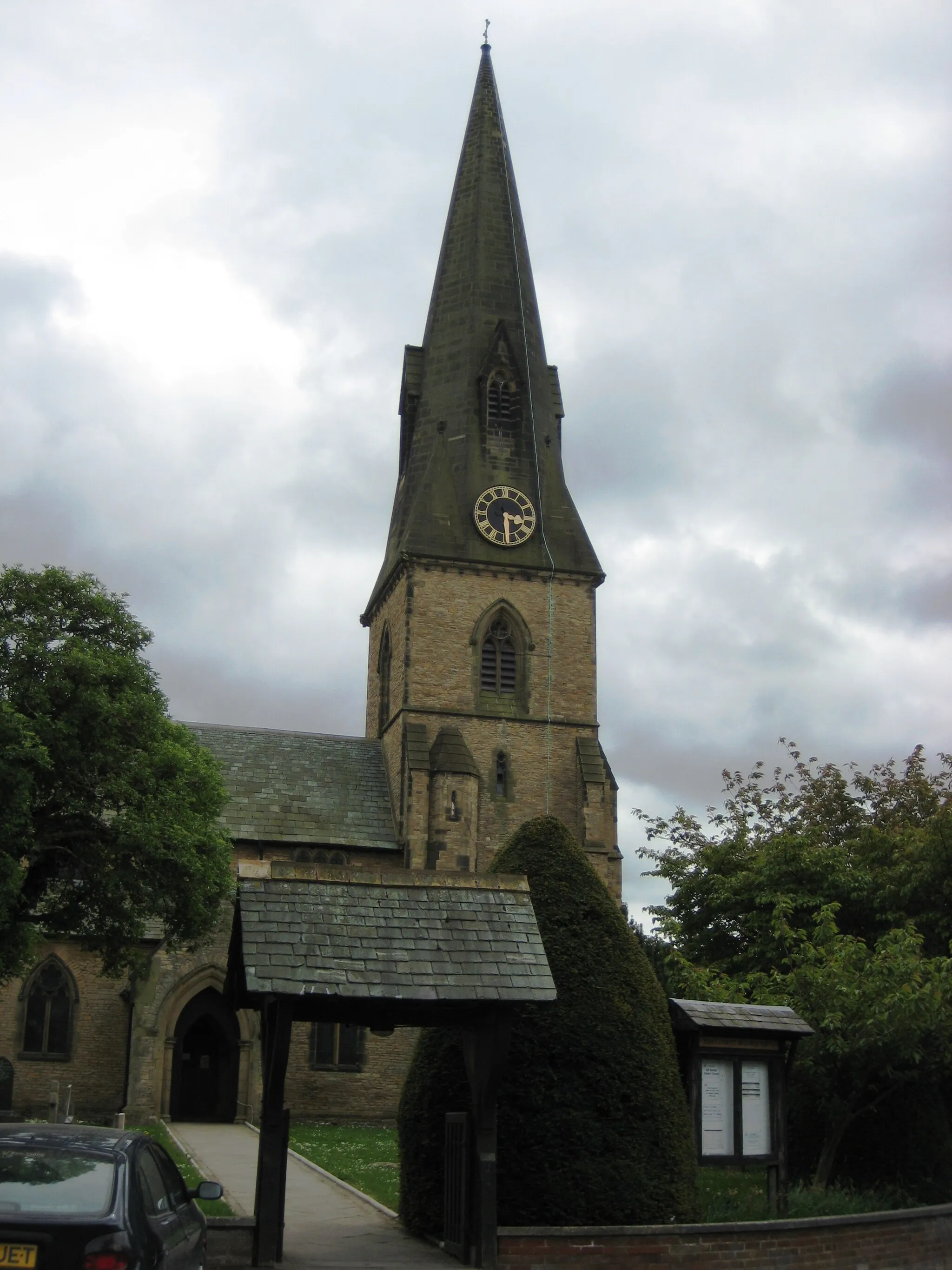
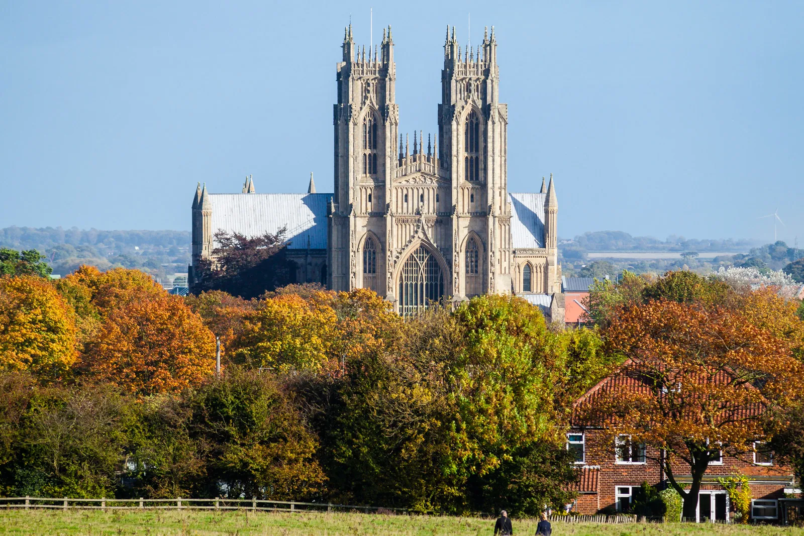
This 107-kilometer road cycling route takes you from South Cave to Howden and back, passing through scenic villages such as Broomfleet, Camblesforth, Cawood, and Foggathorpe. With an ascent of 138 meters, this route is suitable for amateur cyclists with moderate fitness levels. The epicness of this route is rated 3 out of 5, offering a mix of gentle rolling hills and picturesque landscapes. Highlights along the route include the tranquil village of Broomfleet, the historic town of Howden with its iconic Minster, and the charming village of Cawood with its medieval castle ruins.
Kirk Ella to Elloughton Loop
Experience the iconic Humber Bridge and enjoy scenic countryside views on this road cycling route.
Embark on this road cycling route that starts in Kirk Ella and takes you across the Humber Bridge, offering breathtaking views of the river and surrounding area. The route covers a distance of 40km, with a moderate ascent of 306m. Enjoy the beautiful landscapes as you pass through Elloughton. Suitable for well-trained amateur cyclists, this route offers a good balance between challenge and enjoyment.
Experience a challenging ride through the rolling hills and enjoy breathtaking views
This route is perfect for those seeking a more challenging cycling adventure. With an ascent of 884 meters and a distance of 125 km, it offers a rewarding ride through the scenic countryside of East Yorkshire and Northern Lincolnshire. The route includes steep hills and winding roads, providing a thrilling experience for well-trained amateurs. Along the way, you'll pass through picturesque villages, offering opportunities to refuel and enjoy local hospitality.
Explore the scenic Yorkshire Wolds on this road cycling route through picturesque villages.
Embark on this scenic road cycling route that takes you from North Cave to North Newbald, offering breathtaking views of the Yorkshire Wolds. The distance covered is 34km, with a moderate ascent of 136m. As you cycle through the tranquil countryside, you will pass by the charming village of Market Weighton. This route is suitable for well-trained amateur cyclists and provides an excellent opportunity to experience the beauty of the Yorkshire Wolds.
South Cave to Beverley Loop
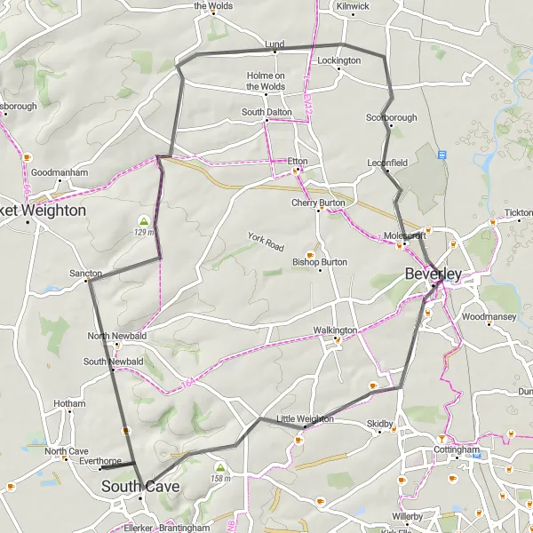
Cycle from South Cave to Beverley, exploring the scenic routes of East Yorkshire.
This 57-kilometer road cycling route takes you from South Cave to the historic town of Beverley, passing through Sancton, Lund, and Beverley. With a manageable ascent of 384 meters, this route is suitable for well-trained amateur cyclists. The epicness of this route is rated 3 out of 5, offering beautiful rural landscapes and charming villages. Highlights along the route include the picturesque village of Sancton, the peaceful countryside surroundings of Lund, and the rich heritage of the historic town of Beverley with its stunning medieval Minster.
South Cave to Ellerker Loop
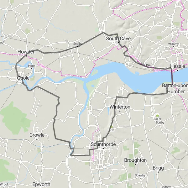
Discover the charming countryside between South Cave and Ellerker on this scenic cycling route.
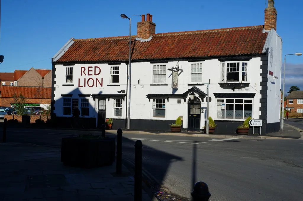
This 99-kilometer road cycling route takes you through the picturesque towns and villages of Brough, South Ferriby, Scunthorpe, Gunness, Goole, Gilberdyke, and Ellerker. The route offers stunning views of the surrounding rolling hills and countryside. With a manageable ascent of 287 meters, this route is suitable for well-trained amateur cyclists. The epicness of this route is rated 3 out of 5, making it an enjoyable ride for cyclists looking for a moderate challenge. Highlights along the route include the historic town of Brough, the scenic village of South Ferriby, and the charming town of Scunthorpe.
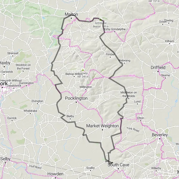
Take on epic climbs and discover historic landmarks on this challenging route
Prepare for an epic cycling adventure through the glorious hills and historic landmarks of East Yorkshire and Northern Lincolnshire. This challenging route spans 152 km with an ascent of 831 meters, making it suitable for experienced cyclists seeking a true test of endurance. Along the way, you'll conquer steep climbs, enjoy breathtaking views, and experience the rich history of the region.
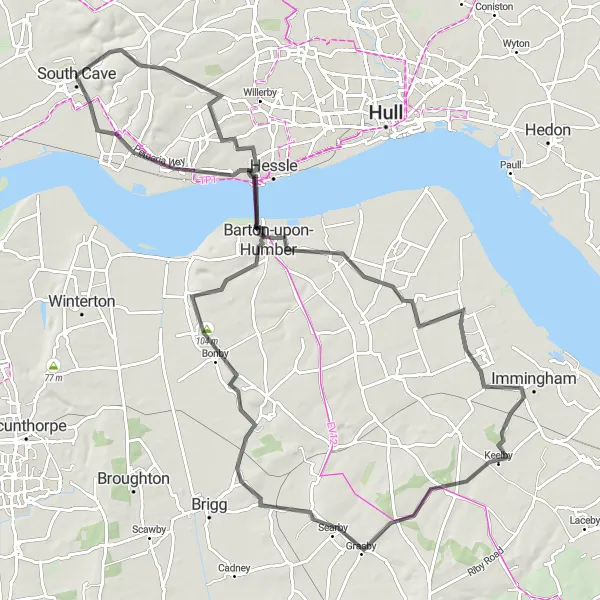
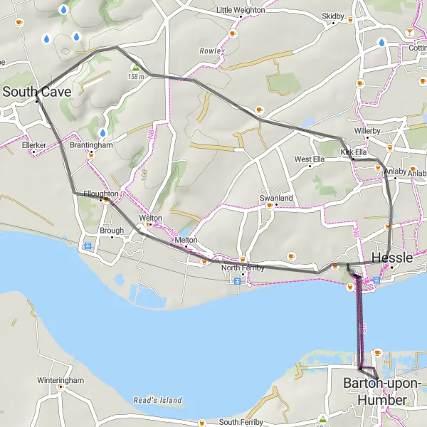
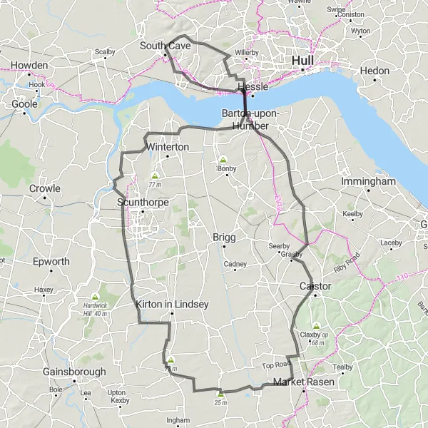
Cycle from South Cave to Barton-upon-Humber, exploring the scenic routes through Yorkshire and Northern Lincolnshire.
This 103-kilometer road cycling route takes you from South Cave to Barton-upon-Humber and back, passing through Swanland, North Killingholme, Keelby, Wrawby, Bonby, and North Ferriby. With a challenging ascent of 641 meters, this route is recommended for experienced cyclists with good fitness levels. The epicness of this route is rated 4 out of 5, offering a variety of terrains and stunning landscapes. Highlights along the route include the picturesque village of Swanland, the historic town of Barton-upon-Humber with its stunning medieval church, and the scenic village of North Ferriby with its picturesque waterfront.
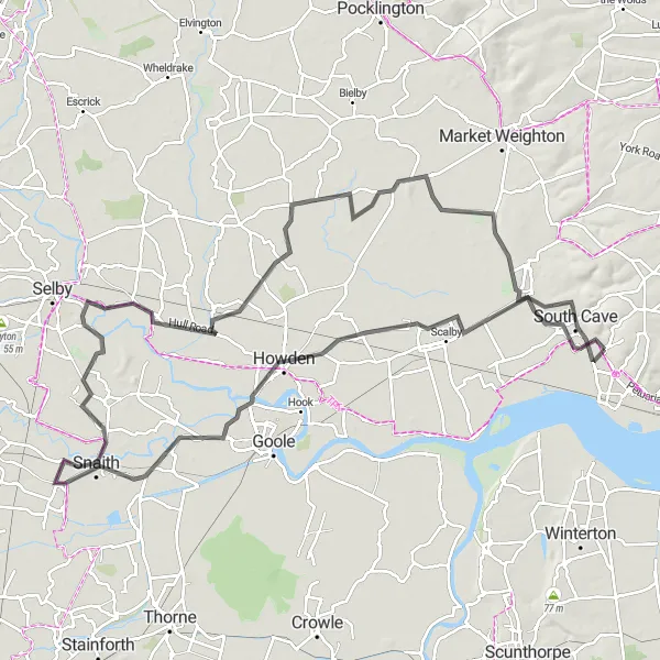
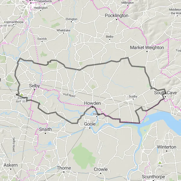
Embark on a circular route from South Cave to Hemingbrough, showcasing the beautiful countryside of East Yorkshire.
This 106-kilometer road cycling route takes you from South Cave to Hemingbrough and back, passing through South Cliffe, Foggathorpe, Snaith, Airmyn, and North Cave. With a moderate ascent of 101 meters, this route is suitable for amateur cyclists with a reasonable level of fitness. The epicness of this route is rated 3 out of 5, offering a mix of picturesque countryside and charming villages. Highlights along the route include the peaceful village of South Cliffe, the picturesque countryside surroundings of Foggathorpe, and the historic town of Snaith with its medieval market square.
Cycling routes nearby:

Nearby regions: