North Cave to North Newbald Loop
A road cycling route starting from South Cave
Explore the scenic Yorkshire Wolds on this road cycling route through picturesque villages.
Map
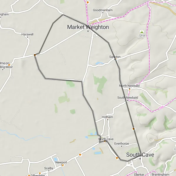
Embark on this scenic road cycling route that takes you from North Cave to North Newbald, offering breathtaking views of the Yorkshire Wolds. The distance covered is 34km, with a moderate ascent of 136m. As you cycle through the tranquil countryside, you will pass by the charming village of Market Weighton. This route is suitable for well-trained amateur cyclists and provides an excellent opportunity to experience the beauty of the Yorkshire Wolds.
road
34 km
136 m
Chill
Route profile
Highlights on the route
0 km
0 km
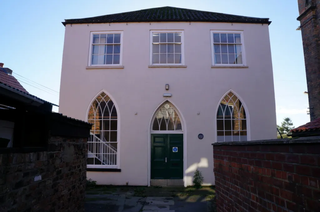
Start: South Cave City centerSouth Cave: Cycle through stunning landscapes and explore charming attractions in South Cave.
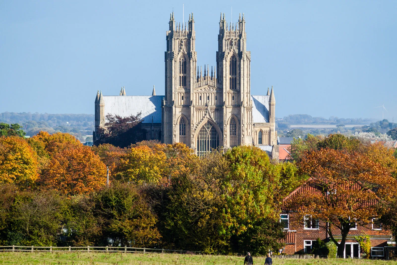
South Cave, located in East Yorkshire and Northern Lincolnshire, offers a delightful cycling experience. The region has a diverse terrain, with both flat stretches and rolling hills, providing options for riders of all levels. The quiet country roads passing through beautiful landscapes make South Cave a haven for road and gravel cyclists. One of the nearby attractions is Drewton Park, a renowned farm shop and cafe where cyclists can stop for a refuel. While not home to famous climbs, the scenic routes and cyclist-friendly atmosphere make South Cave an excellent cycling destination.3 km
3 km
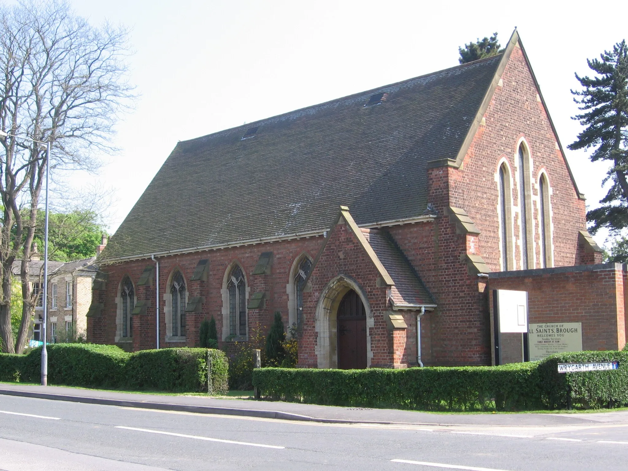
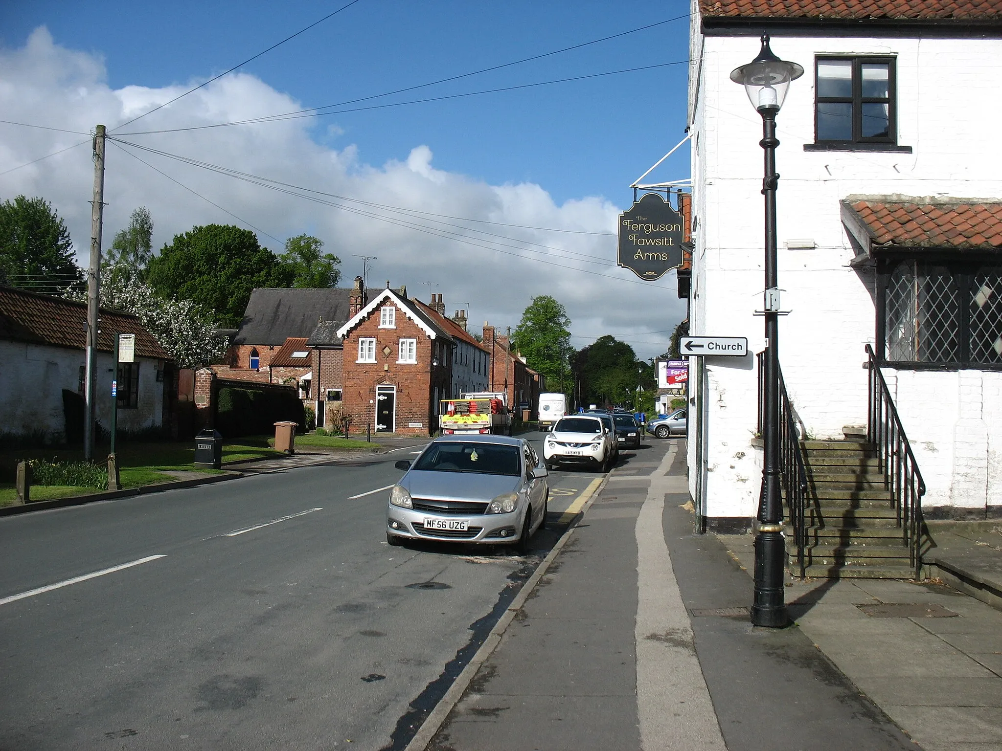
North CaveVillageNorth Cave is nestled within rolling hills and offers stunning views of the Yorkshire Wolds, perfect for nature enthusiasts.
21 km
21 km
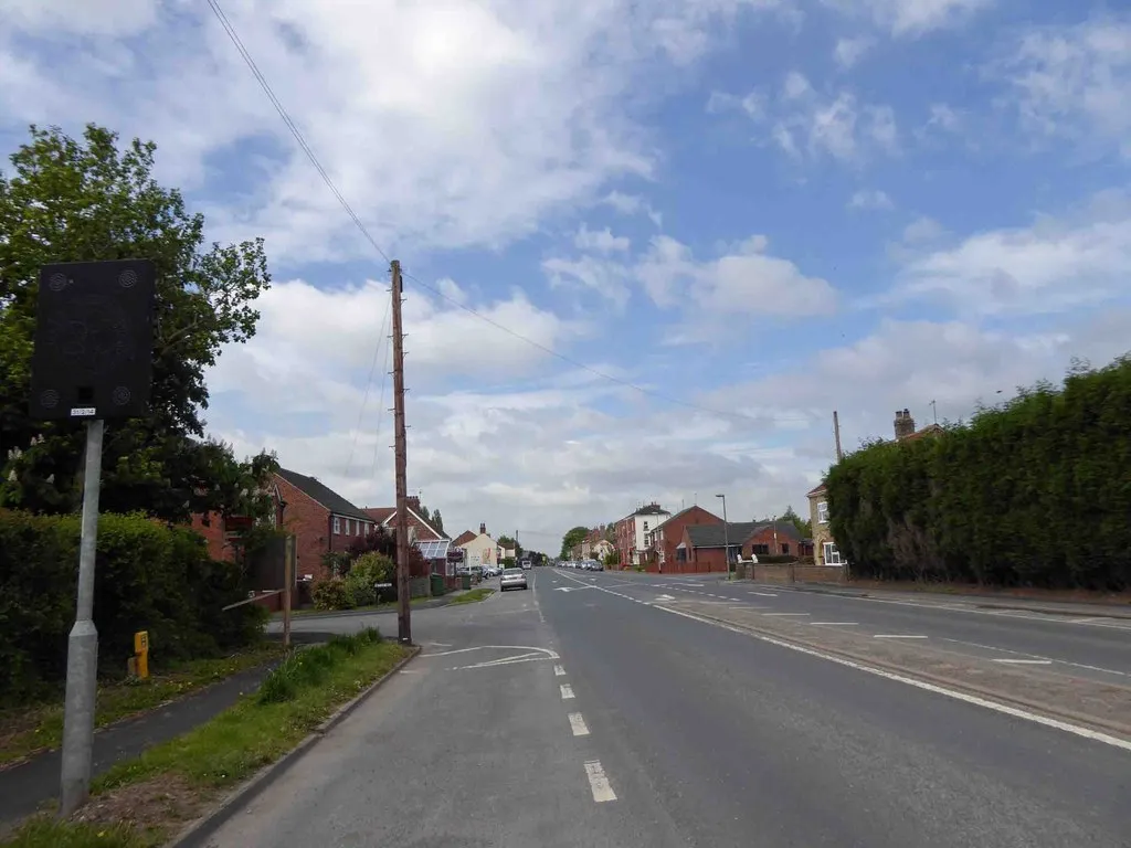
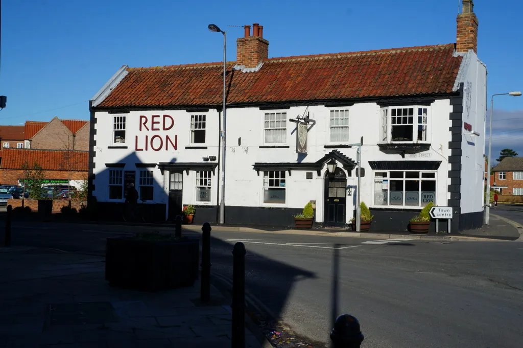
Market WeightonTownMarket Weighton is a historic market town known for its geological significance, including being the site where William Smith created the first nationwide geological map of England.
28 km
28 km
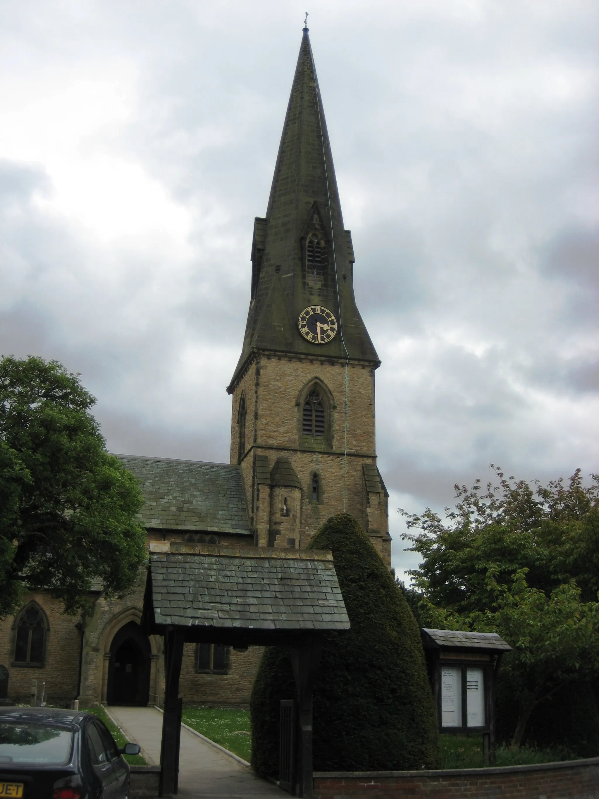
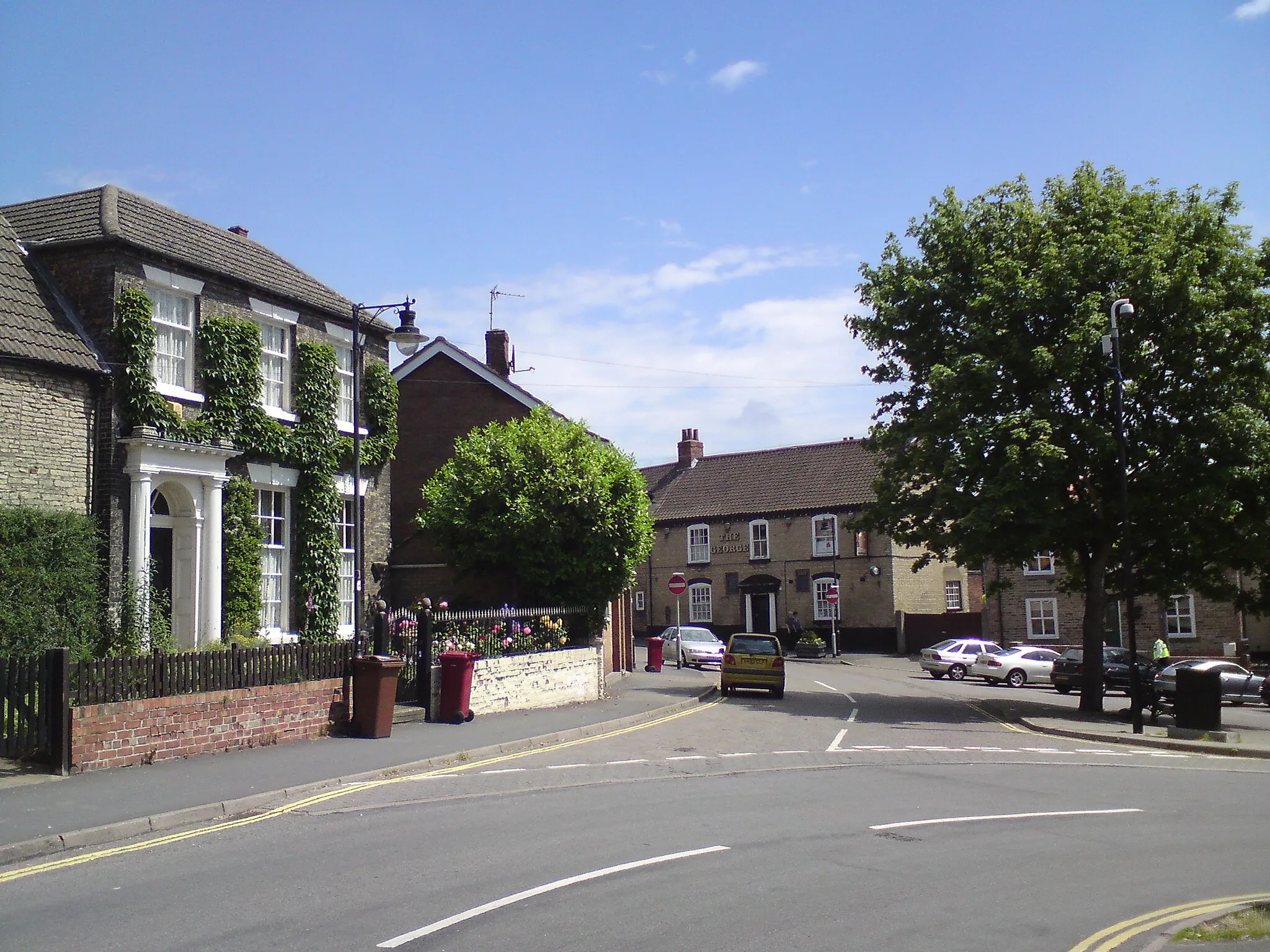
North NewbaldVillageNorth Newbald, an architectural gem, features a charming pond and several idyllic cottages.
34 km
34 km
Finish: South Cave City centerSouth Cave: Cycle through stunning landscapes and explore charming attractions in South Cave.
Cycling routes from South Cave:
South Cave to Sancton Loop Humber Bridge and the Rural Roads South Cave and the Surrounding Charm Scenic Routes and Charming Villages Challenging Hills and Stunning Views North Cave to North Newbald Loop Kirk Ella to Elloughton Loop Sancton to Kirk Ella Loop Epic Hills and Historic Landmarks Humber Bridge to Goole Loop South Cave to Ellerker Loop South Cave to Barton-upon-Humber Loop South Cave to Howden Circular South Cave to Beverley Loop South Cave to Hemingbrough Circular
Cycling routes nearby: